The alternative for Einsiedeln
DIDIER HEUMANN, ANDREAS PAPASAVVAS
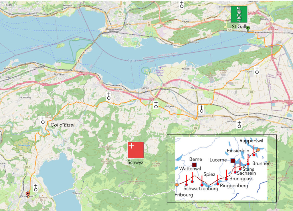
We divided the course into several sections to make it easier to see. For each section, the maps show the course, the slopes found on the course, and the state of the roads. The courses were drawn on the “Wikilocs” platform. Today, it is no longer necessary to walk around with detailed maps in your pocket or bag. If you have a mobile phone or tablet, you can easily follow routes live.
For this stage, here is the link:
https://fr.wikiloc.com/itineraires-randonnee/de-shmerikon-a-einsiedeln-par-la-via-jacobi-4-65308116
It is obviously not the case for all pilgrims to be comfortable with reading GPS and routes on a laptop, and there are still many places without an Internet connection. Therefore, you can find a book on Amazon that deals with this course. Click on the title of the book to open Amazon.
If you only want to consult lodging of the stage, go directly to the bottom of the page.
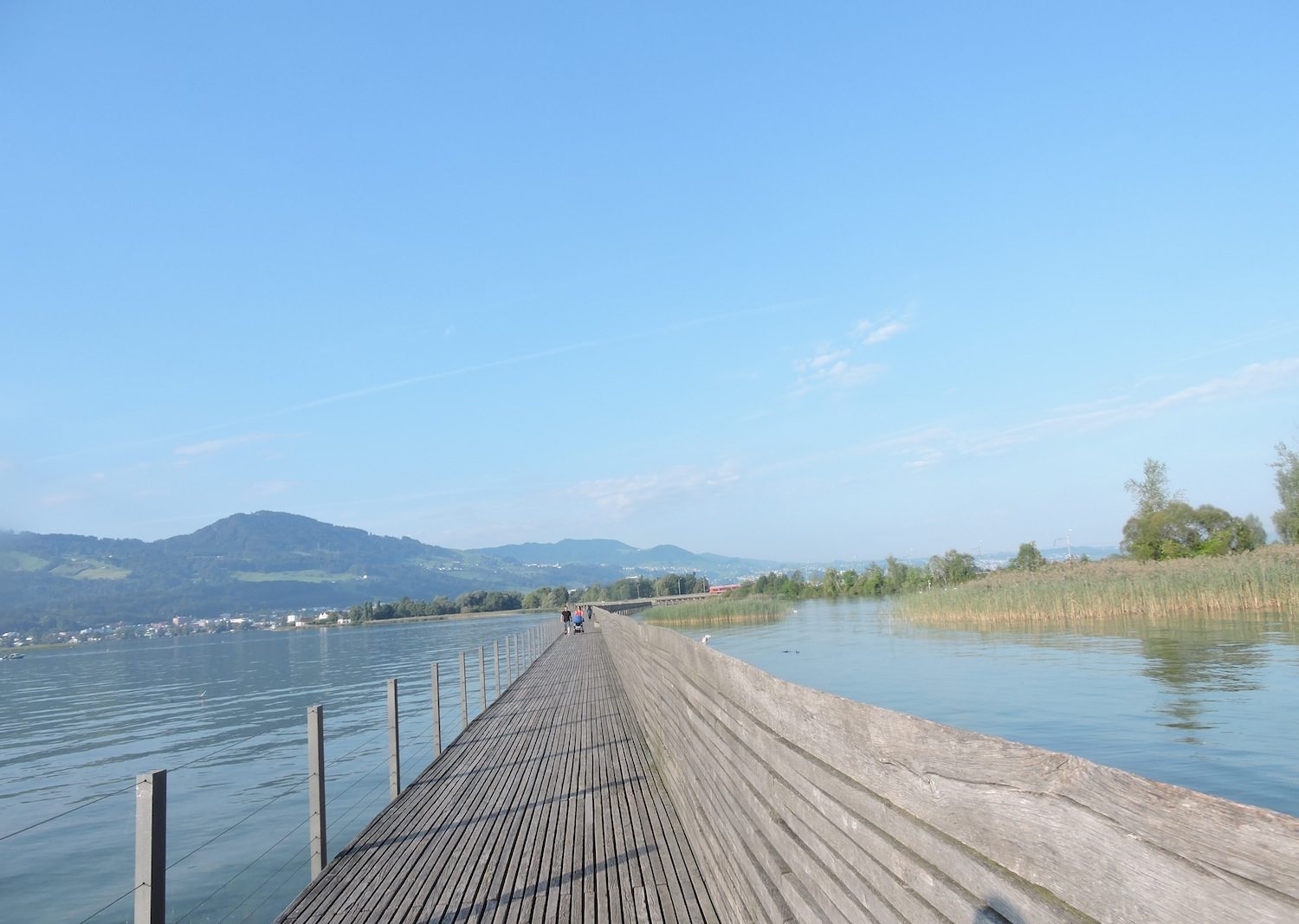
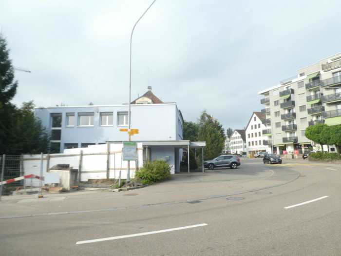
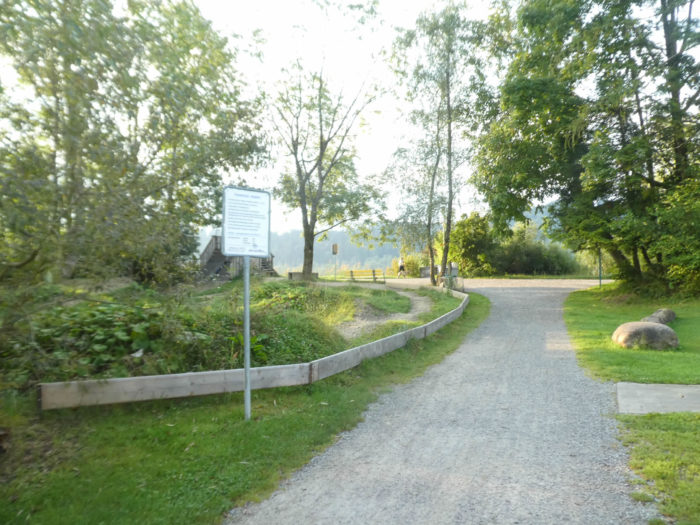
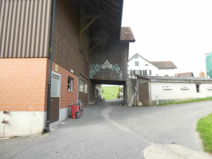
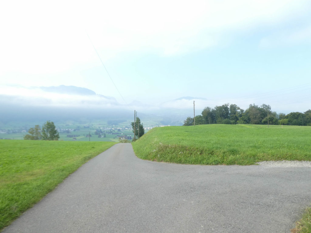
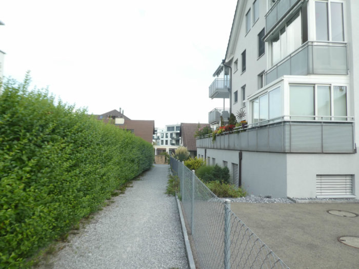
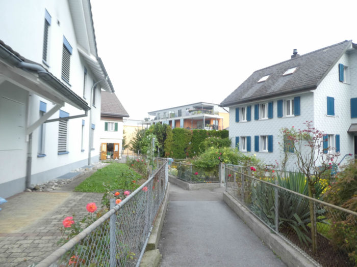
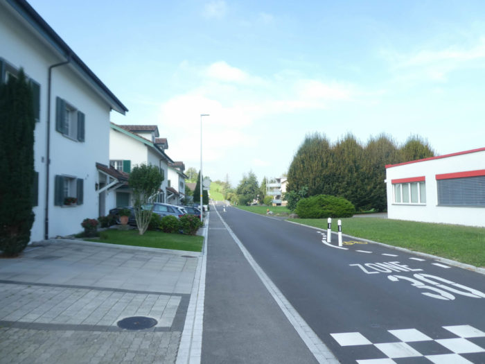
We have mentioned earlier that when the route reaches Neuhaus, it enters a more densely populated area where villages almost blend into Rapperswil. Though not as dense, the Rapperswil basin is quite populated due to its proximity to Zurich. A wise alternative is to veer away from the route leading directly to Rapperswil and descend towards Lake Zurich. However, here in Schmerikon, another option beckons the wandering soul. You may choose to bypass Rapperswil entirely and head straight towards Einsiedeln. Contrary to popular belief, the Via Jacobi 4 does not pass through Rapperswil, which, in our opinion, is a shame.
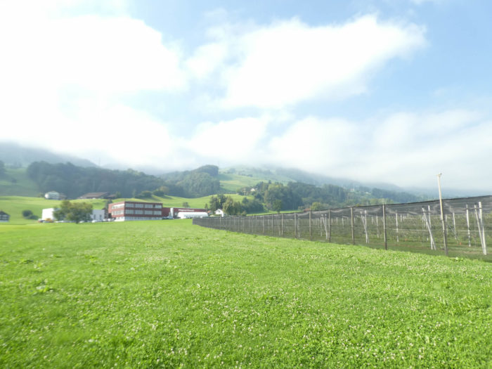
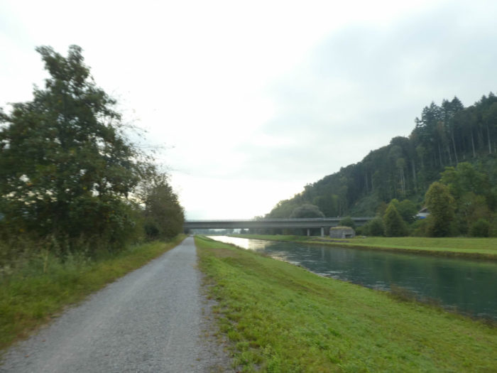
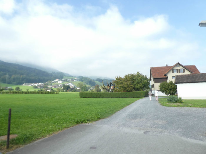
This leg spans a respectable distance of 30 kilometers on foot, marked by two distinct and striking phases. The first half mainly traverses the plain, adorned with bustling small towns. This is where the A3 highway, stretching from Zurich to the Grisons, majestically dominates the landscape. As for the second portion, it unveils one of the most enchanting panoramas along the Way of St. James in Switzerland, winding through alpine pastures and forests overlooking the lake. While the terrain may sometimes rise abruptly, its beauty matches its grandeur. Thus, you are faced with the age-old dilemma between two exquisite stages, each boasting beauty and charm, albeit in different ways. The architects of Schweiz Mobil could perhaps have orchestrated a more harmonious connection between these two jewels of the trail, as crossing the bridge over the lake at Rapperswil remains etched in memory. On this stretch of the Via Jacobi 4, however, over 16 kilometers of walking unfold without major elevation changes in the plain, offering a tableau lacking the intoxicating allure of alpine peaks and vistas. The choice is yours.
Difficulty level: This stage presents notable inclines (+790 meters/-298 meters), though the length of the stage somewhat mitigates their impact. Indeed, the ascent to the Etzel Pass demands more effort than from Rapperswil, characterized by a slight ascent after Tuggen. The beginning of the journey, aside from the elevation gain at Tuggen, unfolds smoothly for nearly 16 kilometers until Hüsteten appears on the horizon. From there, it’s a strenuous climb of over 7 kilometers, ascending almost 500 meters in altitude, until reaching the Etzel Pass. Once you’ve crossed the pass, you’re familiar with the remainder of the previous stage.

State of the Via Jacobi: Asphalt predominates, a regrettable contrast with the splendor of the path that unfolds before you:
- Paved roads: 22.1 km
- Dirt roads: 7.9 km
Sometimes, for reasons of logistics or housing possibilities, these stages mix routes operated on different days, having passed several times on Via Podiensis. From then on, the skies, the rain, or the seasons can vary. But, generally this is not the case, and in fact this does not change the description of the course.
It is very difficult to specify with certainty the incline of the slopes, whatever the system you use.
For those seeking “true elevations” and enthusiasts of genuine altimetric challenges, carefully review the information on mileage at the beginning of the guide.

We have divided the route into several sections, to facilitate visibility. For each section, the maps give the route, the slopes found on the route and the state of Via Jacobi.
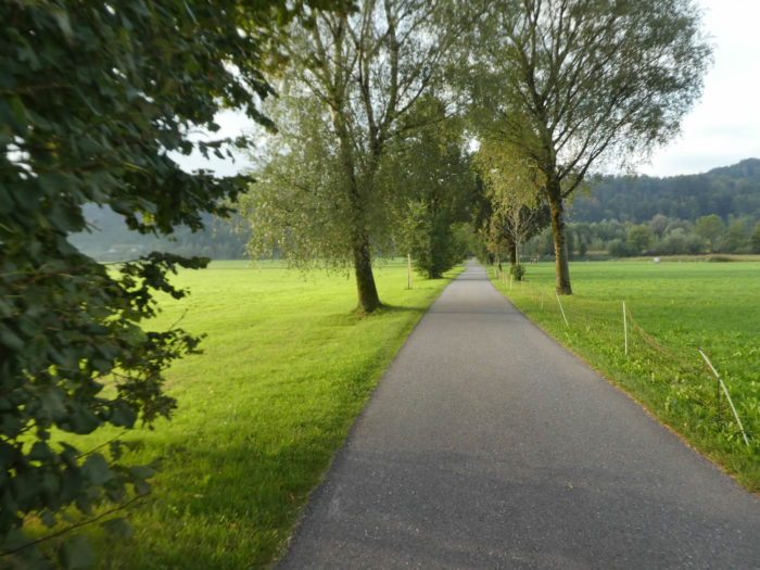
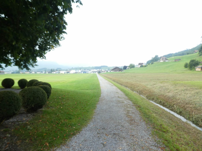
Section 1: Along canals and rivers.
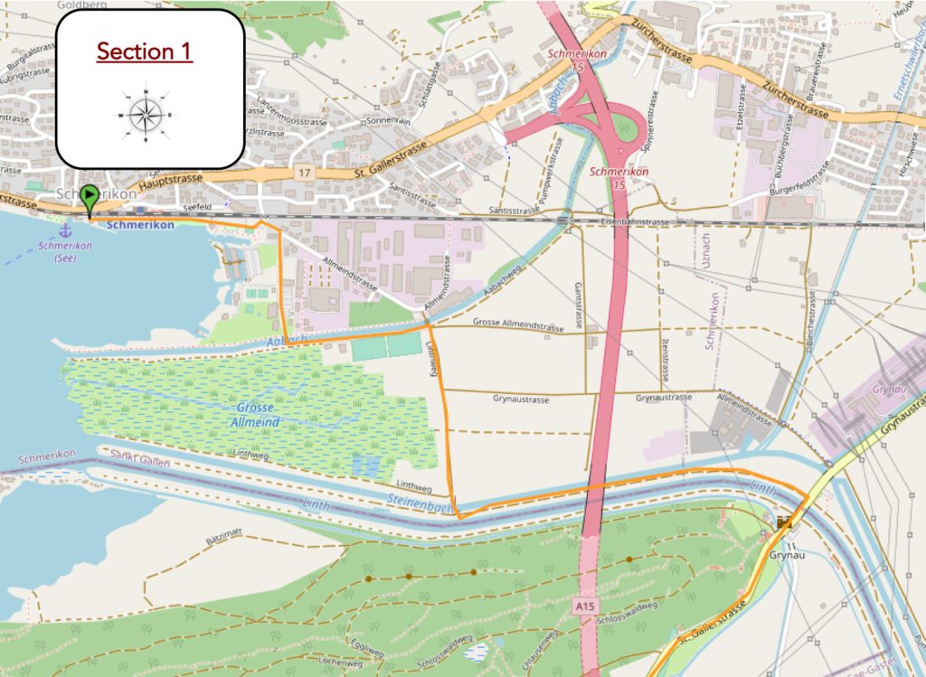
Overview of the route’s challenges: easy course.

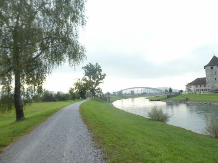
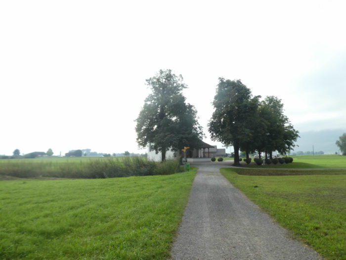
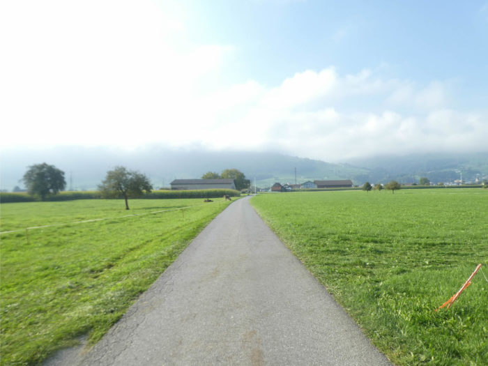
| The Via Jacobi swiftly departs from Schmerikon, heading towards the bay and the vast playgrounds. |
 |
 |
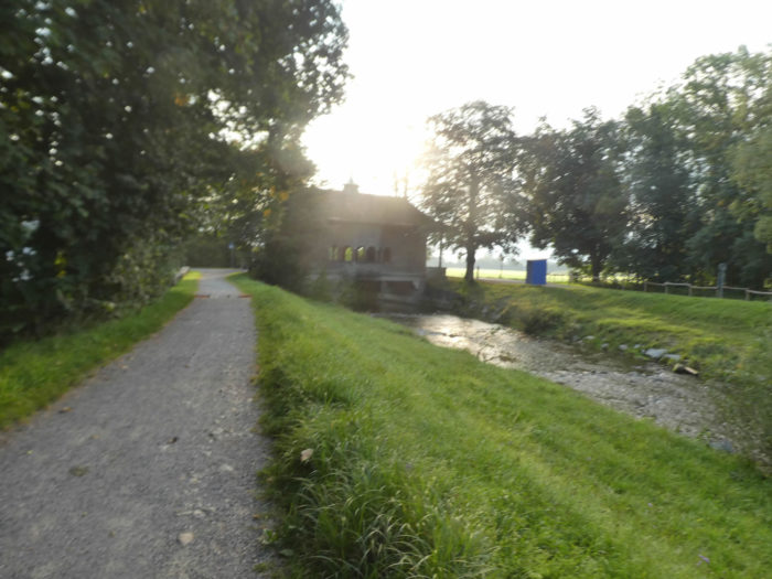
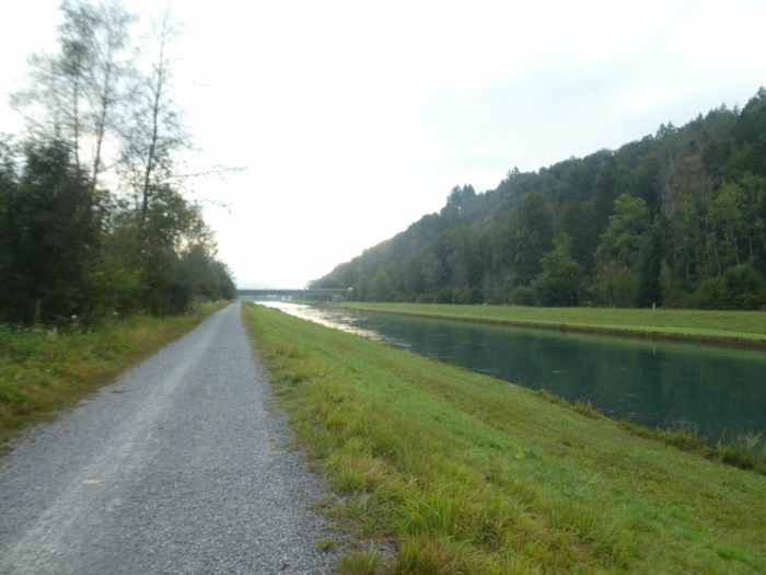
There, it follows along the Aabach on a generously wide gravel path, occasionally hinting at a propensity for marshland. The scene sometimes resembles a painting where water reflections blend with vegetation, creating a mysterious yet captivating atmosphere.
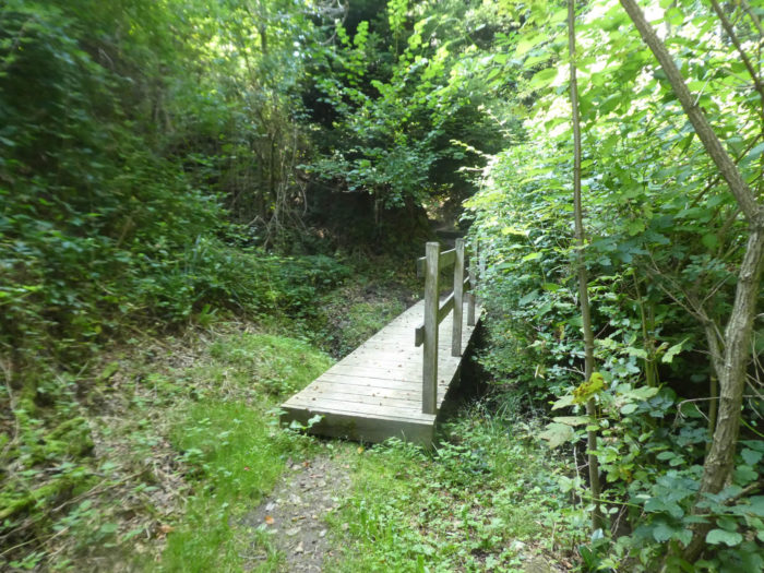
| Shortly after, it crosses the river on a retro-looking wooden bridge, a tangible relic from the early 20th century, bearing witness to the passage of time and the history woven along these banks. |
 |
 |
| A little further, a modest asphalt road stretches, blending harmoniously into the meadows where majestic oaks and proud maples thrive. It’s a path that seems to beckon the traveler, inviting them to immerse themselves in the splendor of the surrounding nature. |
 |
 |
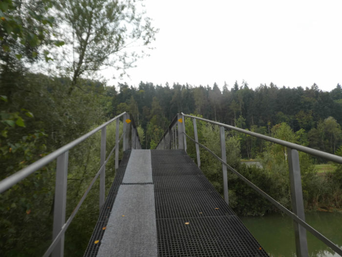
| The journey on this paved road is brief, and soon, the Via Jacobi reveals a metal bridge arching over the dark waters of the Steinenbach, a tributary running parallel to the Linth. Here, the steel gracefully curves, resembling a dance with the elements, offering the walker a safe and sturdy passage above the waters. |
 |
 |
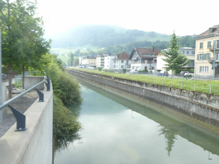
| The Linth, twin sister of the Steinenbach, then unfolds before the walkers, bearing witness to a history where natural elements bent to human will, channeled in their meanders by skilled hands. The gravel path stretches peacefully between these two watercourses, offering the walker a spectacle where the poetry of river meanders blends with the tranquility of the banks. |
 |
 |
| Here, these two rivers, once tumultuous, have been tamed, channelized, as if to emphasize the hand of man in the landscape. And as the canton of St. Gallen skirts the border, it is not uncommon to encounter military barracks along the way, not silent reminders of ancient times and forgotten conflicts, but often arsenals or ammunition depots. Switzerland remains a heavily armed nation even today. |
 |
 |
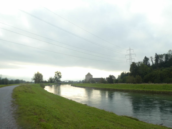
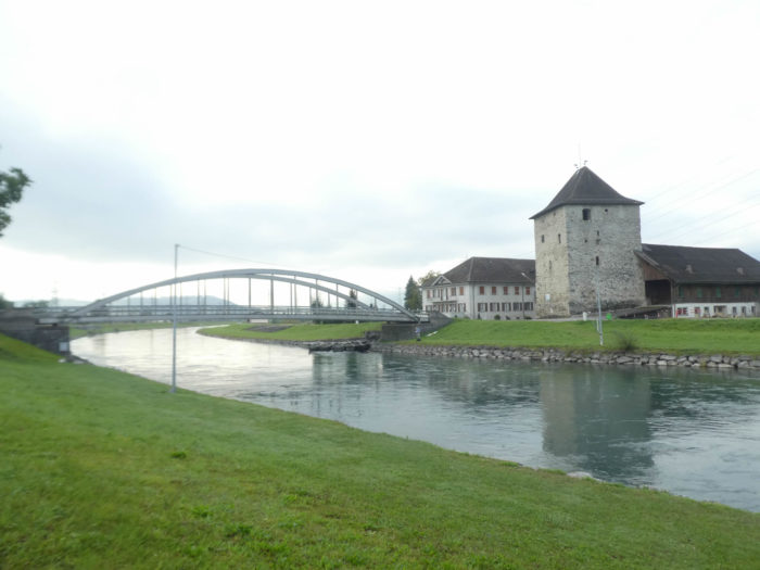
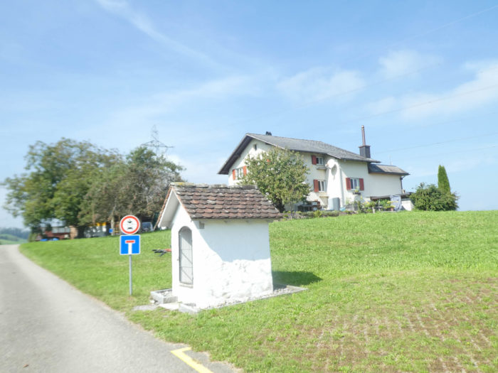
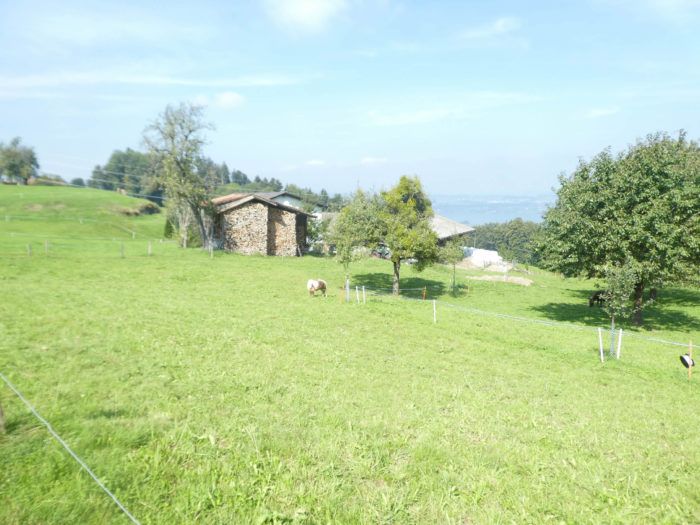
| The imposing silhouette of the Grynau tower suddenly emerges, an enigmatic guardian of a troubled past, erected without a precise date but laden with legends and uncertainties. Long considered a Roman sentinel, it remains strangely devoid of artifacts from that era. Witness to the ages, it was alternately a bastion of the Habsburgs and then the residence of the counts of Toggenburg in the Middle Ages. From fortified dwelling to strategic stronghold, it has crossed the centuries, a silent guardian of the vicissitudes of history. |
 |
 |
| The area here was a strategic place. Austrians, Swiss and French fought here. The Swiss fought to find out who was the owner, Schwyz, St Gall and Zürich claiming the castle on numerous occasions. For a long time, this work was a customs post, because before its correction, the Linth River bypassed the rock on which the medieval tower stands. All the traffic of goods and people coming from the east of the country and heading towards central Switzerland and the Gotthard could be controlled and directed from the tower. The customs post was definitively abolished in 1848 when in Switzerland the cantonal borders were abolished. In 1877, the castle was sold to the highest bidder and since then it has remained private property. The Grynau tower was completely destroyed by fire in 1906. It was rebuilt and topped with a new roof. Currently, the premises on the ground floor and first floor serve as deposits for the owner of the neighboring restaurant. |
 |
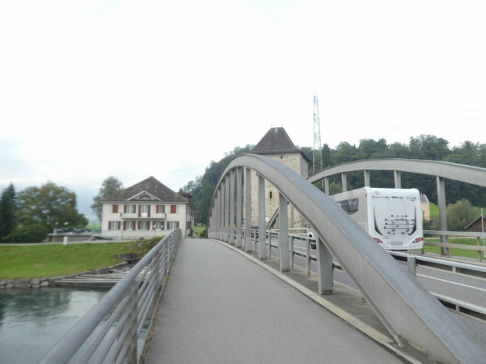 |
| Nevertheless, today, here you cross the Linth and exit the canton of St. Gallen for the canton of Schwyz. |
 |
 |
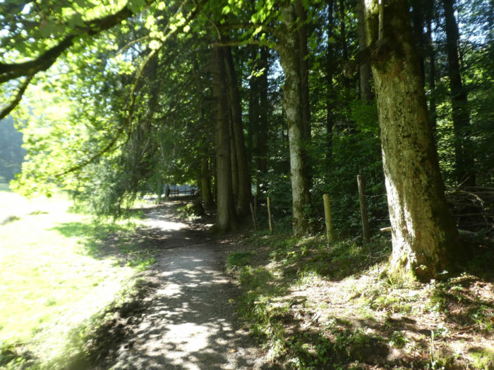
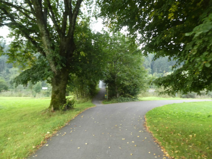
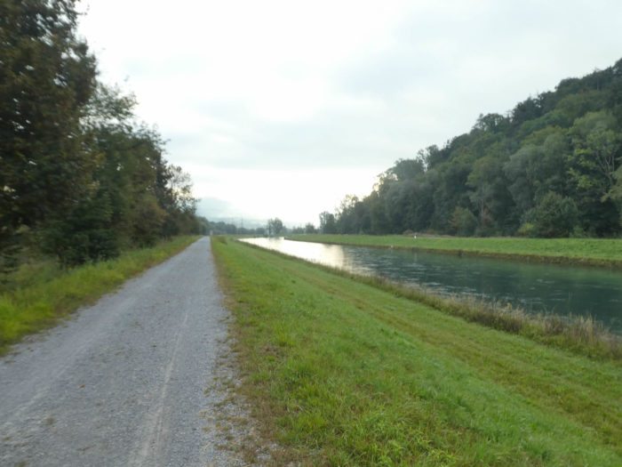
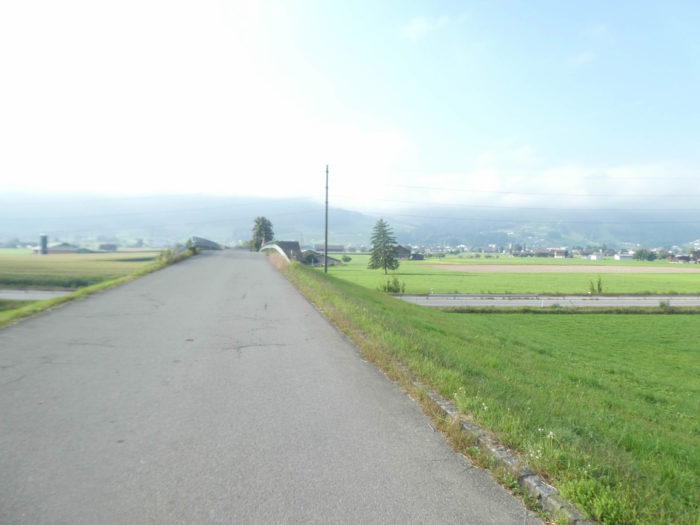
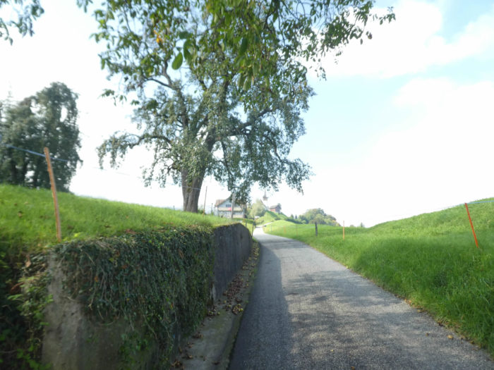
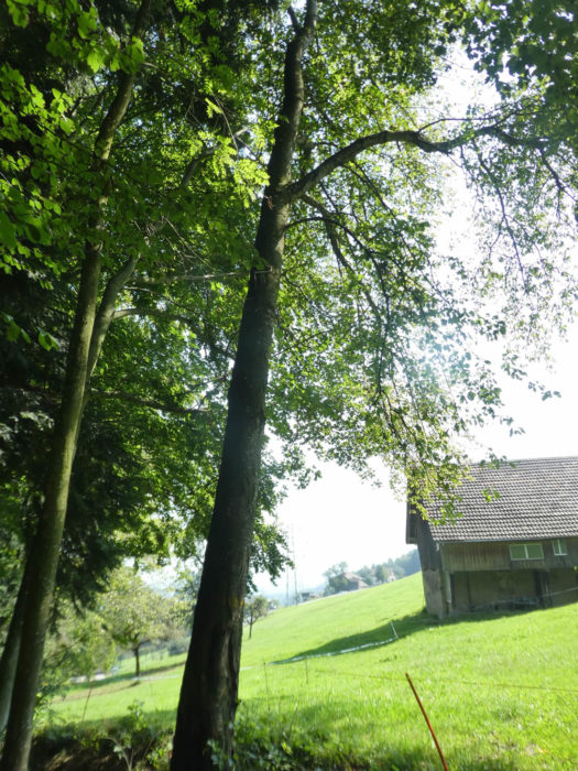
| And thus, a narrow trail winds along the road, through fields and beech forests. |
 |
 |
Section 2: A small bump, just to warm up.
Overview of the route’s challenges: flat at first, then a climb without much trouble.

| Shortly after, like a solitary traveler in search of authenticity, the Via Jacobi veers off the beaten paths to ascend with a gentle slope towards a dense grove of deciduous trees, where majestic oaks reign supreme. Once, this entire region was submerged under the waters of a vast marsh, the memory of which has faded over time, carried away by the meanders of the channelized Linth. |
 |
 |
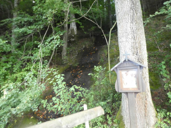
| In the canton of Schwyz, a bastion of immutable Catholic tradition despite the winds of the Reformation, the path winds peacefully through the foliage, contemplating the Stations of the Cross that punctuates the landscape. |
 |
 |
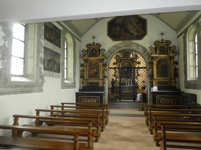
| It then crosses the threshold of the Linthbord Holy Trinity Chapel, erected at the end of the sixteenth century, within a green setting, bearing witness to a bygone era when miracles seemed inscribed in stone. This Gothic marvel, originally dedicated to the memory of Anneli, who regained the gift of walking through heavenly grace, has recently undergone a restorative restoration over the past century. A clear spring gushes forth at its feet, offering its salvific water to thirsty travelers. |
 |
 |
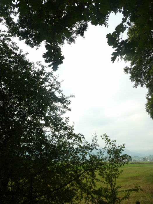
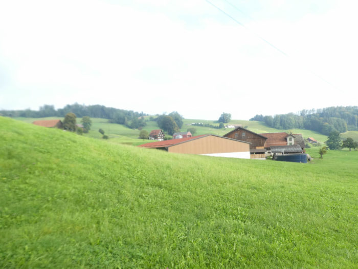
| Further on, a broad path unfolds towards the rural outskirts of Tuggen, where agricultural activity sets the rhythm of life for the inhabitants. |
 |
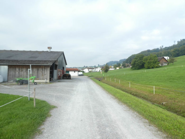 |
| After traversing modest industrial areas, the Via Jacobi plunges into the bustling heart of the small town, home to some 3,500 souls. These peaceful towns, nestled on the outskirts of highways, harbor a population of commuters, enamored with the rural calm, while maintaining close ties with bustling metropolises such as Zurich and St. Gallen. Brand-new developments punctuate the landscape, evidence of the demographic boom that is transforming these once sleepy regions. |
 |
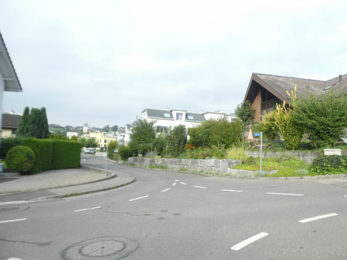 |
| The attentive observer will not fail to notice, around the corners of the streets, the symbiosis between old houses steeped in history and modern residences with sleek lines. Once, the echoes of the wood and textile industries resonated in this plain, but today, these activities have given way to the modern era, leaving behind vestiges buried under the weight of years. |
 |
 |
| The ascent continues, the road climbing determinedly up the hillsides overlooking the town. |
 |
 |
| At the top of the town, the landscape opens up to an authentic countryside, where ancestral farms stand proudly, filling the air with an intoxicating smell of hay and plowed earth. |
 |
 |
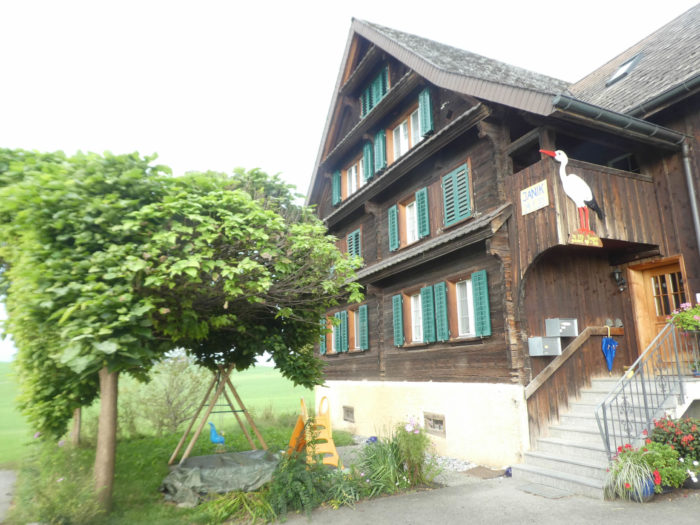
| In this region, farms, less opulent than those in the neighboring canton of St. Gallen recently left behind, sport roofs where shingles have disappeared, while geraniums and other dwarfs seem to have vanished into the mists of the past. Only the carefully arranged woodpiles remain, where each log finds its place in a well-ordered harmony. |
 |
 |
| Further on, the road winds through lush orchards, abandoning crops in favor of wild and preserved nature. |
 |
 |
| In the distance, the elegant silhouettes of traditional farms emerge, yet in this region, the preference seems to lean towards functional sheds, symbols of pragmatic modernity. |
 |
 |
| Even higher, at a place called Röschli, the slope becomes gentler, giving way to a ribbon of asphalt that blends into the verdant landscape of the surrounding pastures. |
 |
 |
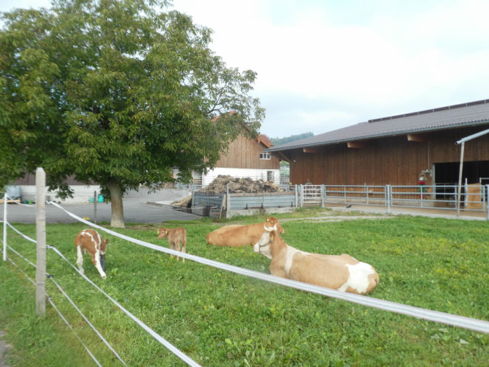
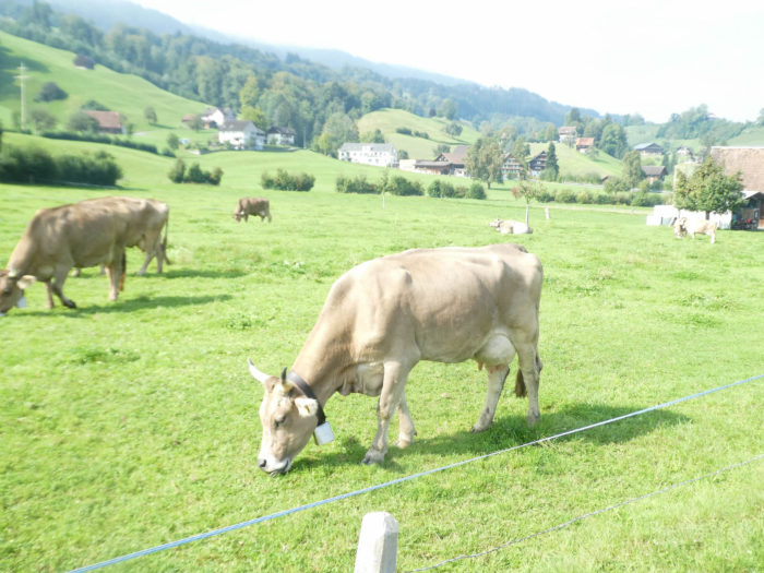
| It is here, at the top of the hill, that vast meadows stretch out where cows graze peacefully, among them the robust BraunVieh, the brown Holsteins, and the imposing Simmental. |
 |
 |
At a place called Schillig, the road begins its descent towards the plain, like a steed returning to the stable after a long ride.
Section 3: A long crossing of the plain towards Siebnen.

Overview of the route’s challenges: a course without any difficulty.

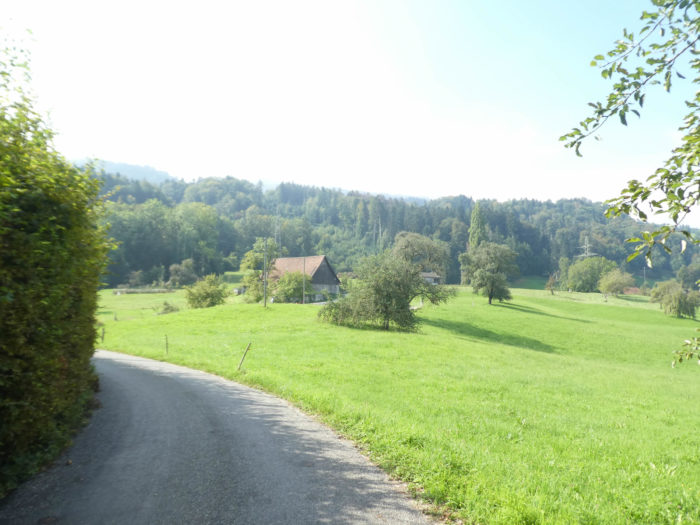
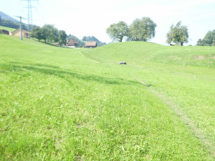
| The road begins its descent towards the green expanses of meadows and farms, where the neighboring small towns of Siebnen and Wangen stretch out into a vast valley. |
 |
 |
| This descent, brief yet picturesque, sometimes winds among fruit trees gracefully accompanying majestic deciduous trees and ancient walnut trees, thus adding a bucolic touch to the environment. |
 |
 |
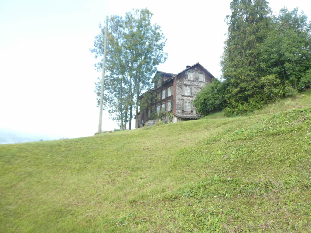
On the hill, an old mansion stands, its shingles weathered by time, almost frozen in an ambiguous eternity where the boundary between past and present fades. Is it still inhabited, or is it merely a silent witness to another bygone era?
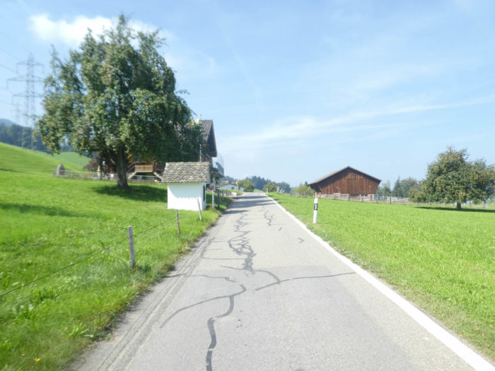
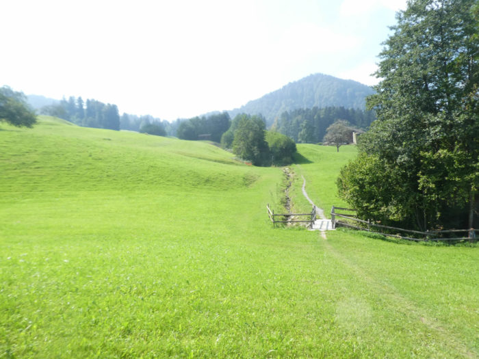
| At the junction of the descent, the Via Jacobi seamlessly merges into a modest regional road. Although traffic is sporadic, walking along this route still demands perseverance. In this region dominated by farmers, peaceful herds, and fertile apple orchards, every step feels like a plunge into authentic rural life. |
 |
 |
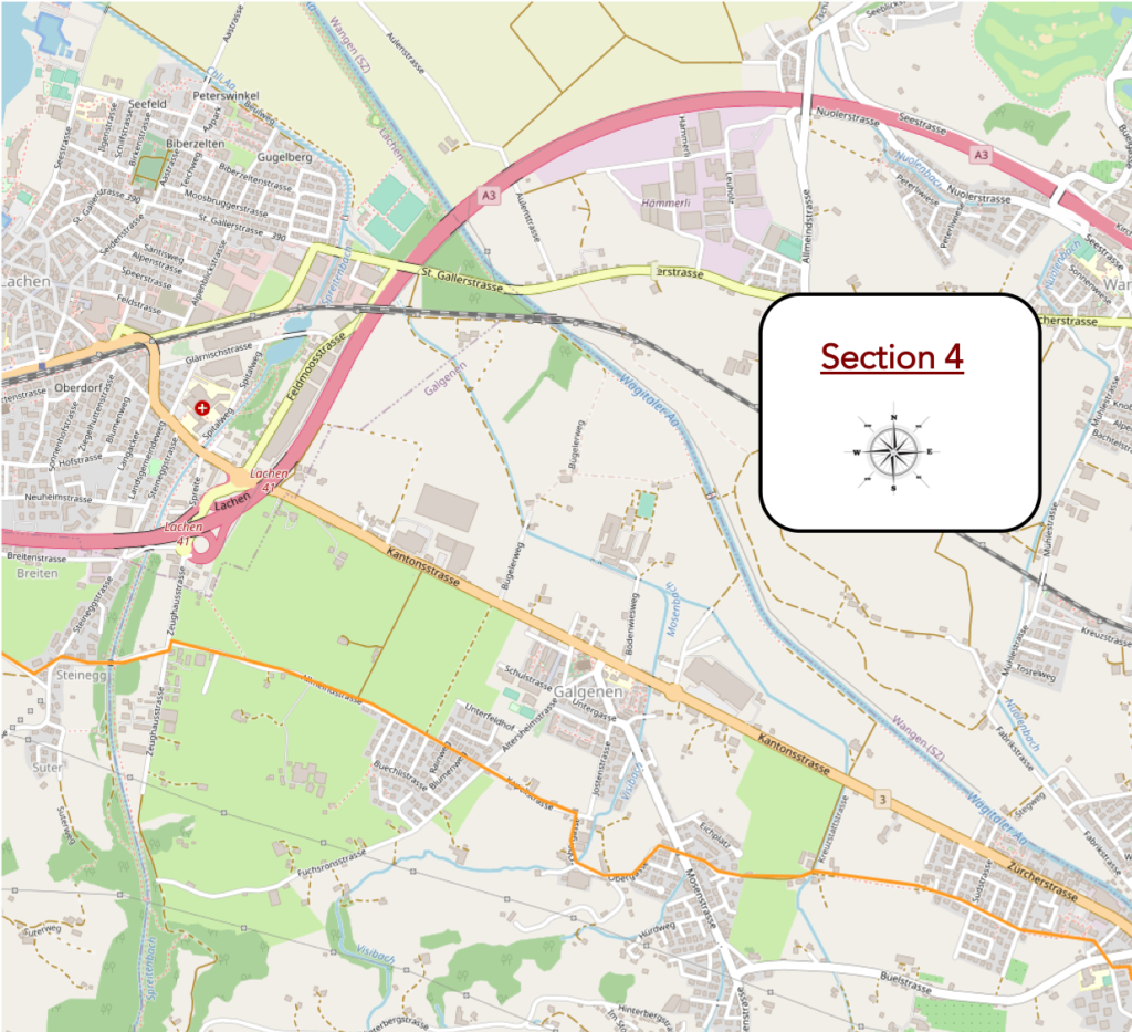
| At the crossroads of Wissenstein, the Via Jacobi deviates from its course towards Wangen to head towards the highway leading to Siebnen. |
 |
 |
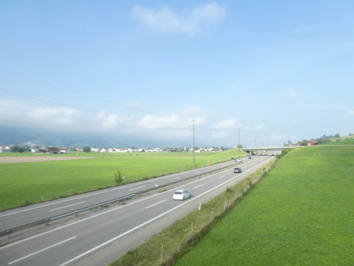
| The small road stretching through the countryside then crosses the imposing obstacle of the A3 highway, the main artery connecting Zurich to Chur, majestically traversing the canton of Schwyz. |
 |
 |
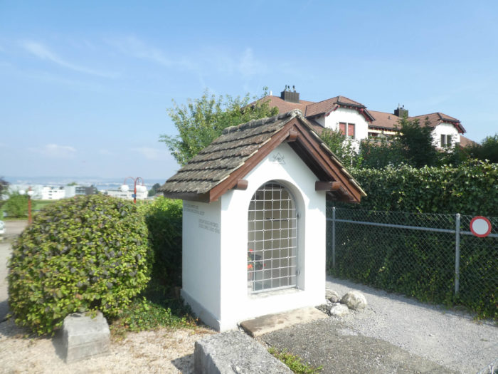
| Nearby, in almost shy discretion, stands the Loreto Chapel, its colorful roof subtly contrasting with the surrounding landscape. Its door, undoubtedly, remains rarely open, jealously guarding its mysteries. |
 |
 |
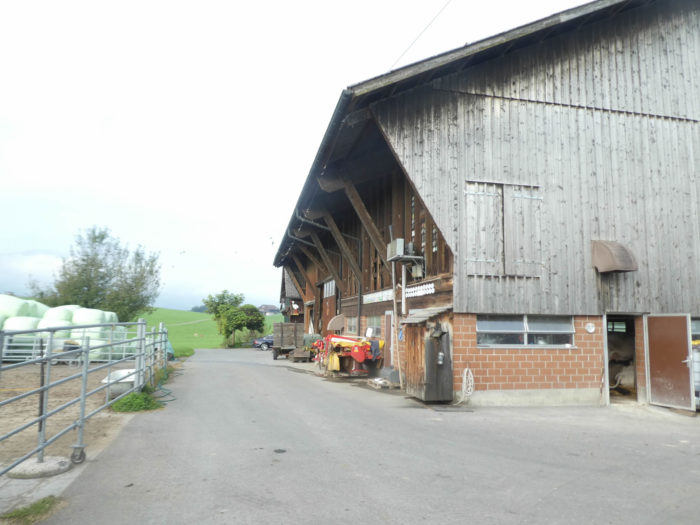
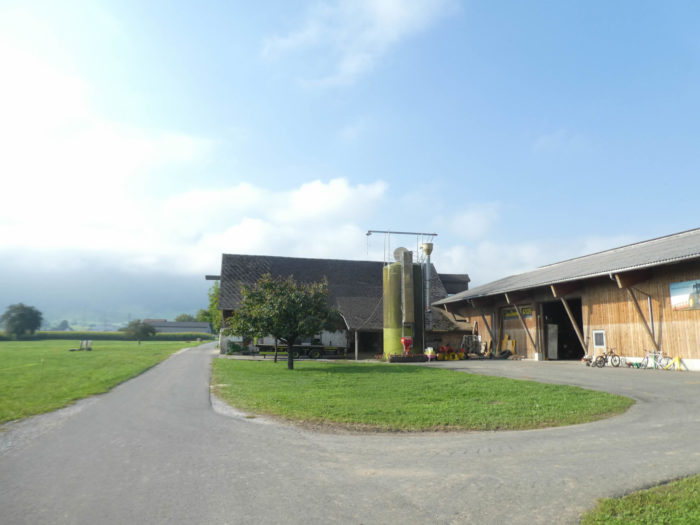
| Along this endless straight line, imposing farms stretch out, impressive in size in these lands. For the first time, corn timidly reveals itself, bearing witness to the agricultural diversity of the region. However, even here, despite the abundance of pastures, winter demands additional provisions for livestock, a reality farmers must face. |
 |
 |
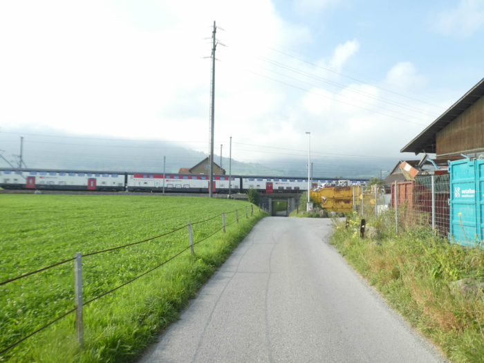
| At the end of this straight line, the small road slips under the railway tracks, offering a humble yet indispensable passage. |
 |
 |
| The journey then takes a turn, now accompanying the rails to the Siebnen train station, where the Via Jacobi finally seems to temporarily find its rural end. |
 |
 |
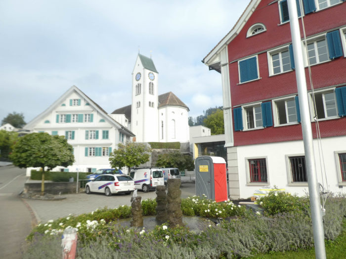
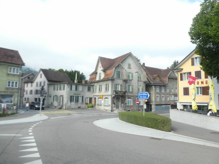
| From the station, the Via Jacobi begins its progression towards the heart of this peaceful town. Siebnen, with its 5,200 inhabitants, is not an autonomous municipal entity but lies on the edge of the three neighboring towns of Schübelbach, Galgenen, and Wangen, which are smaller in size. Boundaries intersect in the heart of the city, adding a unique complexity to its administrative management. |
 |
 |
| It is even possible here to acquire bells, a detail that is hardly surprising in Swiss-German territory but might astonish in the bustling streets of Zurich. |
 |
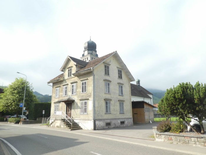 |
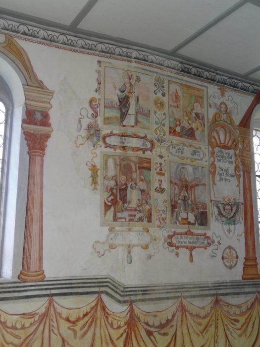
| Around the corner of the main street, the Nikolaus Chapel reveals itself, a true hidden gem near the parish church. While the exterior of this chapel is impressive, it is inside where all its splendor and richness are revealed, with its carved altar and mural frescoes depicting the life of Saint Nicholas of Myra. The oldest parts of the building date back to the 13th century, thus bearing witness to the enduring faith in these lands |
 |
 |
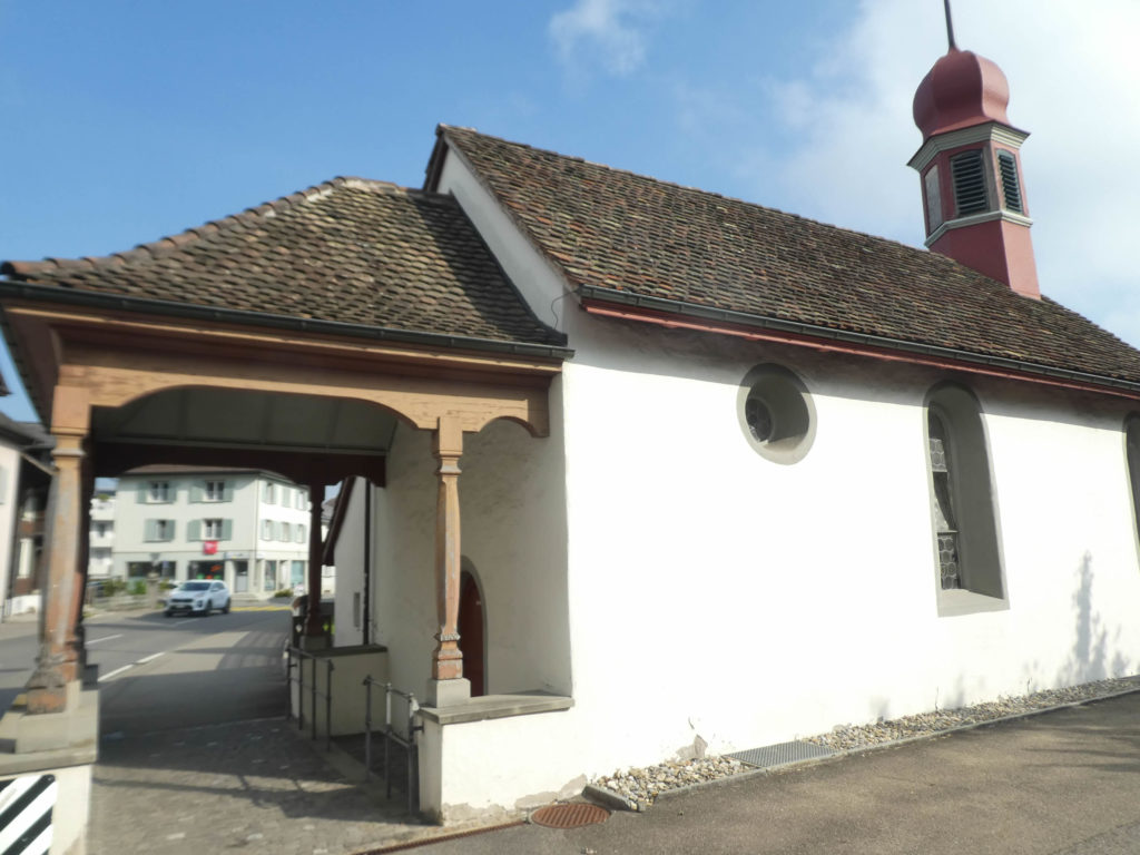
Once, when the Saint Nicholas Chapel marked the lives of the faithful with its sporadic services, parishioners had to undertake long journeys to the respective churches of Schübelbach, Galgenen, and Wangen, a challenging task especially for the young and the elderly, particularly in the winter season. It wasn’t until 1925, with the population and activities increasing, that Siebnen finally acquired its own church, the Church of the Sacred Heart, a testament to the growth and evolution of the municipality.
| At its center, the town is crossed by the Wägitaleraa, the river opening the doors to the picturesque Wägital valley, popular among tourists in search of authenticity. Once a source of many troubles, the river has since been channeled, but the Via Jacobi chooses to bypass this valley, leaving travelers the choice to explore it or not. |
 |
 |
Section 4: From one small town to another.
Overview of the route’s challenges: a course without any difficulty.

| The Via Jacobi moves away from the narrow streets of the locality towards contemporary developments. At this point, a charming organic shop delights walkers thirsty for authenticity and local products. |
 |
 |
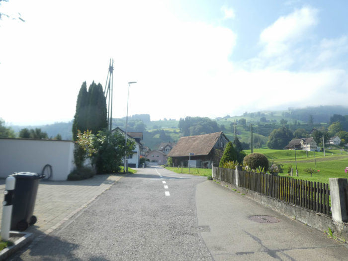
| However, can we really speak of village exits in this region? The agglomerations seem to merge into one another, succeeding without respite. |
 |
 |
| Yet, a fine strip of grass sometimes persists between Siebnen and Galgenen, while the majestic farms gradually fade from the landscape. Are they destined to disappear one day from the lands of the canton of Schwyz? |
 |
 |
| The road then makes its way through densely populated territory, blending old rustic buildings with modern developments. |
 |
 |
But does the reputation of a rustic and remote canton still persist? For here, in these lands, a diversity of peoples and cultures intertwine, working and living side by side.
Galgenen then stands on the road, with its 5,200 souls and its bourgeois expanse. But the Via Jacobi prefers to follow the winding course of the Fisibach river, forsaking the heart of the city.
| The habitat here adorns itself with a strange blend, where centuries-old farms, old mansions, and new developments coexist in a singular harmony. But what is surprising is the proximity, the integration of modern constructions within the very ancient heritage, a rare characteristic, especially in French-speaking Switzerland. |
 |
 |
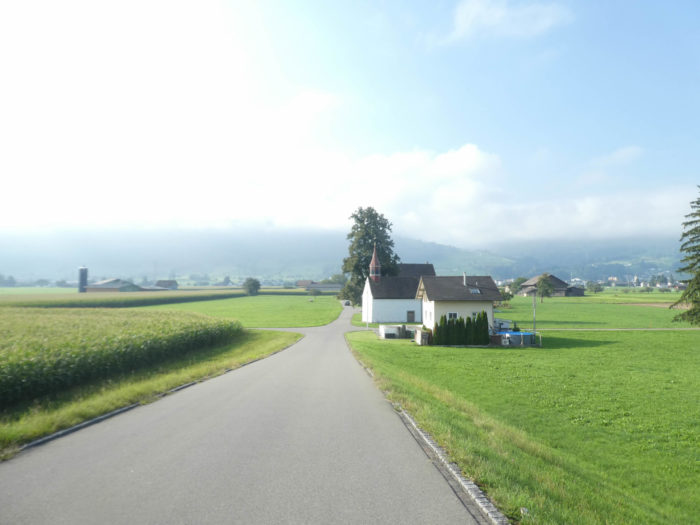
Further on, the road runs by the Saint-Jost chapel, built at the end of the 16th century and remodeled during the following century. The Gothic frescoes adorning its walls eloquently narrate the episodes of the life of Saint Nicolas de Flüe. As many chapels punctuate the canton of Schwyz as that of St. Gallen.
| At the exit of Galgenen, the road stretches again through more open countryside. |
 |
 |
Here, pear and apple orchards extend under vast protective nets.
| Further on, the landscape becomes more eclectic, also welcoming some modest industrial installations. |
 |
 |
| The road then crosses the Spreitenbach, a more imposing river leaping over the stones, while the journey remains entangled in urbanized areas. |
 |
 |
Section 5: A long climb to the Etzel Pass.
Overview of the route’s challenges: Vacation time is over. Things are about to get very serious uphill.

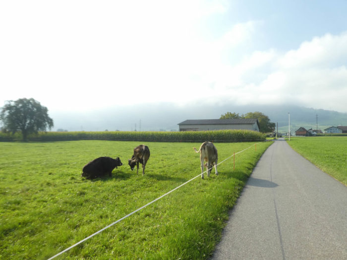
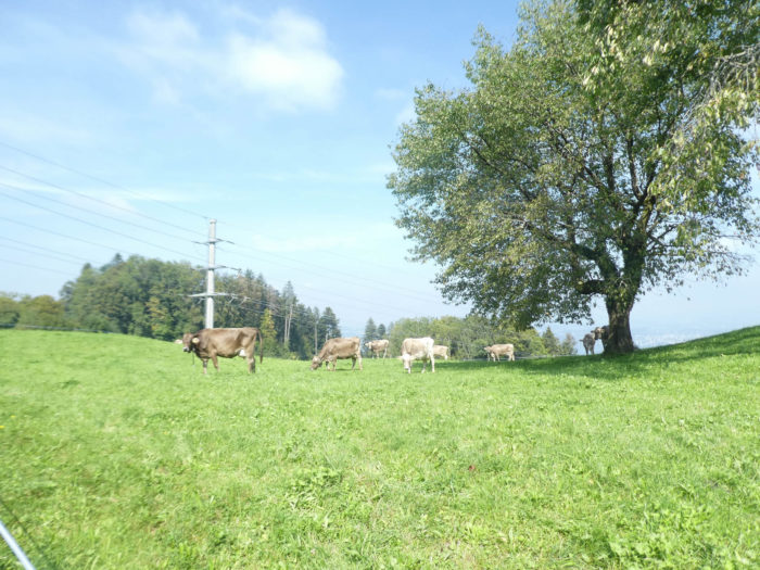
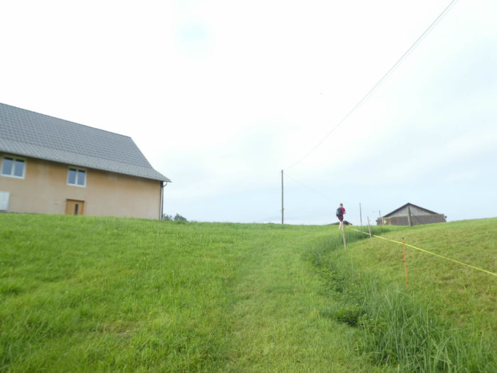
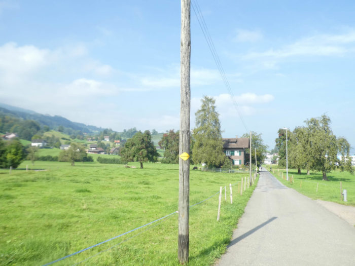
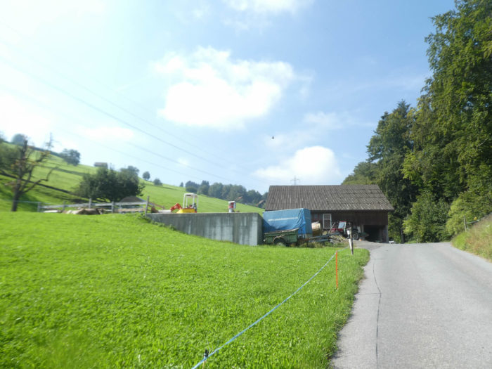
| The road gracefully winds through vast rural expanses, where some BraunVieh cows peacefully chew on tender grass under the generous sky. Proudly standing before you, the imposing silhouette of St. Johannesburg Hill announces the imminent passage of the route over the hill. |
 |
 |
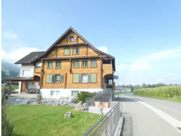
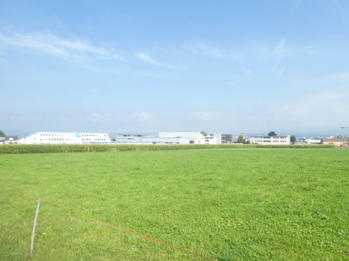
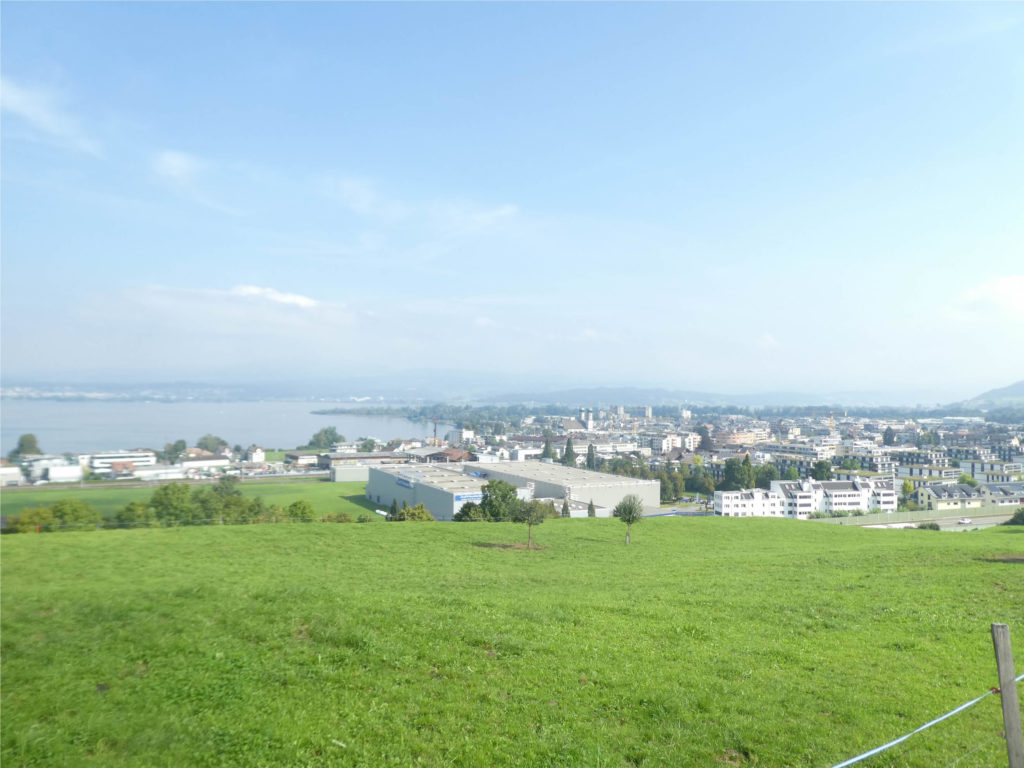
| What a striking contrast between the old and the new Schwyz! In the vast basin of Lachen and Altendorf, where nearly 15,000 souls animate the lakeside and along the highway, industries thrive, flourishing like oases in this desert of modernity. |
 |
 |
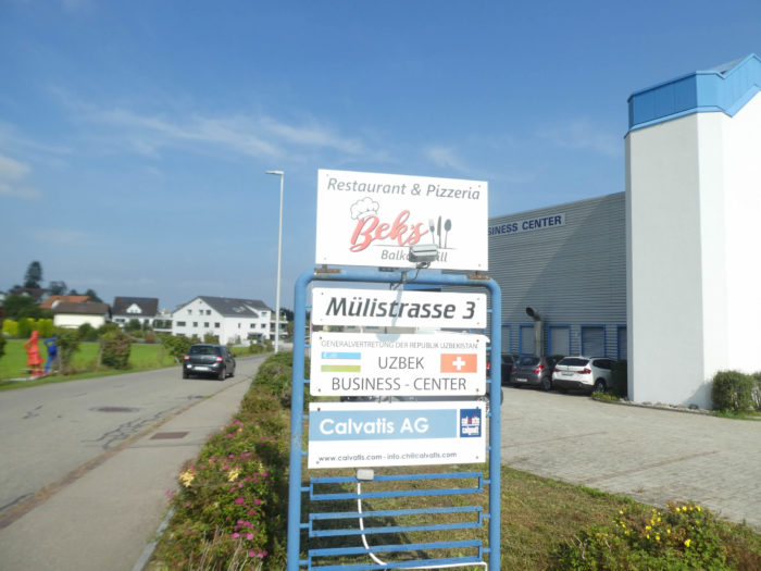
| The road then heads towards the grand Uzbek Business Center, at the gates of Altendorf. The proudly displayed Swiss national emblem on the sign unequivocally indicates that the Uzbeks have not subdued these lands. A sigh of relief escapes, like a gentle breeze caressing Swiss spirits. |
 |
 |
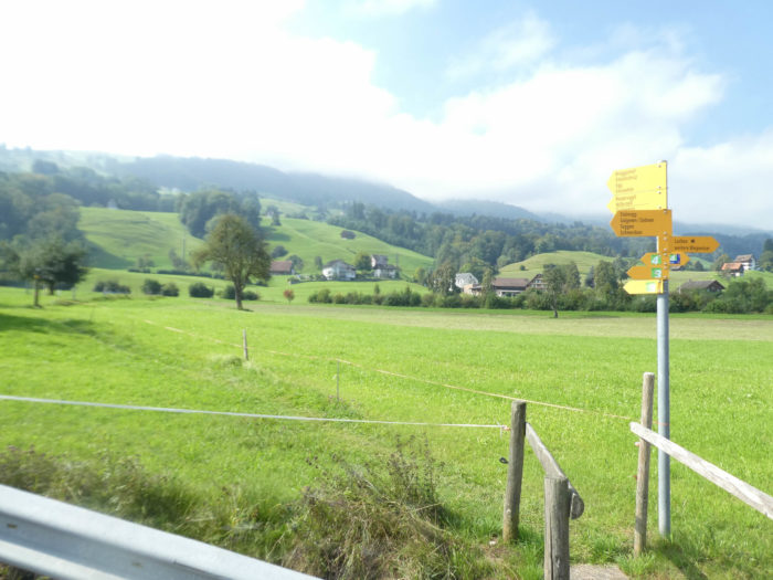
| Here, a dilemma presents itself. One can choose to join Einsiedeln by taking the Via Jacobi 3, a route often more challenging but also more picturesque, thus extending the journey by a few extra kilometers through the mountains. However, all pilgrims opt for the Via Jacobi 4, knowing that soon, even for them, the ascent will be felt. |
 |
 |
| A bit further, the road reaches Rorwis, near the highway and the lake, crossing the peaceful Chälenbach stream. |
 |
 |
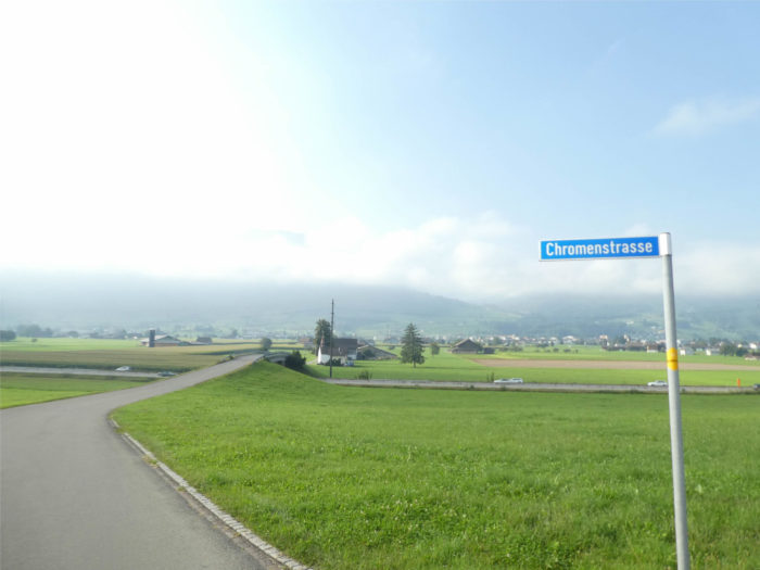
| The route has wandered for nearly 16 kilometers so far, except near Tuggen. A final turn in the plain, and already the mountain rigor asserts its dominance. |
 |
 |
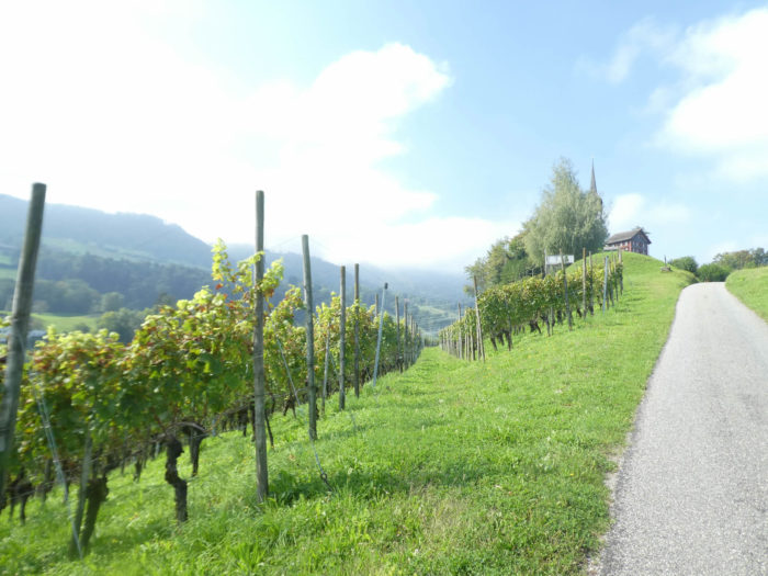
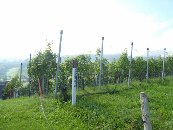
| The ascent proves steep to reach St. Johann Hill. It must be admitted that it is the first time we have the opportunity to catch sight of vineyards in the canton of Schwyz. |
 |
 |
| Truly remarkable is the sight of St. Johann Chapel, erected in the 15th century, majestically standing on the hill, like a silent guardian of times past. |
 |
 |
From the summit of the hill, some pilgrims may regret not deviating slightly from their path to visit the famous Lindt chocolate factory in the plain, a flagship of Swiss industry.
| A restaurant nearby often attracts the hungry, besieged by travelers in search of rest and comfort. |
 |
 |
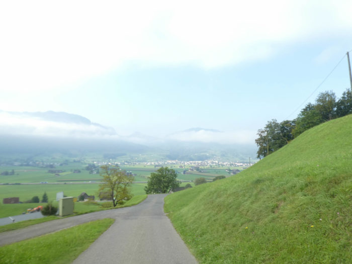
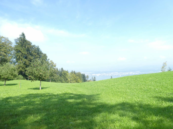
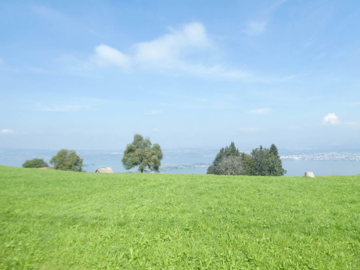
It must be said that the view of Lake Zurich from this spot is simply remarkable. From both shores, that of Schwyz and St. Gallen, emerges the splendor of the landscapes, while Rapperswil appears in the distance, like a mirage.

| The small road then wanders for a moment in the meadows before reaching the place called Schlipf. Here, a network of small roads, some dead ends, weaves its way through the mountains, connecting the lake to the mountain pastures. The presence of scattered chalets is barely discernible. Second homes? Probably not, the imprint of the farmers still seems indelible. |
 |
 |
| Further on, the Via Jacobi lingers on the road before veering off into the fresh grass. |
 |
 |
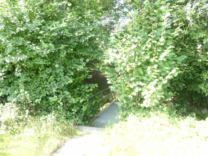
| The path then crosses the Chessibach stream, whose gentle cascades murmur through the moss-covered rocks and small maples. |
 |
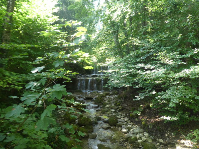 |
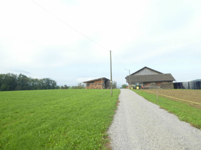
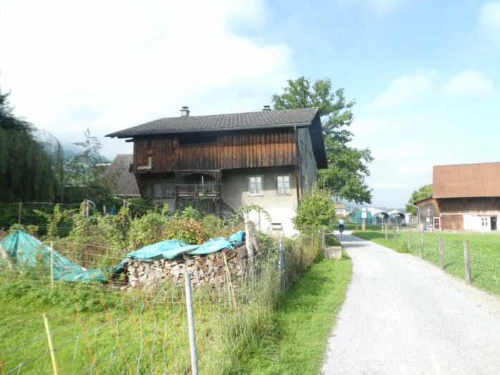
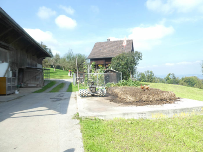
As you climb, the path delves into the deciduous forest. Primarily beech trees, carefully stacked as firewood, bear witness to meticulous organization. At times, one could believe that this wood is there solely for visual pleasure, so decorative it seems, sometimes spared from domestic use.
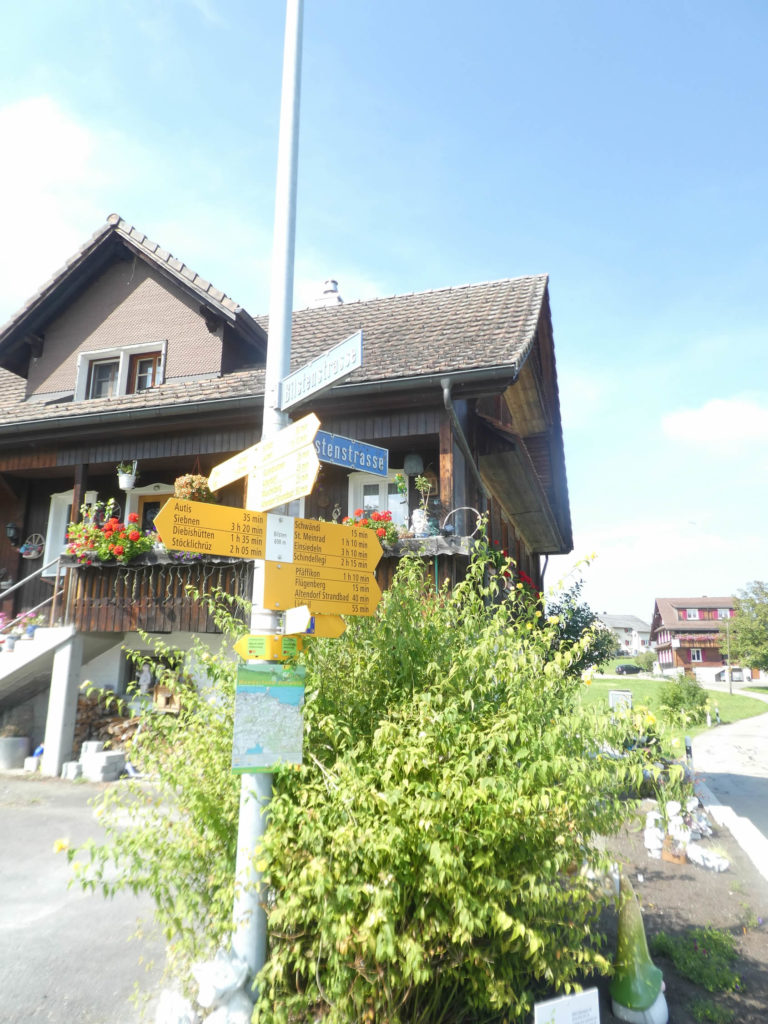
Higher up, the Via Jacobi joins the Blistenstrasse, a narrow road winding from the plain to a mountain restaurant, frequented by hikers and locals, particularly numerous on these slopes. Today, apple trees are in the spotlight.
| At this point, four-legged companions are taken care of. |
 |
 |
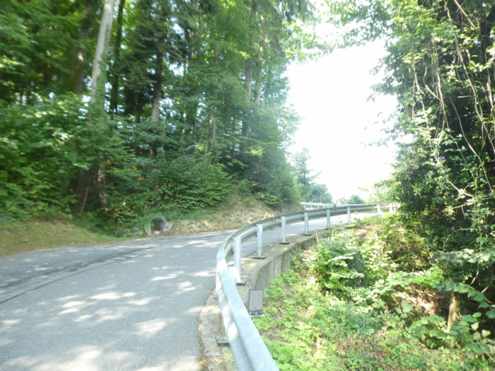
| The road here takes a few turns as the slope becomes steeper again. |
 |
 |
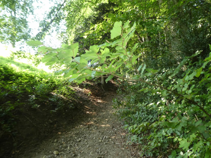
| Higher up, the Via Jacobi leaves the road in favor of a shortcut through the woods. |
 |
 |
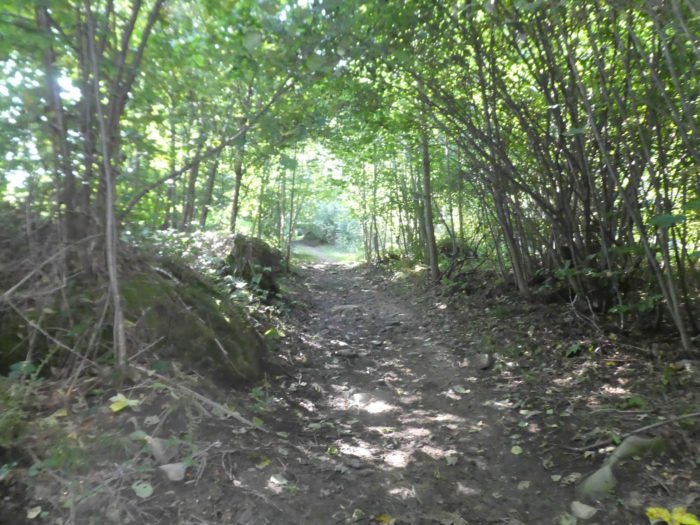
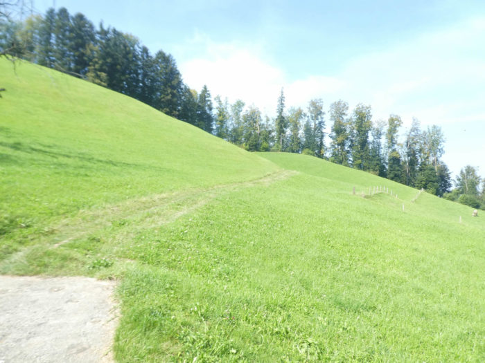
| The ascent then becomes particularly steep in the meadows, among oaks, beeches, maples, and hornbeam shoots. |
 |
 |
| The path then follows the twists and turns of the Summerholzbach stream, rushing down the slope with wild impetuosity. Fortunately, signposts ensure that no one gets lost in this exuberant nature. |
 |
 |
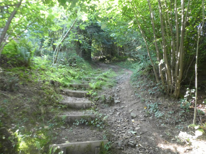
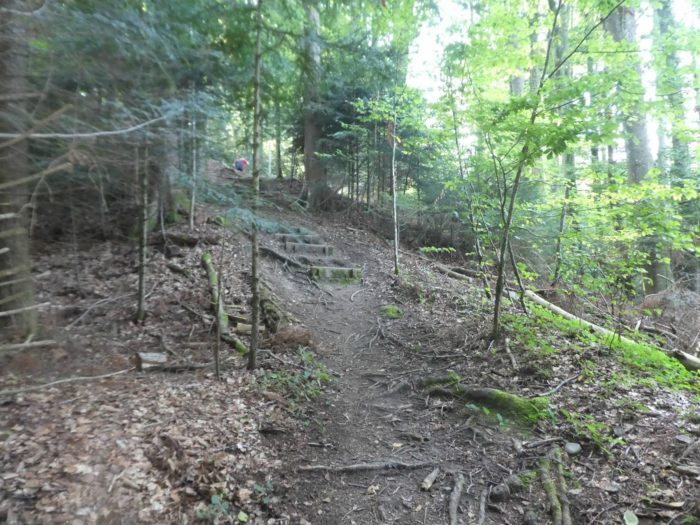
| The slope becomes increasingly steep on the dark soil and beech debris. Stairs, securely anchored to the rock face, prove to be of precious help |
 |
 |
| Soon, the slope exceeds 20% as the dark path rejoins the Blistenstrasse from above. |
 |
 |
| Crossing the main stream of the Summerholzbach stream, the road leads to a sort of small plateau overlooking the lake. |
 |
 |
| Shortly after, the road arrives at Blisten, at an altitude of 692 meters. Here, you are 1 hour 15 minutes from the Etzel Pass and over 3 hours from Einsideln. |
 |
 |
Section 6: Up there is the Etzel Pass.

Overview of the route’s challenges: beautiful slopes ahead.

| At Blisten, there stands, like a mirage in the desert, an establishment whose activity proves mysterious. Carefully, anyone considering lingering there should inquire beforehand about its opening hours. |
 |
 |
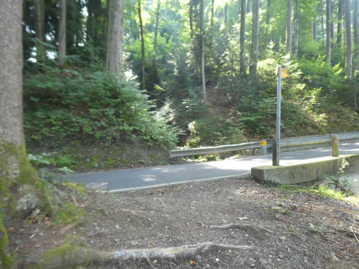
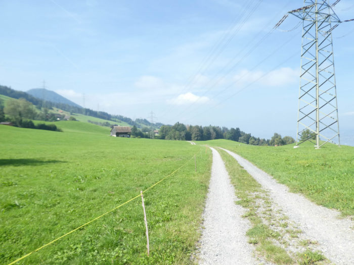
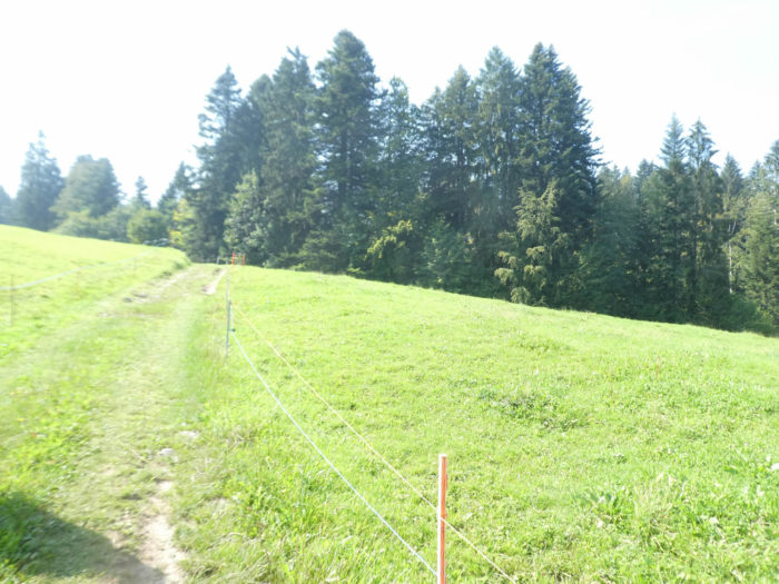
| At this crossroads of civilization, asphalt gives way to a dirt road that gracefully winds through the surrounding meadows. |
 |
 |
| Below, stretches majestically the azure mirror of the lake, reflecting the sky in all its splendor. Further on, the trail meanders through the grass, encountering the thin stream of Lüsibach, a humble water vein. In the mountains, these small streams abound like a vitalizing network of veins in the earth. |
 |
 |
| The path then gracefully intertwines amidst peaceful farms and nonchalant livestock. |
 |
 |
| Shortly after, the grassy trail merges into a small road emerging from the plains. Here you are at Schwändi, perched at 694 meters above sea level, just 50 minutes from the Etzel Pass, which rises to 928 meters above sea level. |
 |
 |
| The transition from asphalt to gravel is quickly felt as the slope steepens through the rolling meadows. From this moment on, the Via Jacobi firmly engages in an ascent on the Pilgrim’s Path, the Pilgerweg. |
 |
 |
| Higher up, the road ends in a dead end and the Via Jacobi continues into the woods on the grass. |
 |
 |
| In this forest interlude, the first spruces stand proudly amidst a sea of deciduous trees. |
 |
 |
| At a higher altitude, the path emerges from the canopy to pass through Oberschwändi, where apple trees persist in growing, defying altitudes at 768 meters. You have climbed less than 100 meters since Schwändi. |
 |
 |
| The path then crosses vast clearings, resembling alpine meadows surrounded by conifers. |
 |
 |
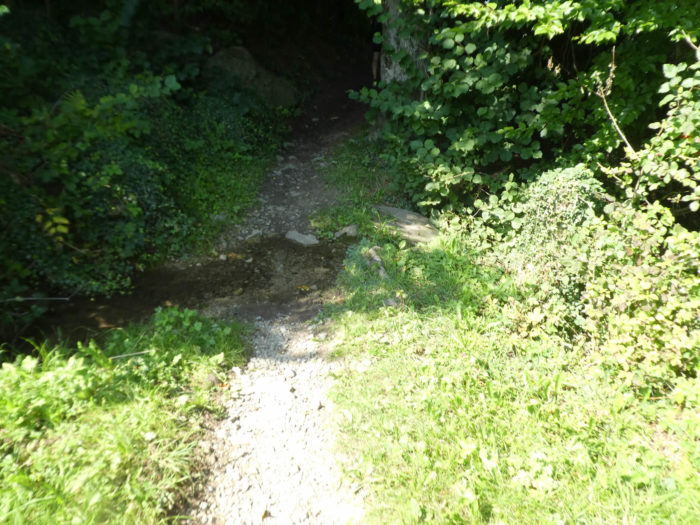
| Approaching the woods, it crosses the tumultuous Giessenbach stream, one of the most imposing watercourses in the mountain. |
 |
 |
A few steps from here, the two routes converge. Studying the detailed maps of the Via Jacobi, one discovers that the path from Rapperswil is designated as Via Jacobi 84. However, it is the main route of the Way of St. James, that of Siebnen, Via Jacobi 4, which deserves all your attention, although most pilgrims venture through Rapperswil.
| The ascent to the pass proves challenging but exhilarating, offering at every turn a panorama of wild beauty, oscillating between sun-drenched clearings and forest edges, where majestic beeches, towering spruces, and silver firs mingle. |
 |
 |
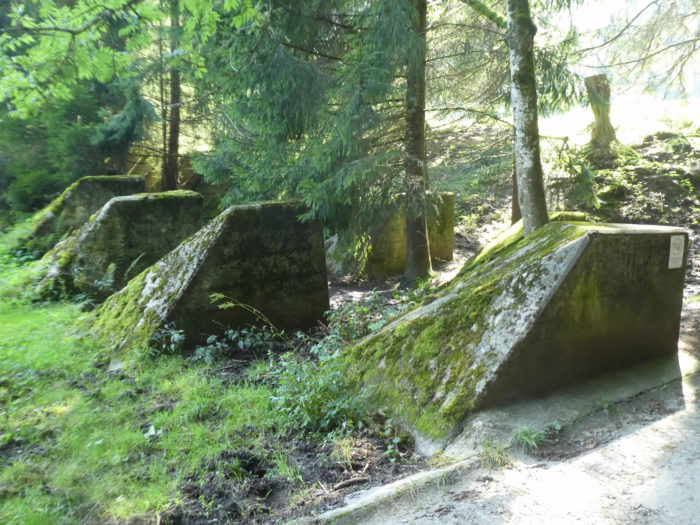
Approaching the pass, remnants of war, in the form of anti-tank defenses, line the path. In Switzerland, these barricades are familiarly referred to as “toblerones,” in reference to the chocolates of the same name, although one wonders about the enemy who could have threatened these summits with combat tanks.
| Rejoice, deliverance is at hand, but it is at this moment that the ascent becomes steepest. |
 |
 |
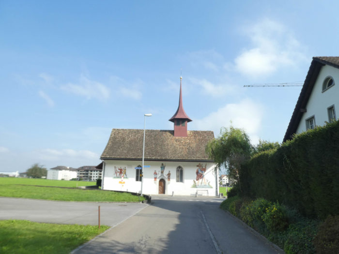
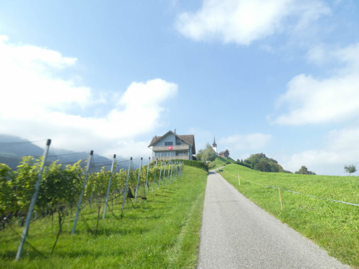
| Soon, around the bend of the trail, appears majestically St. Meinrad, perched on the heights of the Etzel Pass. |
 |
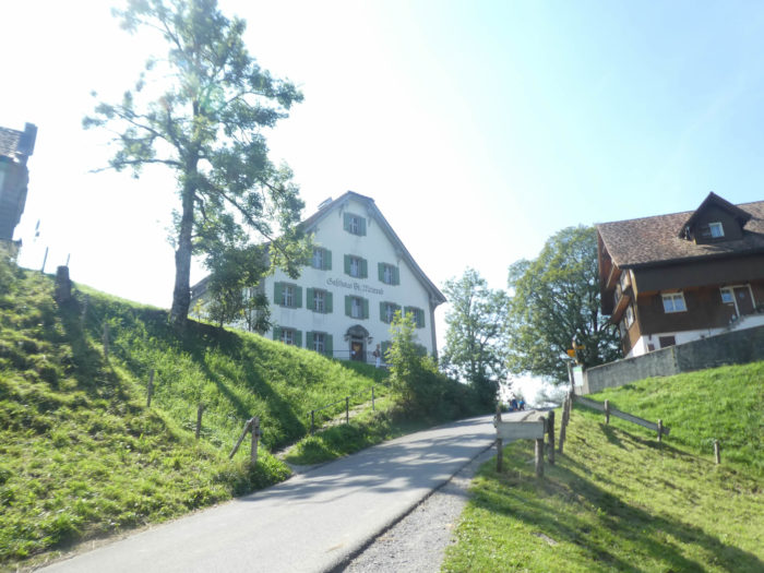 |
Beyond St Meinrad, follow stage 4a to Ensiedeln.
Feel free to add comments. This is often how you move up the Google hierarchy, and how more pilgrims will have access to the site.
 Next stage: Stage5: From Einsiedeln to Brunnen Next stage: Stage5: From Einsiedeln to Brunnen
 Back to the menu Back to the menu
|