From the canton of Fribourg to the canton of Vaud
DIDIER HEUMANN, ANDREAS PAPASAVVAS
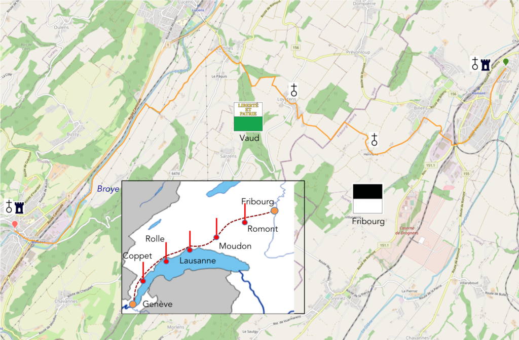
We divided the course into several sections to make it easier to see. For each section, the maps show the course, the slopes found on the course, and the state of the roads. The courses were drawn on the “Wikilocs” platform. Today, it is no longer necessary to walk around with detailed maps in your pocket or bag. If you have a mobile phone or tablet, you can easily follow routes live.
For this stage, here is the link:
https://fr.wikiloc.com/itineraires-randonnee/de-romont-a-moudon-pat-la-via-jacobi-4-67452703
It is obviously not the case for all pilgrims to be comfortable with reading GPS and routes on a laptop, and there are still many places without an Internet connection. Therefore, you can find a book on Amazon that deals with this course. Click on the title of the book to open Amazon.
If you only want to consult lodging of the stage, go directly to the bottom of the page.
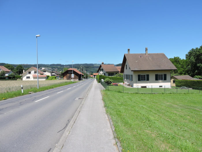
Today, you leave the peaceful lands of the Canton of Fribourg to embrace the different charm of the Canton of Vaud. It’s your first foray into the vast setting of the Swiss Plateau, a discreet territory, almost shy within the nation. Occupying only 30% of the country’s area, it stretches between the relief of the Jura and the imposing peaks of the Alps. However, it proves to be much more than just a flat expanse, as it mainly consists of hills, harmoniously undulating between 400 and 600 meters above sea level. This region, by far the most densely populated in Switzerland, lies at the heart of the Swiss German-speaking area. As for the cities of the Romand Plateau, they are distinguished by their modesty. You are now immersed in the heart of an authentic plateau, where the Broye river gracefully winds, fertilizing the fertile lands that abundantly welcome large-scale crops and market gardening. It is here that more than 85% of Swiss tobacco sprouts, even if its once flourishing fields are gradually fading.
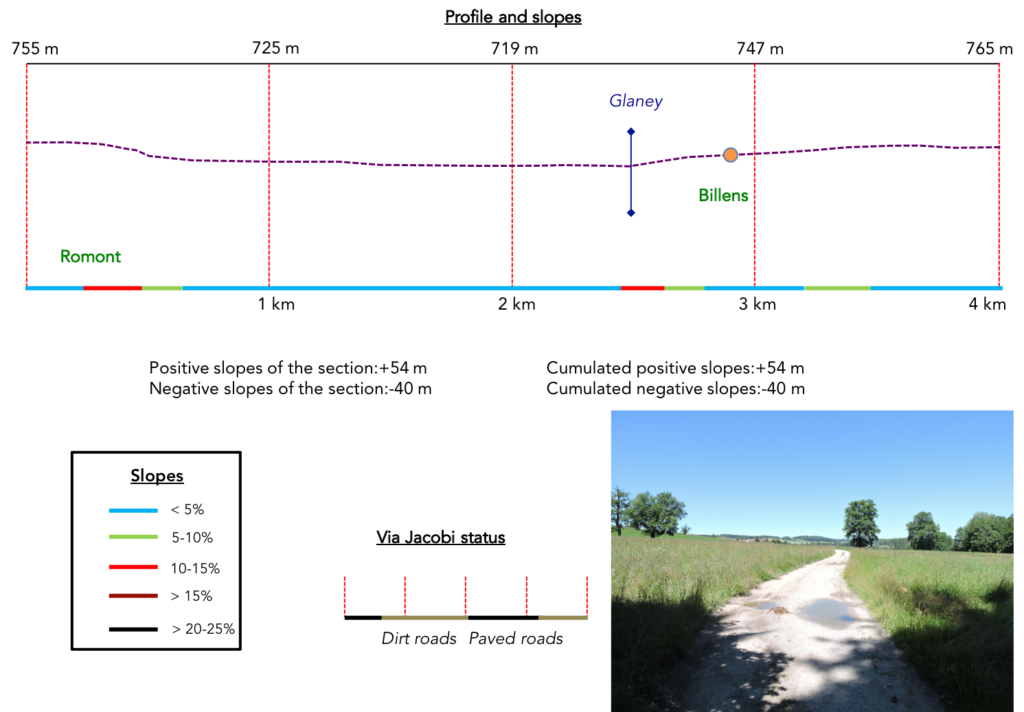
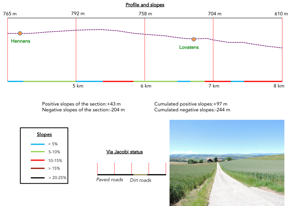
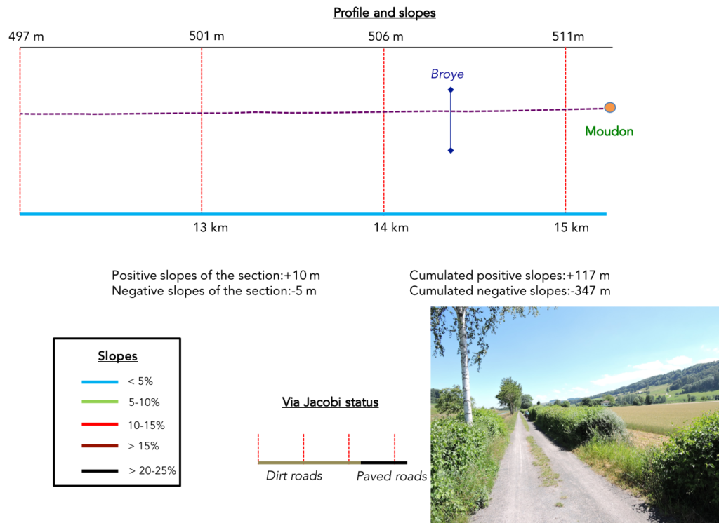
Difficulty level: Today’s altitudes are gentle, punctuated by a modest ascent of 117 meters and a graceful descent of 347 meters towards Curtilles. The rest of the journey promises to be a gentle meandering, a walk along a delightfully short stage.
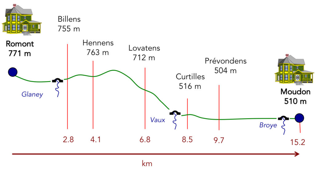
State of the Via Jacobi: The roads and paths present themselves to you in almost perfect equivalence:
- Paved roads:7.4 km
- Dirt roads: 8.8 km
Sometimes, for reasons of logistics or housing possibilities, these stages mix routes operated on different days, having passed several times on Via Podiensis. From then on, the skies, the rain, or the seasons can vary. But, generally this is not the case, and in fact this does not change the description of the course.
It is very difficult to specify with certainty the incline of the slopes, whatever the system you use.
For “real slopes”, reread the mileage manual on the home page.
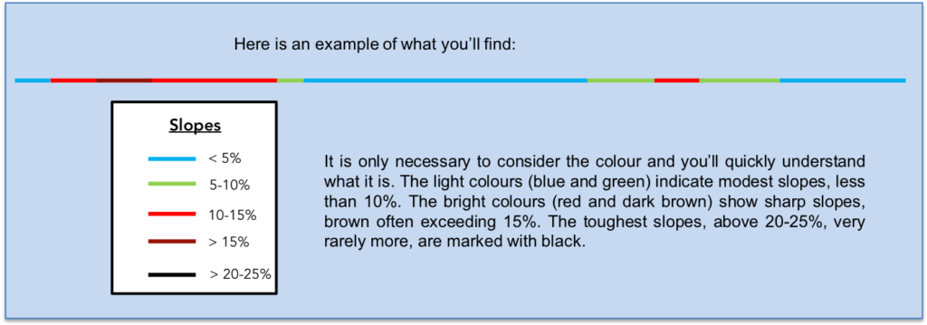
For those seeking “true elevations” and enthusiasts of genuine altimetric challenges, carefully review the information on mileage at the beginning of the guide.
We have divided the route into several sections, to facilitate visibility. For each section, the maps give the route, the slopes found on the route and the state of Via Jacobi.
Section 1: Above Romont.

Overview of the route’s challenges: straightforward route.
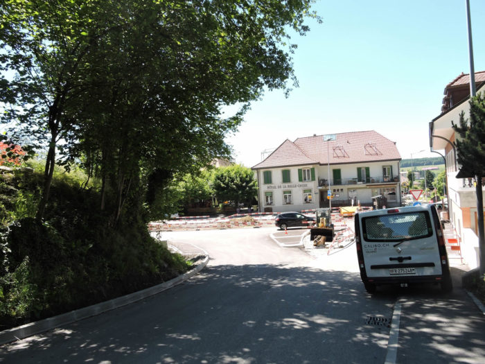
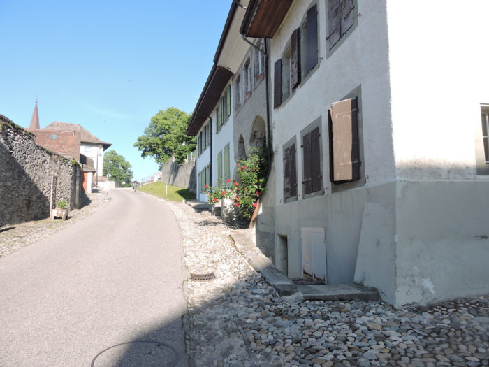
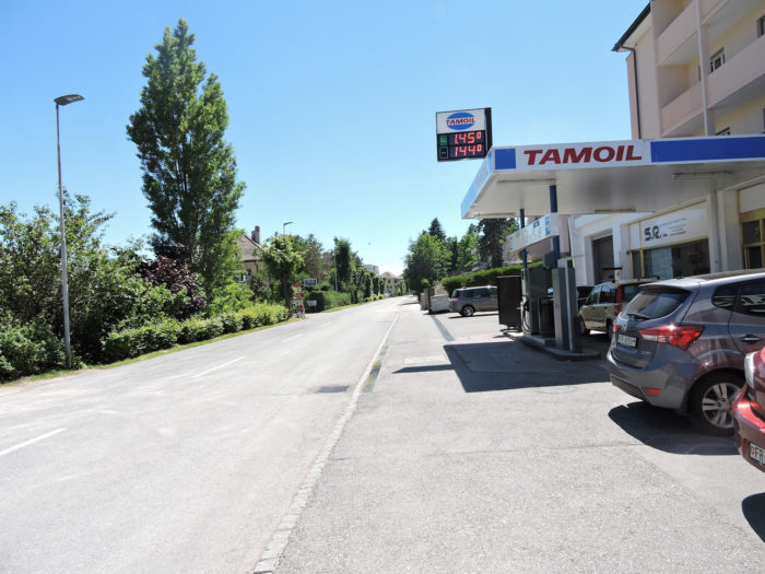
| From Romont, various routes are available to explore the contours of the city. You can descend the Grand Rue, or take the Route de la Belle Croix. Perhaps a more picturesque option is the Via Jacobi 4, which winds through the old town, descending Rue du Château, then Chemin de la Côte, to reach the same crossroad, at the foot of the citadel, where Rue de la Belle Croix ends. |
 |
|
| The descent proves challenging, with narrow streets rising steeply, echoing the city’s millennia-long history. |
 |
 |
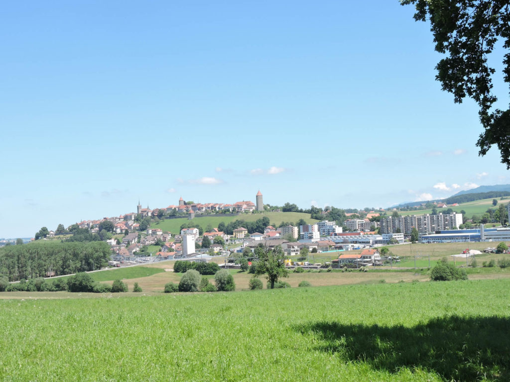
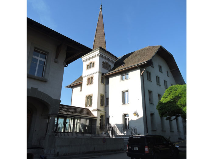
| As you approach the crossroad, the imposing silhouette of the Boyer Tower stands majestically. Built in the 13th century, this miniature fortress was once equipped with a defensive system, turning it into a veritable stone sentinel. In the 19th century, a certain Mr. Boyer, tempted by profit, considered dismantling this jewel for other purposes. Fortunately, the city opposed this plan, thus preserving the integrity of this emblematic tower. The esplanade stretching at its feet offers an enchanted playground for the young ones, like a precious leisure jewel in the heart of history. |
 |
 |
| At the crossroads, Via Jacobi follows on the sidewalk the Rue d’Arrufens, the artery that leaves the city in the plain. |
 |
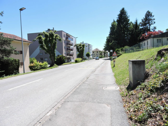 |
| Subsequently, the suburbs unfold with almost mechanical regularity, bordered by constructions that rise toward the sky, challenging the horizon with their imposing stature. Buildings stand like concrete sentinels, witnesses to an era where verticality became the symbol of progress and modernity. |
 |
|
| Further along, the route transforms into a thin strip of asphalt, delineating the territory for pedestrians along the road, while the gaze wanders over the sleek lines of Bicubic, a cultural and sports center celebrating the fusion of art and movement. |
 |
 |
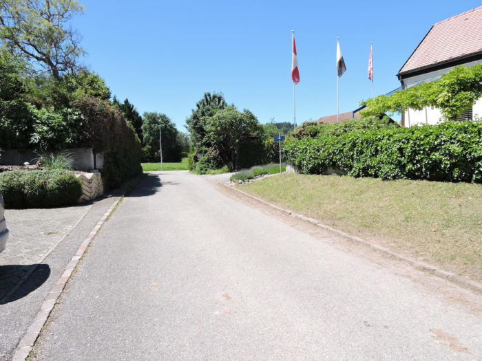
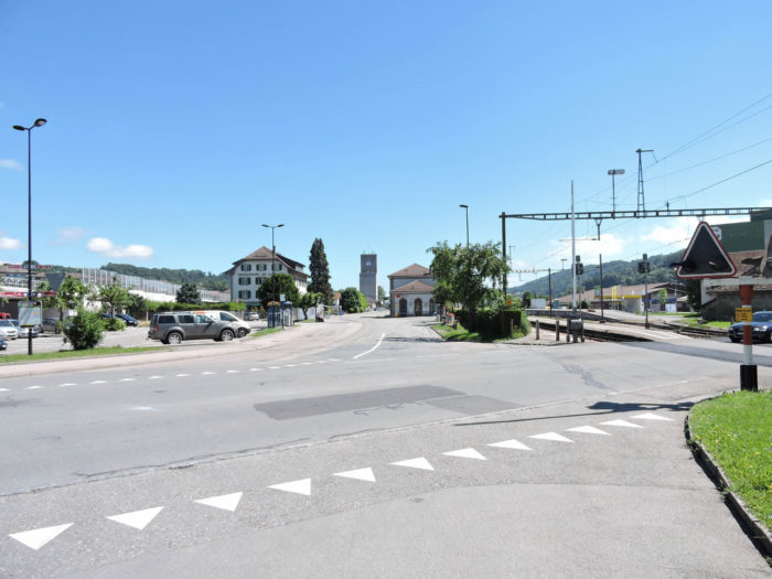
| At the city’s exit, a vast crossroad stands as a guardian of new horizons. |
 |
 |
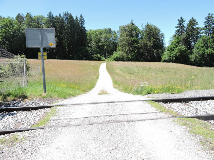
| There, the railway unfolds in front of the TetraPak factory, a symbol of modern industry, a Swedish-origin factory with its headquarters in Switzerland, specializing in packaging. |
 |
 |
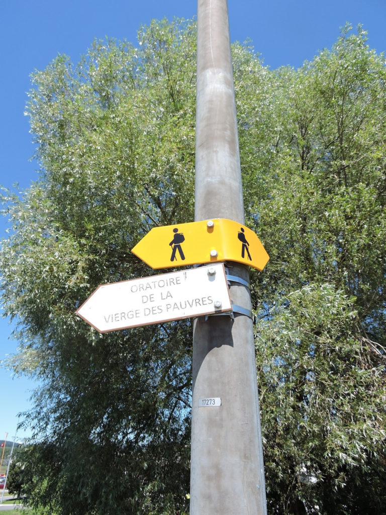
Between the rails and the chimneys, stands the modest Oratory of Our Lady of the Poor, a silent witness to landscape changes.
| A path cuts through the factory, crosses the factory’s tracks, and approaches a small wood. |
 |
 |
| In the small wood flows the Glaney, almost dry, at the feet of the small, extremely kitsch oratory. |
 |
 |
| The Chemin de la Maillarde then opens up, rocky and valiant, following the contours of green meadows populated by centuries-old oaks. |
 |
 |
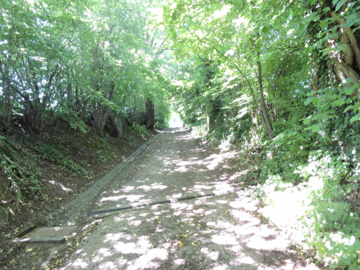
| As the altitude gains in stature, the path nestles under a canopy of foliage, offering a shaded parenthesis to hikers in search of tranquility. |
 |
 |
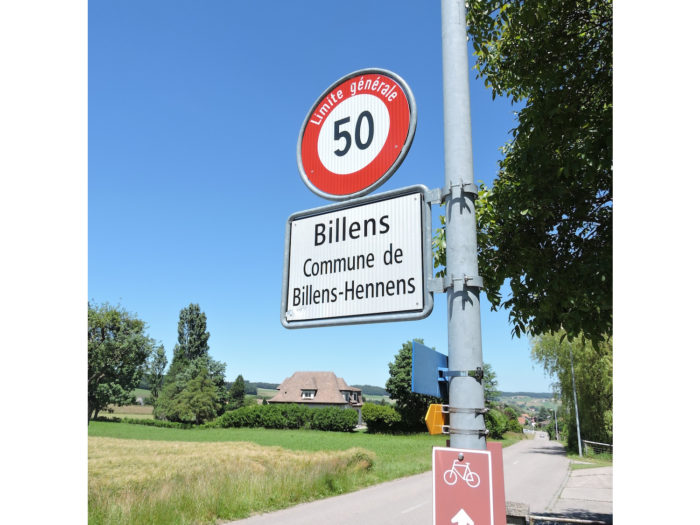
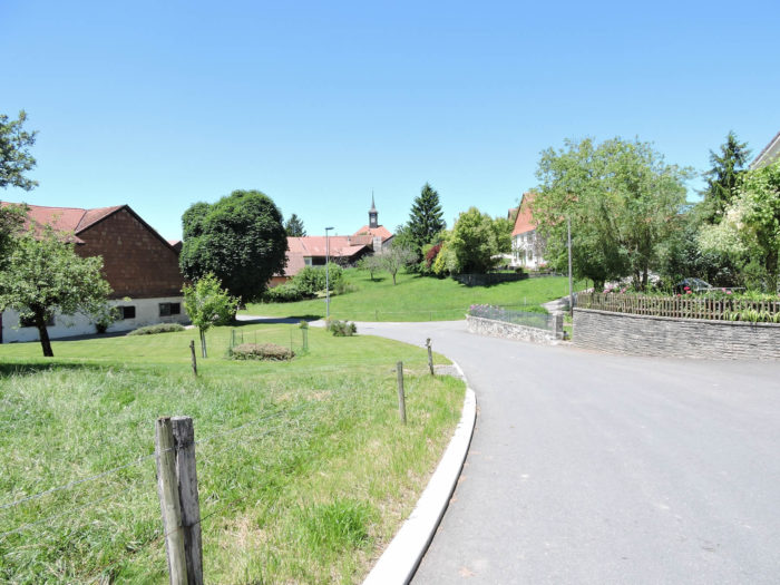
| Soon, the first houses of Billens emerge on the horizon, offering a welcome first stop. |
 |
 |
Looking back reveals the majestic panorama of Romont and its hill, like a precious gift to travelers.
| The Via Jacobi then joins a road leading to Billens. |
 |
 |
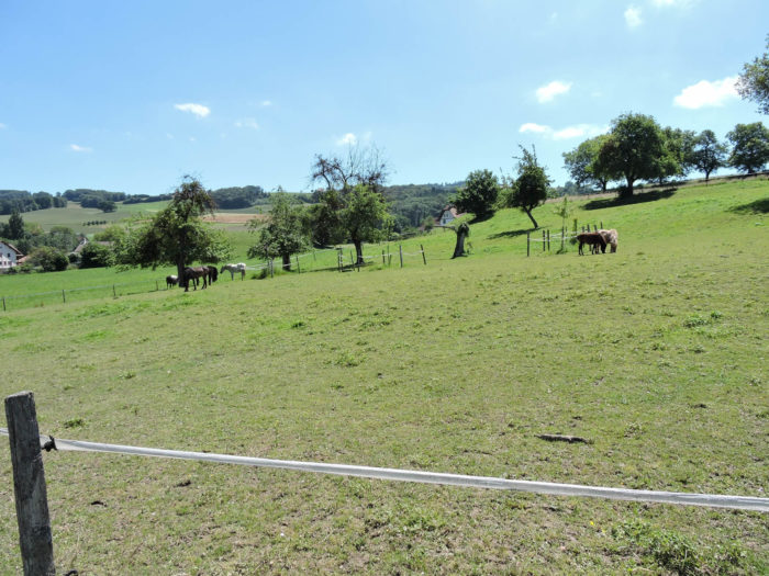
| Here, it’s the open countryside, where horizons stretch, punctuated here and there by gentle green valleys and fields of bright green. It is here that cows graze peacefully, indelible symbols of this rural life where time remains suspended. |
 |
 |
| The road then winds its way through the green countryside, along shaded hedges, more residential areas, until it reaches the threshold of the village of Billens. Yet, true to its vocation, the Via Jacobi does not go there, leaving behind the familiar contours of the regional hospital of Billens. |
 |
 |
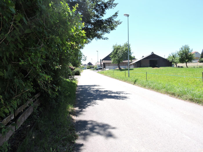
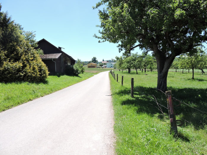
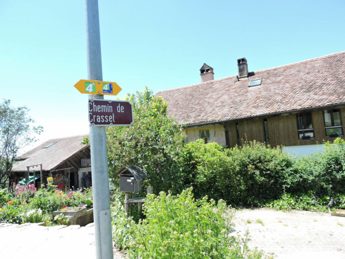
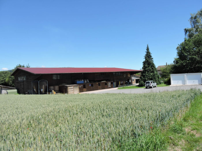
| From Billens to Hennens, the road crosses primarily agricultural land and large farms in the fields. There are virtually no crops, but a few fruit trees here and there. |
 |
 |
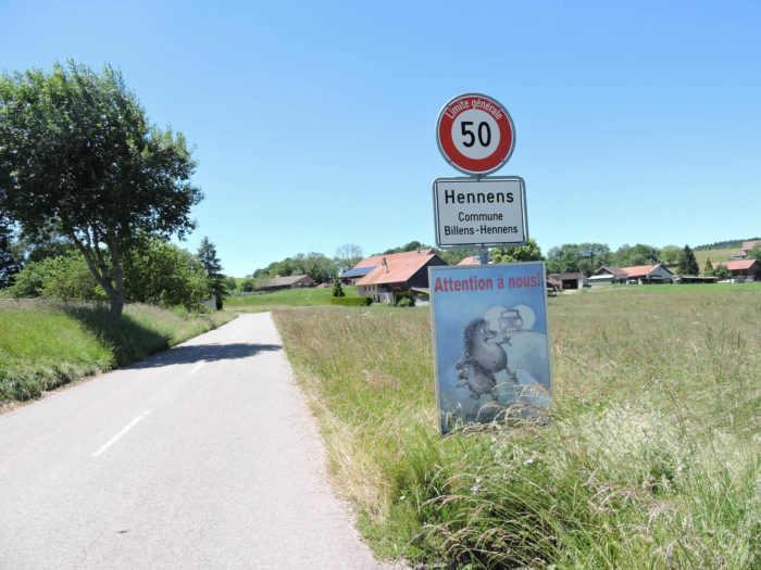
| Further on, the road arrives at the entrance to Hennens. |
 |
 |
Section 2: From the canton of Fribourg to the canton of Vaud.
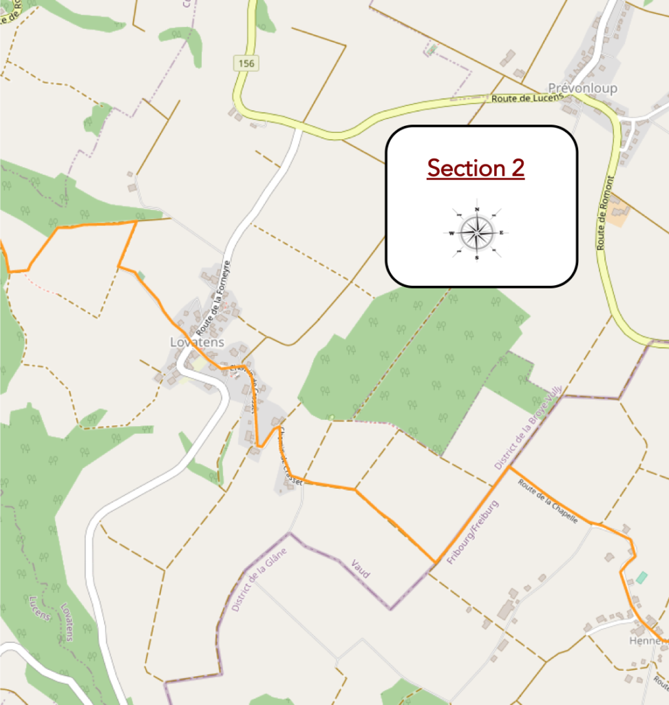
Overview of the route’s challenges: some slopes but nothing very difficult.
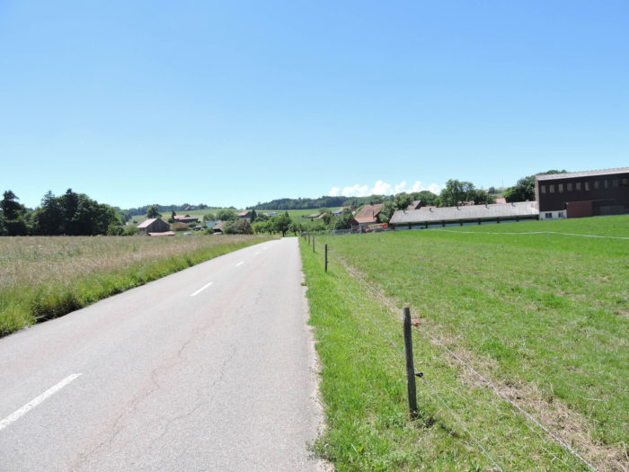
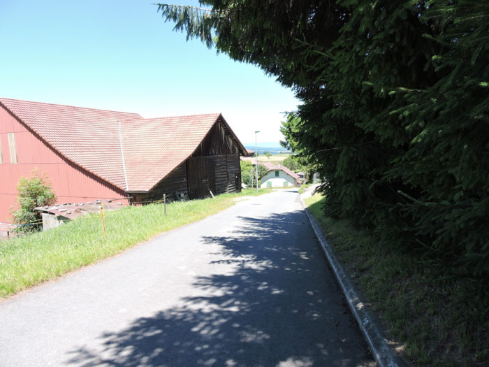
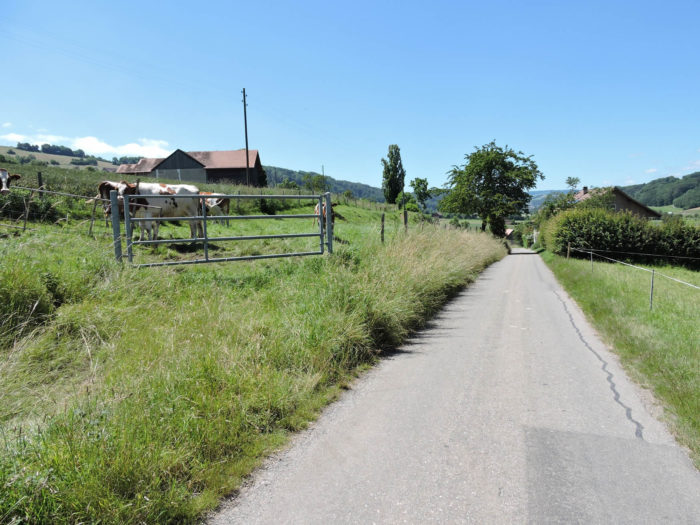
| The road winds through a humble hamlet, where life unfolds at the pace of the seasons, amidst scattered farms like notes on a musical score. |
 |
 |
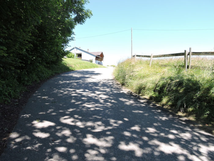
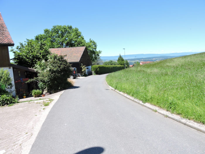
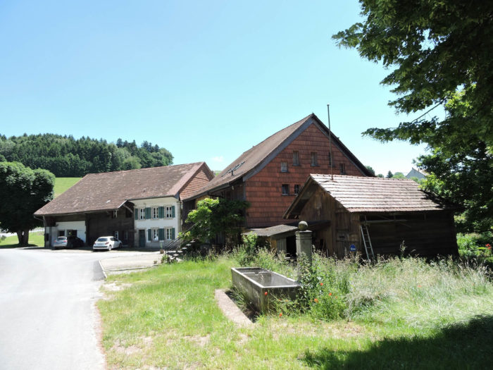
| Once you leave the village limits, the road timidly slopes up, revealing here and there the splendors of the Fribourg farms, ancient remnants of wood and history, skillfully restored over the centuries. |
 |
 |
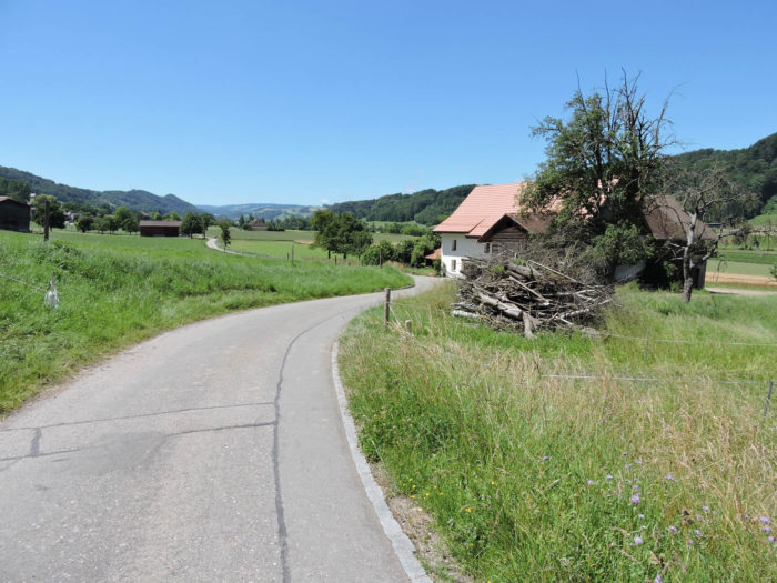
| An ascent towards the Chapel of Saint Bernard of Montjoux begins, a secular building erected at the end of the 17th century and renovated with respect in the 19th century, a precious witness inscribed in the pantheon of regional cultural assets. Still under the yoke of the Catholic faith, the landscape transforms a few strides away, leaving behind the Fribourg lands for the Vaud Protestant plains. You haven’t climbed much. You are almost at the same height as the heights of the citadel of Romont, on the horizon. |
 |
 |
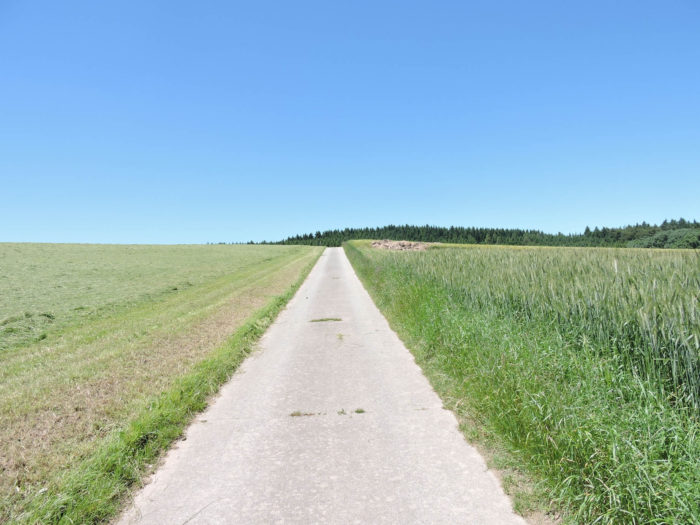
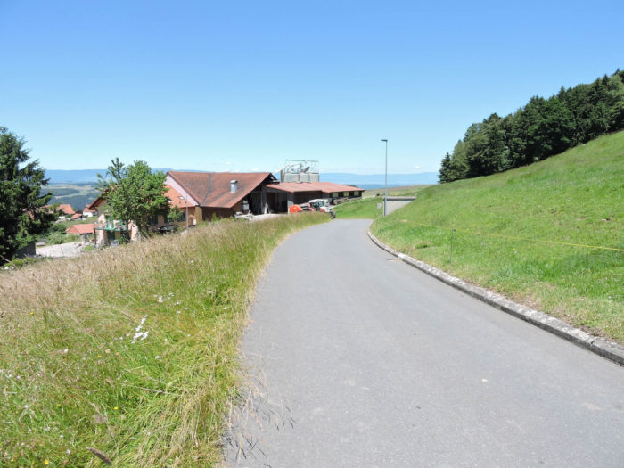
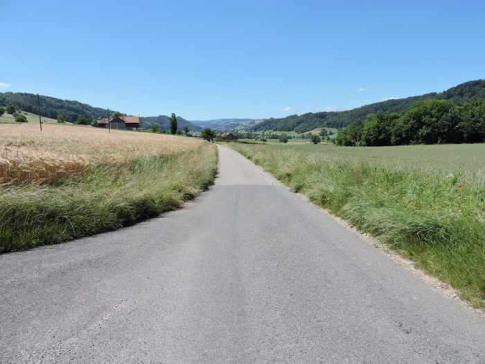
| The road continues to rise, gently caressing pastures and cornfields. No human trace on the horizon, only nature in its purest form. |
 |
 |
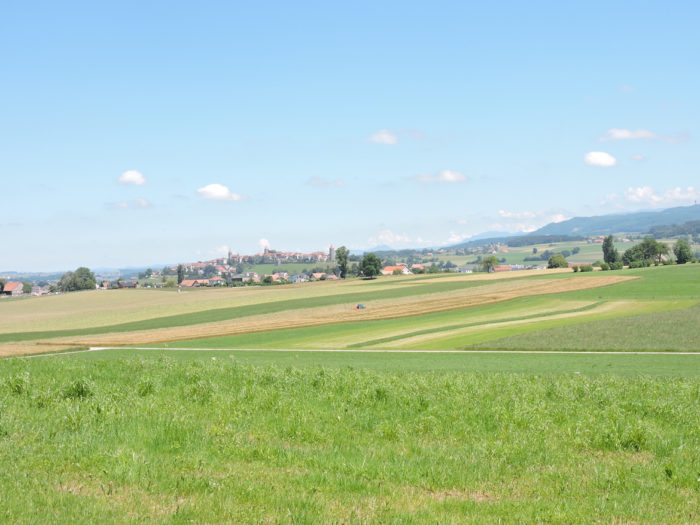
Romont gradually fades behind you, drowning in the meanders of time and space.
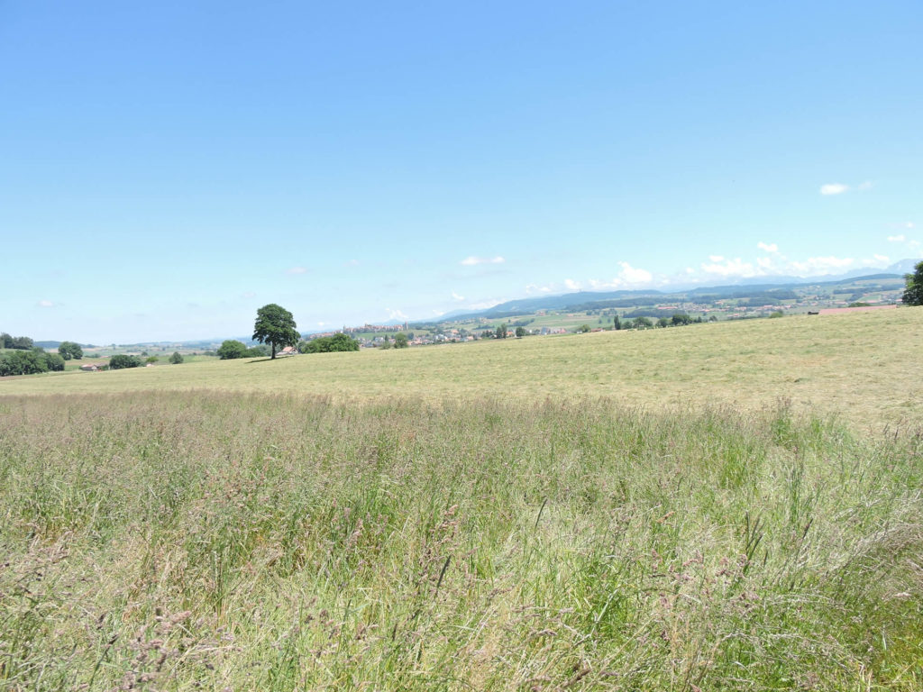
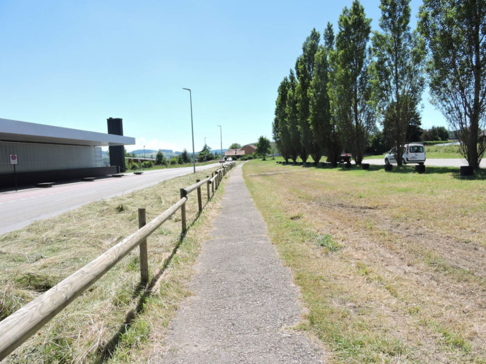
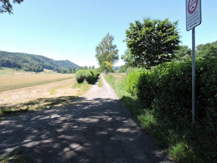
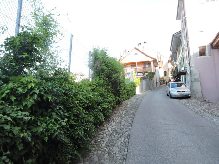
| Further on, the Via Jacobi forsakes the asphalt for a narrower path, delving into the meadows like fingers exploring the contours of the earth. |
 |
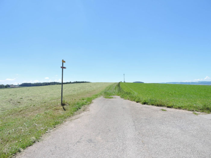 |
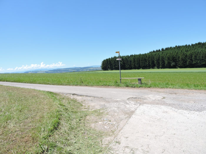
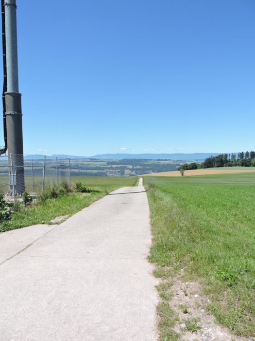
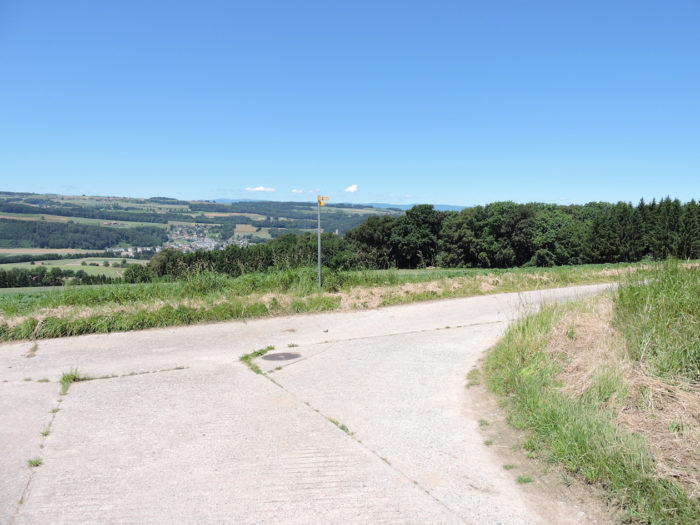
A little further on, a path stretches flat in the grass, leading to a proudly standing telecommunication antenna.

| Here, at the summit of your journey, you touch the peak of your ascent. Barely a hundred meters higher than the foot of Romont, you cross the invisible border between Fribourg and Vaud, materialized by a humble granite boundary stone, a challenge thrown at the modernity of agricultural tractors. |
 |
 |
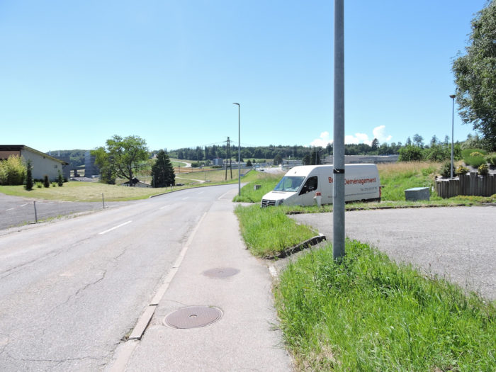
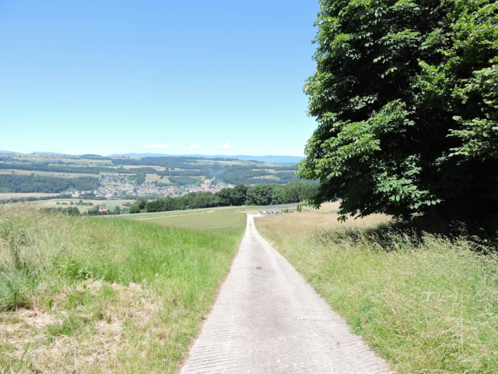
| Beyond the antenna, the road plunges into a steep descent, leading you to the peaceful shores of the Broye valley. Sometimes steep, the slope carries you through winding meanders, until the majestic foothills of the Fribourg Alps emerge on the horizon. |
 |
 |
| The descent continues until the first houses of Lovatens appear on the horizon. |
 |
 |
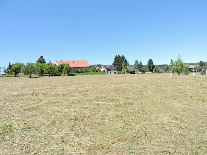
| Through the picturesque meanders of the countryside, the Via Jacobi gracefully winds its way through the heart of the agricultural exploitations that punctuate the landscape. In this tranquil panorama, where farms seem devoid of the singular elegance of the homes in German-speaking Switzerland, the gaze is carried away by a progressive transition of peasant architecture. From here, you will see fewer and fewer farms until Geneva. |
 |
 |
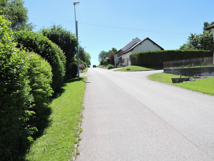
| After a wide turn, the Via Jacobi emerges in the heart of the village. |
 |
 |
Questions remain about the origin and role of this menhir, planted in the meadows like a totem.

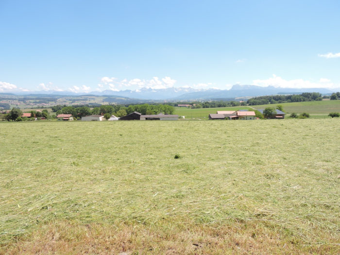
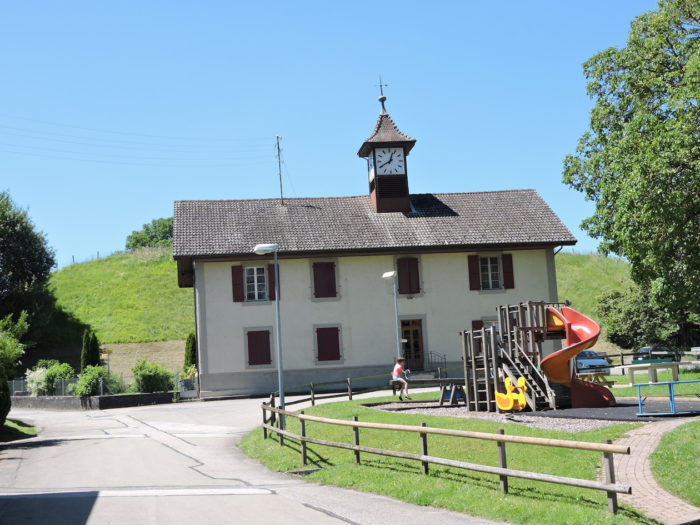
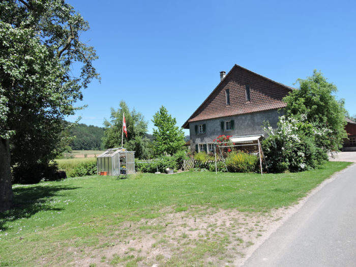
| Here, within Lovatens, a calming tranquility reigns. Around its alleys, a modest inn transforms into a sanctuary of knowledge, sheltering within its walls not only refreshments for the body but also treasures for the mind, in a subtle harmony between culture and conviviality. Lovatens depicts a living canvas where secular traditions mingle with modern aspirations. Here, agriculture, livestock, and orchards shape daily life, but already an evolution is taking shape, with the gradual arrival of urbanites seeking a return to the land. |
 |
 |

| A steep road descends from the village towards the ultimate resting place, the cemetery, offering a breathtaking view of the town of Lucens below. In Switzerland, religious affiliation often reveals itself at the turn of paths, where the topography itself reveals the beliefs of the inhabitants. Among Protestants, the cemetery often stands apart from the church, reflecting this spiritual distance. In Lovatens, the church is in the village, the cemetery lost in nature, at the bottom of the village. You are therefore in Protestant territory. |
 |
 |
| Beyond the cemetery, a small road descends towards the undergrowth, then cuts at a right angle. |
 |
 |
| Further down, it skirts the densely wooded forest, with rarer deciduous trees. |
 |
 |
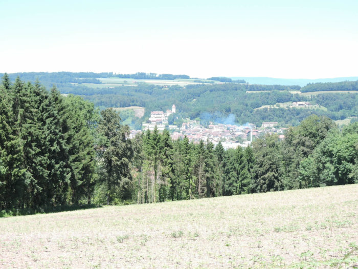
| Lower down, in the valley, the horizon widens to reveal Lucens and its imposing castle, symbols of power and tradition in this hilly panorama. |
 |
 |
| The road, like an arrow launched by the hand of destiny, then plunges into the mysterious woods. |
 |
 |
Section 3: Along the Broye River.
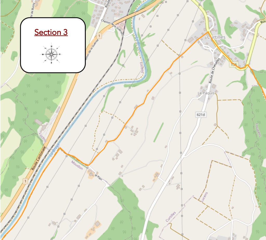
General overview of the difficulties of the route: course without any difficulty.

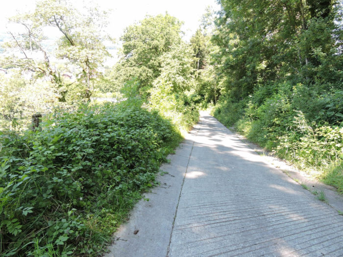
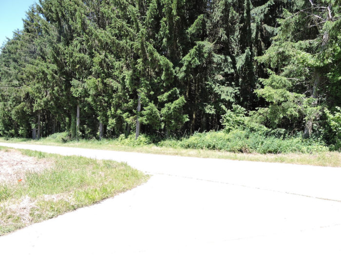
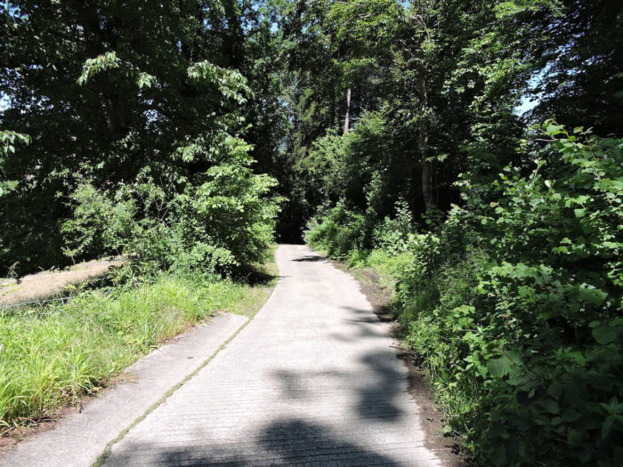
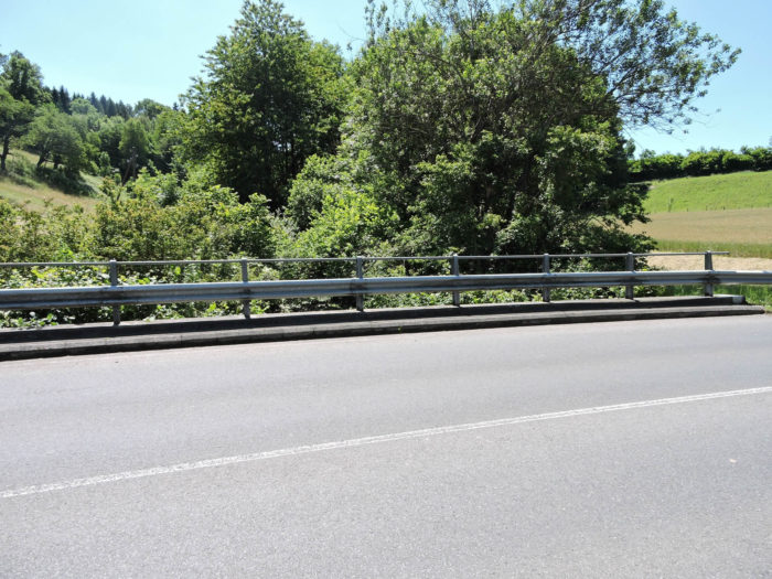
| The road delves like an intrepid explorer into the wooded tangle, its path gradually becoming steeper, defying gravity with an incline of around 20%. Soon, the asphalt gives way to the solidity of concrete, a tangible symbol of the challenging descent to come. This wild, impenetrable forest shows no mercy, offering no respite, no indulgence for the soul thirsty for beauty and serenity. It presents itself as a reflection of relentless nature, where only the strongest and most resilient beings can hope to survive. In the depths of the valley, the murmur of the Vaux stream resonates like an ancestral echo, filled with mystery and vitality, an immutable melody that punctuates the inexorable passage of time. |
 |
 |
| Deep within this verdant haven, the concrete path elegantly merges with the road network linking Romont to Moudon. |
 |
 |
| The Via Jacobi, like a daring heroine, launches onto the main road, confidently crossing the Vaux stream, resembling a serpent slipping stealthily under the cover of bushes, like a shy deity hidden in nature’s secret folds. |
 |
 |
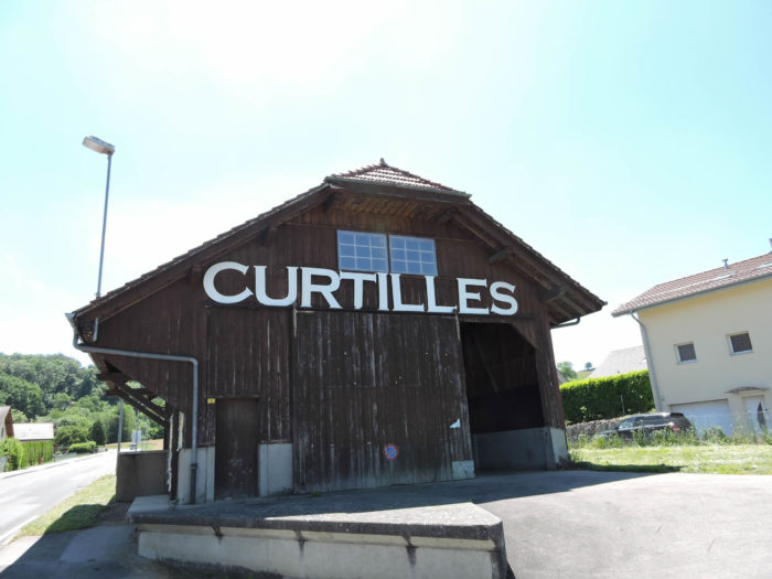
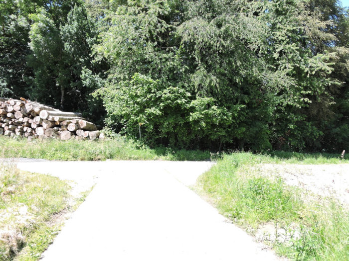
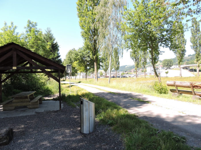
Curtilles then appears as a haven of comfort, a welcome oasis in the desert of effort.
| Here, you can find provisions. Just a fifteen-minute walk away, Lucens extends its welcoming arms, but the Via Jacobi, faithful to its path, continues on. This is where the Basel to Jura variant, passing through Payerne, joins Via Jacobi 4. In the canton of Vaud, where steeples rise less for churches than for administrative buildings and schools, resides the indelible imprint of a history marked by Protestantism. |
 |
 |
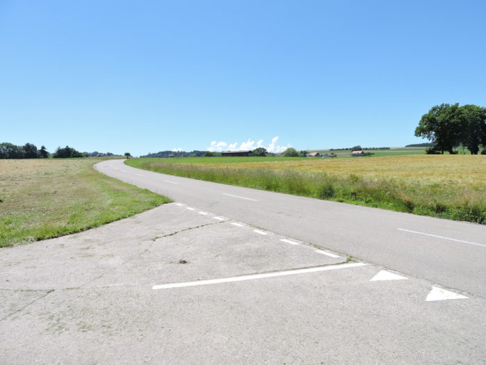
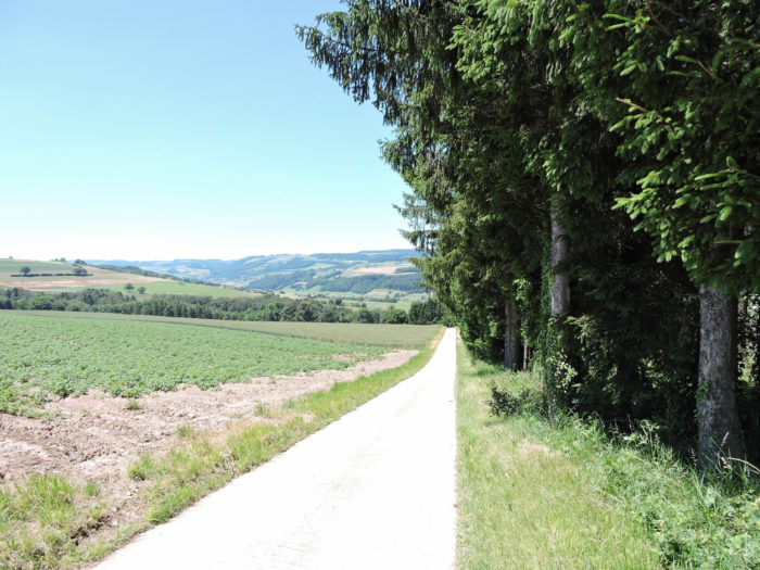
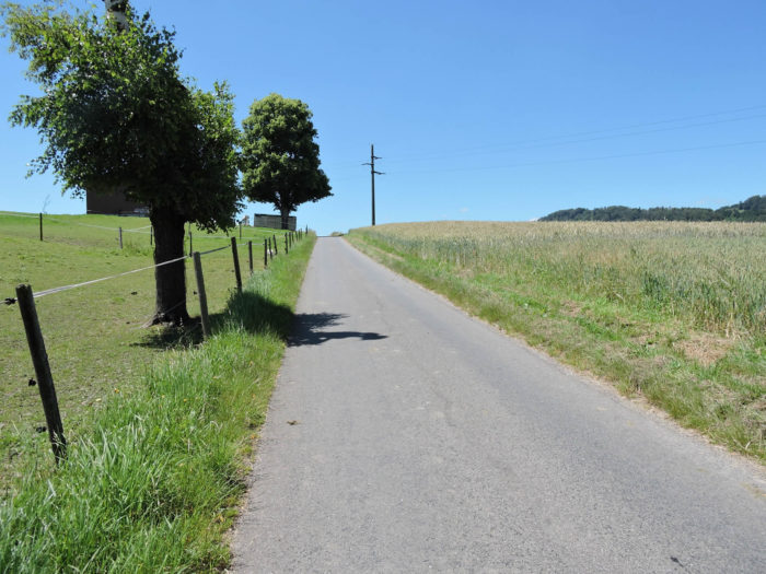
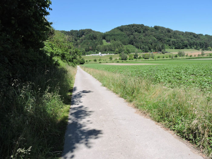
| Once again, the road escapes into the surrounding countryside, like an asphalt serpent winding between verdant meadows, tobacco fields, cornfields, and cereals, resembling a dark ink river in an ocean of greenery. |
 |
 |
| Across the valley, the imposing silhouette of Lucens Castle stands, a majestic guardian of secrets buried in the twists of time. |
 |
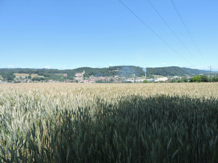 |
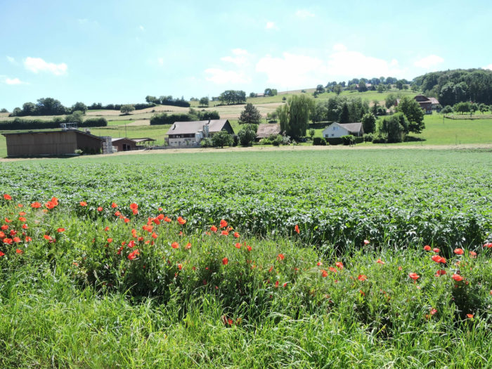
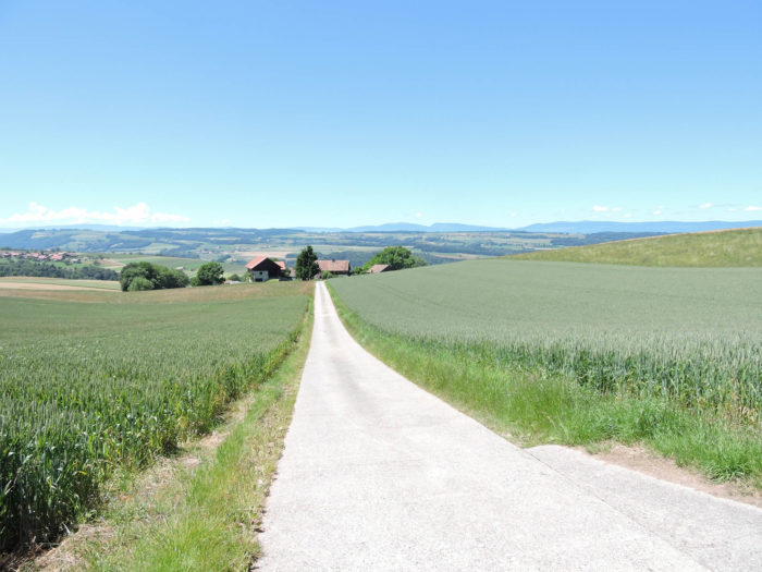
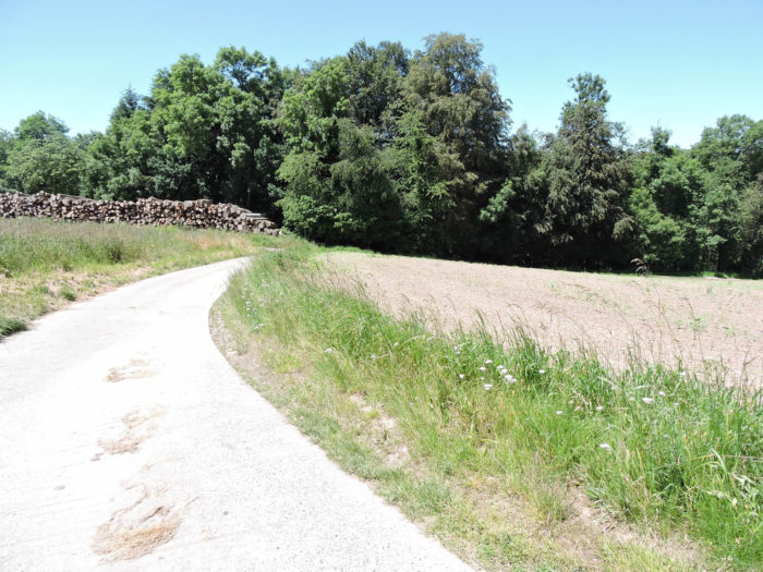
| Further on, the path gracefully meanders between the scattered dwellings of the Prévondens hamlet, silent witnesses to a rural life rooted in the nurturing earth. This blessed region of Broye, fertile and generous, distinguishes itself with vast cultivated expanses, offering a striking spectacle in contrast to the vast meadows of German-speaking Switzerland already traversed. |
 |
 |

| The road passes through the crops that stretch across the plain and hills for a long time. |
 |
 |
| The road continues through orderly settlements, where modest farms and charming bourgeois houses stand here and there, testifying to the way of life of this region. Scattered along the path or perched on the heights, these dwellings evoke a picture tinted with elegance and distinction. |
 |
 |
| Then, the path approaches a shaded wood where a peaceful stream frolics, crossing the fields of the plain to join the turbulent waters of the Broye. |
 |
 |
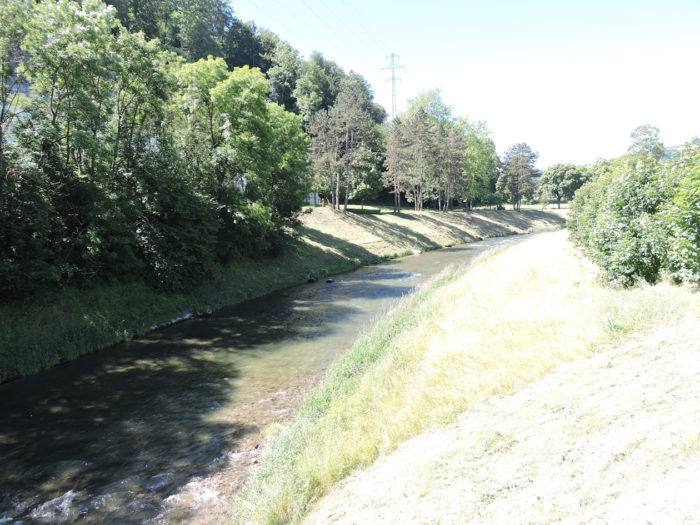
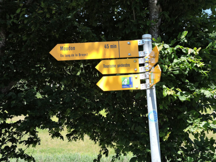
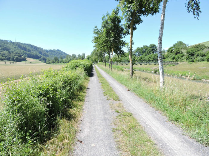
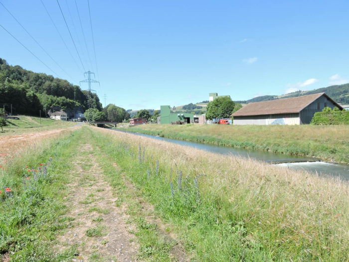
| The Via Jacobi then turns left, plunging into a wide dirt trail alongside the river, where time is frozen in the eternity of the landscape. Forty-five minutes from Moudon, the adventure continues, punctuated by the gentle murmur of waters and the ballet of foliage. |
 |
 |
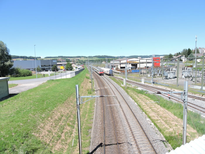
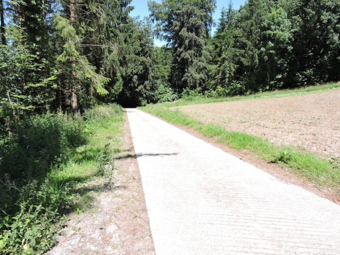
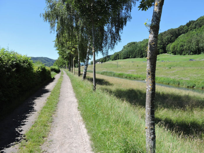
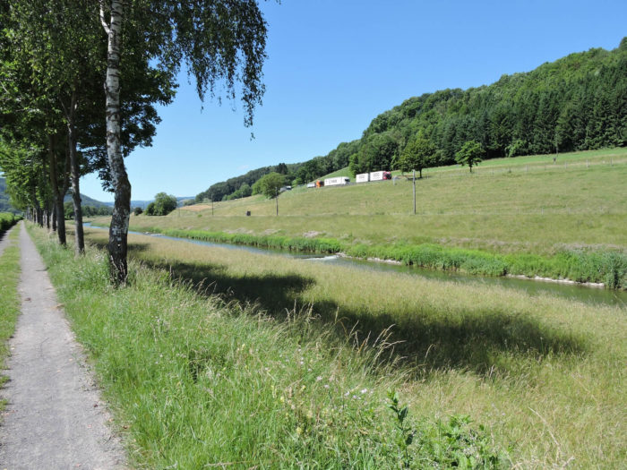
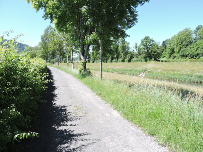
| The path, like a faithful companion, ascends the Broye Valley for kilometers, under the protective canopy of birches, ashes, oaks, and poplars. Just beside it, the road from Lausanne to Bern and the railway line run in parallel, a symphony of movement and life contrasting with the timeless tranquility of the landscape. |
 |
 |
 |
 |
Section 4: Again and again along the Broye River.
Overview of the route’s challenges: a route without any difficulty.
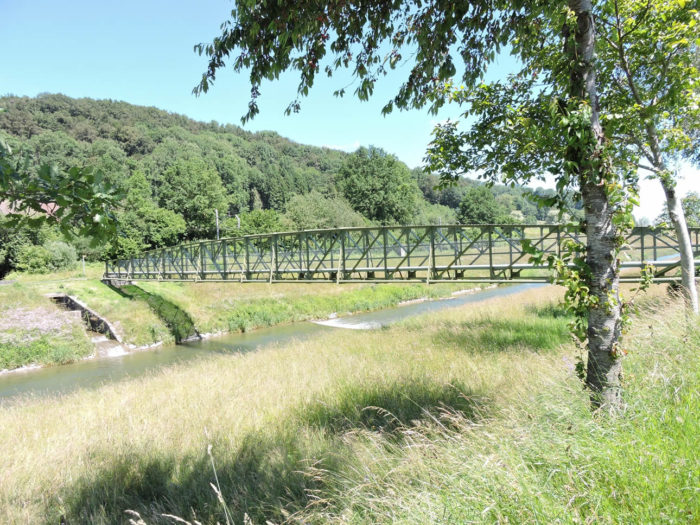
| A little further on, an iron bridge stretches above the crystalline waters, inviting travelers to cross the river and venture onto a new path of discovery. However, the Via Jacobi, faithful to its course, remains on the same bank, weaving its narrative along the winding shores. The soothing murmur of the water accompanies each step, a gentle melody in the constant ballet of the surrounding nature. |
 |
 |
| On this path, the company of cyclists is assured, a moving and varied cohort sharing the allure of the flatness offered by the landscape. The ground, like a welcoming carpet, unfolds as a constant invitation to contemplation, to the meditation of rhythmic steps. |
 |
 |
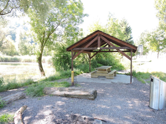
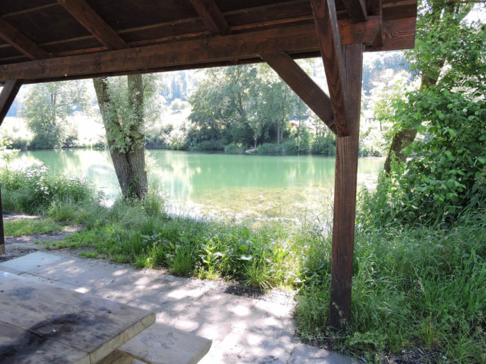
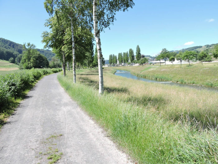
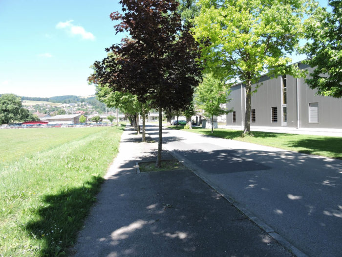
| The dirt road then approaches the industrial area of Moudon, crossing the boundaries between wild nature and human activity. Around a grove, a clearing reveals itself, offering a haven of peace by a pond, where the whispers of water blend with the laughter of picnickers. A bucolic scene where dancing shadows of trees mingle with the shimmering reflections of the pond, a welcome halt in the walkers’ journey. |
 |
 |
| The familiar silhouette of Moudon gradually emerges from the horizon, its contours drawn by the hand of history and time. The grass now caresses the steps, replacing the dust of previous trails, while on the other side of the Broye, the imposing silhouette of industry emerges. A striking contrast between the bustle of progress and the timeless tranquility of the countryside. |
 |
 |
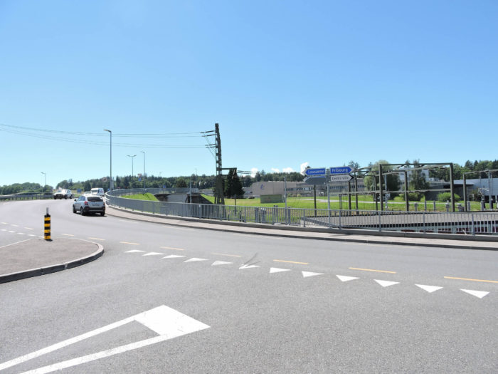
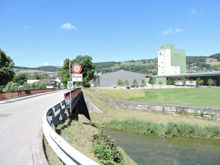
| At the gates of Moudon, the Via Jacobi confidently crosses the Broye, offering travelers a close view of the city nestled in the plain. A cheese dairy nestles under the cliffs. |
 |
 |
| The road then heads towards the train station. |
 |
 |
| Moudon, of Celtic origin, also experienced a flourishing Roman period. Today, the town has 6,000 inhabitants. The Via Jacobi ascends towards the city center along the Broye. Its narrow streets echo with the whispers of history, while the St. Etienne Church, like a stone sentinel, watches over the city. Its imposing silhouette stands as a living testament to the tumults of the past, housing within it the oldest playable organ in the Canton of Vaud, a musical treasure preserved through the ages. |
 |
 |
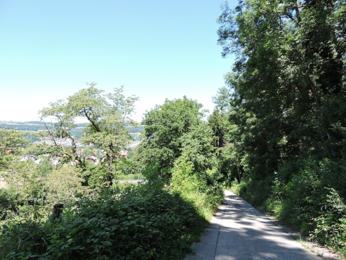
| From the heart of the city, the Via Jacobi slopes up like a serpent of stone, elegantly rising towards the heights overlooking the valley. The street, like a challenge thrown to the intrepid, ascends with determination, leading walkers to the heights crowned by history. |
 |
 |
| At the top of the hill, a majestic vestige of a glorious past, stands the castle, guardian of secrets buried in the folds of time. Its stone walls, silent witnesses to the trials of the past, still resist oblivion. Two sentinels, the Château de Carrouge and the Château de Rochefort, stand proudly, symbols of a bygone but never forgotten era. The former, a relic of a once impregnable fortress, displays its majestic tower, while the latter houses a fine arts museum, guardian of the artistic treasures of the region. A symphony of stone and memory resonating through the ages, inviting travelers to delve into the intricacies of history. |
 |
 |
Accomodation on Via Jacobi
• Jean-Pierre Demierre, Au Bugnon, Billens; 026 652 20 84; Accueil jacquaire
• Marie-Thérèse Sugnaux, Route d’Hennens 25, Billens; 026 652 28 74/079 577 13 89; Guestroom, dinner, breakfast
• Corthésy, Route de la Minerve 7, Lovatens; 079 759 19 44; Guestroom, breakfast
• Manège Les Poneys de la Broye, Rte de Prévondens 14, Curtilles; 079 219 33 46; Camping, straw, cuisine
• Marianne Luder, Prévondens 29, Curtilles; 021 906 87 74/077 402 01 56; Guestroom, breakfast
• Dortoir de la Caserne, Moudon; 079 175 97 38; Dormitory
• Piscine du Grand Pré, Moudon; 021 905 23 11; Camping, dinner, breakfast
• Anne et Michel Thorens, Les Combremonts 24, Moudon; 021 905 54 20/078 886 83 07; Guestroom, dinner, breakfast
• Anne et André Mayor, Le Plan 2, Moudon; 021 905 24 06/078 832 30 59; Guestroom, dinner, breakfast
• Michèle Cheseaux, Ch. de Valcrêt 5, Moudon; 079 418 86 47; Guestroom, breakfast
• Hôtel de la Gare, Moudon; 021 905 45 88; Hotel*, dinner, breakfast
• Hôtel du Chemin de fer, Moudon; 021 905 70 91; Hotel*, dinner, breakfast
• French 75, Route du Relais 5, Moudon; 021 905 13 13; Hotel**, dinner, breakfast
Finding accommodation on this stage shouldn’t pose major difficulties. You’ll be in cities with all the necessary amenities. However, it’s still wise to make reservations for peace of mind.
Feel free to add comments. This is often how you move up the Google hierarchy, and how more pilgrims will have access to the site.
 Next stage: Stage 17a: From Moudon to Lausanne/Lake Sauvabelin
|
 |
Back to the menu |