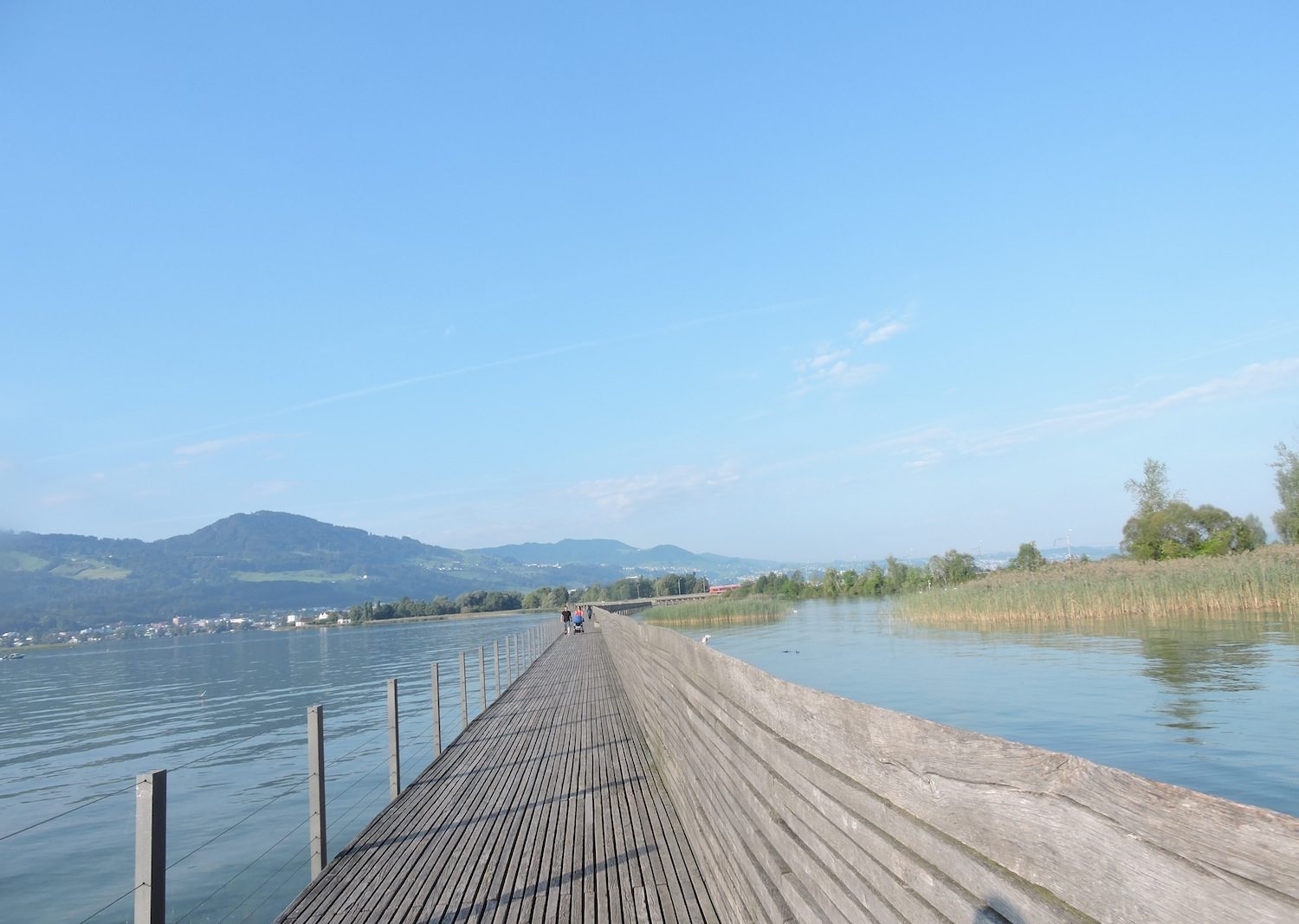
In the canals and cultures of the Seeland
DIDIER HEUMANN, ANDREAS PAPASAVVAS
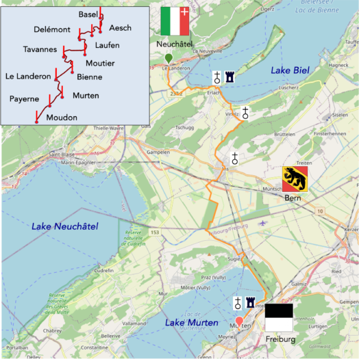
We divided the course into several sections to make it easier to see. For each section, the maps show the course, the slopes found on the course, and the state of the route (paved or dirt roads). The courses were drawn on the « Wikilocs » platform. Today, it is no longer necessary to walk around with detailed maps in your pocket or bag. If you have a mobile phone or tablet, you can easily follow routes live.
For this stage, here is the link:
https://fr.wikiloc.com/itineraires-randonnee/du-landeron-a-morat-par-la-jonction-a-la-via-jacobi-4-via-jura-3-lacs-74649288
| It’s clear that not all travelers are comfortable using GPS and navigating via smartphone, and there are still many areas without an internet connection. As a result, you find a book on Amazon that covers this journey.
If you only want to consult lodging of the stage, go directly to the bottom of the page. |
|
The Basel-Jura-Three Lakes segment, inaugurated in 2011 by the Friends of Compostela, stretches like a thread of Ariadne through Swiss landscapes, meticulously crafted for pilgrims seeking meaning. Although this route remains relatively underexplored, it attracts a few enthusiasts, particularly those traveling from southwestern Germany, passing through Basel before heading to Geneva. It is also common to encounter Swiss hikers seeking tranquility, departing from their residences between Basel and Payerne. The serenity of this route is not accidental but the result of an age-old landscape transformation.
Geographically, this route traverses several cantons, adding richness to the variety of landscapes encountered. Le Landeron, located in the canton of Neuchâtel, is the first point of interest. Upon crossing the Thielle River, you enter the canton of Bern, where the communes of Erlach and Ins dot the route with their bucolic charm. Further along, beyond the Rotary Bridge over the Broye Canal, the route leads to the canton of Fribourg, where the town of Murten (Morat) represents the German-speaking part of the canton. A map of the region will reveal the terrain’s complexities, including the imminent arrival in the canton of Waadt and the many enclaves scattered throughout this historically and culturally rich territory.
Today, walkers enjoy a day of rest in the Seeland, a vast depression at the foot of the Jura where the three lakes of Neuchâtel, Biel, and Murten nestle. Once, the Rhône glacier, a giant of ice, extended into this region, creating a large lake that over centuries transformed into a marshy plain scattered with a few lagoons. Rivers like the Aar and the Broye once flowed freely until humans, with the determination of nature’s architects, altered their courses. Streams were canalized, and the Thielle and the Broye were diverted into artificial channels, reducing the lakes’ levels by several meters. This masterful intervention stabilized the river courses, turned the Great Marsh into arable land, and created a navigable route that spurred regional growth. The once nearly uninhabitable marshland is now a thriving area for farmers who take advantage of the fertile drained soils, earning the Seeland its well-deserved reputation as « Switzerland’s vegetable garden ».
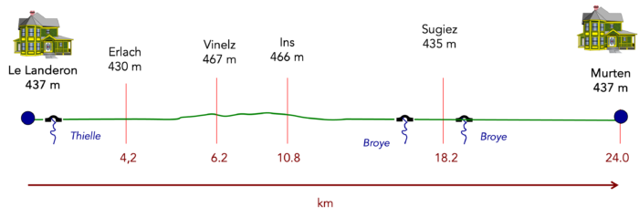
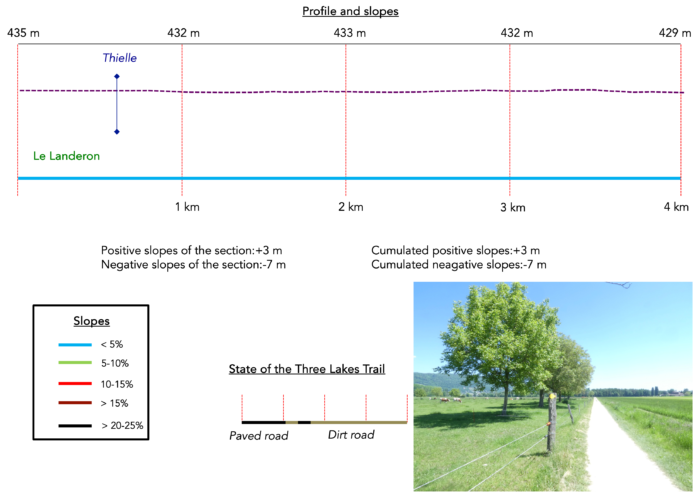
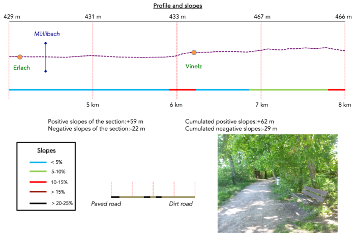
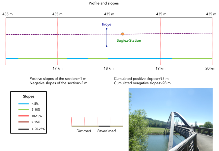
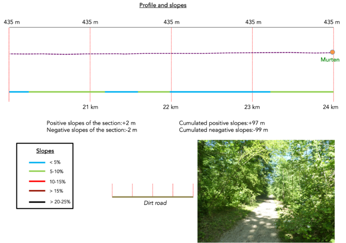
Difficulty level : Today’s elevation changes (+97 meters/-99 meters) are minimal, with no particular difficulties to report.
State of the Three Lakes Trial : Today, it consists mainly of pleasant walks on dirt paths:
- Paved roads: 6.7 km
- Dirt roads : 17.3 km
Sometimes, for reasons of logistics or housing possibilities, these stages mix routes operated on different days, having passed several times on these routes. From then on, the skies, the rain, or the seasons can vary. But, generally this is not the case, and in fact this does not change the description of the course.
It is very difficult to specify with certainty the incline of the slopes, whatever the system you use.
For those seeking « true elevations » and enthusiasts of genuine altimetric challenges, carefully review the information on mileage at the beginning of the guide.

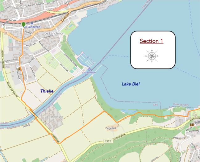
Section 1 : A walk to the lake
Overview of the route’s challenges : This route presents no particular difficulty.
|
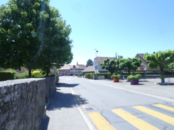
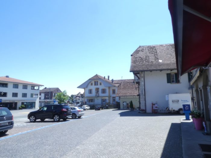
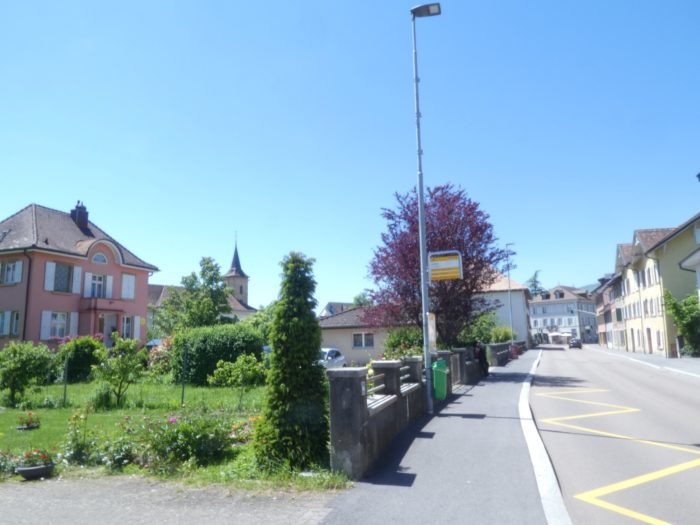
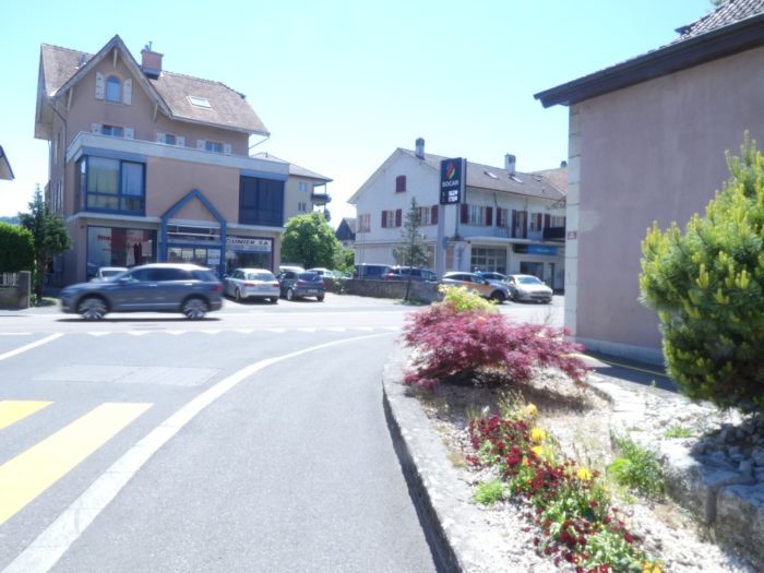
Today’s walk begins in the heart of the new town of Le Landeron. From this central point, the route leads towards the church, passing under the train station. At the first intersection, you will need to follow Rue St Maurice, which runs alongside the church of the same name.
|
 |
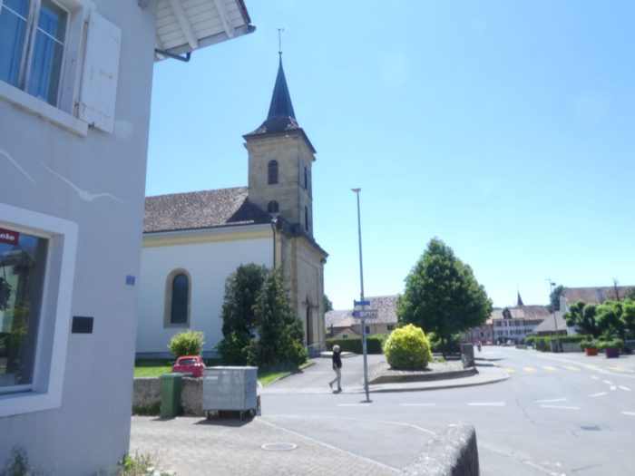 |
| As you cross this road, you will embark on a journey through time, transitioning from the modern village to the old one, where the two blend seamlessly. |
 |
 |
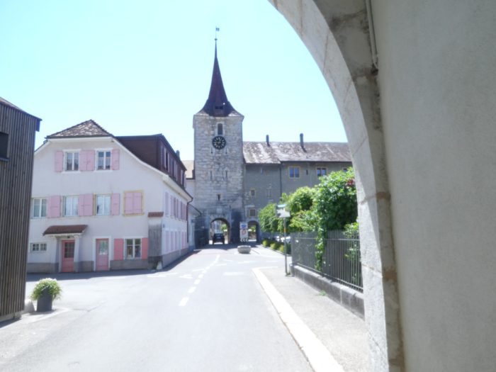
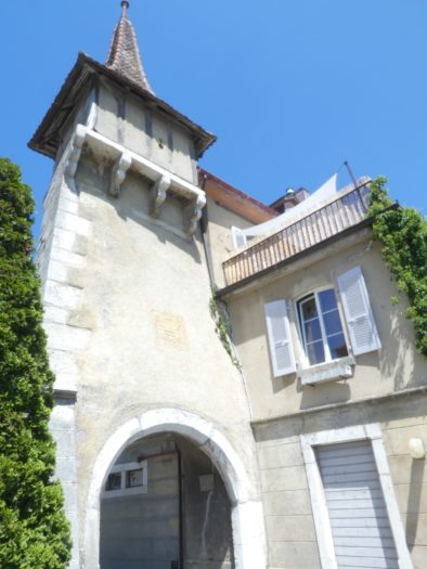
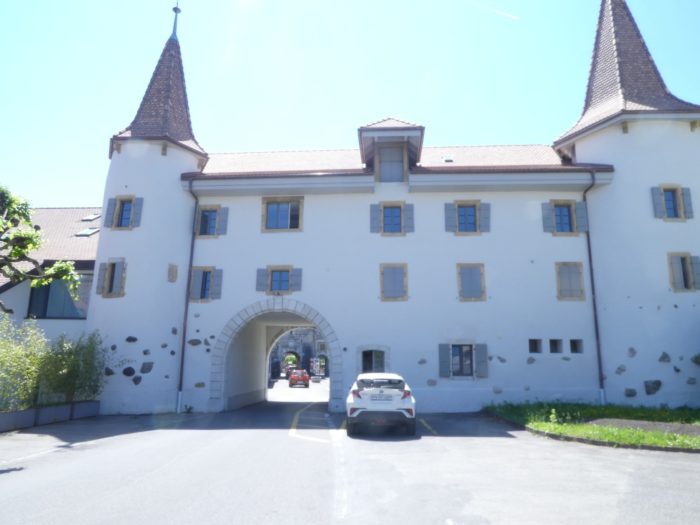
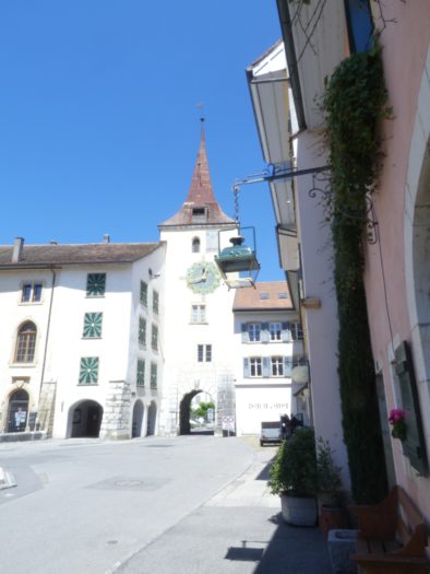
| Perhaps you had the chance to visit this old quarter the day before. To recap: the entrance to the old town is through a monumental gate, which leads to a strikingly beautiful square. This fortified medieval town seems frozen in time, preserving its centuries-old charm. Founded in the 14th century by the rulers of Neuchâtel, the town has maintained its historic allure. The linden tree avenue, connecting two fountains, was laid out during the reign of Marshal Berthier and named in his honor, Cour Alexandre. |
 |
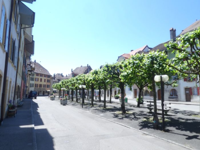 |
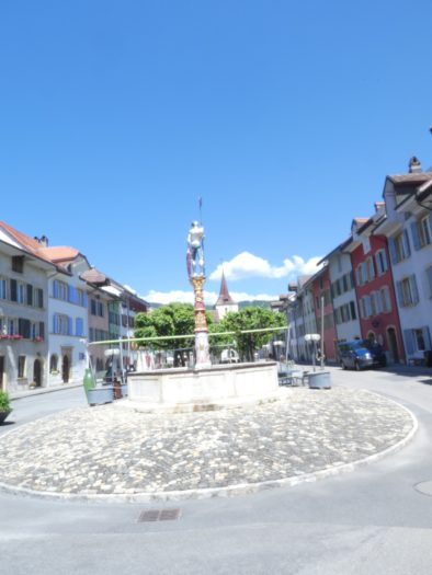
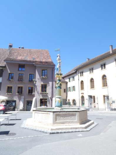
| The town square is adorned with historical monuments, elegant fountains, and warrior statues, each telling a part of the local history. The restaurant terraces scattered around the square provide a perfect retreat for visitors, allowing them to relax while admiring the magnificent 16th and 17th-century houses that line the enclosure. |
 |
 |
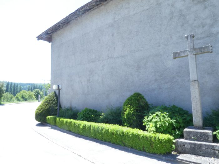
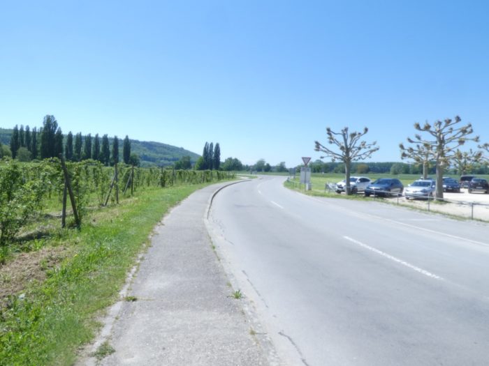
| Upon leaving the square, the landscape quickly transforms into a stretch of peaceful countryside. A small, discreet but purposeful road meanders alongside the main artery, heading toward Erlach like a green vein woven into the landscape. |
 |
 |
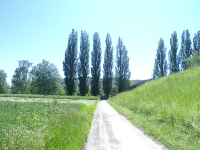
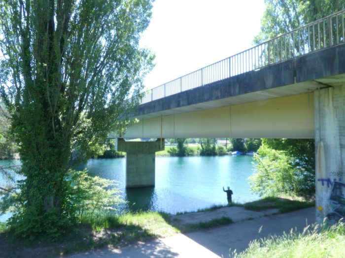
| In no time, this winding road arrives at the Thielle River, where the view opens up to a scene of tranquility. |
 |
 |
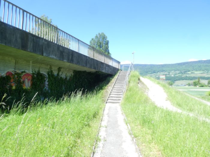
| Stone steps, like sentinels from a bygone era, gracefully ascend to the bridge. |
 |
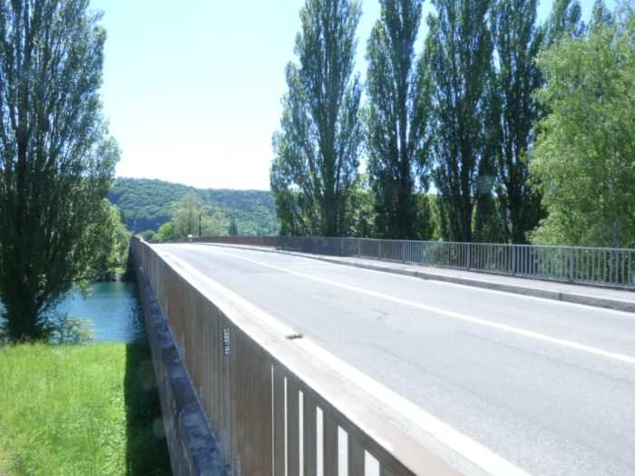 |
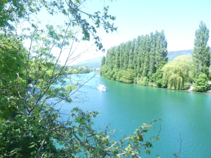
| This bridge spans the Thielle, a river that serves as a junction between Lakes Bienne and Neuchâtel. Its width and calm demeanor make it an impressive waterway, reflecting the serene grandeur of the neighboring lakes. |
 |
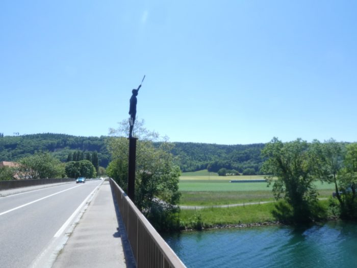 |
| The Three Lakes Trail descends elegantly from the bridge, while a dirt path stretches out parallel to the road, cutting across the fields. |
 |
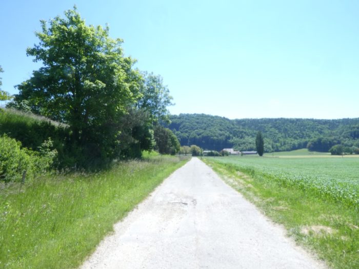 |
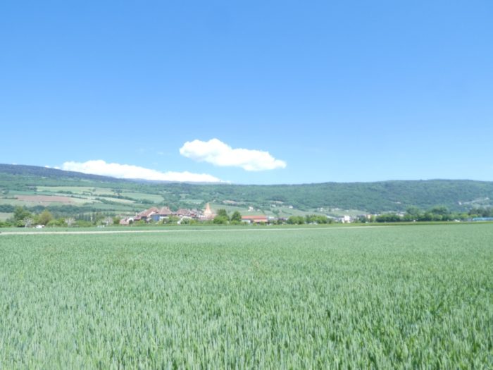
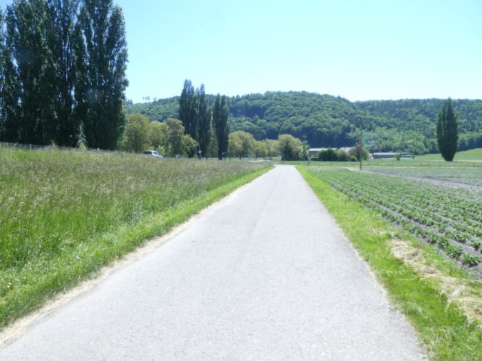
| The agricultural landscape of the Seeland unfolds in all its glory, with a variety of vegetable crops flourishing under the daylight. |
 |
 |
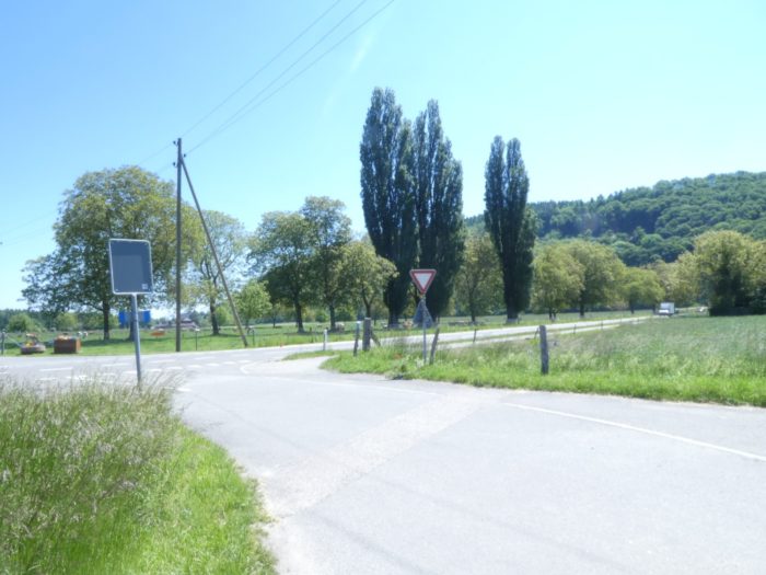
| Soon after, you find yourself back on the road to Erlach, which you will need to follow for about a hundred meters to continue your journey. |
 |
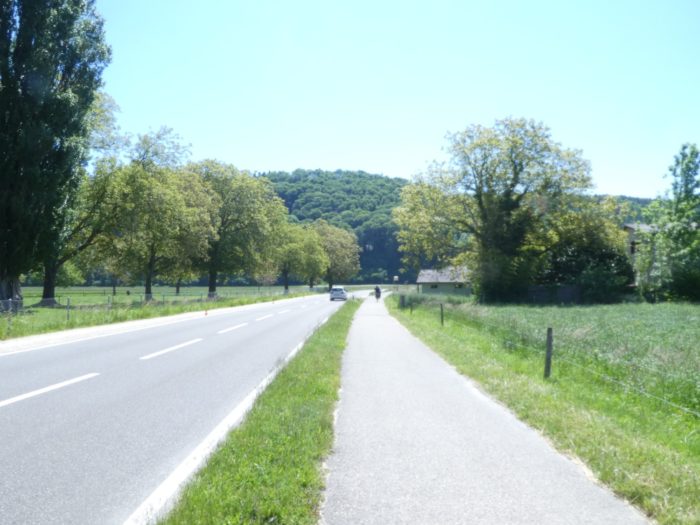 |
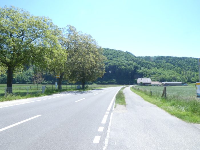
| Nearby, at the place known as St Johansen, the Three Lakes Trail leaves the main road and cuts straight through the fields, like a quiet river weaving through the crops. |
 |
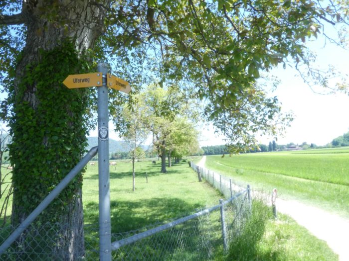 |
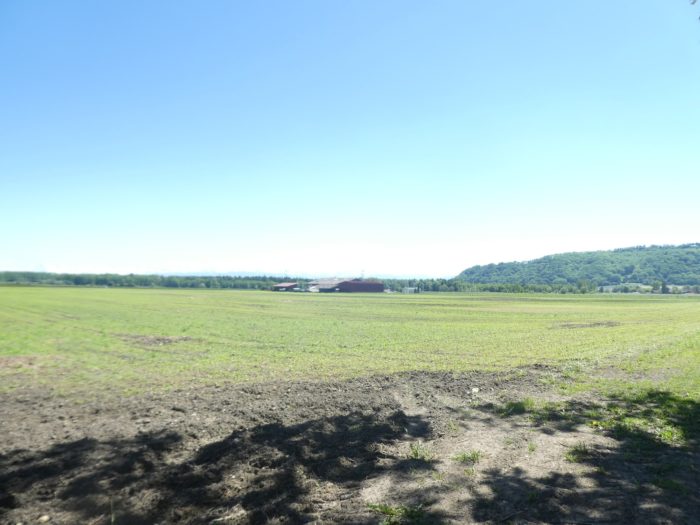
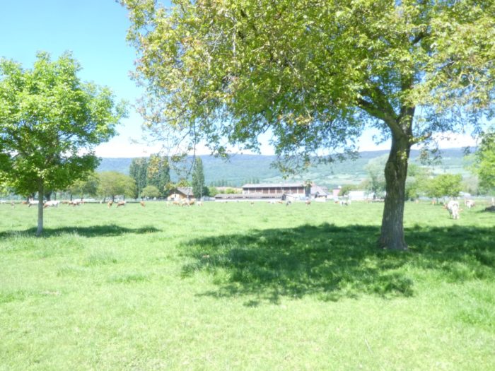
| The dirt path stretches determinedly across the vast plain, whose flat expanse resembles the smooth surface of a freshly minted coin, pristine and silent. A large, isolated farm stands imposingly in the middle of this vastness, surrounded by cultivated fields and occasionally grazing herds. |
 |
 |
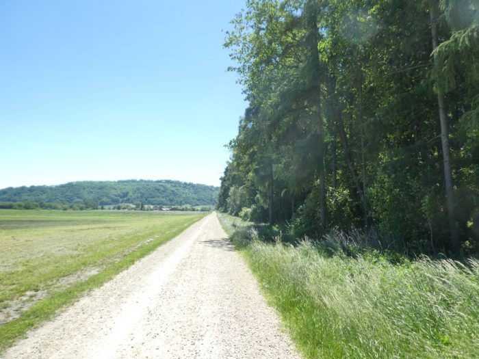
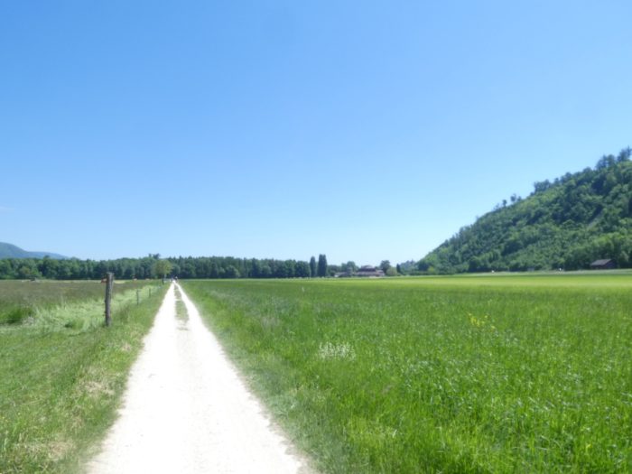
| Gradually, the path approaches the edge of the woods, sinking into a green oasis where the forest begins to whisper its secrets. |
 |
 |
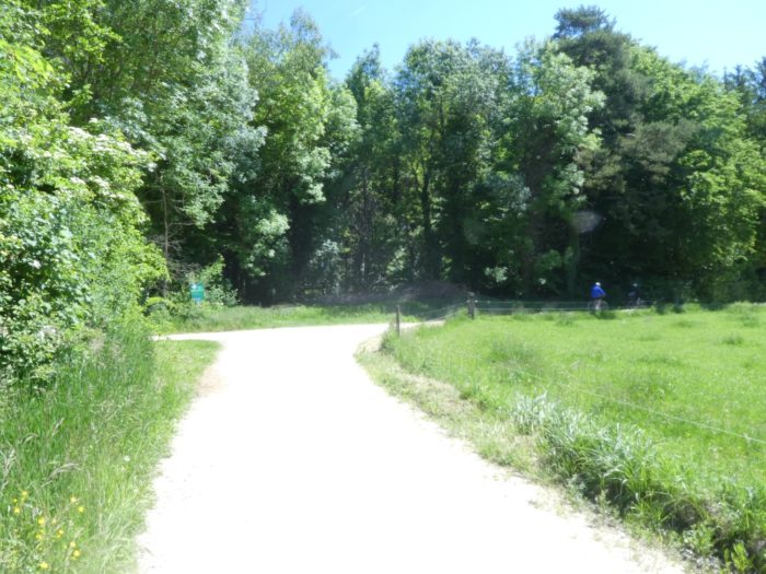
| At the end of this long straight line, it abruptly turns at a right angle towards another farm, as majestic as the first, close to the road to Erlach. |
 |
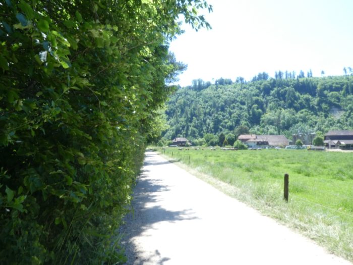 |
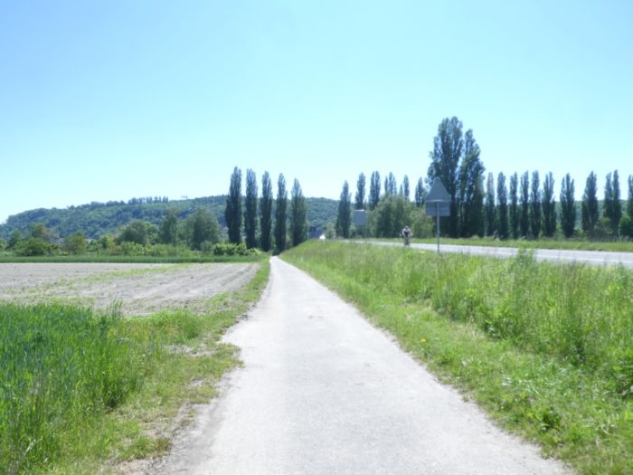
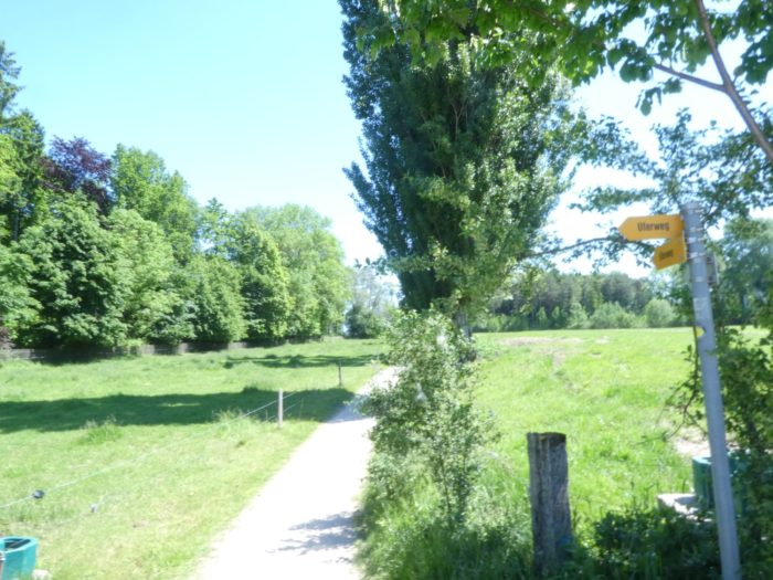
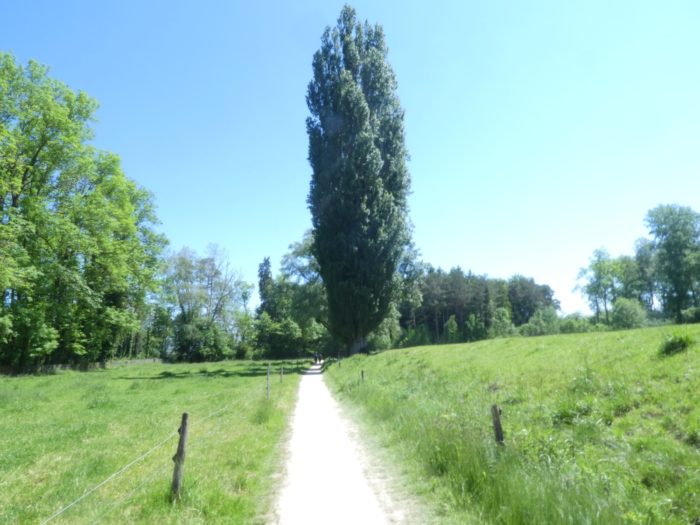
| However, the path does not stop there. It makes another sharp turn, winding into a narrower trail that twists between the meadows, shaded by elegant poplars, standing like silent guardians of the surrounding nature. |
 |
 |
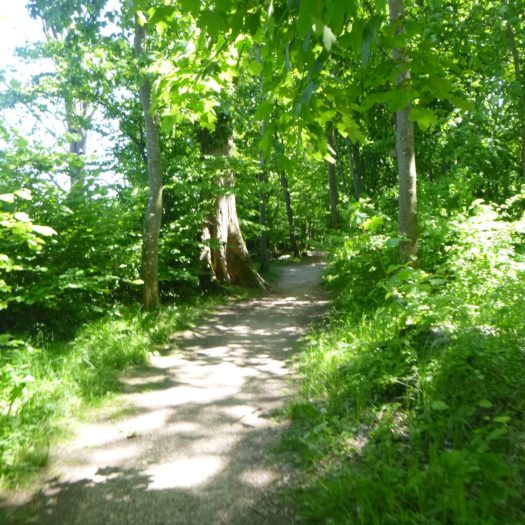
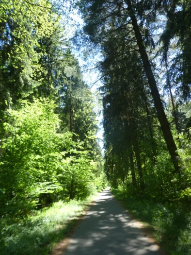
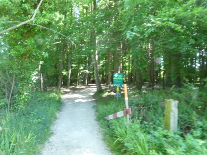
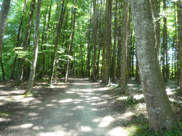
| Soon, this path plunges into the forest, where towering beech trees stand with ancient dignity, offering a grand display of natural majesty. |
 |
 |
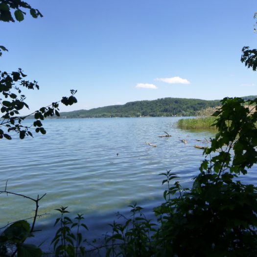
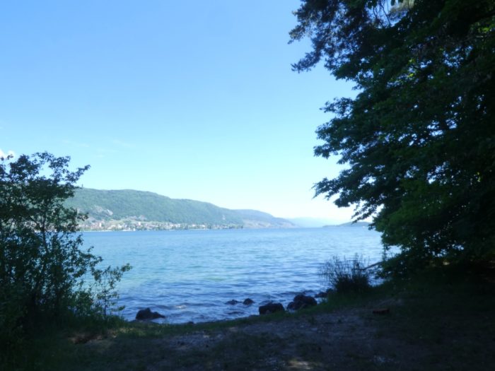
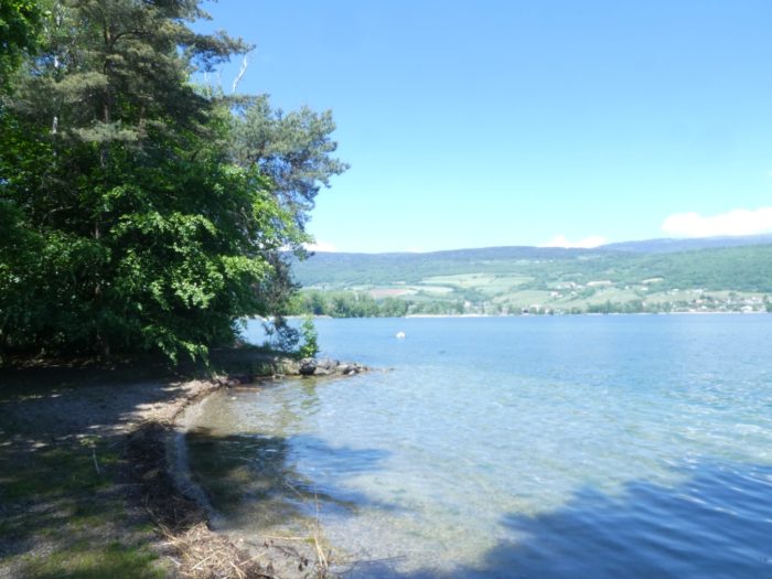
| You then arrive at the shores of Lake Biel, where the view stretches across to La Neuveville, which appears with clarity on the opposite shore, like a living painting framed by the vast horizon. |
 |
 |
|
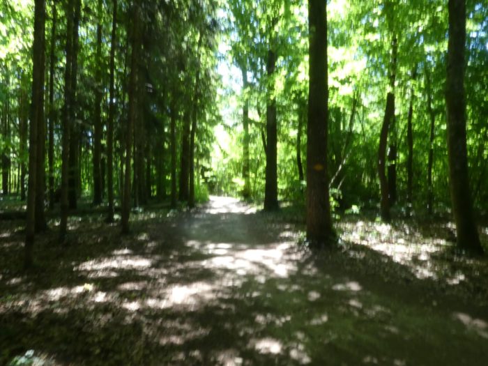
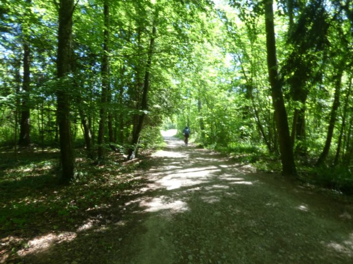
Further along, the dirt path delves deeper into the beech wood, where light becomes increasingly scarce, enveloping the trail in a deep and mysterious darkness. The towering, centuries-old trees stand as silent sentinels, their intertwined branches forming a soft canopy that diffuses the sunlight into a gentle glow.
|
 |
 |
|
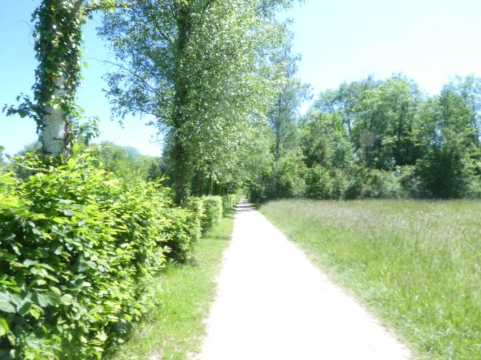
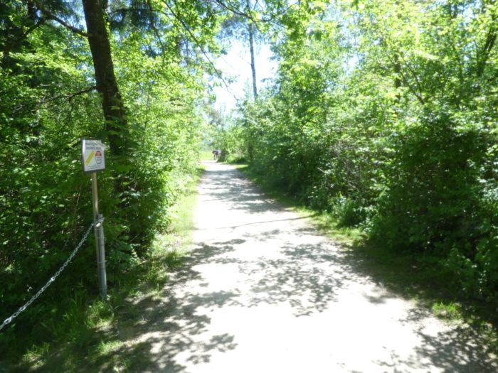
Soon, the path emerges from this dense forest, briefly slipping under the light shade of the trees, offering a contrast between the intimacy of the woods and the freshness of the open air.
|
 |
 |
|
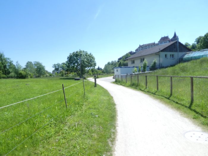
As the journey continues, a striking panorama unfolds: Erlach Castle rises majestically on the heights, its towers and ramparts evoking the grandeur of a bygone era. The path then leads to a large parking area, frequented in the summer season by visitors eager to enjoy the beach.
|
 |
 |
|
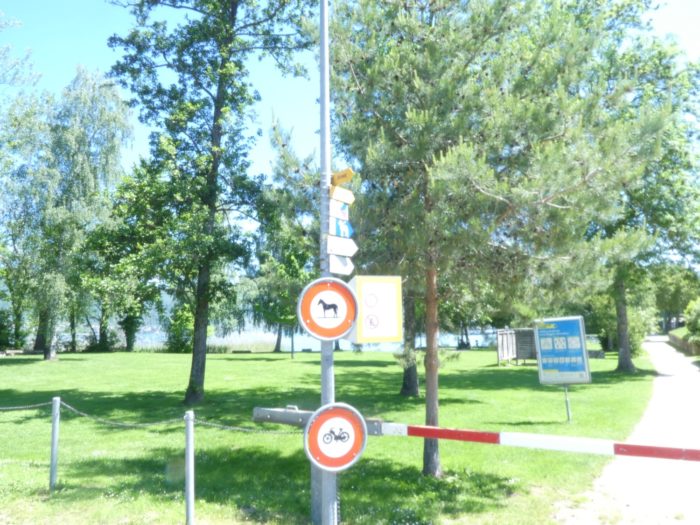
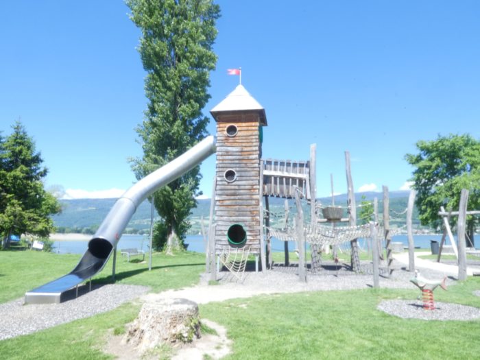
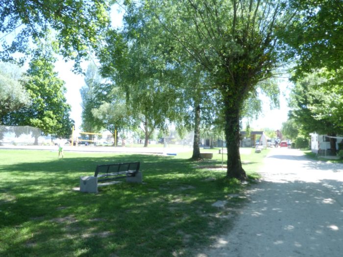
The route then crosses the large park of Erlach beach, a carefully maintained space where lush greenery blends harmoniously with recreational facilities, offering a haven of relaxation for walkers and families.
|
 |
 |
|
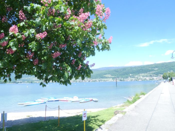
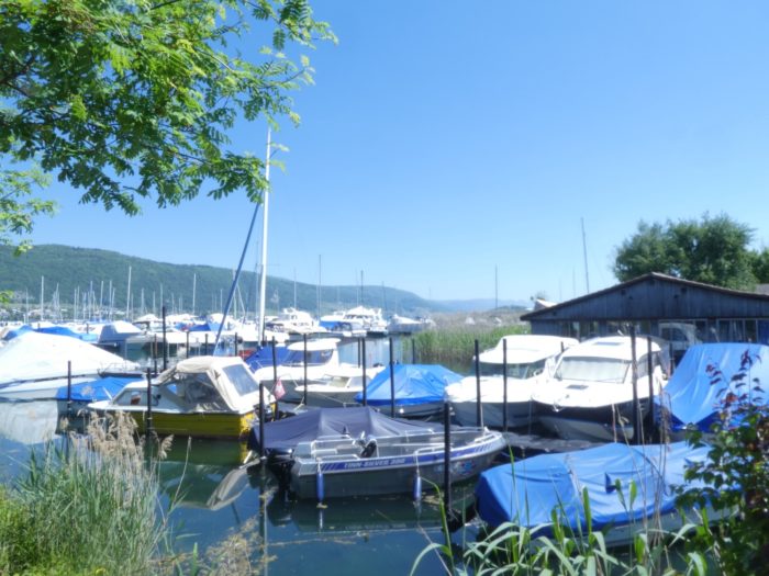
It soon reaches the end of the jetty, a place where the elegance of the surroundings combines with the tranquility of a charming, small marina. The area is well-kept, and the facilities reflect an attention to detail that invites relaxation and contemplation.
|
 |
 |
|
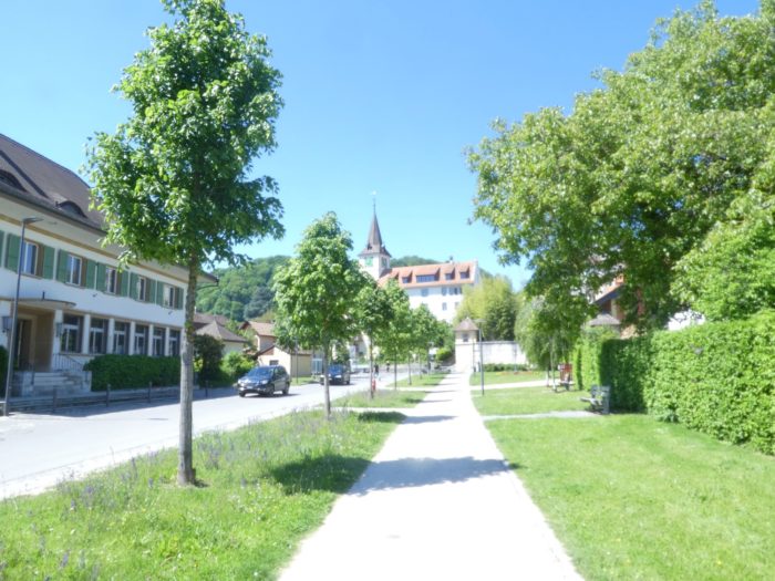
The route does not enter the small town of Erlach (Cerlier in French), which has about 3,200 inhabitants. However, the authentic charm is evident, with its colorful houses climbing boldly towards the castle, offering a captivating glimpse into local life and its rich heritage.
|
 |
 |
Section 2 : A beautiful walk along the wild lake
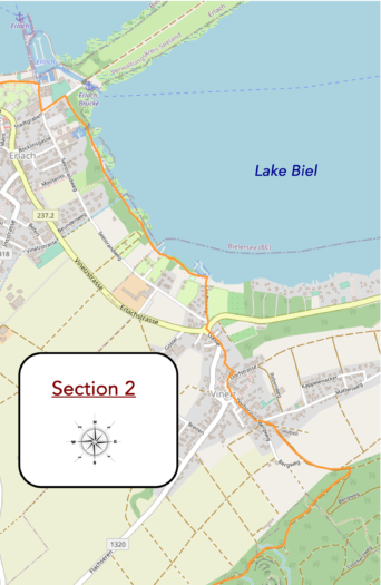
Overview of the route’s challenges : The route is easy overall, with the only challenge being the approach to Vinelz.
|
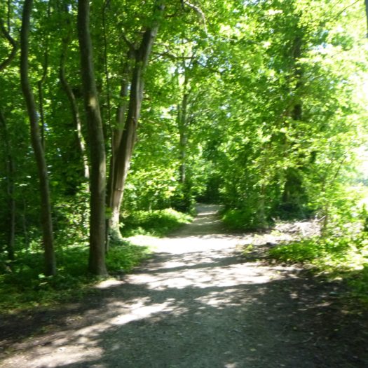
At the corner of a charming rustic restaurant, the Three Lakes Trail briefly leaves the lakeside, diving into a wooded area nestled in dense vegetation. This simple path is an ode to tamed nature, a journey that neither dazzles nor seeks to impress, but instead soothes. It’s a trail where one can get lost to find themselves again, as the earth, sky, and water gently merge in a harmonious embrace.
|
 |
 |
|
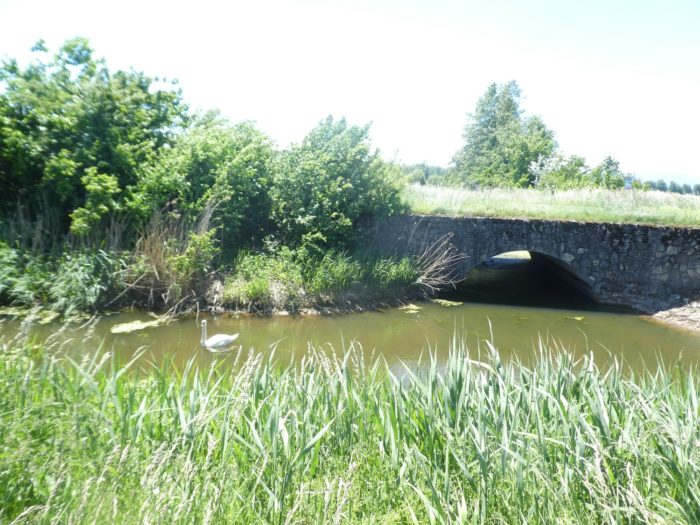
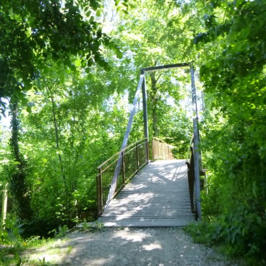
Just a few steps further, the trail slips beneath the canopy of towering trees, where a small stone bridge, a relic of another era, delicately spans the Müllibach stream.
|
 |
 |
|
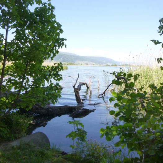
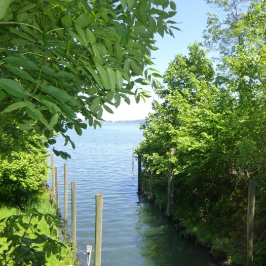
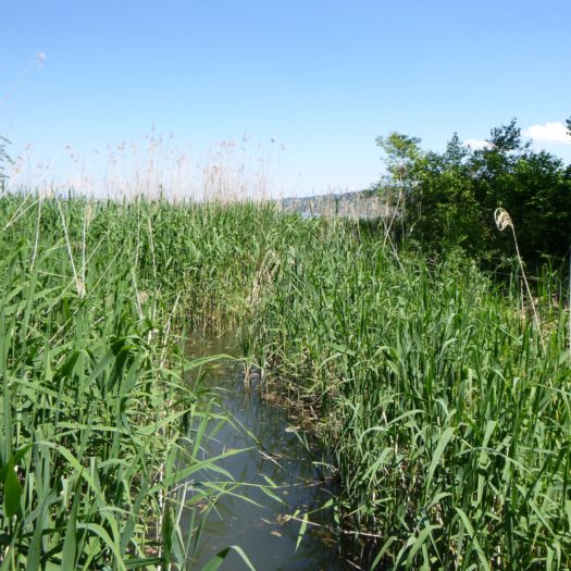
Here, the lake often remains out of sight, hidden behind a curtain of reeds and wild grasses, as if nature has chosen to shield this area from human intrusion. The path, in turn, winds discreetly through the undergrowth, like a secret whispered to those who listen carefully.
|
 |
 |
|
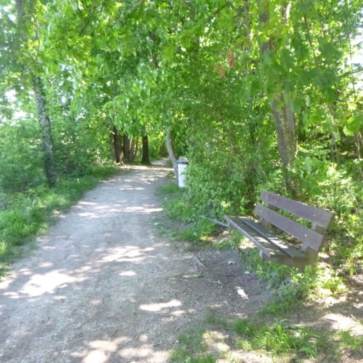
It’s an ideal spot for a contemplative stroll. Beneath the soothing canopy of vibrant maple leaves, sturdy beech trunks, and ancient spruces, the narrow dirt path, at times barely visible, passes near the serene Ruelbach ponds. Glimpses of water, through the rare openings in the vegetation, blend with the dappled sunlight filtering through the leaves, creating an almost dreamlike scene.
|
 |
 |
|
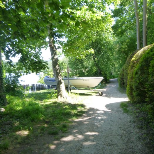
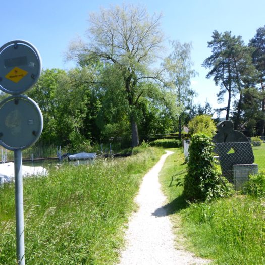
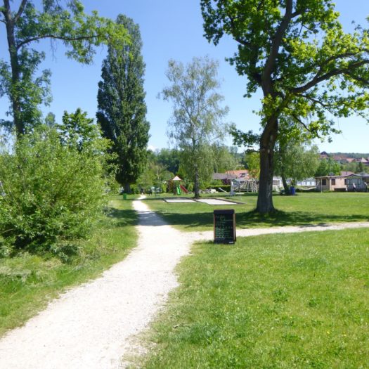
Beyond this woodland escape, the path approaches the Vinelz port with subtle elegance.
|
 |
 |
|
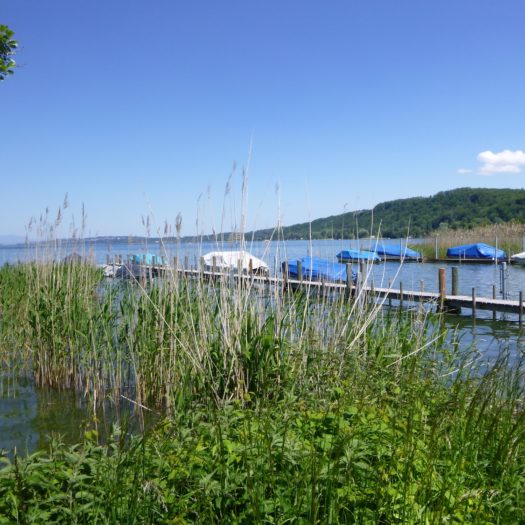
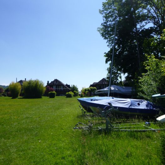
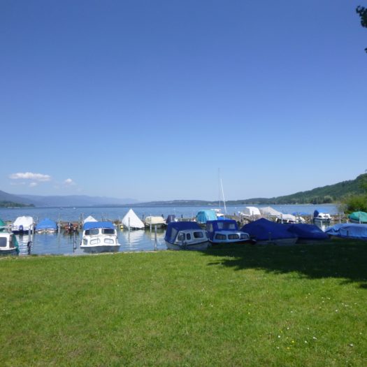
Here, splendid homes stand almost directly on the lake’s edge, their foundations brushing against the tranquil waters. Elegant boats, as still as sentinels, patiently await the call of their next adventure.
|
 |
 |
|
The path continues confidently towards the small marina of the port.
|
 |
 |
|
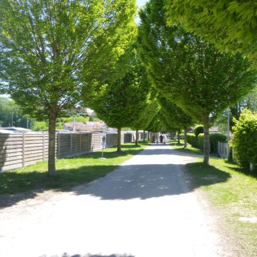
You can imagine that during peak season, this area transforms into a lively hub, filled with the hum of engines and the laughter of boaters. At this point, the Three Lakes Trail veers away from the lake, leaving the water behind to follow a line of bungalows arranged with near-military precision.
|
 |
 |
|
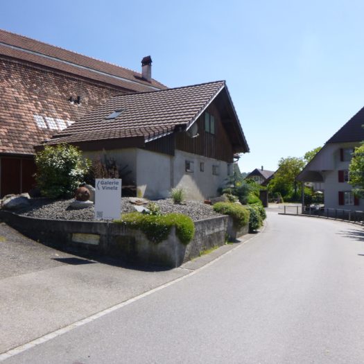
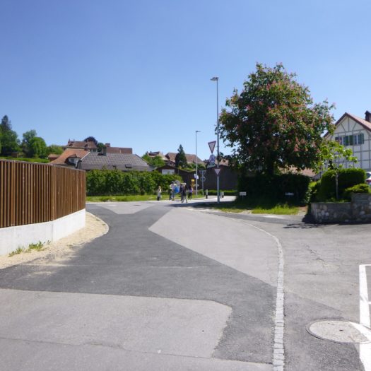
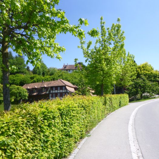
Vinelz divides into two distinct parts: the peaceful blue lakeside and the hill rising majestically in the background. The route gracefully weaves its way through, crossing the cantonal road before beginning the ascent to the village, perched on the verdant heights.
|
 |
 |
|
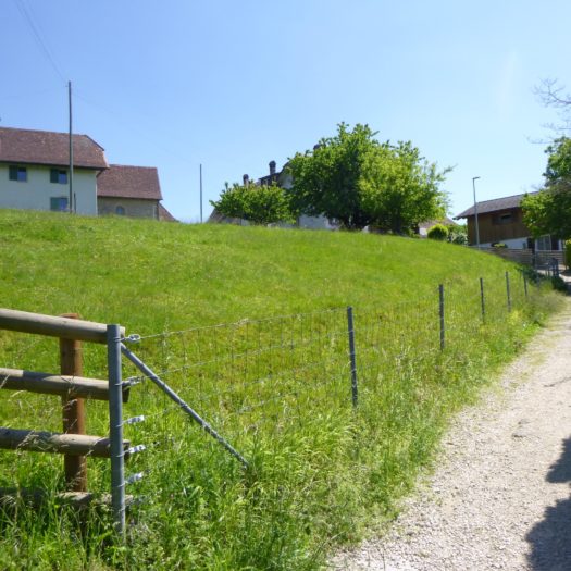
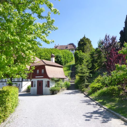
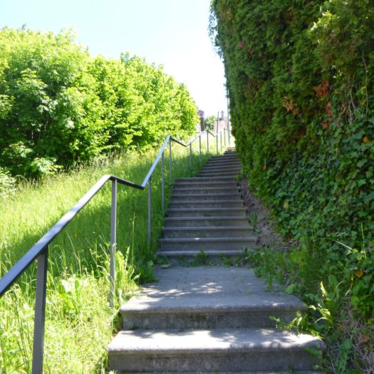
The ascent begins with steep stairs, carved from stone or wood, climbing energetically between elegant villas. The narrow path alongside is lined with well-manicured hedges and blooming gardens. Although the climb may seem demanding, it is brief, quickly offering a welcome reprieve and lush, enclosed panoramas.
|
 |
 |
|
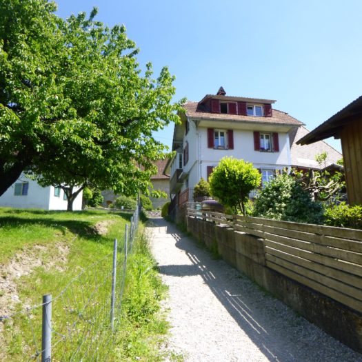
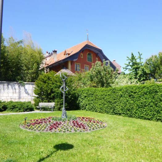
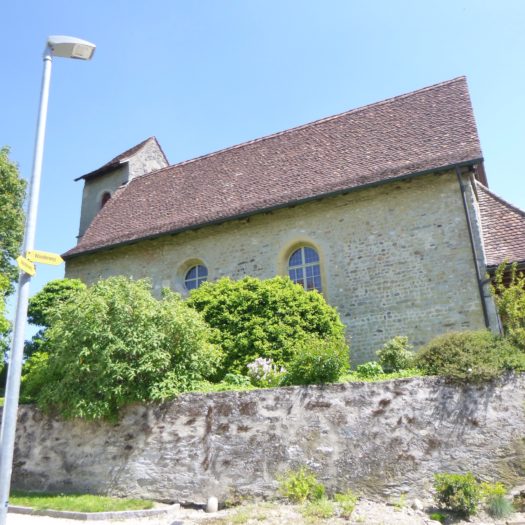
As you approach the village, the 12th-century church rises with quiet majesty, its ancient stones whispering the secrets of centuries past. The village reveals its charms: patrician houses of rare elegance, old farms transformed into refined residences with impeccable taste, characteristic of the Bernese region. In this canton, the farming tradition persists with touching authenticity, even in the most frequented places.
|
 |
 |
|
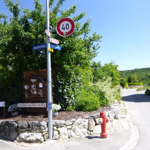
The road leads you through the village, arriving at a fork that promises an intoxicating change of scenery. The air becomes cooler, filled with the scents of the surrounding countryside.
|
 |
 |
|
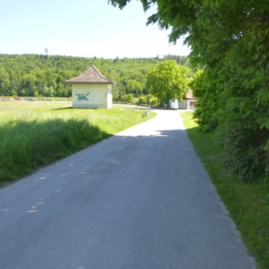
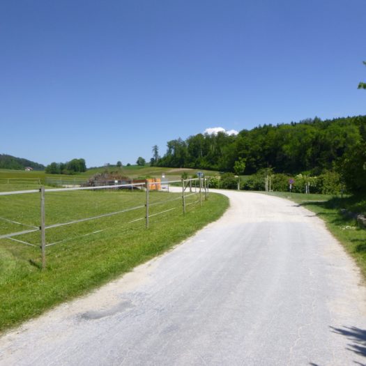
At this junction, a small road branches off from the village, plunging into fields dotted with wildflowers and bordered by a lush forest.
|
 |
 |
|
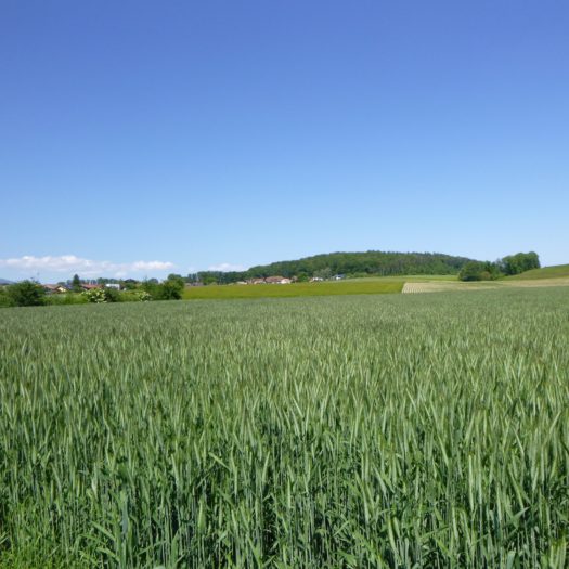
In the middle of these fields, a discreet path breaks away from the road, winding like a snake through the tall grass.
|
 |
 |
|
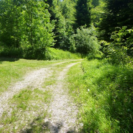
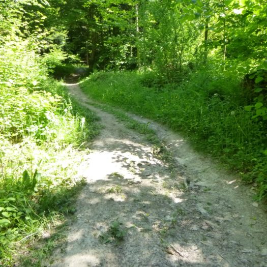
This narrow, winding trail dives into the high grass, offering a striking contrast to the surrounding forest. The slope is steep but pleasant, punctuated by moments of respite where the landscape reveals itself in all its splendor.
|
 |
 |
|
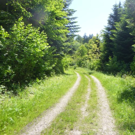
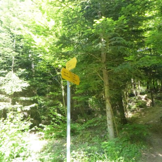
At a slightly elevated fork, the path veers to the right, offering a prolonged traverse through the forest. This section, lined with majestic trees, is an enchanting blend of fresh grass and compacted earth, dotted with roots and small stones.
|
 |
 |
|
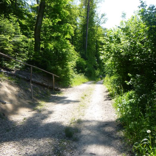
The ascent is gentle and undulating, with the path alternating between grassy sections and packed dirt, sometimes rocky. Each bend reveals a new scene of the forest, where sunlight filters through the dense foliage, creating soothing plays of light.
|
 |
 |
|
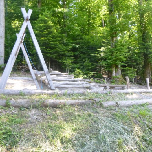
The route reveals natural relaxation spots, such as rustic playgrounds and shaded picnic areas. Spruces, ancient beeches, sturdy oaks, and graceful maples blend harmoniously, their shadows providing a welcome shield from the sun.
|
 |
 |
Section 3 : Passing through Ins, a nerve center of Seeland
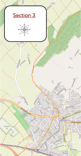
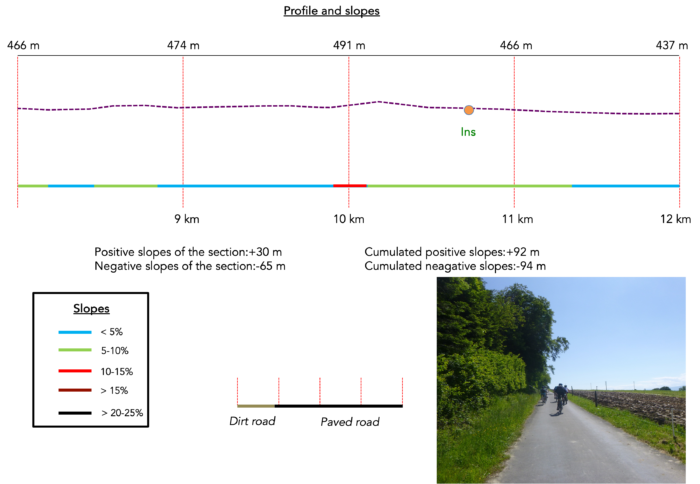
Overview of the route’s challenges: : a few minor, gentle bumps.
|
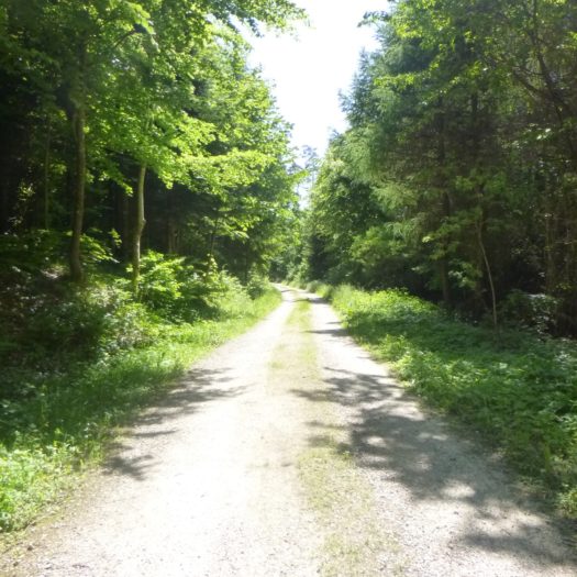
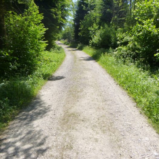
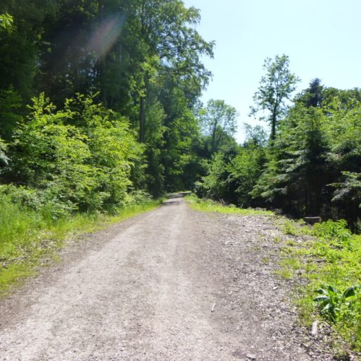
The path meanders languorously, winding under a verdant canopy where the coolness of hornbeam shoots and hazels blends with the majesty of tall trees. As you progress, a serene tranquility settles in, accompanied by the gentle murmur of leaves brushed by the breeze. The pace is slow, almost meditative, as if the path itself invites contemplation. The forest here isn’t majestic per se, but each step is effortless, imbued with a natural calm.
|
 |
 |
|
 |
 |
|
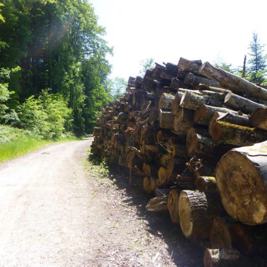
The trunks of wood piled along the path bear witness to the omnipresence of the beech tree, a sovereign presence that seems to reign supreme in these woods. The oaks, rarer and more noble, punctuate the space with their imposing but discreet silhouettes. Beneath the canopy, the Swiss forest, far from being a forgotten sanctuary, breathes human activity—a respectful exploitation that, while ensuring sustenance, preserves the delicate balance of this ecosystem. Occasionally, the eye wanders into these shadowy depths where nature seems untamed, yet each detail reveals the careful attention of humankind.
|
 |
 |
|
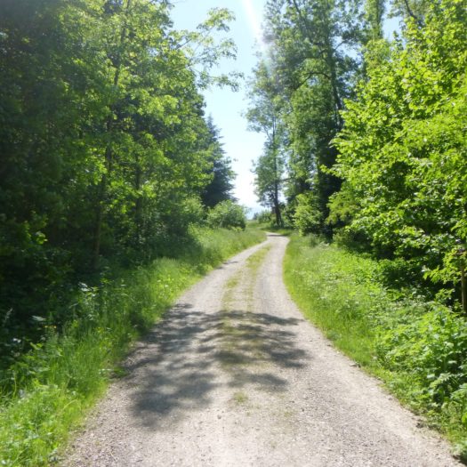
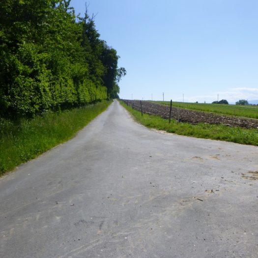
Higher up, the dirt path releases itself from the embrace of the woods. It finally unfurls under the light of the sky, like a being seeking to catch its breath after a long immersion in darkness. The brightness embraces the path before it meets a small, almost shy asphalt road in this rural setting.
|
 |
 |
|
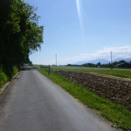
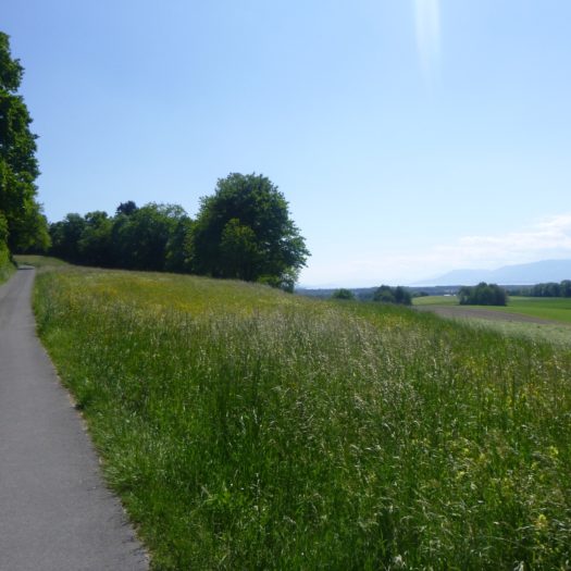
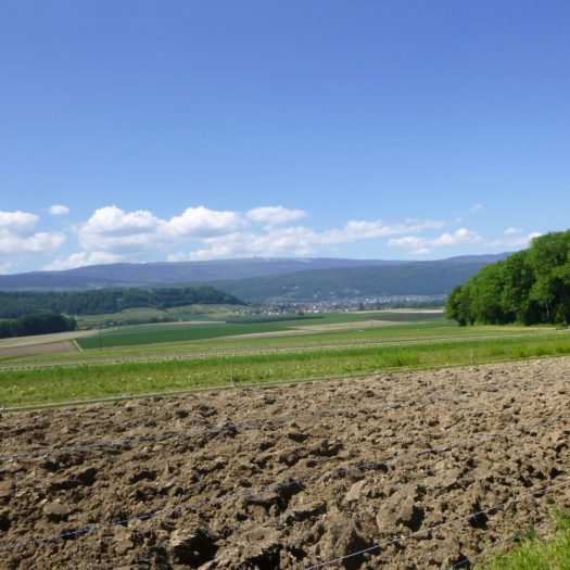
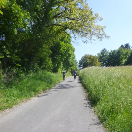
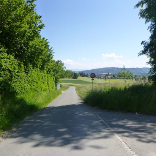
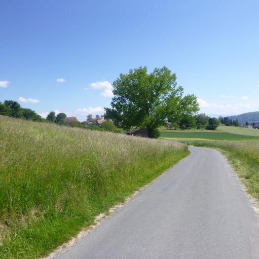
This modest yet determined road gently slopes up, following the contours of the woods that seem to watch over it. It runs along the edges, weaving between trees and open spaces. Cyclists, like butterflies drawn to the season’s sweetness, are numerous on this route, especially on weekends, when the sun invites escape. Below, fields stretch infinitely, carpeting the landscape with a green, undulating sea. In the distance, the Jura ridges draw a bluish silhouette, like a distant promise floating above the sparkling waters of Lake Neuchâtel and Lake Biel.
|
 |
 |
|
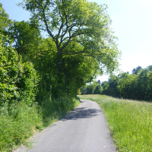
Further on, beyond a long straight stretch, the road once again merges with the woodlands, like a well-kept secret revealed only after a measured patience. It then gently slopes up, turning with the hill that envelops it.
|
 |
 |
|
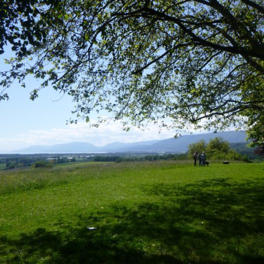
Just above, the road opens onto a clearing, a space designed where nature and man meet in harmony. A park has been shaped here, a true haven of peace where one can hear the laughter of children and the soft clinking of glasses on picnic tables. This place is an oasis of simple happiness, a refuge for local families seeking tranquility.
|
 |
 |
Beyond this convivial spot, the gaze extends further, crossing the rolling fields until it reaches the peaceful waters of Lake Neuchâtel. There, on the horizon, the lake sparkles under the light, like an inner sea, mysterious and alluring, intermittently revealing its silvery reflections.
|
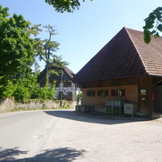
The road then begins its descent from the hill, gradually revealing the first buildings of Ins and its surroundings. Mostly, it’s the imposing farms, discreetly nestled under their wide red and brown roofs, that generously extend across the slopes of the neighboring hill. Their arrangement, calculated yet unostentatious, evokes generations of rooted farmers, masters of these fertile lands.
|
 |
 |
|
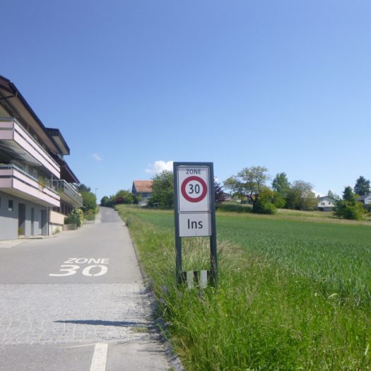
At the bottom of the dale, the road resumes its ascent, this time towards the small town. It winds between modern, recent homes that align with a certain sobriety along the climb. Here, the slope becomes more noticeable, serving as a reminder of the region’s capricious relief, but also as a metaphor for humanity’s effort to tame this demanding nature.
|
 |
 |
|
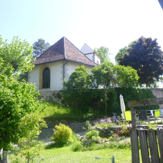
At the top of the hill, the road winds between affluent farms, true rural monuments, whose sturdy stones tell a story of opulence and prosperity. Not far away, hidden among the foliage, a solitary temple bears witness to the Protestantism that permeates this Bernese land. The canton, marked by the Reformation, retains visible traces of its faith while remaining deeply rooted in rural traditions.
|
 |
 |
|
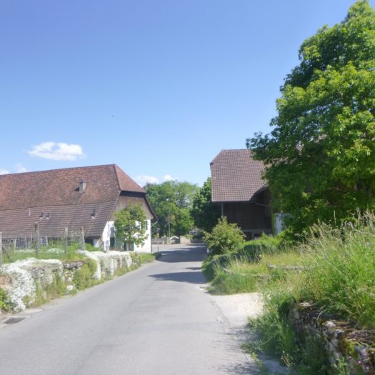
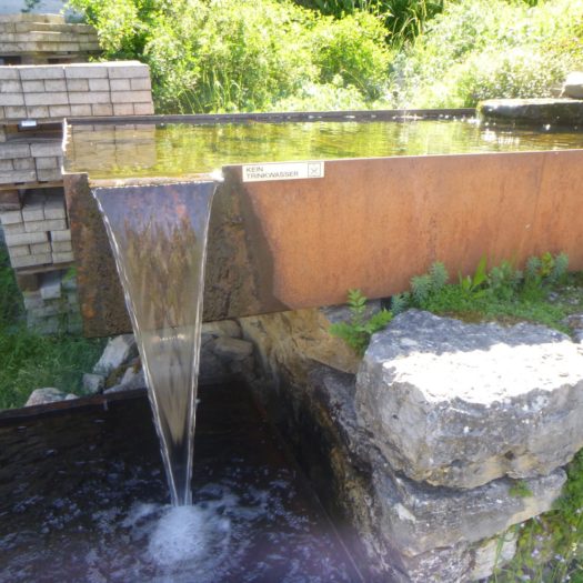
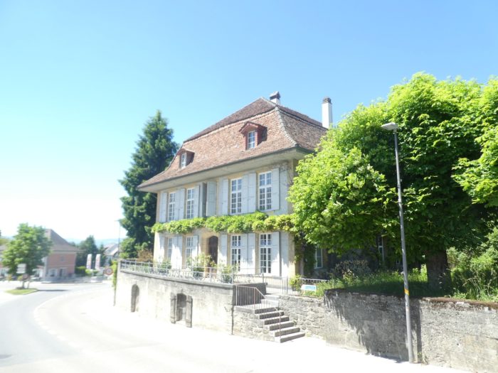
Then the road begins a long, gentle descent towards the heart of Ins, or Anet, as it is called in French. It is an extensive, lively small town with around 3,500 inhabitants. This place is marked by the presence of Albert Anker, the Swiss painter celebrated for his tender and realistic portrayals of Swiss rural life. Here, the imposing farms blend with patrician houses in a perfect balance, offering a typical image of the canton of Bern, where the austere elegance of wealthy families merges with peasant robustness.
|
 |
 |
|
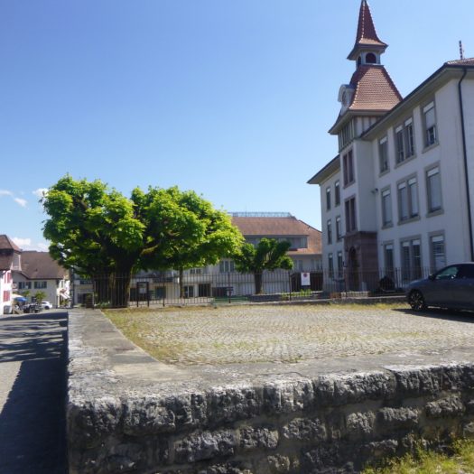
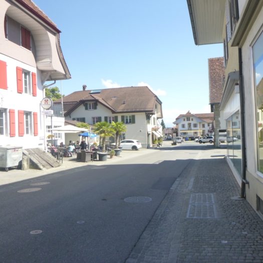
Further down, the road eventually reaches the center of the town, where life seems to unfold in gentle tranquility. On restaurant terraces, sometimes the murmur of conversations accompanies the light clinking of glasses, echoing the ambient serenity.
|
 |
 |
|
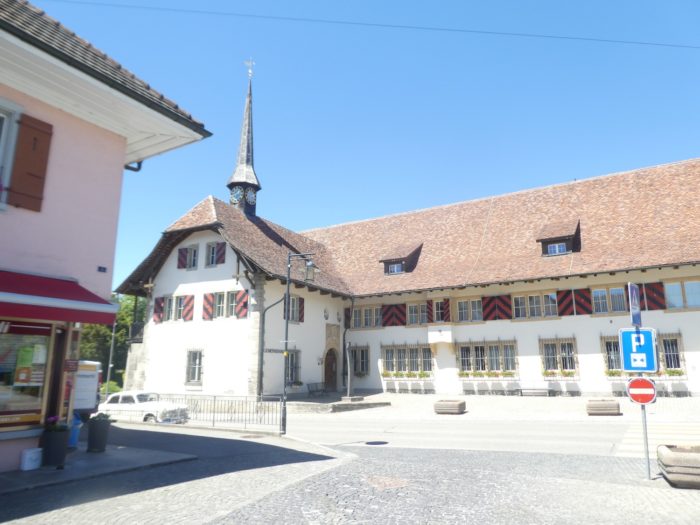
The town hall, massive and imposing, dominates the landscape. Its architecture reflects the prosperity of this town, which one can infer is nourished by the activities of wealthy market gardeners who have established their homes here. The building, in its grandeur, seems to mirror this land: generous, solid, and deeply rooted in a tradition of agrarian wealth.
|
 |
 |
|
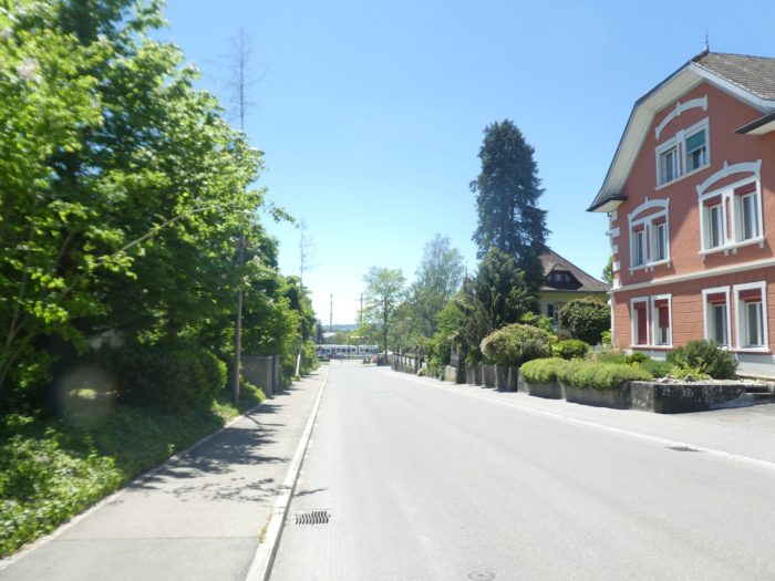
From the town center, a gently sloping street stretches towards the station, slightly set back like a discreet sentinel of modern transport, away from the bustling heart of the small town. This descent, bordered by modest homes and greenery, seems to open a path to the outside, to more distant horizons.
|
 |
 |
|
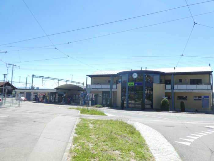
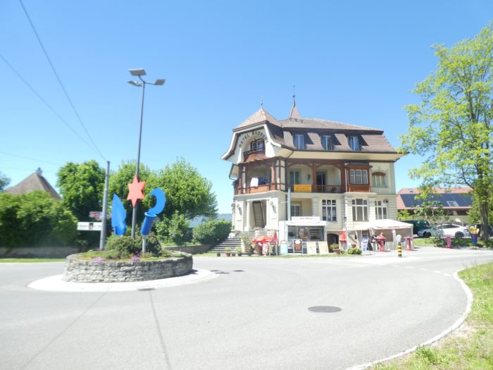
Ins is a modest yet essential rail hub, connected by train to Biel, Bern, and Neuchâtel, providing its residents and travelers with a smooth connection to these major Swiss cities. Here, in Switzerland, public transport is a given, a service that operates with the precision of a watchmaker. This is not always the case on many other Camino routes, where one sometimes encounters glaring deficiencies in mobility. Here, travel is seamless, with a reliability that is almost reassuring.
|
 |
 |
|
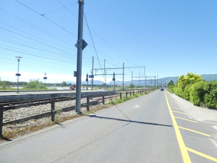
The Three Lakes Trail, this historic and picturesque route, follows the path of the rails for a moment, as if to remind that travel, once slow and arduous, can now be accomplished at high speed. Soon, the road crosses the tracks, detaching from the metal line to resume its own, wilder, more intimate course.
|
 |
 |
|
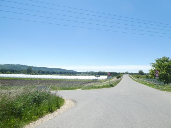
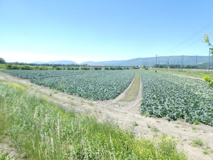
The route continues, bordering a road leading to a highway ramp, a modern junction between this peaceful countryside and the motorway network connecting Neuchâtel. This highway seems almost an intrusion into the tranquility of the area but is also a gateway to the fertile Seeland plain. There, on the horizon, fields of vegetables stretch as far as the eye can see, vast cultivated expanses, where Seeland reveals its agricultural richnesse.
|
 |
 |
Section 4 : At the edge of the Canton of Bern
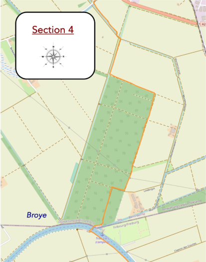
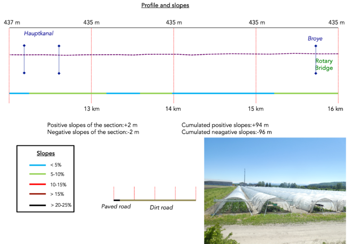
Overview of the route’s challenges : easy terrain.
|
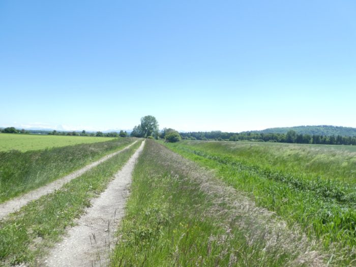
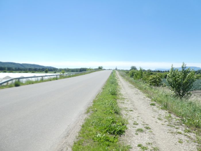
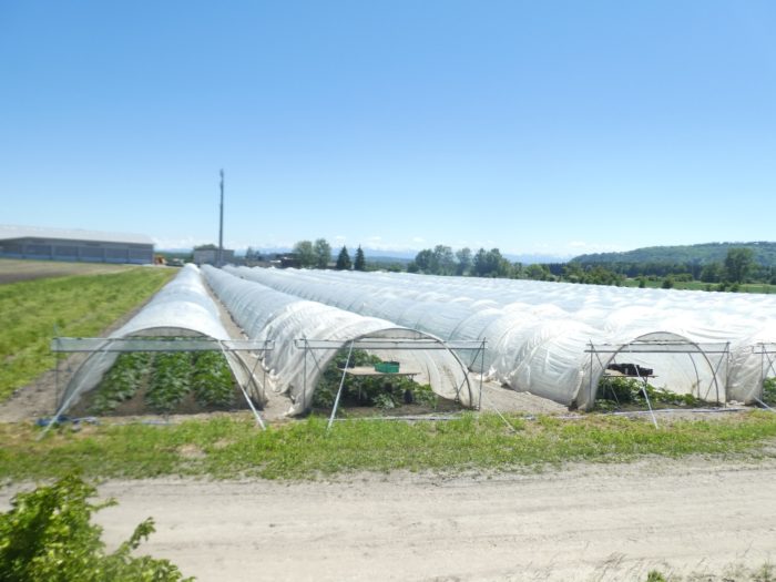
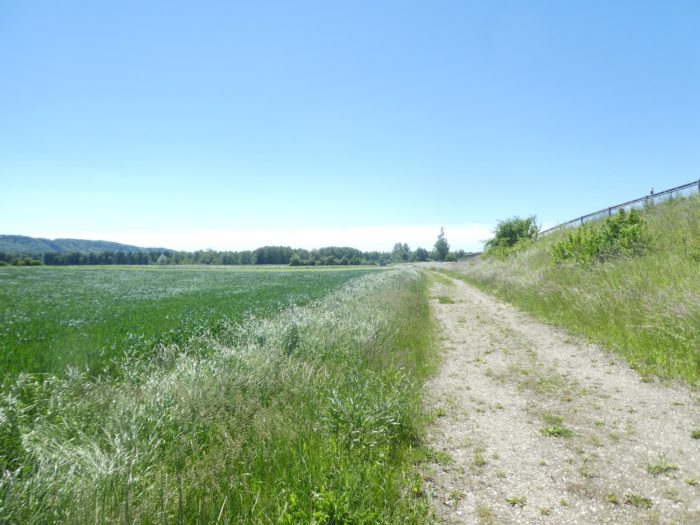
From here, the landscape suddenly flattens, as if nature’s hand had smoothed out every bump. The path, initially paved, stretches endlessly alongside meticulously arranged rows of vegetables and cold greenhouses, like modest glass cathedrals sheltering crops under a capricious sky. The straight lines seem to stretch into infinity, overwhelming in their regularity.
|
 |
 |
|
The ground is crisscrossed with irrigation channels, the true veins of this agricultural landscape. These artificial furrows, methodically dug, nourish the earth and keep it alive. Soon, the asphalt gives way to a beaten track, closer to nature and more rooted in the soil. The transition is almost seamless, like a return to the origins.
|
 |
 |
|
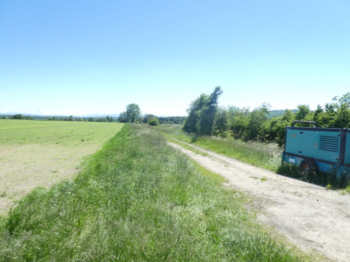
The view, unobstructed, extends far away to the snow-capped peaks of the Alps, outlined on the horizon like a majestic mirage. Sometimes, the path nears the multiple branches of the Hauptkanal, this imposing canal that generously irrigates the region, a complex and vital network for vegetable cultivation.
|
 |
 |
|
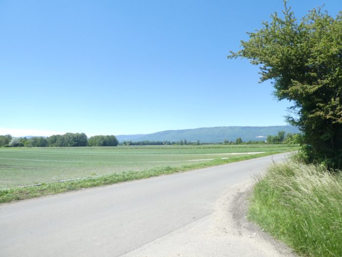
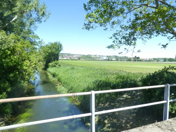
A little further on, the Three Lakes Trail briefly returns to asphalt, near the main branch of the Hauptkanal. This canal, with its countless branches, is the beating heart of Seeland’s crops. Here, rain alone isn’t enough to quench the vegetables’ thirst. Water, carefully guided, promises a bountiful harvest.
|
 |
 |
|
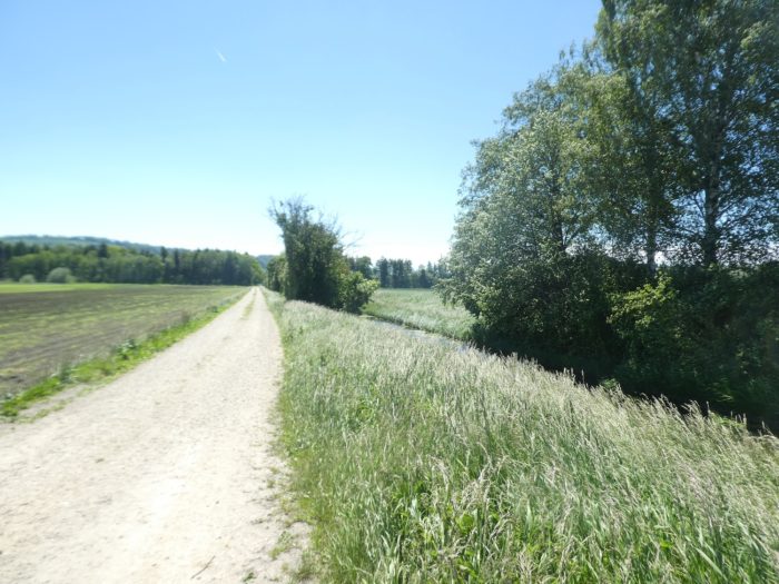
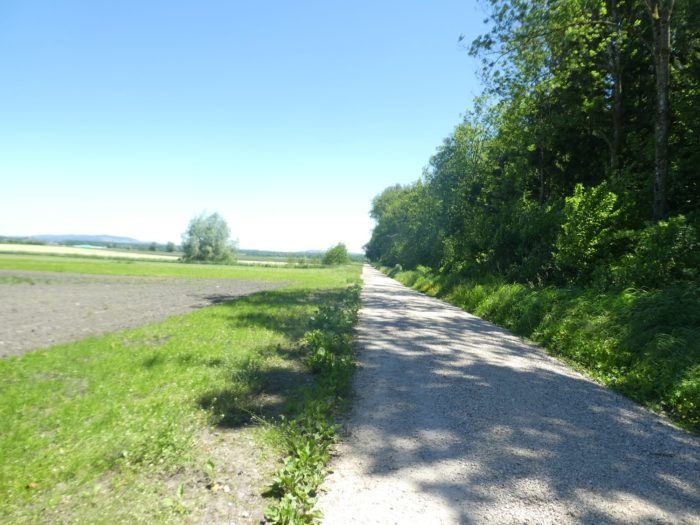
But the beaten track soon reasserts its presence, sometimes running alongside the canal, sometimes bordered by hedges lining an endless straight. This road seems to stretch beyond the possible, a straight line so long and monotonous that it evokes the tedium of an endless day. Yet, thinking of those vegetables you love to savor, you accept this monotony with a certain grace, almost out of gratitude.
|
 |
 |
|
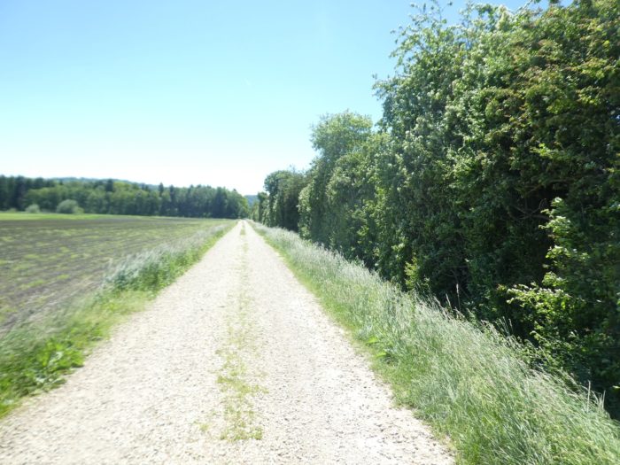
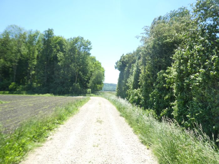
What can you do? On these endlessly repeating paths, emotions fluctuate. You love, you hate, or you detach, indifferent. And yet, surprise sometimes lurks around the bend. A slight turn on the horizon is enough for boredom to dissipate and for a new goal to invigorate your thoughts. Every curve becomes a promise of the unexpected.
|
 |
 |
|
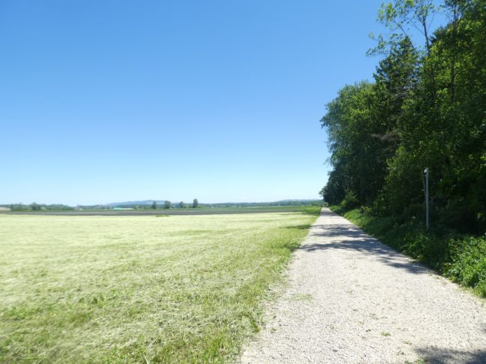
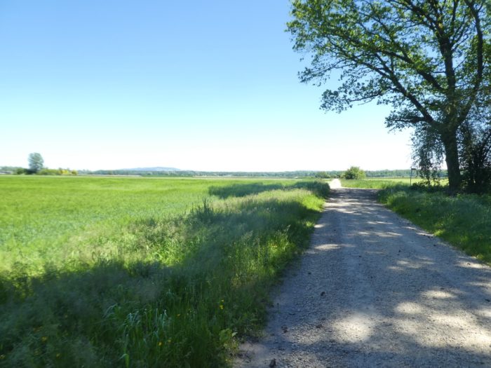
When the road turns at a right angle, a new stretch of beaten track opens before you, extending toward a distant horizon, leading inexorably to an imposing agricultural complex. This gigantic farm, solitary in the vast plain, becomes your compass, a fixed landmark in this sea of flatlands. Each step seems measured by the diminishing size of this building on the horizon, as you progress slowly on this endless, flat path.
|
 |
 |
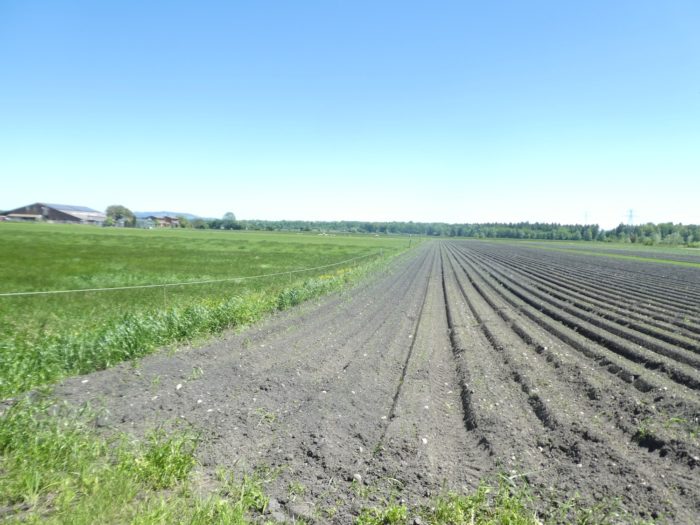
The soil here in Seeland is of remarkable richness, almost black, composed of a subtle mix of fine silt, clay, and humus. This light but fertile soil is a paradise for vegetable cultivation, providing crops with everything they need to thrive. You walk on this dark carpet, aware of the wealth it holds beneath your feet.
|
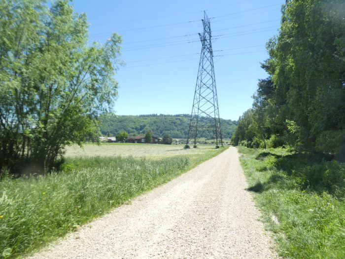
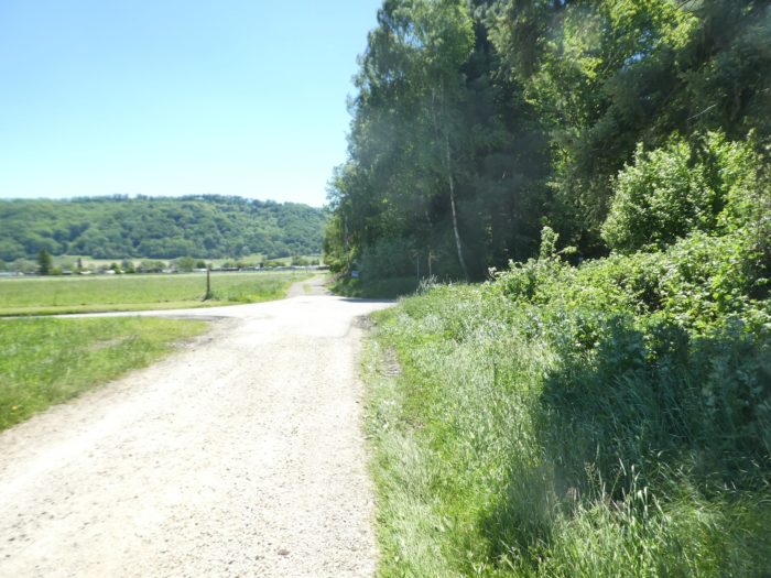
Gradually, the farm that served as your beacon begins to fade, swallowed by the distance. The path, meanwhile, seems to draw closer to the river, as if drawn by its distant murmur.
|
 |
 |
|
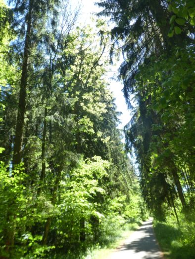
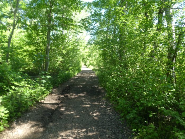
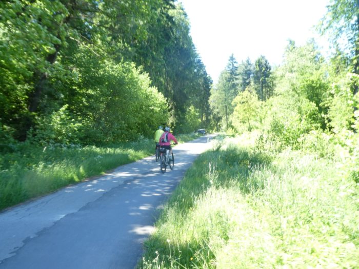
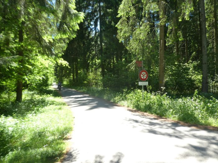
At this point, a detour presents itself: you might wander among the vegetable fields, to get lost in this labyrinth of produce. But the route has other plans. A small paved road suddenly slips under the trees, carrying you into a forest of majestic deciduous trees and slender spruces. Here, the landscape changes; the road winds beneath the elegant canopies of giant beeches, maples, hazels, and hornbeam shoots, creating a true green tunnel. Cyclists flock here in season, drawn by this restful flatness that makes the effort less strenuous and the journey more pleasant.
|
 |
 |
|
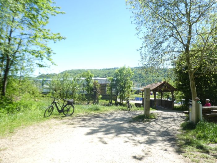
The road eventually leads you to the Three Lakes campsite, a peaceful stop near the Rotary Bridge.
|
 |
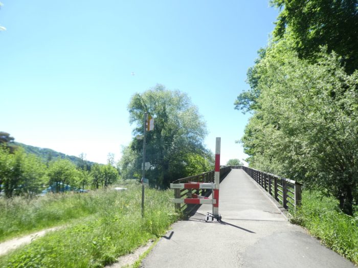 |
| This bridge, a true architectural masterpiece, is a 250-meter wooden arch of striking elegance. Inaugurated in 2002 for the Swiss National Exhibition, it was dismantled and reconstructed here, piece by piece, serving not only as a crossing but also as a symbol of ingenuity and heritage. |
 |
 |
|
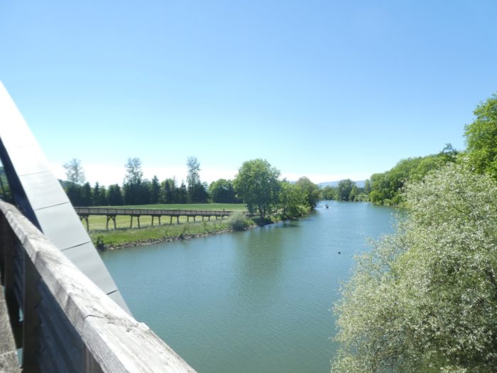
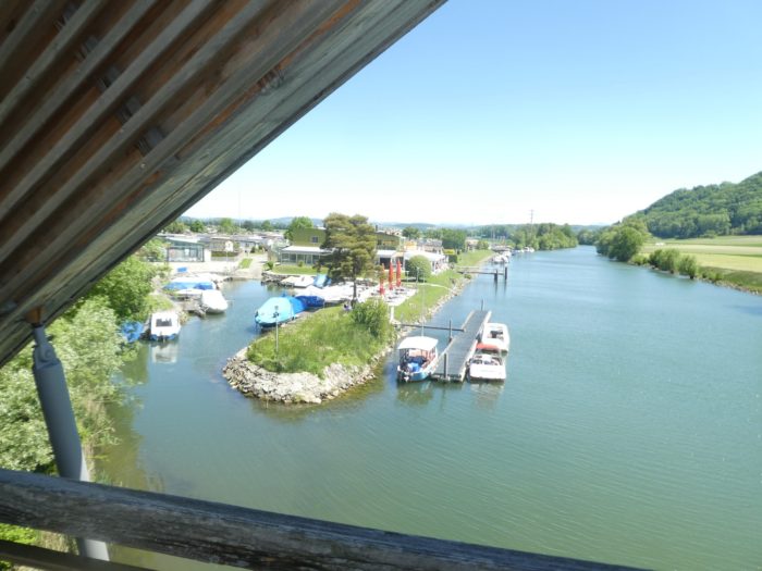
The Broye Canal, marking the border between the cantons of Waadt, Freiburg, and Bern, is a human-made creation, a false river shaped to control the flow of water. Further on, you’ll have the chance to trace the Broye itself, but here it flows into Lake Murten, crossing its tranquil waters before emerging transformed into a canal about 8 kilometers long, before joining Lake Neuchâtel. This artificial route, both practical and picturesque, gently alters the natural landscape. Just across the impressive wooden bridge, the campsite extends in a peaceful atmosphere, attracting those seeking rest by the water.
|
 |
 |
|
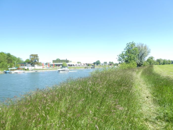
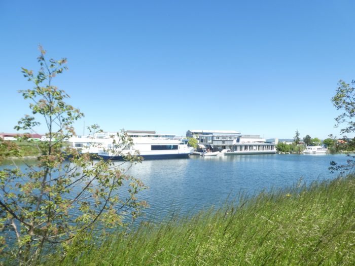
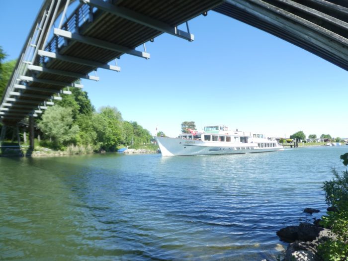
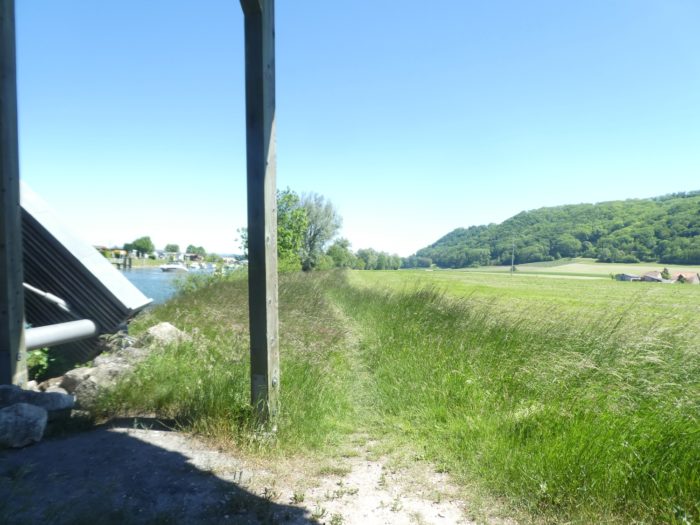
The path leads you across this bridge, crossing the canal, toward the opposite bank. A new stage begins, heading towards Sugiez and Murten. The trail meanders through tall grasses, rarely cut, offering a wild and somewhat disordered vegetation, reflecting the coexistence between man and nature. Yet, even here, in this relative idleness, the vegetable crops of Seeland continue their reign, with vegetables thriving in this fertile soil. On the other side of the canal, the small Three Lakes station stands, a water crossroads where cruise boats are numerous, especially on sunny weekends. The waters welcome these boats that glide smoothly, bringing curious visitors eager to explore the region from a different angle, floating between lake and sky, in this landscape where nature and human constructions harmoniously meet.
|
 |
 |
Section 5 : Along the Broye Canal
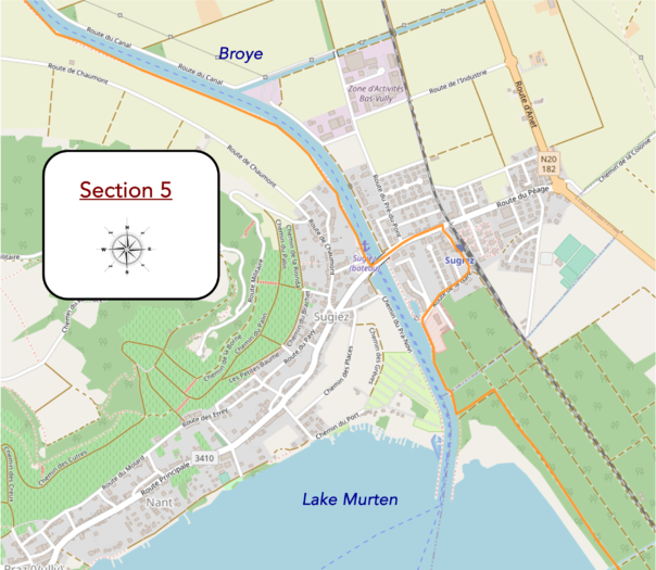
Overview of the route’s challenges : easy terrain.
|
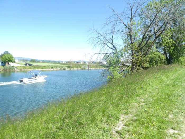
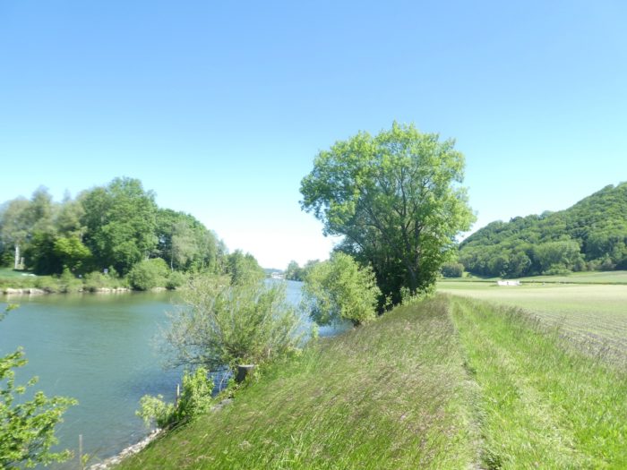
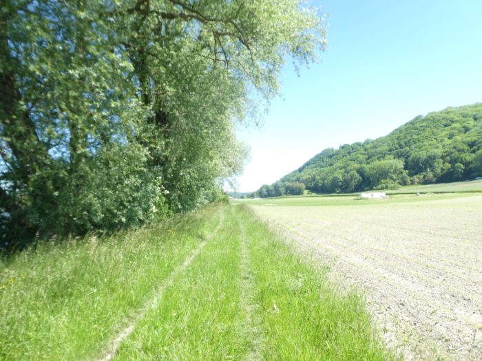
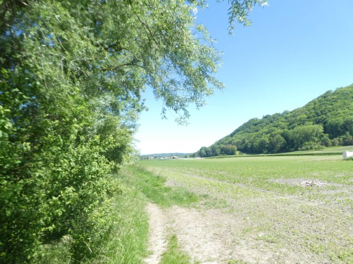
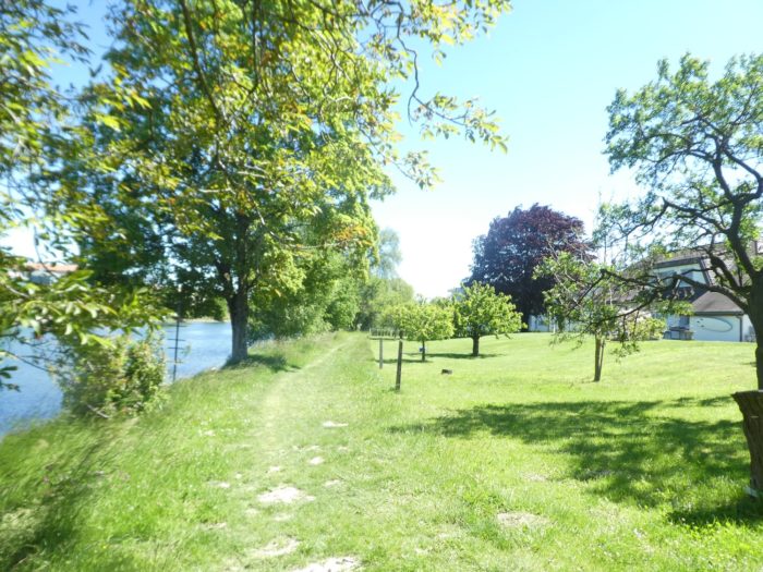
Walkers are granted a favor: a ribbon of tall grasses that lines the river, extending under the benevolent shade of tall willows with drooping branches and tangled bushes. This small vegetal chaos seems to invite idleness, a return to raw nature. Yet, behind this apparent disorder, the strict order of vegetable cultivation continues to rule over the vast plain. Here, vegetables grow with clock-like regularity, nourished by the fertile soil and meticulously maintained canals.
|
 |
 |
|
In the distance, through the light mist on the horizon, the village of Sugiez gradually appears, like a promise of arrival. Its still-blurry contours seem to grow as you advance.
|
 |
 |
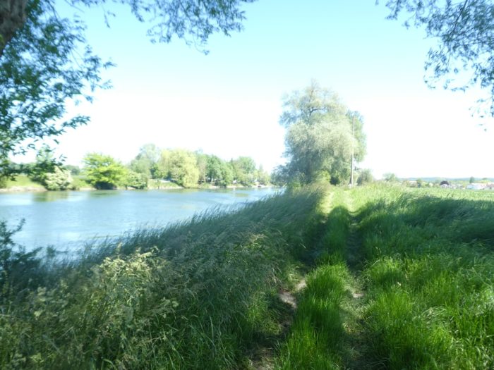
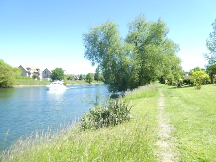
| However, the path, chaotic and uneven, seems to hesitate before approaching the village. On the beautiful blue canal accompanying your walk, cruise boats become rarer at this height. After crossing the Rotary Bridge, most vessels opt to continue towards Lake Neuchâtel, leaving this section of the canal quieter, almost deserted. |
 |
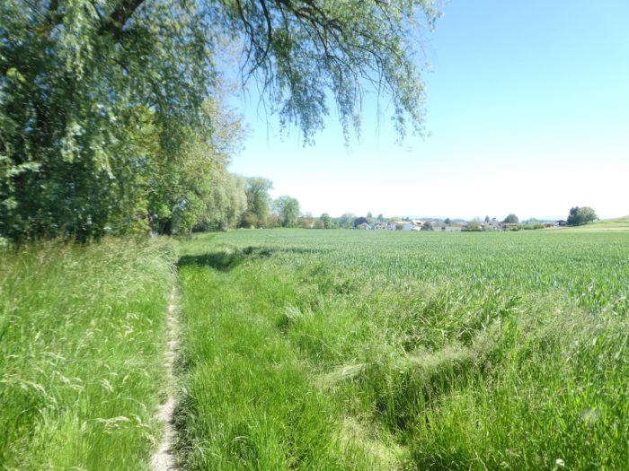 |
| Soon, the first houses of Sugiez emerge, nestled at the river’s edge as if seeking shelter under the protective wing of the waters. The village, tranquil and discreet, seems to welcome you gently, its roofs hidden beneath the tree branches. |
 |
 |
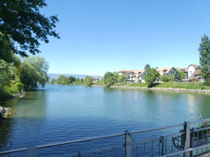
| Under the century-old maples, you spot the elegant profile of the landing stage, perched on the canal. It almost seems to float, a stop for travelers from the water, a gateway between land and wave. |
 |
 |
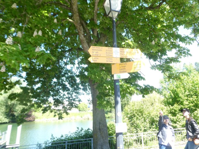
| At this point, a sign indicates that Murten is 1 hour and 20 minutes away. You need only follow the direction to Sugiez, letting the path guide you, before crossing the Broye Canal once more. |
 |
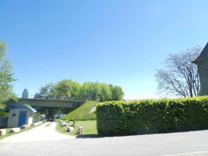 |
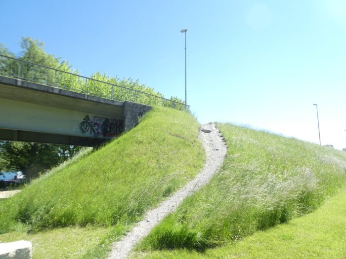
| A steep mound suddenly slopes up, demanding a final effort to lift you up to the bridge that proudly spans the canal. |
 |
 |
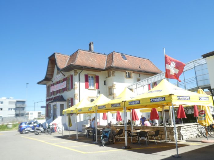
| From this bridge, a new direction becomes apparent: towards the nearby Sugiez train station, just a few steps away. This stretch, although necessary, may not be the most memorable of the journey. But it doesn’t matter, as every step brings you closer to your final destination. |
 |
 |
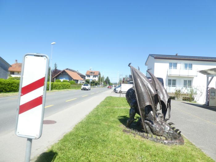
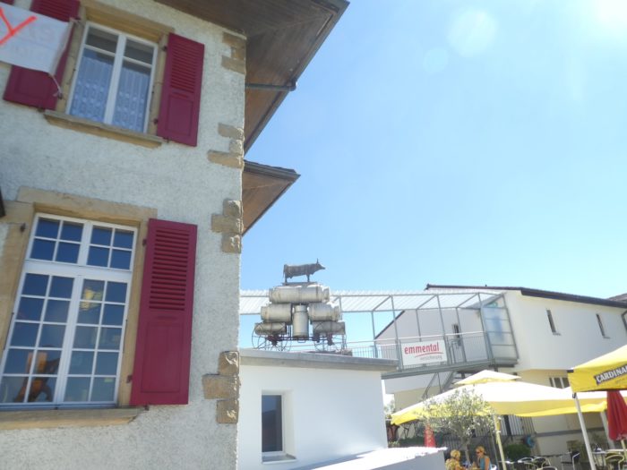
IHere, at a bend in the path, you encounter a surprisingly quirky tribute: a kitschy statue celebrating cheese. It’s a colorful nod to the local tradition, almost naive in its exuberance, yet undeniably endearing.
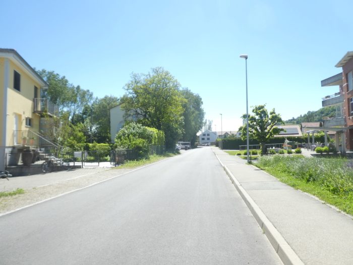
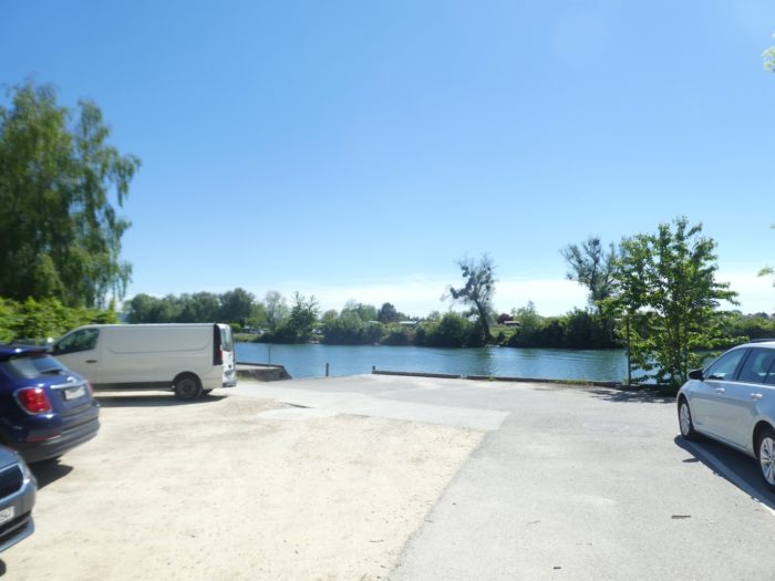
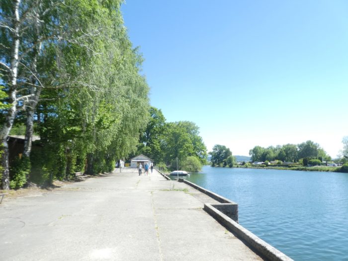
| From the station, a small road gently guides you back to the river, a welcome return. Reconnecting with its peaceful banks is a true pleasure, like reuniting with an old travel companion. |
 |
 |
| The route then continues alongside a few warehouses, discreet witnesses to the economic activity unfolding in the background, while the river continues to meander peacefully beside you. |
 |
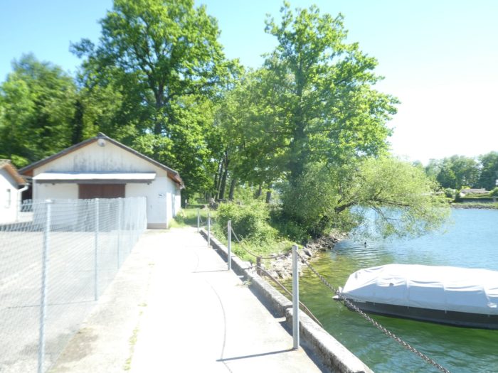 |
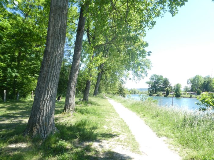
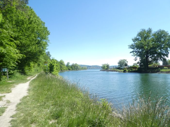
| Soon, the path softens and immerses you under a natural arch formed by imposing oaks and majestic beeches, true guardians of the passage. On the horizon, the mouth of the Broye appears to emerge from Lake Murten, inviting you to continue a little further. |
 |
 |
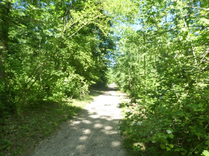
| Further on, the path suddenly turns at a right angle, plunging into a dense and mysterious undergrowth. The darkness of the place contrasts with the lake’s light, offering a soothing, almost intimate atmosphere. |
 |
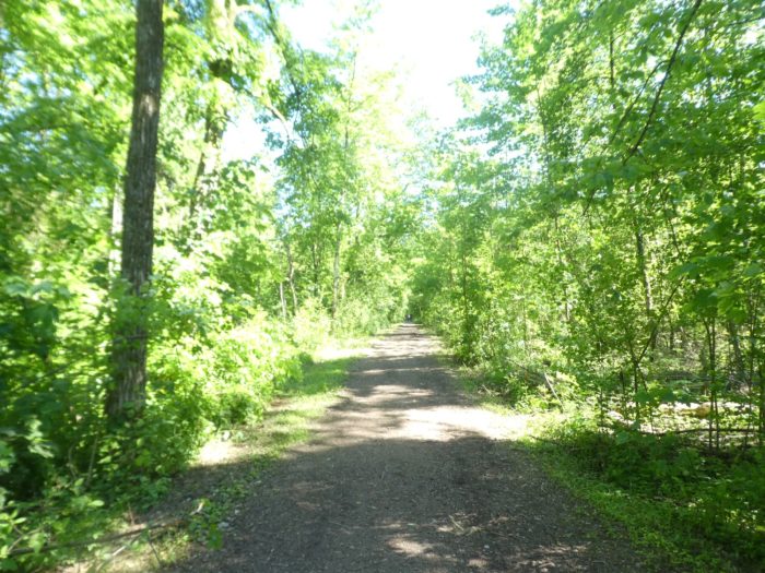 |
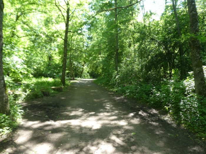
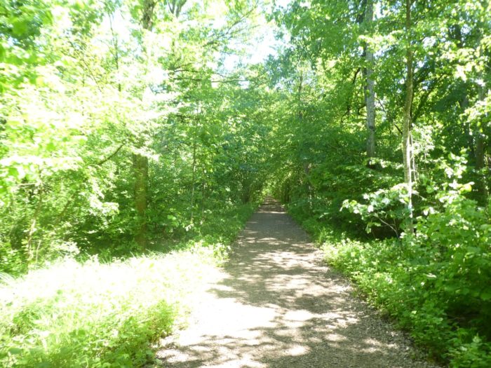
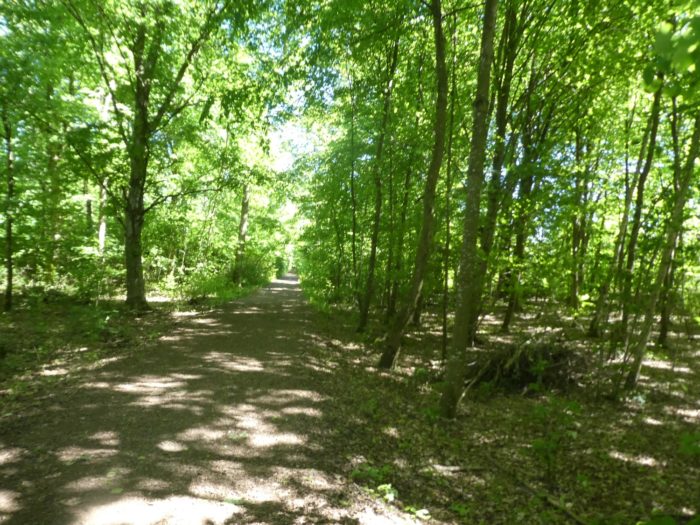
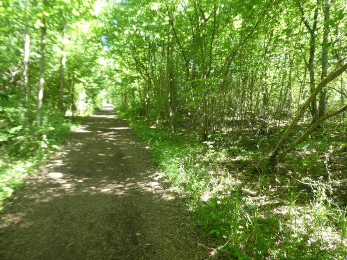
| This forest is a true delight for walkers. The ground is flat, covered with soft earth that cushions each step. In the beneficent shade of the tall deciduous trees, the path is wide and welcoming. Here, you will likely encounter many Sunday strollers, all drawn by the coolness and tranquility of these woods. |
 |
 |
Section 6 : In the underbrush before the shore of Lake Murten
Overview of the route’s challenges : easy terrain.
|
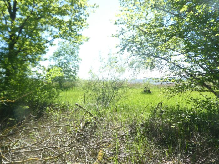
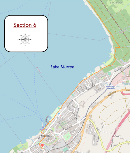
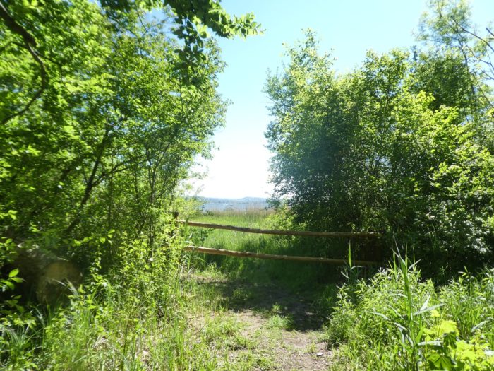
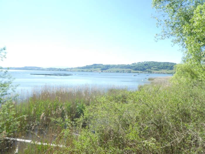
The underbrush, dense and lush, opens occasionally, offering fleeting glimpses of the marshy shoreline covered with reeds. These inaccessible landscapes, bathed in a soft and subtle light, seem to belong to another world, preserved from human footprints. It is reassuring to find that on the shores of Swiss lakes, wild areas still remain, untouched by real estate developers. These refuges, protected by nature itself, are true sanctuaries.
|
 |
 |
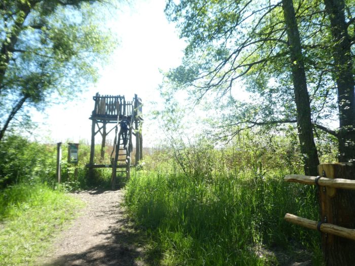
| Further on, a wooden observation tower has been set up, discreet yet perfectly integrated into this natural setting. From there, you can admire the pristine nature stretching beneath you: the lake, tranquil and reflecting the sky, while on the horizon, the gentle silhouette of Mount Vully stands like a silent guardian of this unchanging landscape. |
 |
 |
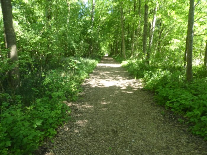
| Then, it’s back into the underbrush, denser still, where beeches dominate. Packed tightly together, often in dense clusters, they form impenetrable vegetative walls, resembling sardines lined up with natural precision. Here and there, small openings reveal the reeds along the shore, briefly eclipsing the green darkness of the underbrushs. |
 |
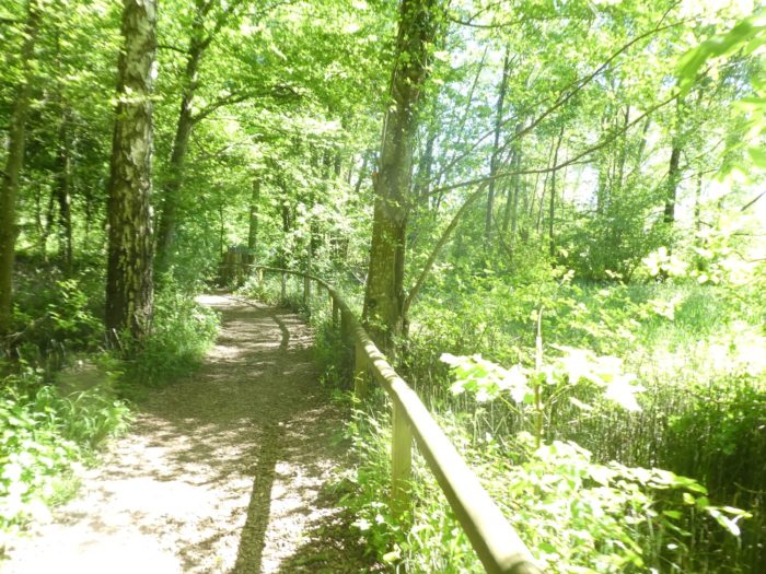 |
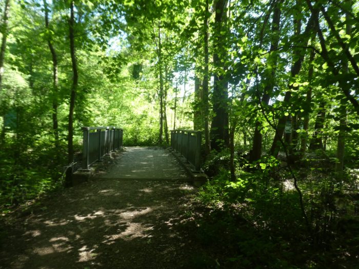
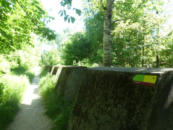
| As you advance, the path becomes more capricious. It forsakes its straightness, beginning to meander, following the contours of the terrain, crossing small streams that murmur at your feet. At one point, you come across a tank defense line, a remnant of the past that the Swiss maintain with notable pride. These structures, remnants of a time when caution guided every move, offer a striking contrast to the natural harmony surrounding you. |
 |
 |
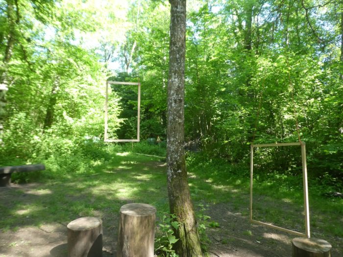
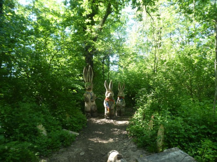
| Soon after, the path gradually loses its wild character. Nature seems to yield a bit of ground to civilization, becoming tamed by ingenious gadgets designed for tourist enjoyment. Here, colorful and clever playgrounds coexist with photographic installations that capture the controlled beauty of the landscape. The laughter of children and the click of cameras resonate under the trees, creating a lively and animated atmosphere. |
 |
 |
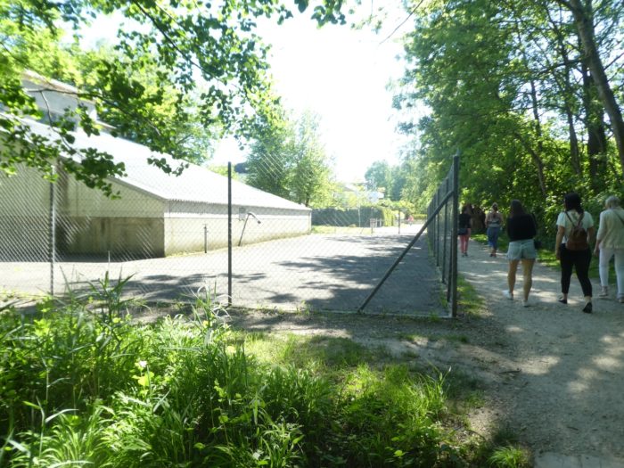
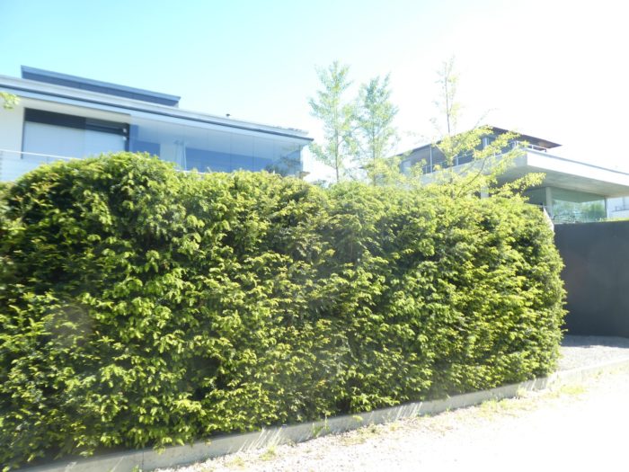
| Further along, the path leaves the woods entirely, and the first villas appear, elegant and almost touching the water. The reeds that once dominated this shore have disappeared, replaced by luxury residences whose terraces offer stunning views of the sparkling lake. Here, development has taken precedence over nature, replacing marshlands and vegetation with manicured lawns and modern architecture. |
 |
 |
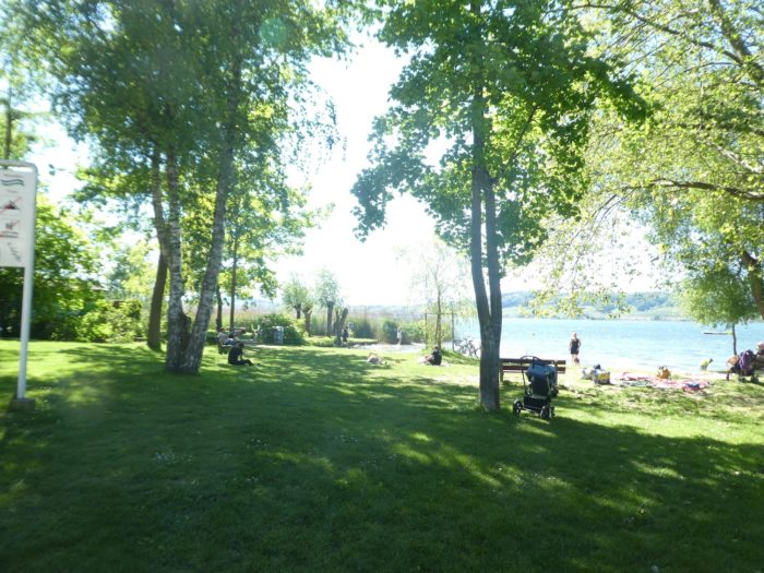
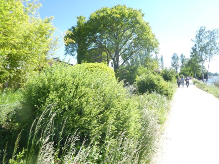
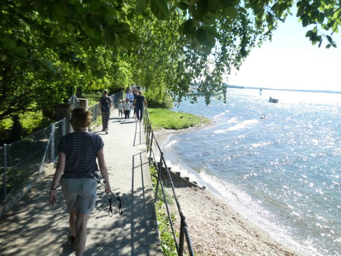
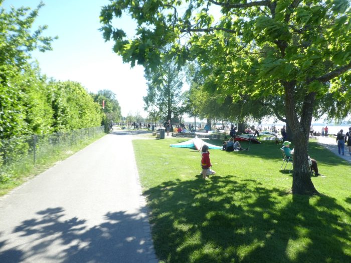
| The route then continues through a large park that extends to the center of Murten. This park, a true green gem, also serves as a beach. It is an oasis of grace, serenity, and beauty, where humanity seems to have found a delicate balance between leisure and respect for the natural setting. |
 |
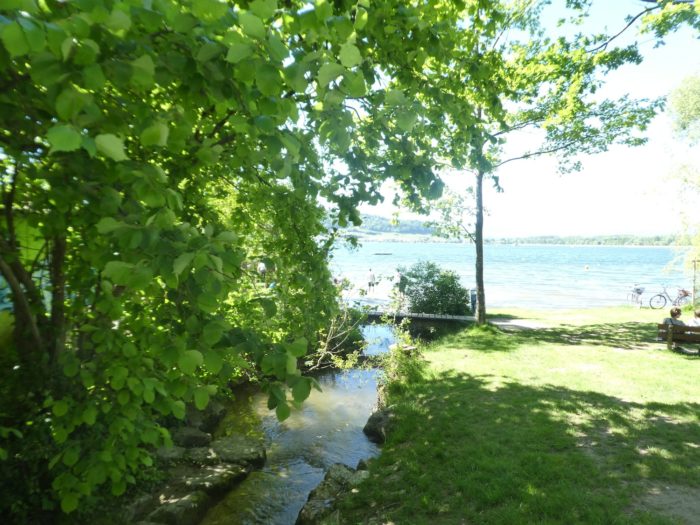 |
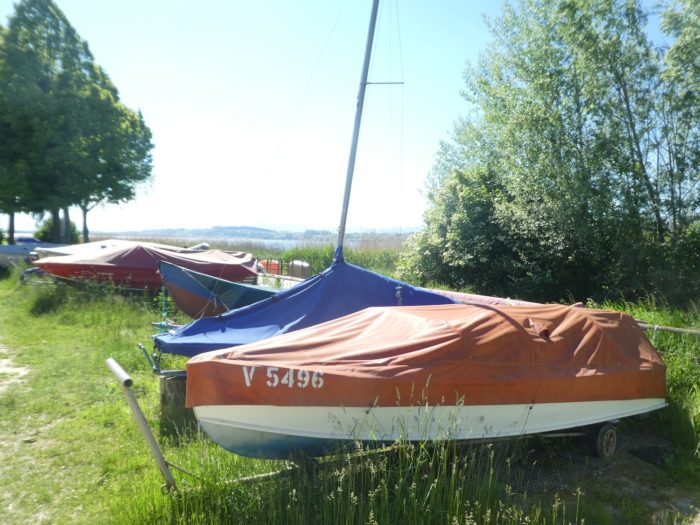
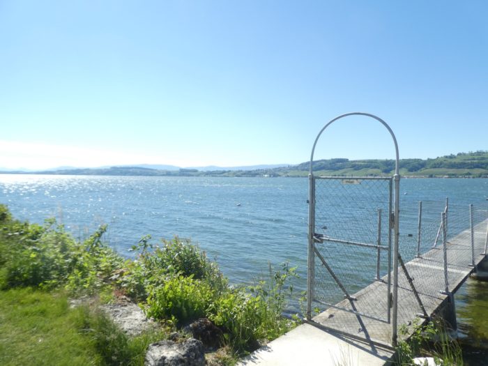
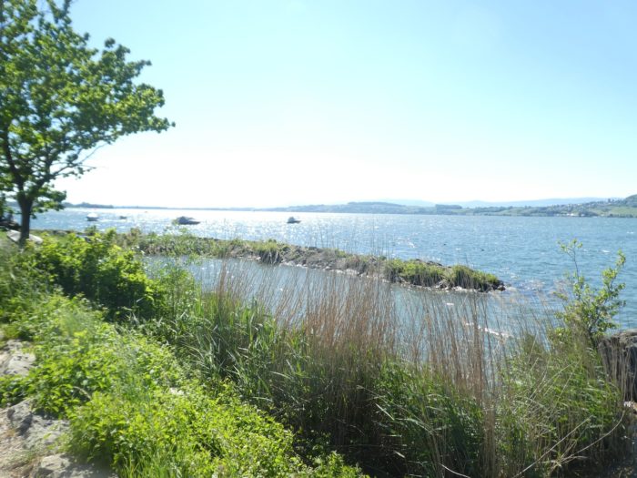
| The grass here is soft, a green velvet underfoot, while the lake, perfectly tranquil, mirrors the sky like a mirror. Here and there, private docks extend discreetly into the water, silent witnesses to the privilege of wealth. Far from being ostentatious, these piers blend harmoniously into the landscape, subtly reminding you that direct access to the lake is not available to all. |
 |
 |
 |
 |
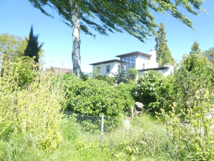
| On the heights, beautiful modern villas nestle among the lush vegetation, their clean lines sometimes hidden by the verdant foliage that surrounds them. These elegant and contemporary residences almost blend into the natural scenery, as if nature itself had decided to embrace and camouflage them in its embrace. |
 |
 |
As you continue your journey, you will pass La Cabane no 7, one of the small structures that adorned the shores of the lake during the Expo02 in Biel, just like the Rotary Bridge. These ephemeral structures were designed to host an exhibition of Swiss churches, adding a spiritual touch to the event. Today, La Cabane has found a new role as a space for cultural and artistic exhibitions, preserving its role as a place for creative meeting and exchange.
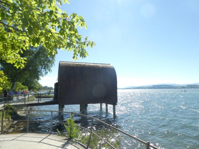
| The path then leads you onto a small footbridge, which seems to float delicately above the water. Ahead, Murten reveals itself, a true urban gem perched on the edge of the lake, seemingly dipping its feet into the sparkling waters. The city appears with a tranquil elegance, a striking contrast to the surrounding natural landscapes. |
 |
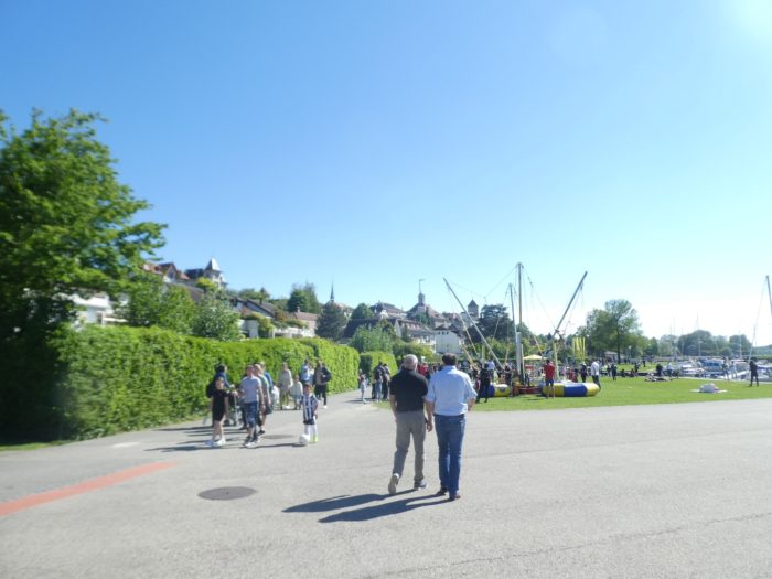 |
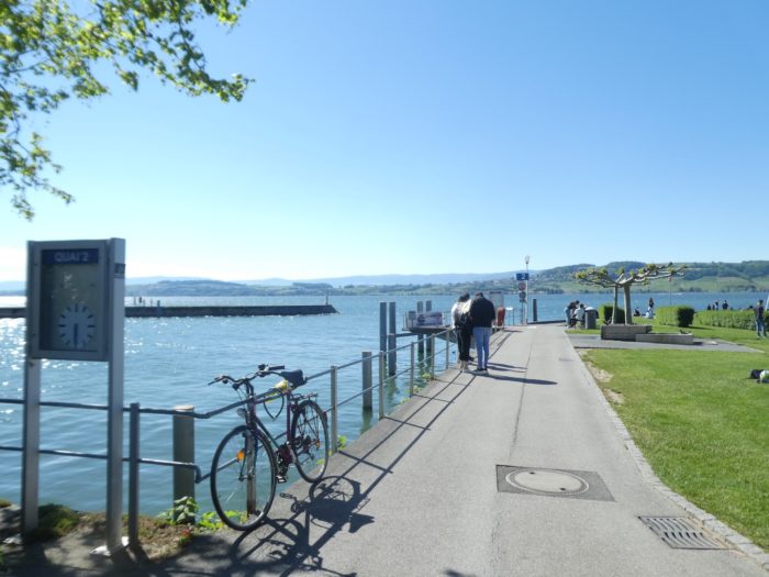
| On the horizon, the beach comes into view, often crowded with visitors seeking relaxation and refreshment. Nearby, the port’s modest yet functional dock completes the scene, facilitating the maritime promises of comings and goings. |
 |
 |
Accommodation on the Three Lakes trail
- Camping Monplaisir, Erlach; 032 338 15 38; Camping, breakfast
- B&B Erlach, Erlach; 032 328 12 79; Guestroom, breakfast
- Hôtel garni Erlach, Erlach; 032 338 15 15; Hôtel***, dinner, breakfast
- B&B Gex-Gross, Bielstrasse101, Ins; 032 313 30 56; Guestroom, breakfast
- B&B Niklaus, St Jodelweg 54, Ins; 032 313 72 79; Guestroom, breakfast
- Famille Aeberli-Marti, St Jodelweg 8, Ins; 079 222 45 59; Guestroom, dinner, breakfast
- Hôtel Kreuz, Dorfstrasse 7, Ins; 032 313 52 08; Hotel, dinner, breakfast
- Hôtel de la Gare, Route de la Gare 2, Sugiez; 026 673 24 24; Hotel***, dinner, breakfast
- Chambres d’hôtes Bongni, Pra Collomb 4, Murten; 079 396 23 62; Guestroom, breakfast
- Chambres d’hôtes Höchner, Vissaulastrasse 56, Murten; 026 670 27 18; Guestroom, breakfast
- Hôtel Ringmauer, Detsche Kirchgasse 2, Murten; 026 670 11 01; Hotel**, dinner, breakfast
- Hôtel restaurant Schiff am See, Ryf 53, Murten; 026 672 36 66; Hotel***, dinner, breakfast
- Hôtel Murten, Bernstrasse 7, Murten; 026 678 81 81; Hotel***, dinner, breakfast
- Hôtel Murtenhof & Krone, Rathhausgasse 1, Murten; 026 672 90 30; Hotel***, dinner, breakfast
- Hôtel Seepark, Fabrikstrasse, Murten; 026 672 66 66; Hotel****, dinner, breakfast
The Three Lakes region remains a destination primarily favored by local tourists. As a result, accommodations are not abundant, except in internationally-oriented tourist towns like Murten, which remains the main focus. However, on this stage of the journey, there are opportunities for lodging and dining throughout the route.
Feel free to add comments. This is often how you move up the Google hierarchy, and how more pilgrims will have access to the site.
|
 |
Next stage : Stage 9b: A brief visit to Murten |
|
 |
Back to menu |


