This is an interactive map that allows you to view the route in the context of Switzerland. The circles correspond to the end of each step. By clicking on these circles, you will have access to the information provided by Google for these places (images, some accommodations, routes, etc.). It could also help you sometimes, even if this information is more for people who travel by car, and not on foot, like you…
Here are the stages from Rorschach to Geneva. Click on the stages to open:
Stage 1 : Rorschach to Herisau
Stage 2 : Herisau to Wattwil
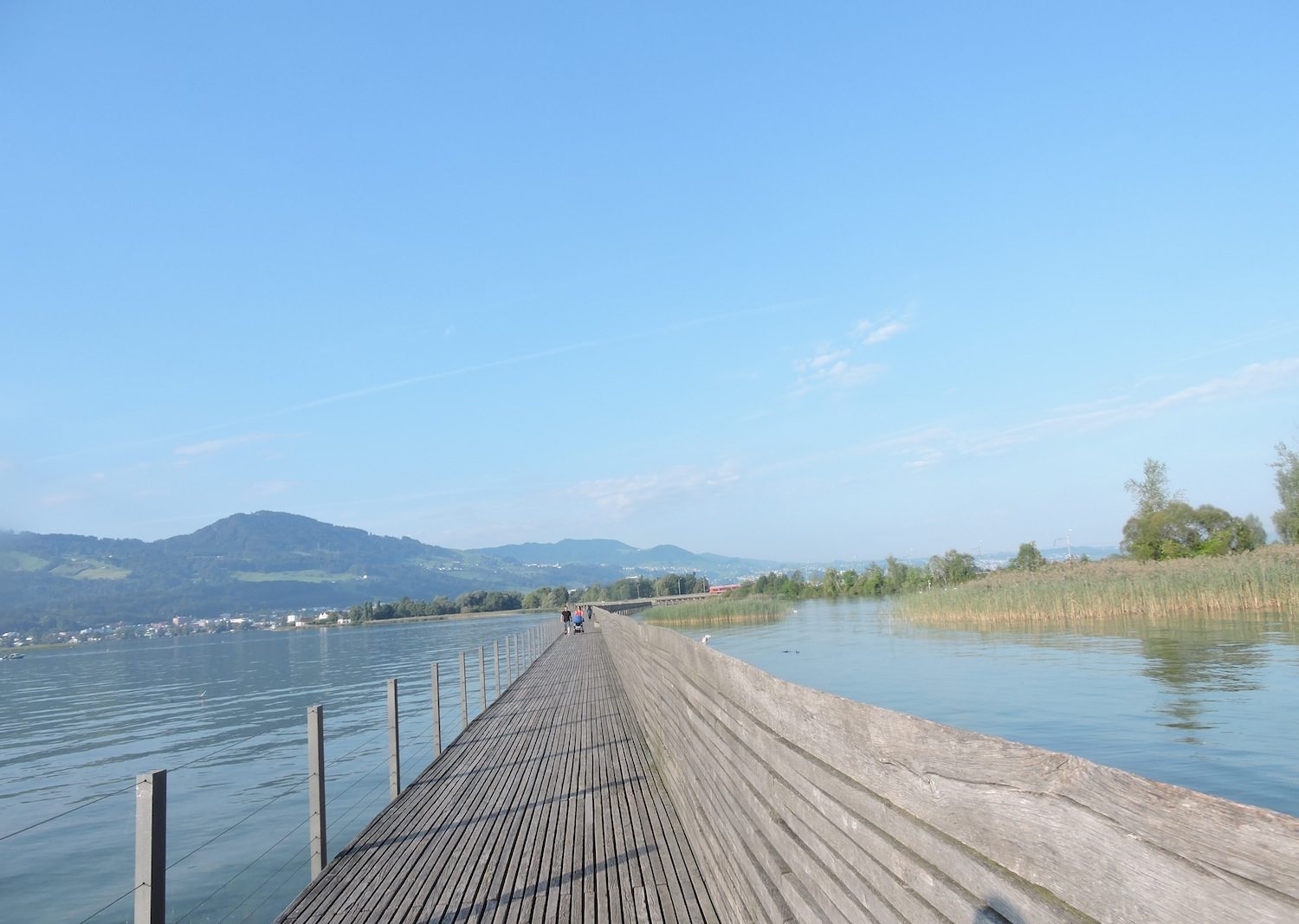
Stage 3 : Wattwil to Rapperswil
Stage 4a : Rapperswil to Einsiedeln
Stage 4b : Schmerikon to Einsiedeln
Stage 5 : Einsiedeln to Brunnen
Stage 6 : Brunnen to Stans
Stage 7 : Stans to Sachelsn
Stage 8 : Sachseln to Brünig Pass
Stage 9 : Brünig to Ringgenberg
Stage 10 : Ringgenberg to Spiez
Stage 11 : Spiez to Wattenwil
Stage 12 : Wattenwil to Schwarzenburg
Stage 13 : Schwarzenburg to Fribourg
Stage 13b : Old City of Fribourg-visit
Stage 14 : Fribourg to Romont
Stage 15 : Romont to Moudon
Stage 16a: Moudon to Lausanne/Lake Sauvabelin
Stage 16b: Montpreveyres to the junction of the new Via Jacobi 4
Stage 16c: Visit to Lausanne
Stage 17 : Lausanne to Rolle
Stage 18 : Rolle to Coppet
Stage 19 : Coppet to Genève
You can either enter the stage of your choice or follow the navigation from one stage to another. Have a good trip.