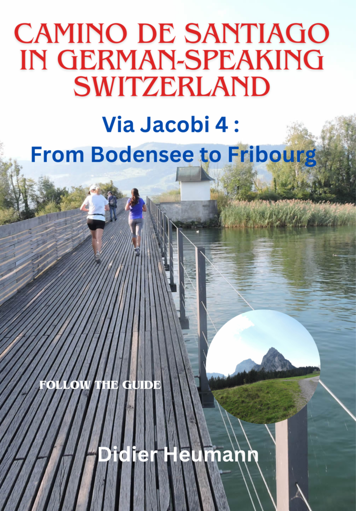
Embarking towards a magnificent medieval city
DIDIER HEUMANN, ANDREAS PAPASAVVAS
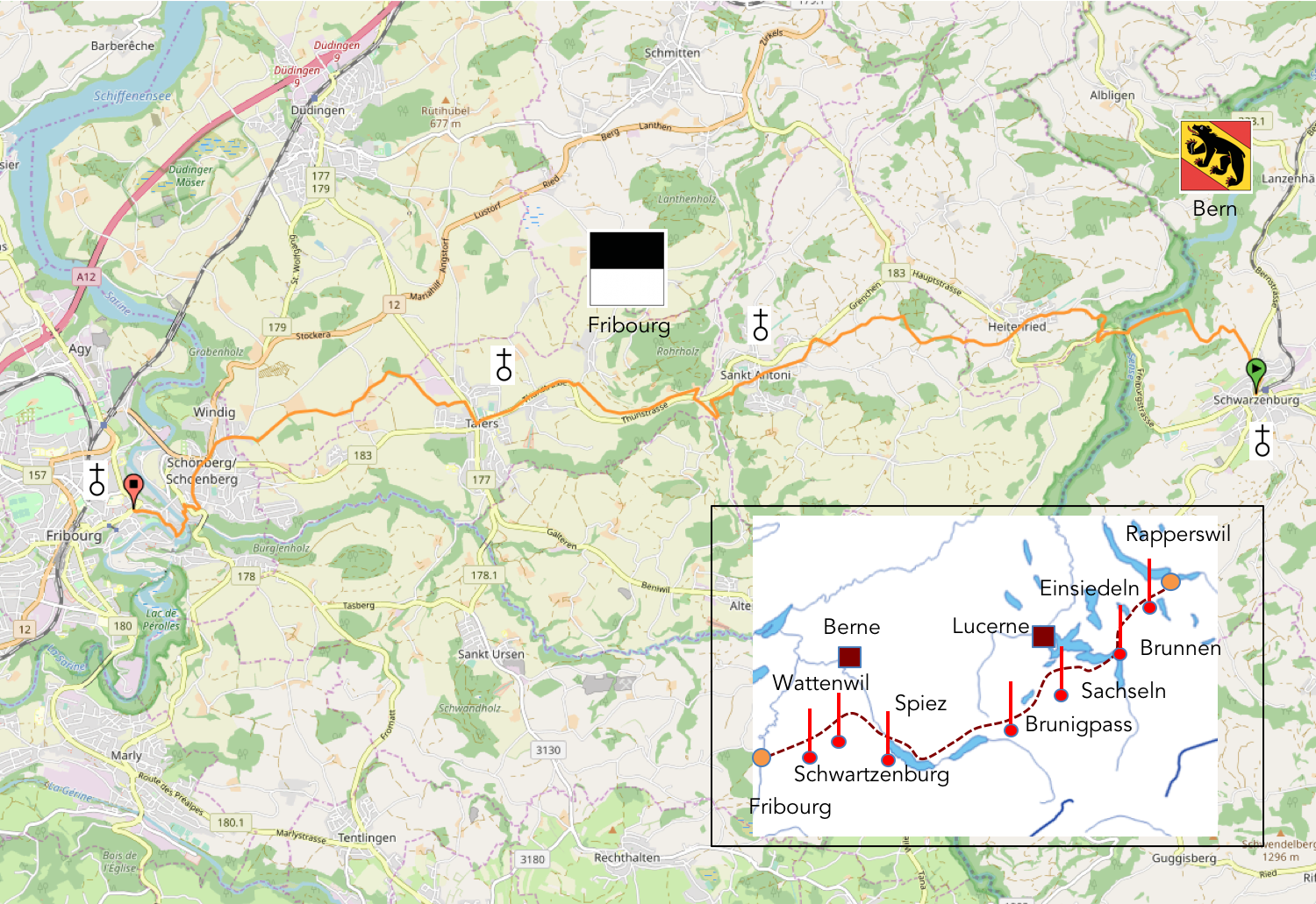
We divided the course into several sections to make it easier to see. For each section, the maps show the course, the slopes found on the course, and the state of the route (paved or dirt roads). The courses were drawn on the « Wikilocs » platform. Today, it is no longer necessary to walk around with detailed maps in your pocket or bag. If you have a mobile phone or tablet, you can easily follow routes live.
For this stage, here is the link:
https://fr.wikiloc.com/itineraires-randonnee/de-schwarzenberg-a-fribourg-cathedrale-par-la-via-jacobi4-32243847
|
Not all pilgrims are necessarily comfortable using GPS or navigating routes on a mobile device, and there are still many areas without an internet connection. For this reason, you can find several books on Amazon dedicated to the major Via Jacobi 4 route, which runs through the heart of Switzerland and over the Brünig Pass. The first guide leads pilgrims through the German-speaking part of Switzerland up to Fribourg, while the second continues through French-speaking Switzerland to Geneva. We have also combined these two books into a compact, lighter, and highly practical version. While the descriptions have been slightly condensed, they remain detailed enough to guide you step by step along the way. Recognizing the importance of traveling light, this latest edition has been designed to provide only the essentials: clear and useful information, stage by stage, kilometer by kilometer. The stages have been carefully adjusted to ensure accessibility and alignment with available lodging options. These books go beyond simple practical advice. They guide you kilometer by kilometer, covering all the crucial aspects for seamless planning, ensuring that no unexpected surprises disrupt your journey. But these books are more than just practical guides. They offer a complete immersion into the enchanting atmosphere of the Camino. Prepare to experience the Camino de Santiago as a once-in-a-lifetime journey. Put on a good pair of walking shoes, and the path awaits you.
|
|
 |
If you only want to consult lodging of the stage, go directly to the bottom of the page.>
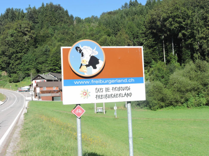
Today, you bid farewell to the expansive landscapes of the Canton of Bern, which you have traversed thoroughly, to venture into the Canton of Fribourg. However, it’s pertinent to recall that these two territorial entities shared an intertwined fate for centuries, woven since the heroic times when the Habsburgs ruled over Bern and the Zähringens over Fribourg. Traces of this ancestral connection still persist today in this canton, where two languages and two distinct religions resonate.
Our temporal setting transports us to around the year 1200, an era when the region was an integral part of Burgundy, a period when legends were being written. During this distant time, Fribourg had not yet emerged on the horizon. Only a castle stood, like a solitary sentinel, perched on the hill overlooking the Sarine River. Workers of the land – charcoal burners, lumberjacks, fishermen – populated the banks of this river entangled in thickets. Then, one day, Duke Berthold IV, clad in a simple tunic, set out on a hunt in the surrounding forest, oblivious to the threatening tumult of the sky. Lost, separated from his retinue, he found himself alone in the darkness of the stormy night. In this chaos, a flickering light pierced the darkness. Guided by this flame, he knocked on the door of a humble dwelling, where the master of the house, a modest charcoal burner, offered him hospitality. Upon waking, the duke discovered his clothes soiled: on one side covered in soot, on the other coated in flour. Cursed be the devil! The charcoal burner had fashioned a rudimentary bed for the stranger, stacking two sacks of coal and covering them with a sack of flour. In that moment, a resolution was born in the duke’s mind: it was imperative to build a city, to grant freedom to the workers of the land, and to adopt the colors of this unusual bed for the flag of the future city: black and white, such is the emblem that still flies over the skies of the canton today. In the 13th century, the fate of the city shifted into the hands of the Bernese Habsburgs, then, by the end of the 15th century, under the aegis of the dukes of Savoy. The Battle of Murten, where the Confederates and the Bernese triumphed over Charles the Bold, marked a decisive turning point for Fribourg. Seeking protection and alliance, the city sought its accession to the young Swiss Confederation in 1481, thereby becoming the first semi-French-speaking canton to join this federal pact. But the era of the Reformation brought with it a series of incessant tumults, dividing the Swiss cantons into opposing camps. Although the coexistence of the two confessions was sometimes marked by tensions, it persisted in many regions. Thus, your journey leads you through one of these microcosms, where Fribourg Catholicism and Bernese Protestantism coexist, a complex duality exacerbated by the linguistic diversity of this region.

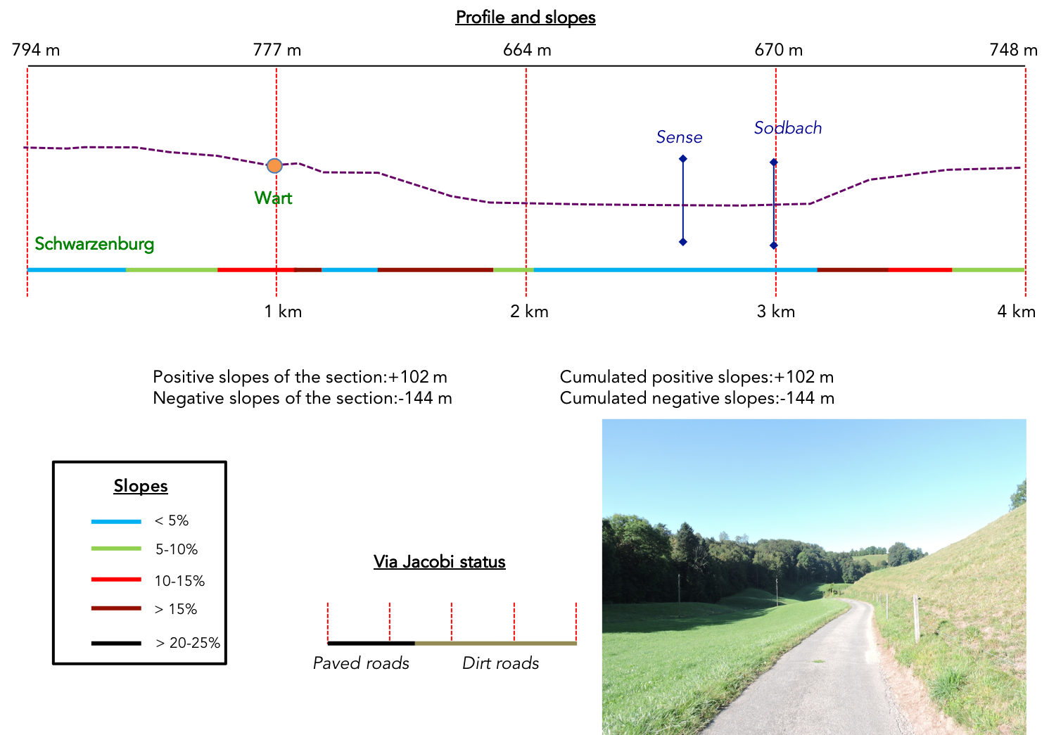
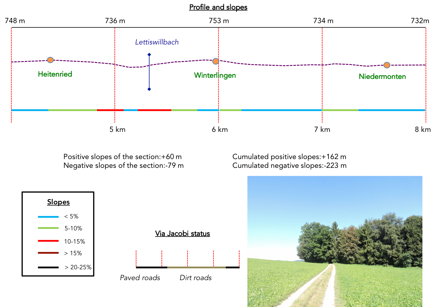
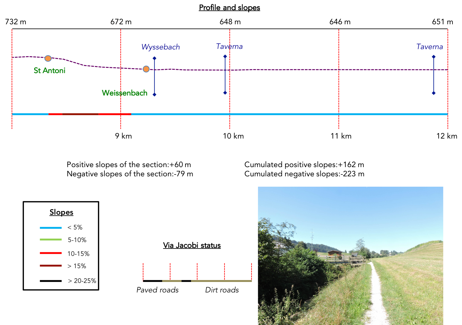
Difficulty level: Today’s trajectory, featuring a moderate elevation gain of +337 meters/-505 meters, reveals reasonably gentle slopes, seldom exceeding an incline of 10%, except for the ascent to the high plateau after crossing the Sense River, and especially during the steep descent towards the Sarine River, where slopes sometimes venture to over 25% in the streets of Fribourg, as we approach our final destination.
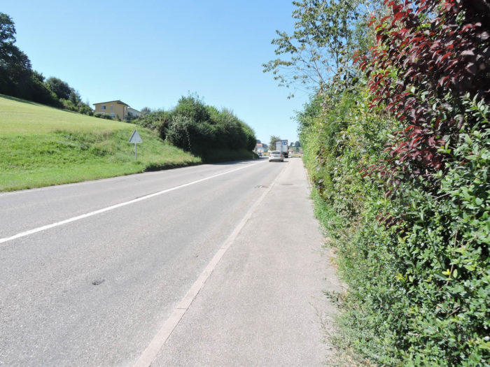
State of the Via Jacobi: Today, roads prevail over paths:
- Paved roads: 11.4 km
- Dirt roads : 8.6 km
Sometimes, for reasons of logistics or housing possibilities, these stages mix routes operated on different days, having passed several times on these routes. From then on, the skies, the rain, or the seasons can vary. But, generally this is not the case, and in fact this does not change the description of the course.
It is very difficult to specify with certainty the incline of the slopes, whatever the system you use.
For those seeking « true elevations » and enthusiasts of genuine altimetric challenges, carefully review the information on mileage at the beginning of the guide.

Section 1: Amidst countryside, cliffs, and river, from the Canton of Bern to the Canton of Fribourg

Overview of the route’s challenges: a route without difficulty, save for the descent towards the Sense River.
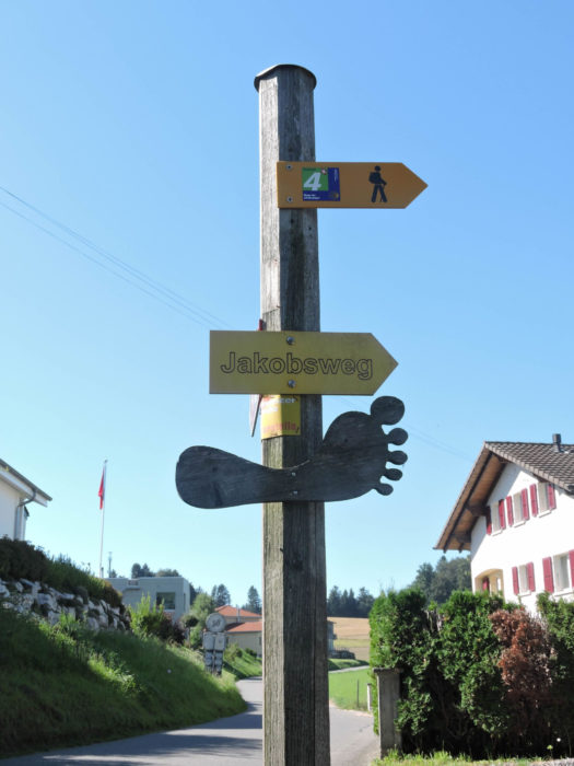
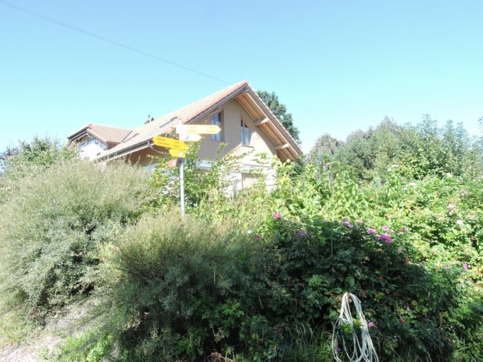
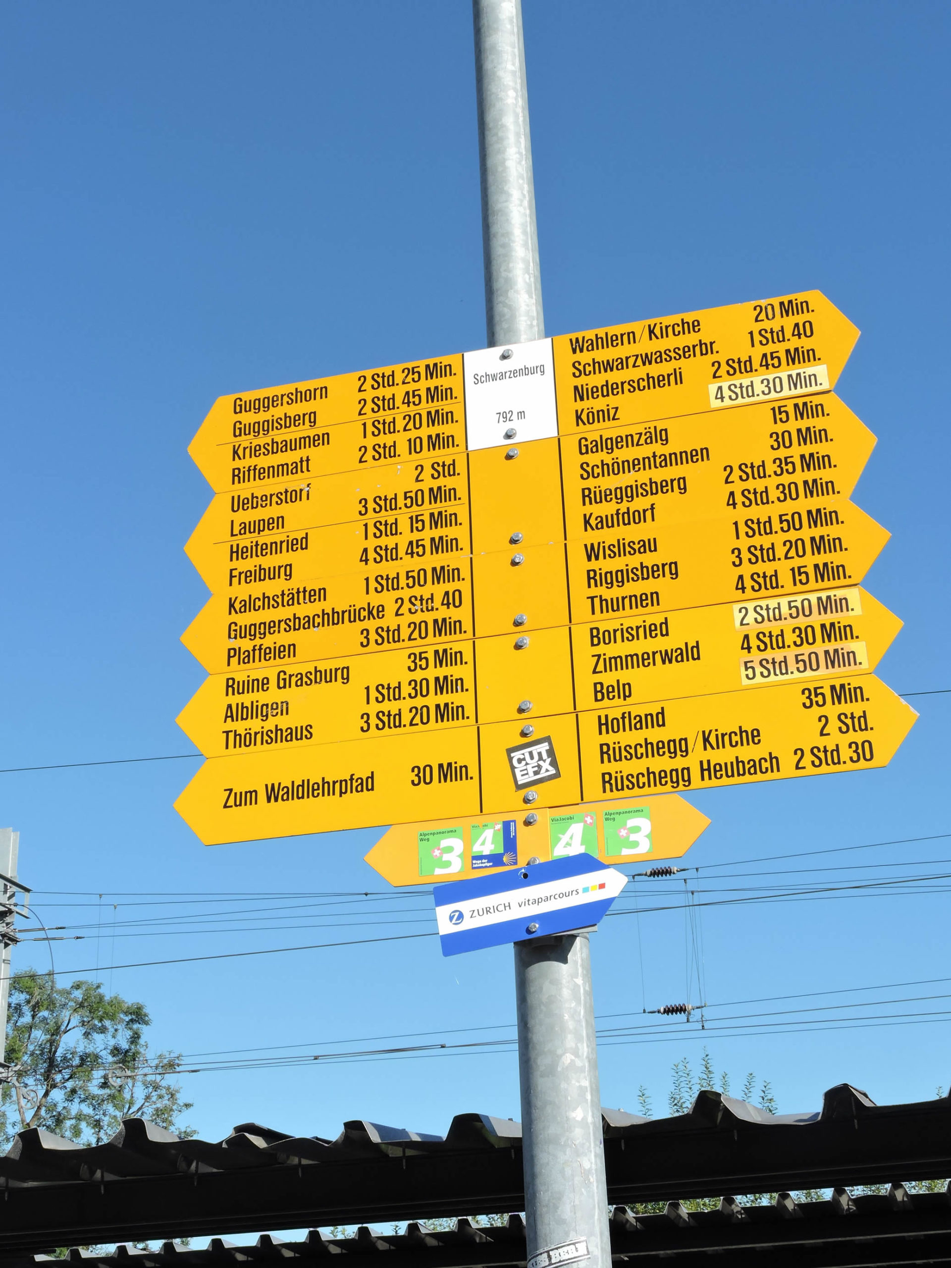
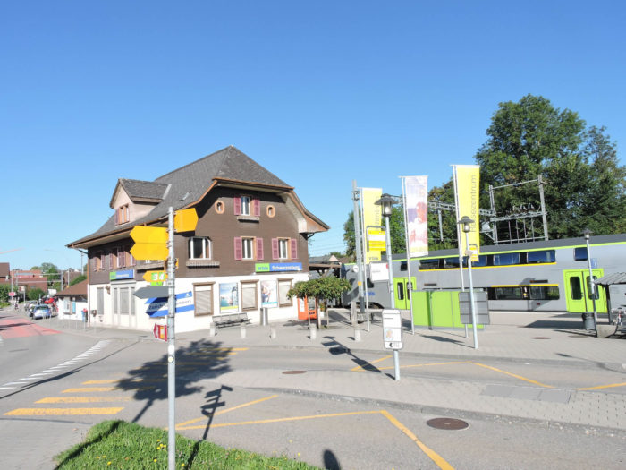
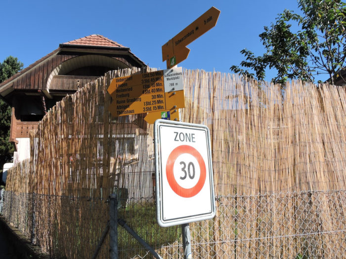
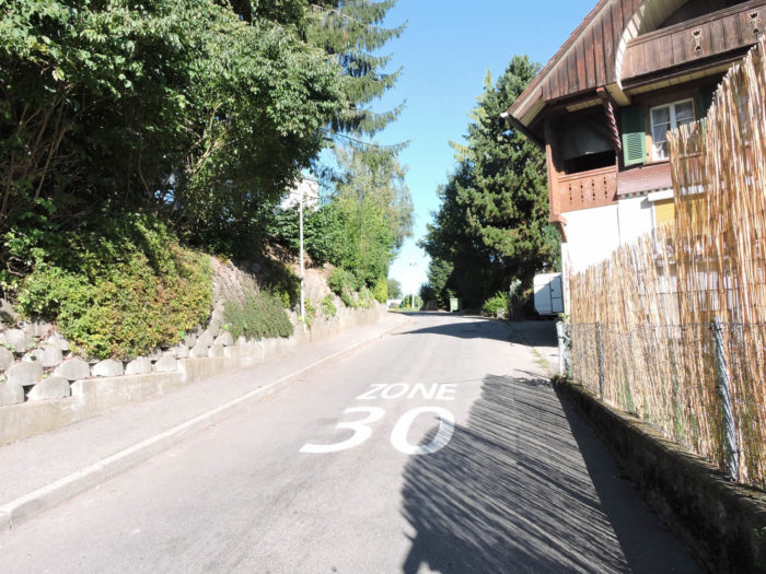
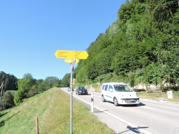
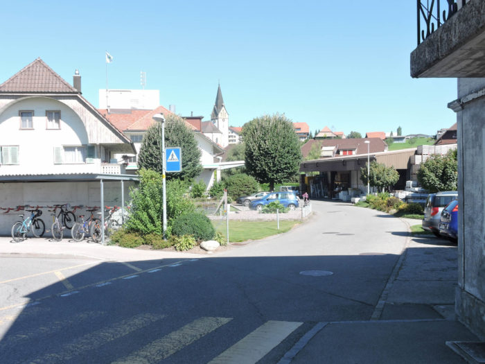
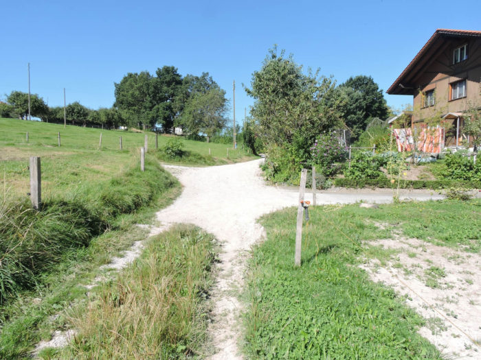
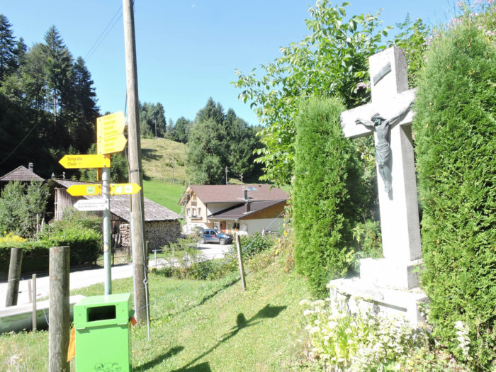
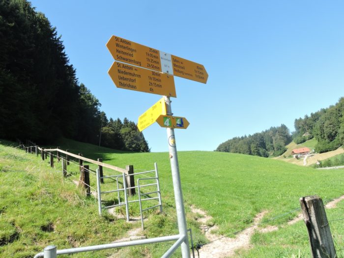
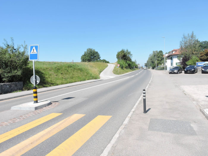
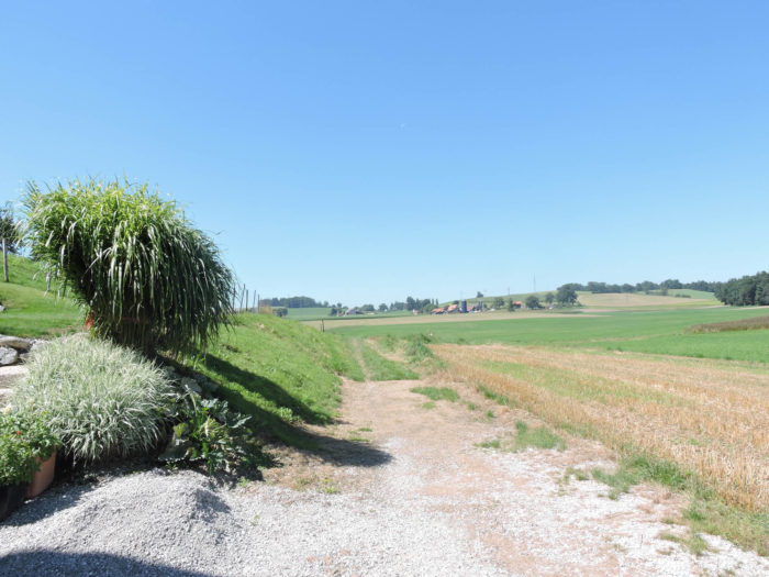
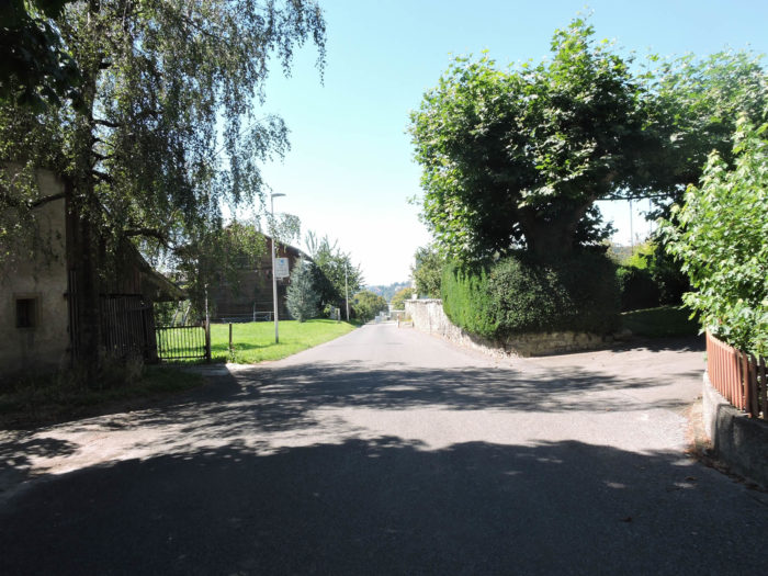
In the tranquil bustle of Schwarzenburg, signposts, akin to portals opening into the infinite, present a plethora of possibilities for adventurers. Yet, despite this multifaceted temptation, your loyalty remains steadfast to Via Jacobi 4, this route which, like a thread of Ariadne, has guided your steps from the serene shores of Lake Constance.
|
Departing the town near the station, the Via Jacobi continues its course.
|
 |
 |
|
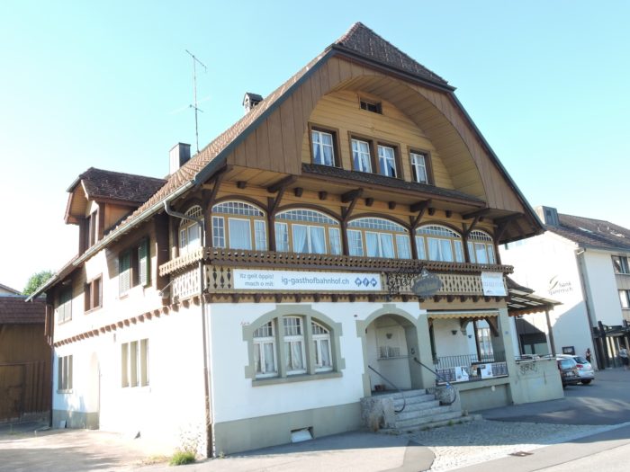
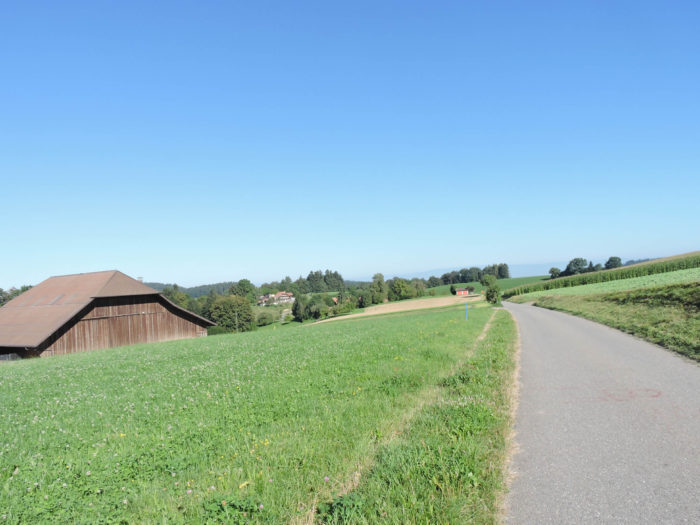
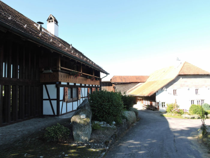
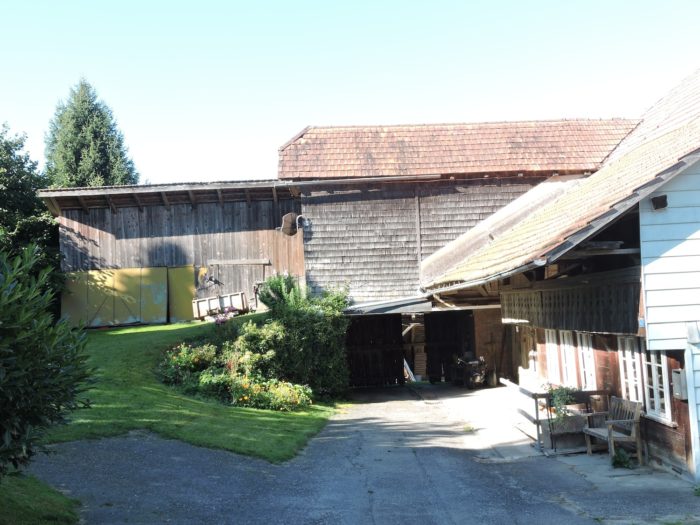
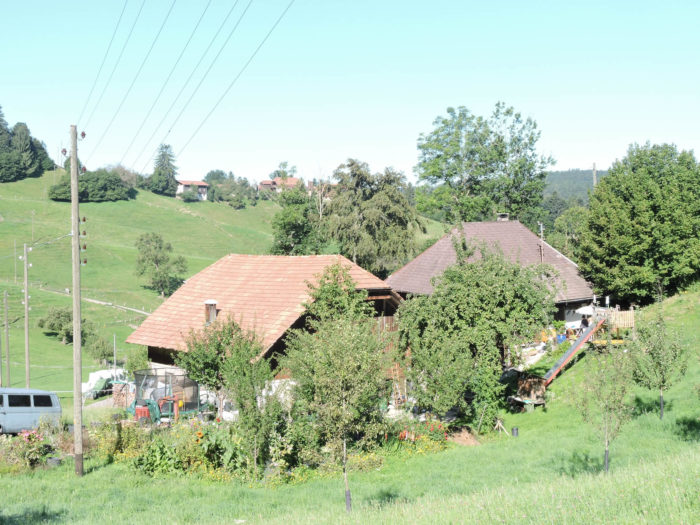
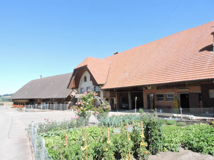
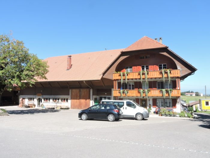
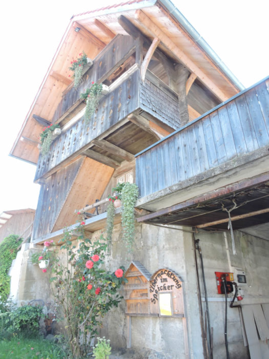
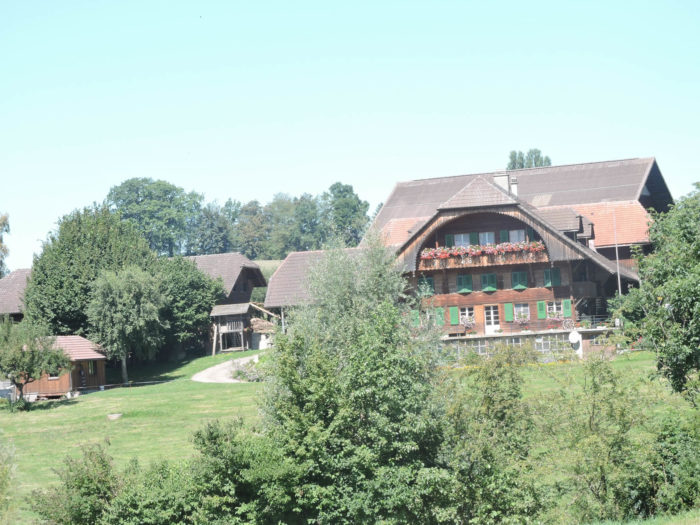
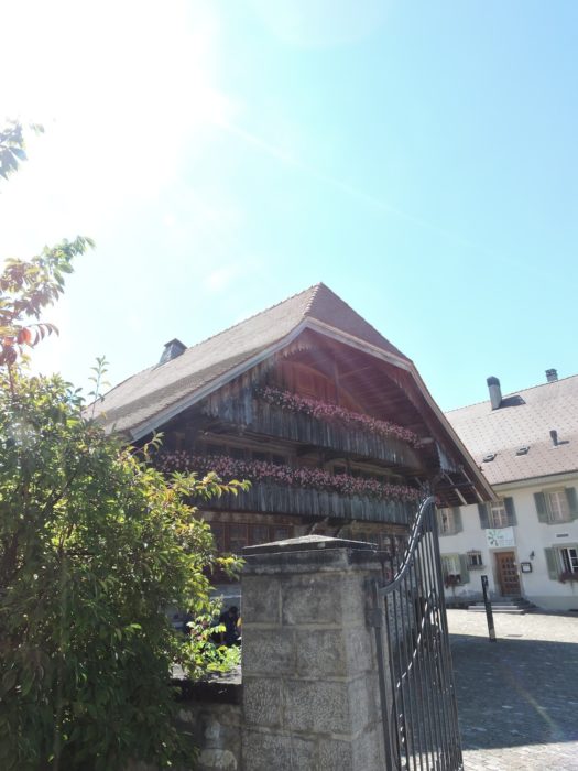
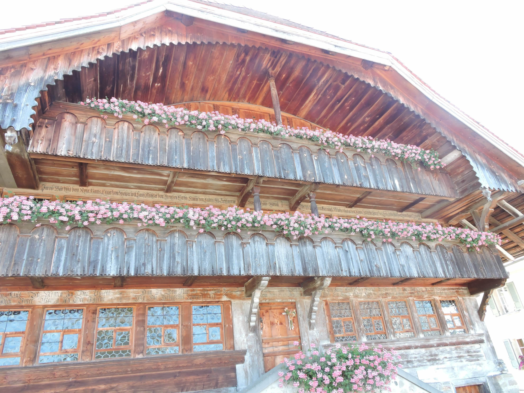
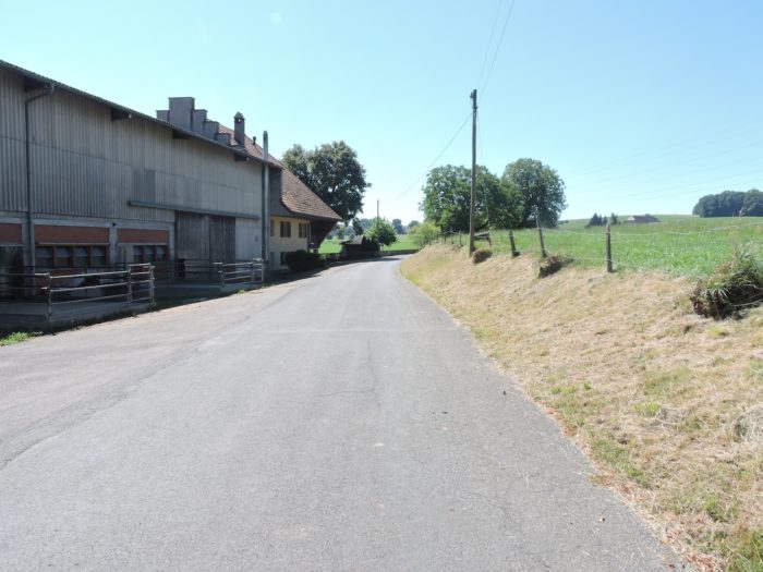
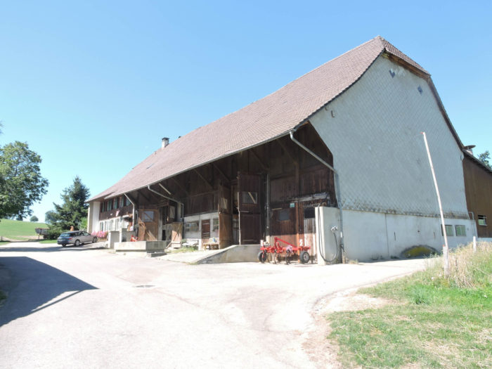
Along Bernstraße, where time appears frozen in an immutable embrace, still stand the noble remnants of a bygone era: the old farms, custodians of ancestral heritage. In Schwarzenburg, this picturesque tableau comes alive with a visual symphony, elegantly intertwining the rustic architecture of farms with the proud nobility of patrician residences.
|
 |
 |
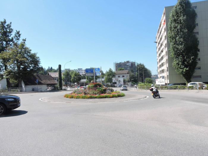
| Near Market Square, teeming epicenter of life and commerce, the Via Jacobi suddenly deviates from its main route, as if inviting you to a secret dance through the city’s labyrinth. Here, amidst the pulsating heart of urban commotion, echoes the distant promise of Fribourg, stretching like a distant horizon, nearly five hours’ walk away, captivating your imagination with its mysterious charms. |
 |
 |
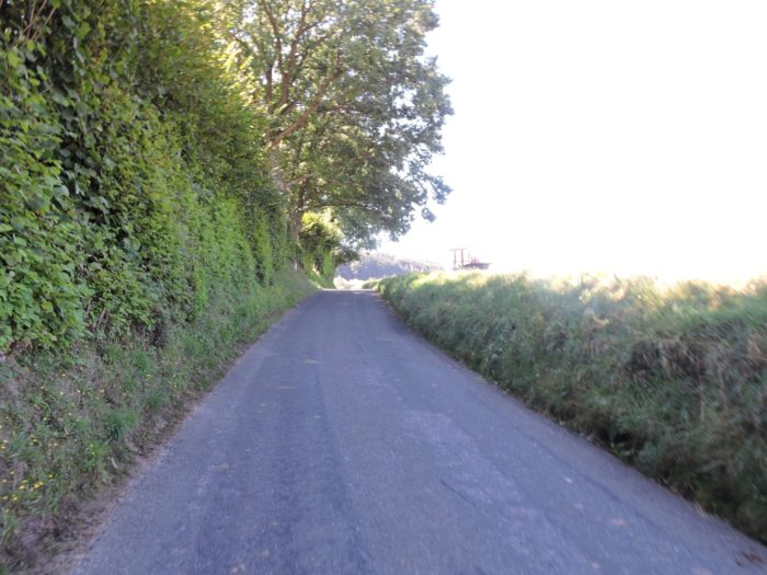
A paved road unfolds before you, a way of adventure, guiding your steps with tranquil assurance towards Wart, a haven of tranquility at the edge of the world.
|
 |
 |
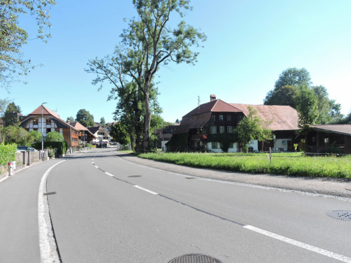
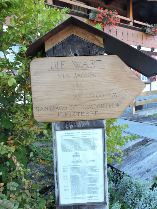
| Amidst meadows and cornfields, the small road reaches Wart. A gradual change in the landscape becomes apparent. Once scarce companions on the journey, cornstalks now stand proudly, tangible signs of the subtle transformation enveloping your route. |
 |
 |
| Wart is primarily an agricultural hamlet. |
 |
 |
Here, a spirit of kindness awakens towards the pilgrims, humbly reminding them that they tread upon the ancient footsteps of the Way of St James, where the Atlantic Ocean’s spray whispers from nearly 1,700 kilometers away, imparting the promise of an unparalleled spiritual quest.
| Beyond the village, the road descends towards Torhalten. |
 |
 |
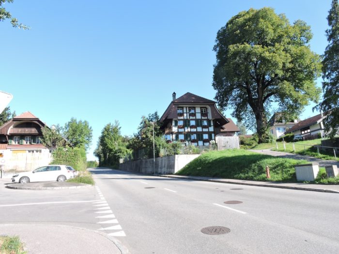
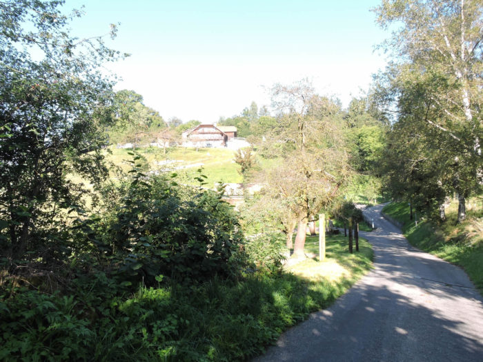
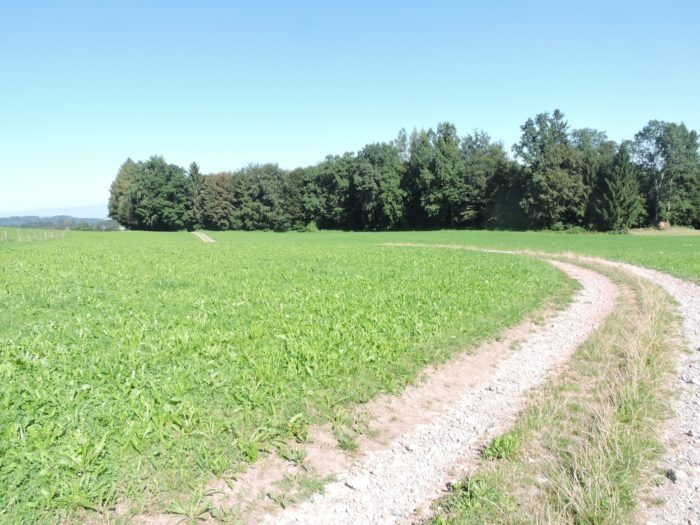
| The road gently follows the contours of the rural landscape, offering the traveler’s awestruck gaze a harmonious ballet between undulating hills and vast expanses of greenery. |
 |
 |
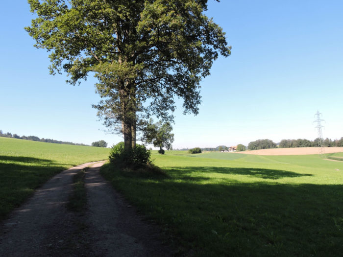
The countryside stretches peacefully, a symphony of tranquility where the reassuring silhouettes of farms dot the landscape like oases of serenity amidst vast meadows bathed in light.

| Further down, the Via Jacobi meanders delicately through the landscape, gracefully sinking into a wooded valley where a subdued and mysterious atmosphere reigns. |
 |
 |
| The valley, like a scar on the earth’s flank, stretches deeply, embraced by a verdant haven where the crystalline murmurs of cascading streams compose a soothing symphony. |
 |
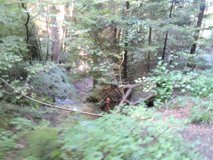 |
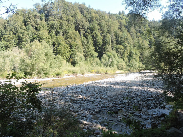
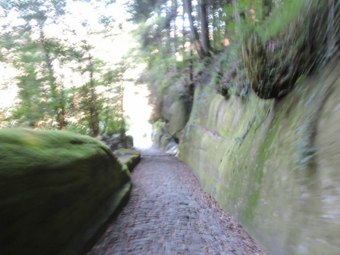
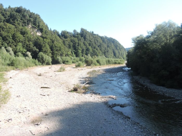
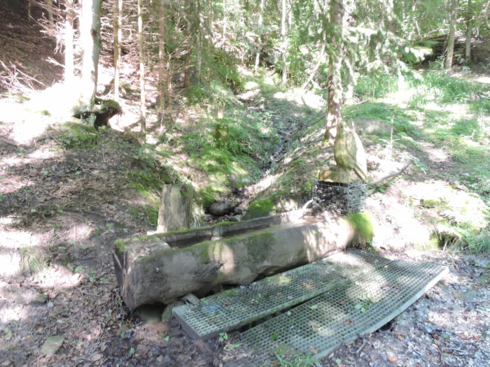
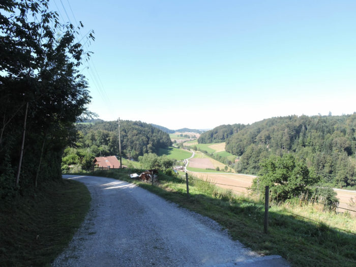
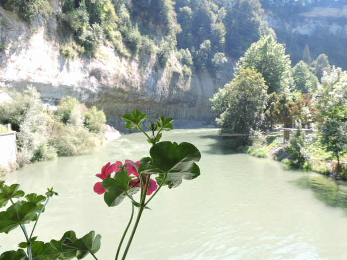
| Further down, a trail paved with millennia-old stones, boldly inclined and sometimes slippery, descends beneath majestic marl cliffs, draped in shimmering moss, plunging into the twists and turns of the Sense basin, where the elements merge in an eternal dance. The Sense River is called Sengine in French. |
 |
 |
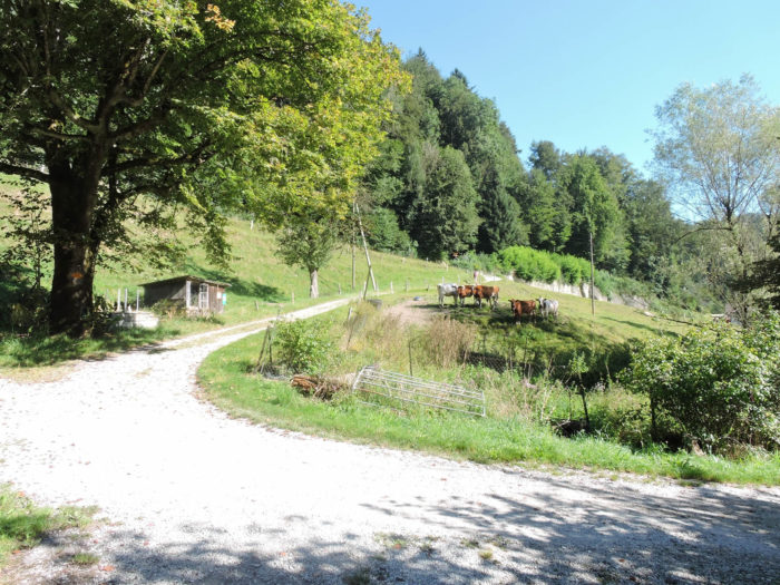
| At the bottom of the descent, a broad dirt path winds its way through the foliage, leading the hiker to the banks of the Sense River, modest in size but overflowing with wild character, its polished pebbles bearing witness to the quiet strength that animates it through the whims of time. |
 |
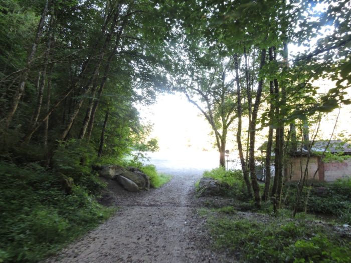 |
| Between sun-dappled clearings and shaded groves, the earthen path continues its journey along tumultuous waters, reminiscent in many ways of the enchanting landscapes of the Schwarzwasser, where the river, like an insatiable artist, has sculpted a breathtakingly beautiful wild canyon from marl cliffs. |
 |
 |
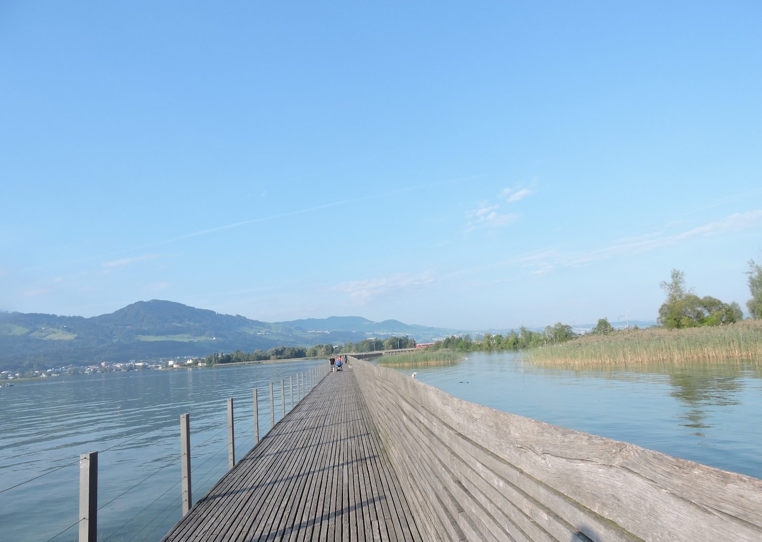
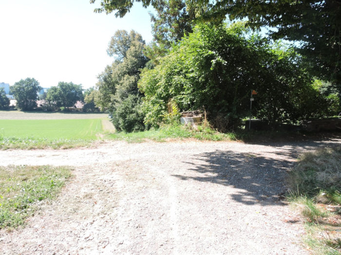
| On the horizon, a wooden bridge emerges, a fragile link between the two banks, where the old Sodachbrücke, erected at the end of the 19th century, bears witness to the timeless symbiosis between man and nature, while a modern bridge, with its sleek elegance, extends its bold arches beside it. |
 |
 |
Here, at the borders of the Canton of Bern, begins the solemn entry into the German-speaking part of the Canton of Fribourg, where each step resonates as a tribute to the cultural and linguistic diversity that shapes this corner of the country.
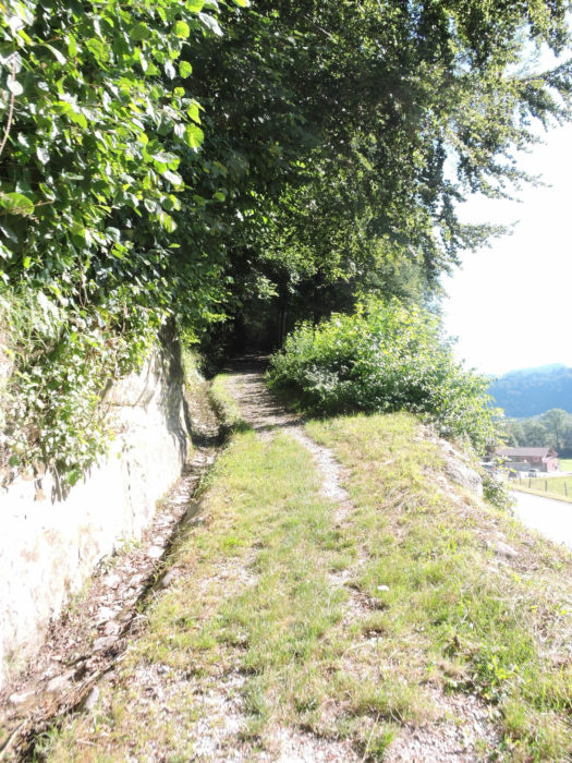
| Beyond the bridge, a tiny trail runs alongside the Sodbach stream. |
 |
 |
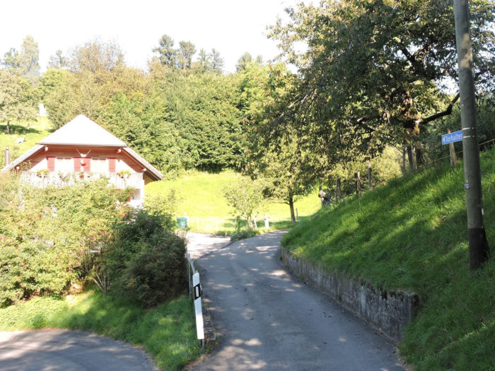
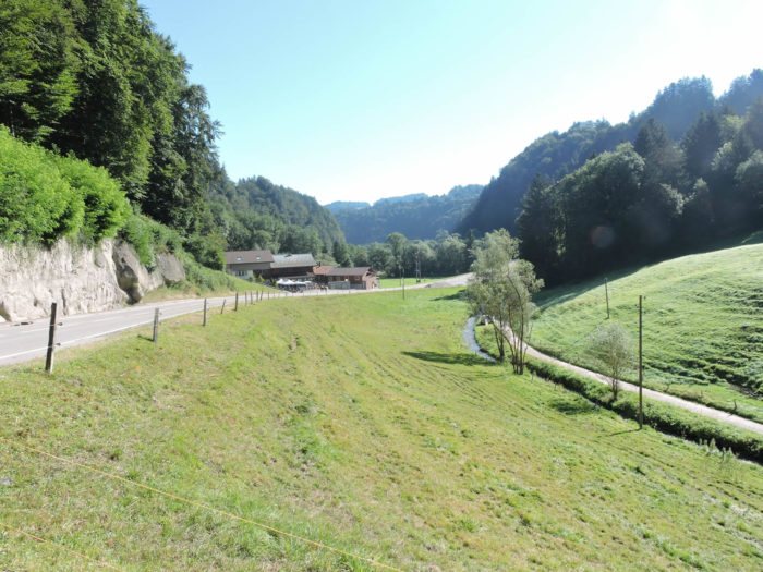
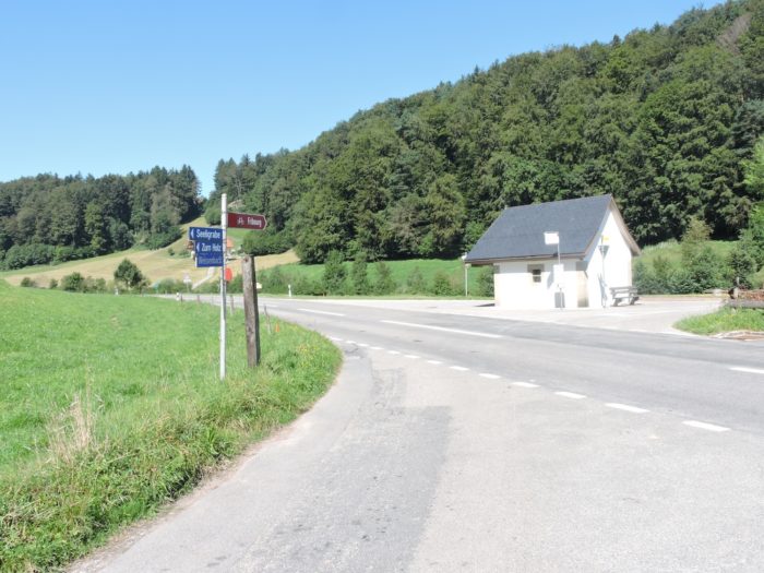
| Then, a wide path veers away from the soothing murmur of the stream, climbing wooded slopes with almost feigned determination towards the cantonal road. Just below, a café-restaurant awaits. |
 |
 |
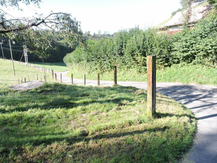
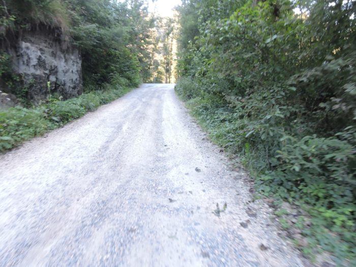
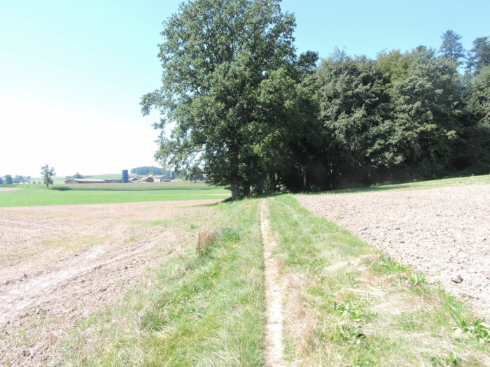
| After crossing the road, a path climbs steeply through the undergrowth. Stones litter the path abundantly. It’s still the deciduous trees that dominate, those of Swiss forests where beeches abound, with few maples, ash, or oaks. Chestnut trees are rare in Switzerland. |
 |
 |
| Through the dense foliage of Swiss forests, where beech trees reign as undisputed masters, a sun-drenched clearing emerges, a sanctuary of tranquility amidst untamed nature. |
 |
 |
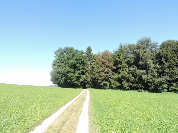
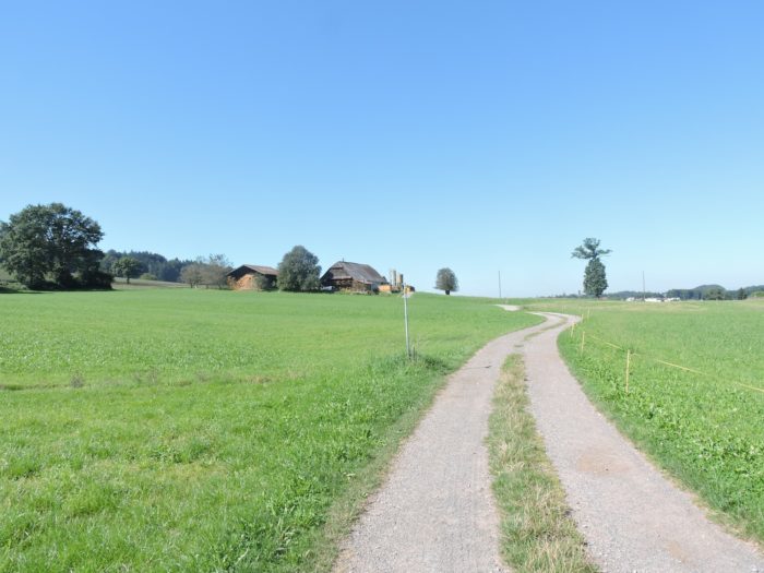
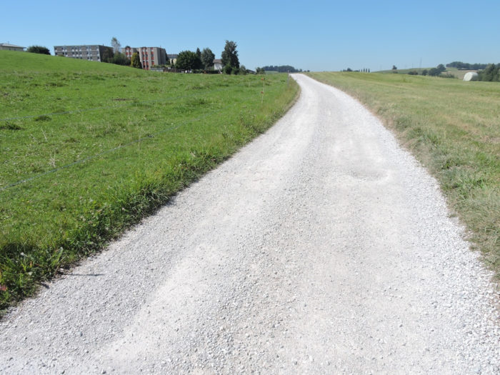
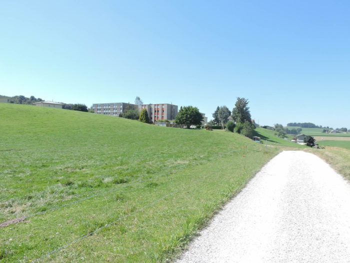
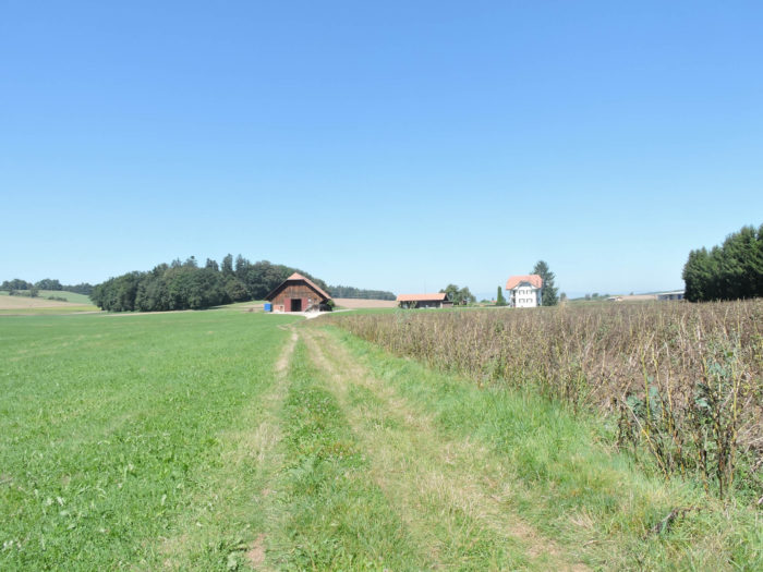
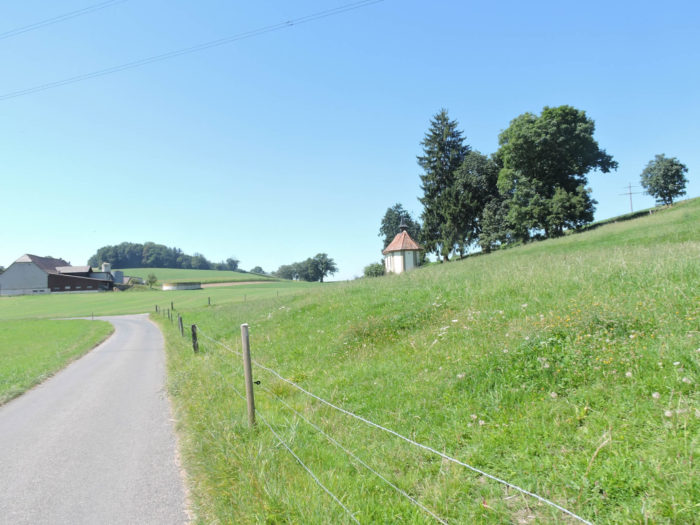
| Higher still, the slope softens, revealing a beaten dirt road sloping up towards Heitenried, offering the hiker changing panoramas between verdant meadows and dense woods. |
 |
 |
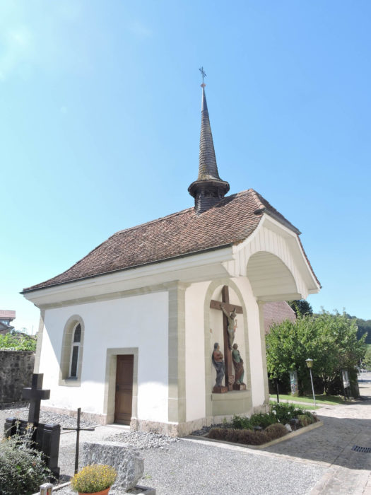
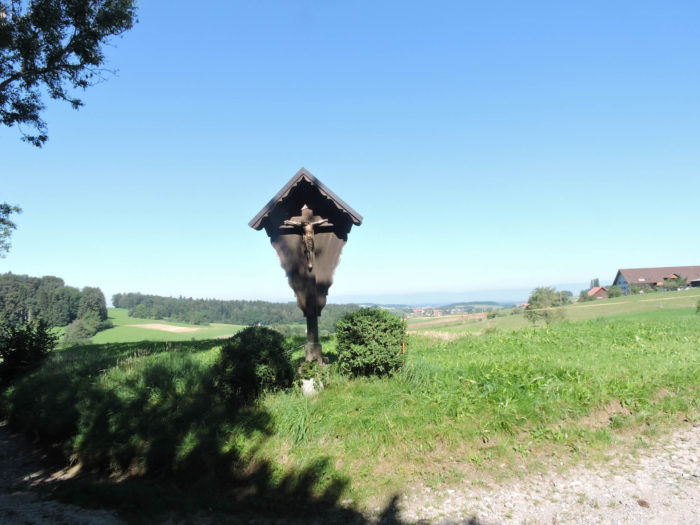
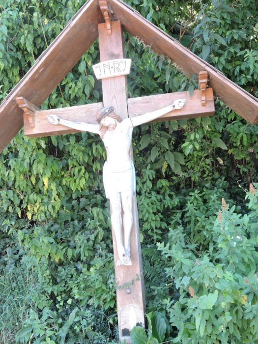
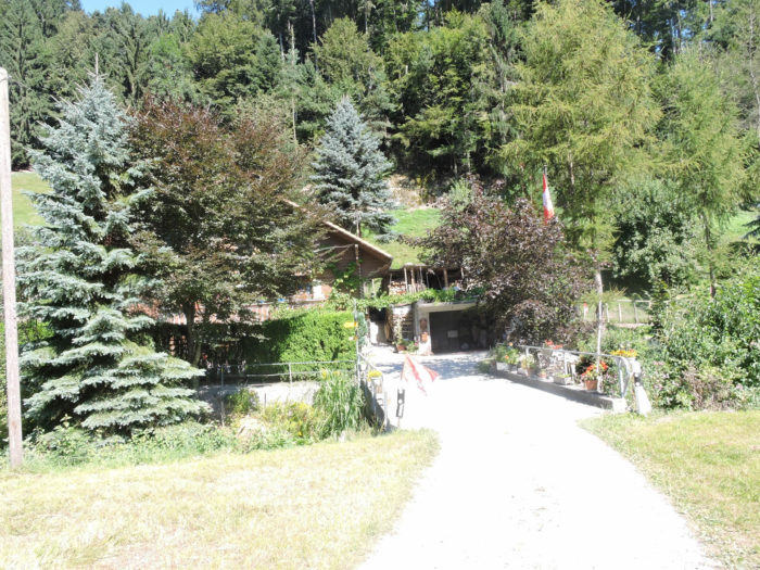
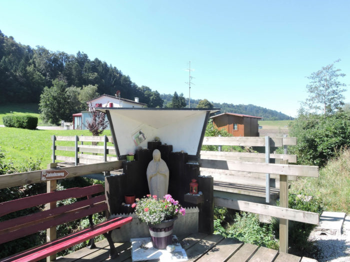
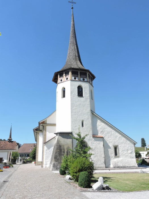
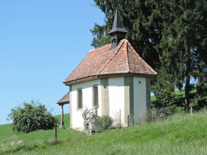
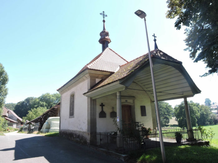
On this spiritually imbued path stands a chapel, a humble sanctuary marking the timeless presence of faith in the traditionally steeped landscape of the Canton of Fribourg.
Section 2: In the Fribourg countryside

Overview of the route’s challenges: The route presents no difficulty.
|
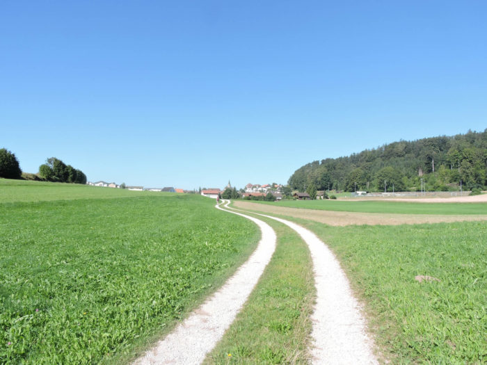
The path unfolds gracefully, gently sloping up towards Heitenreid, before seamlessly blending into the road network at the village entrance.
|
 |
 |
|
The Via Jacobi, faithful companion to travelers in search of adventure and spirituality, traverses with ease the newer part of this hamlet inhabited by some 1,400 souls.
|
 |
 |
| Then, like an ephemeral spirit, the Via Jacobi fades away, slipping beneath the village’s foundations. |
 |
 |
| There, in the fleeting darkness of this passage, it momentarily frees itself from human concerns to better envelop itself in the mysteries of the earth. Crosses emerge once again, proudly standing like silent guardians of Fribourg’s sacred territory, a canton quintessentially Catholic. In contrast to much of Protestant-majority German-speaking Switzerland, Fribourg stands out for its religious fervor and attachment to ancestral traditions. |
 |
 |
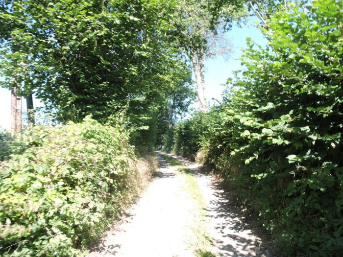
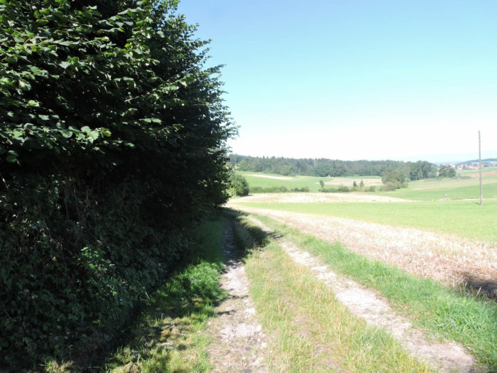
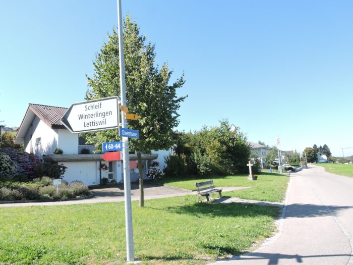
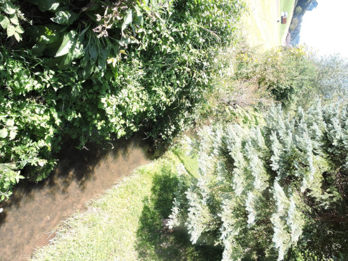
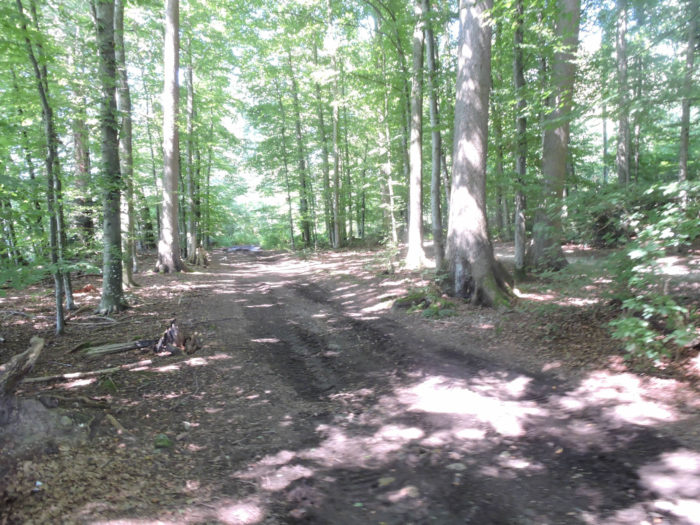
| Soon, a path carpeted with fresh grass swiftly takes shape in the countryside, winding along hedgerows that delineate vast meadows. It briskly crosses the small Lettiswilbach stream, then determinedly makes its way through a modest woodland where the foliage of deciduous trees and the majesty of spruces intertwine in natural harmony. |
 |
 |
| In this natural setting, the slope gently unfolds on a trail strewn with stones, where each step resonates like a musical note in the surrounding silence. At the edge of the woods, the Via Jacobi emerges like a dream wanderer to reach the hamlet of Winterlingen, where a few modest houses snugly nestle in the landscape, testifying to the symbiosis between humans and the land. |
 |
 |
| Further on, the path gracefully undulates through the meadows, following the earth’s twists and turns like a timeless dance. It skirts modest groves and solitary trees, mainly spruces and majestic oaks, which stand like sentinels amidst this gentle landscape. |
 |
 |
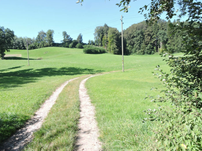
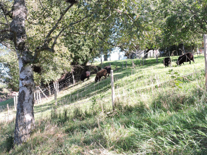
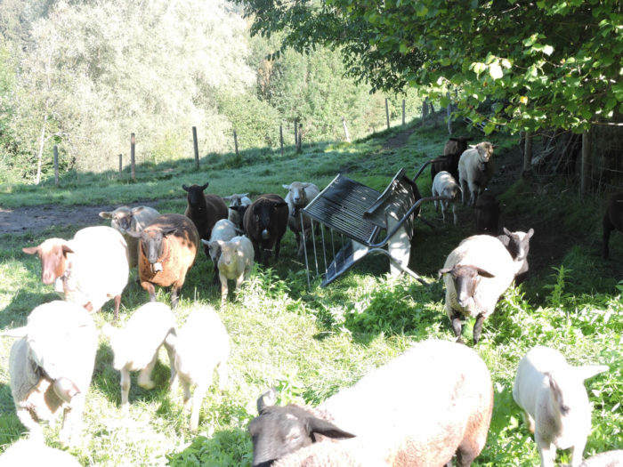
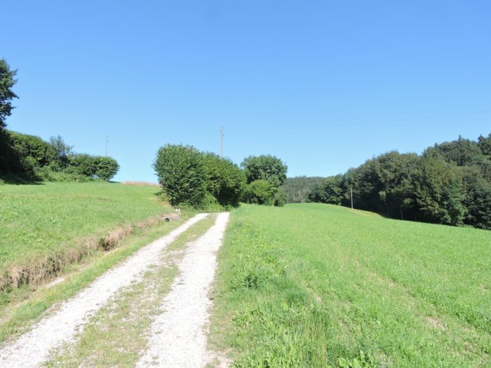
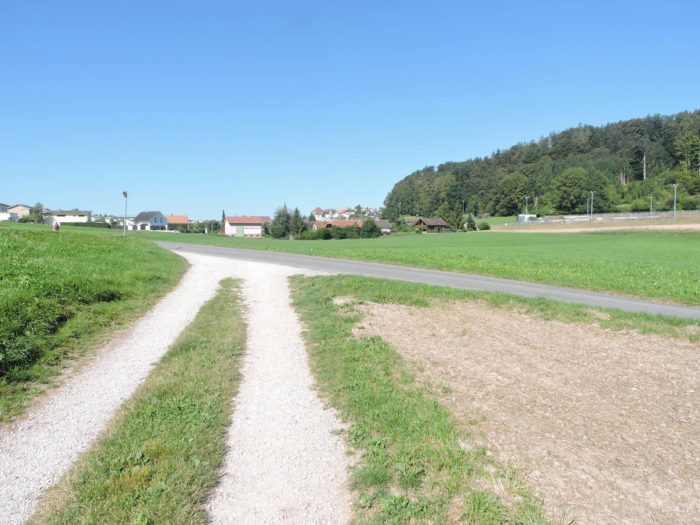
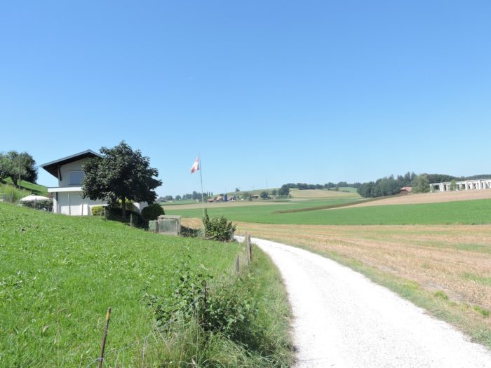
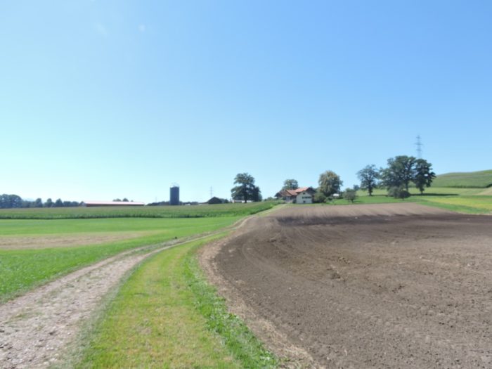
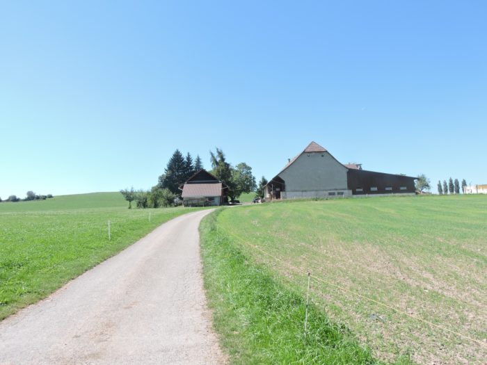
| Soon, the path opens onto the heights of Niedermonten, where rural life reigns supreme, omnipresent and authentic. Here, vast meadows stretch as far as the eye can see, dotted with black and white cows scattered like patches on a pastoral canvas, offering a vision both familiar and enchanting. It’s a landscape that divides opinions, loved by some and not by others, depending on sensibilities. Yet, for the vast majority of pilgrims, it’s a source of authentic delight, a dive into the heart of true countryside, where the simplicity and generosity of rural life reveal themselves at every step. |
 |
 |
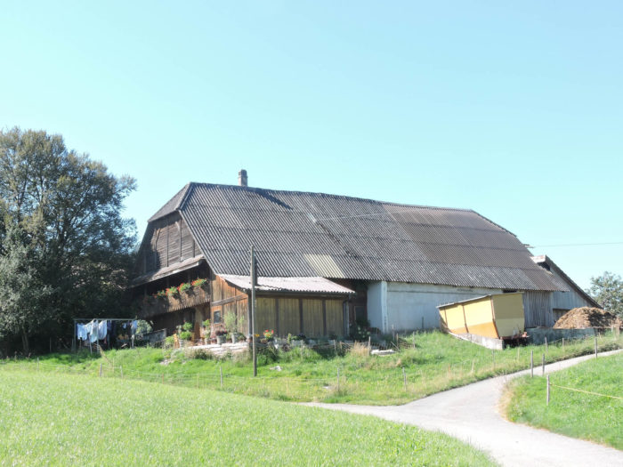
From the first glances cast upon the lands of the canton of Fribourg, signs of a more modest existence are easily discernible. The farms, although sometimes less opulent than those in the canton of Bern, bear witness to a history rich in toil and tradition. The manure, humbly arranged in front of the domain gates, recalls the constant proximity to the nurturing earth, a symbol of a life woven with natural cycles and seasonal rhythms.
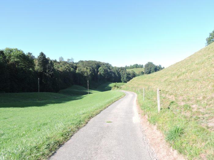
| A verdant path gently descends through the meadows, meandering among the swaying grass until it joins the asphalt road, where the Via Jacobi meets the cantonal road at Niedermonten, bordered by its gigantic farms. |
 |
 |
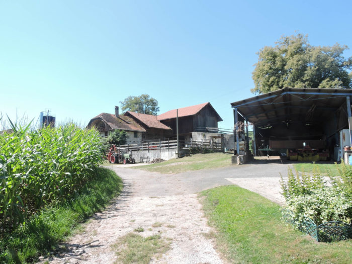
| Far be it from us to diminish the value of the canton of Fribourg, but it is true that one may perhaps sense a less opulent atmosphere than in its Bernese neighbor. At the crossroads, a carved wooden cross bears witness to the faith guiding travelers’ steps, while an extraordinary old farmhouse, a relic of times past, stands proudly as if to contradict our words. |
 |
 |
| Near another imposing and opulent farm, the Via Jacobi veers off the national road to take a narrower and more intimate route. |
 |
 |
Section 3: Along the Taverna Brook

Overview of the route’s challenges: a route without any challenges.
|
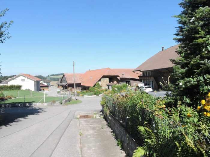
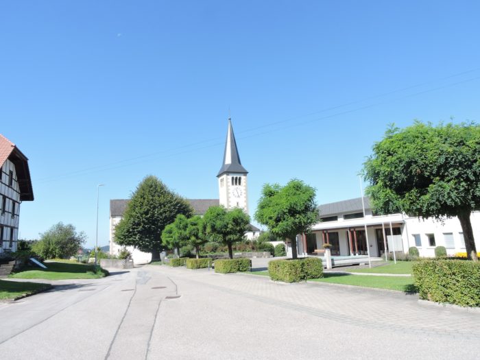
The small road vanishes into the verdant expanse leading towards Sankt Antoni, an invitation extended by the bucolic landscapes to explore the village.
|
 |
 |
| The steeples of the two churches, one Catholic, the other Protestant, stand as guardians of tradition and faith, reminding us that the canton of Fribourg has long been the epicenter of a struggle between beliefs, entwined in the twists and turns of the human soul. |
 |
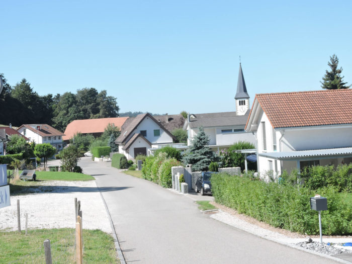 |
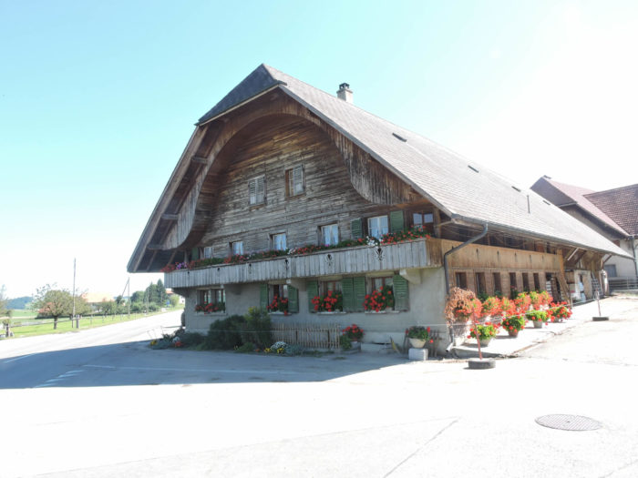
The road winds between dwellings, some strikingly modern, others steeped in ancestral aura, their architecture revealing layers of the past and echoes of another time.
|
 |
 |
In this living tableau, each stone seems to whisper a story, each window reflects a soul. And what of this marvel, now transformed into a guesthouse, where the walls undoubtedly still resonate with the laughter and whispers of past generations?
| The Via Jacobi, like a hand reaching out towards the unknown, veers away from the village at the foot of the Catholic church, continuing its journey towards the end of the ridge. |
 |
 |
| At the edge of the village, a broad gravel road gently descends into the depths of a secret valley, weaving invisible ties with the hills and mountains looming in the distance. |
 |
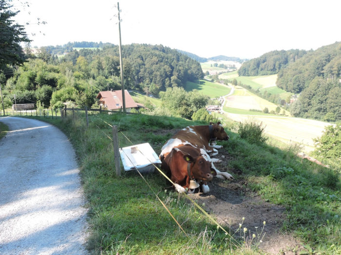 |
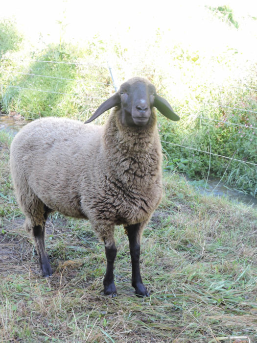
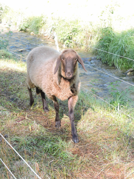
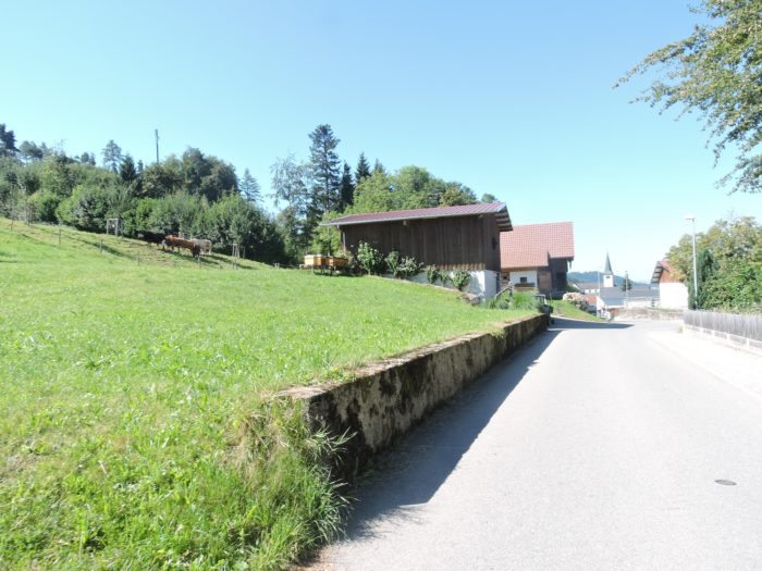
| Simmental cows, majestically sprawled across the meadows, observe the pilgrim with undisguised curiosity, as if to invite them to share a moment of tranquility. The path then plunges into the dense forest, following the irregular rhythm of the cliff guiding its descent. But the descent is not long. |
 |
 |
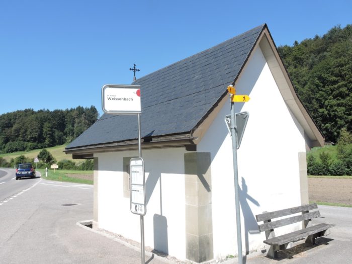
| Soon, the hamlet of Weissenbach reveals itself, like a jewel nestled in the valley. Here, the Via Jacobi catches its breath, accompanying the crystalline murmur of the Wyssebach stream meandering through its twists and turns. |
 |
 |
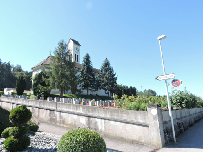
| Then, in a harmonious ballet, the road merges into the landscape, skirting the watercourse until its inevitable meeting with the cantonal road, where the church of Sankt Antoni stands proudly like a beacon. |
 |
 |
| A few steps away, a trail branches off into the meadows towards some modest dwellings, marking time like beads on a necklace. After a brief passage through the grass, the Via Jacobi rejoins the cantonal road. Here, you are less than two hours’ walk from Fribourg. |
 |
 |
| Then a path stretches flat towards a few isolated houses on the other side of the road. |
 |
 |
| This is also where the Wyssenbach arrives, a thin trickle of water, bringing its gentle melody. |
 |
 |
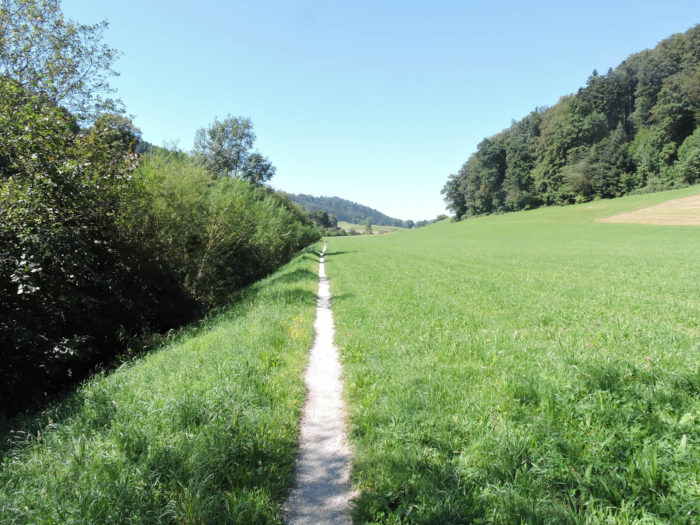
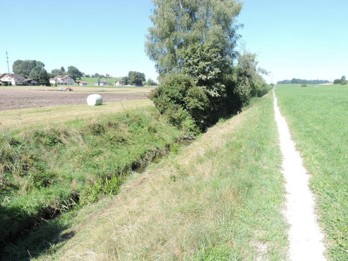
| Equally meager is the Taverna, a stream that you will follow for about two kilometers, on a strip of land lost in the grass. |
 |
 |
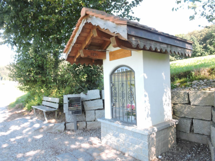
| Along the way, on this forgotten land, a humble and solitary oratory dedicated to Mary stands, inviting meditation and contemplation. |
 |
 |
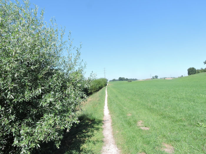
| Nothing happens here except the melancholy that can arise from taking one step after another, considering the grass of the meadows or the bushes of the stream. |
 |
 |
| At the end of the trail, the Via Jacobi crosses the Taverna again and rejoins the cantonal road leading to Tafers. |
 |
 |
Section 4: Beautiful chapels before returning to the countryside

Overview of the route’s challenges: The route presents no particular challenges.

|
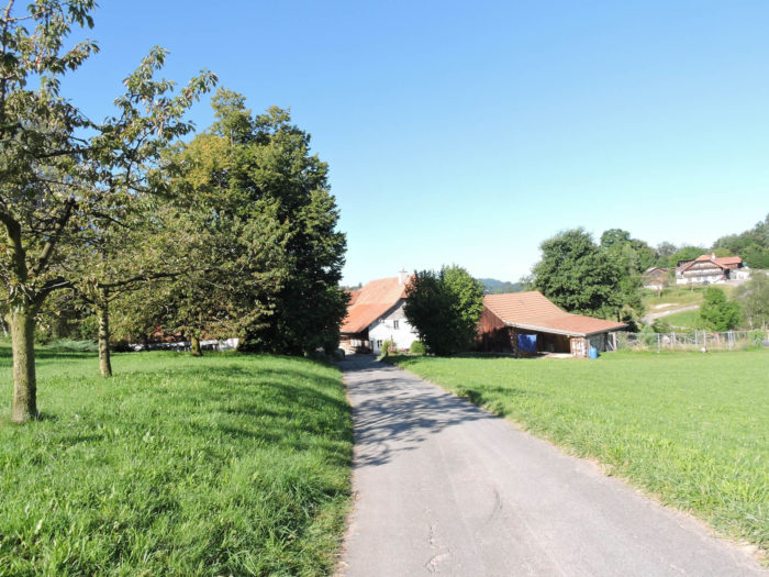
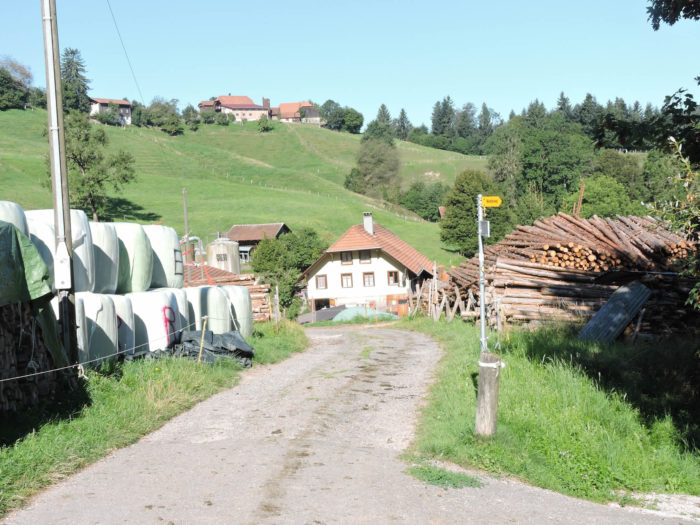
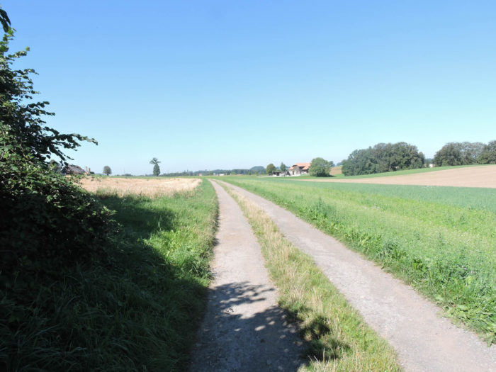
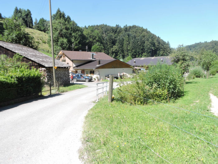
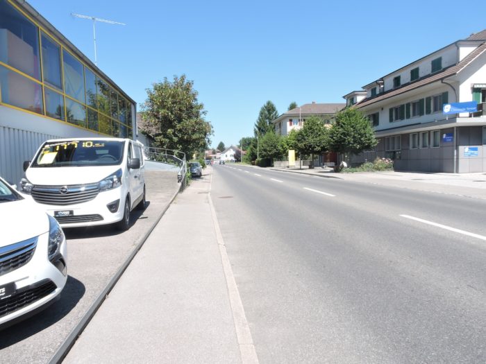
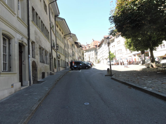
Upon crossing the threshold separating it from Fribourg up to Tafers, the momentum of the walker noticeably dwindles. Forced to advance along the sidewalk amidst the tumult of the cantonal road, a certain weariness takes hold. The incessant ballet of vehicles, betraying the constant activity of this thoroughfare, leaves little room for tranquility. But occasionally, like a ray of light in the darkness, their gaze wanders upon noble farms or imposing residences, seemingly defying the passage of time and bearing witness to past splendor.
|
 |
 |
 |
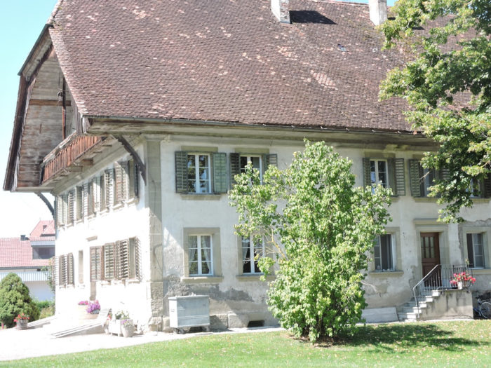 |
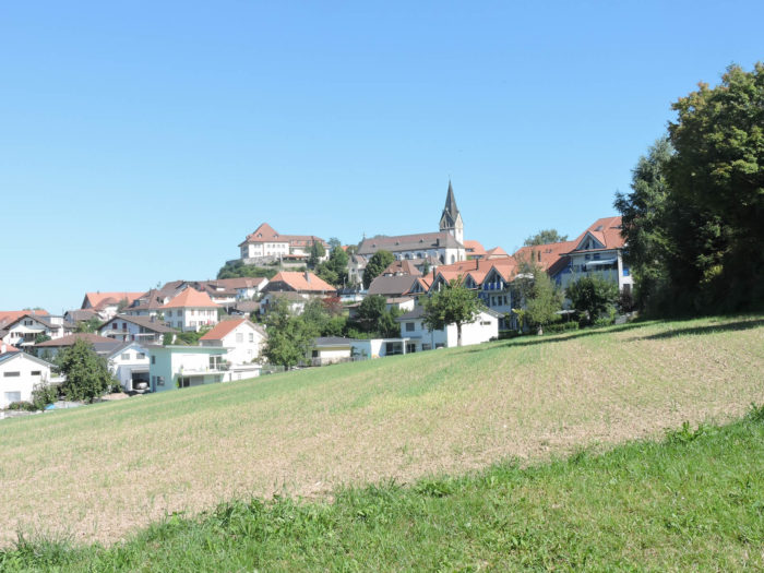
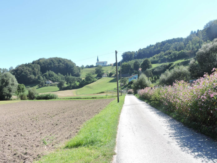
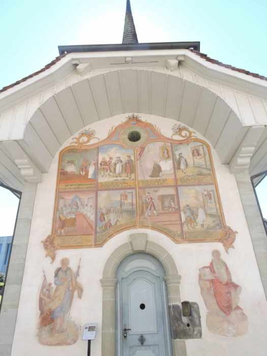
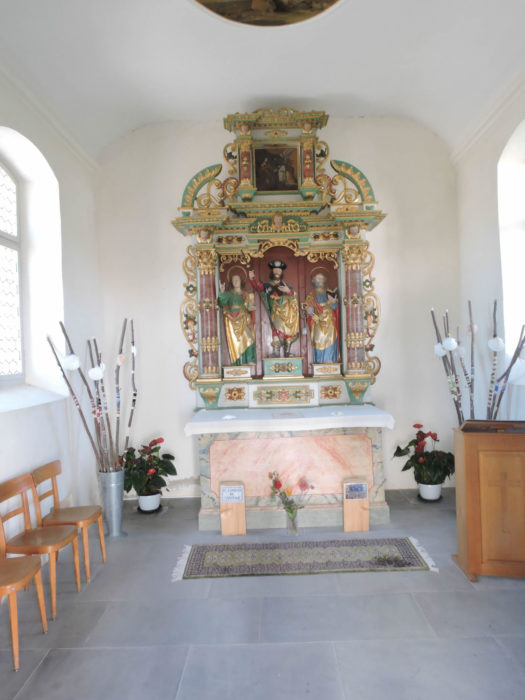
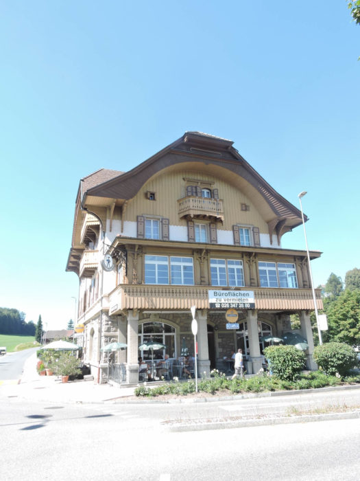
| With their gaze fixed on Tafers (or Tavel for French speakers), capital of the Singine, district of the canton of Fribourg, the hikers gradually immerse themselves in the unique atmosphere of this peaceful town. At first glance, a modest population of 3,250 inhabitants resides there, where French reigns supreme in commerce, due to its proximity to the city of Fribourg. However, German remains the official language in Tafers, thus anchoring the city in its Germanic heritage. At the heart of this haven of serenity stands a majestic church dedicated to St Martin. Witness to centuries past, this sanctuary, originally Romanesque in style, gradually adorned itself with the splendors of late Gothic and then Baroque, finally emerging in all its splendor in the 17th century. Adjacent to this architectural wonder, two chapels stand proudly. |
 |
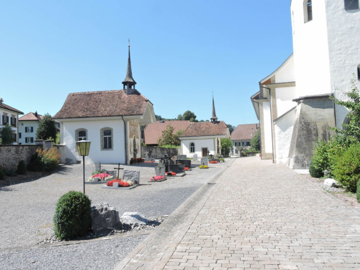 |
One of them, steeped in mysticism, resonates with the footsteps of pilgrims from Santiago. Through the peephole, their staffs silently testify to their humble journey. The other, more sober, embodies the eternal tranquility of the place. Both, set within the surrounding cemetery, bear the imprint of late Baroque, attesting to the cultural richness of the region.
|
 |
 |
| Despite the predominance of modern constructions, a few residences remain as guardians of the past. |
 |
 |
Among them, a residence of singular beauty, a typical emblem of Fribourg architecture, has transformed into a museum dedicated to the Singine, thus preserving the cultural heritage of the region.
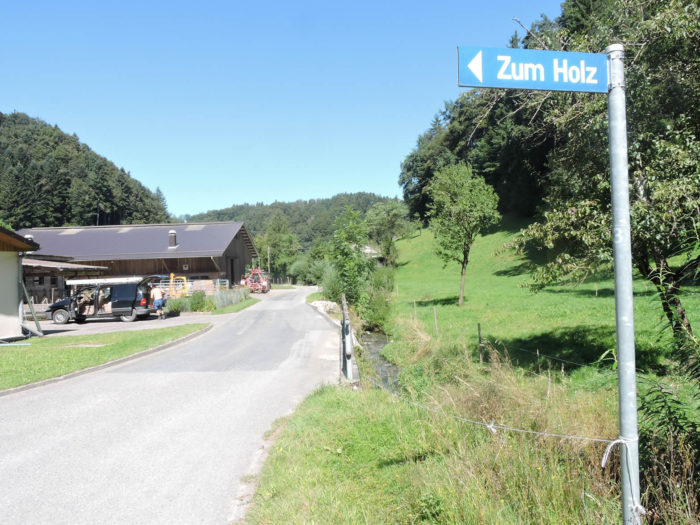
| The Via Jacobi then leaves Tafers by taking the road to Düdingen. But soon, a dirt path beckons to the walker, leading to the discovery of the countryside that stretches around Tafers. |
 |
 |
| In the confines of this vast region of Fribourg, Tafers is already part of the urban landscape, with local blocks rising like sentinels, witnesses to progress. |
 |
 |
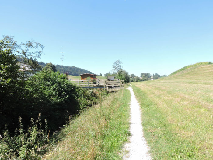
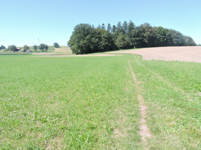
| Soon, like a capricious traveler, the Via Jacobi runs in the labyrinth of the countryside. |
 |
 |
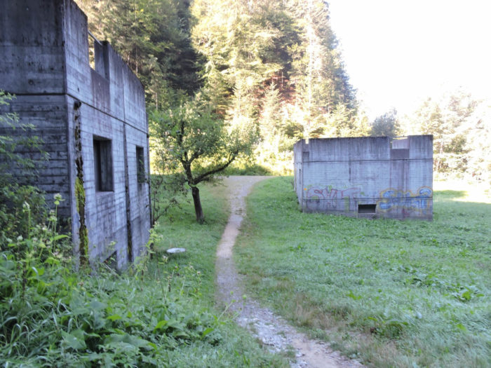
There, it ventures among fields, brushing past the bustling activity of an industrial zone on the horizon.
| A little further on, concealed behind the ridge of a rustic farm, it is drawn by the whispering leaves of a woodland, like a well-kept secret in the heart of nature. |
 |
 |
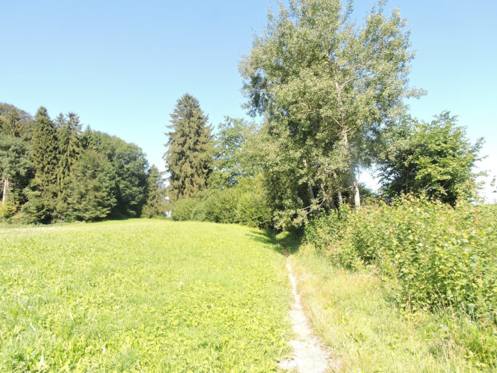
| The path then winds through the Lamprat wood, where beech trees stand majestically, towering above deciduous trees, their branches confidently caressing the sky. Here, the chorus of maples discreetly accompanies their sovereign, while oaks are scarce, like timid guests at the party. |
 |
 |
| Emerging from this sanctuary of greenery, the path gently slopes up towards Menziswil, like a pilgrim advancing with determination towards an impending revelation. |
 |
 |
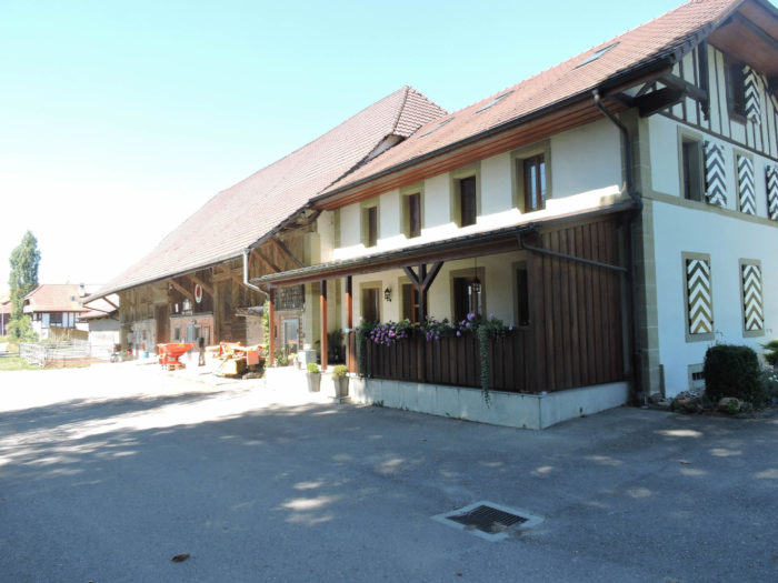
In this corner of the earth, farms stand modestly, devoid of the opulence that sometimes characterizes the canton of Bern, but imbued with authentic charm, like jewels modestly hidden under the dust of time.

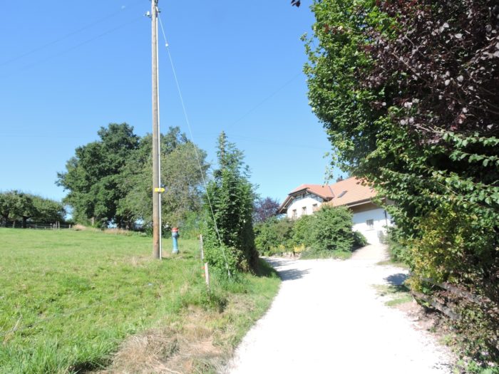
| A paved road then unfolds, stretching through pastures, offering a small sanctuary dedicated to the Virgin, a building belonging to the Ursulines, a gift from two old maids, erected in the 18th century. |
 |
 |
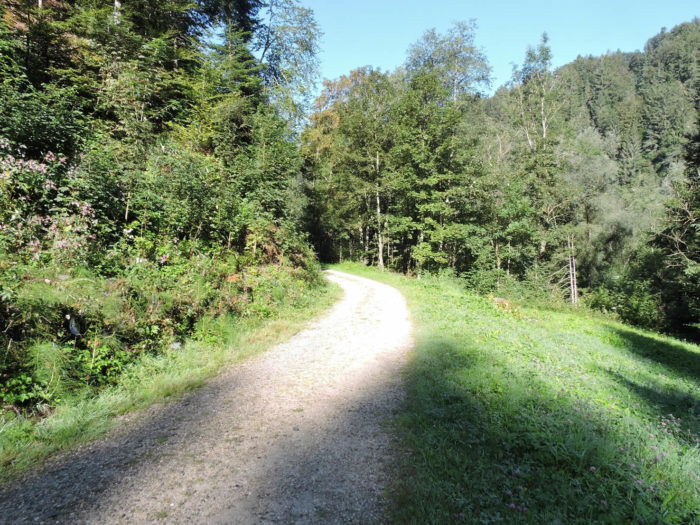
| The landscape extends generously, allowing the pure countryside air to be breathed with every step, with scarcely an isolated farm, either in nature or along the roadside. |
 |
 |
| Here again, it’s countryside, real countryside. |
 |
 |
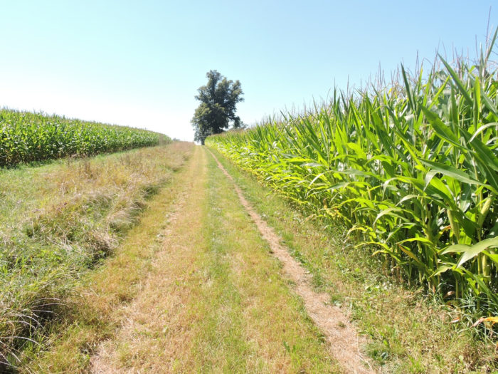
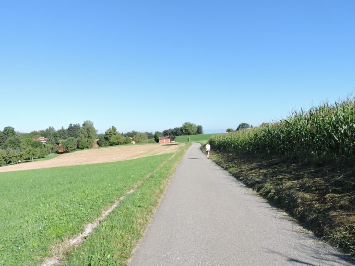
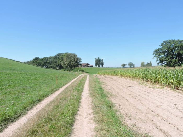
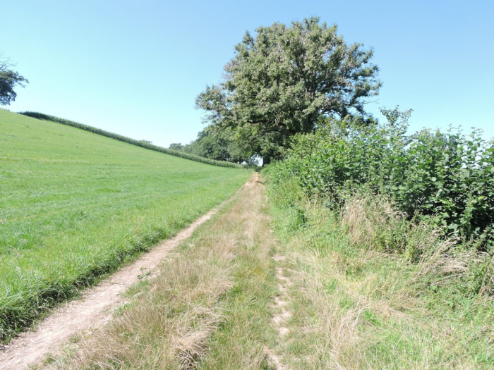
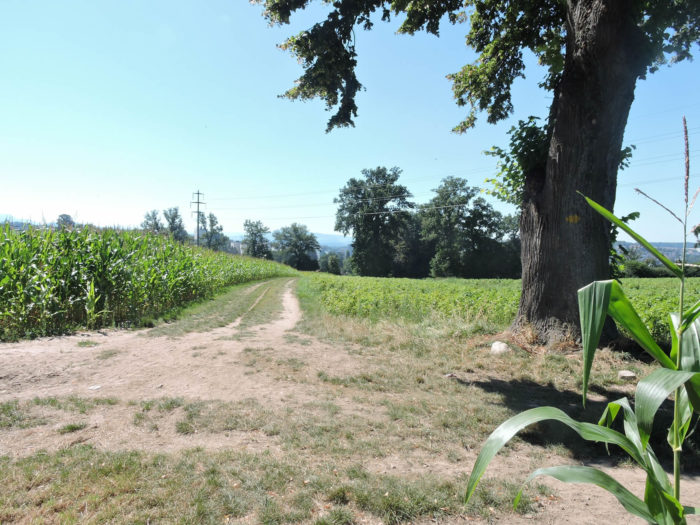
| And behold, beyond the hamlet of Hinter Bruch, the Via Jacobi timidly slopes up through cornfields on a dirt road, offering an unexpected sight. For since the shores of Lake Constance, had we not seen so many of these golden ears reaching towards the sky. All this to tell you that Switzerland is not a land of crops. |
 |
 |
Section 5: On the way to the beautiful city of Fribourg
Overview of the route’s challenges: steep slopes in the Old Town of Fribourg.

|
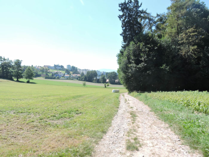
The journey then continues with a graceful descent, sinking into the verdant meanders towards the outskirts of Fribourg, like a soft dance towards the unknown.
|
 |
 |
|
Through a veil of foliage, the trail timidly emerges at the edge of Villars-les-Joncs, or Uebewil according to the Alemannic dialect, an enchanted haven nestled in the depths of memories, where the marshes once whispered their secrets into the soil. The Alemannics call it Uebewil, « hamlet of the yews », because there were marshes here in the past.
|
 |
 |
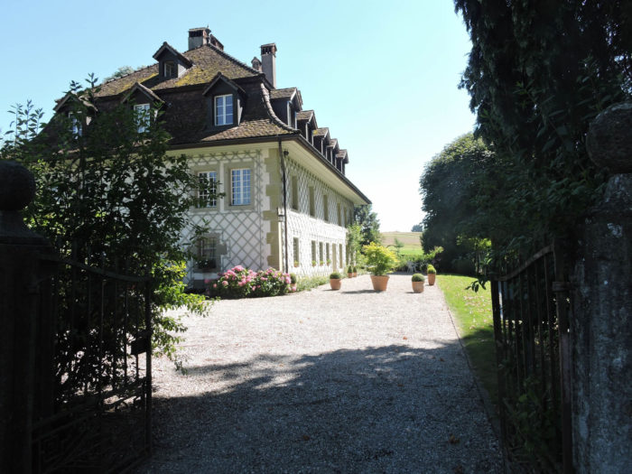
A majestic patrician building then stands as a solemn guardian of Villars-les-Joncs, an immutable testament to the aristocratic past that still resonates in the stones, recalling the splendor of a renowned family in the annals of Fribourg.
| Beyond, the urban fabric gradually takes shape, weaving timeless links between the first dwellings of Fribourg. |
 |
 |
It runs by a chapel, originally dating back to the Middle Ages and dedicated to St James, then rebuilt towards the end of the 17th century and dedicated to the Virgin.
|
 |
 |
| The road then descends towards the city and reaches the Bern Road. You are here at Fribourg Kessler in the north of the city. |
 |
 |
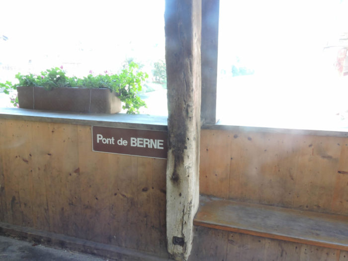
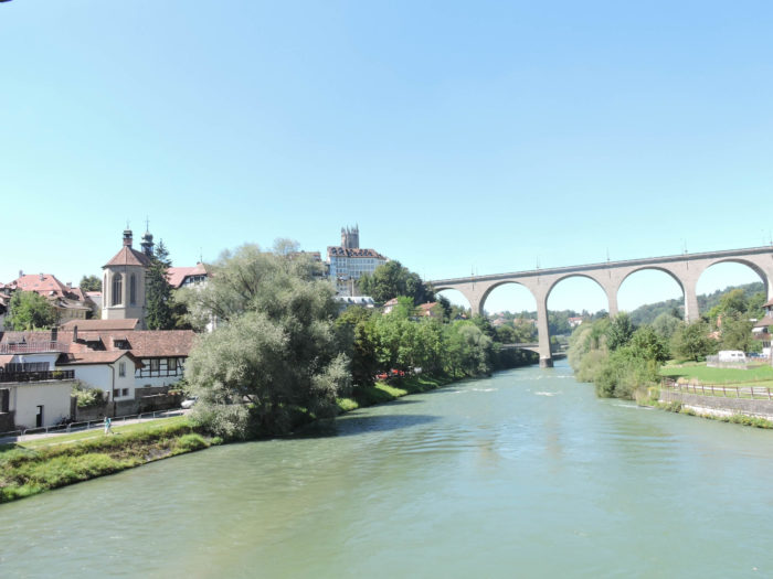
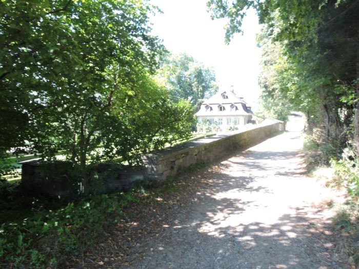
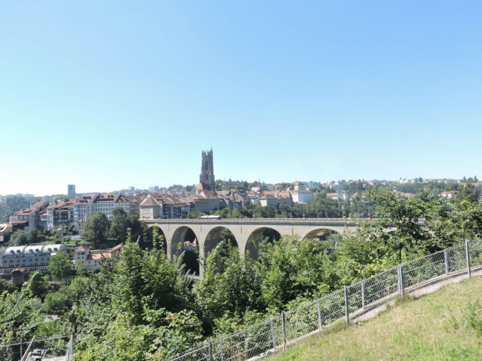
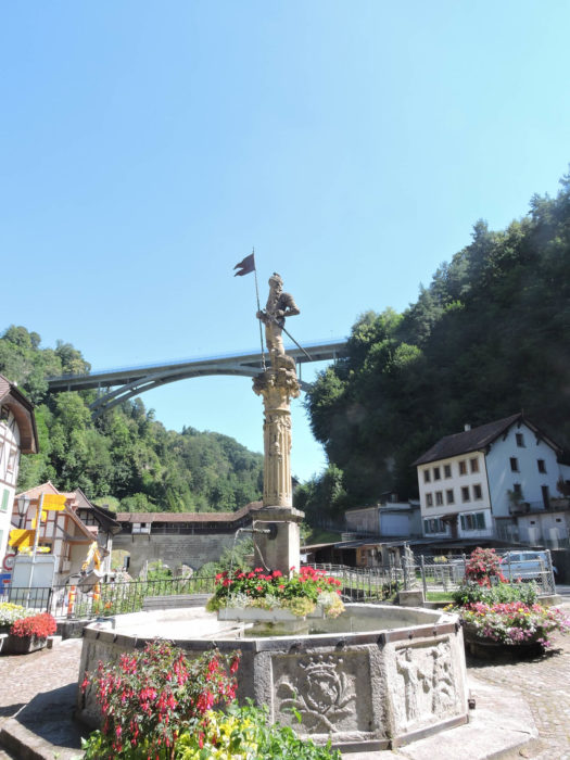
| From there, a road leads to the heart of the city, following the course of the Bern Road to the ancient Zähringen Bridge, emblem of the city’s foundation in the 12th century. The Zähringen Bridge, built in 1924 to replace a large suspension bridge, is now closed to motor vehicles.
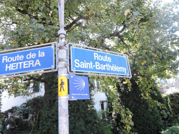
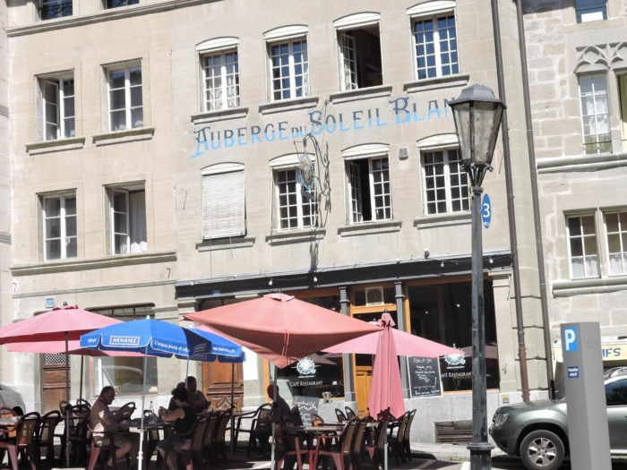
However, by forsaking this path marked by modernity, the pilgrim risks underestimating the hidden splendor of the Lower Town of Fribourg, affectionately nicknamed « la Basse » by its inhabitants, where reminiscences of Compostela blend with the ancient stones. To access it, a prior stop is necessary: to embark on the St. Barthélemy Road at the Kessler intersection… |
 |
 |
| …before turning towards François Arsent Street, then following the Path of the Red Tower. |
 |
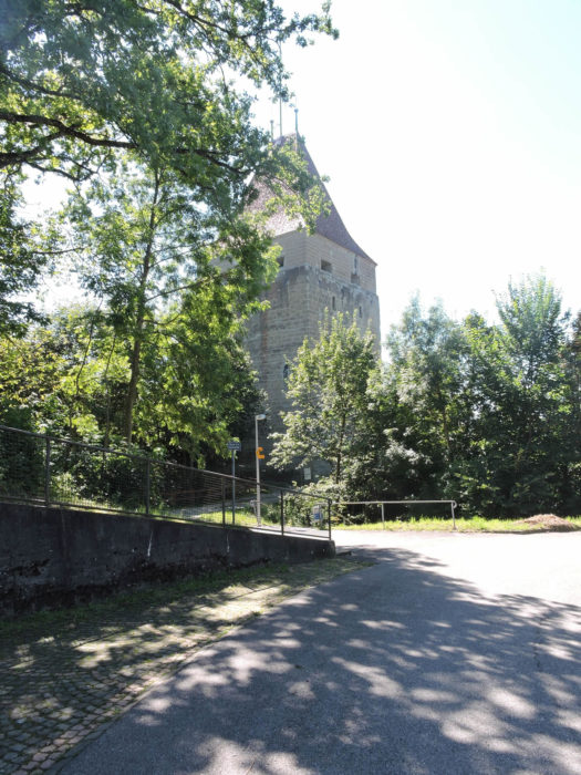 |
Erected in the heart of the 13th century, the Red Tower stands as an immemorial sentinel, keeper of buried secrets and forgotten legends. From gloomy prison to symbol of past greatness, it embodies the indomitable spirit of Fribourg, preserving the heritage of bygone centuries.
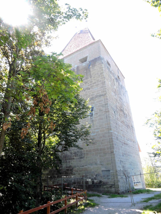
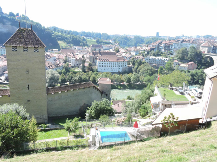
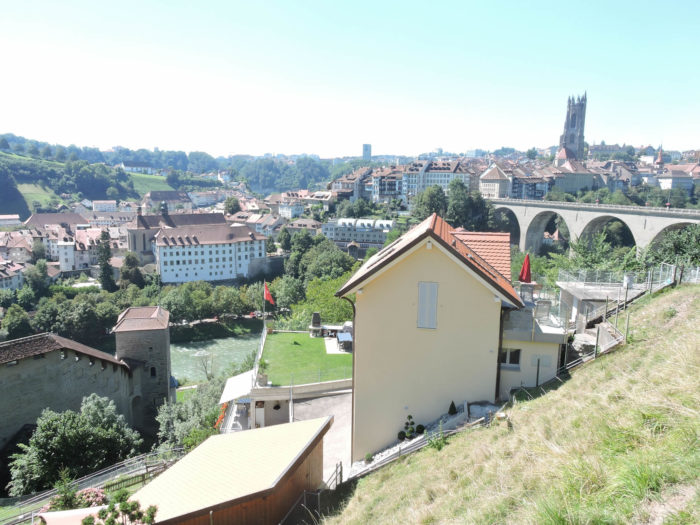
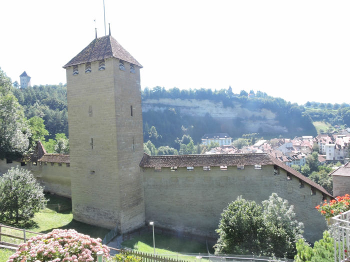
| In the heart of the centuries, erected in 1157, a once fortified city stood, once protected by the majestic ramparts of a castle now swallowed by the ravages of time. Thus, was born Fribourg, embraced by the graceful meander of the Sarine, whose whispers accompanied the rapid development of its urban arteries. Gradually shaped by the breath of history, the city adorned itself with imposing defenses, silent witnesses of a bygone era. Over the years, the walls rose, like an impenetrable fortress, until their completion in the 15th century, a symbol of the power and security they conferred upon its inhabitants. Centuries passed, and with them, the imprint of time molded these ramparts, transforming them according to the necessities until the end of the 17th century. But the 19th century, hungry for modernity, dealt a blow to this stone fortress, initiating its slow demolition to offer the city a more spacious and airy space, conducive to its expansion. However, like a phoenix rising from the ashes, Fribourg still surprises today with the splendor of its heritage. From its ancestral walls, stretching over 2 km, adorned with 14 lofty towers, the city retains the largest collection of medieval fortifications in Switzerland, immutable vestiges of a glorious era. In the caressing meander of the Sarine, the ramparts stand, silent witnesses of past grandeur, offering visitors a fascinating dive into the immemorial history of the city. Tomorrow, we will return to tread these history-laden paths, to contemplate these architectural wonders that defy time and oblivion.
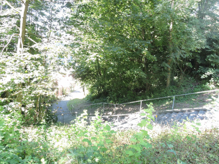
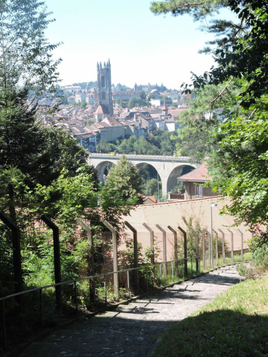
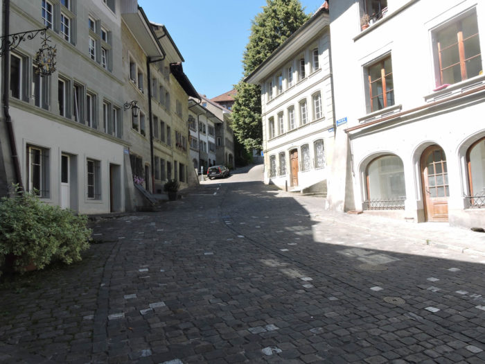
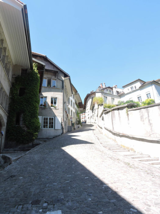
In a winding descent, the Path of the Red Tower unfolds before you, meandering among the remnants of the past. Like a contemplative painter before his canvas, the breathtaking view of the city and its ramparts stretches as far as the eye can see, enchanting our gaze with its timeless beauty. |
 |
 |
 |
 |
| And what about this owner, whose barbecue proudly stands in the heart of the city, an unusual symbol of intrepid modernity that defies conventions. The Zähringen Bridge is omnipresent. |
 |
 |
| The journey continues, rising above the Cats’ Tower, erected in the second half of the 16th century, like a solitary sentinel scanning the horizon. Set into the ramparts, it gracefully plunges into the turbulent gorges of the Sarine, offering an intoxicating spectacle of mystery. Then, like a rhapsody, the journey continues, descending the steep slopes with insatiable fervor. |
 |
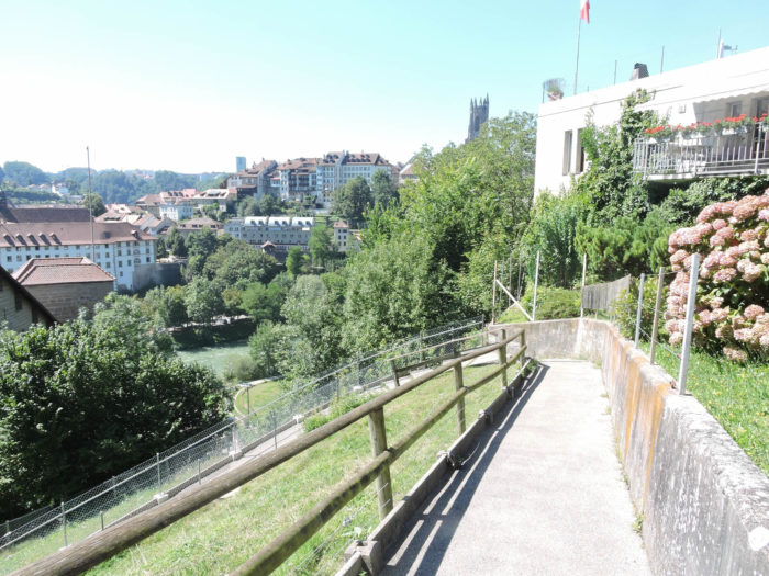 |
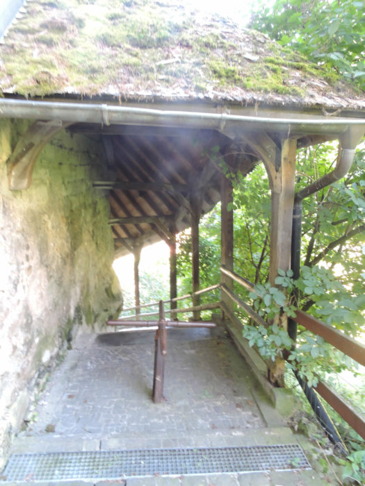
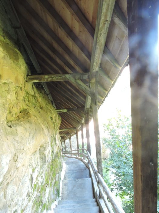
| Lower down, the route ventures with delight. It even slips into the thickness of the cliff and the rampart, like an explorer discovering the buried secrets of time. |
 |
 |
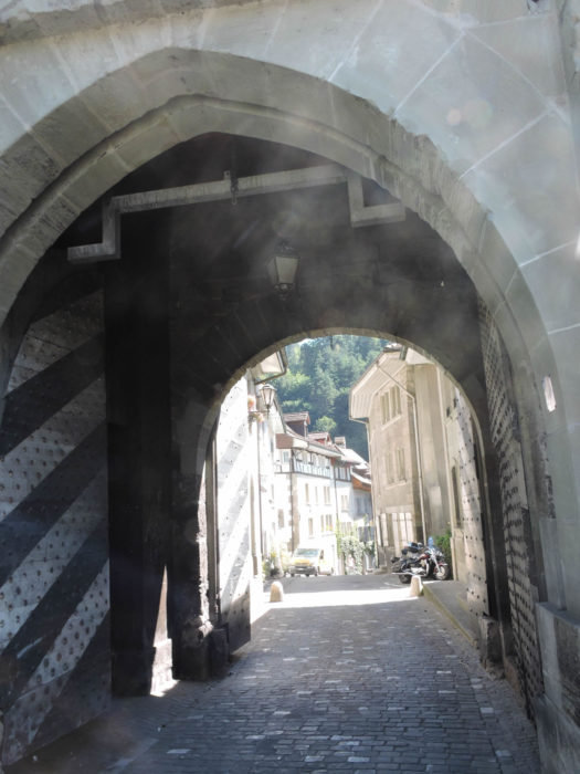
| Thus, rooted in the past, it emerges on Forge Street, an eloquent gateway leading to the Lower Town. There, it crosses the threshold of the Gate of Bern, a secular monument from the 13th century, where the heavy doors still bear witness to the passage of ages and the murmurs of history. |
 |
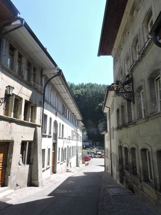 |
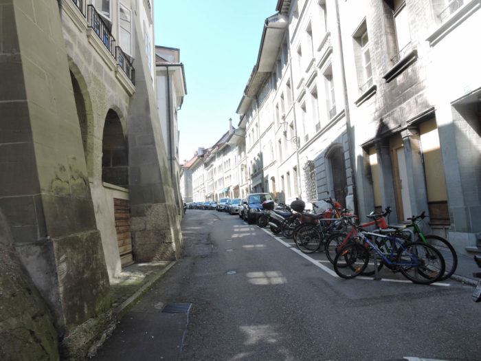
| The Lower Town spreads like a living tableau, woven with emblematic neighborhoods such as the Bourg, the Auge, and the Neuveville, intertwined by the singing waters of the Sarine, crossed by modest bridges of wood and stone. Forge Street, on the other side of the watercourse, was integrated only in the heart of the 13th century, adding a new thread to the colorful fabric of the city. The cafes-restaurants of the « Basse » stand like sentinels of time, their facades imbued with a secular history and a reputation that spans the ages. The ancestral rivalries between neighborhoods, between the « dog eaters » and others, have sculpted the tumultuous narrative of the city, intertwining in the meanders of the past until the day when quarrels subsided, allowing the « Basse » to flourish into a peaceful quarter of Fribourg.
At the bend of Forge Street (Rue des Forgerons), the traveler reaches the melodious edge of the Sarine. From there, other paths open up, leading to the majestic bridges of Gottéron, the venerable towers of Bourguillon, Dürrenbühl, or Gottéron. The Via Jacobi does not venture there, but for the curious, one can return there tomorrow. |
 |
 |
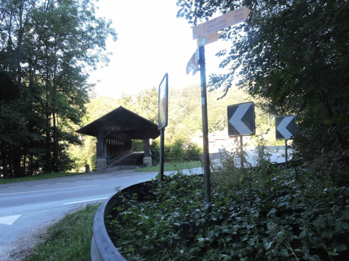
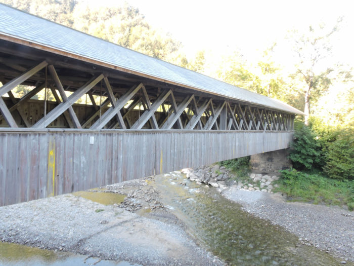
| Beyond the shimmering waters of the Sarine, the route gracefully winds under the majestic arch of the Bern Bridge. Like an age-old witness of ancient times, this old wooden bridge exudes an unparalleled charm, capturing the awed gazes of travelers enamored with stories and mysteries. |
 |
 |
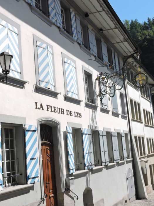
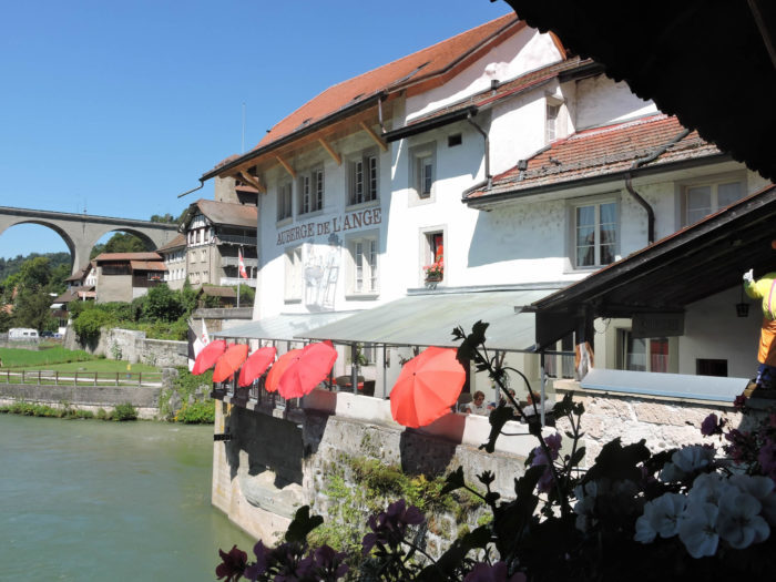
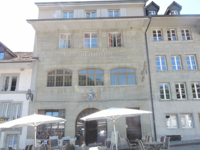
| A stop at the Auberge de l’Ange, legendary among legends, is a must for tranquility. The feet of the establishment delight in the gentle caresses of the river, while the curious are drawn in by the enchanting swirls of the opposite bank’s currents. |
 |
 |
| Continuing on its way, the route reveals itself in the bright light of Petit Saint-Jean Square, like a jewel nestled in the alleyways. |
 |
 |
| Soon, it leaves the hustle and bustle of the Auge district to majestically climb towards the Bourg district, steeped in solemnity. Under the auspices of the cathedral, it climbs with determination up Samaritan Street. |
 |
 |
| At the top of this ascent, walkers are carried away by the dizzying slope of Stalden, sliding with delight to the majestic Grand Rue. |
 |
 |
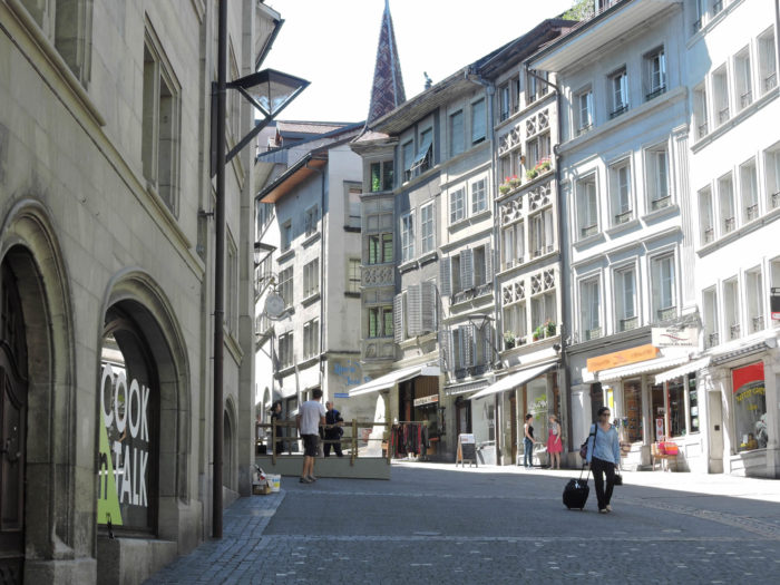
| Then, like a soothing breeze, the slope softens, and the route harmoniously blends into the enchanting backdrop of Grand Rue and its secular arcades, gently approaching the sacred heights of the cathedral, like a silent procession in search of spirituality. |
 |
 |
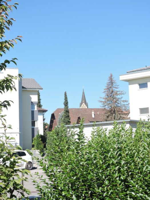
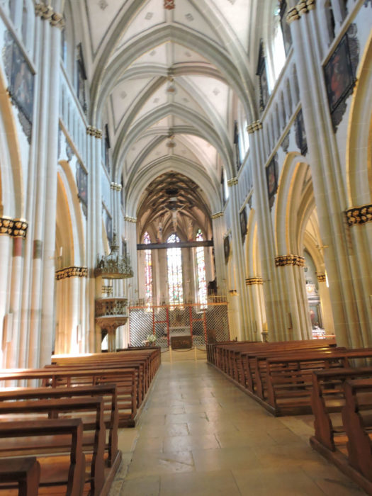
| The majestic Saint-Nicolas Cathedral, erected between 1280 and 1490, stands like a beacon of Gothic architecture, imbued with sublime details and splendid stained-glass windows, evoking an anthem to grandeur and spirituality. The heavens seem to caress its soaring spires, silent witnesses of centuries past. Will you dare to climb the 368 steps of its unfinished tower, leaving in your wake the veil of whispered legends, evoking the lack of money that would have hindered its completion? At the top, a divine reward awaits you, a panoramic view, a living postcard of the city spread out beneath your feet, a canvas where every street, every roof, every story is drawn with timeless poetry. |
 |
 |
In the imposing shadow of the cathedral lies the famous Rue des Épouses (spouses), winding and mysterious, pouring its charm onto the bustling Grand Rue.

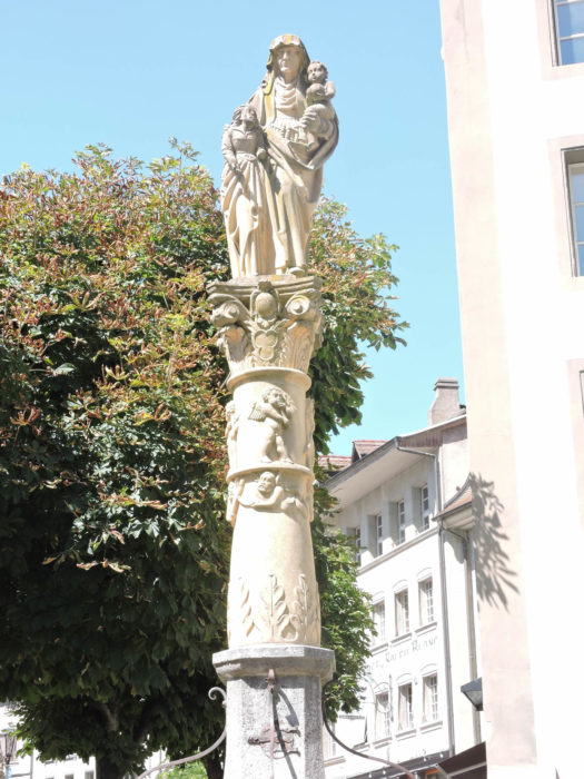
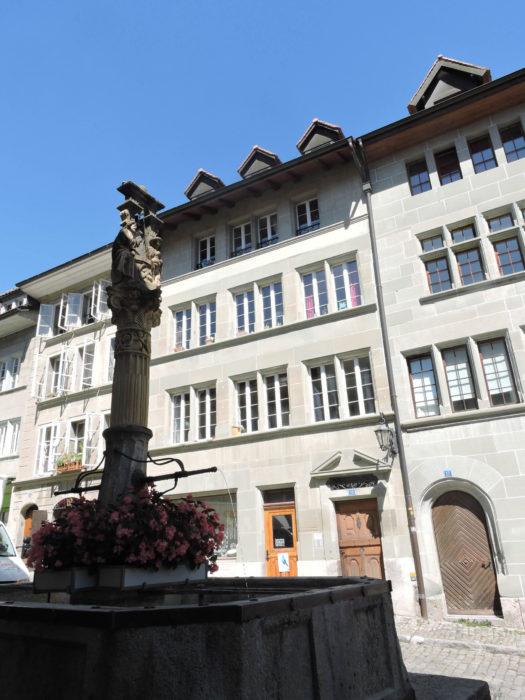
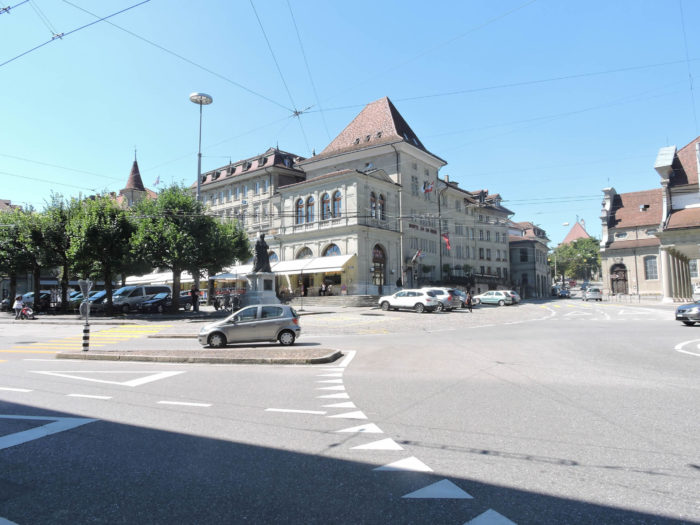
| Fribourg, like a jewel in the heart of the Alps, reveals its splendor to those who can see beyond appearances. Its cobbled streets, shaded squares, and secular facades tell the story of a community, of a proud and welcoming people. The city, modestly populated by nearly 38,000 souls, takes on the airs of a great metropolis when counting its suburbs, its surrounding villages, where more than 80,000 lives come alive. Facing the cathedral, a vast crossroads unfolds, a theater where the hustle and bustle of passersby mingle with the tranquility of monuments. Place des Ormeaux, like a square of conviviality, hosts in its center the statue of Grégoire Girard, a Franciscan scholar and spiritual guide of the city, whose benevolent gaze seems to watch over its faithful. Further on, like an artery pulsating to the rhythm of urban life, Via Jacobi opens onto City Hall Square. |
 |
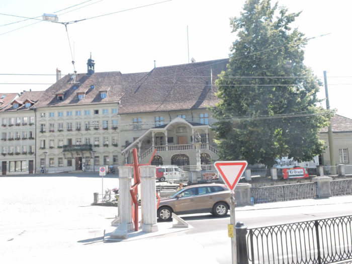 |
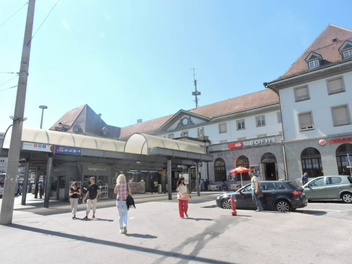
| To reach the train station, take the maze of Lausanne Street, lined with its shops, cross the hustle and bustle of Python Square, the vibrant beating heart of the city. |
 |
 |
 |
 |
If you aspire to a moment of tranquility, or rather an escape from time – because let’s admit it, a single day is not enough to exhaust all the riches of this city – indulge in the luxury of a thorough exploration of Fribourg. Simply wandering its cobbled streets is a journey into the meanders of history, a dive into the soul of a city forged by the centuries. At the Tourist Office, you will find the equipment necessary for this temporal expedition. Detailed maps, erudite guides, expert advice: everything is done to make your discovery of Fribourg memorable. Fribourg, a city with a complex and fascinating personality, is a rare gem in the heart of Europe, where modernity harmoniously coexists with the remains of a glorious past. Certainly, time has left its indelible mark on the secular ramparts, the lofty towers, and the imposing gates, but the soul of the city remains intact, preserved in these silent witnesses of its eventful history.
We will reveal in the next stage the major route of this visit.
Accommodation on Via Jacobi
- Gîte Hauptstrasse 57, Heitenreid; 079 787 10 78/079 297 06 12; Youth hostel, breakfast
- Theo Meyer, Hauptstrasse 44, Heitenreid; 026 495 17 17; Guestroom, breakfast
- Hotel Restaurant Sternen, Hauptstrasse 57, Heitenreid; 026 495 11 16; Hotel, dinner, breakfast
- Andreas Schwaller, Cheerstrasse 3, Sankt Antoni; 026 495 11 15; Gîte, breakfast
- Gîte Burgbühl 50, Sankt Antoni; 026 495 11 73; Youth hostel, breakfast
- Andreas Käser, Antoniusweg 24, Sankt Antoni; 026 494 10 32/079 869 15 53; Guestroom, dinner, breakfast
- Ruth Pauchard, Juchweg 5, Tafers; 026 494 10 85; Guestroom, breakfast
- Ulrike Fischer, Allmendstrasse 15, Tafers; 026 494 13 62; Guestroom, breakfast
- Hôtel Taverna, Freiburgstrasse 2, Tafers; 026 494 73 73; Hotel***, dinner, breakfast
- Notre Dame de la Maigrauge, Chemin de l’Abbaye 2, Fribourg; 026 309 21 10; Accueil chrétien, breakfast
- Monastère de Montorge, Chemin de Lorette 10, Fribourg; 026 322 35 36; Accueil chrétien, dinner, breakfast
- Couvent des Cordeliers, Rue de Morat 6, Fribourg; 026 345 11 60; Accueil chrétien
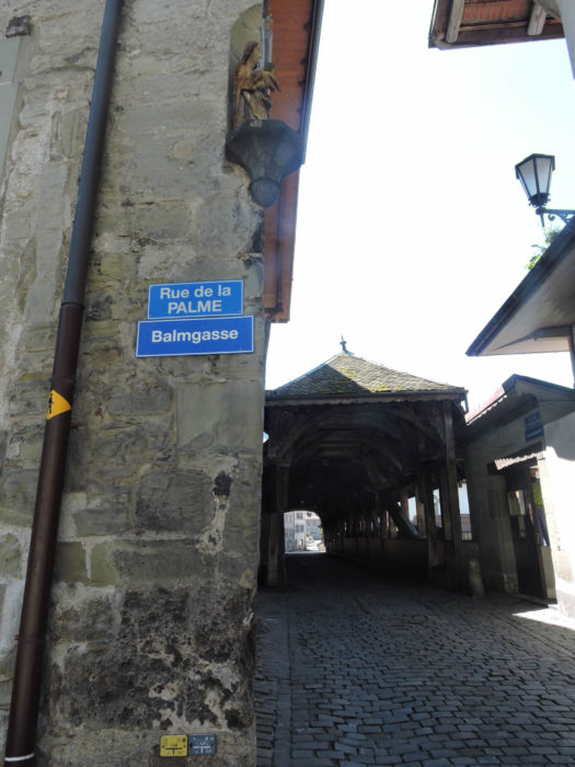
- Andrea Schuppisser, Rue de la Palme 2, Fribourg; 079 792 95 52; Accueil jacquaire
- Gîte Rue de l’Hôpital 2, Fribourg; 026 323 19 16; Youth hostel
- Convict Salesanium, Avenue du Moléson 21, Fribourg; 026 351 11 11; Youth hostel
- Nelly Kuster, Rue des Forgerons 17. Fribourg; 026 322 42 35; Guestroom, cuisine
- Meyer Stanek, Rue Grimaux 2, Fribourg; 026 322 00 88/076 494 56 80; Guestroom, breakfast
- Rosa Pievy, Route de la Gruyère 16, Fribourg; 079 777 92 79; Guestroom, breakfast
- Zappelli, Route de la Gruyère 19, Fribourg; 026 424 02 74/076 494 56 80; Guestroom, breakfast
- Béatrice Cudry, Route de la Sarine 36, Fribourg; 026 322 45 70; Guestroom, breakfast
- B&B Habegger, Heiteraweg 80, Fribourg; 026 481 17 71; Guestroom, breakfast
- Hôtel du Faucon, Rue de Lausanne 76, Fribourg; 026 321 37 90; Hotel**, breakfast
- Hôtel Hine Adon, Rue Pierre Aeby 11, Fribourg; 026 322 37 77; Hotel**, breakfast
- Hôtel de la Rose, Rue de Morat 1, Fribourg; 026 351 01 01; Hotel****, breakfast
- Hôtel Aux Remparts, Chemin Montrevers 1, Fribourg; 026 347 56 56; Hotel****, breakfast
- Hôtel Elite, Rue du Criblet 7, Fribourg; 026 350 33 60; Hotel**, dinner, breakfast
- Hôtel Alpha, Rue du Simplon 13, Fribourg; 026 322 72 72; Hotel***, dinner, breakfast
Finding accommodation on this stage shouldn’t pose major difficulties. You’ll be in cities with all the necessary amenities. However, it’s still wise to make reservations for peace of mind.
Feel free to add comments. This is often how you move up the Google hierarchy, and how more pilgrims will have access to the site.
|
 |
Next stage : Stage 13b: Old City of Fribourg-Visit |
|
 |
Back to menu |