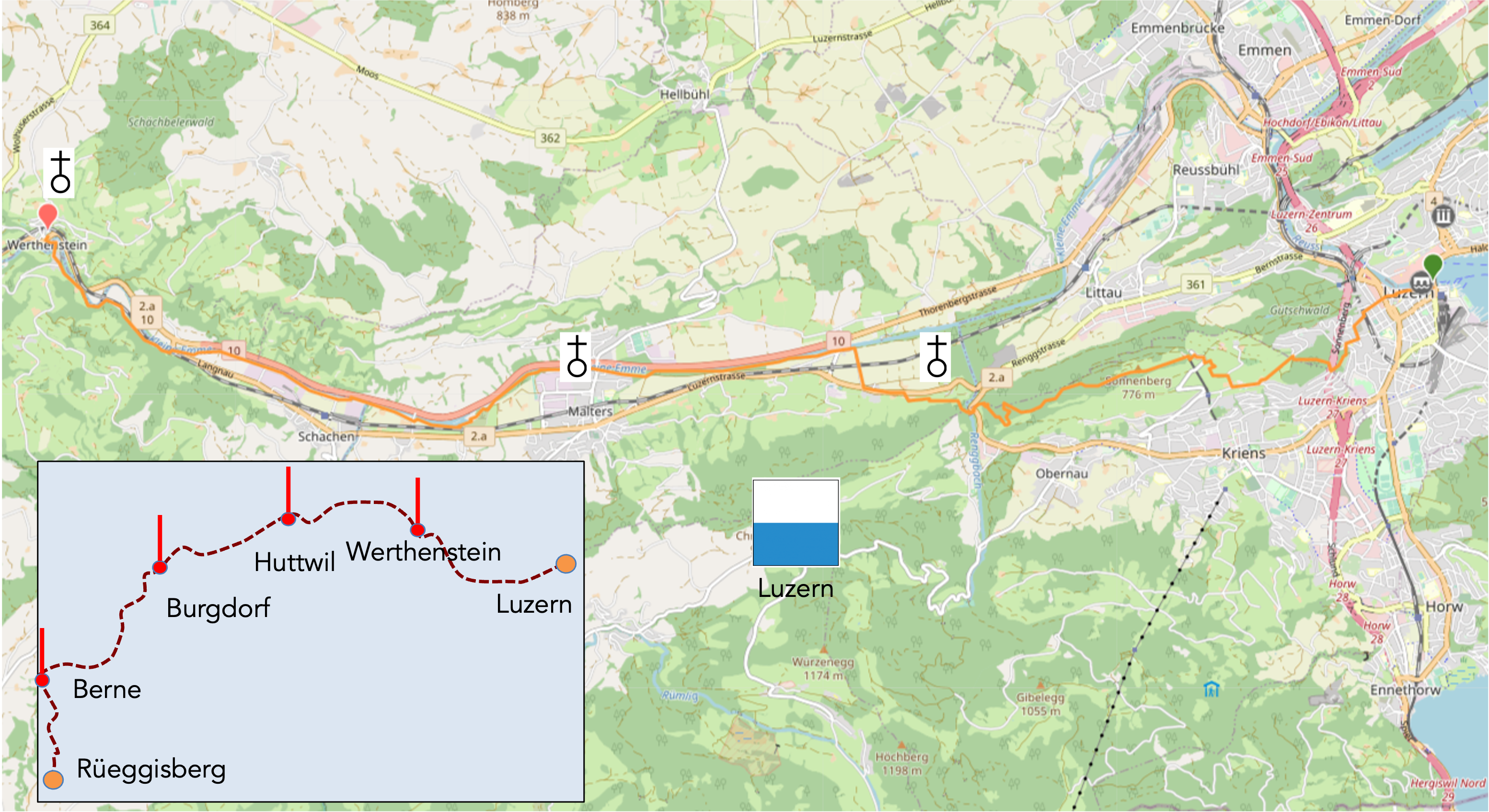
Across the heights of Luzern via Via Jacobi 3
DIDIER HEUMANN, ANDREAS PAPASAVVAS
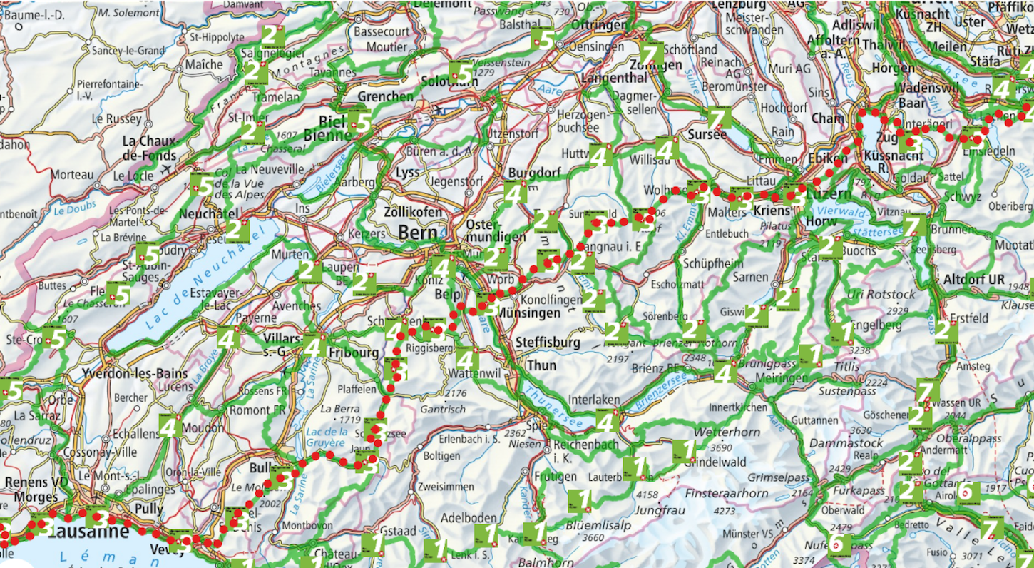
We divided the course into several sections to make it easier to see. For each section, the maps show the course, the slopes found on the course, and the state of the route (paved or dirt roads). The courses were drawn on the « Wikilocs » platform. Today, it is no longer necessary to walk around with detailed maps in your pocket or bag. If you have a mobile phone or tablet, you can easily follow routes live.
For this stage, here is the link:
https://fr.wikiloc.com/itineraires-randonnee/de-lucerne-a-werthenstein-par-la-via-jacobi-3-136352720
|
Not all pilgrims are necessarily comfortable using GPS or navigating routes on a mobile device, and there are still many areas without an internet connection. For this reason, you can find several books on Amazon dedicated to the major Via Jacobi 4 route, which runs through the heart of Switzerland and over the Brünig Pass. The first guide leads pilgrims through the German-speaking part of Switzerland up to Fribourg, while the second continues through French-speaking Switzerland to Geneva. We have also combined these two books into a compact, lighter, and highly practical version. While the descriptions have been slightly condensed, they remain detailed enough to guide you step by step along the way. Recognizing the importance of traveling light, this latest edition has been designed to provide only the essentials: clear and useful information, stage by stage, kilometer by kilometer. The stages have been carefully adjusted to ensure accessibility and alignment with available lodging options. These books go beyond simple practical advice. They guide you kilometer by kilometer, covering all the crucial aspects for seamless planning, ensuring that no unexpected surprises disrupt your journey. But these books are more than just practical guides. They offer a complete immersion into the enchanting atmosphere of the Camino. Prepare to experience the Camino de Santiago as a once-in-a-lifetime journey. Put on a good pair of walking shoes, and the path awaits you.
|
|
 |
If you only want to consult lodging of the stage, go directly to the bottom of the page.
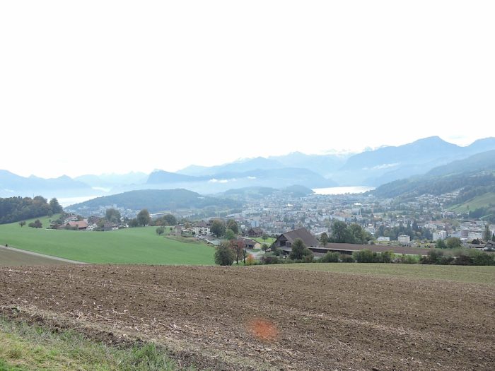
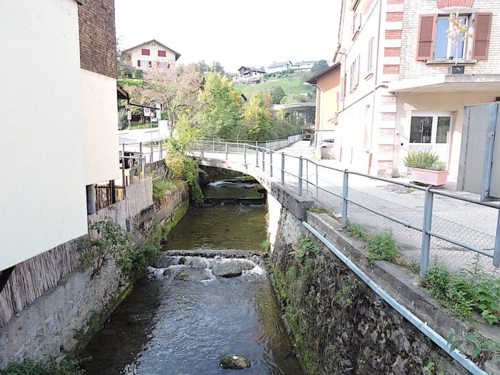
In the winding expanse of the Canton of Luzern, far from the glittering storefronts of watch boutiques that captivate so many travelers, lies a region with gentle contours reminiscent of a watercolor painting on the canvas of the Bernese Prealps. The districts unfold like chapters of a millennia-old story, and today, your route leads you through the Luzern district towards Werthenstein, in the Entlebuch district. In this land, where the Kleine Emme meanders, a river whose name whispers mystically through the valleys, there is no geographical coincidence with the Emme, the proud river of the Emmental. « Emme, » a simple Celtic word for river, casts its spell over these lands where waters originate near the Canton of Obwald, stroke the south of Luzern, linger in Entlebuch and Werthenstein before merging into the Reuss at Emmenbrücke, at the gates of Luzern.
 |
 |
Like a golden thread woven into the tapestry of Swiss hiking trails, the Via Jacobi 4 resembles a journey towards Santiago de Compostela, while the Via Jacobi 3, like an Alpine watercolor, sketches breathtaking panoramas. Sometimes allies, sometimes divergent, these two tracks traverse the Swiss Prealps, from the majesty of Lake Constance to the enchanting shores of Lake Geneva, reaching the gateway of Geneva. In Luzern, the temptation of the alternative route, Via Jacobi 3, unfolds its charms with unexpected elegance, offering an enchanting stroll before joining Via Jacobi 4 at Ränggloch. But at the entrance to Werthenstein, the routes finally part ways, leaving Via Jacobi 4 the route towards Bern, while Via Jacobi 3 delves towards Langnau. A ballet of tracks, a dance of stories, where each step is a new encounter with the beauty of the landscape and the richness of history. It is ironic when, from Einsiedeln, Via Jacobi 4 veers towards Interlaken and Fribourg, thus contradicting the signs here in Luzern. A paradox that is both intriguing and indicative of the mysteries that sometimes surround the routes laid out by SchweizMobil. Thank you, ladies and gentlemen of Schweiz Mobil! From Einsiedeln, it is Via Jacobi 3 that leads to Luzern via Zug, and Via Jacobi 98, along the Lake of the Four Cantons, to Luzern. In Luzern, tracks cross and part, like lines in a fleeting poem written by the steps of travelers. And here, you find yourselves on an alternative of Via Jacobi 4. Thus, there are two Via Jacobi 4s in Switzerland, to simplify the journey for foreign visitors. Strange, isn’t it? In this strange symphony of tracks, where each note resonates as an echo of the past and a promise of the future, Via Jacobi 3 offers an enchanting alternative, leading towards distant horizons, through the twists and turns of Switzerland, to the blazing shores of Lake Geneva. In Luzern, at the heart of this mosaic of tracks, each route tells a story, each step opens a window onto the world, in a ceaseless ballet where the traveler becomes a poet and the route, his most beautiful poem.
Here is the course of Via Jacobi 3 that you will take in its first part from Luzern.
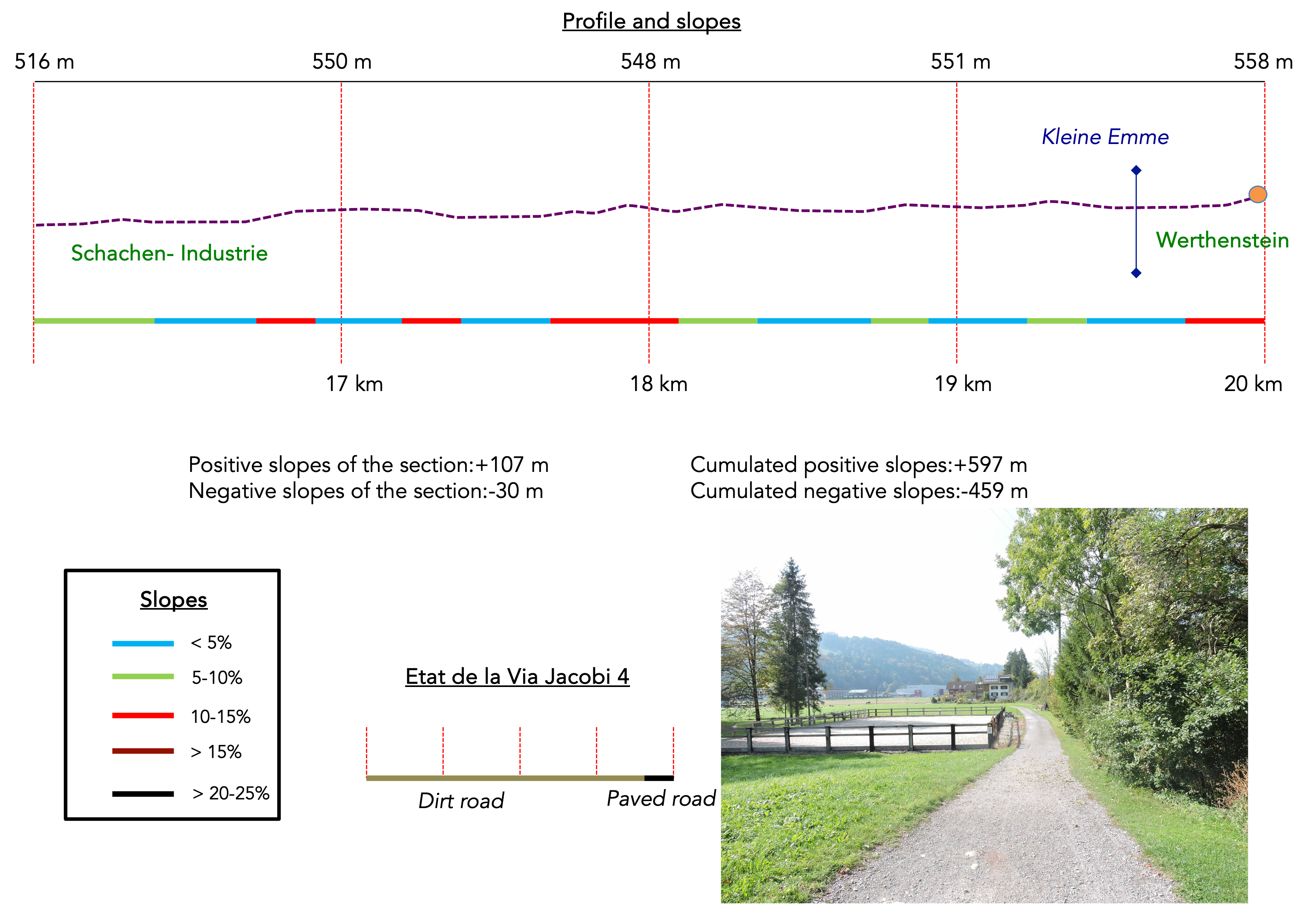
However, here, in this labyrinth of tracks, we instead recommend letting yourself be charmed by Via Jacobi 3. It majestically climbs to the heights of Sonnenberg, offering breathtaking views over the valleys below, before harmoniously joining Via Jacobi 4 near the muted and crystalline murmur of the Ränggbach stream. This enchanting route is presented here, despite being an additional kilometer longer than Via Jacobi 4. Sometimes, when beauty unfolds before you like a living painting, the temptation is irresistible, even if the elevation gain, at +597/-459 meters on Via Jacobi 3, contrasts with the +373m/-244m of Via Jacobi 4. But we prefer to warn you before your departure. There are serious signage issues on these routes. We will take you by the hand to help you avoid the pitfalls. It is also worth noting that in this region, resting havens are scarce, often forcing travelers to stop in modest villages to find refuge.
.

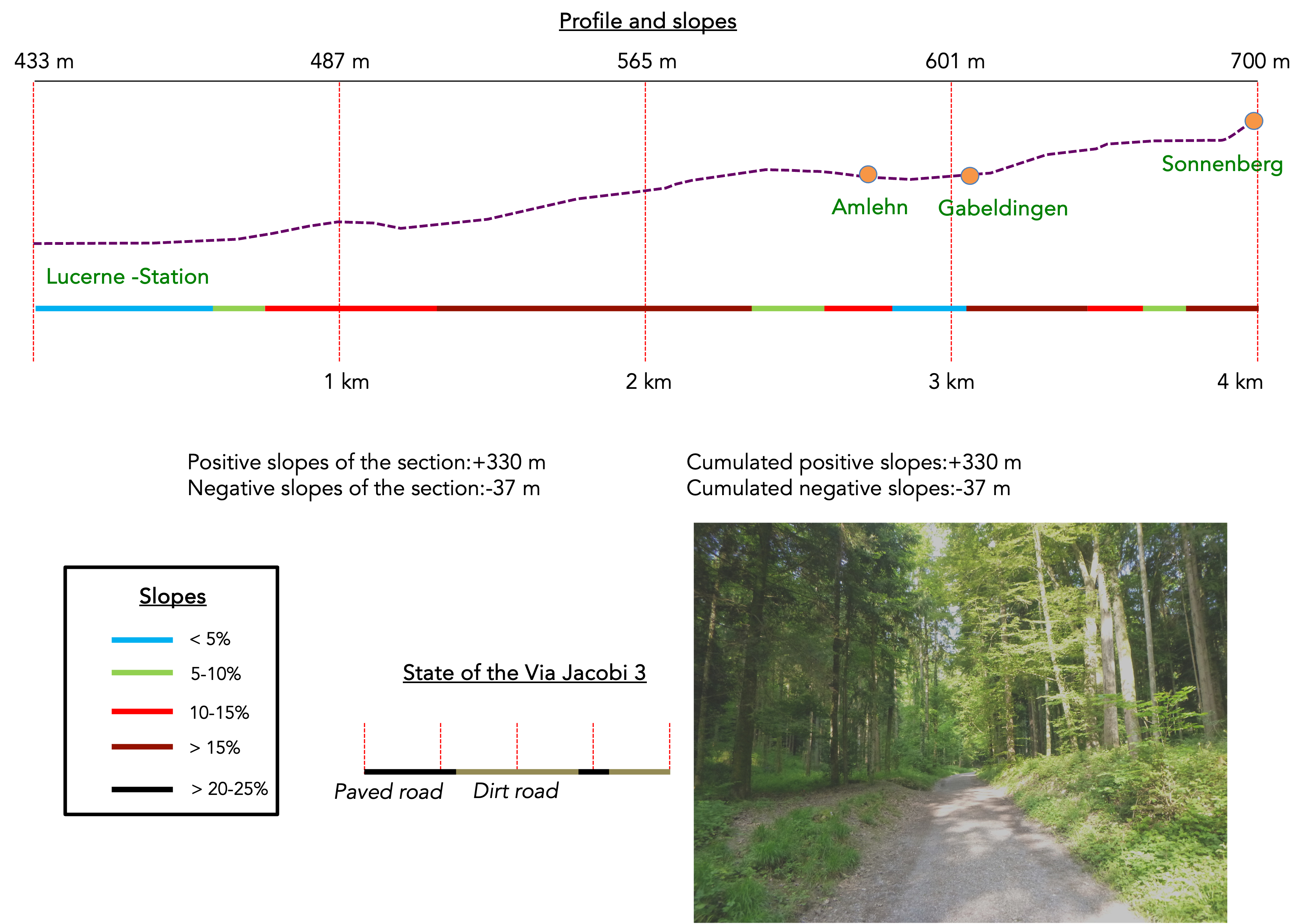
Difficulty level: The day’s elevation changes (+597 meters/-450 meters) on Via Jacobi 3 are quite significant. The only truly notable inclines, both positive and negative, occur at the beginning of the stage, when you must cross Sonnenbeg Mountain and pass through the Ränggbach Gorge. Afterwards, it’s almost a real walk, near the Kleine Emme River. But it climbs more steeply towards the end of the stage towards Werthenstein.
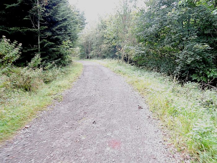
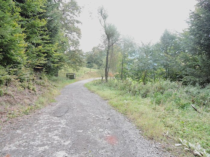
State of the Via Jacobi: IToday, the route is almost entirely on paths, which is beneficial for walkers:
- Paved roads: 3.6 km
- Dirt roads : 16.4 km
Sometimes, for reasons of logistics or housing possibilities, these stages mix routes operated on different days, having passed several times on these routes. From then on, the skies, the rain, or the seasons can vary. But, generally this is not the case, and in fact this does not change the description of the course.
It is very difficult to specify with certainty the incline of the slopes, whatever the system you use.
For those seeking « true elevations » and enthusiasts of genuine altimetric challenges, carefully review the information on mileage at the beginning of the guide.

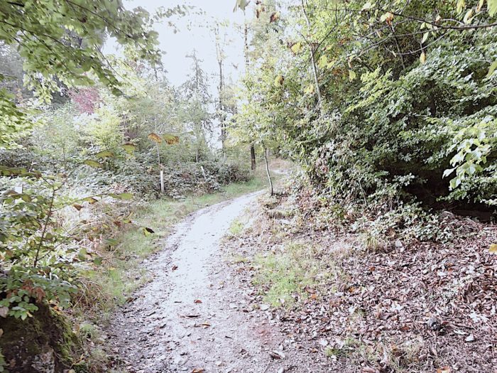
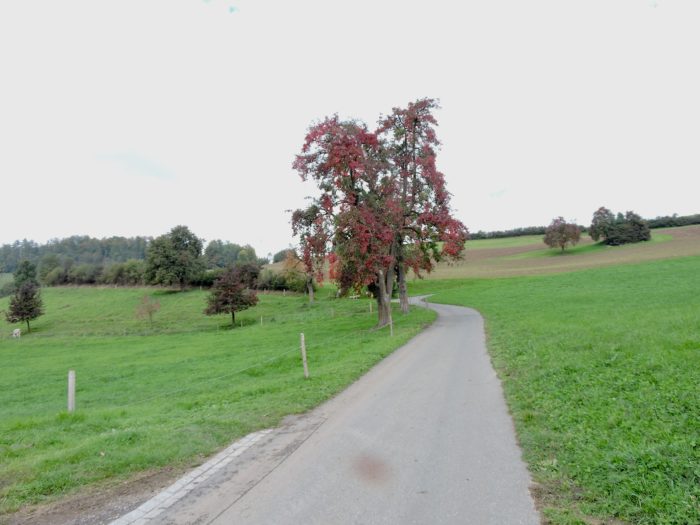
Section 1: From Luzern’s heights towards Sonnenberg Mountain
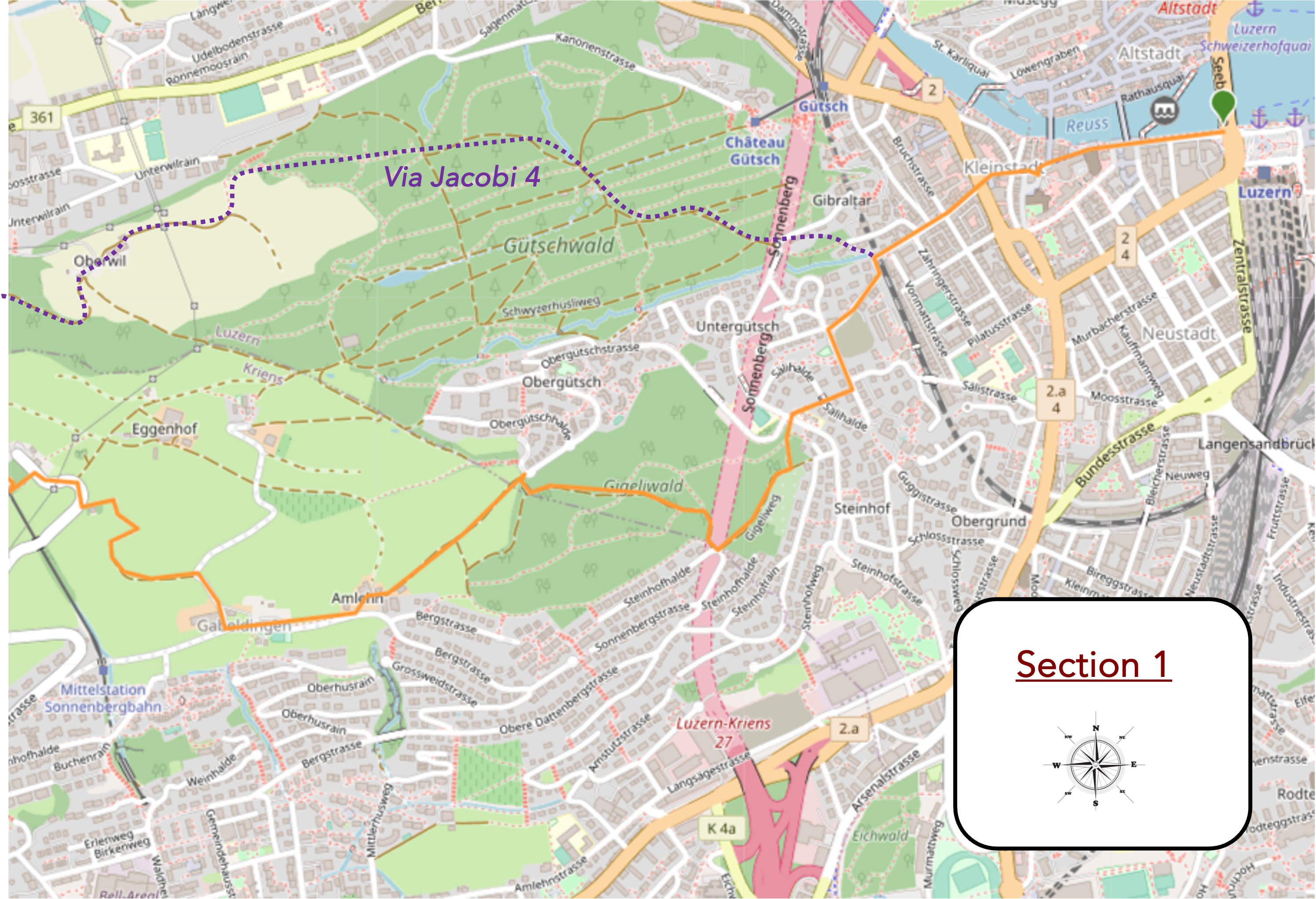
Overview of the route’s challenges: This route features marked slopes.
|
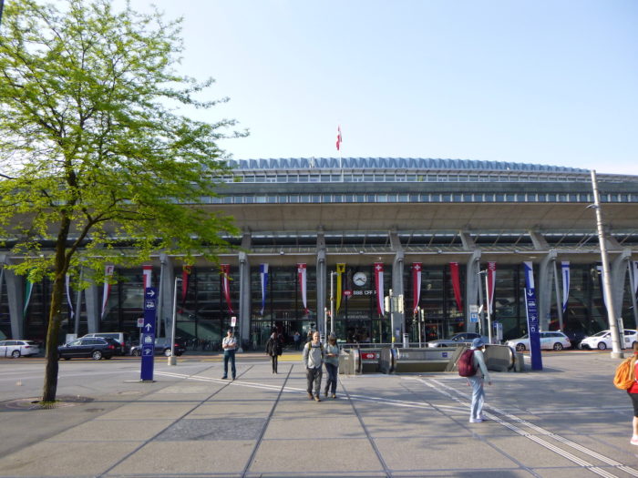
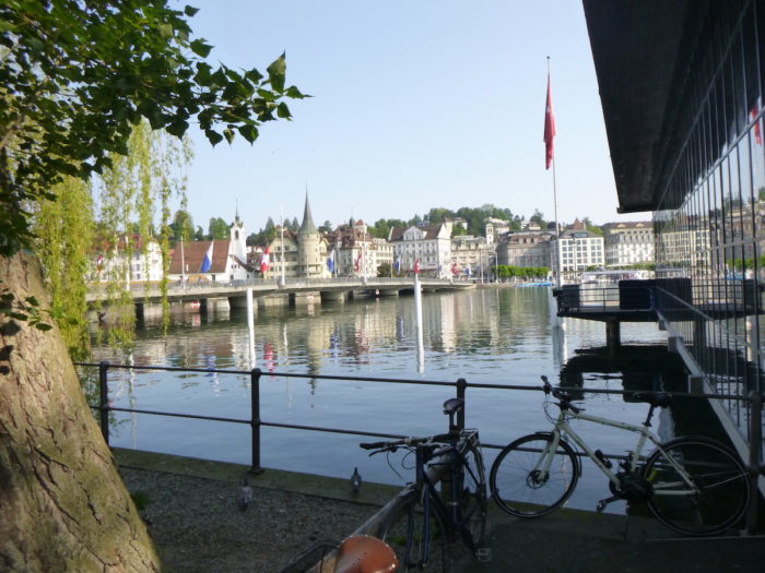
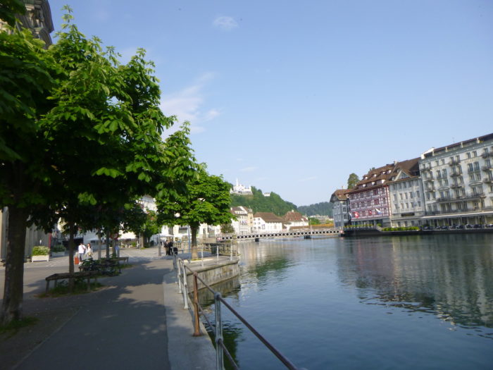
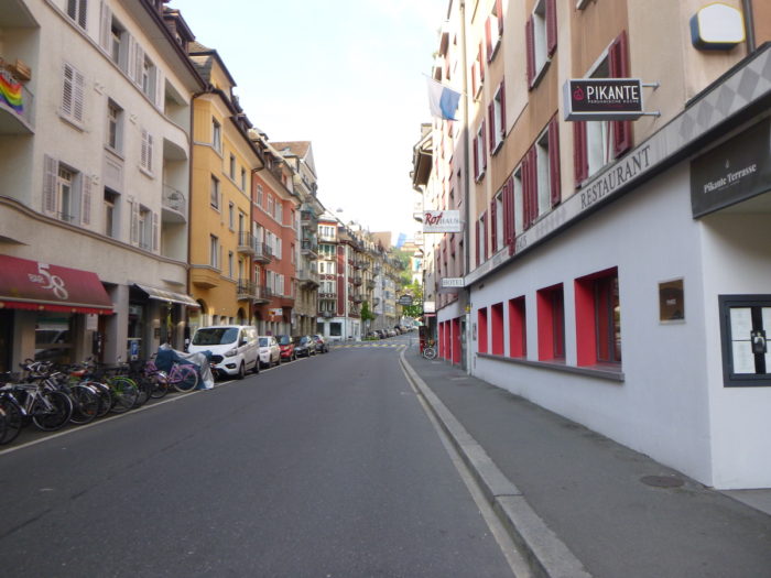
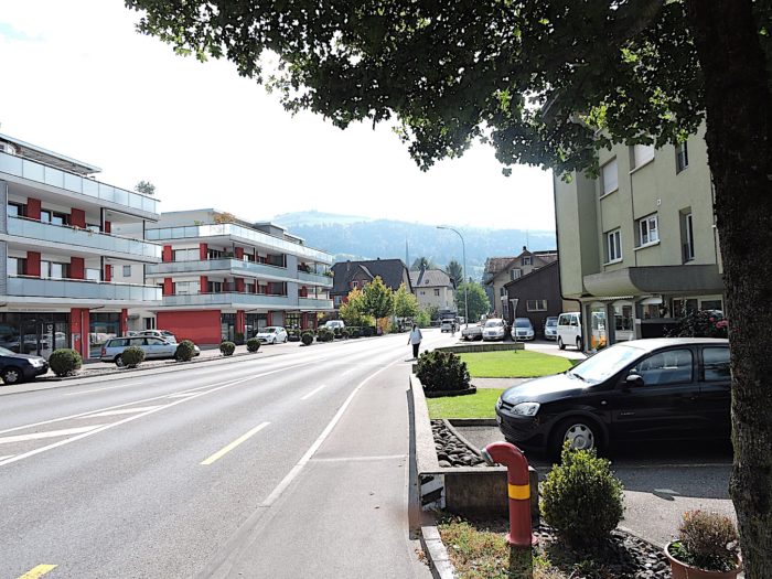
The journey begins with a gentle flow, orchestrated by the presence of the train station plaza and the majestic Culture and Convention Center, the KKL, which proudly stands before the tranquil mirror of the lake. This scene is not just a starting point, but an open door to a multitude of possibilities, an invitation to adventure and discovery.
|
 |
 |
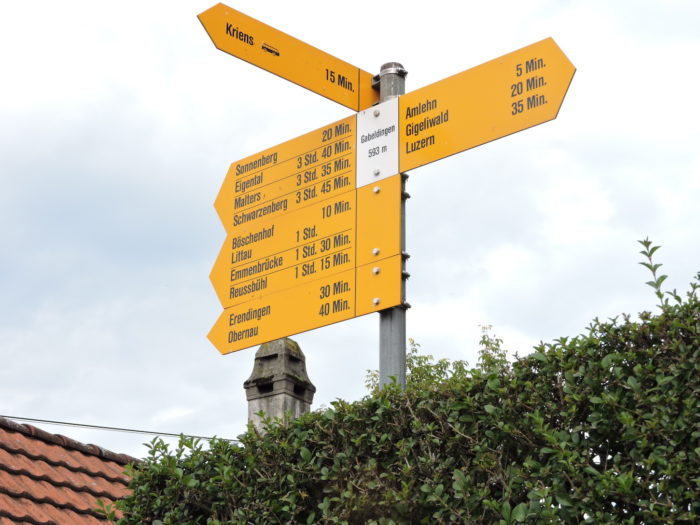
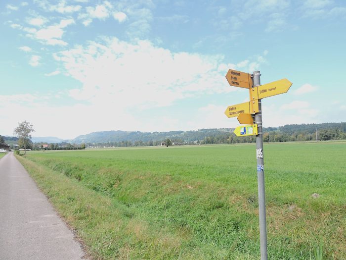
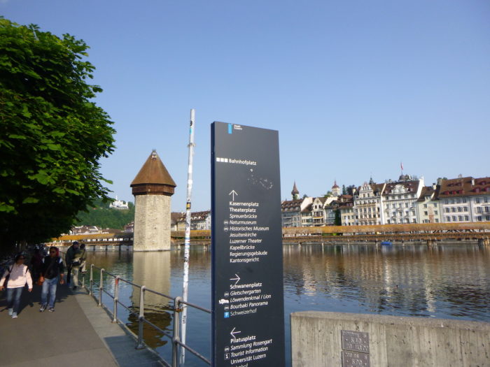
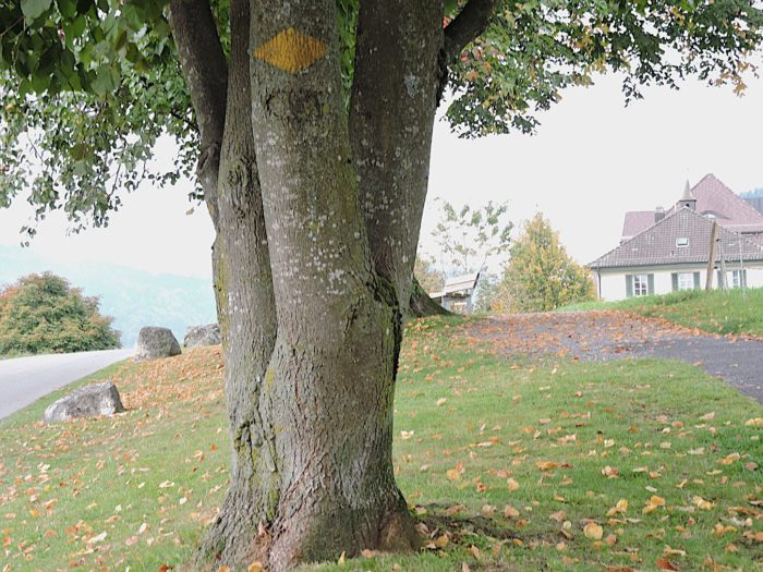
In this urban canvas where the excitement of departures blends with the whisper of promises, a towering sign stands like a modern oracle, unveiling the winding paths of hiking trails. Among these, Via Jacobi 4 and Via Jacobi 3 trace their shared route until the edge of the city. A significant detail lies in the blue rectangle encircling the number of Via Jacobi, always the faithful guide for pilgrims on their way to Compostela. On this sign, the preference seems to lean towards Via Jacobi 4, yet there is no cause for concern here, as both paths are common until the city exit.

|
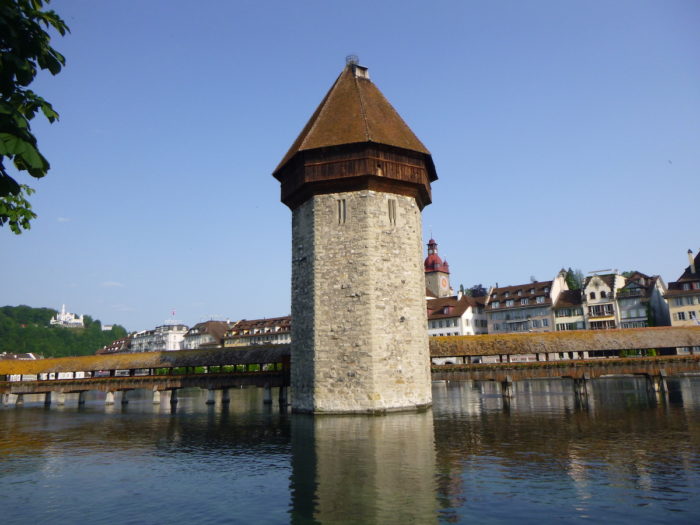
Echoing the past, the route follows the banks of the Reuss, respectfully bypassing the wooden bridge, the famous Kapellbrücke, a steadfast testament to ancient craftsmanship, perhaps explored with wonder the day before. Each wooden plank, aged by time, tells a story, each glint of light on the water whispers a secret of the city.
|
 |
 |
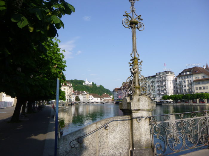
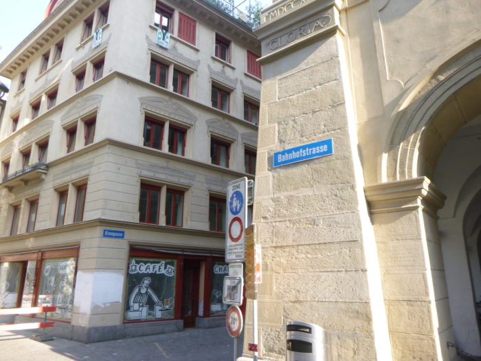
| In this fluid dance between time and space, your route leads you onto Bahnhofstrasse, where the threads of daily life intertwine. A humble bridge, a blend of metal and wood, gracefully extends, connecting the two riverbanks, like a bridge between two worlds. And there, rising nobly on the heights, stands the Gütsch Castle, a silent witness to the passage of centuries. |
 |
 |
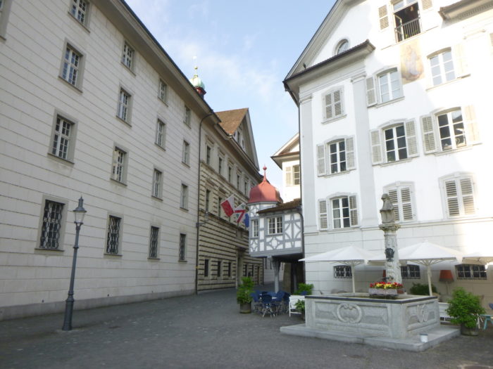
The old stones of Bahnhofstrasse still echo with the soft footsteps of past generations. Nearby, the Jesuit college stands, a learned guardian of ancient knowledge, erected as a bastion of wisdom at the heart of the city. Each stone, each window, seems to murmur an ode to wisdom and perseverance.
|
 |
 |
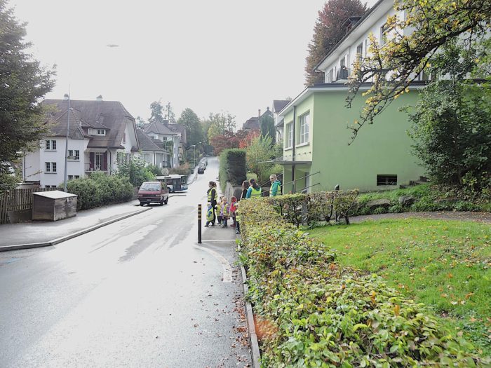
Crossing the city becomes a leisurely stroll, where the meandering streets are but threads easily followed. The route on this side is brief, yet it demands vigilance, as several tracks converge towards Malters, one of your next destinations. Follow closely the marked route towards Sonnenberg/Krienz, guided by the signs for routes 4 and 3.

| Bahnhofstrasse gradually reveals its urban treasures, leading eventually to the vibrant heart of the downtown of this other part of the city, further from the tourist ambitions. |
 |
 |
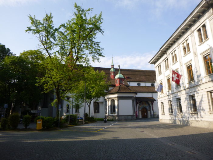
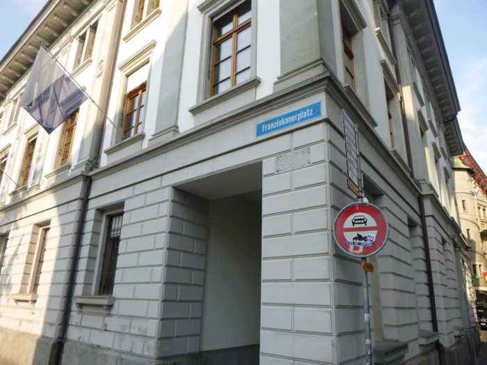
| The road, like a modern-day thread of Ariadne, then leads you near the Capuchin monastery, humbly nestled within the peaceful enclave of Franciskanerplatz. Here, time seems to stand still, as if the walls themselves murmured ancient prayers. |
 |
 |
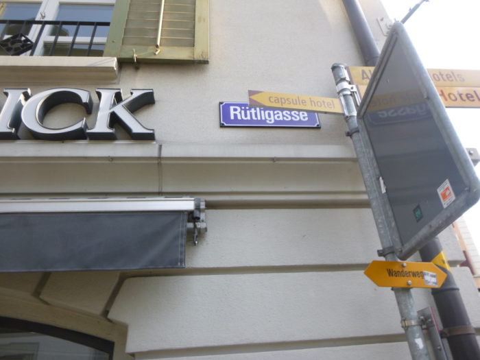
| Continuing your journey, you later take the picturesque Rütligasse, in a part noticeably less frequented by tourists. |
 |
 |
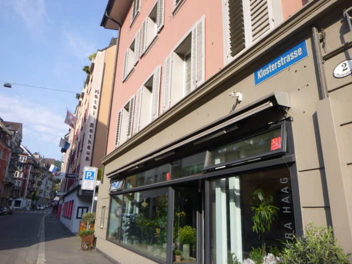
| Further on, your route leads you to Klosterstrasse, the first street to climb towards the heights that will free you from the confines of the city. |
 |
 |
Midway up, the route divides into two, presenting a choice that may seem trivial but is crucial for the pilgrim seeking their own path. To the right goes Via Jacobi 4, proudly bearing the blue square of direction, the immutable symbol of the route to Compostela. To the left, Via Jacobi 3 continues its journey, without this precious marker, but perhaps offering other riches to discover today.
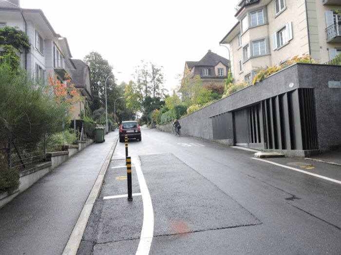
| On Via Jacobi 3, your journey then continues along Klosterstrasse, crossing the railway tracks with determined tranquility, marking the border between civilization and nature. |
 |
 |
| The winding streets succeed one another, like an intoxicating dance with the steep mountain sides. Bruchmattstrasse, Berglistrasse, names that resonate like secret whispers, guiding you towards ever more distant horizons. As you progress, the suburbs timidly awaken to your passage, silent witnesses to your solitary journey. |
 |
 |
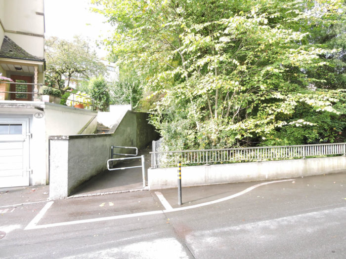
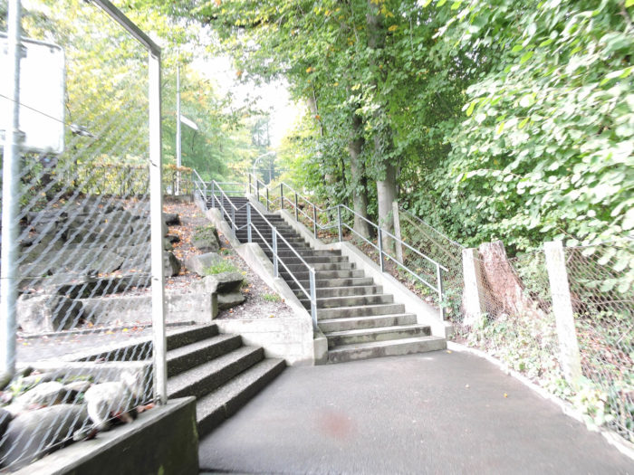
| At the summit of this ascent, Gigliweg opens up to you, an invitation to a more intimate adventure, first through a delicate stone staircase, then along the road that stretches out before you like a ribbon of hope. |
 |
 |
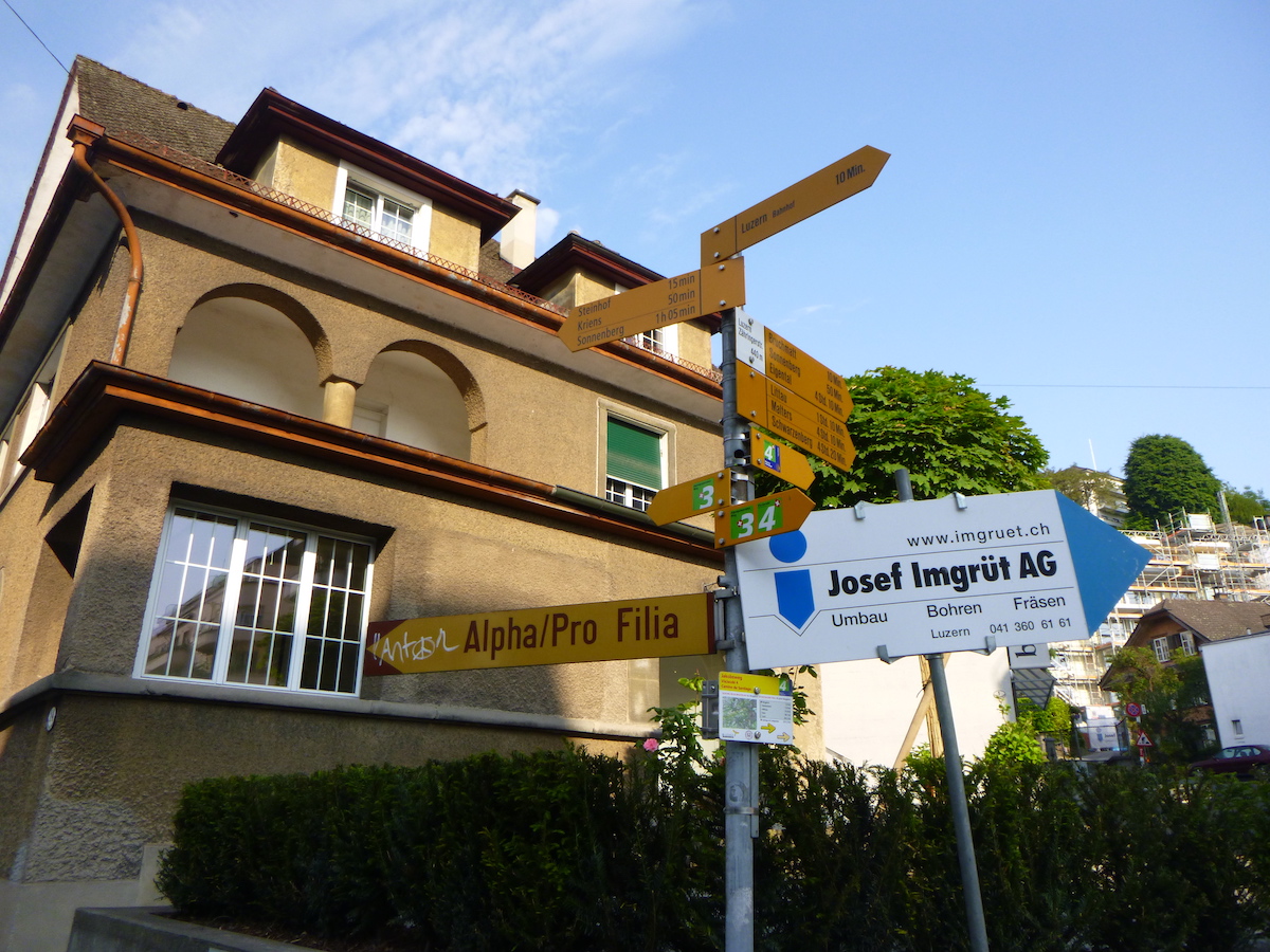
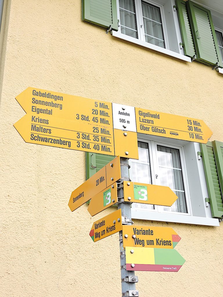
As you turn onto Steinhofstrasse, about 1.5 kilometers from your starting point, you leave Luzern behind. Yet, a sense of curiosity grips you as you observe the signage. The sign, seemingly oscillating between two worlds, indicates both Via Jacobi 4 and Via Jacobi 3. However, you are indeed walking on Via Jacobi 3, aware that Via Jacobi 4 will meet you in distant lands. Sometimes, an abundance of signs obscures rather than illuminates the route. What a pity, ladies and gentlemen of Swissmobil!

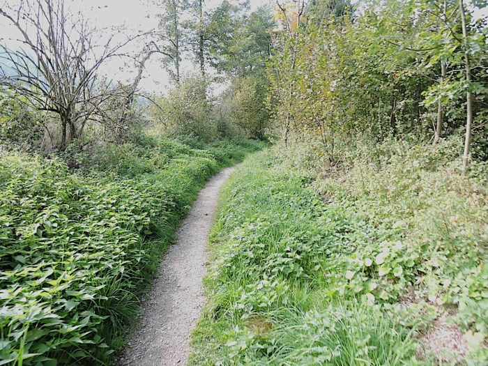
| A rocky trail then meanders through a modest undergrowth, revealing the secret gardens of Steinhof’s suburbs with each step resonating in a discreet symphony. |
 |
 |
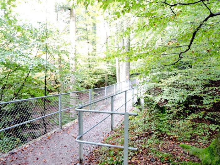
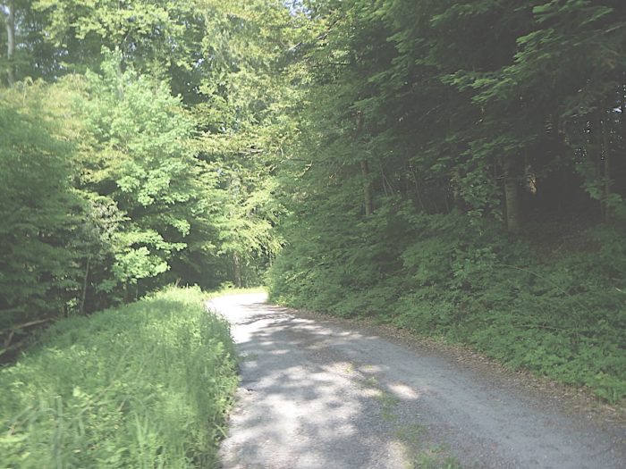
As you climb the steep slopes, the path leads you toward a small road perched on the heights of the Steinhof suburb. You are already ascending the flanks of Sonnenberg Hill, entering the enchantment of Gigeliwald Forest. Below you, the Gothard motorway, the A2, bravely plunges into a tunnel beneath Sonnenberg. In this labyrinth of greenery, confusion reigns supreme. Paths intersect, diverge, and reunite, offering a cacophony of options to the wandering mind. You know your next destination is the summit of Sonnenberg, and you must keep your eyes fixed on the direction signs. Here, there are two, perhaps even more, ways to reach it. We have chosen the route through Ober Gütsch, following the Krienz variant, but the directional signs also tempt the path toward Amlehn!

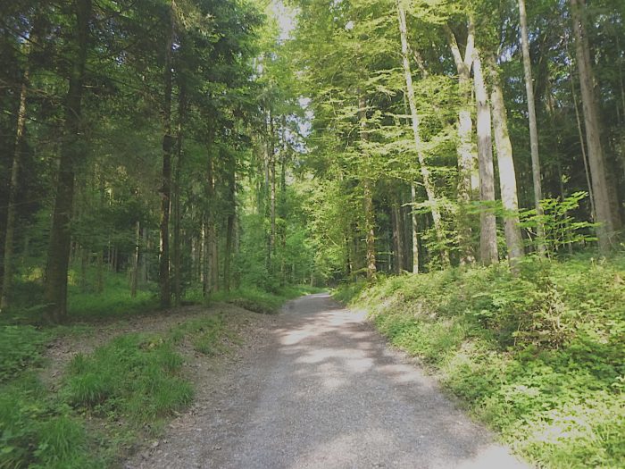
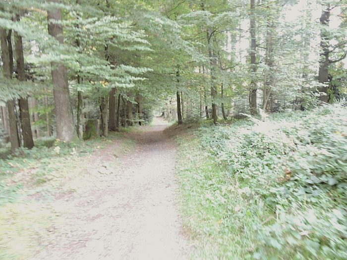
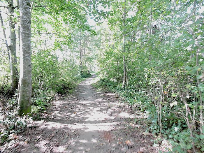
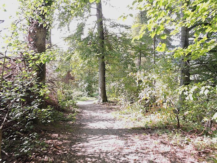
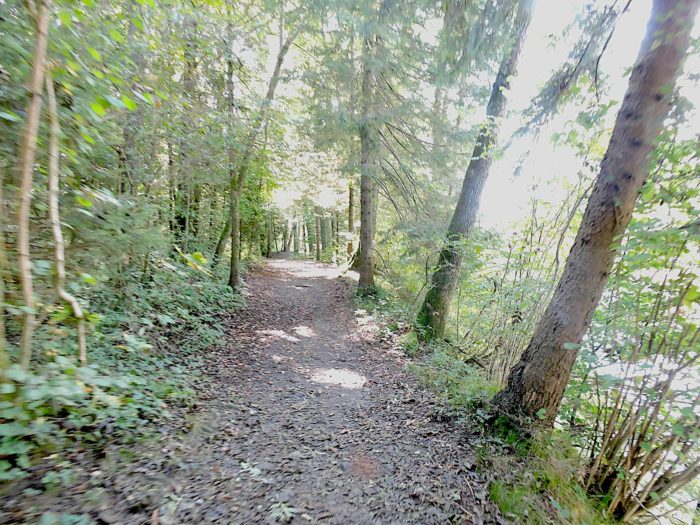
| The forest crossing here offers a comforting gentleness, between shadow and light on a frequently stony path. Each step is a caress for the soul, under the canopies of beeches, spruces, and hornbeam sprouts. |
 |
 |
| At the edge of the forest, the path gracefully crosses a bridge over a stream whose name remains unknown, before emerging onto a small tarmacked road at Ober Gütsch. |
 |
 |
| Once more, the directional signs challenge you to choose your next route. No trace of Via Jacobi 3 is visible here. You find yourself at a crossroads, torn between following the direction of Sonnenberg or opting for the route to Amlehn. We decided to follow the gentler slope offered by Amlehn, hoping to lighten the burden of our steps. |
 |
 |
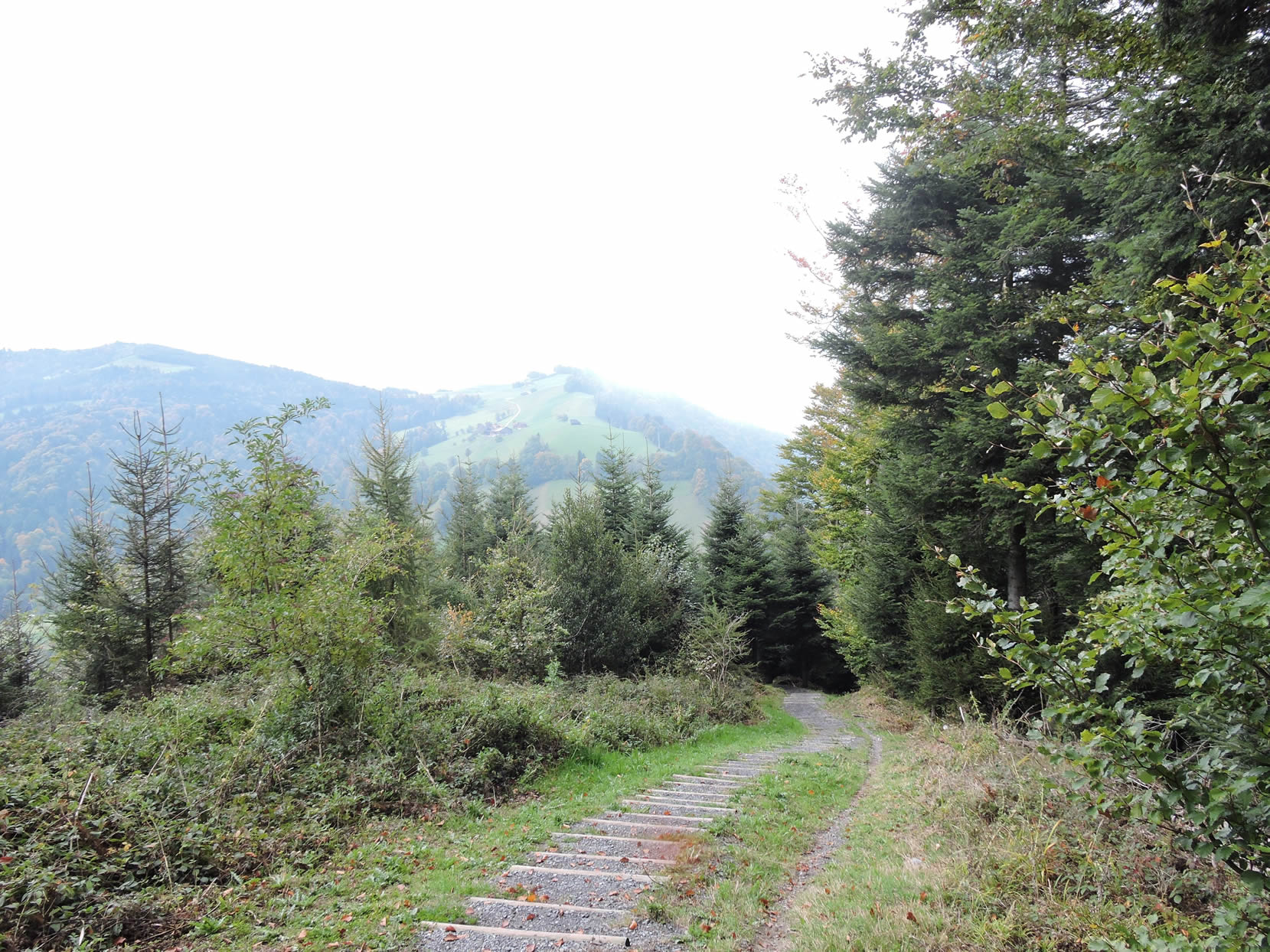
| The path unfolds before you with benevolent indulgence, rolling gently downhill. In front of you, the majestic silhouette of Pilatus, an iconic and tourist-favored peak, proudly dominates the landscape, with its panoramic train boldly winding along its steep flanks. |
 |
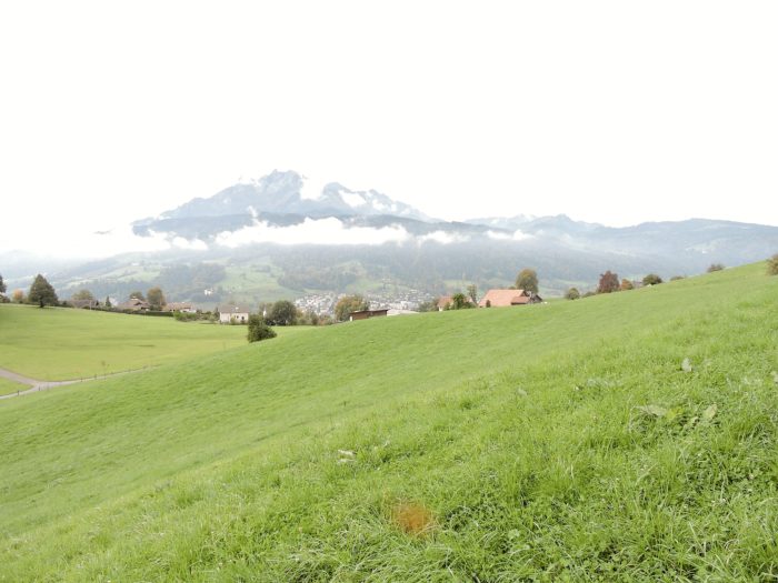 |
| In this poetic waltz through the meadows, your gaze drifts far, where Lake Obwald gleams peacefully, providing the small town of Alpnach majestic access to Pilatus. Each stage of your journey seems bathed in an aura of mystery and ineffable beauty. |
 |
 |
| And suddenly, like an unexpected miracle, you stumble upon the trail of Via Jacobi 3, gracefully descending through the green pastures toward Amlehn. |
 |
 |
In Amlehn, Via Jacobi 3 warmly welcomes you, confirming that your route towards Sonnenberg is still marked with assurance!
| Shortly thereafter, a modest road winding on the heights of Krienz guides you to Gabeldingen, where, once again, the trail of Via Jacobi 3 vanishes from your sight. It is sincerely regrettable that the organizers of the tracks in this region do not pay more sustained attention to the needs of pilgrims who tread their trails. This negligence, you will also notice, affects Via Jacobi 4, the Way of St. James, thus exacerbating the difficulties faced by pilgrims in navigating safely along their long journey. |
 |
 |
| In Gabeldingen, a peaceful mountain stop offers a welcome respite, a moment of warmth in the heart of the journey. |
 |
 |
| Higher up, the slope becomes steeper toward Sonnenberg, as you continue your ascent on a tarmac that gradually gives way to a grassy strip where the foot delightfully loses itself. |
 |
 |
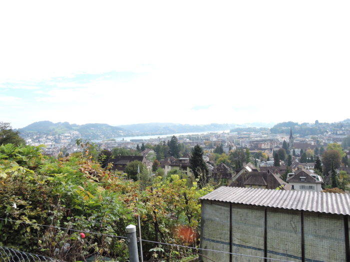
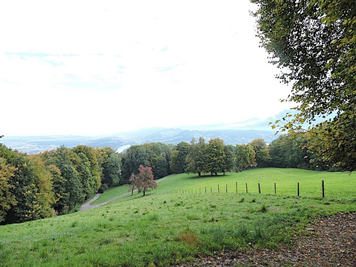
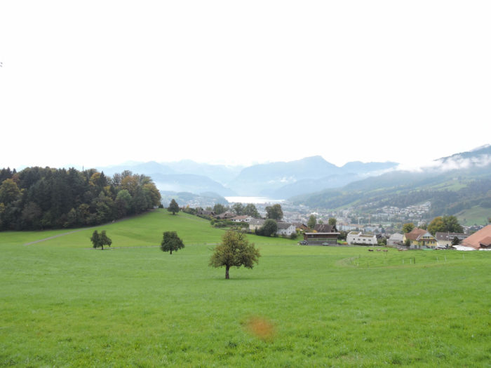
| Below, the panorama stretches majestically, offering an unparalleled view of the town of Krienz, Lake Sarnen, the majestic Lake Luzern, and the imposing foothills of the Alps, eternal witnesses to the grandeur and majesty of nature. |
 |
 |
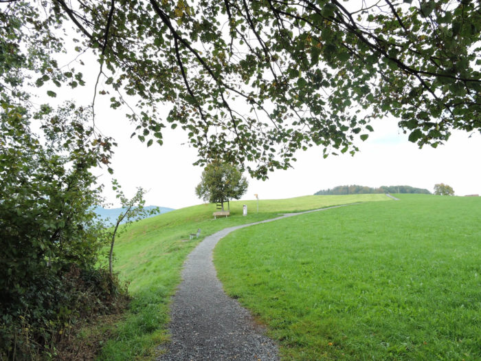
| Finally, your journey brings you just steps from the summit of Sonnenberg, which can also be reached by a small rack railway from the plain, offering tourists an alternative for those who prefer to contemplate the peaks without having to climb every inch of their height with their own tired legs. |
 |
 |
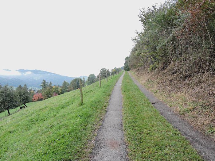
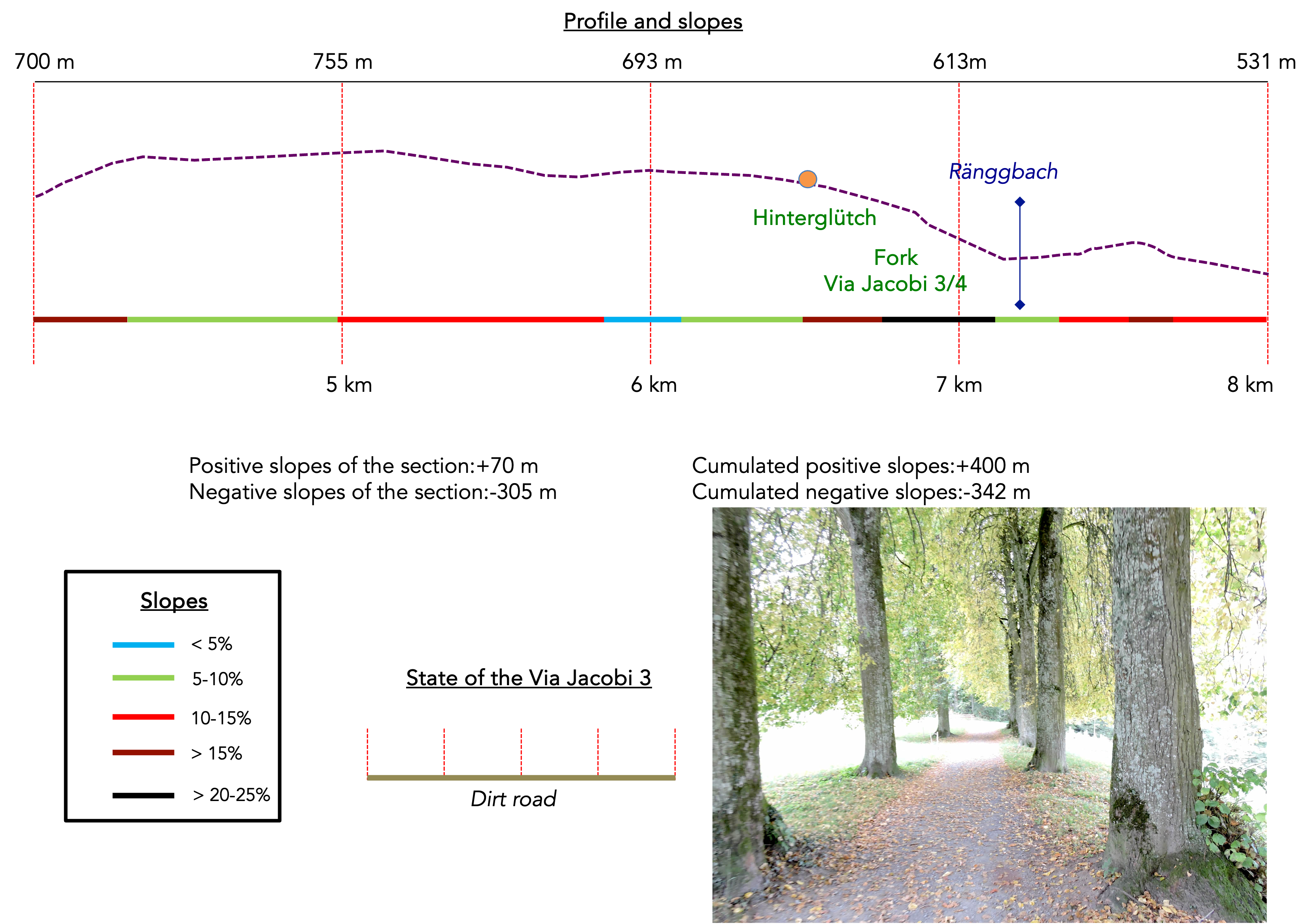
Section 2: On your way to the Ränggloch Gorge
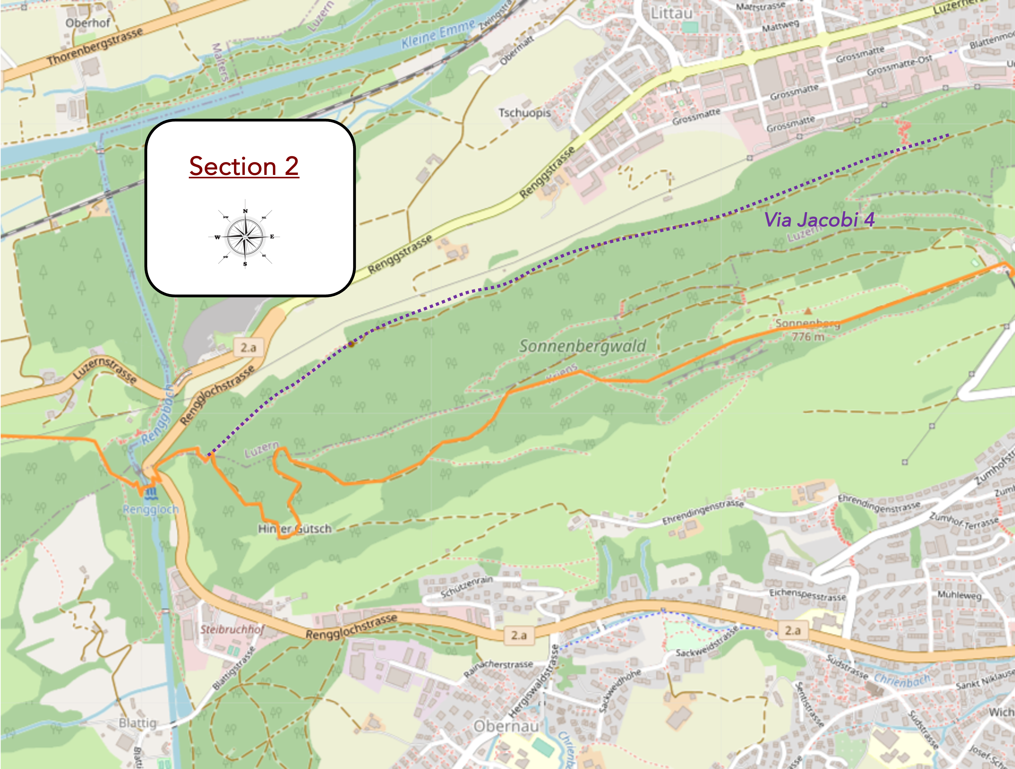
Overview of the route’s challenges: This route features significant slopes. often demanding.
|
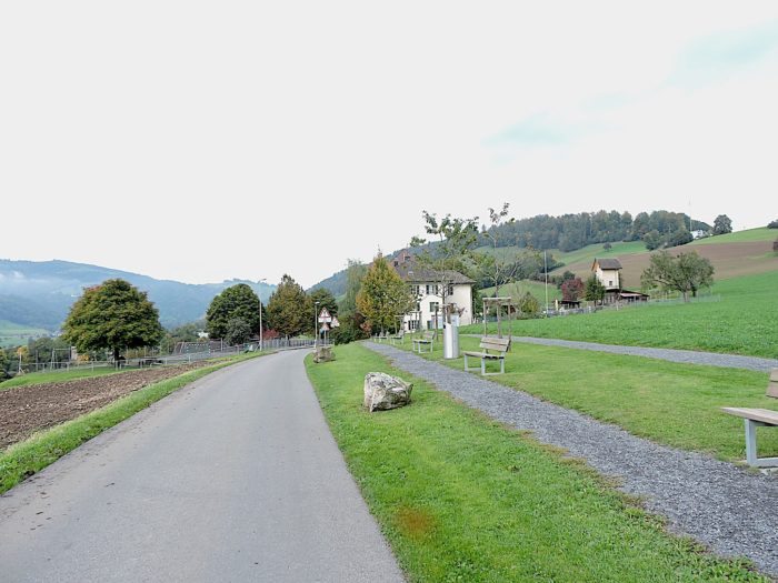
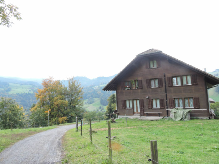
At the summit of Sonnenberg, a restaurant popular among locals welcomes travelers, offering a warm refuge where the flavors of regional cuisine and the friendly mountain ambiance mingle. Most diners arrive here by train from Kriens, leaving behind the hustle and bustle of the city to enjoy a moment of tranquility in the heart of nature. It is primarily the locals who come here to rejuvenate.
|
 |
 |
|
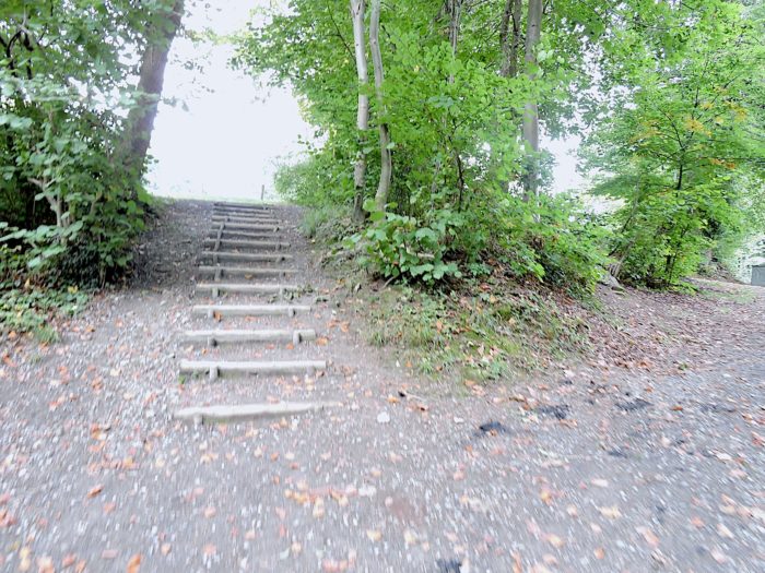
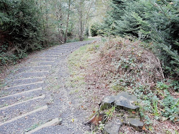
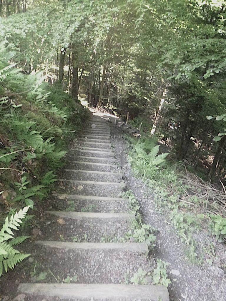
Although the station is within sight, the climb to the summit of Sonnenberg is steep, marked by wooden logs that challenge the muscles of tourists.
|
 |
 |
|
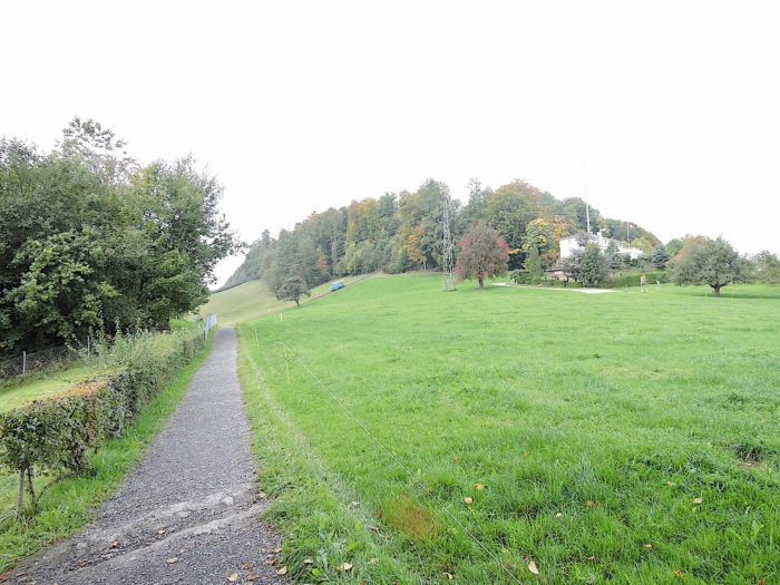
At the station, you are not yet quite at the summit of Sonnenberg. The route winds upwards on stairs, its slopes gradually easing as you ascend, offering hikers a gentle climb through the majestic beech trees populating the mountain. At the top of this ascent, the path opens onto a magnificent plateau, offering breathtaking views of the surroundings. Here, the atmosphere remains peaceful, preserved from the massive tourist influx in the city of Luzern. This is a place for walking and picnicking on a large high plateau lost in nature.
|
 |
 |
Numerous parallel trails crisscross Sonnenberg Mountain. Among them is the Zwergenweg, the Dwarfs’ Path, but it is advisable to preferably follow the Via Jacobi 3, thus offering an authentic and enriching hiking experience without getting lost!

| The mountain ridge, dotted with charm, offers a breathtaking spectacle, while the majestic trees, particularly spruces and beeches, that adorn it seem to silently watch over the travelers treading their paths. The number of hikers is often significant on the hill, especially since access by train makes it easier for many visitors to explore. |
 |
 |
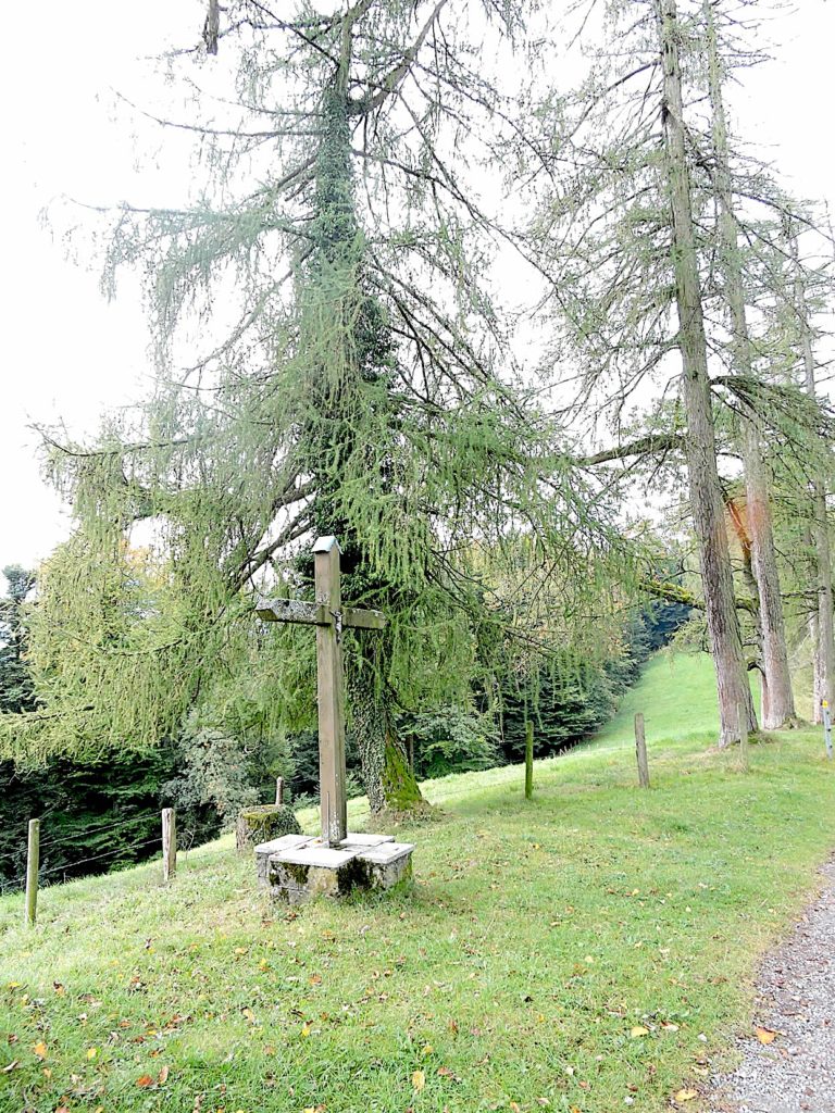
| Nearby, a small park invites contemplation, with a fountain nestled under the larches that dispense joy with every drop of water. This is a place where time stands still, where worries evaporate in the fresh mountain air, leaving room for soothing tranquility. This is also a large concentration of larches, a rare event on the Camino de Santiago in Switzerland. |
 |
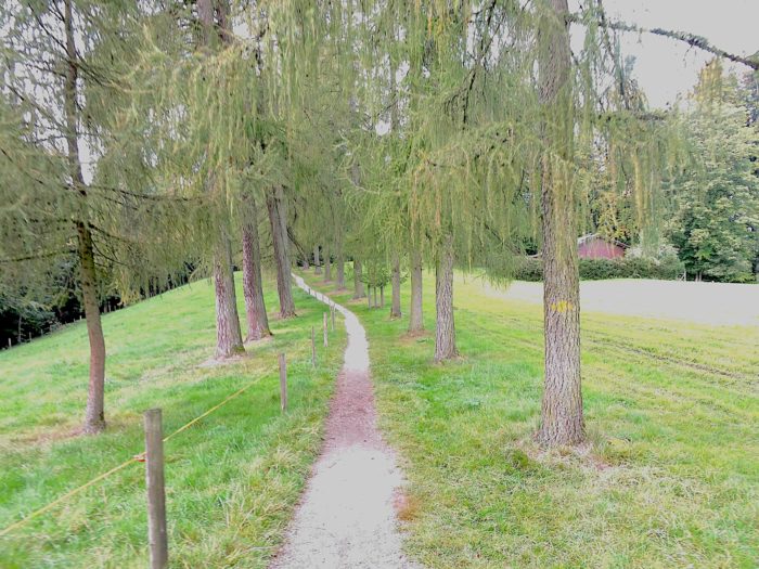 |
| Towards the end of the plateau, you find the place known as Crüzhöchi, wrapped in the majesty of the larches that still silently watch over these lands. Each step resonates with a discreet solemnity in an enchanting ballet at the heart of nature. |
 |
 |
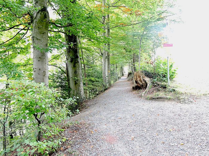
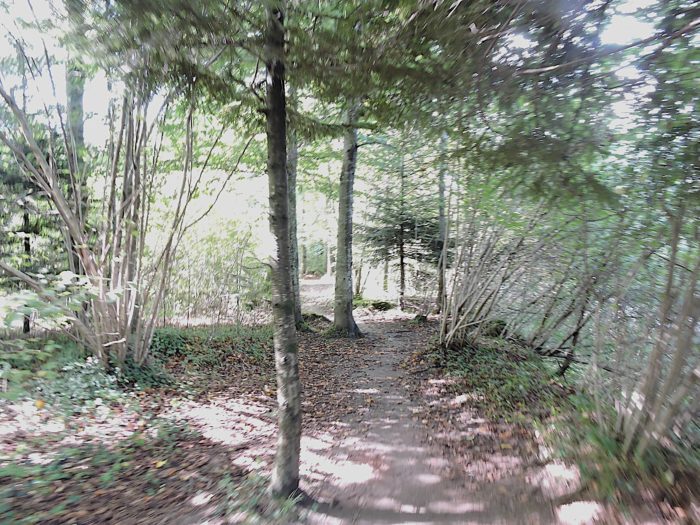
| A spacious path then veers off the meadows to delve into a denser forest, beginning a gentle descent amid the deciduous trees. Here, the larches give way to beeches, whose imposing silhouettes intertwine with those of numerous bushy spruces, sturdy oaks, and wandering maples that dot the landscape. |
 |
 |
| Gradually, the path narrows and the slopes become steeper in the density of the woods. Each step becomes a dance with gravity, each turn an invitation to discover new horizons. |
 |
 |
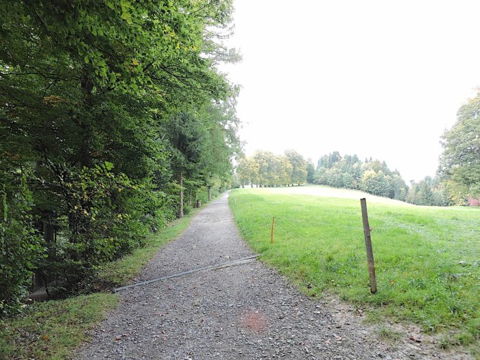
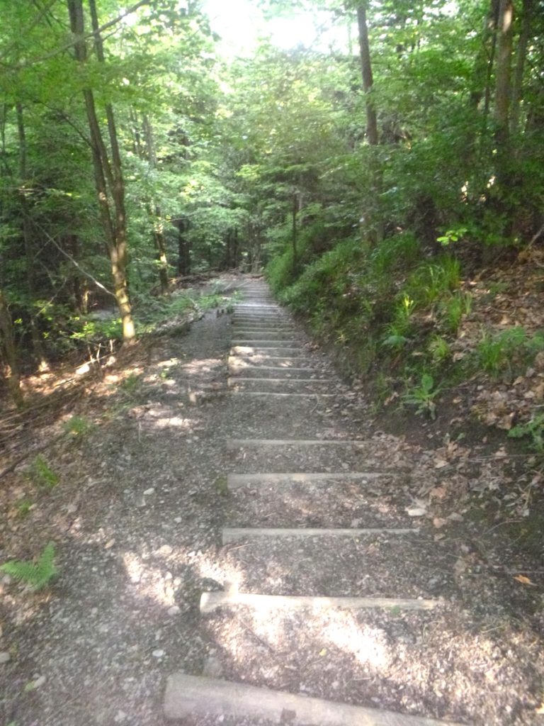
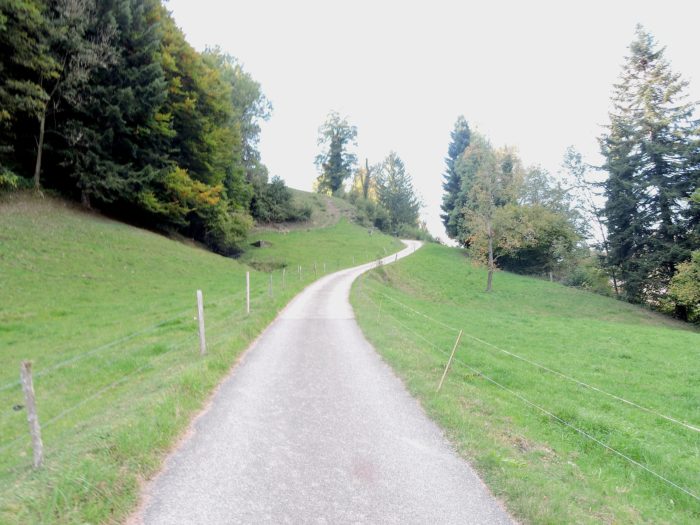
Further down, when the incline exceeds 15%, modest wooden logs come to the aid of walkers, providing welcome support in their progression. On the other side of the mountain, a landscape of alpine meadows timidly emerges from the surrounding forests, adding a touch of charm to this natural canvas. The forest, meanwhile, continues to exert its magical charm throughout Sonnenberg Mountain.
| The path, like an agile dancer, delightfully twirls, drawing wide arcs in the landscape, while the play continues, from logs to trails, offering travelers an experience marked by grace and verticality. |
 |
 |
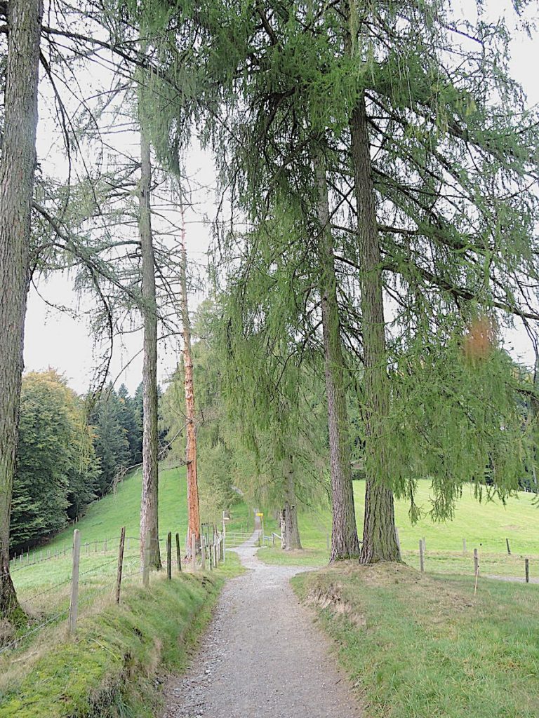
| Lower down, the path widens again and the logs gradually vanish as it reaches the secluded farms of Hintergütsch. This marks a moment of transition where the wildness of nature meets the hard labor of mountain farmers. |
 |
 |
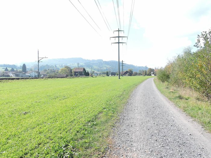
Just a 15-minute walk from Ränggloch, you remain on track with the Via Jacobi 3.
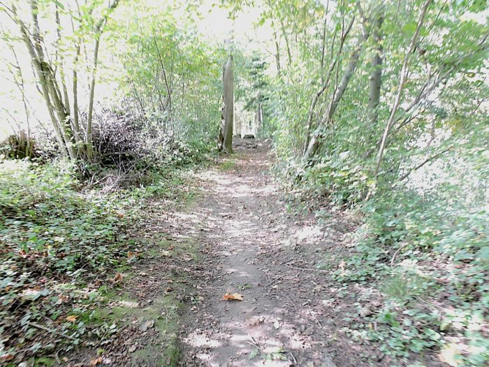
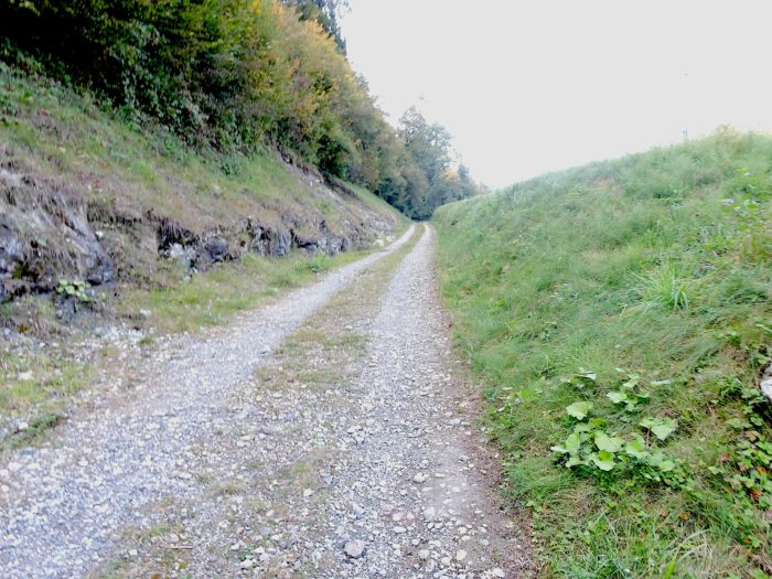
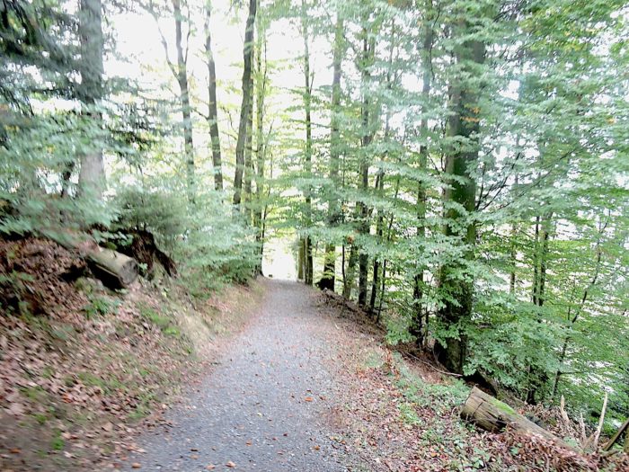
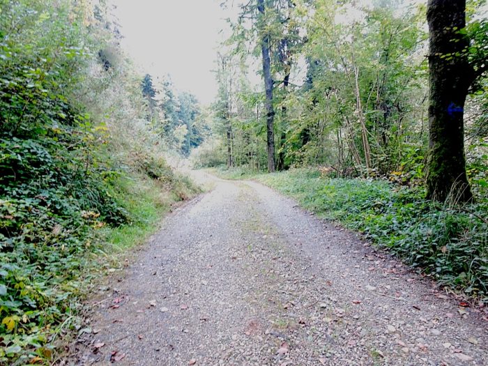
| From the sparse farms, a broad dirt road plunges deeper into the thick forest, where light struggles to pierce through the dense foliage. Each step seems to carry with it the secret whispers of the ancient woods. |
 |
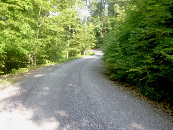 |
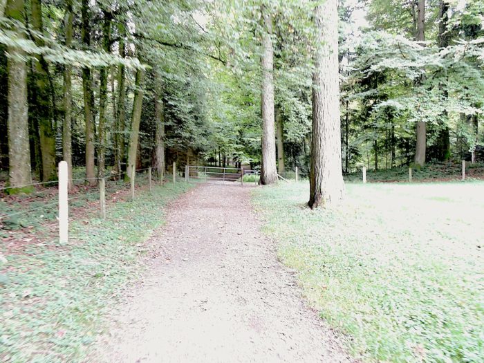
| Further down, you will reach the long-awaited junction between the Via Jacobi 3 and the Via Jacobi 4. After trekking nearly an enchanting hour across the Sonnenberg, you are now encouraged to trust the directional signs of the Via Jacobi 4, the Camino de Santiago. Or Via Jacobi 3, the same. |
 |
 |
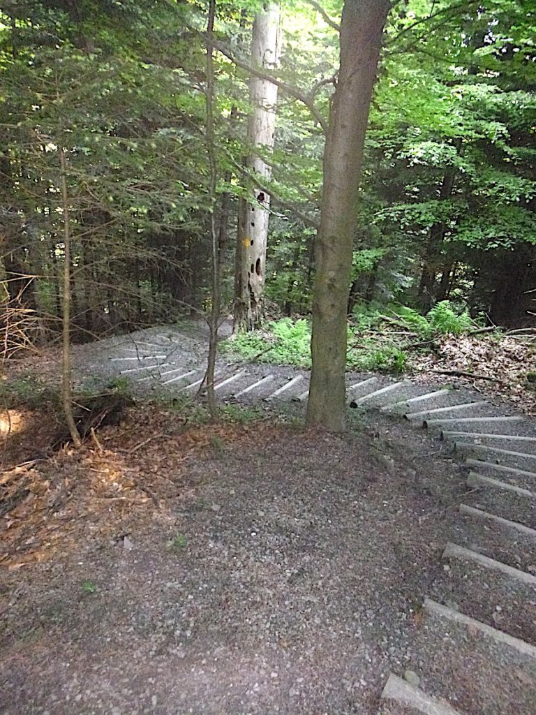
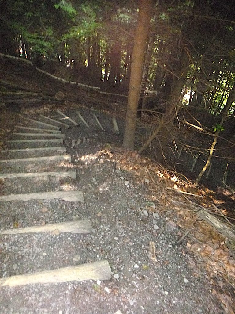
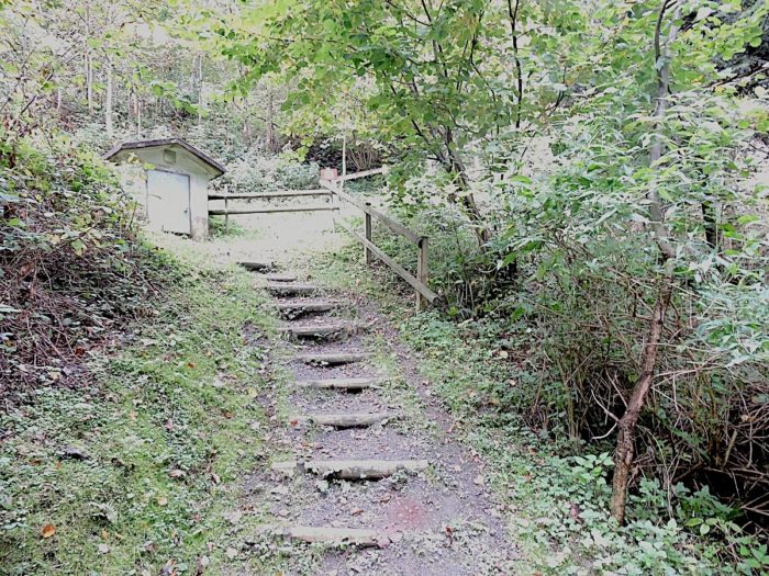
| Here begins a particularly notable challenge for muscles and joints. A steep, almost dizzying descent awaits, with small wooden stairs unfolding before you like a true corkscrew. One cannot help but imagine the additional challenges rain might bring to this daring descent. |
 |
 |
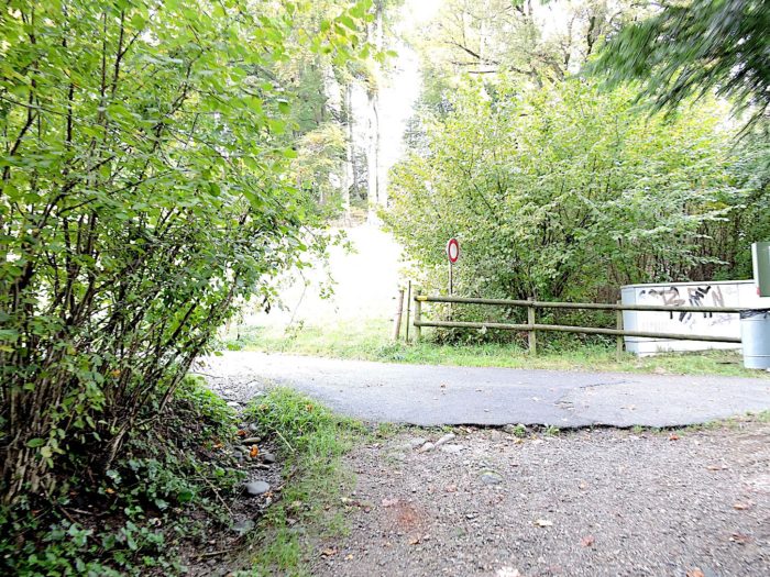
| The path soon leads you to the RN2, the departmental road heading towards Littau, then Luzern, signaling your return to civilization after this immersion in the wild. |
 |
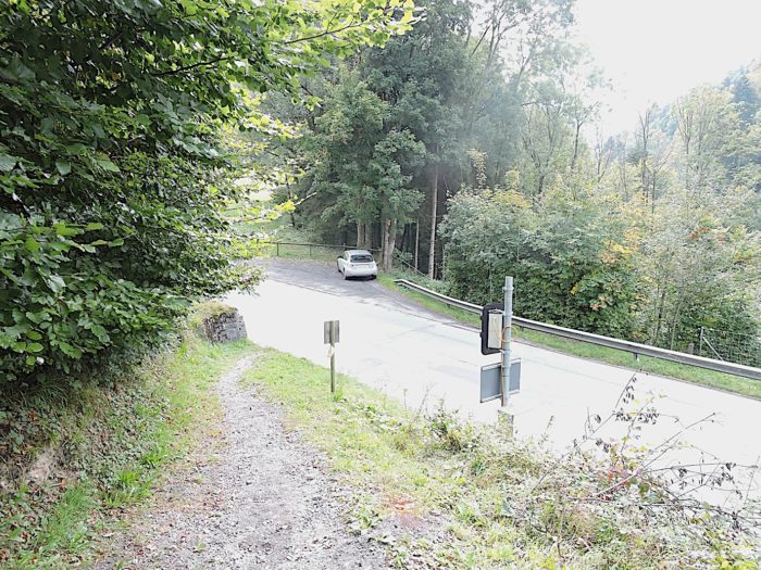 |
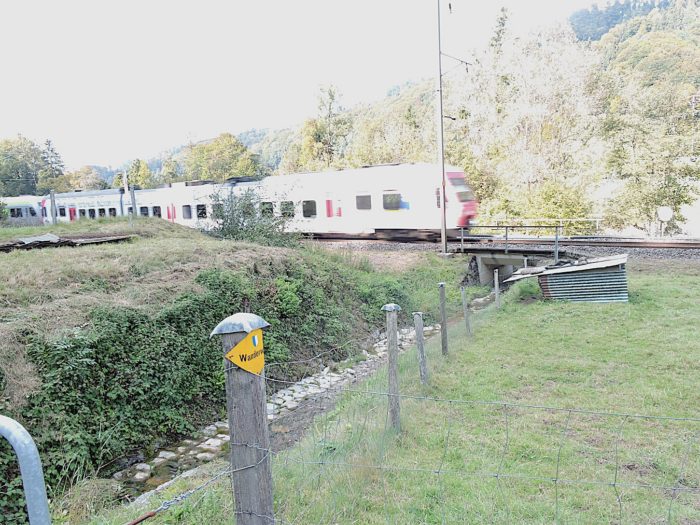
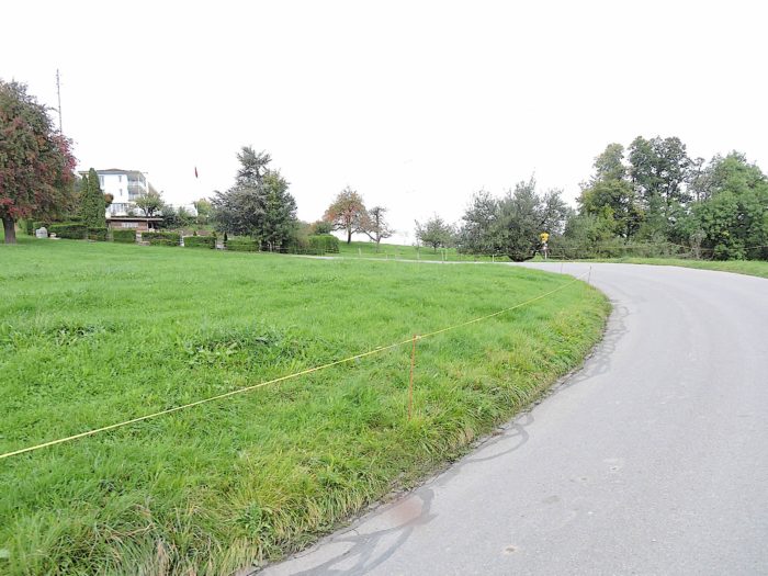
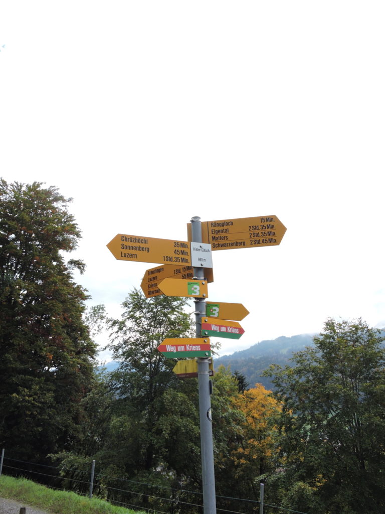
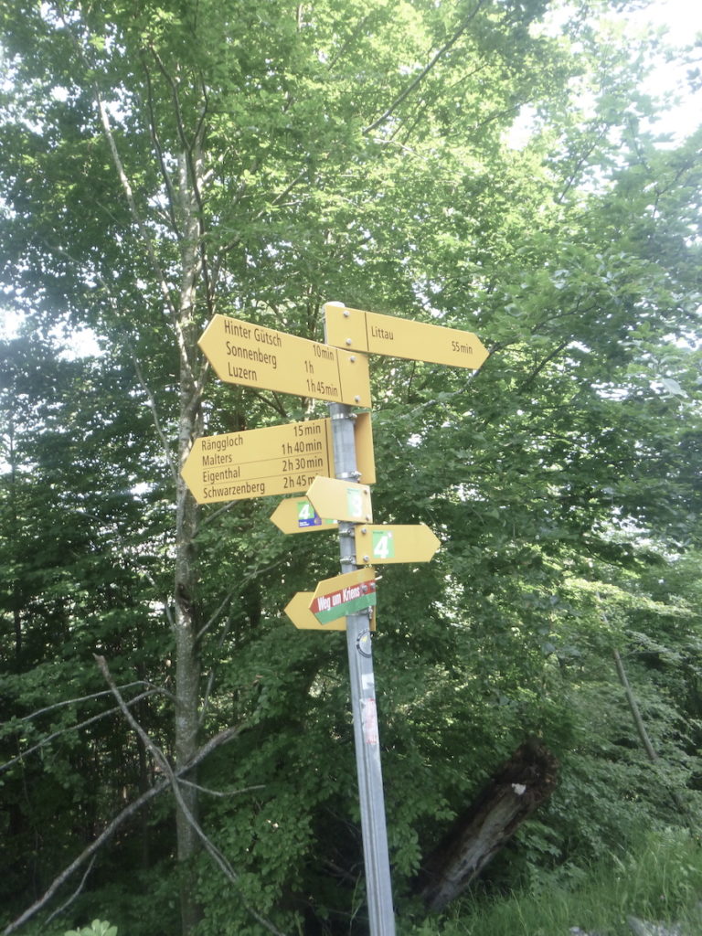
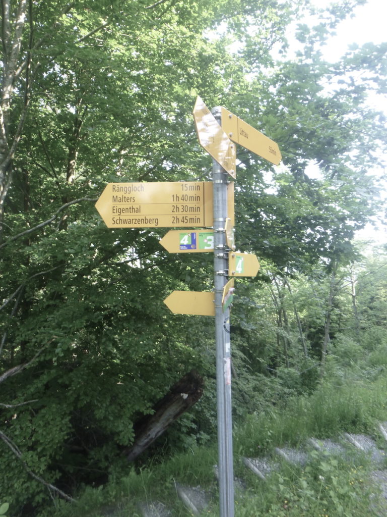
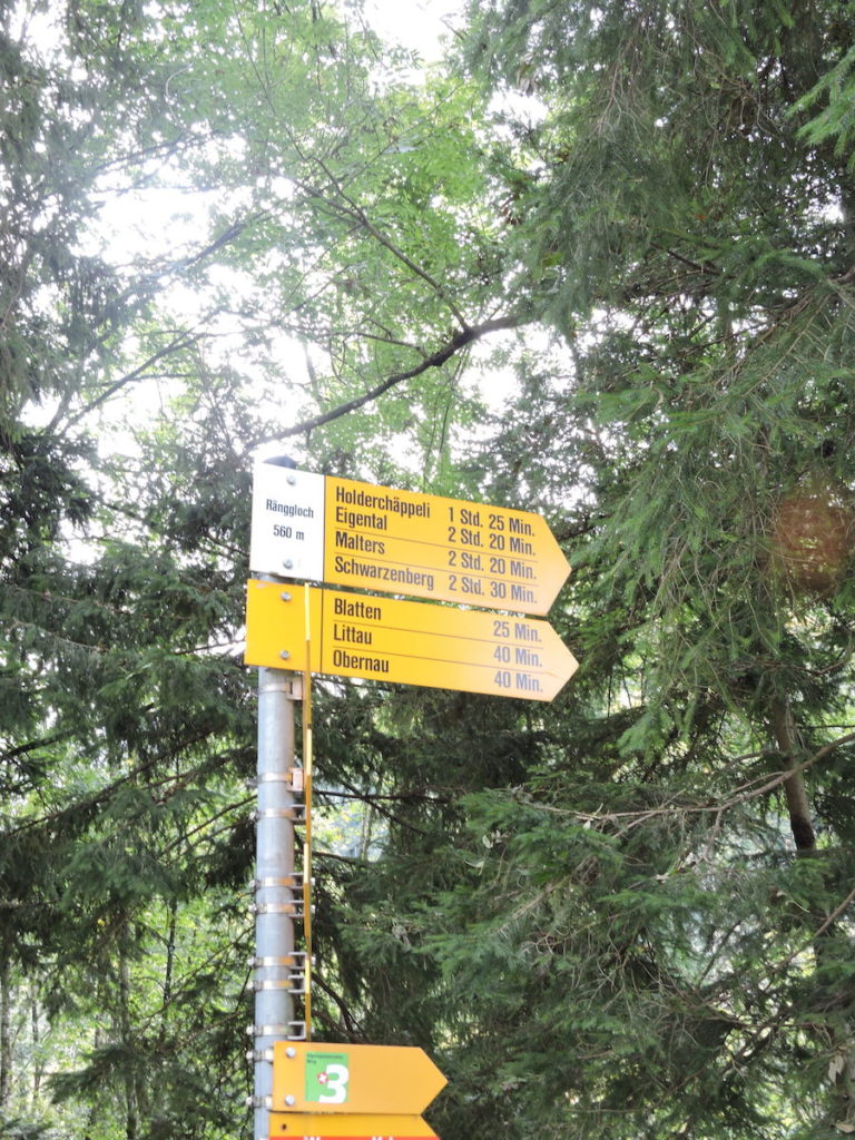
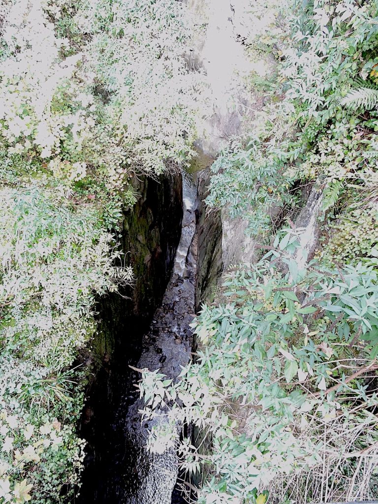
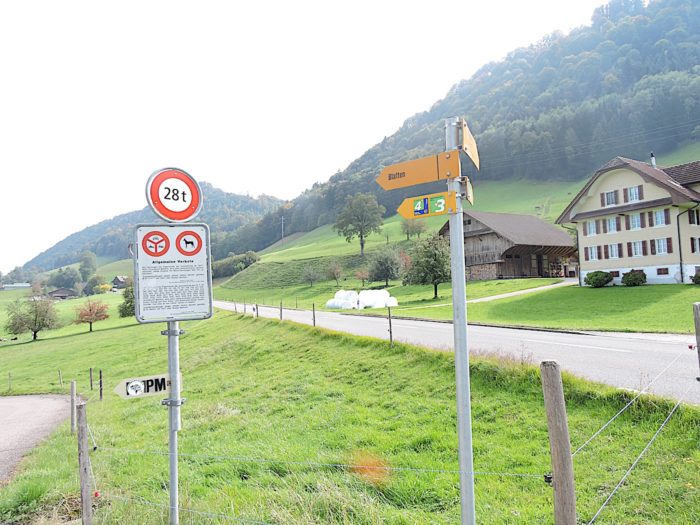
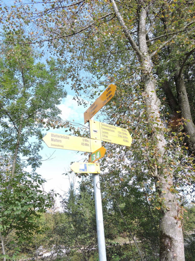
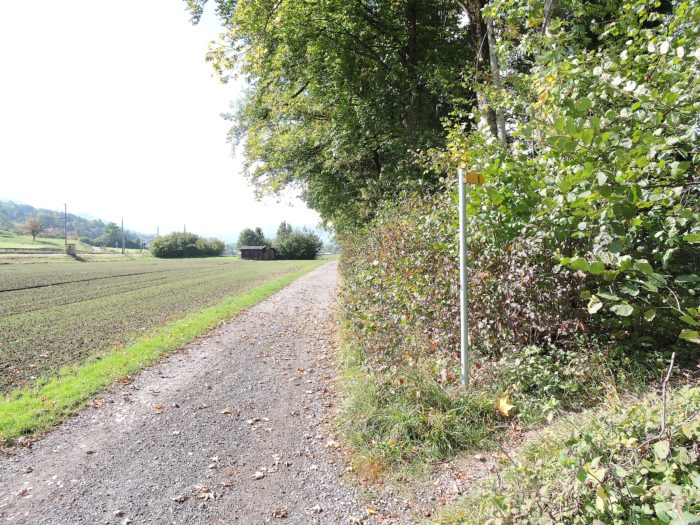
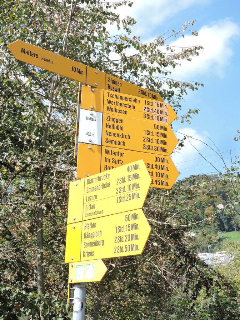
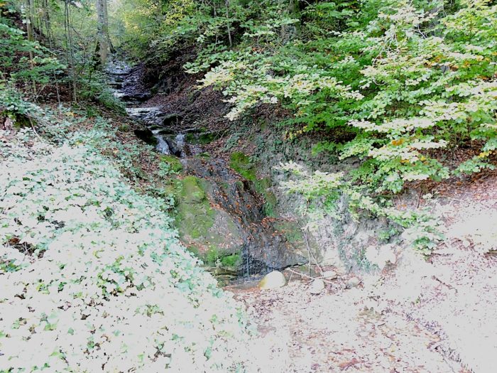
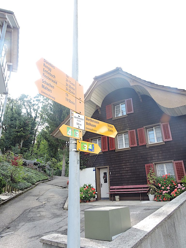
You are now at the place called Ränggloch, before entering the gorges. Let’s observe with some curiosity the direction sign crafted by our friends at Swissmobil. Here, it points to Via Jacobi 3, but what about Via Jacobi 4? Has it vanished into the gorges of Ränggloch? Regardless, we know where to head next. Our next destination is Malters, located on both Via Jacobi 4 and Via Jacobi 3, further demonstrating the complexity of the Camino de Santiago tracks in Switzerland, which often require a detailed guide to navigate confidently. Overall, the hiking trails in Switzerland are well-marked, but here, the clarity of signage leaves something to be desired. It is hard to understand why the officials at Schweizmobil did not deem it necessary to provide more precise signage on the route. For a local hiker, getting lost in the woods is not necessarily a disaster, but for a foreigner, it is a different matter. They need certainty and safety to continue their journey confidently. The Swiss, with their pragmatic spirit and love for mysteries, always remain somewhat enigmatic in their choices. Long live Switzerland and its mysteries!
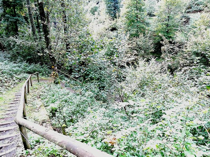
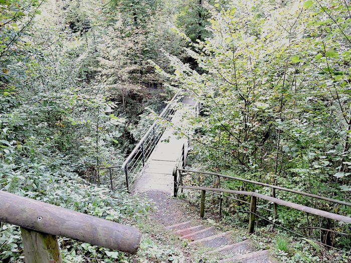
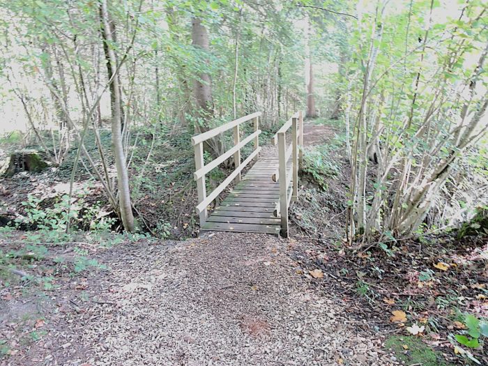
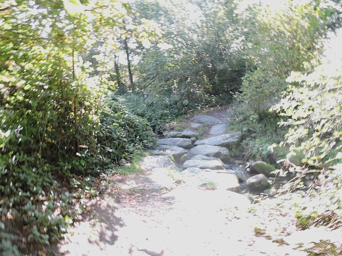
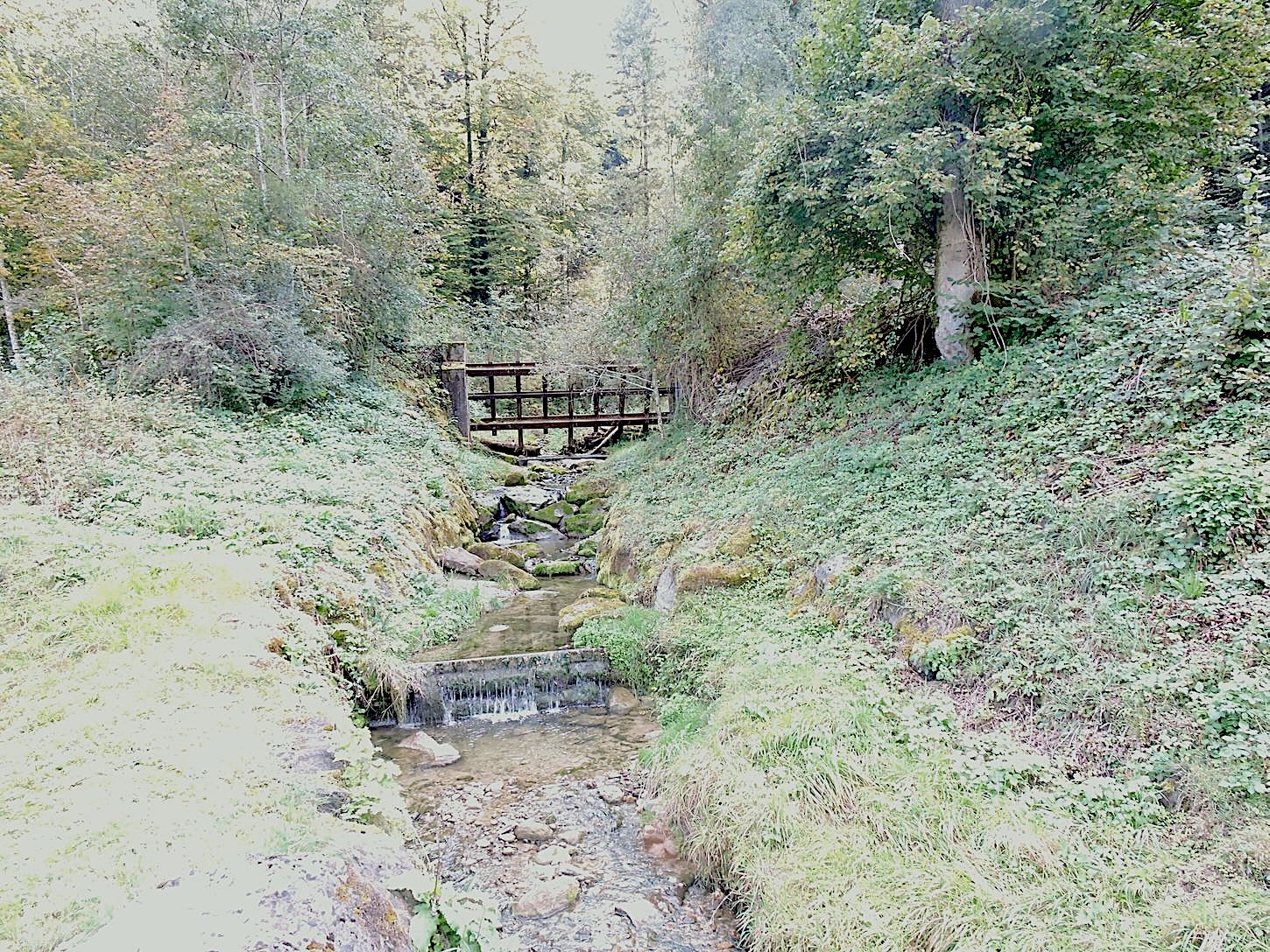
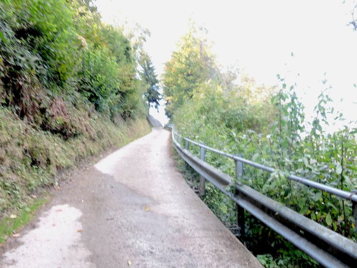
| After crossing the RN2, a trail plunges even deeper into a vertiginous descent on the stairs leading to Ränggsloch, where it must cross the Ränggsbach through dense, impenetrable vegetation. |
 |
 |
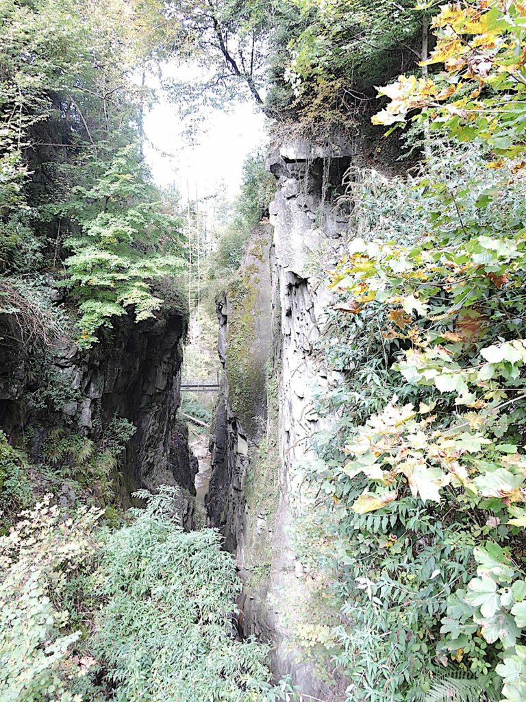
| The name of this place, « Loch, » meaning « hole » in German, is itself evocative of its exceptional character. But this only partially does justice to the beauty and grandeur of the site. It is like a descent into hell, with dizzying gorges framing this modest river. In this atmosphere worthy of a Dante tale, some adventurers even sometimes play at crossing the void by clinging to a rope ladder, in a frenzied ballet between sky and earth. |
 |
 |
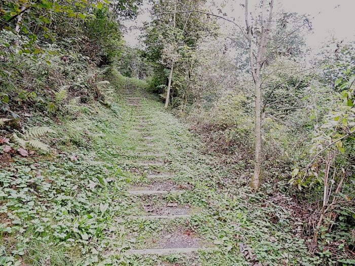
| On the other side of the stream, the trail climbs with the same steepness it descended, thus defying the laws of gravity in an eternal dance between shadow and light. |
 |
 |
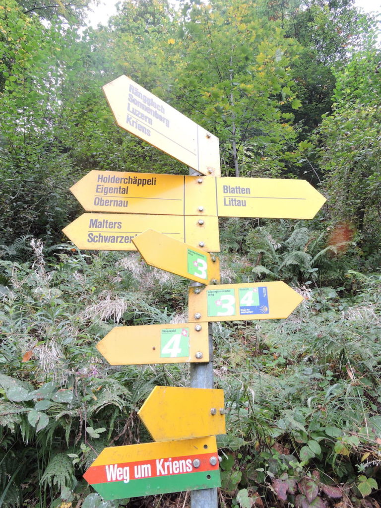
Shortly thereafter, the symphony of directional signs resumes, but this time, there is no possible confusion. You are no longer at risk of getting lost, as Via Jacobi 3 and Via Jacobi 4 converge here, guiding you confidently towards Blatten.
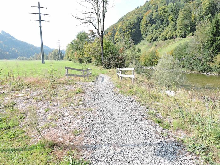
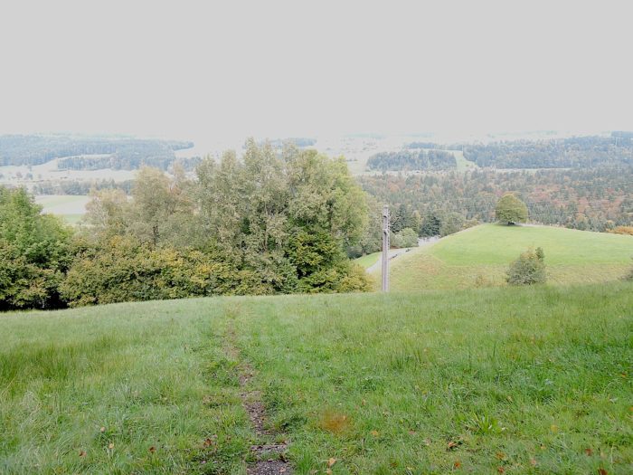
| The trail then unfolds into a steep descent through wild grasses, leading us toward the RN2, into the vast plain of the Petite Emme, where landscapes stretch as far as the eye can see in a symphony of greenery and tranquility. |
 |
 |
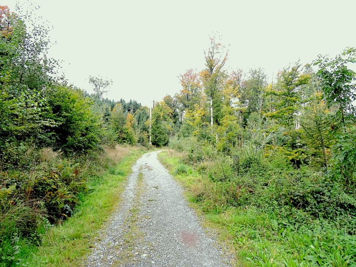
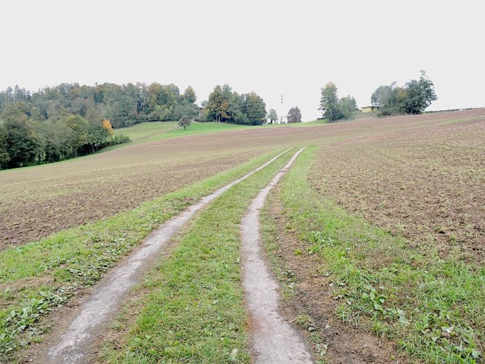
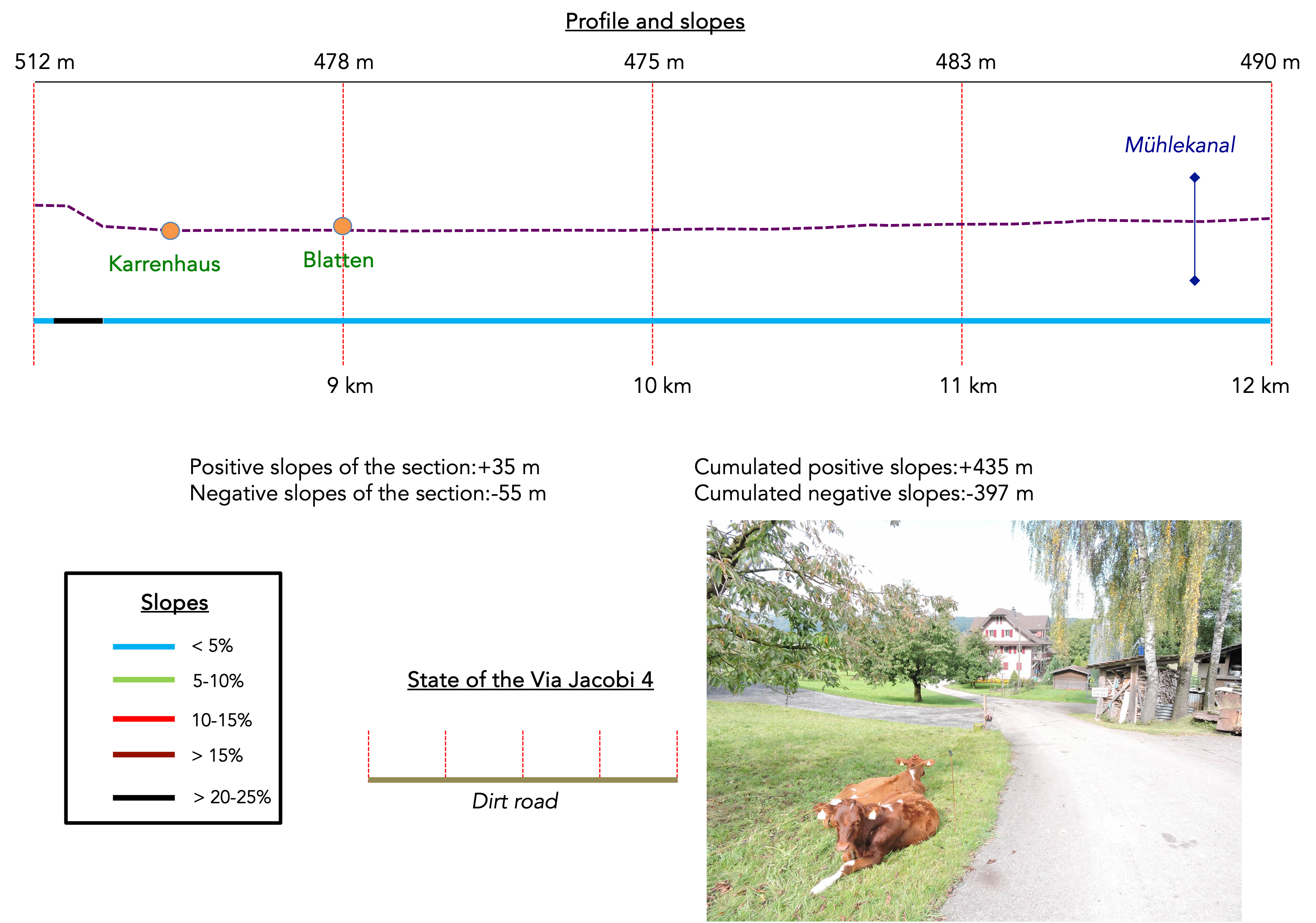
Section 3: In the plain of the Kleine Emme
Overview of the route’s challenges: The route presents no particular difficulties.
|
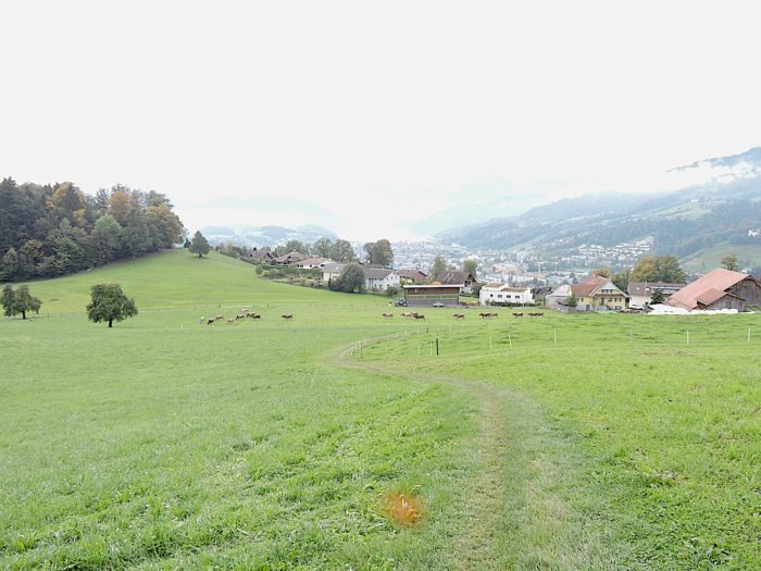
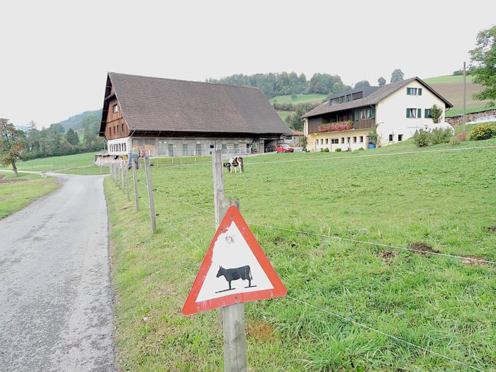
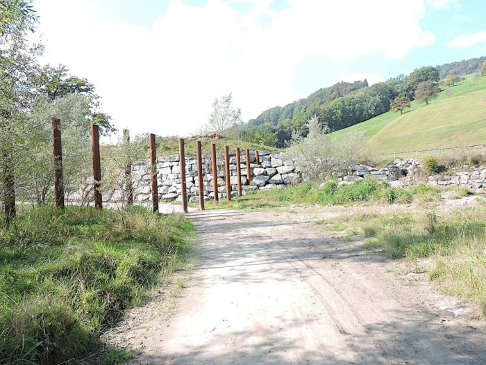
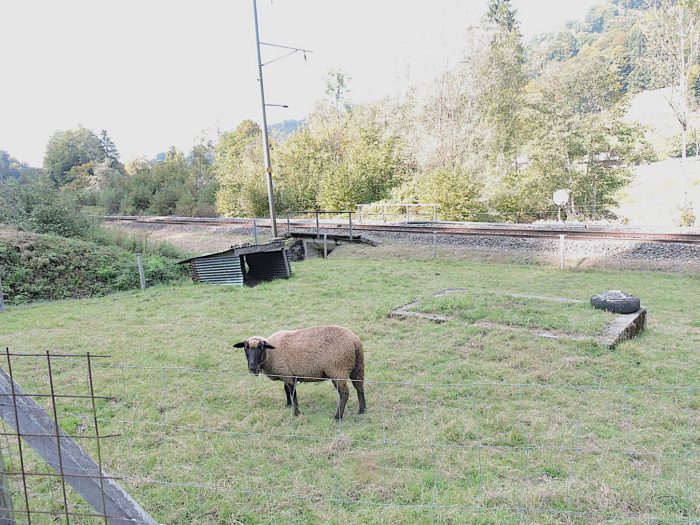
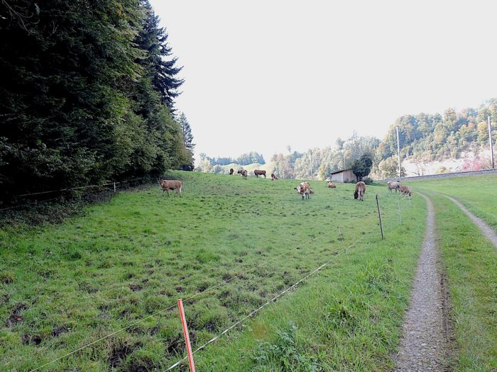
Due to the presence of livestock, the expansive green meadows are surrounded by electric fences, requiring careful opening and constant closing to prevent any incidents.
|
 |
 |
| At the base of the descent, the trail leads you to the hamlet of Karrenhaus, where modest farm buildings stand, often set apart from the main living quarters. |
 |
 |
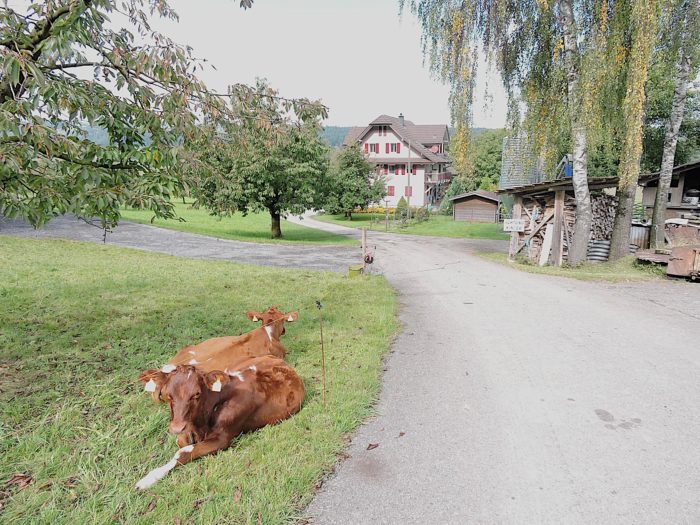
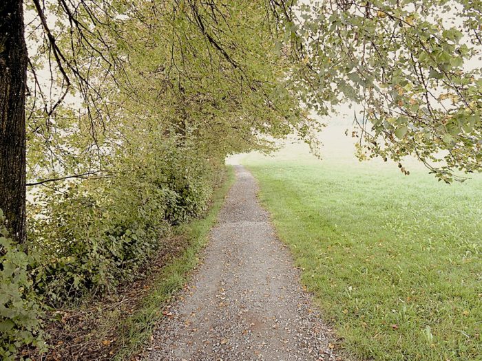
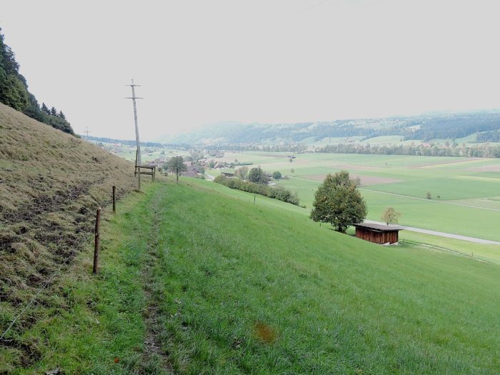
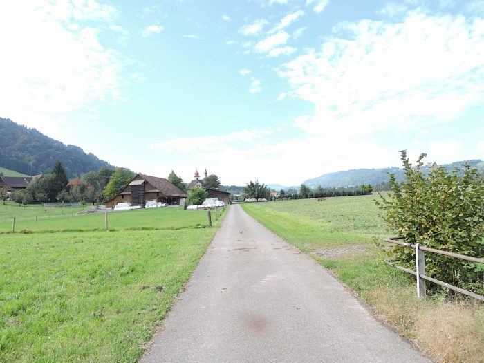
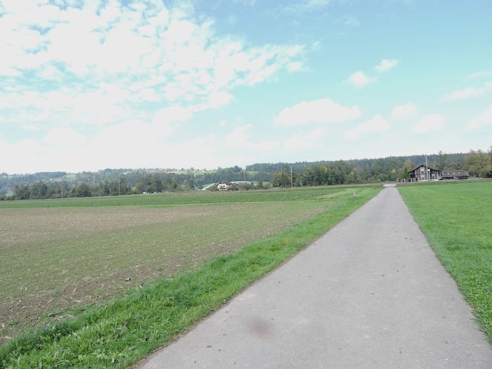
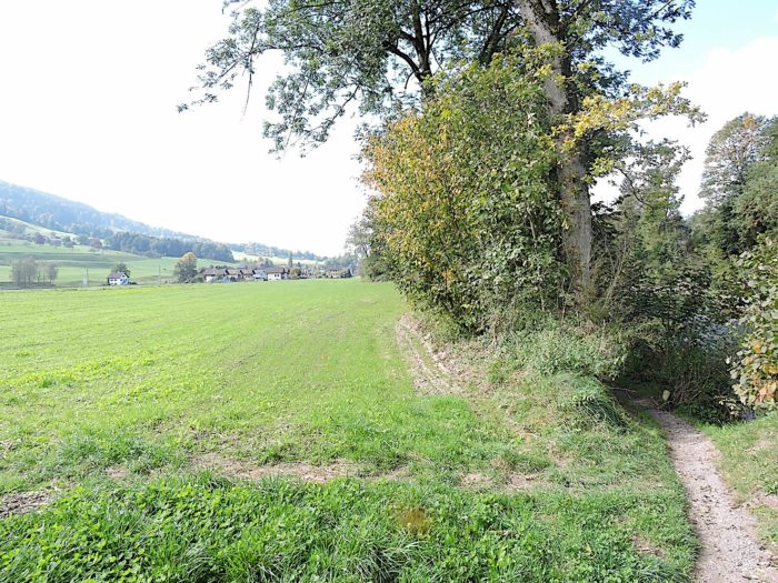
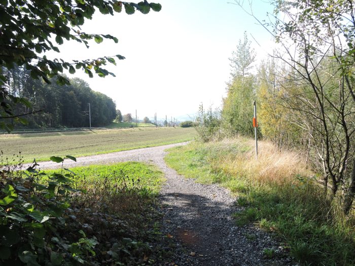
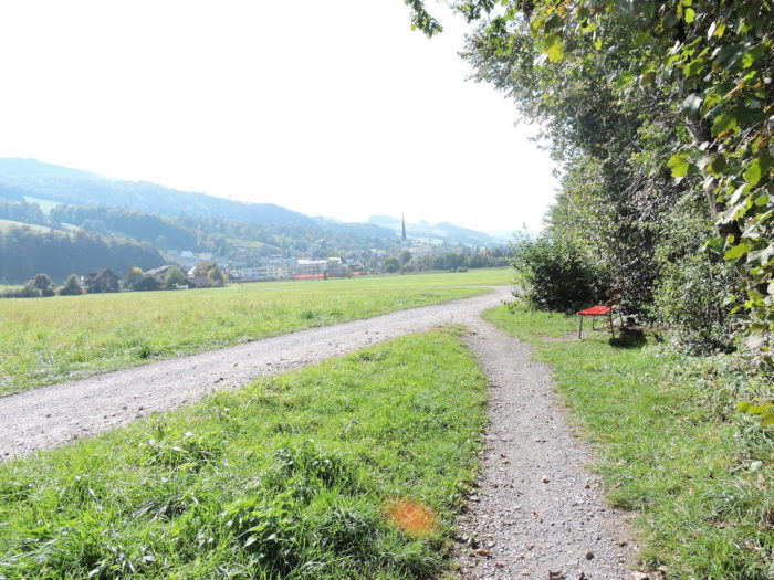
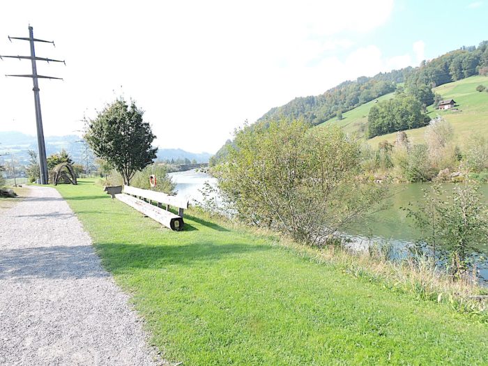
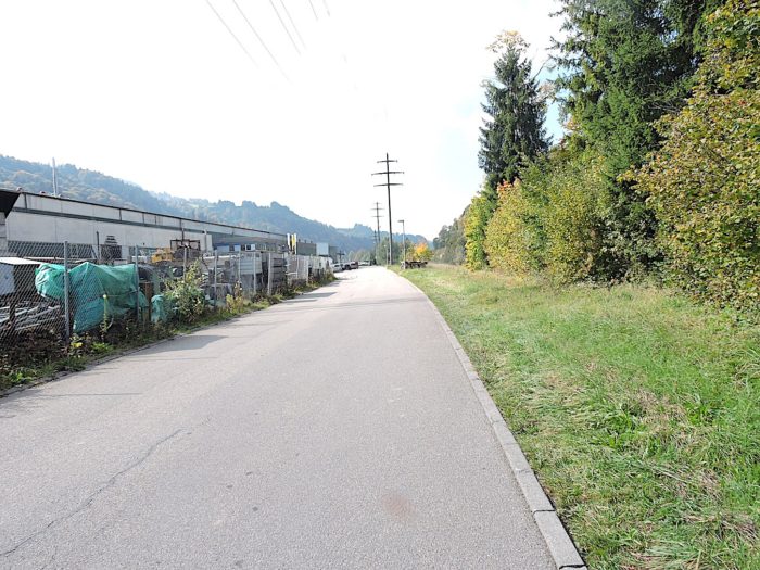
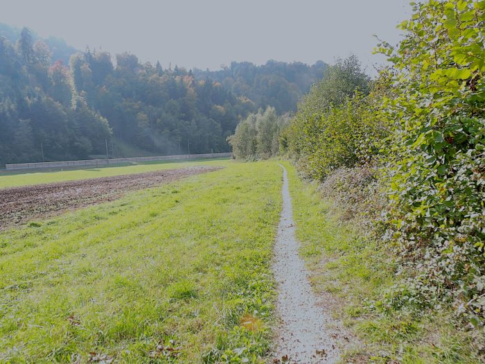
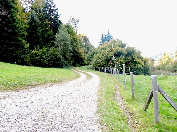
A narrow road winding through the meadows gently guides you toward Blatten, where sometimes the beautiful Simmental cows watch curiously as you pass. The air is fragrant with the intoxicating scents of cows and freshly cut grass. From this point, pilgrims or hikers enter almost a holiday mode. The gentle undulations of the landscape blend into the backdrop, becoming distinct only towards the end of this section.
|
 |
 |
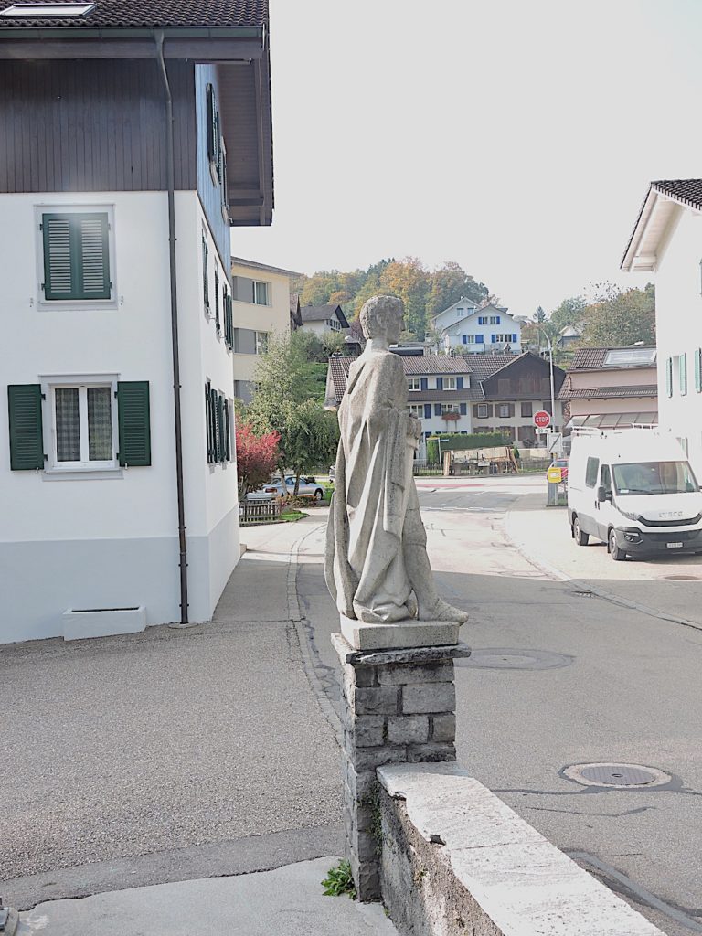
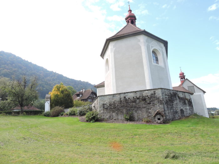
| Shortly after, the road leads near the baroque church of St Joost in Blatten, a testament to the grandeur of such an imposing church for a small community. |
 |
 |
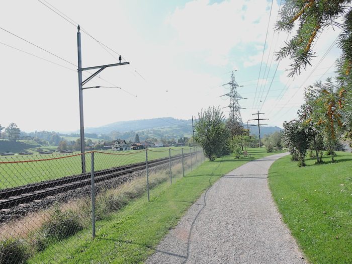
| Leaving the village, the road carves its way through the plain, bordered by verdant meadows and fallow fields, passing beneath railway tracks. |
 |
 |
You are now just 45 minutes from the bustling town of Malters, where maple and ash trees provide generous shade to hikers.
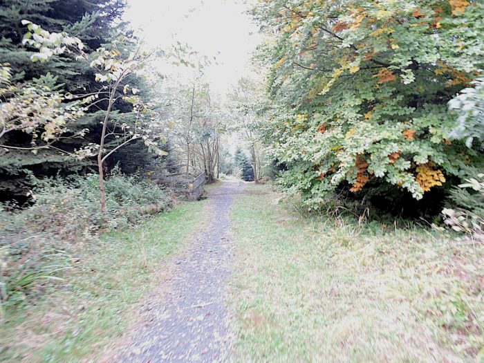
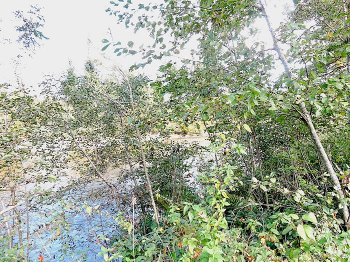
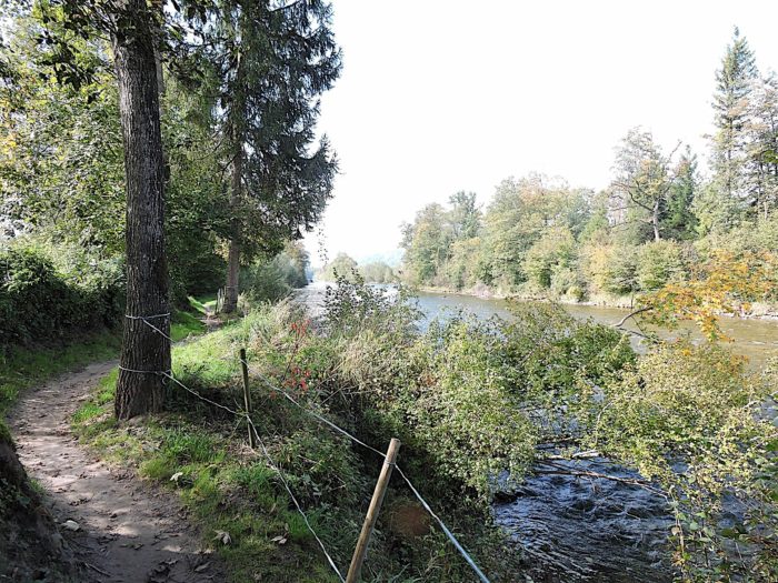
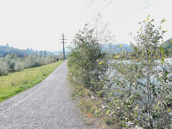
| The route snakes through a narrow woodland, behind which flows the Petite Emme. ‘Petite’ might not seem the appropriate name, as it is a fairly imposing river, hidden by dense hedgerows of bushes. It is so named to distinguish it from another river, the Emme, which flows in the Canton of Bern. |
 |
 |
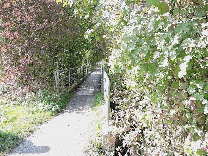
| From here, the Via Jacobi 4 plays a game of hide-and-seek between a forest trail weaving through the underbrush and a broad dirt road along the edge of the forest. You are free to choose your route, but the official trail often stays close to the underbrush. The trailh leads near a bridge spanning the river, where waters gently glide over polished stones, creating a soothing symphony. |
 |
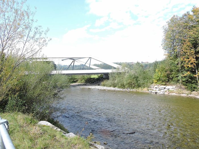 |
This is the Blatterbrücke, nestled in the heart of wilderness, although the trail does not cross the river itself.
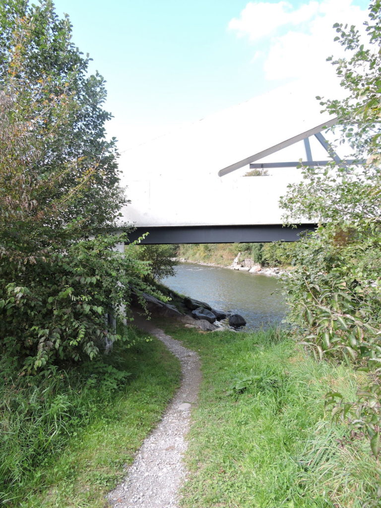
| Ahead, the first houses of Malters appear on the plain, yet the trail remains captivated by the enchanting charm of the river that gracefully meanders under lush foliage and through the bushes. |
 |
 |
| Here, the river winds with grace and serenity, and the trail follows it through bush groves and majestic beech stands, offering a true symphony of nature to those who traverse it. |
 |
 |
| At times, the route moves away from the underbrush, offering a gentle and peaceful walk, despite the constant noise of engines from the local highway on the other side of the river, accompanying the journey to the village of Sachsen, a slight disappointment in this otherwise charming and wild tableau. |
 |
 |
| Further along, after returning to the underbrush, the path crosses a small, nearly dry creek, whose name remains unknown. The river sometimes hides along the path, but its soft murmurs and gentle ripples are occasionally admired, like a misplaced comb in nature. |
 |
 |
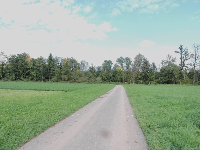
Soon, Malters draws closer, with its church spire visible on the horizon. One might almost believe the path was designed to alternately offer views of the plain and the river, like a living painting in motion.
| A little further, the path plunges back into the woodland and crosses the Mühlekanal, still amidst lush vegetation, where beeches and maples abound in large numbers, creating a veritable vegetal cathedral. |
 |
 |
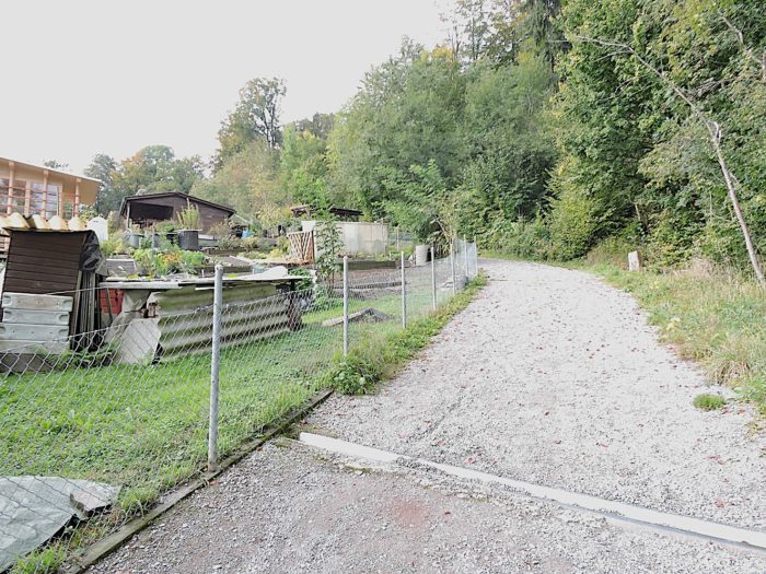
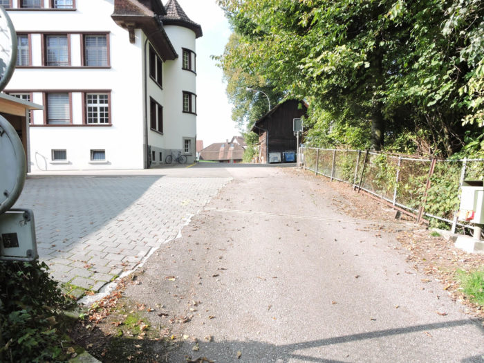
| The Via Jacobi then emerges into the suburbs of Malters, home to some 7,400 residents. |
 |
 |
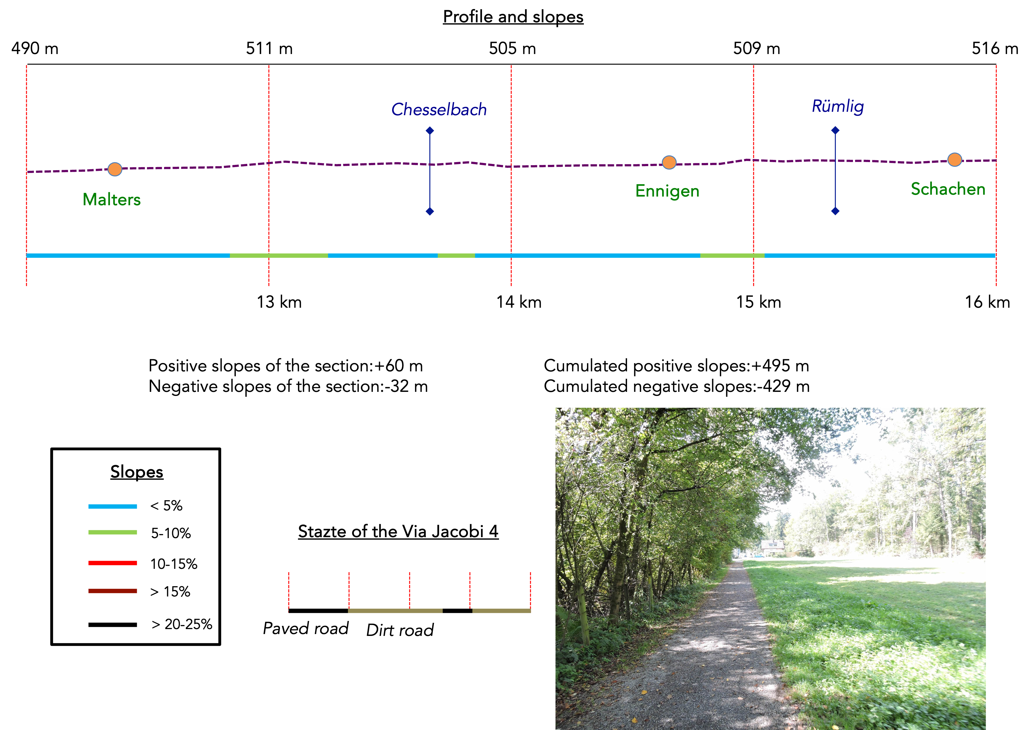
Section 4: In the Kleine Emme plain
Overview of the route’s challenges: The route presents no particular difficulties.
|
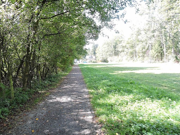
The Via Jacobi merely skirts the edge of the small town, running past relatively recent housing developments that bear witness to urban expansion, though lacking any significant natural charm.
|
 |
 |
At this point, you are just over two and a half hours’ walk from Werthenstein, your next destination.
| A forest path quickly resumes along the river, winding through the suburbs and then back under the canopy of the underbrush, while the relentless hum of engines from the nearby highway resonates in the background. |
 |
 |
| Soon after, a bridge crosses the river under the cover of trees, although the path does not take it. |
 |
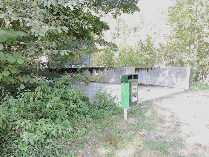 |
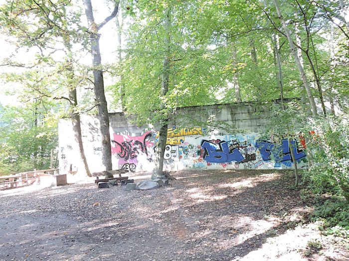
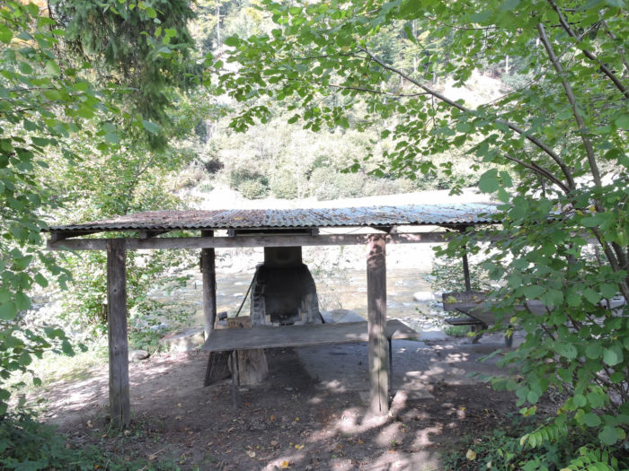
| Further on, an uninviting picnic area beckons travelers to pause near the water, offering a moment of relaxation to the soothing sound of the river’s murmur. |
 |
 |
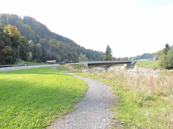
Just above, the expressway stretches, overlooking the river’s graceful cascades, creating a striking contrast between tranquil nature and urban bustle.
| The path continues through the lush underwood of majestic beeches and maples, crossing a small creek hidden beneath imposing stones. |
 |
 |
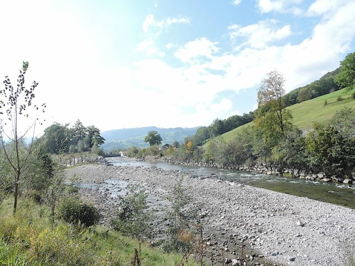
| Further along, the river widens to form a vast, stony, and wild beach, showcasing the patient work of erosion on the valley’s rocks. |
 |
 |
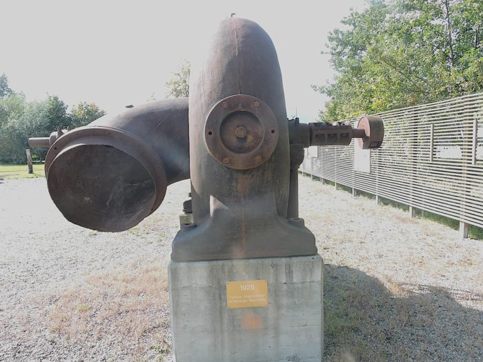
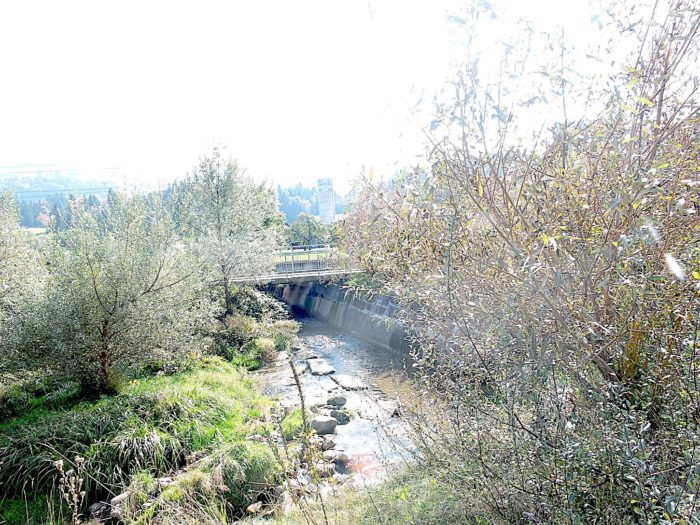
| It is here that the path emerges from the underbrush, meeting the Chesselbach stream. In the past, an industry now gone was active here, as evidenced by a rusted turbine, a relic of an early twentieth-century sawmill. |
 |
 |
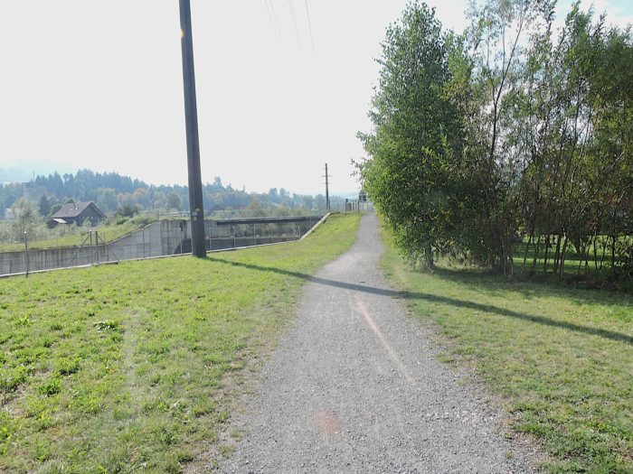
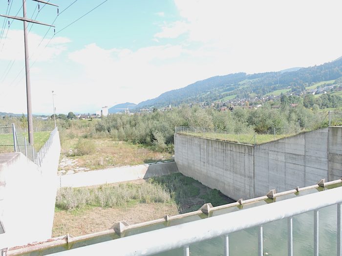
| A broad dirt road then appears near a water retention structure, part of a power plant, thus highlighting the close link between the river and human activity. |
 |
 |
| The path, a faithful companion to the river, traverses a landscape almost reminiscent of a steppe, dotted with bushes and sparse vegetation. |
 |
 |
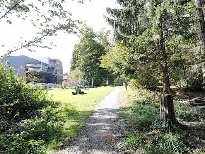
| Further on, it crosses a discreet playground, nestled by the river where children play joyfully to the rhythm of the water’s cheerful cascades. |
 |
 |
| Then, the path gradually approaches the railway line, signaling the approach to the village of Ennigen. |
 |
 |
However, it does not proceed there.

| Continuing along the river, the route briefly follows asphalt before returning to the dirt road, winding between the undergrowth and cultivated fields that now share the space with meadows. |
 |
 |
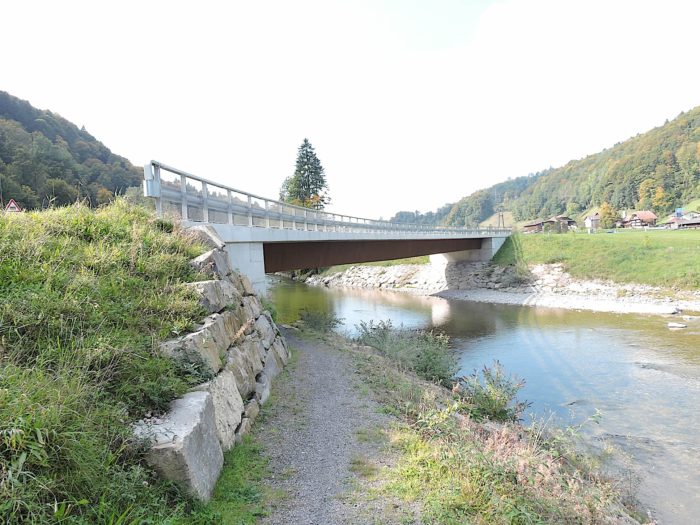
| Further ahead, the path once again approaches the riverbanks, where a bridge spans the Rümlig. |
 |
 |
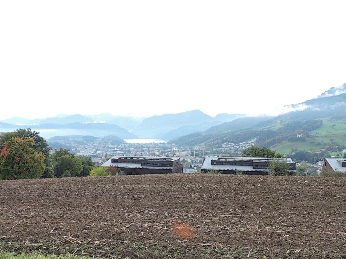
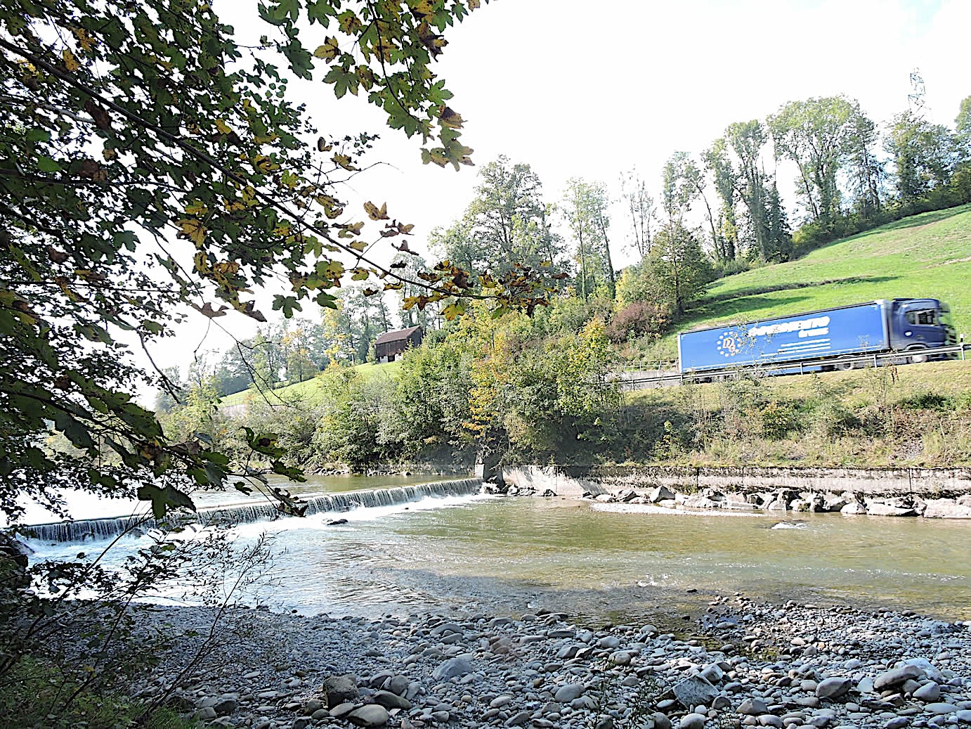
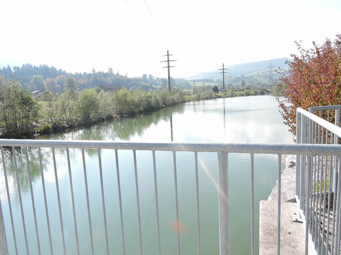
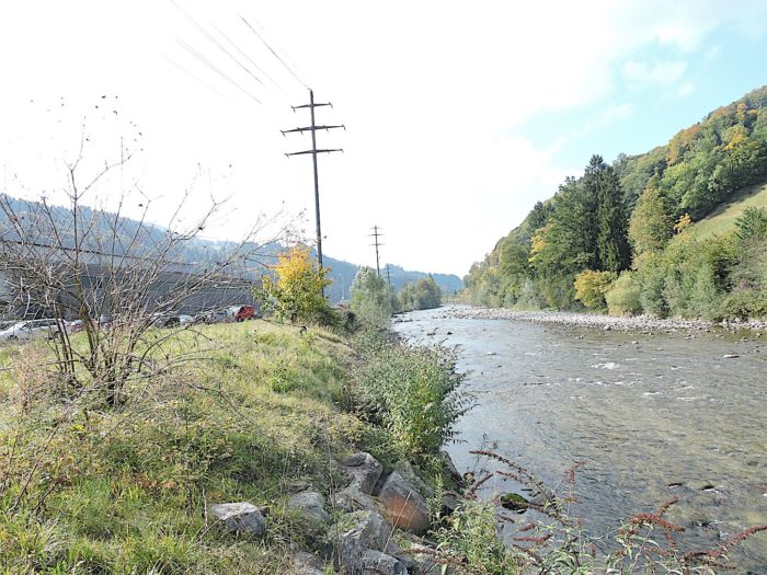
| Here, the tumultuous Rümlig River flows into the Kleine Emme, creating a spectacle as remarkable as it is unexpected in this vast plain. It is fascinating to see these water bodies come alive in such a setting, though the valley’s subtle topography reveals a gentle upward slope. |
 |
 |
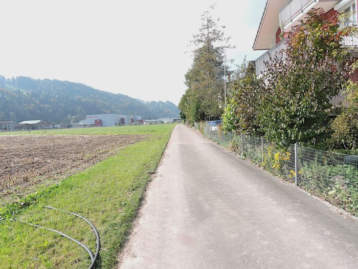
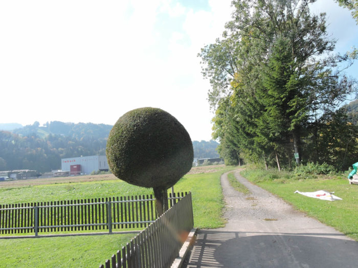
| Subsequently, the dirt road enters the large industrial suburb of Schachen, where thriving industries span a wide range of sectors, from machine tools to biopharmaceuticals. |
 |
 |
| Yet, despite this growing urbanization, some Swiss farmers remain committed to their lands and traditions, with their grey cows moving among logistic warehouses. The future of these ancestral practices is uncertain, as are perhaps their descendants… |
 |
 |
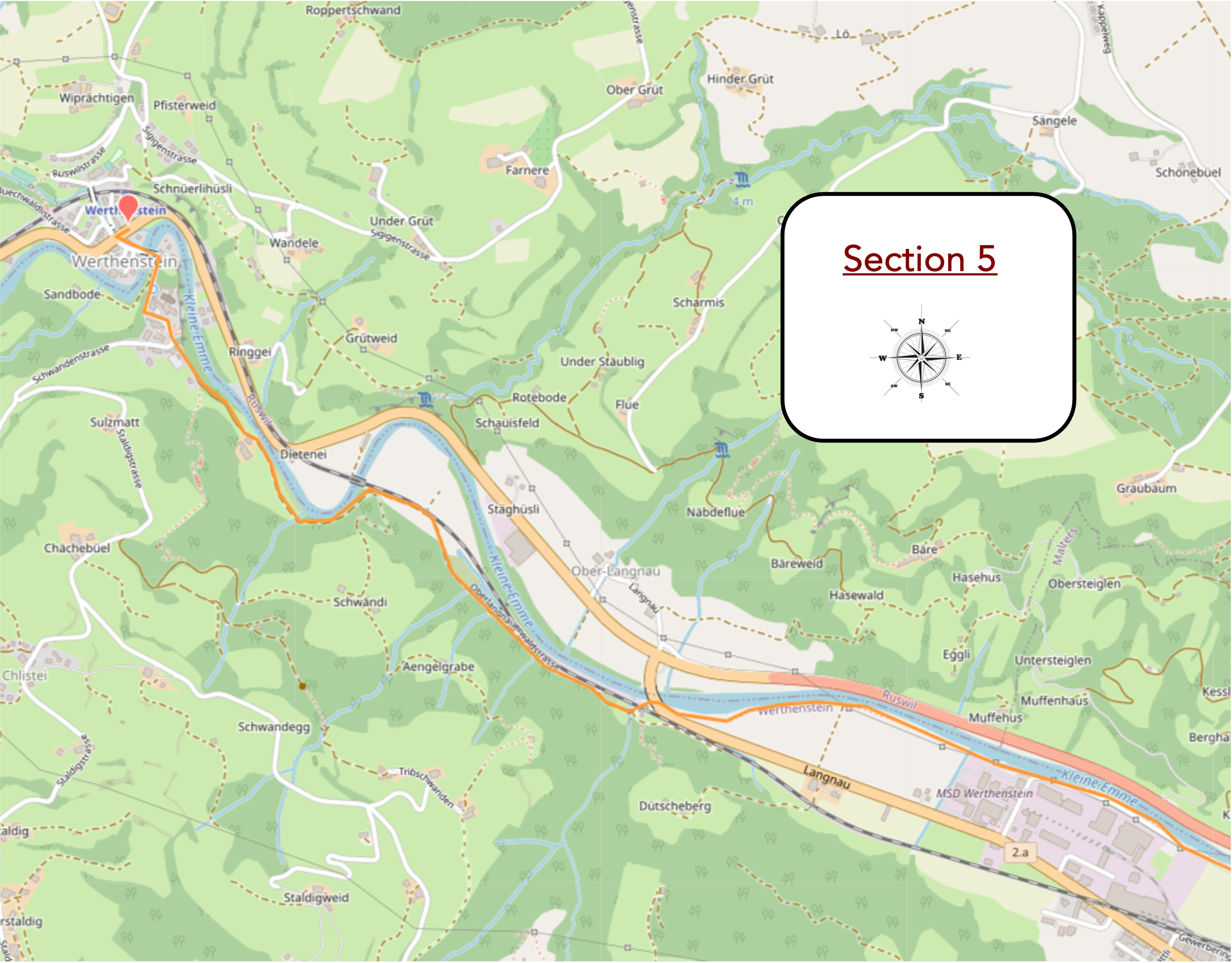
Section 5: Heading towards Werthenstein
Overview of the route’s challenges: mostly straightforward route, but with a significant climb nonetheless.
|
The Via Jacobi traverses the vast industrial zone of Sachen, passing near the factory renowned as Siga. This brand is familiar to all construction workers in Switzerland and even abroad, constituting a true family saga. In 1966, the Sieber-Gadient couple founded the SIGA company, using the kitchen, garage, and chicken coop as their first production premises for their adhesive tapes. The first SIGA tape was an edging tape intended for office supplies, but today, SIGA’s yellow tapes are used in all building insulations.
|
 |
 |
|
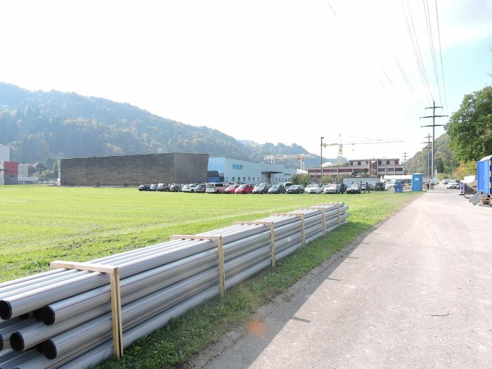
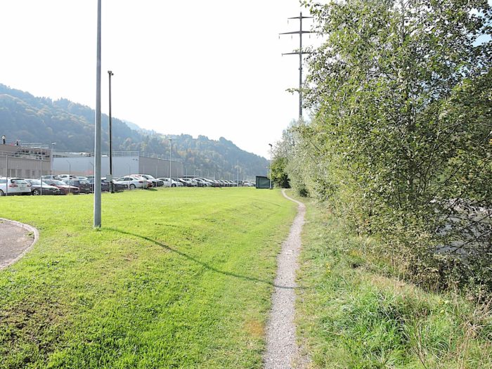
Crossing this industrial zone is rather lengthy, with workers’ vehicles neatly lined up in the parking lots. However, there’s nothing truly inspiring about navigating these living quarters hidden behind immense gray facades.
|
 |
 |
|
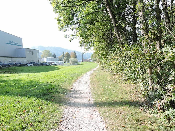
Further along, the trail resumes along the river, away from the deafening engines as the highway ends at Sachsen. This absence is easily explained: farmers don’t need the highway, while industrialists have made it a necessity.
|
 |
 |
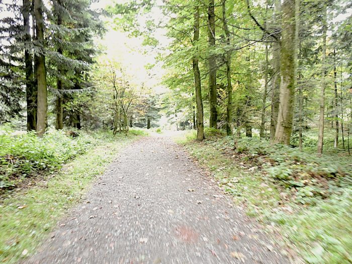
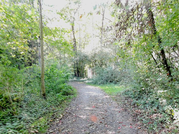
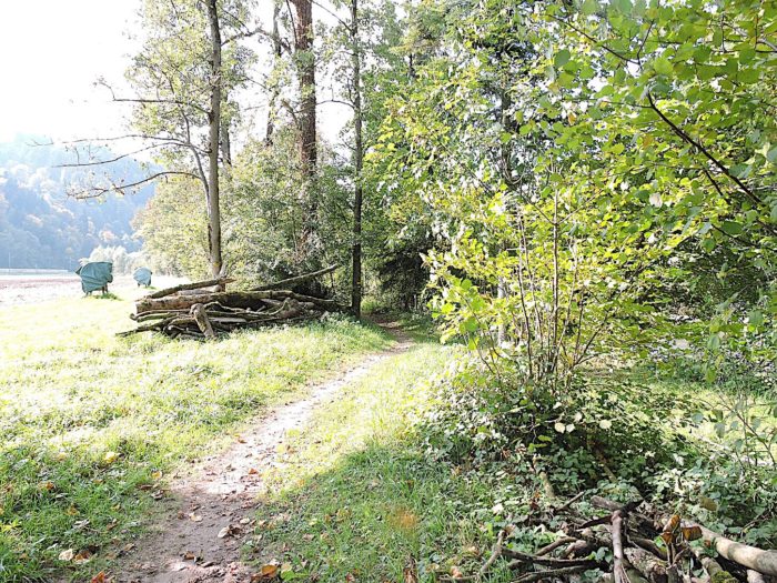
| The trail soon returns to the woods. German-speaking Switzerland is full of picnic areas set up for grilling under the canopy of foliage. Sometimes, all that’s missing is matches to light a fire and fully enjoy these friendly spaces. |
 |
 |
| As the trail emerges from the woods, it gradually approaches RN2 road. |
 |
 |
| The Via Jacobi then crosses RN2 road under a bridge, remaining on the same side of the river. A few meters further, it crosses the railway track again. |
 |
 |
At this point, small « Graben » (ditches) wind through, quite common in the geography of German-speaking Switzerland. These ditches between geological plates can be more or less water-fed. Here, the water flows like a real stream.
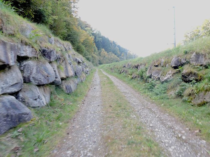
| Next, the wide path climbs over rocks along the railway track, with slopes often close to 10 to 15%. During the ascent, water gushes everywhere from local small « Graben ». Although less imposing than those above Lake Brienz, they add their charm to the environment. |
 |
 |
| Above the railway track, the Kleine Emme cascades through the undergrowth. |
 |
 |
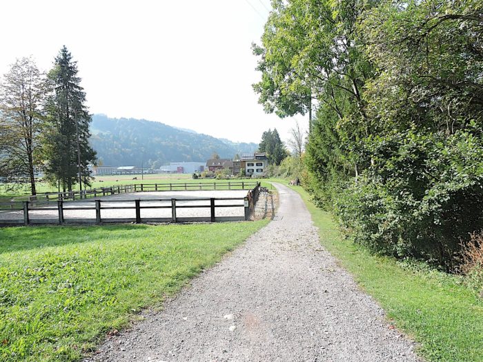
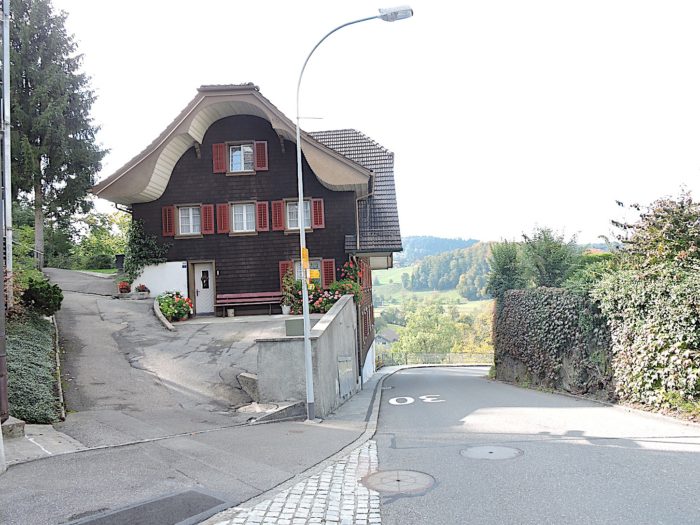
| Even higher, the path runs under a small cliff to open onto a small plateau at a place called Schänkematt. The rural atmosphere is again present, with its green meadows reminiscent of Ireland, and a farm adorned with geraniums, separated from the main building, apparently according to regional tradition. |
 |
 |
| There, a road climbs one last time for today, along the small « Graben » and the cliff. |
 |
 |
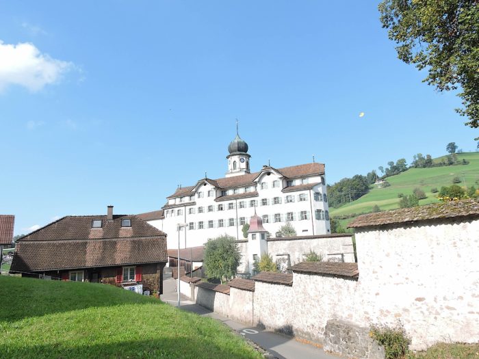
| At the top of this ascent, the Via Jacobi emerges near the Werthenstein convent, a heterogeneous mix of Gothic and Baroque. Its history dates back to the early 16th century, with an apparition of angels that led to the construction of a small chapel in 1520, housing a Pietà. At that time, more than 30,000 pilgrims came here every year, almost as many as at Einsiedeln, the first Swiss pilgrimage site. Due to this success, a church was built in 1616, and the monastery was handed over to the Franciscans in 1636. Although nowadays the monastery has become a parish church occupied by missionaries, it remains a pilgrimage site for the worship of the Virgin Mary. |
 |
 |
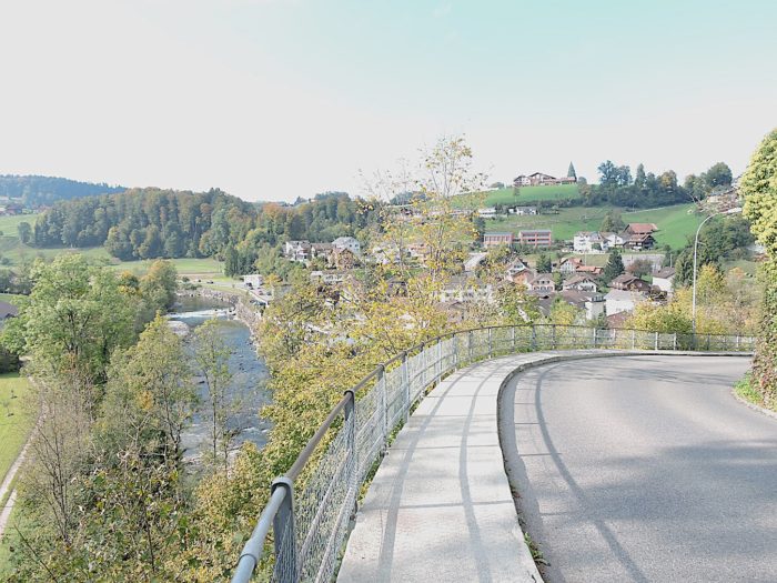
You are now a little above the village.
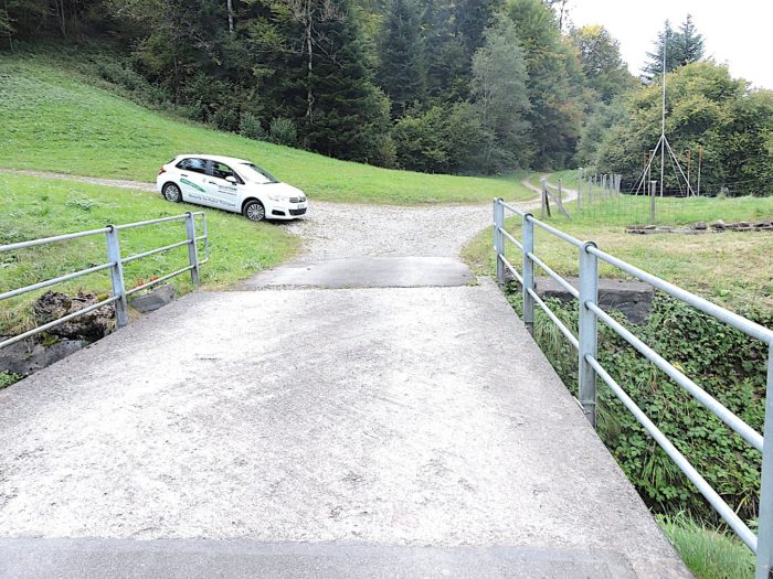
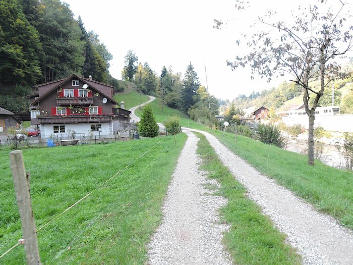
| The road descends from the monastery hill towards the village. |
 |
 |
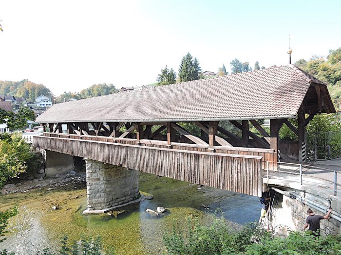
| It passes through an ancient and beautiful wooden bridge over the wild Kleine Emme, classified as a historical monument, with its granite and sandstone pillars, tiles, and ancient sculptures. This bridge, whose origin dates back to the 18th century, has undergone renovations until the end of the 20th century. Formerly, traffic between Luzern and Bern passed through this bridge, but since the construction of the road on the left bank, it only serves local traffic and pedestrians.
In Werthenstein (2,100 inhabitants), as in the entire region, housing options are limited. If the hotel is full, you may need to continue to Menznau. It is therefore recommended to book in advance if you are traveling between Luzern and Bern. Unfortunately, the village is very noisy due to the frequent passage of the RN2 road through the middle of the village. |
 |
 |
Accommodation on Via Jacobi
- Hotel Kreuz, Luzermnerstrasse 63 ; Malters; 041 497 14 01: Hotel, repas, breakfast
- B&B Hofstetter, Langnau 3, Schachen; 041 497 12 36/079 484 69 52; Guestroom, repas, breakfast
- Pilgerwohnung Klosteranlage Werthenstein, Oberdorfstrasse 9, Werthenstein; 079 105 38 62; Gîte, breakfast
- Hotel Rebstock, Menznauerstrrasse 41, Wohlhusen; 041 490 16 89; Hotel, repas, breakfast
Here, the situation is quite precarious. If you are unable to secure a place at the Werthenstein convent, you will need to travel an additional 4 kilometers along the road to Wohlhusen, or continue on the Via Jacobi towards Menznau. However, the latter option will take you more than 10 kilometers away, one-kilometer past Geiss. Another alternative would be to stop earlier, at Malters or Schachen. These two localities, along with Werthenstein, offer restaurants and shops. It is imperative to book your accommodation at all costs, as it is rare to find lodging further on.
Feel free to add comments. This is often how you move up the Google hierarchy, and how more pilgrims will have access to the site.
|
 |
Next stage : Stage 10b: From Luzern to Werthenstein via Via Jacobi 4 |
|
 |
Back to menu |