In the Bernese countryside and forests
DIDIER HEUMANN, ANDREAS PAPASAVVAS

We divided the course into several sections to make it easier to see. For each section, the maps show the course, the slopes found on the course, and the state of the route (paved or dirt roads). The courses were drawn on the « Wikilocs » platform. Today, it is no longer necessary to walk around with detailed maps in your pocket or bag. If you have a mobile phone or tablet, you can easily follow routes live.
For this stage, here is the link:
https://fr.wikiloc.com/itineraires-randonnee/de-burgdorf-a-boll-par-la-via-jacobi-4-jusqua-krauchthal-puis-une-variante-jusqua-boll-185667586
|
Not all pilgrims are necessarily comfortable using GPS or navigating routes on a mobile device, and there are still many areas without an internet connection. For this reason, you can find several books on Amazon dedicated to the major Via Jacobi 4 route, which runs through the heart of Switzerland and over the Brünig Pass. The first guide leads pilgrims through the German-speaking part of Switzerland up to Fribourg, while the second continues through French-speaking Switzerland to Geneva. We have also combined these two books into a compact, lighter, and highly practical version. While the descriptions have been slightly condensed, they remain detailed enough to guide you step by step along the way. Recognizing the importance of traveling light, this latest edition has been designed to provide only the essentials: clear and useful information, stage by stage, kilometer by kilometer. The stages have been carefully adjusted to ensure accessibility and alignment with available lodging options. These books go beyond simple practical advice. They guide you kilometer by kilometer, covering all the crucial aspects for seamless planning, ensuring that no unexpected surprises disrupt your journey. But these books are more than just practical guides. They offer a complete immersion into the enchanting atmosphere of the Camino. Prepare to experience the Camino de Santiago as a once-in-a-lifetime journey. Put on a good pair of walking shoes, and the path awaits you.
|
|
 |
If you only want to consult lodging of the stage, go directly to the bottom of the page.
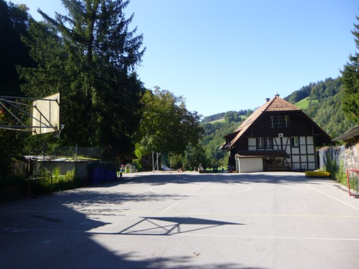
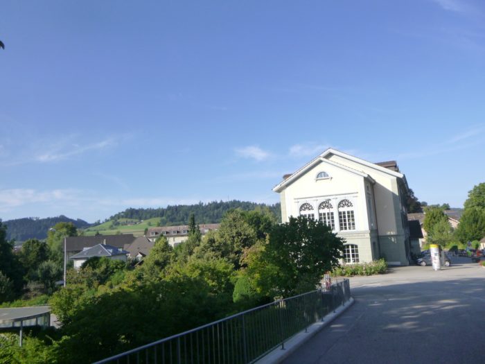
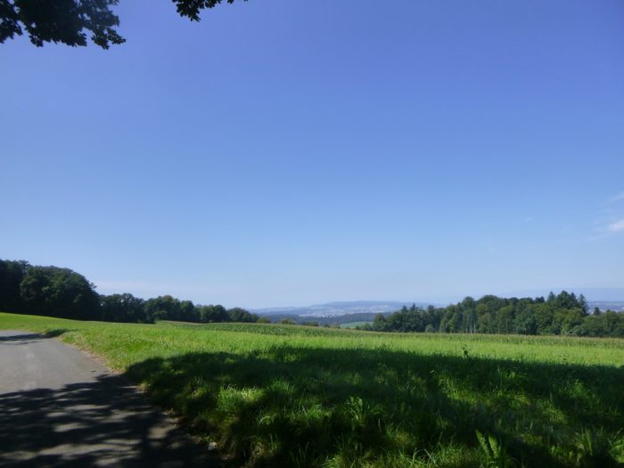
Today’s stage represents a transition between the vast region of Emmental and the greater suburbs of Bern. The route ventures into Krauchthal, a remote valley, far from busy roadways. It is a land of farming and deep forests, shaped by a rugged landscape, with towering hills. It is all the more surprising to realize that the federal capital is nestled at the heart of these vast forests. However, as you approach Bern, the number of small towns increases. The city stretches out into the countryside, as is well known. Here, the Bernese suburbs are so developed that there are likely more people living in the suburbs than in the city itself. Transport in these remote areas is not always easy, but small trains crisscross this large suburban area, making life easier for the locals.
A note here: until Krauchthal, you will walk on the traditional Via Jacobi route. However, from this point, we will deviate from Via Jacobi 4 to follow a variant toward Boll. A small error on our part, perhaps? We also recommend taking this route, as it allows for more walking on trails. However, this track is about one kilometer longer.
.
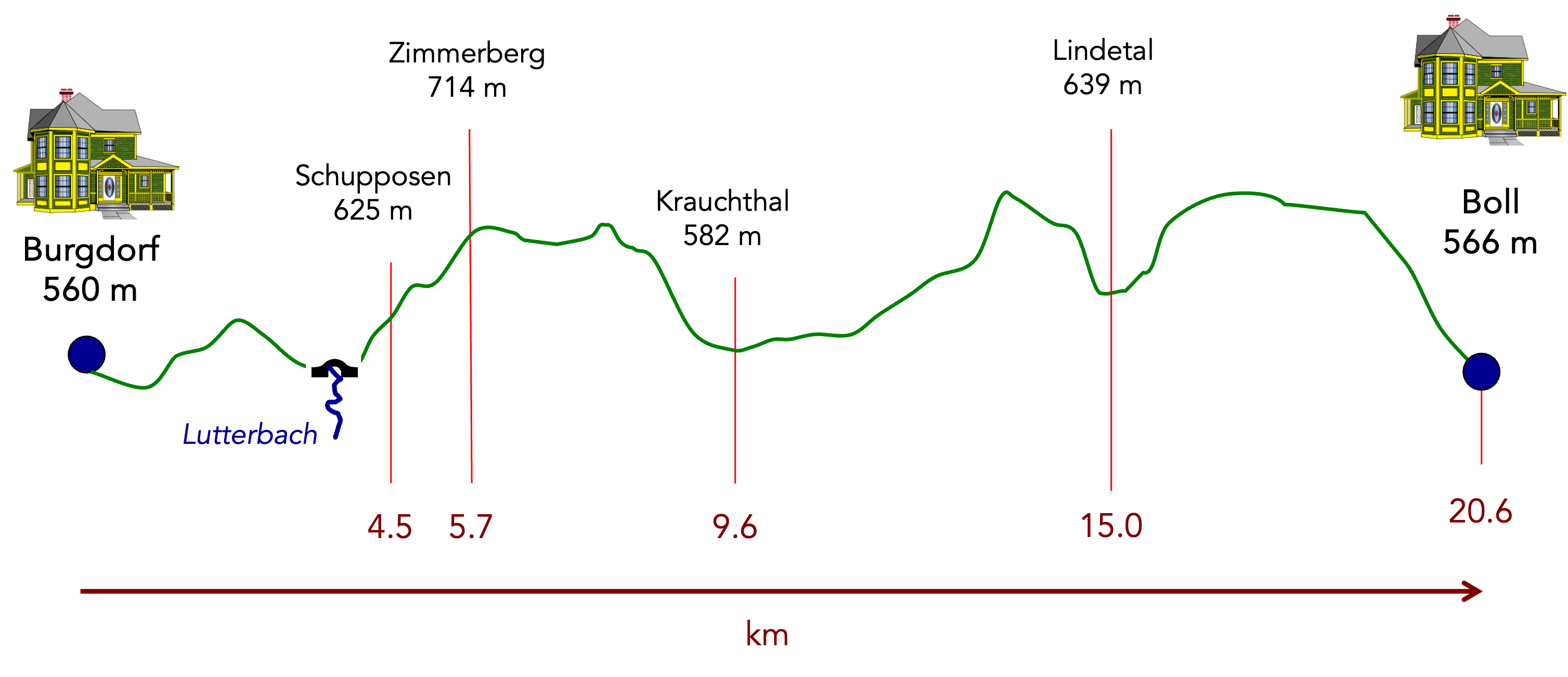
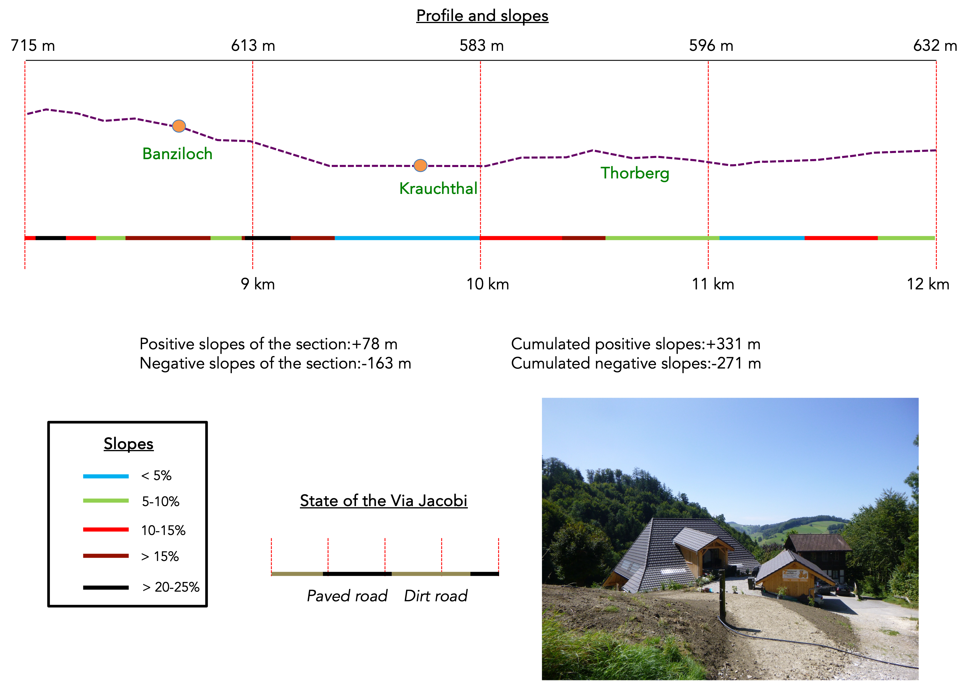
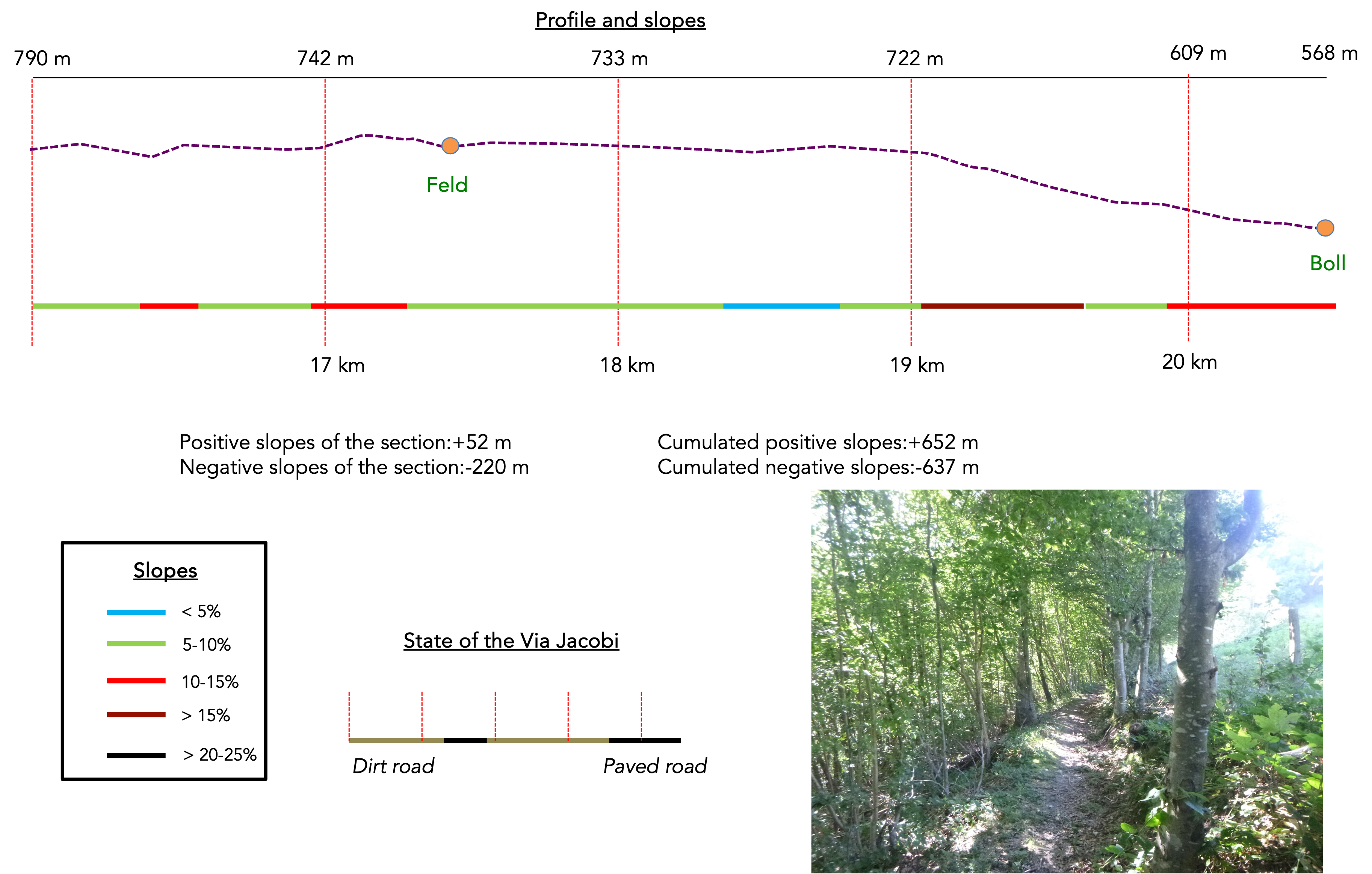
Difficulty level: It is a leg-breaking route with significant elevation changes, both uphill and downhill (+652m/-637m). In fact, there are three major climbs along the way, each descending into a dale: one leading to Krauchthal, the second to Lindetal, and the third to Boll, at the end of the stage. Expect some tricky sections, with steep slopes, sometimes close to 40%, but these steep parts are short.
State of the Via Jacobi: Paths clearly outnumber roads on the alternate route:
- Paved roads: 6.6 km
- Dirt roads : 14.0 km
Sometimes, for reasons of logistics or housing possibilities, these stages mix routes operated on different days, having passed several times on these routes. From then on, the skies, the rain, or the seasons can vary. But, generally this is not the case, and in fact this does not change the description of the course.
It is very difficult to specify with certainty the incline of the slopes, whatever the system you use.
For those seeking « true elevations » and enthusiasts of genuine altimetric challenges, carefully review the information on mileage at the beginning of the guide.

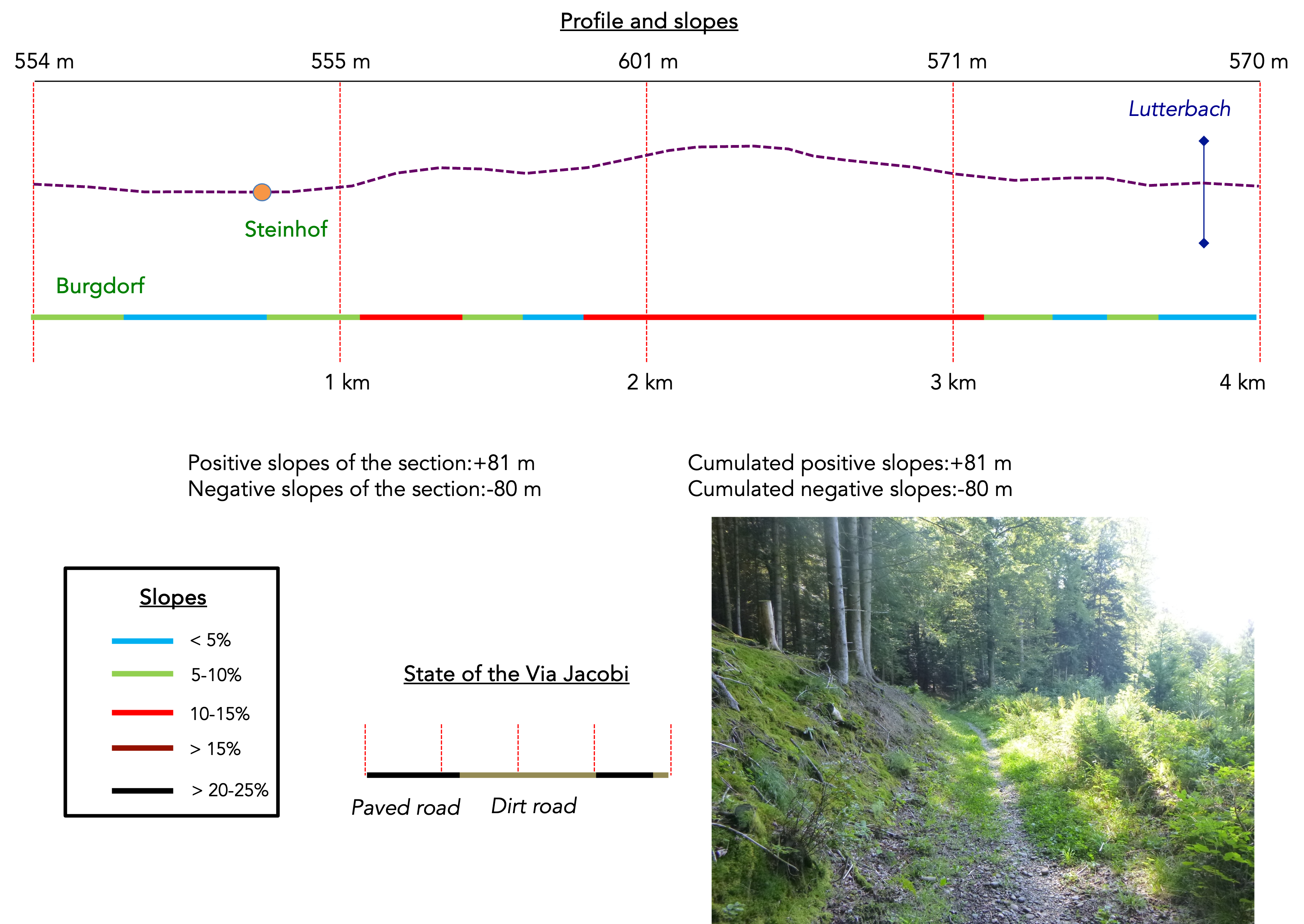
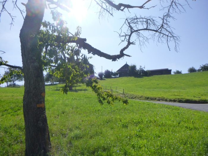
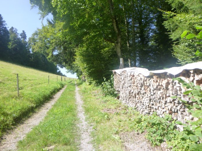
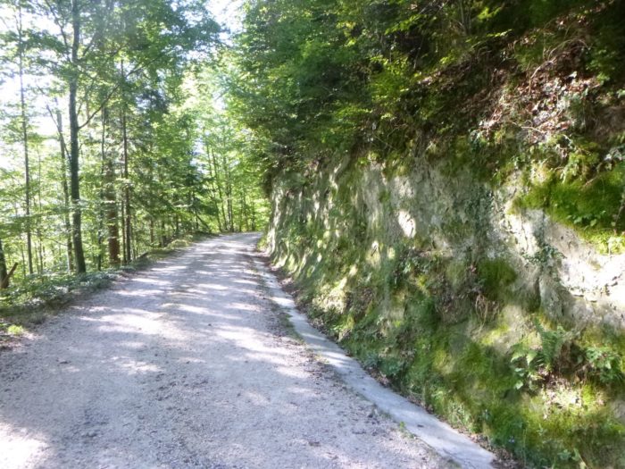
Section 1: In the forests of Burgdorf
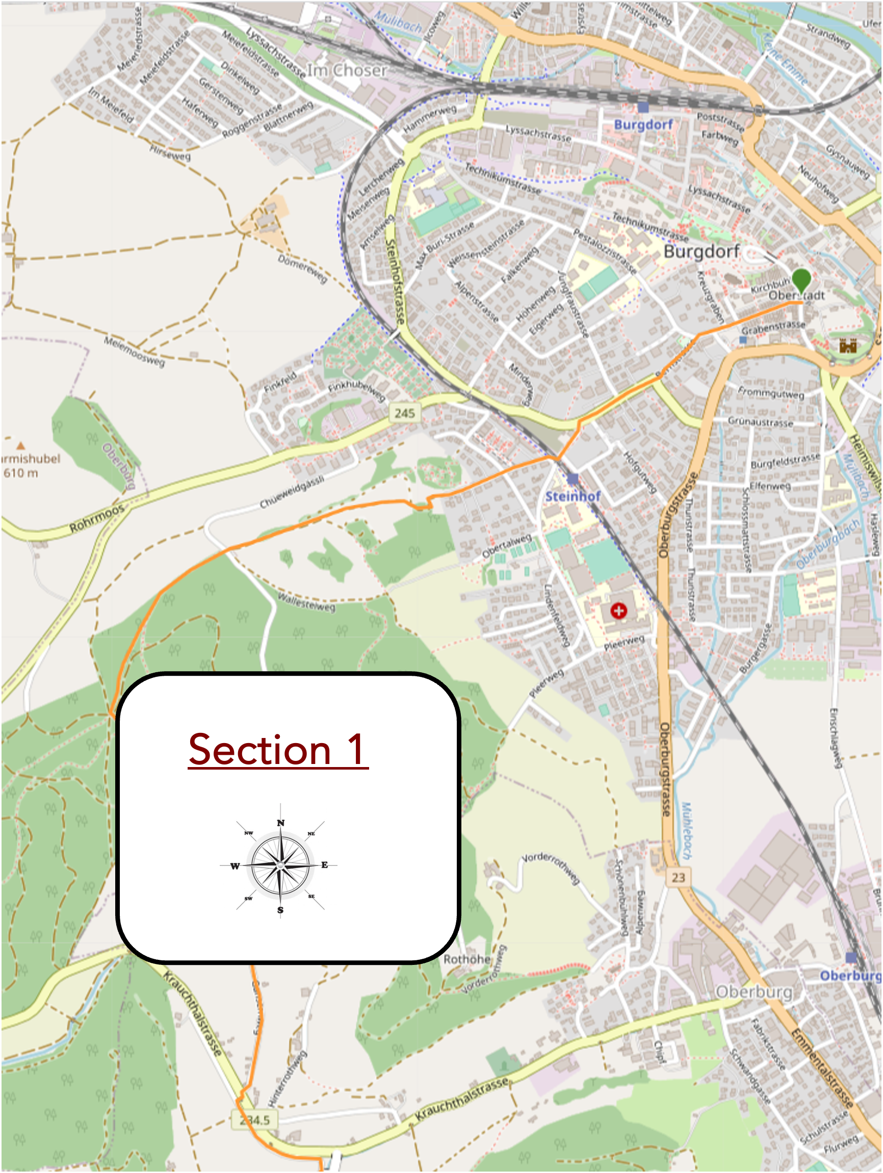
Overview of the route’s challenges: This is a relatively easy route with moderate slopes.
|
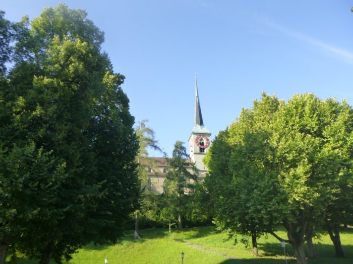
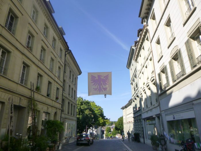
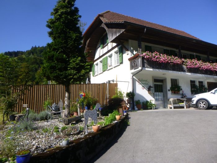
The town of Burgdorf, although intimate and discreet, unfolds with an unexpected complexity. If you’ve had the opportiunity to stay near the train station, it’s worth revisiting, not just to pass through, but to rediscover the charming alleys of the Oberstadt, the Old Town, where every corner seems to whisper ancient tales.
|
 |
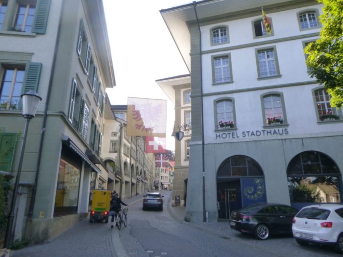 |
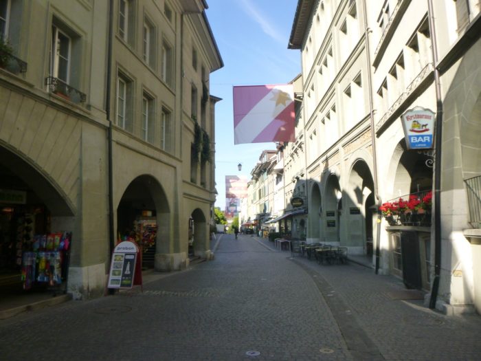
| It is here, at Kronplatz, that the Via Jacobi 4 officially begins, a route steeped in spirituality and history, connecting Burgdorf to far greater horizons. |
 |
 |
|
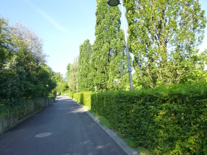
Leaving this town, the road stretches along Bernstrasse, a lively artery pulsating with daily life and the faces of the locals, where you can feel the heartbeat of Burgdorf.
|
 |
 |
Along the way, you’ll pass the cantonal library, a building of austere yet imposing architecture, standing as a silent guardian of knowledge accumulated through the ages.
|
 |
 |
| A little further, like a stop for weary travelers, the road reaches Steinhof suburban station. Here, a network of railway lines crisscrosses the landscape like the veins of a living organism, symbolizing the region’s connection to the outside world. On closer inspection, it’s a secondary line that quietly makes its way toward the main station, emphasizing the subtle dichotomy between modernity and tradition that permeates every corner of the town. |
 |
 |
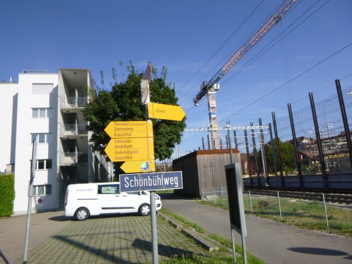
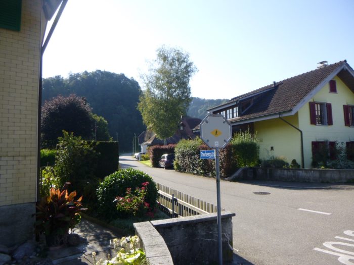
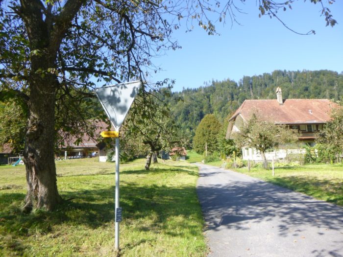
A sign then directs you toward Zimmerberg and Krauchthal, inviting you to further explore the surrounding lands.

| The small road climbing the hillside gently winds between quaint villas and their lush gardens, and soon, you leave the Steinhof suburb behind, leaving Burgdorf as a memory etched in the minds of travelers. |
 |
 |
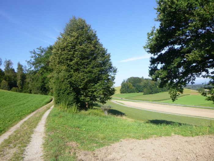
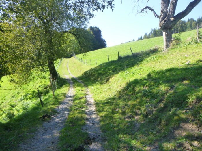
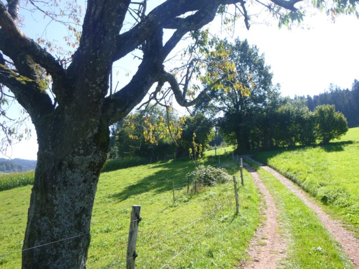
| The road seems to end abruptly, dissolving into a dead end. But there, a path emerges, confidently climbing through meadows and fields, up to the hilltop, where it runs along the ridges, leading into the wooded depths. |
 |
 |
| From this high point, a breathtaking view unfolds: the old town, with its castle dominating the horizon, contrasts with the industrial suburb lying at its feet, as two worlds coexist in silence. |
 |
 |
| The path continues, gently undulating through the fields, a true ribbon of earth unrolling toward the forest. |
 |
 |
| Below, a noisy road serves as a reminder of human bustle, but you are withdrawn, on this peaceful path that leads to a small clearing at the edge of the woods. |
 |
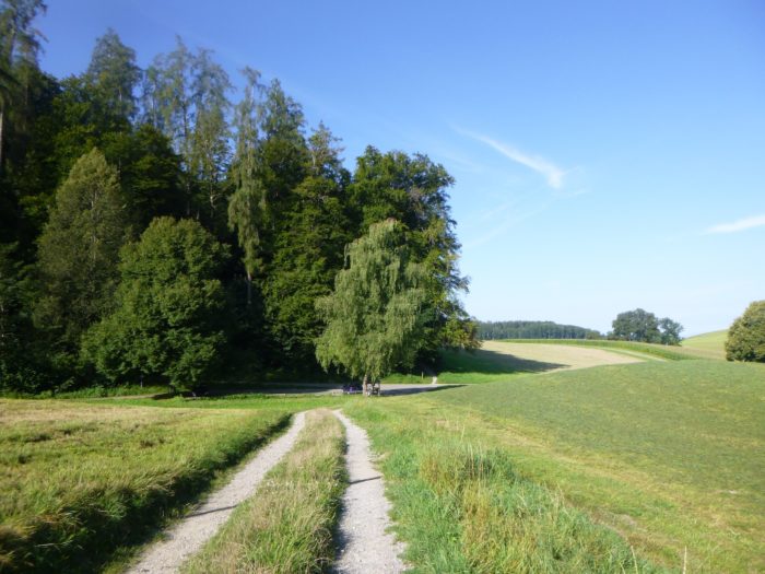 |
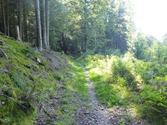
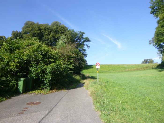
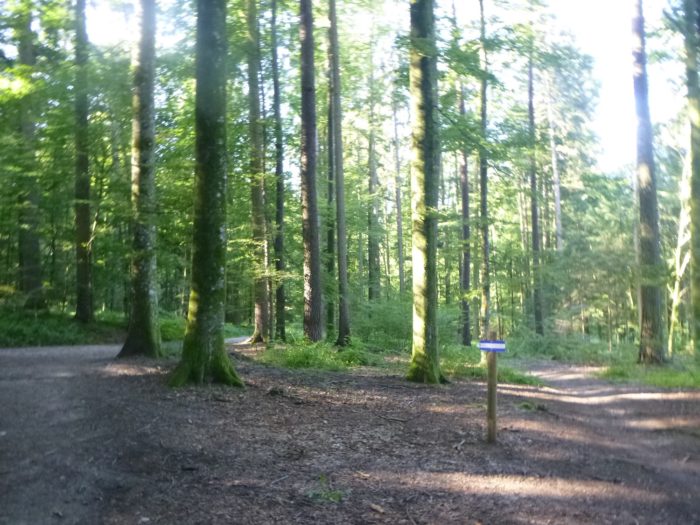
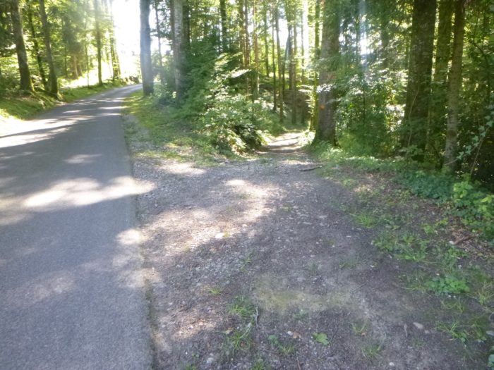
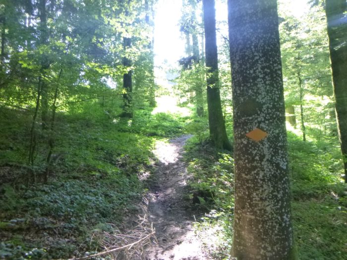
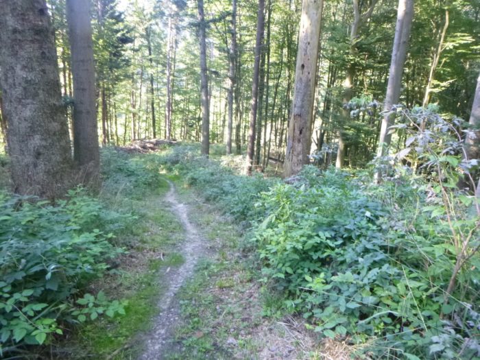
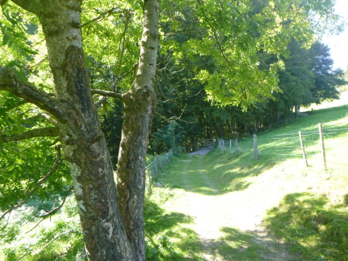
You now find yourself at Pleerecke, a spot marking the solemn entrance into the Pleerwald forest. A sign, as reliable as ever, indicates two times for reaching Krauchthal: 1 hour 40 minutes for the daring, or 2 hours 15 minutes for everyone else. Naturally, you’ll take 2 hours 15, as if the route is inviting you to take your time and savor every step.

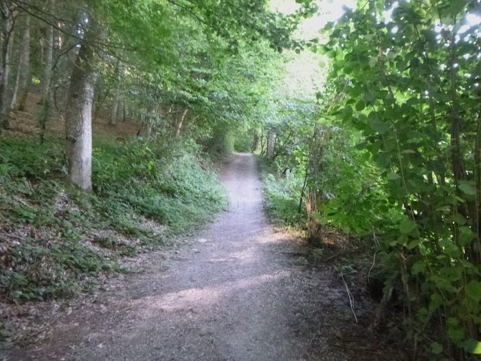
| The path then delves into the forest, an environment where silence and serenity reign. It meanders, undulating with the terrain, like a gentle and continuous melody. |
 |
 |
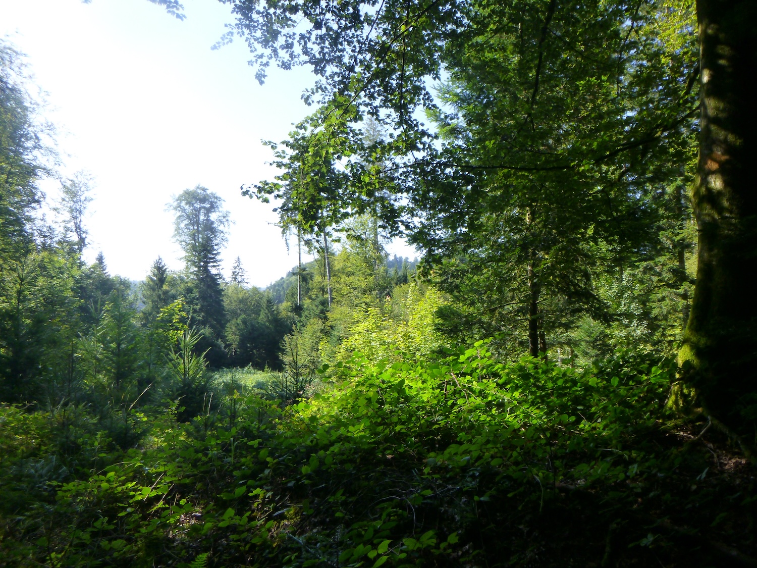
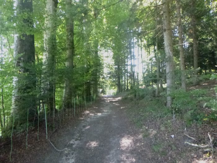
| The tall deciduous trees and conifers dominate the landscape. Here, the massive beeches rise as undisputed masters, while the more modest, rarer oaks are more discreet. Maples and chestnuts add subtle touches to this plant tableau. And in the shadows, the pines and spruces, like silent sentinels, complete this enchanting landscape. |
 |
 |
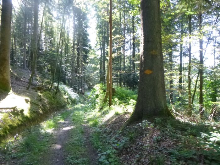
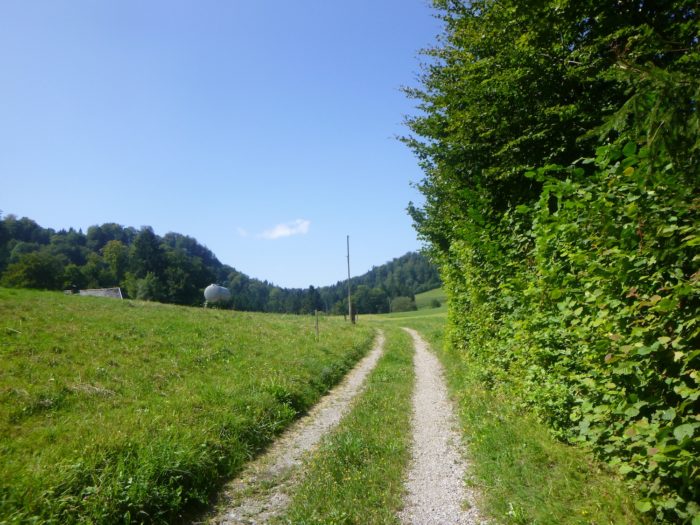
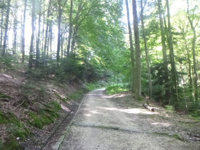
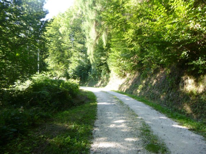
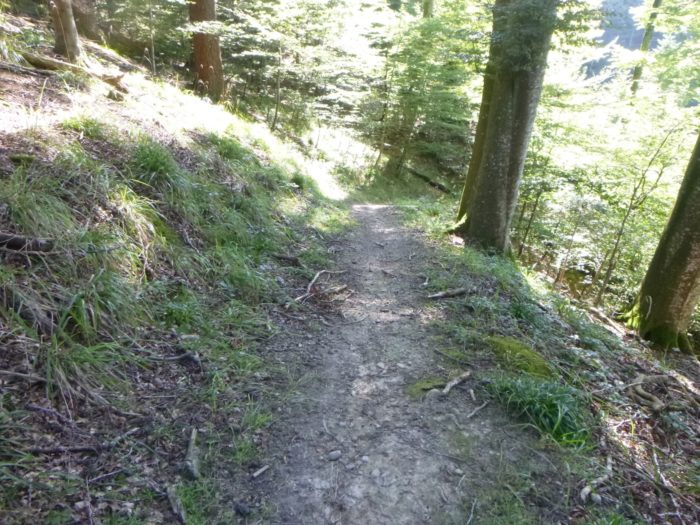
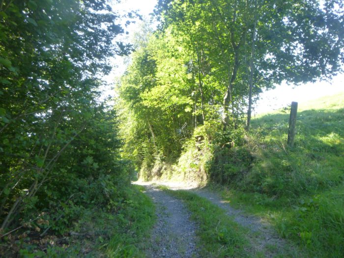
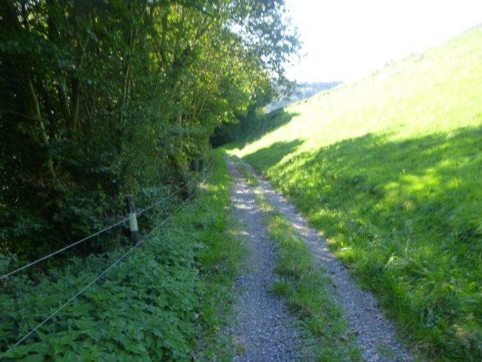
| In the Bernese forests, paths are not always the narrow trails one might imagine. Often, they are broad forest avenues, majestic and welcoming, stretching as far as the eye can see. This forest also houses a fitness trail, a relic of a bygone era when people cared about blending nature with physical exercise, a type of trail that has become rare over the years. |
 |
 |
| A little further, the path gently narrows, as if inviting a more intimate walk, but the light and airy atmosphere of the forest remains intact. |
 |
 |
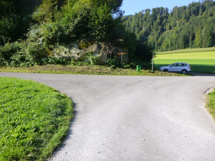
| You then arrive at the place known as Pleerwald/Siebenwegeplatz, whose German name reveals an intersection where seven paths converge. It’s a true crossroads, a puzzle for the walker. A picnic area, complete with a barbecue ready to welcome weary walkers, adds a touch of friendliness to this spot. But beware, here you must choose the right path to reach Krauchthal. Two options are available, and the organizers suggest taking the longer route, with two hours of walking ahead. |
 |
 |
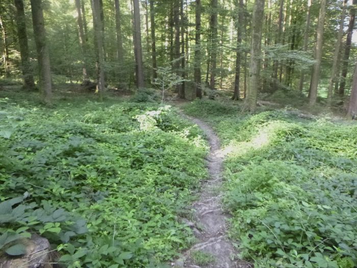
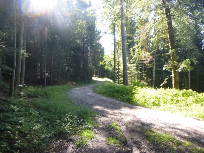
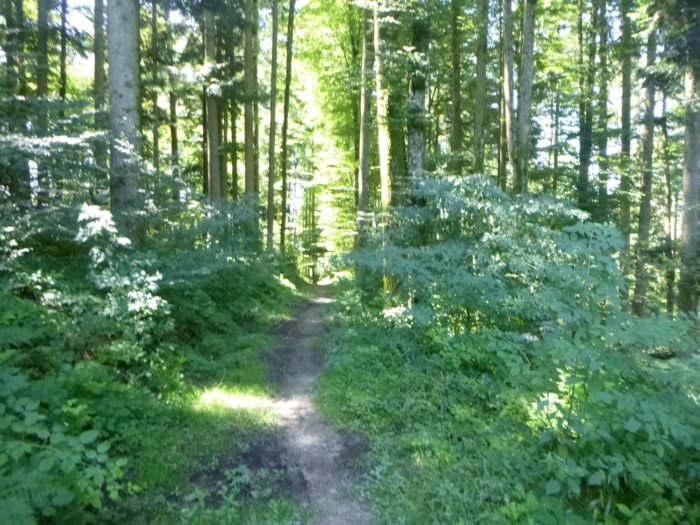
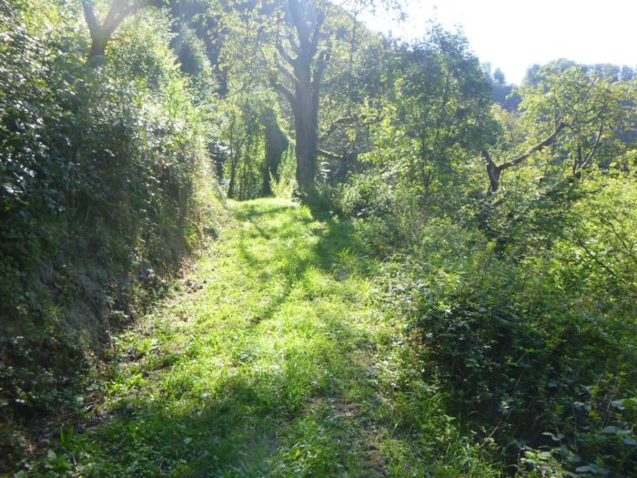
| The wide alley continues to wind through this forest, fragrant with fresh scents, where every step seems to dispel the worries of daily life. Walking here is easy, almost meditative, a true rest for the soul. |
 |
 |
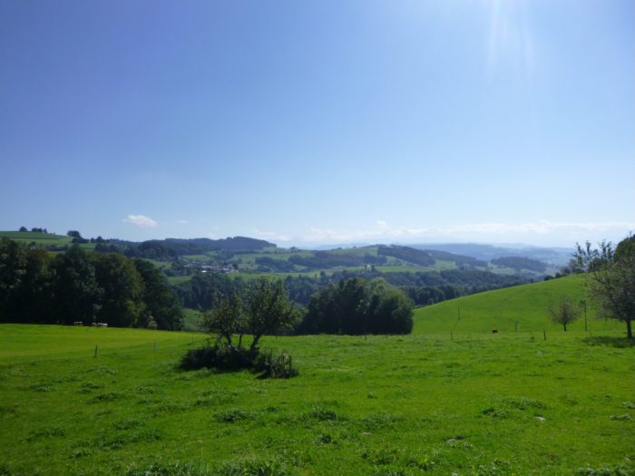
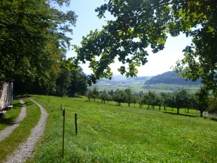
As you lift your gaze, your eyes get lost on the horizon, where dense, nearly impenetrable forests stretch like endless seas of green.
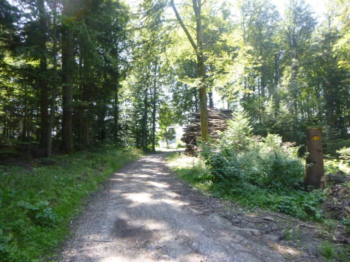
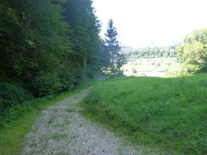
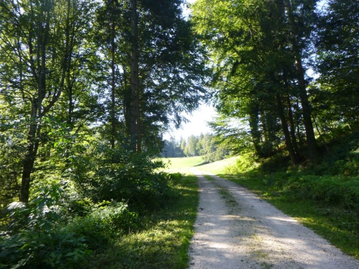
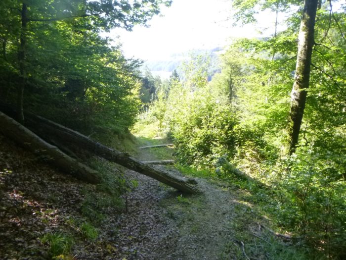
| The Via Jacobi, true to its nature, gradually approaches the forest’s exit. The path, still wide, descends the wooded hill… |
 |
 |
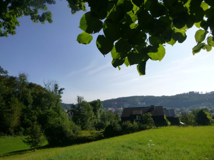
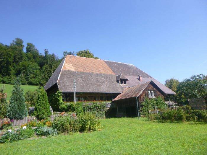
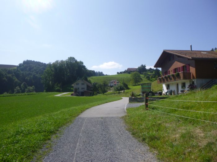
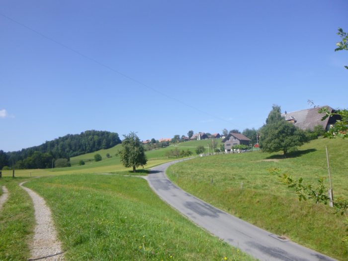
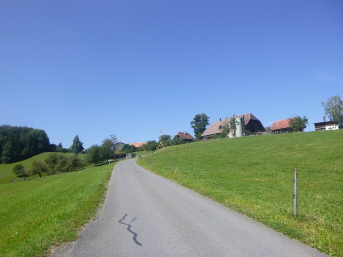
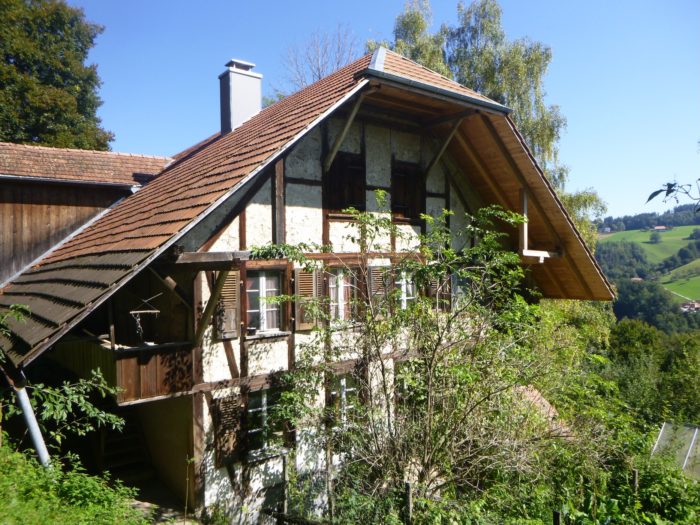
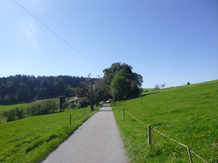
| … to emerge into the open air in a small plain dotted with typical Bernese houses, their steeply sloping roofs nearly brushing the ground. |
 |
 |
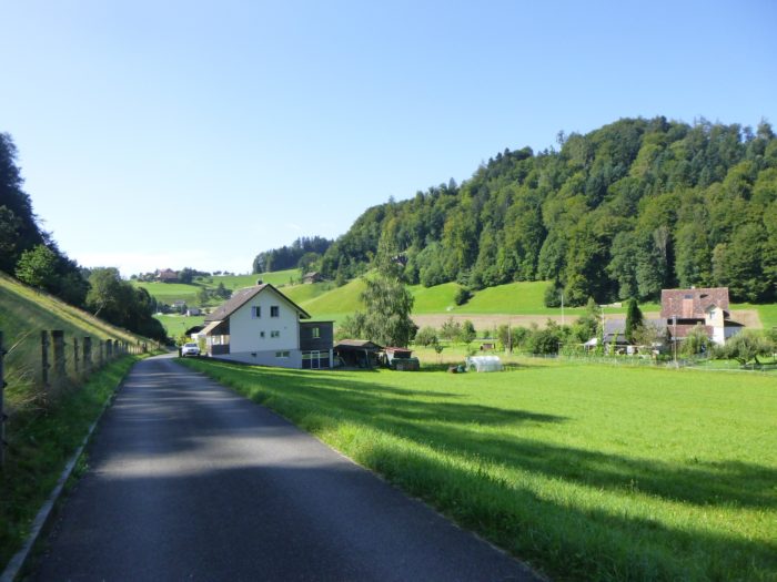
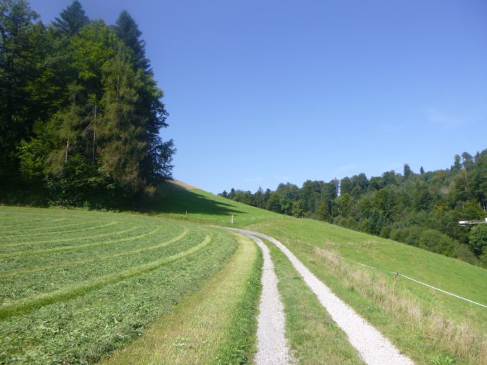
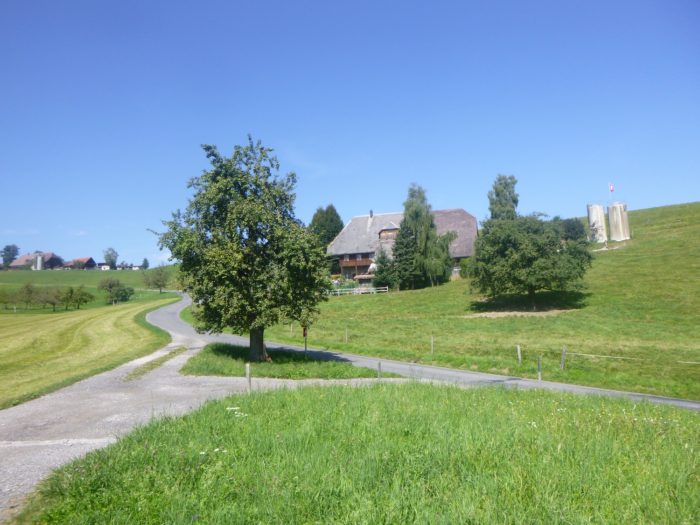
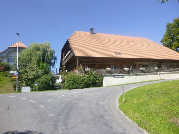
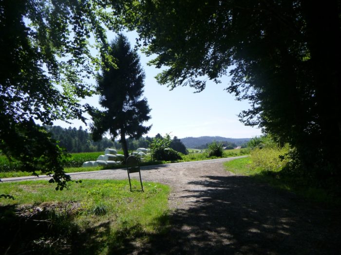
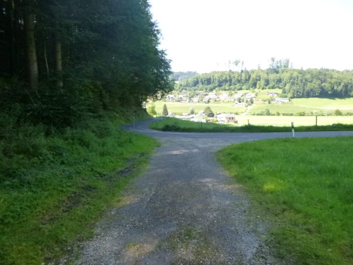
| A ribbon of asphalt appears, a small road that winds through the meadows, among splendid Bernese farms. It leads you directly to Krauchthalstrasse, a busy road crossing the valley at a place called Gansern. |
 |
 |
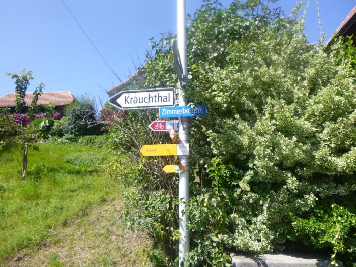
| Don’t let the landscape distract you, as you mustn’t miss a poorly placed sign directing you toward Zimmerberg. Without careful attention, you could end up on the main road toward Oberburg, where the train runs, far from your intended way.
If hunger strikes, know that a restaurant nestled amid gigantic Bernese farms is just a few hundred meters down this main road. It’s a welcome stop for tired walkers. |
 |
 |
| Near the sign, the Via Jacobi crosses the road and once again vanishes into nature. It takes you to a small verdant plain, where the Lutterbach stream flows peacefully, adding a refreshing touch to the landscape. |
 |
 |
Section 2: Between forests and countryside
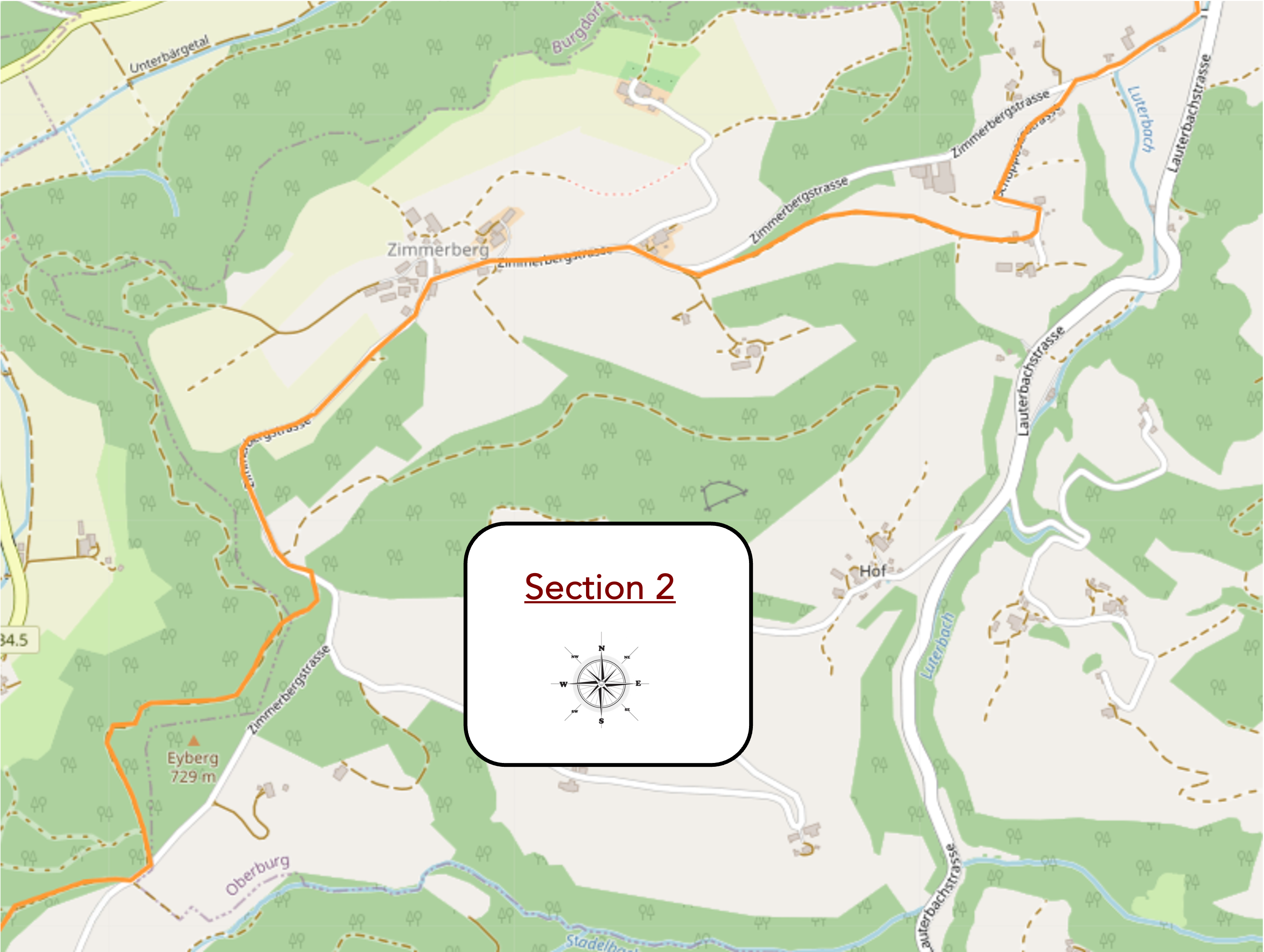
Overview of the route’s challenges: a steep ascent with frequent severe.
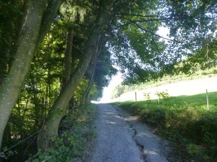
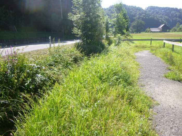
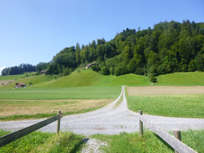
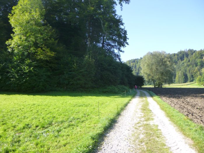
| The Via Jacobi briefly touches the Lutterbach stream, accompanying it before crossing the plain. It then takes off along a dirt road winding through the meadows, with a hill in the distance calling out to the hiker. |
 |
 |
| Suddenly, the path takes a sharp turn, heading toward the peaceful farms of the Mattenhof hamlet, nestled in the gentle countryside of the Bern region. |
 |
 |
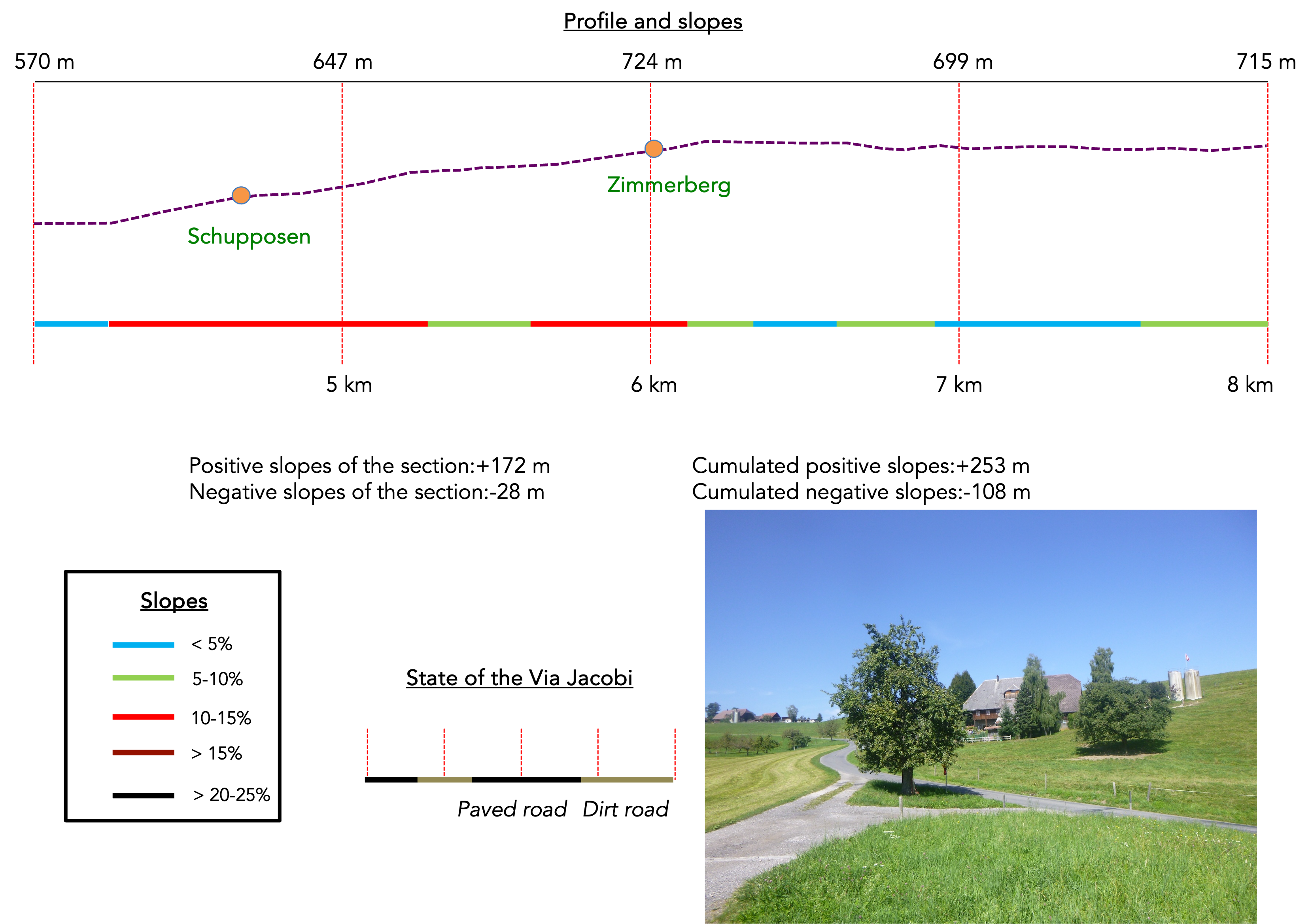
| Here, the road climbs toward Zimmerberg, but the Via Jacobi, true to its wandering nature, leaves this road to follow a small lane ascending toward Schupposen. |
 |
 |
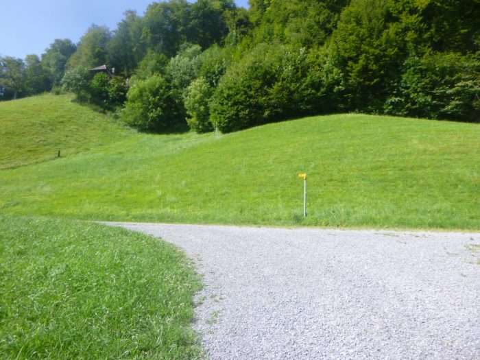
| The slope quickly becomes steep, reaching a 15% incline, demanding sustained effort from the hikers. Across the meadows and scattered crops, the ever-present forest in the background watches over this challenging climb. |
 |
 |
| Each step is hard-won with a few drops of sweat, until finally, the foot of the hamlet reveals itself, like a well-deserved reward after this demanding climb. |
 |
 |
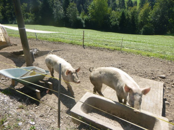
| Schupposen is a modest hamlet, where a few farms are scattered across the landscape. Here, cows reign supreme, and free-range pigs add a lively touch to this rustic corner. |
 |
 |
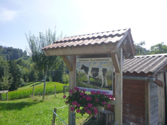
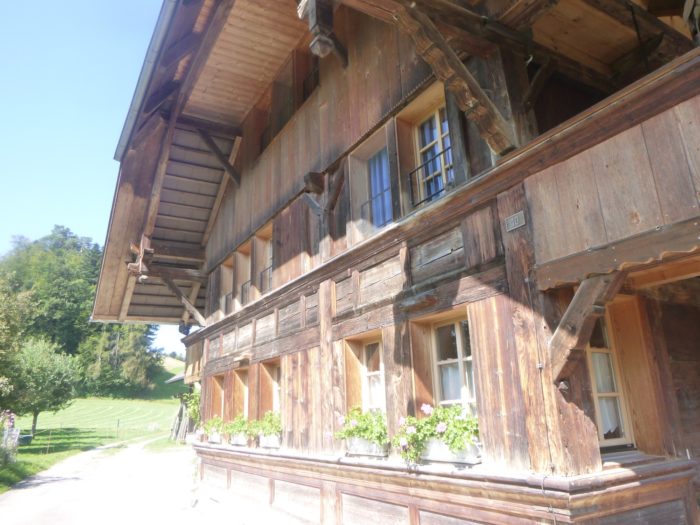
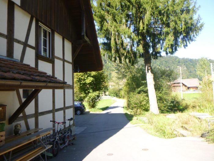
| At the corner of a large wooden-clad house, the Via Jacobi gently flattens to reach the last farms of the hamlet. Along the way, the path passes by a magnificent wooden chalet, a true gem of Alpine craftsmanship. |
 |
 |
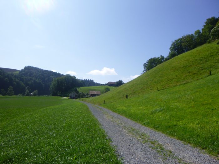
| Once Schupposen is behind you, the path becomes more intimate, a dirt road climbing gently along the hillside, before giving way to a grassy trail, as if inviting a gentler, more peaceful walk. |
 |
 |
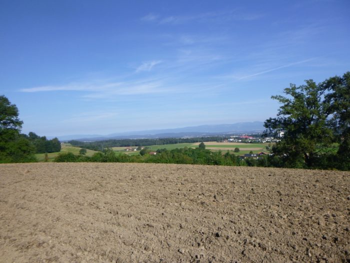
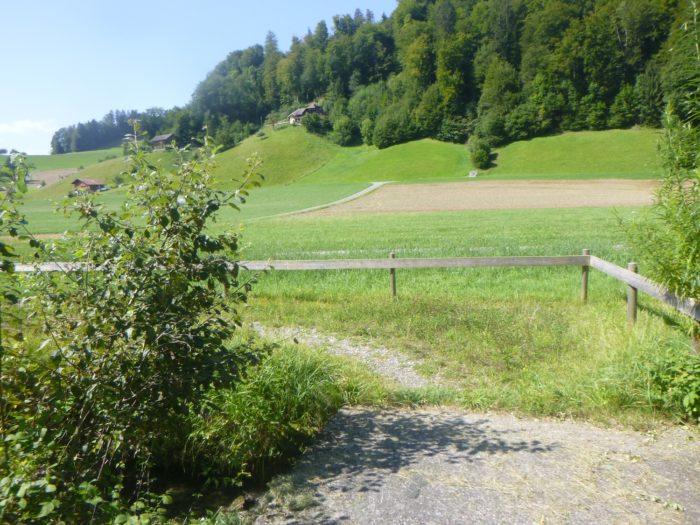
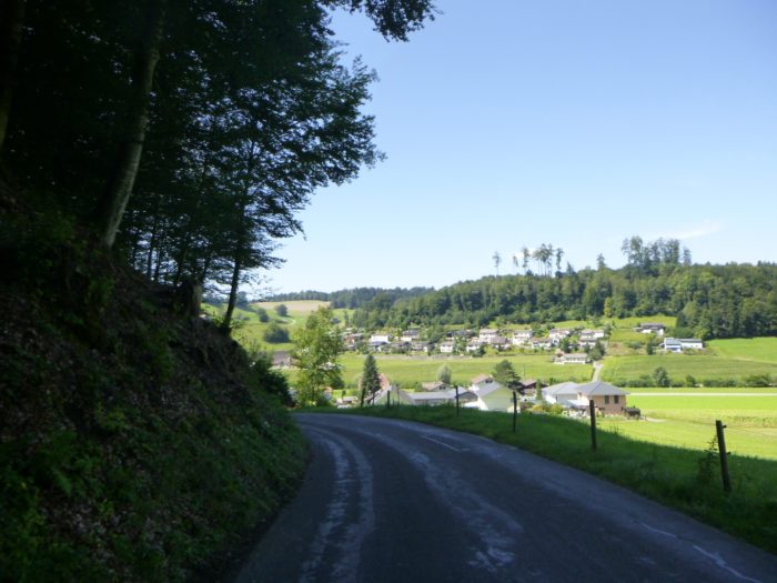
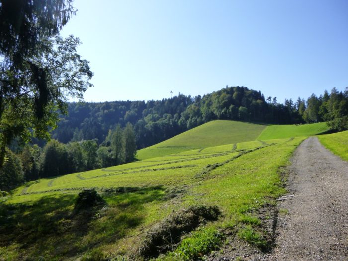
If you turn around, you’ll be rewarded with a splendid view. Down below, the valley stretches out, with the village of Oberburg, a large town that dominates this part of the region like a silent guardian, in the background.
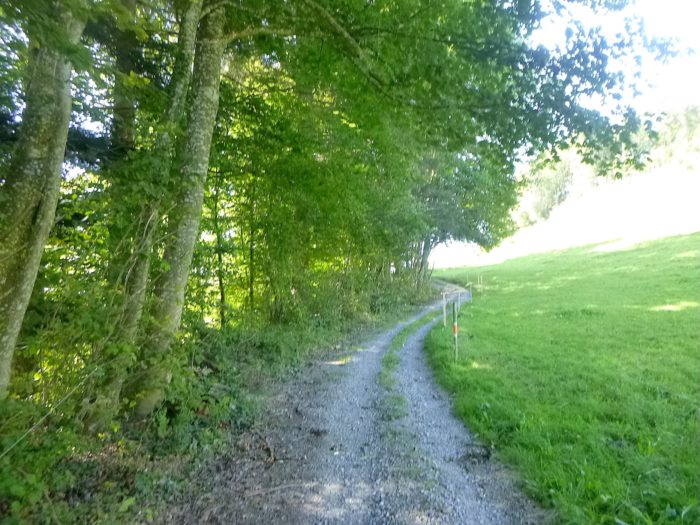
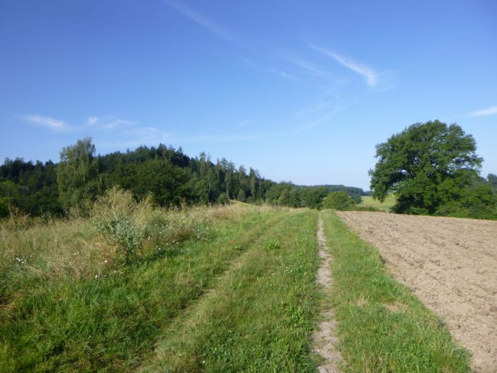
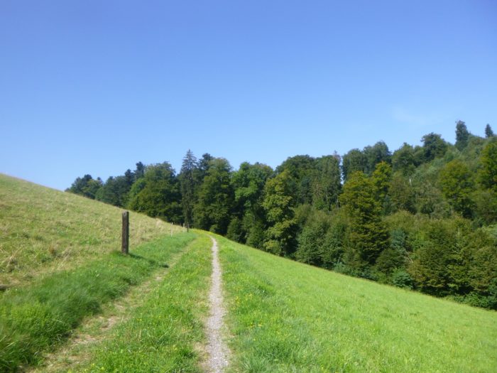
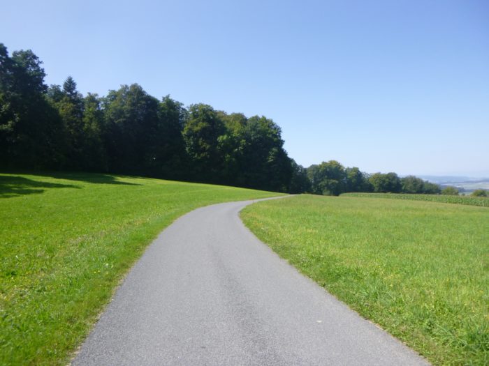
| The slope eases, and the trail winds through the grass, following the ridge, skirting the forest, and passing through thick hedges of hazel trees. The air is perfumed with vegetation, making for a soothing walk. |
 |
 |
|
At the end of this verdant ridge, the path joins the road below Zimmerberg.
|
 |
 |
|
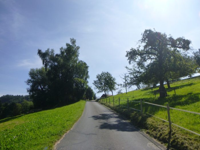
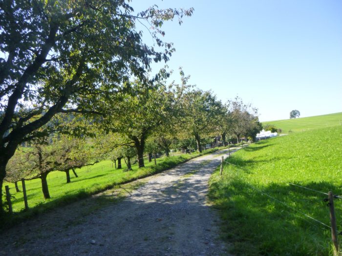
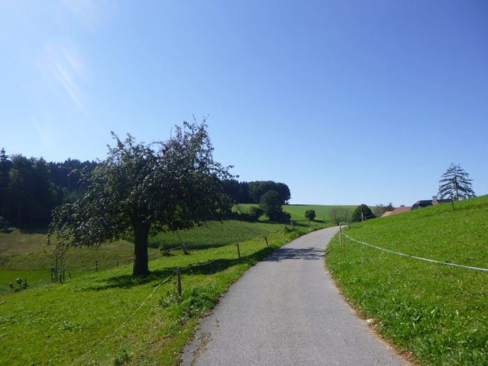
The moderate slope does not exceed 10 to 15%, making the approach to the village easier. On this fertile hill, old pear and apple trees raise their gnarled silhouettes, witnesses to a region where fine spirits are frequently distilled. There’s no doubt that local distilleries are not far away in this land where white spirits abound.
|
 |
 |
The farms that line the road remain as majestic as ever, some reaching impressive dimensions. An impromptu refreshment stand set up under the trees offers a welcome stop for hikers, only an hour away from Krauchthal.
|
 |
 |
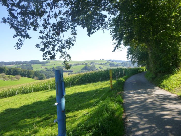
| At the village’s edge, the road continues to climb gently, following a ridge that reveals a splendid view of the valley below, an open and bright panorama. |
 |
 |
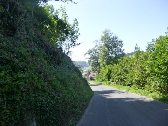
| The road then descends in a very gentle slope, winding through the meadows, skirting the forest’s edge. |
 |
 |
| Further down, it makes a brief foray under the tall deciduous trees, a shaded passage where the sunlight plays with the dancing leaves. |
 |
 |
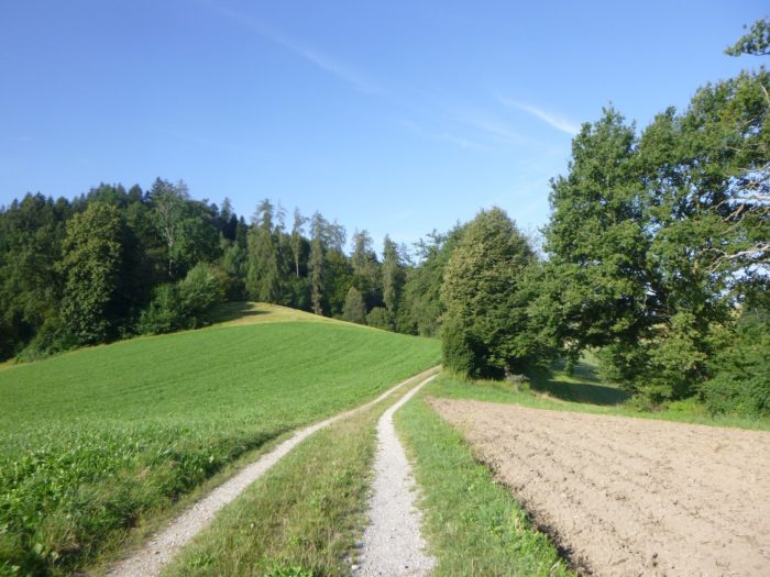
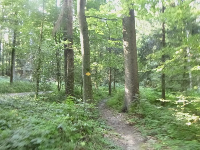
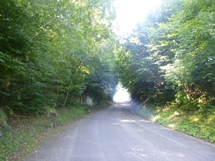
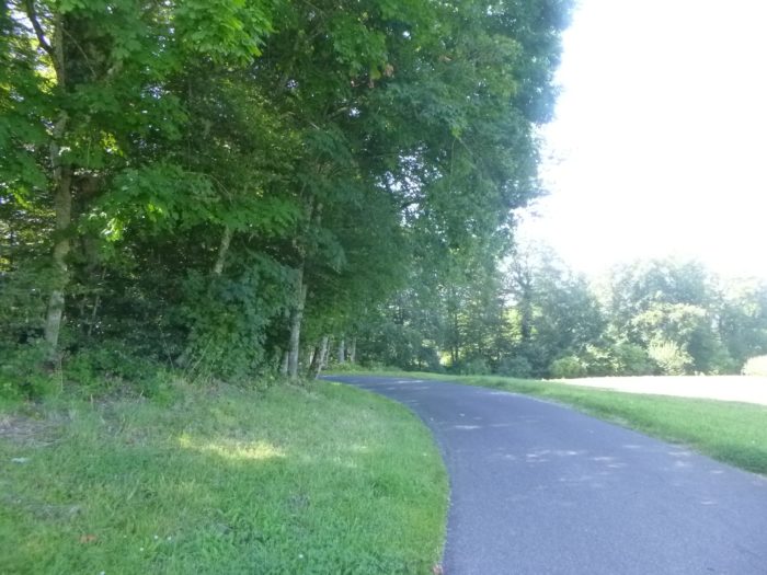
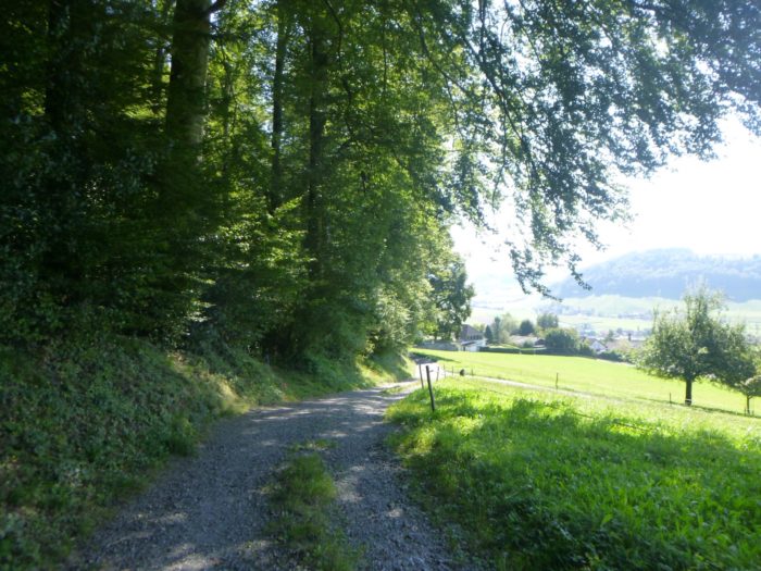
| Soon, the Via Jacobi leaves the paved road to venture onto a wide path that plunges into the forest, a return to nature, far from human roads. |
 |
 |
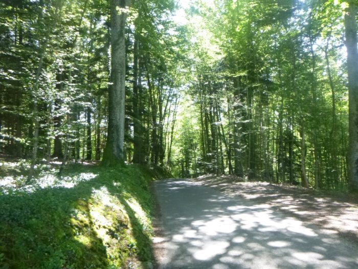
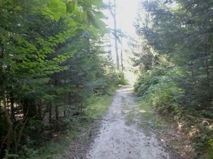
| The path gently undulates through the Eyberg Forest, a true cathedral of towering beech trees that soar toward the sky, while more modest oaks quietly stand guard. Maples, like conifers, are rarer in this part of the woods. |
 |
 |
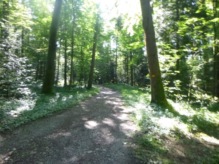
| At the exit of this majestic forest, the path briefly meets a small paved road, an ephemeral passage before diving back into the shadows of the woods. |
 |
 |
| The path soon leaves the road again, returning to its wilder nature, as it once more weaves under the canopy, still on a gentle slope. |
 |
 |
| The packed earth path undulates softly beneath the colossal beech trees, which reign as the uncontested masters of this forest. A few pines and oaks try to break through this vegetative dominance, seeking a bit of air and light in this sea of leaves. |
 |
 |
Section 3: In the Krauchthal basin
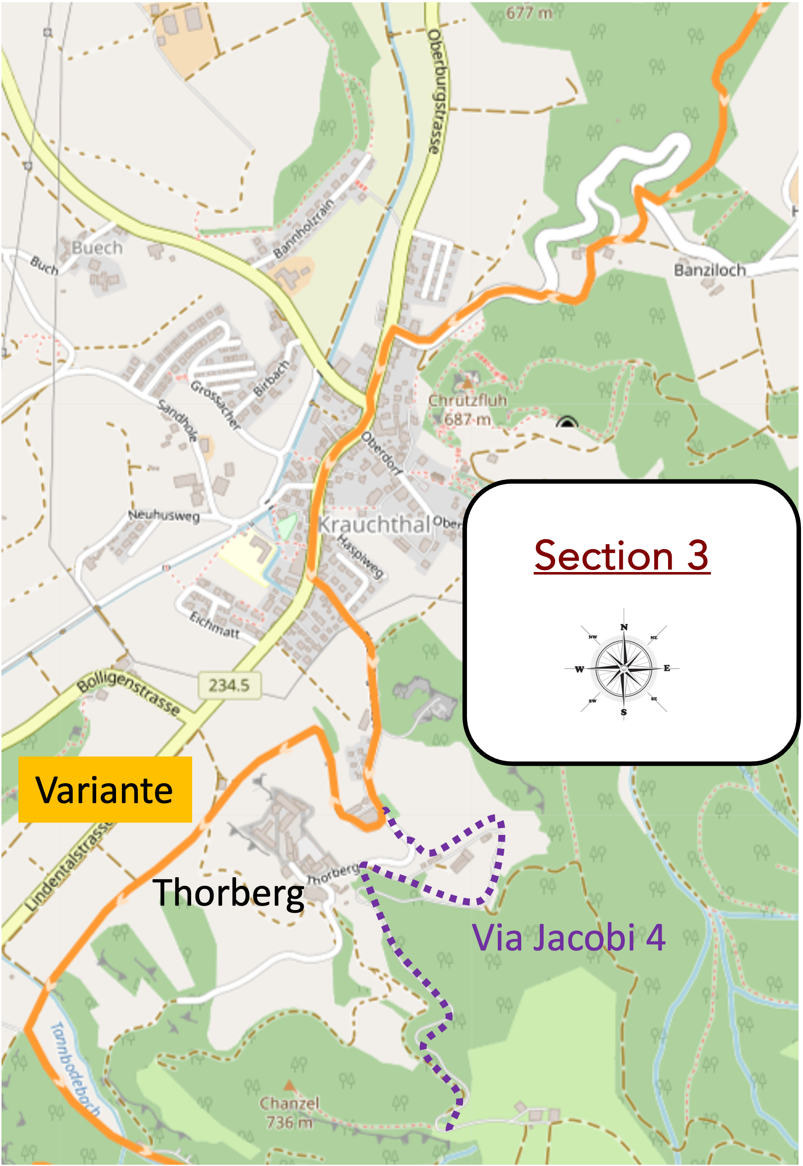
Overview of the route’s challenges: a route with frequent very steep inclines.
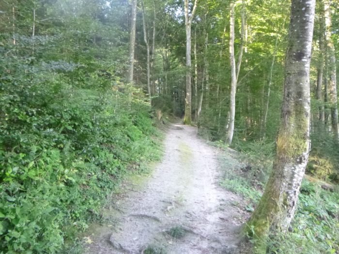
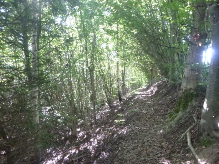
| The walk through this magnificent forest continues, each step drawing you deeper into the tranquility of this natural sanctuary. |
 |
 |
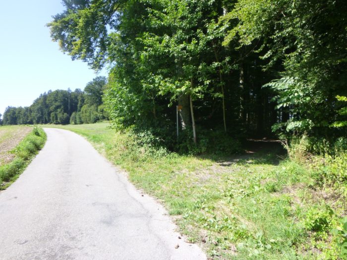
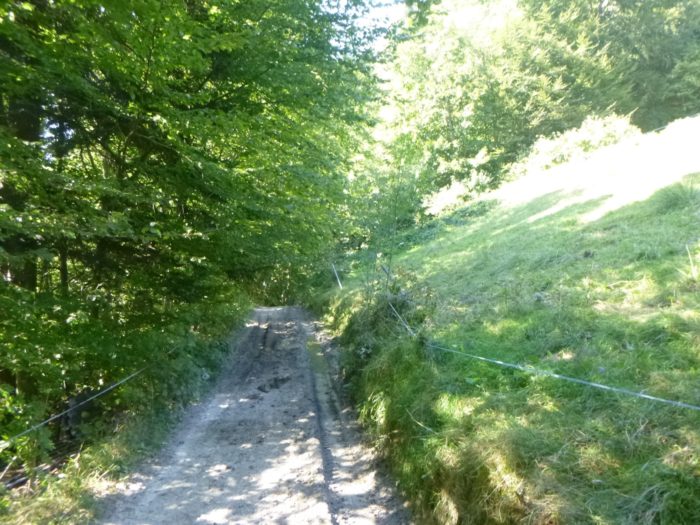
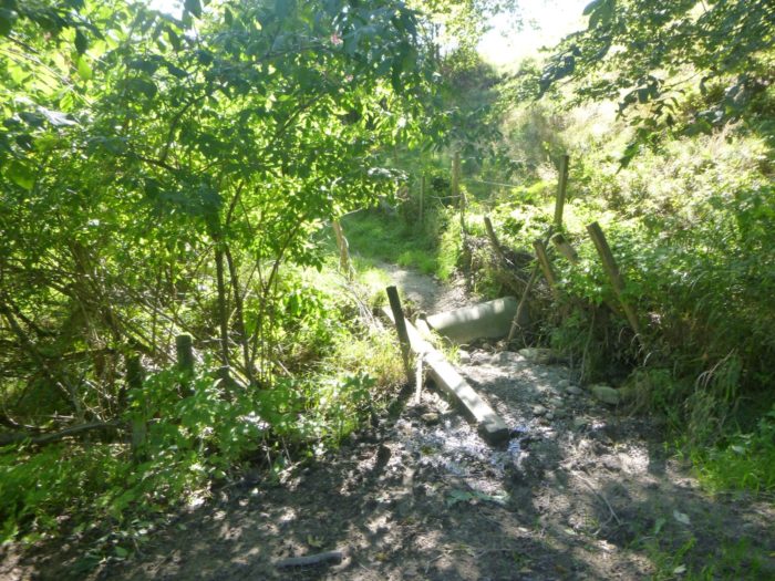
| But suddenly, the landscape changes dramatically. Before you, hell materializes in the form of a narrow trail plunging into the darkness of the woods, with a dizzying slope of more than 40%. Without trekking poles for stability, each step becomes a challenge, a battle against gravity. Fortunately, the young beech saplings lining the path seem providentially placed, offering welcome handholds for imprudent hikers. Thankfully, this ordeal is short, a painful but brief descent. |
 |
 |
| At the bottom, the slope finally softens under the dense canopy, and the air becomes more breathable, lighter. The silence of the woods is punctuated only by the whisper of leaves in the wind. |
 |
 |
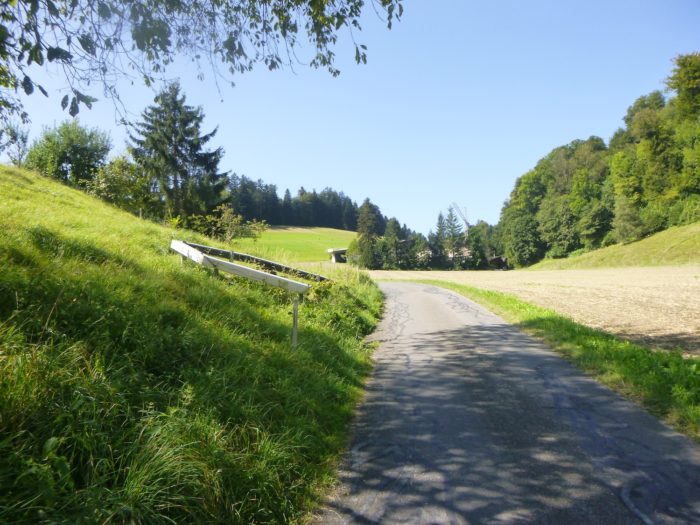
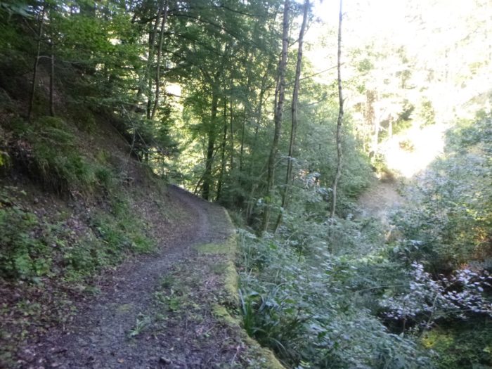
| After a few moments, the trail escapes the forest’s cover, emerging onto a small road that meanders peacefully, connecting one village to another like a quiet artery through this hilly region. |
 |
 |
| But the asphalt offers little respite; soon, the Via Jacobi leaves the road to dive back into the shaded tranquility of the woods. |
 |
 |
| This time, the passage through the forest is brief. The trail quickly slips through the meadows, where the horizon opens once again before your eyes. |
 |
 |
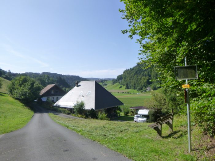
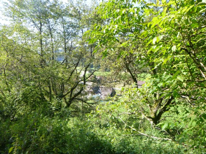
| Soon, the Via Jacobi runs through the picturesque hamlet of Banziloch. This enchanting place, nestled among steep hills, is a true Bernese gem, where the traditional houses proudly display their roofs so wide they almost touch the ground. The charm of this place is absolute, enhanced by the sheep and goats peacefully grazing on the green slopes. From this pastoral setting, Krauchthal reveals itself in the distance, down in the plain. |
 |
 |
| The Krauchthal region, once a stronghold of stonemasons, still bears traces of this industrial past. By the mid-19th century, an inn named Zum Weissen Rössli became the favored gathering spot for these craftsmen. It is said that silicosis, the dreaded disease of stonemasons, was treated there with generous swigs of Bätrziweasser, a spirit so strong it could cut glass on its own. |
 |
 |
| Resuming your journey, just a few dozen meters further down the road, the Via Jacobi 4 plunges once more into the undergrowth. Here, the trail becomes more capricious, the slope steeper, tall grasses brushing against you, and the walk becomes more demanding. |
 |
 |
| The closer you get to Krauchthal, the more the terrain seems to test your endurance. The path joins a small road, but the descent remains just as intense, requiring patience and effort. |
 |
 |
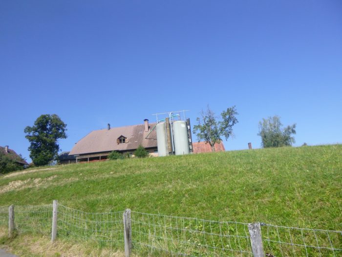
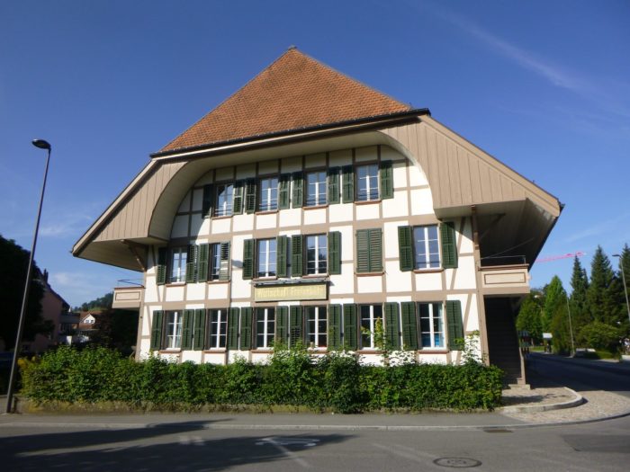
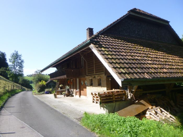
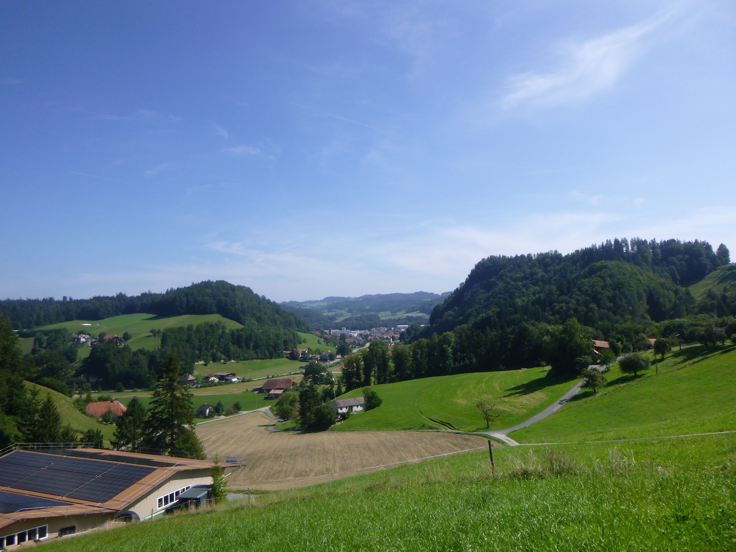
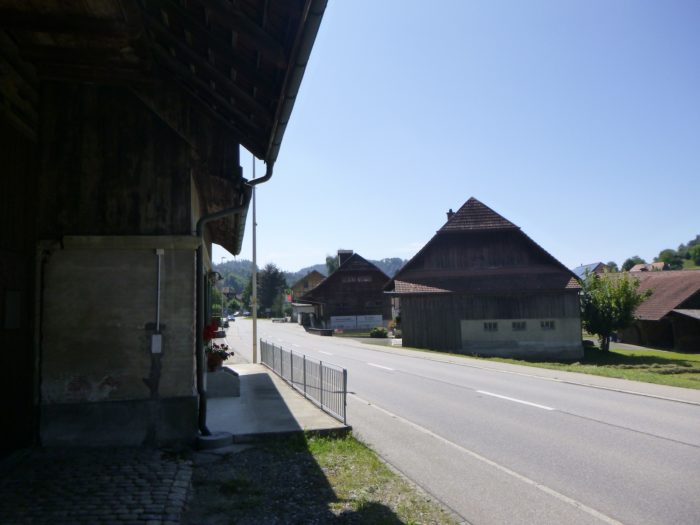
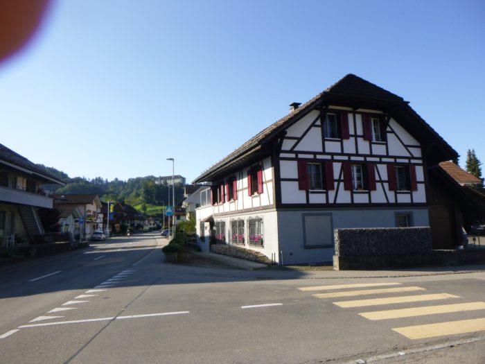
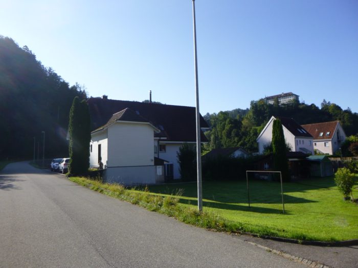
| As you approach a small town, the urban landscape inevitably evolves. Krauchthal (population 2,400) is no exception: soulless villa neighborhoods gradually encroach upon the surrounding villages. Yet despite this modernization, Krauchthal still retains some traces of its past, notably through its imposing farms that stand as relics of another era. |
 |
 |
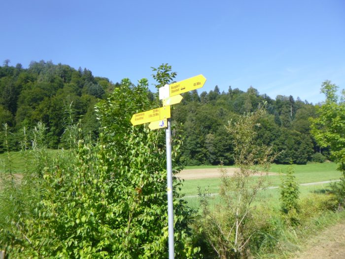
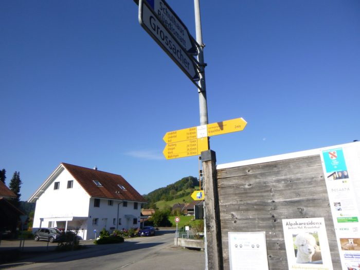
| At the bottom of the descent, the Via Jacobi meets the main road that runs through the locality. Here, you can stop for refreshment at a café or the grocery store. A sign indicates that Boll is a 3-hour, 15-minute walk from here on the Via Jacobi 4. |
 |
 |
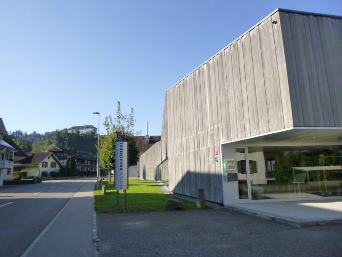
| Following this road, you’ll pass by the museum dedicated to the stonemasons of yesteryear, a true testament to the local history. |
 |
 |
|
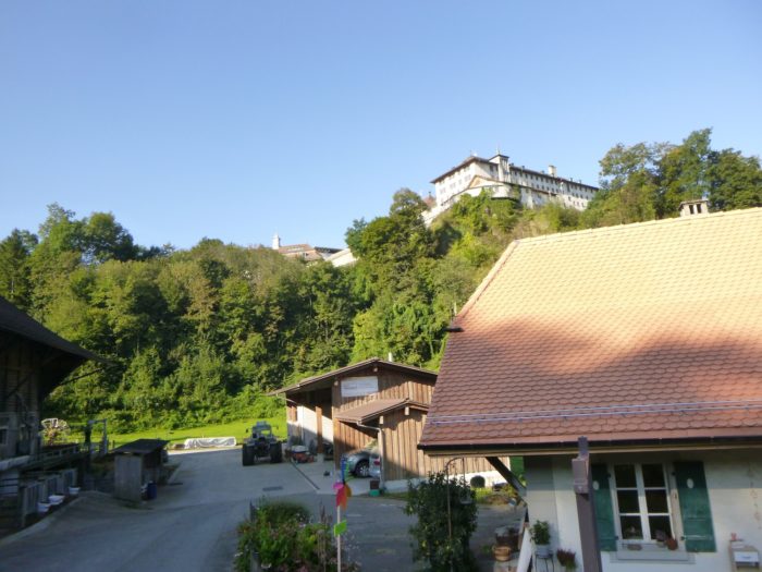
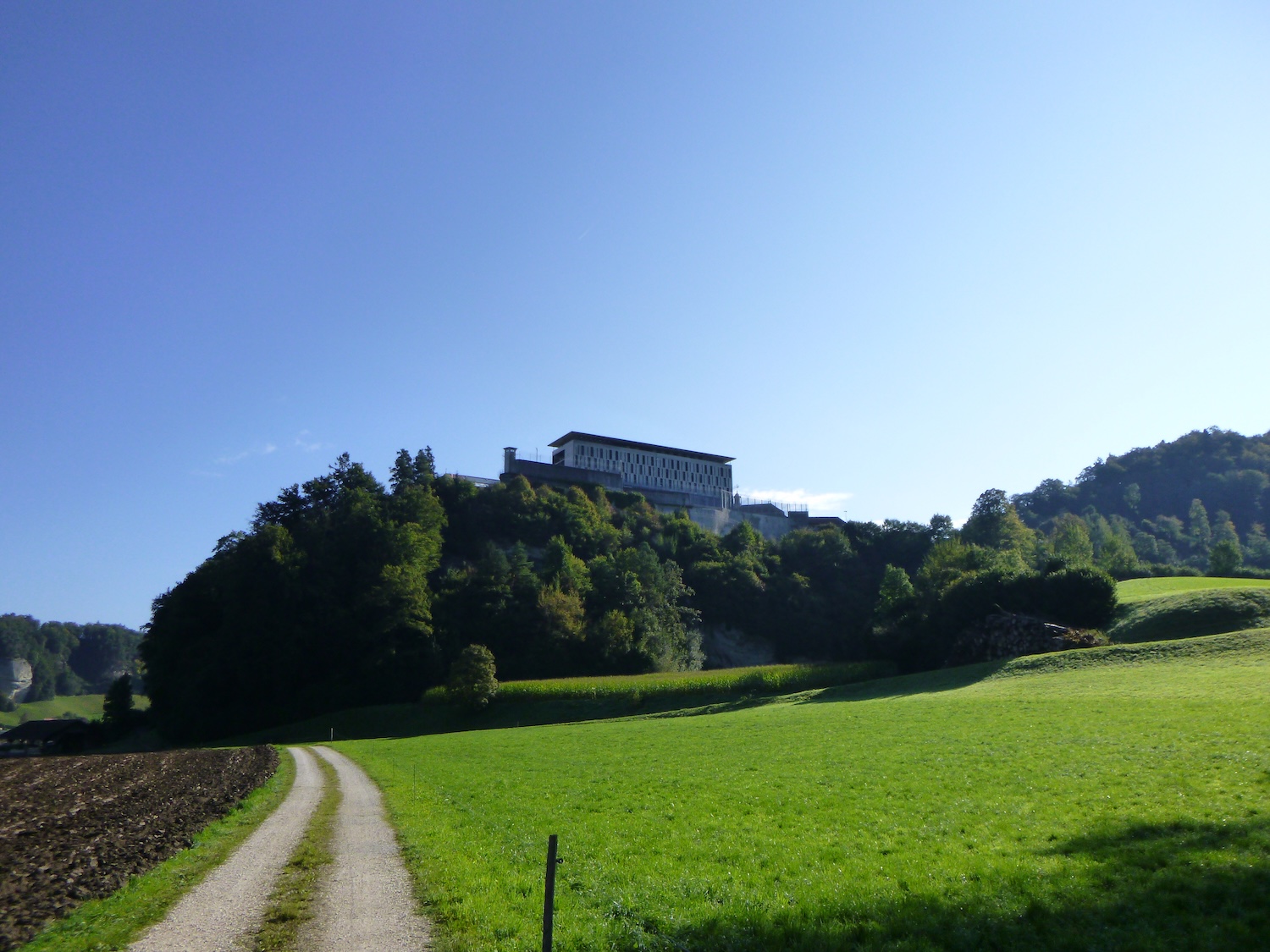
Soon, the Via Jacobi leaves the main road to turn onto a secondary road heading toward the Thorberg penitentiary, an imposing fortress perched atop a hill.
|
 |
 |
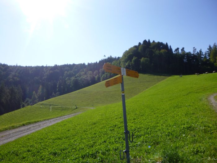
| The road then winds down to a large farm located below the penitentiary, marking an important junction for the next leg of the stage. In the past, by following this route, we took a winding road leading above the penitentiary. But today, perhaps due to distraction or unclear signage, we crossed the farm and continued below the castle, where there is also a yellow directional sign. The signage of SchweizMobil can be confusing at times on the Via Jacobi 4, especially on this section connecting Bern and Luzern, a fact we’ve noted more than once. So, when you reach this junction, if you find Via Jacobi 4, follow it. If not, continue straight along the path below the penitentiary. This route, which we affectionately call the variant, also leads to Boll. This is the route we will take today, a well-marked routeh, outside of the Via Jacobi routes of SchweizMobil. |
 |
 |
 |
 |
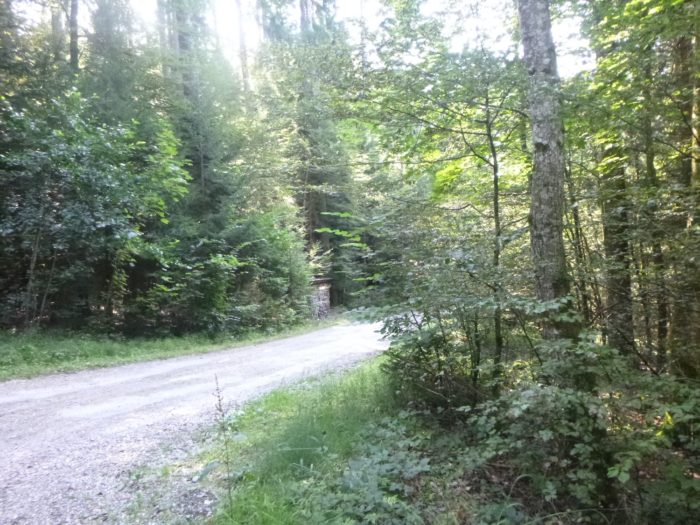
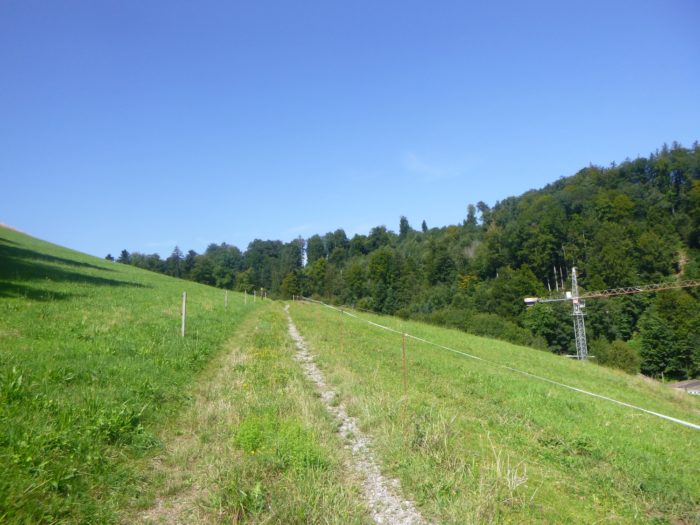
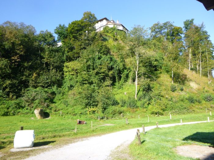
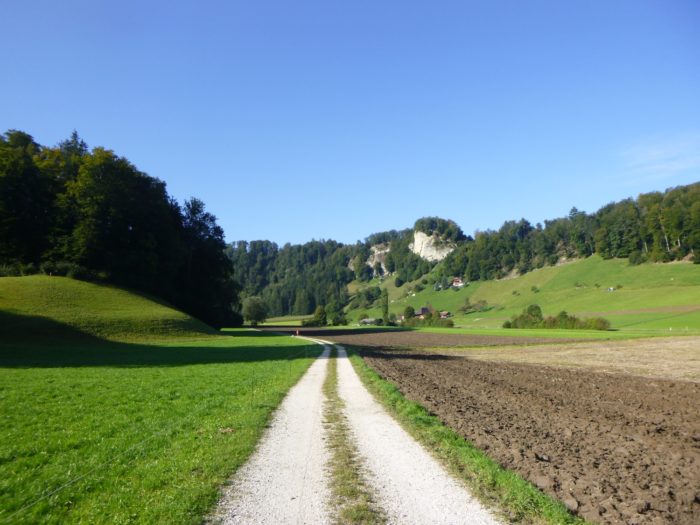
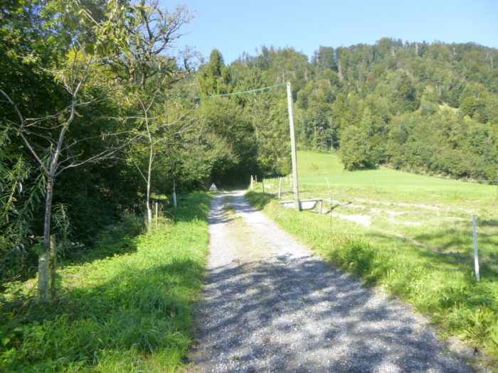
On this alternate track of the Via Jacobi, a wide dirt path winds flatly below the Thorberg penitentiary, circling the hill without difficulty.
|
 |
 |
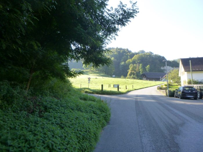
The progress is calm across the plain.
|
 |
 |
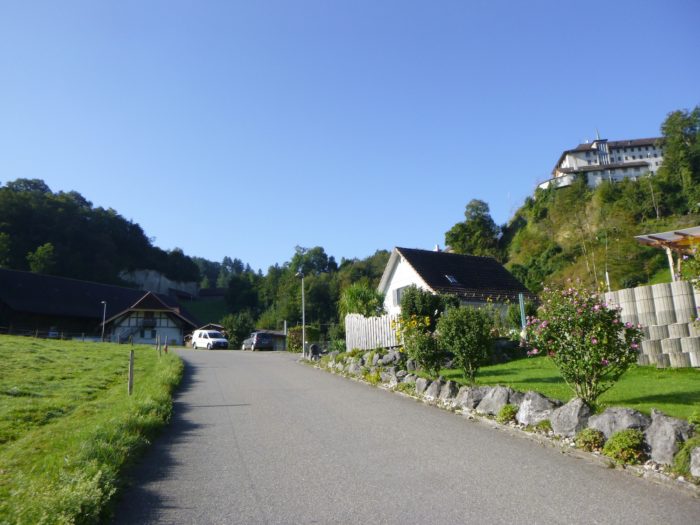
Looking back, you can still see the imposing silhouette of the penitentiary on its promontory. Once, this hill was home to a fortified castle, then a Carthusian monastery. Later transformed into an asylum and hospital, Thorberg has served as the seat of the Bernese penitentiary since 1848.
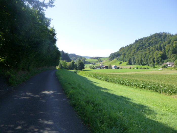
The surrounding plain is intensely cultivated, bordered by numerous farms that obscure the horizon.
|
 |
 |
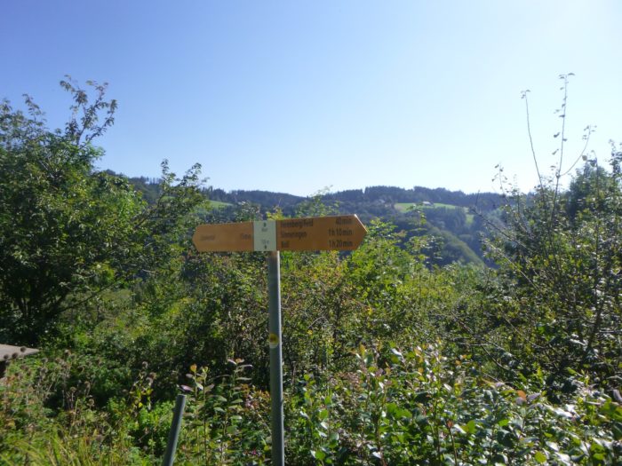
| At the end of this straight stretch, a directional sign clearly indicates the way to Boll, reassuring you with a reminder that it’s still 2 hours and 45 minutes away, in case you missed the previous junction of the Via Jacobi 4. |
 |
 |
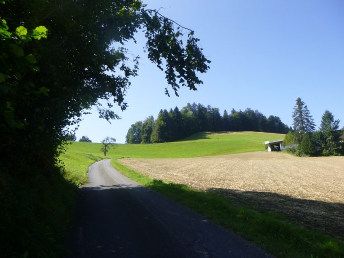
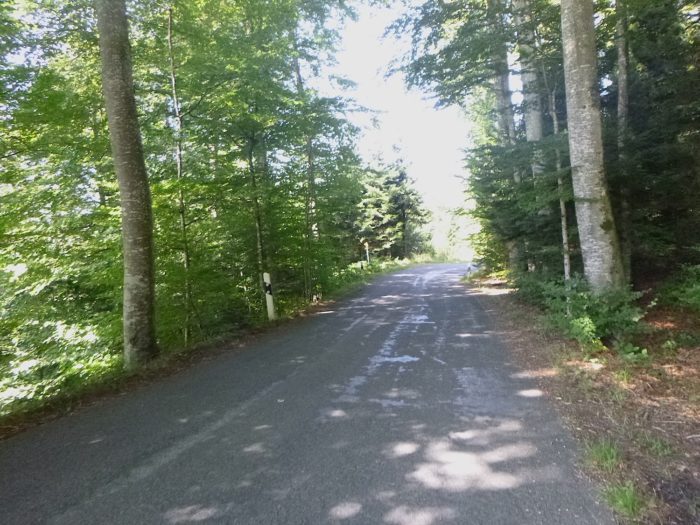
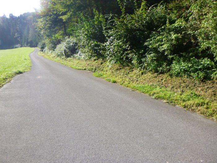
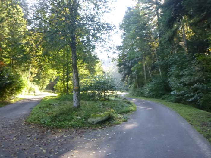
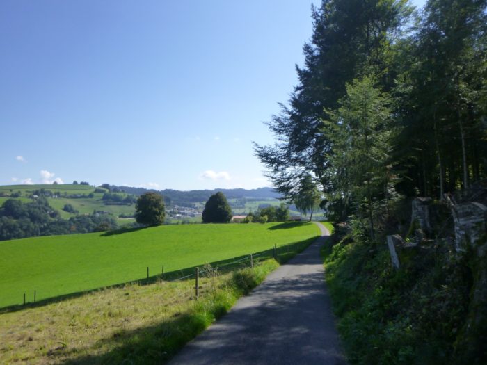
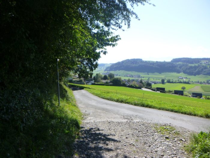
| The route then turns at a right angle, joining a paved country road that gently climbs along the forest’s edge. |
 |
 |
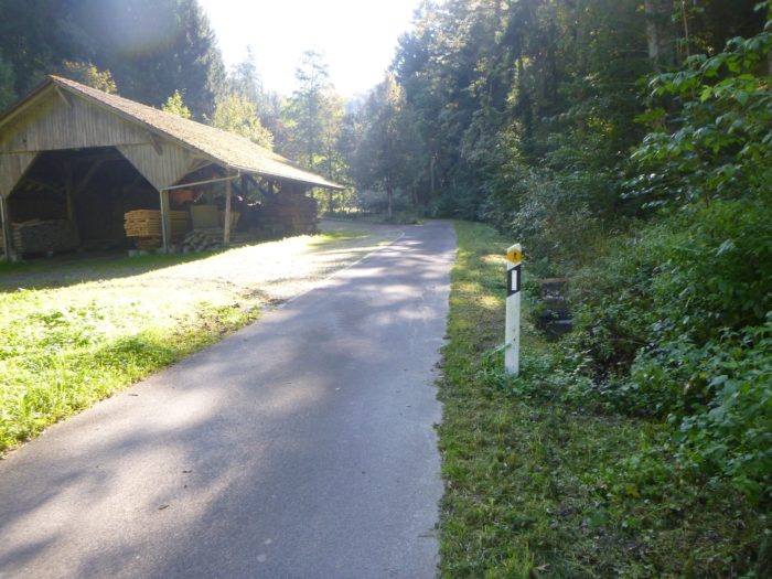
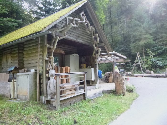
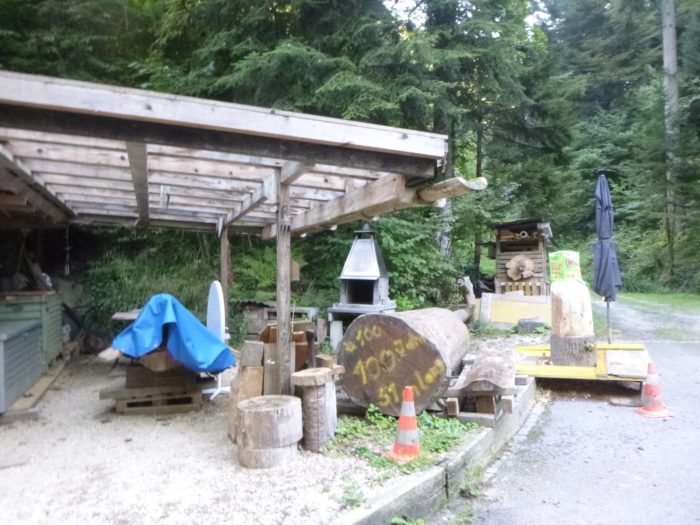
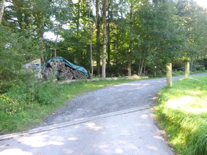
| This section of the road is quiet, free of vehicles, and higher up, it passes near a small sawmill, adding a rustic touch to this peaceful forested landscape. |
 |
 |
| The shade of the tall trees makes the walk pleasant, while a small stream, the Tannebodebach, flows quietly along the road. |
 |
 |
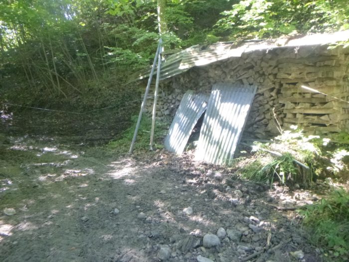
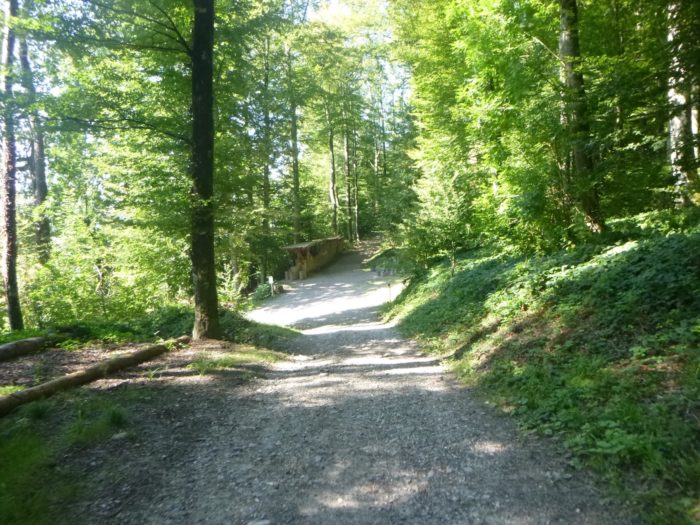
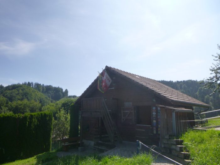
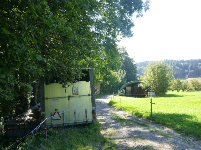
| Further upstream, a small hut appears, likely a local shelter with a barbecue area, a welcome stop for locals. |
 |
 |
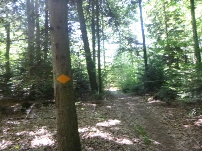
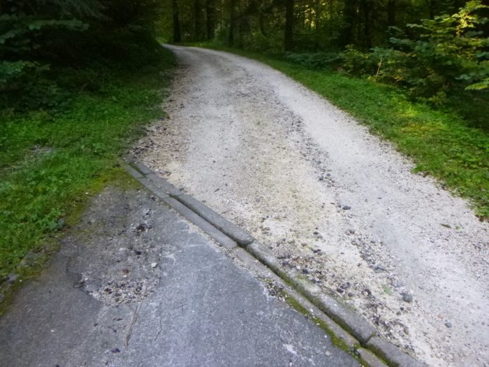
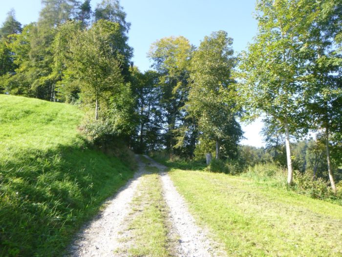
| Shortly after, the asphalt gives way to a wide dirt path, marking the start of a more sustained climb into the majestic Muelerewald forest. |
 |
 |
Section 4: In the Muelerewald Forest

Overview of the route’s challenges: a route often marked by steep inclines.
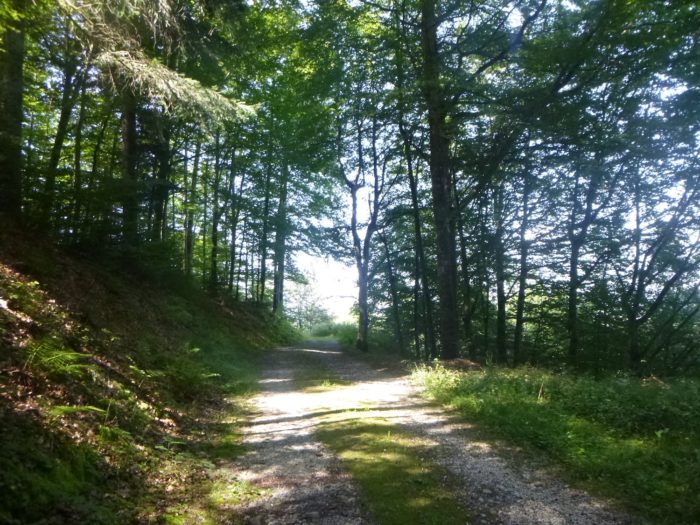
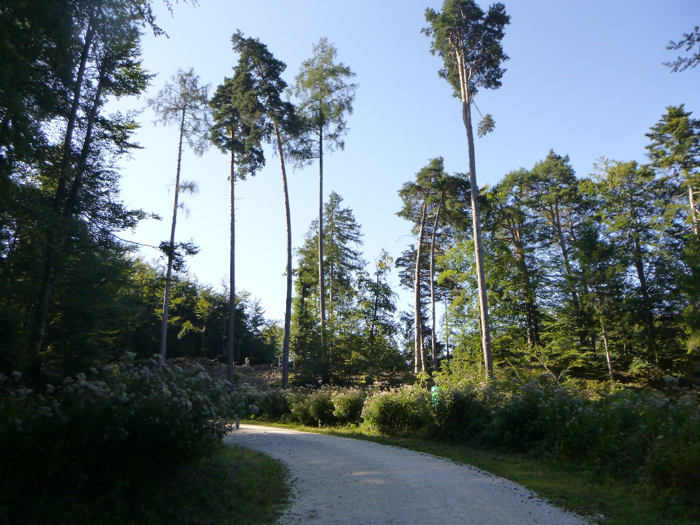
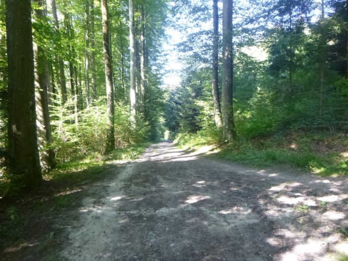
| In this vast forest, where shadows blend with light, majestic trees rise as emblems of ancient nature. Near Berne, towering white firs, true giants of the plant kingdom, stand alongside sturdy spruces, like silent sentinels watching over the passage of time. The elegant and graceful beeches add a touch of refinement to this sylvan scene. The forest keepers, artisans of the landscape, have also introduced Douglas firs, sturdy oaks, and vibrant maples, creating an almost complete palette of broadleaf trees, although chestnuts and ashes seem absent. |
 |
 |
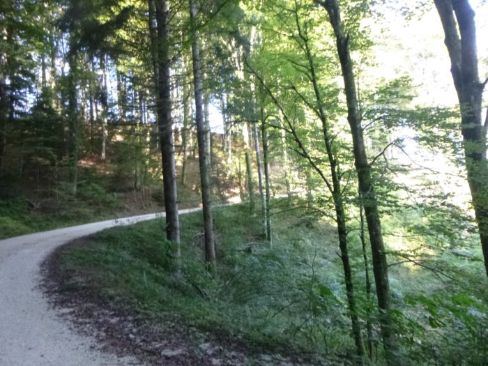
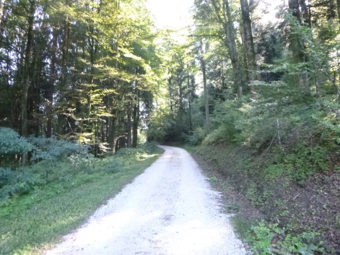
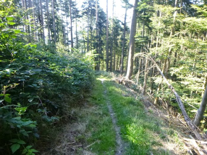
| The steep and persistent slope accompanies the walker along this wide and relatively open path, winding through a fairly airy forest where the tall trees stand side by side without crowding each other. The air is fresh, filled with the resinous scent of conifers and the gentle whisper of leaves. |
 |
 |
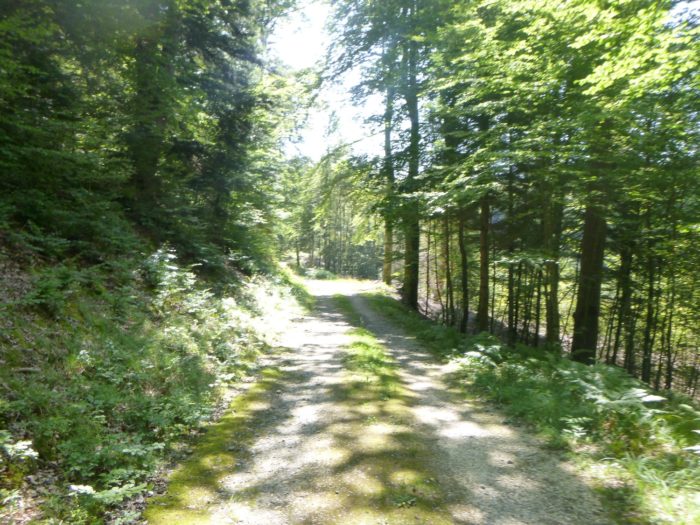
| As the dirt road’s wide bends reveal an opening, proud and slender Douglas firs come into view, along with black pines whose crowns seem to touch the sky in an aerial dance where clouds intertwine. The climb, sometimes softened by short stretches, remains nonetheless arduous, with each step resonating in the forest’s soothing silence. |
 |
 |
| From time to time, the hiker spots marlstone walls at the edge of the path, silent witnesses of the ancient stonecutters from the valley, like remnants of a long-lost craft rooted in this land rich with stories. |
 |
 |
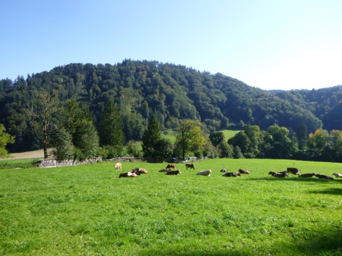
| Soon, the path escapes the wooded shadows to open onto a verdant clearing, where cattle bask under the sun, grazing the lush grass. This place, imbued with serenity, embodies a harmony between man and nature, a rural Eden where life flourishes. |
 |
 |
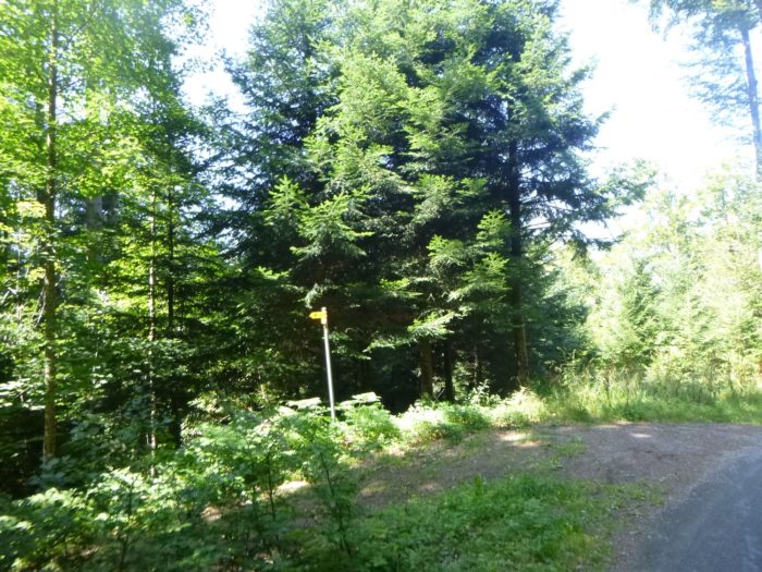
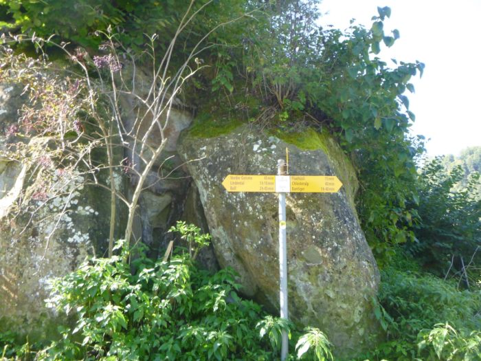
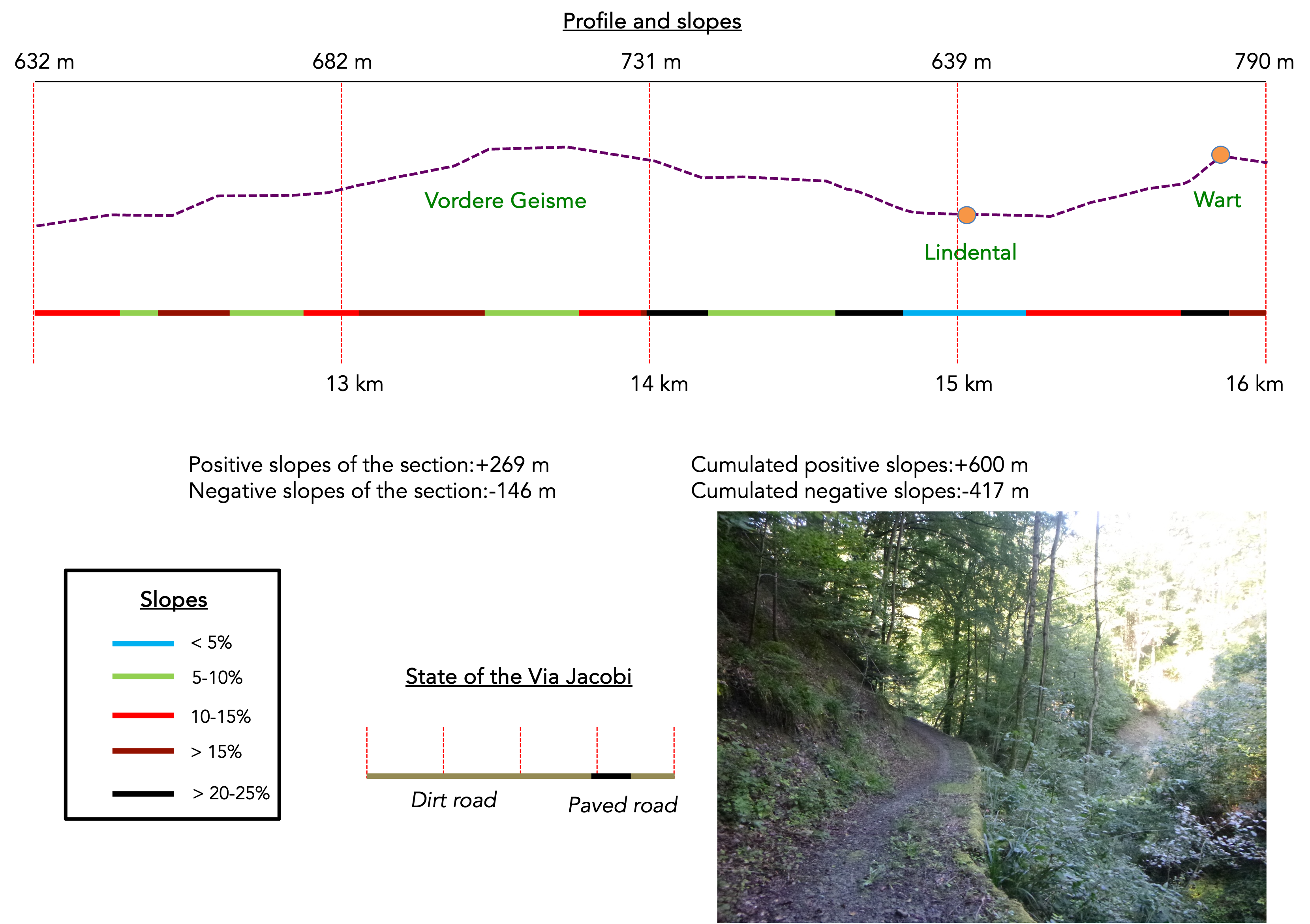
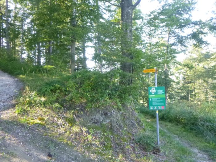
| The area, crisscrossed with hiking trails, invites exploration. You then arrive at the clearing named Vordere Geisme, a starting point for many adventures, while keeping your course always toward Boll. |
 |
 |
| The path continues to climb, still on a slope, toward new horizons, offering a direction that, for now, is not yours, as the path will soon engage in a descent, bringing you back down from the heights of this majestic hill, almost resembling a mountain. |
 |
 |
| A trail then barely follows the ridge, offering fleeting glimpses of the world below… |
 |
 |
| …before embarking on a gentle but determined descent. Here, the beautiful broadleaf trees, full and alive, crowd around you, while the conifers slowly fade away, like a shadow retreating before the light. |
 |
 |
| Then, the descent, often marked by pronounced reliefs, wavers between stretches of packed earth and grassy carpets, blending into a lush vegetation that seems overflowing with vitality. Each step echoes like a soft whisper, every blade of grass dances under the breath of the wind, creating a symphony of sensations in the heart of this enchanted landscape. |
 |
 |
| Here, the mountain reveals its full severity, imposing an austere and majestic landscape. Further down, logs, like modest salvaging crutches, are scattered along the trail, offering support to hikers seeking balance. These rustic elements guide the steps toward a nameless stream, meandering gently from the heights, like a melody whispered by the mountain. |
 |
 |
|
Farther on, the slope becomes more forgiving, and the trail meanders through the woods, revealing itself beneath the dense foliage, offering a soothing walk where nature seems to breathe in time with your steps.
|
 |
 |
|
Soon, a glimpse of the village of Lindental appears below, hidden behind a lush green veil, like a hidden treasure waiting to be discovered.
|
 |
 |
|
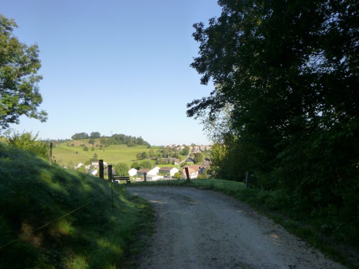
The path widens and leads you past an abandoned farm, a relic of a bygone era. At the bottom, the village seems within reach, an approach that seems easy, but don’t be fooled by appearances: the access is far more difficult than it seems.
|
 |
 |
|
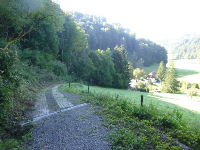
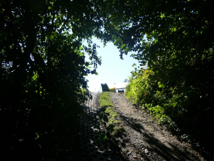
A steep ramp, made of rough concrete slabs, determinedly guides you toward the plain, at the entrance to the peaceful village.
|
 |
 |
|
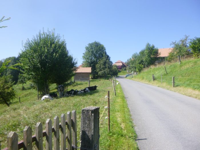
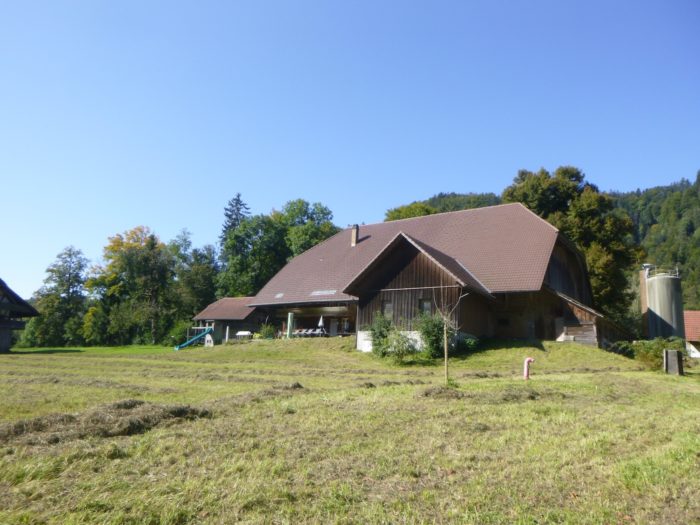
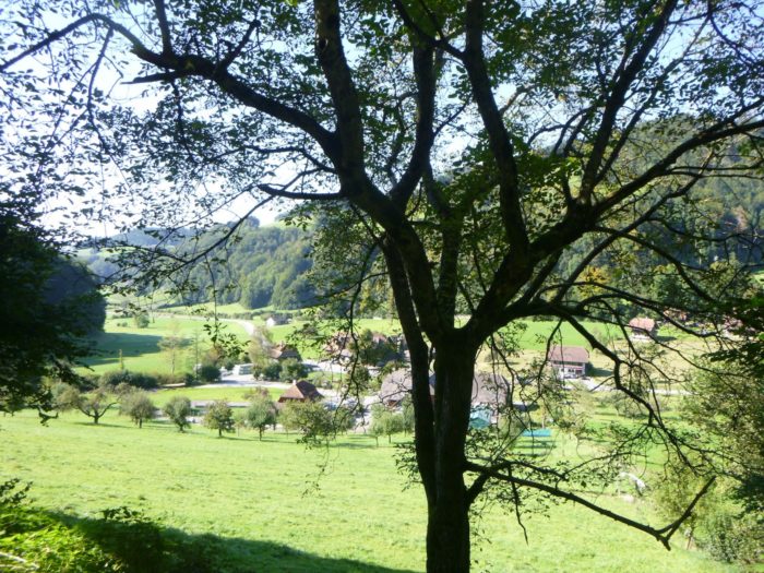
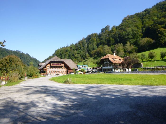
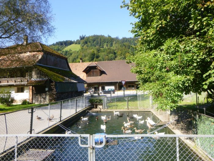
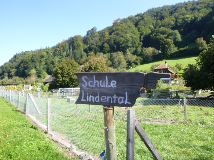
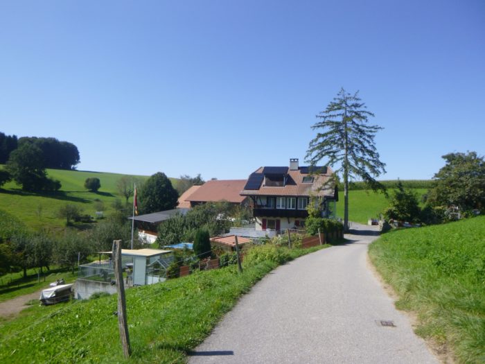
Lindental flourishes like a precious jewel, with its old Bernese houses adorned with flowers, some of which may now only be memories of once-prosperous farms. Nearby, a charming pond welcomes ducks, adding a touch of charm to this pastoral scene.
|
 |
 |
|
Here, the road winds between Krauchthal and Boll, though it’s hard to say if the school, once the heart of the community, still exists in this place.
|
 |
 |
|
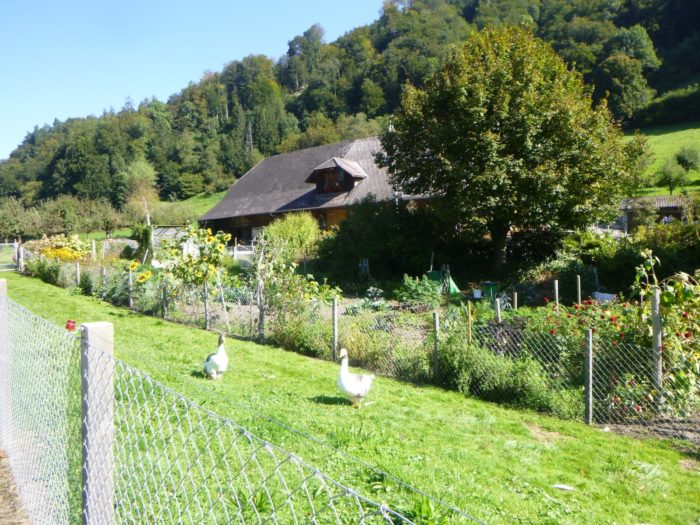
The route gently winds along the road, weaving between stately houses in a region where it seems a real reverence is paid to ducks and geese, these charming birds that animate the gardens.
|
 |
 |
Here, you are an hour and a half from Boll, a walking time that feels like an eternity in this peaceful place.

|
However, amenities are lacking: no grocery store in sight, only a cheesemaker, which is hardly surprising in the canton of Bern, where herds of cows, the region’s emblem, graze peacefully.
|
 |
 |
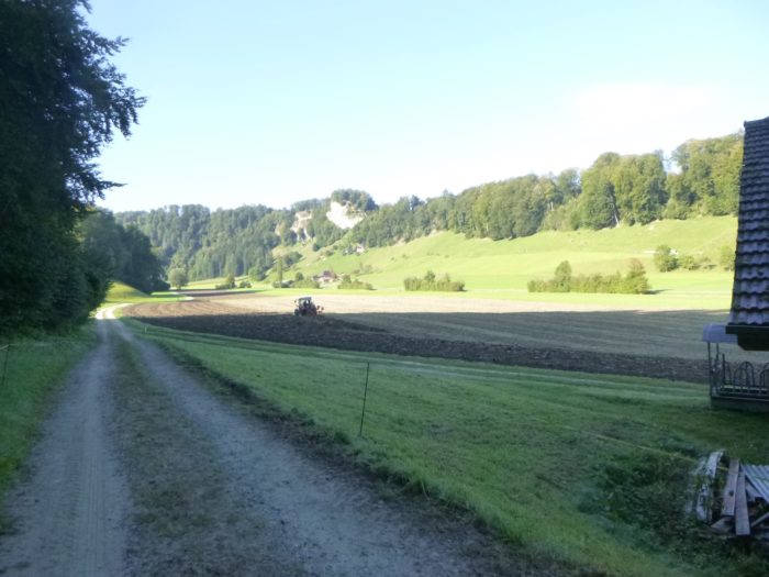
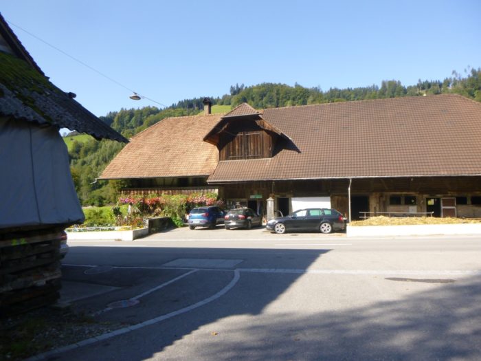
The route continues along the road for a moment before veering onto a small path, passing imposing farms, each more resplendent than the last, bearing witness to a well-recognized agricultural expertise.
|
 |
 |
Shortly thereafter, gravel replaces asphalt, and the path climbs, aspiring toward the forest crowning the hill.
|
 |
 |
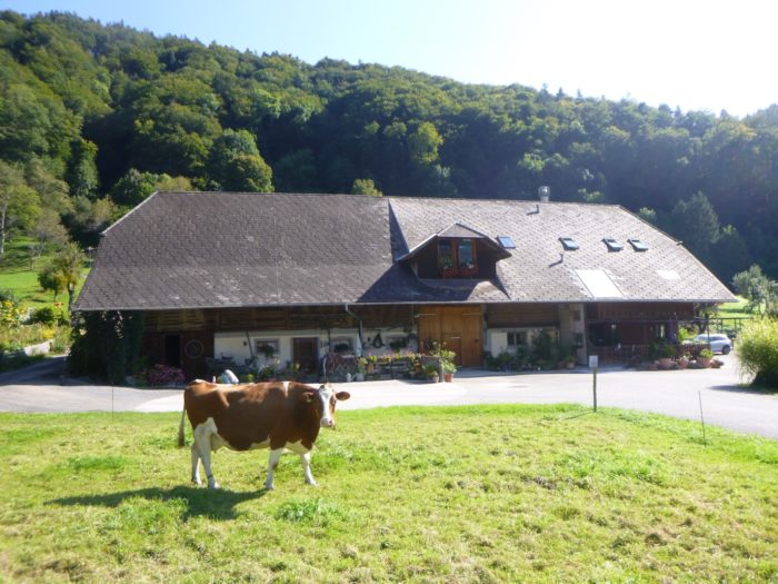
The path crosses the discreet stream of Holebach, where serene and peaceful Simmental cows savor their midday break under a sympathetic sky.
|
 |
 |
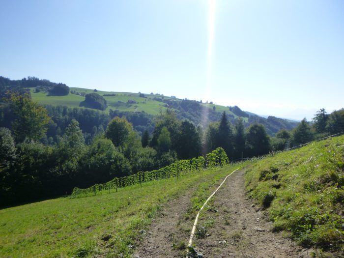
| Then, a memorable challenge presents itself: a wide gravel path launches its assault on the hill, displaying a dizzying slope of over 40%. You’ll need all your concentration to avoid slipping on this treacherous terrain. Fortunately, the demanding climb is not interminable, only a few hundred meters suffice to reach the summit. |
 |
 |
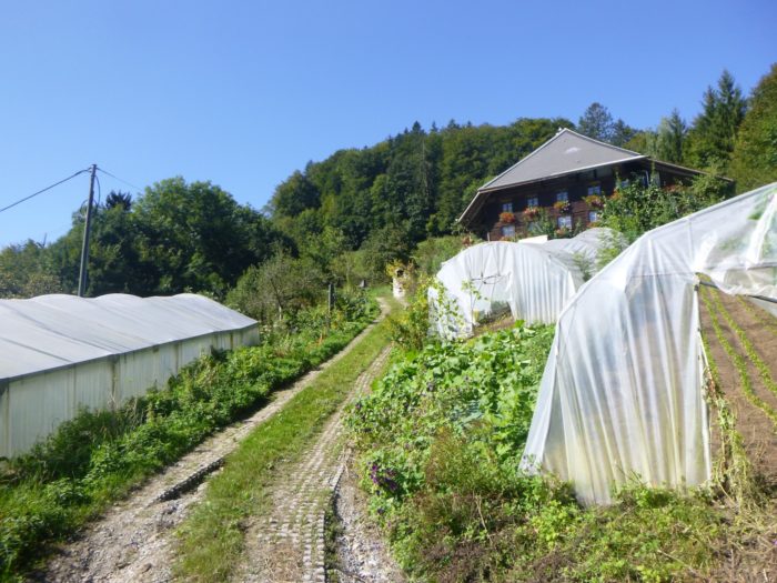
| At the end of the climb, the slope eases slightly, leading you to a farm dedicated to horticulture. The work here must be grueling, given the steep slopes. You are now in Wart, an hour and twenty minutes from Boll. |
 |
 |
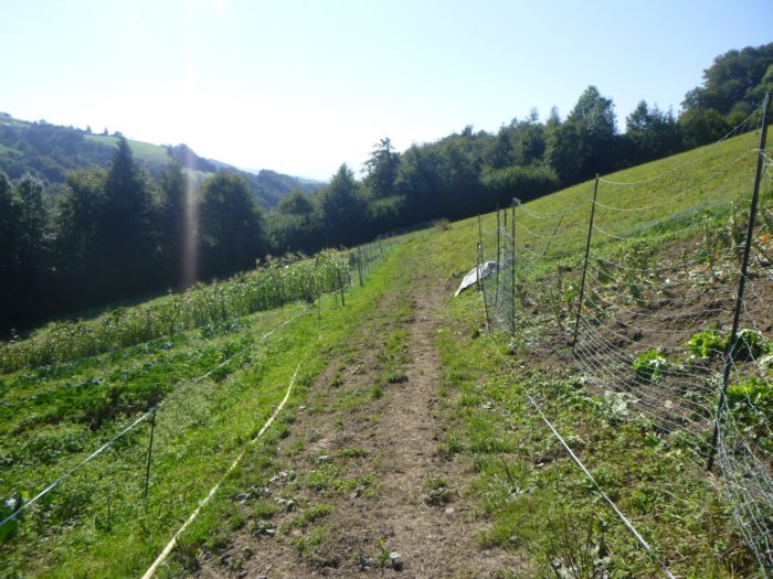
| After hell, here comes purgatory: the path loses itself in the underbrush, deeply marked by large ruts, traces of a clayey soil that, even in dry weather, seems sticky, making every step more difficult. |
 |
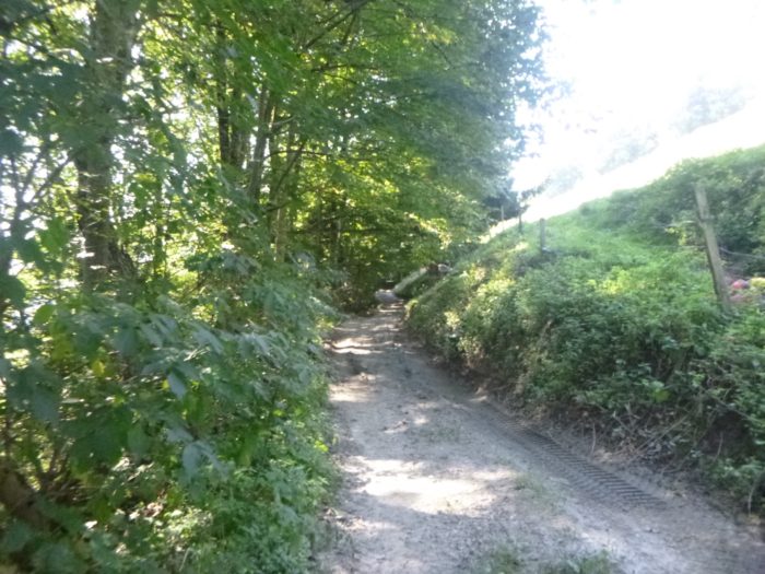 |
Section 5: Into the wilderness before returning to the plains
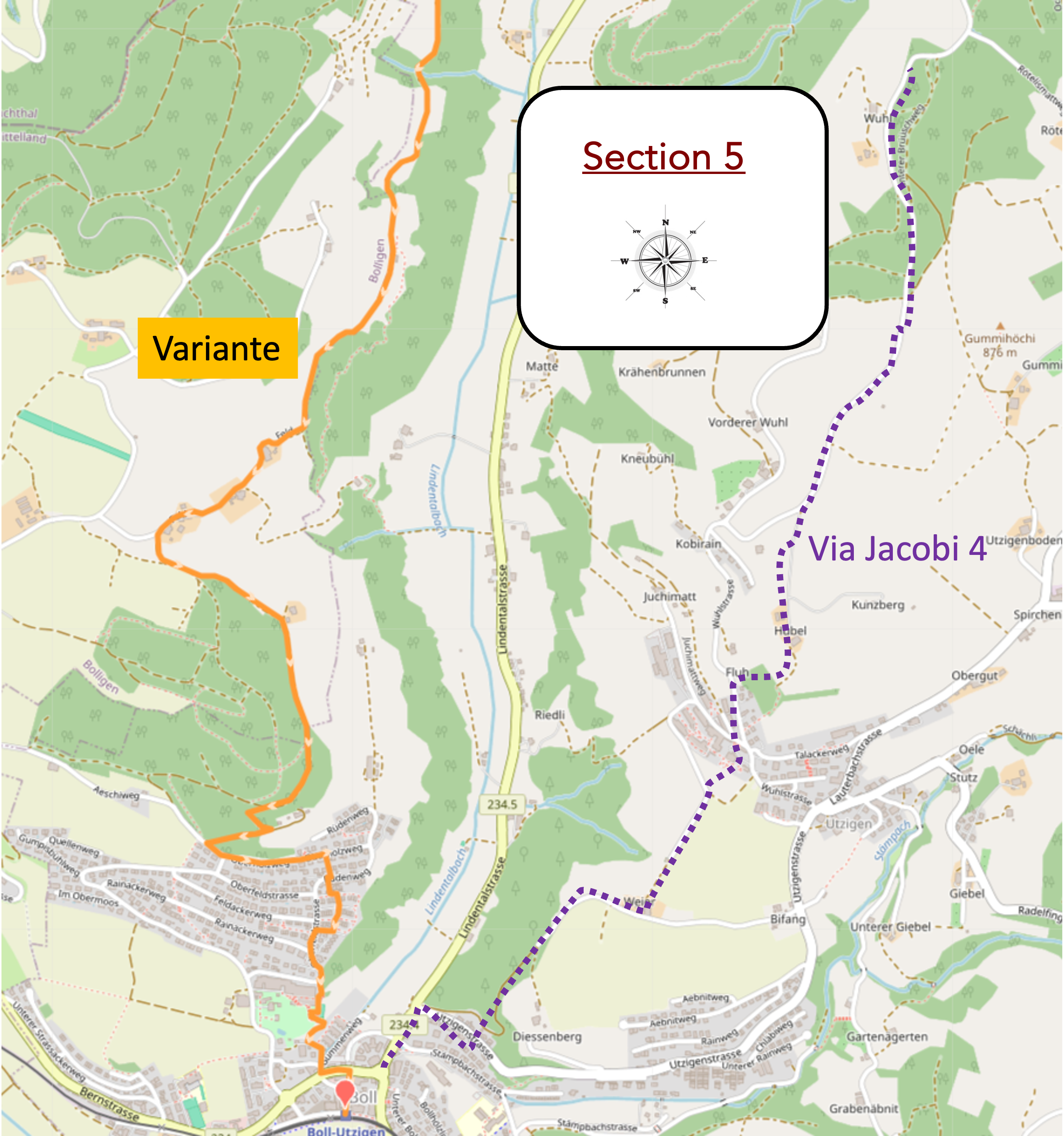
Overview of the route’s challenges: mostly straightforward, followed by a long descent, sometimes steep.
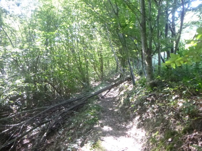
| The path ventures into a dense thicket, almost unpleasant in nature. Surrounded by shoots of beech and maple trees, along with scattered small bushes, it stretches across nearly muddy ground, where tractor ruts dig deep scars into the earth. The only advantage of this passage is that the path remains flat, offering a brief respite from strenuous effort. |
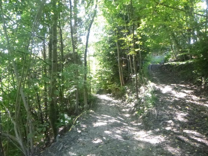 |
 |
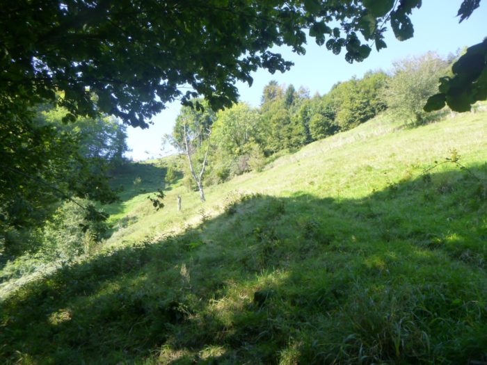
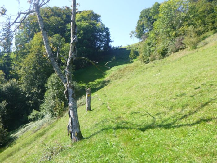
| Upon exiting this suffocating thicket, the view opens up to reveal an extreme slope where even vegetables struggle to thrive, highlighting the challenges of cultivating in such an environment. |
 |
 |
| However, the open air is short-lived, as a trail quickly returns to the chaotic undergrowth, where the scraggly growths of stunted deciduous trees, desperate for light, create a desolate atmosphere. |
 |
 |
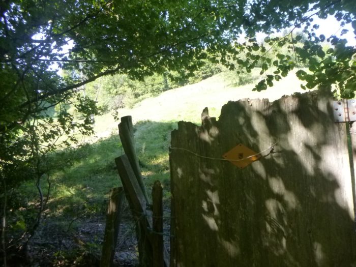
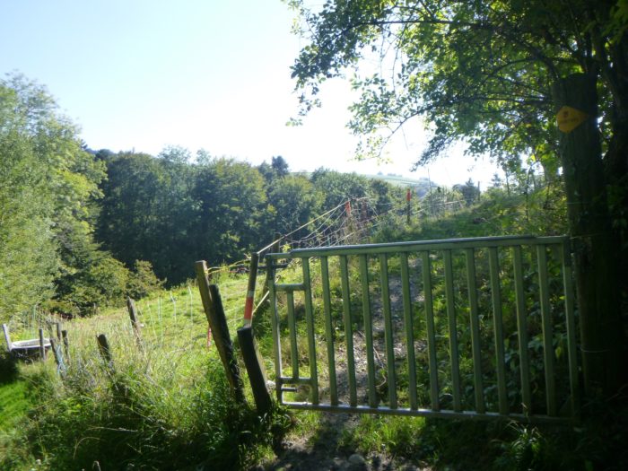
| Further along, as the passage through the underbrush becomes more tangled, a gate stands in your way, requiring you to unlock it to continue. The trail then climbs gently through the meadows, emerging from the wooded maze. |
 |
 |
| Here again, the trail doesn’t linger long before encountering another discreet stream cascading down the mountain, winding through an unforgiving landscape. |
 |
 |
| Next comes the series of gates to open and close, as the hillside hosts livestock, often sheep, grazing on the sloped terrain. The trail becomes gentler, more enjoyable, while the surrounding nature adopts a more pastoral ambiance, a pleasant contrast to the previous thicket. |
 |
 |
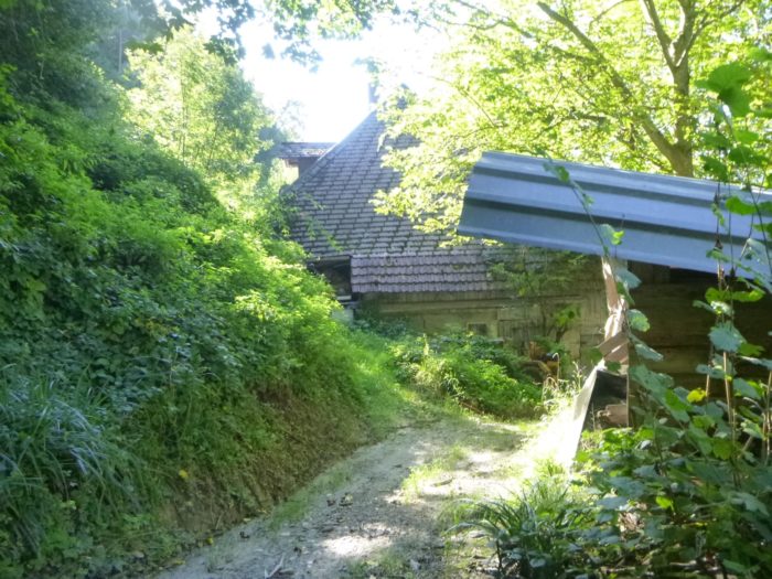
| Soon after, the trail leads past an apparently abandoned farm, an unusual sight in Switzerland, frozen in time, evoking echoes of a past life. |
 |
 |
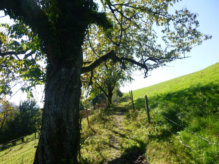
| Shortly thereafter, a wider path slopes up slightly along the forest’s edge, with the same routine of gates to open and close. Above, the soft tinkling of cowbells rings out, a familiar melody of the alpine pastures. The farmers, mindful of their environment, have planted majestic ash trees, which stand proudly alongside the towering deciduous trees of the forest. |
 |
 |
| From the top of the hill, a wide path descends toward the forest edge, sloping at about 15%, like a natural slide inviting you down. |
 |
 |
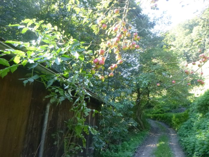
| Soon after, the path leaves the forest’s shadows to rejoin the sunny meadows, where fruit trees thrive and the first farms of Feld come into view. |
 |
 |
| The path skirts a farm before turning into a paved road, crossing the scattered hamlet. |
 |
 |
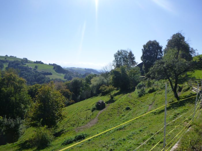
Here, nature flourishes once again, singing gracefully in a typically Swiss tableau, where hamlets and farms nestle on radiant green hills.
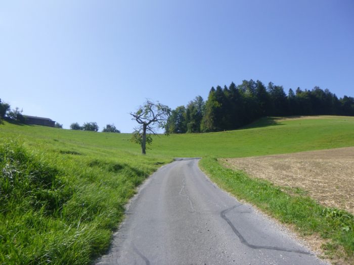
| The slope gradually eases as you descend into this sparsely populated region, where farms and stately homes are rare, like precious pearls strung on a necklace. |
 |
 |
| A dirt and grass path emerges from the hamlet, soon joining a small country road bordered by golden cornfields swaying in the breeze. |
 |
 |
| The slope becomes gentle, stretching beneath the protective shade of towering deciduous trees and Douglas firs, creating a soothing, peaceful atmosphere. |
 |
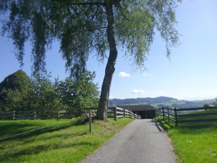 |
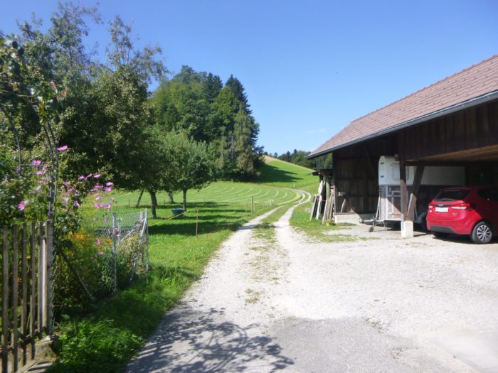
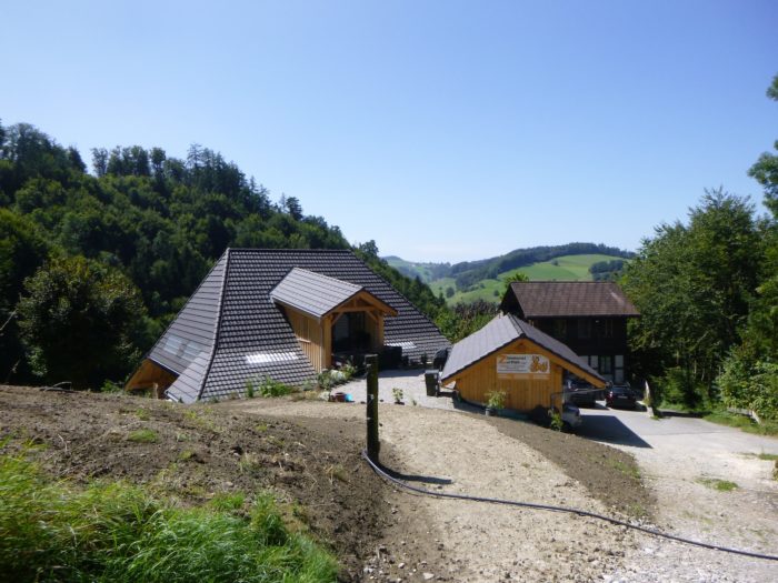
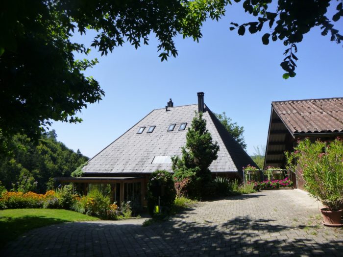
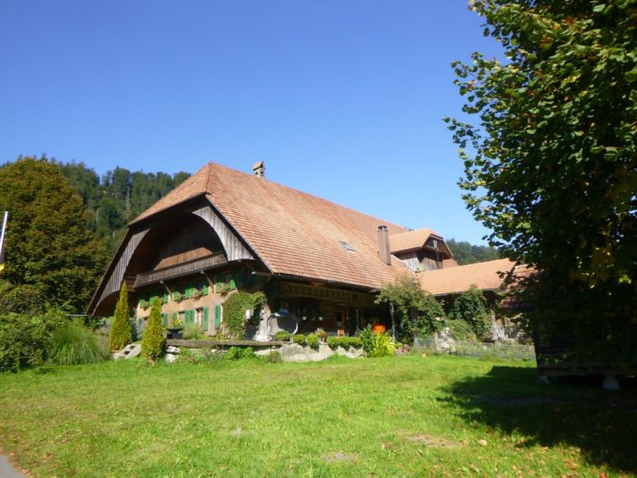
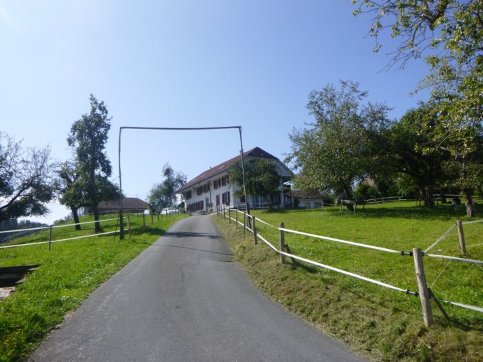
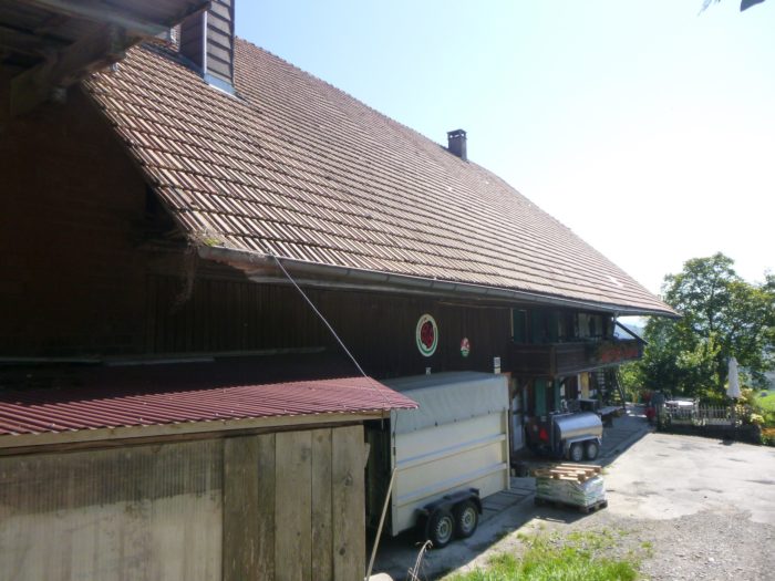
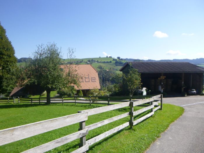
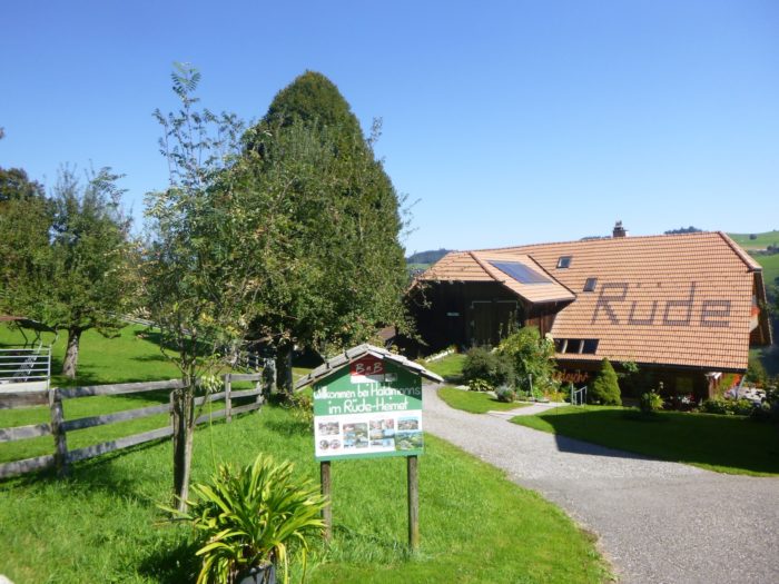
| Finally, the road leads to a grand and beautiful farm, which also serves as a guesthouse. One can’t help but imagine the joy of settling here
Since accommodation is rather chaotic in Boll, if you take this variant, a good idea would be to spend the night at the B&B Rüde-Heimet (Tel: 041 31 389 49 53). |
 |
 |
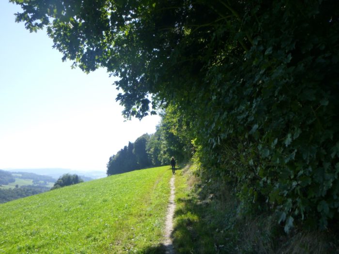
| From the farm, a trail extends flat along the forest’s edge, meandering softly for several hundred meters, like an invitation to explore the mysteries of nature. |
 |
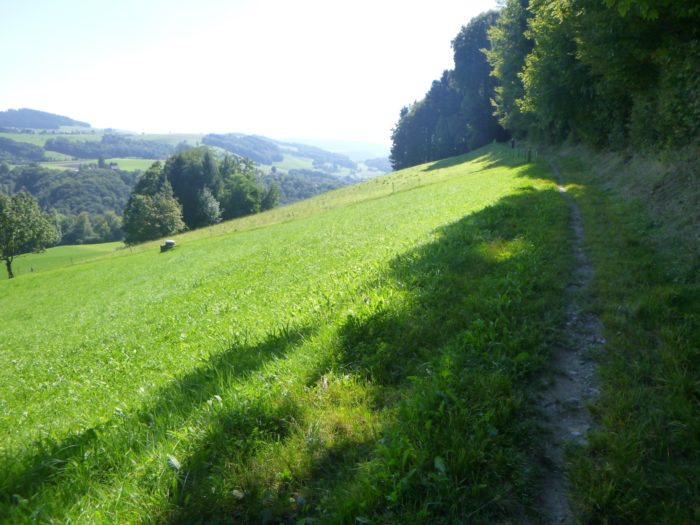 |
| At the entrance to the woods, the trail widens on hard-packed earth, and the descent toward the plains begins with a comforting ease, shielded by the ever-majestic trees that seem to watch over the hiker. |
 |
 |
| As you descend, the slope increases, and the path becomes rockier, each step echoing on the ground like a reminder of days gone by. |
 |
 |
| Lower down, the route leaves the forest behind for the day, marking the end of this woodland chapter. |
 |
 |
| Soon, the dirt gives way to gleaming asphalt on the heights of Boll, signaling a transition into a new environment. |
 |
 |
| Here, the route begins to dance among the villas that dot the hill, moving from one level to another, like a delicate balancing act. A narrow path then descends through the grass, winding past the villas, eventually reaching a lower crossroad. |
 |
 |
There, it doesn’t linger and quickly resumes its playful course, descending yet another level with an agility that seems to delight in the task.
|
 |
 |
| The route seems to take great pleasure in this exercise, indulging one last time in its game of leapfrog. This allows it to swiftly lose altitude, bringing it closer to the welcoming plain. |
 |
 |
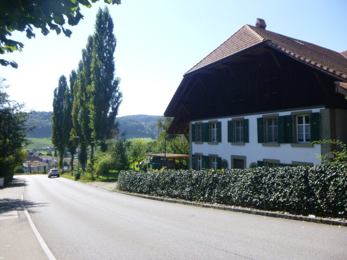
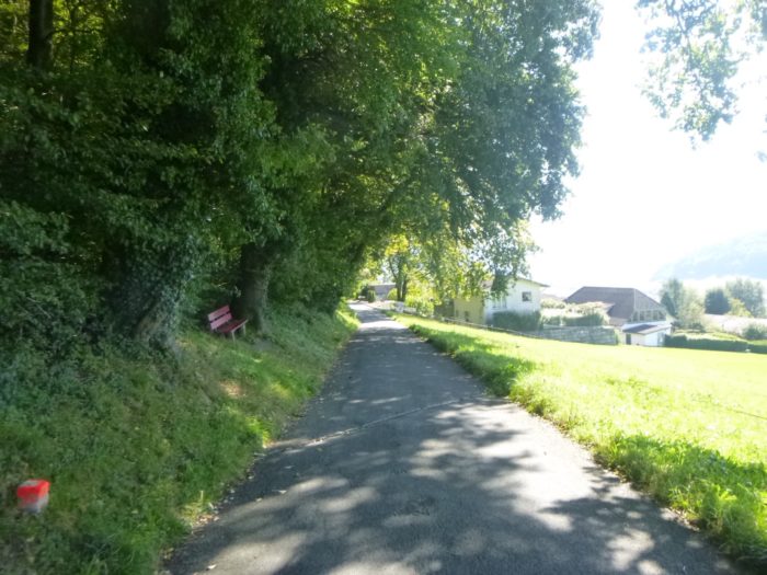
| After this joyful contortion, the route calms down, following a main road that plunges toward the small town. |
 |
 |
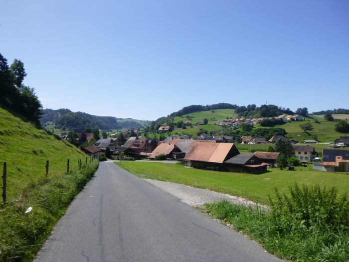
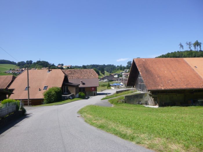
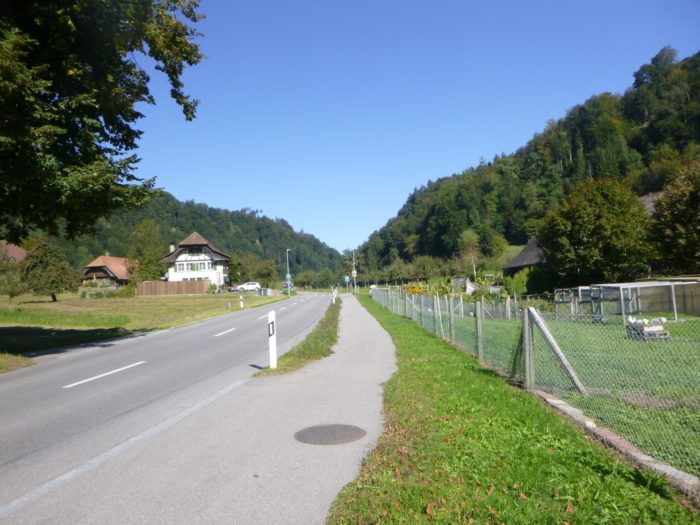
| Once a village of artisans and farmers, Boll has transformed over time. The construction of the road and the establishment of the train station at the beginning of the 20th century dramatically altered its landscape. In the past century, a flourishing real estate market emerged, especially along the road to Bern, and from 1970 onwards, on the hillsides and in the neighboring hamlet of Sinnringen. Today, the population is around 2,000, with a mix of service businesses and small industries. It’s not a vacation destination, and most working residents commute daily to Bern. Fortunately, a train passes through the Krauchthal valley, bringing a touch of vitality to this rather secluded area and offering a glimmer of hope to hikers wanting to reach the capital more quickly. |
 |
 |
Accommodation on Via Jacobi
- B&B Kilchenmann ; Schwendi 304; Krauchtal; 034 411 12 94; Guestroom, breakfast
- Zivilschutzanlage Vechigen, Stämpbachstrasse 4, Boll; 031 838 00 80; Gîte
- B&B Kopp, Utziigenstrasse, Boll; 031 839 41 76/076 582 83 33; Guestroom, breakfast
- Gasthof Alpenblick, Ferenberg 493, Stettlen; 031931 40 07; Hotel, dinner, breakfast
In these regions, the quest for shelter proves to be challenging. One option arises: take the train to Stettlen, 2 kilometers away, where a modest hotel stands. However, many pilgrims, driven by the urgency of their journey, cast only a fleeting shadow over Boll, preferring to hasten towards Bern, though that makes it a stage of more than 30 kilometers. A restaurant and a grocery store dot the route in Krauchtal. The imperative is clear: book accommodation at all costs.
Feel free to add comments. This is often how you move up the Google hierarchy, and how more pilgrims will have access to the site.
|
 |
Next stage : Stage 14: From Boll to Bern |
|
 |
Back to menu |