Along the Beautiful Banks of the Birs River
DIDIER HEUMANN, ANDREAS PAPASAVVAS
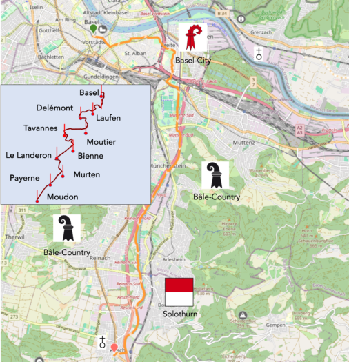
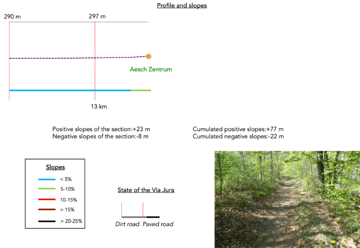
We divided the course into several sections to make it easier to see. For each section, the maps show the course, the slopes found on the course, and the state of the route (paved or dirt roads). The courses were drawn on the « Wikilocs » platform. Today, it is no longer necessary to walk around with detailed maps in your pocket or bag. If you have a mobile phone or tablet, you can easily follow routes live.
For this stage, here is the link:
https://fr.wikiloc.com/itineraires-randonnee/de-grossbasel-a-aesch-par-la-via-jura-80-174889263
| It’s clear that not all travelers are comfortable using GPS and navigating via smartphone, and there are still many areas without an internet connection. As a result, you find a book on Amazon that covers this journey.
If you only want to consult lodging of the stage, go directly to the bottom of the page. |
|
Some pilgrims coming from Germany and Eastern countries arrive in Basel instead of Bodensee. Here, they find themselves at a strategic crossroads to join Le Puy-en-Velay, offering a decisive choice. A little-traveled trail meanders towards Cluny and Burgundy, rich in mysteries and stories buried in the mists of the past. This track, detailed elsewhere on our site under the section « Paths from Switzerland to Le Puy-en-Velay, » reveals its first stage from Basel to Ferrette. Another route, the Via Jura, awaits travelers eager for adventure and discovery. It later joins the Via Jacobi 4 in Moudon before descending towards Lausanne. This route, frequented by many hikers and pilgrims from northern Switzerland, weaves a spiritual connection towards Le Puy-en-Velay.
Today, your journey heads south, crossing the canton of Basel, which has been divided in two since 1833 due to continuous conflicts between the city and the countryside. The route also grazes the canton of Solothurn, a geographically complex territory, like a multi-legged creature encroaching on neighboring cantons. Here, nothing is simple. The age-old disputes between Protestants and Catholics have left indelible traces, creating a mosaic of enclaves that only the most knowledgeable Swiss can decipher. However, most of your journey takes place in the canton of Basel-Country (Baselland), where landscapes and stories blend and unfold before our eyes, like an old book whose pages turn slowly.

Today, your journey first takes you through the southeastern districts of Basel, where the city stretches from the train station towards the bypass highways, before greeting St. Jakob Park, the epicenter of local sports celebrations. You won’t linger too long in the bustling arteries of the city but will take more peaceful routes, fleeing the urban excitement to join the bucolic banks of the Birs River. From there, the route leaves the city proper, meandering for kilometers along the banks of the Birs, a river that mostly flows under small deciduous trees, forming a green canopy on both sides of the river. The freshness reigns under the foliage. As soon as you leave the city’s tumult, the river welcomes you with its shaded banks, lined with small deciduous trees that weave a green archway over the water. The refreshing embrace of this vegetative cover envelops walkers, offering them a serene respite far from the urban clamor. Here, humans are rare, almost ghostly, blending into the natural tableau, allowing for an almost absolute tranquility. The route carefully avoids towns, snuggling close to the water. But the concrete monsters are indeed there, all around, eager to engulf the river too. For Greater Basel, which stretches along the river, extends all the way to Aesch, where the noisy highway reaches its end. Some pilgrims will continue on to Laufen, but that makes it a stage of over 30 kilometers.
.
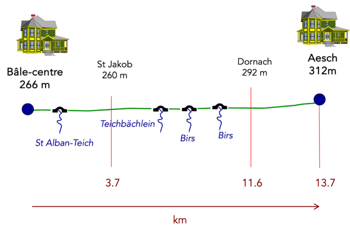
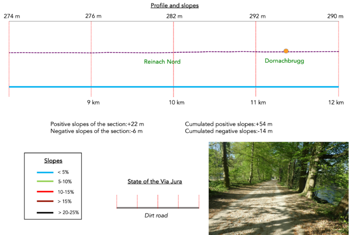
Difficulty level : The journey is divided between city, forests, and countryside, with relatively significant, but very light elevation changes (+77 meters/-22 meters).
State of the Via Jura : This is a blessed stage for hikers, with a route mostly on paths:
- Paved roads: 2.0 km
- Dirt roads : 11.7 km
Sometimes, for reasons of logistics or housing possibilities, these stages mix routes operated on different days, having passed several times on these routes. From then on, the skies, the rain, or the seasons can vary. But, generally this is not the case, and in fact this does not change the description of the course.
It is very difficult to specify with certainty the incline of the slopes, whatever the system you use.
For those seeking « true elevations » and enthusiasts of genuine altimetric challenges, carefully review the information on mileage at the beginning of the guide.

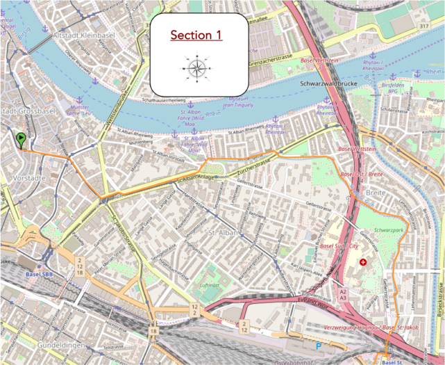
Section 1: Through the city, then into the parks along the stream
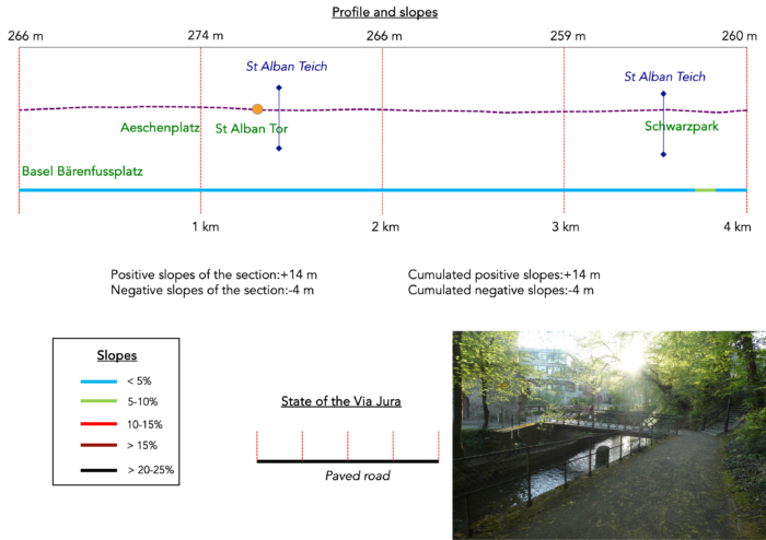
Overview of the route’s challenges : a route without any difficulty.
|
You can begin this charming adventure either from Basel’s train station or from the vibrant heart of the city, Barfüsserplatz. If you choose to start at the station, take Aeschengraben until you reach Aeschenplatz, the city’s central hub. Those discovering Basel for the first time are often amazed by this unique city: traffic lights are rare, and pedestrian crossings even rarer. Only the tram tracks seem to outline the way. Pedestrians and cyclists cross nonchalantly, with a disconcerting ease. Cars, when they dare to venture in, timidly weave through, while trams, imperial and resounding with their bells, command the streets. It is striking to see how, in this city of nearly 500,000 souls, everyone coexists without apparent friction. From Barfüsserplatz, follow the grand boulevard of Steinenberg. On your right, near a large parking area, stands St. Elisabeth Church, a sacred building from a relatively recent era, built in the 19th century and carefully restored in recent years. The road then curves to the left, opening onto Aeschenvorstadt Boulevard. |
|
 |
 |
| At the end of this boulevard, the large intersection of Aeschenplatz welcomes you. If you started from the train station, you will arrive here as well. This square is certainly not the most beautiful in Basel, far from it. It is actually a gigantic crossroads where the city’s main avenues converge. While it plays an important role in urban traffic, it sorely lacks charm. The surrounding buildings, modern and functional, do not possess the historical charm found in other parts of Basel. Motorists, cyclists, and pedestrians cross streets in a sort of chaotic ballet, emphasized by the constant noise of horns and engines. Despite its lack of aesthetic appeal, this square plays a crucial role in the city’s organization, effectively linking different parts of Basel. | |
 |
 |
At Aeschenplatz, stands one of the two central offices of the illustrious UBS bank. Who would believe that this iconic bank only caters to artisans? Certainly not!

| Here, near the tram stops, you’ll take St. Alban-Anlage. | |
 |
 |
| At this point in your journey, consider that you’ve left the hustle and bustle of the city center. The major avenues fade behind you, replaced by a network of small roads or paths leading you out of the city. You pass through a sort of park nestled in the middle of the avenue. The first yellow directional signs appear, these bright markers of Swiss hiking trails, faithfully guiding you along your route. | |
 |
 |
| The route winds gracefully towards St. Alban Tor, an imposing remnant of the city’s medieval fortifications, majestically erected in the year 1400. Passing through this historic gate, visitors can still glimpse the wooden stakes once used to lock the city’s entrance and protect its inhabitants from past assaults. The atmosphere is steeped in a solemnity that evokes a time when every stone told a story of strength and resilience. | |
 |
 |
| Descending gracefully towards the banks of St. Alban-Teich, the route crosses the canal, offering a picturesque passage to the right bank. The gentle murmur of the water mingles with the air, while the majestic Rhine feels almost within reach on the horizon. Here, on the peaceful outskirts of the city, the direction to Aesch is clearly indicated by the luminous signs of the Via Jura 80. Before the Great War of 1914-1918, watermills ruled the land, transforming golden wheat, sturdy rye, and nourishing oats. These symbols of independent energy vanished throughout Europe in the 1950s, leaving a melancholic void in the cultural landscape. | |
 |
 |
St Alban emerges as one of the most enchanting districts of the city, where romance intertwines with palpable mystery. Nicknamed the « Little Venice of Basel, » this old quarter retains the vibrant soul of its aquatic past. The canals, painstakingly dug by devoted monks, once transported the water needed by artisans, especially those crafting precious paper. The modest houses of this Basel corner, carefully restored in the 1990s thanks to visionary patrons, evoke the discreet opulence of the Florentine Renaissance, capturing the essence of a bygone era when art and prosperity reigned supreme. Alas, time escapes us to leisurely wander through these narrow streets, where every stone breathes history. With thirty kilometers of walking ahead of you, the destination calls insistently. .
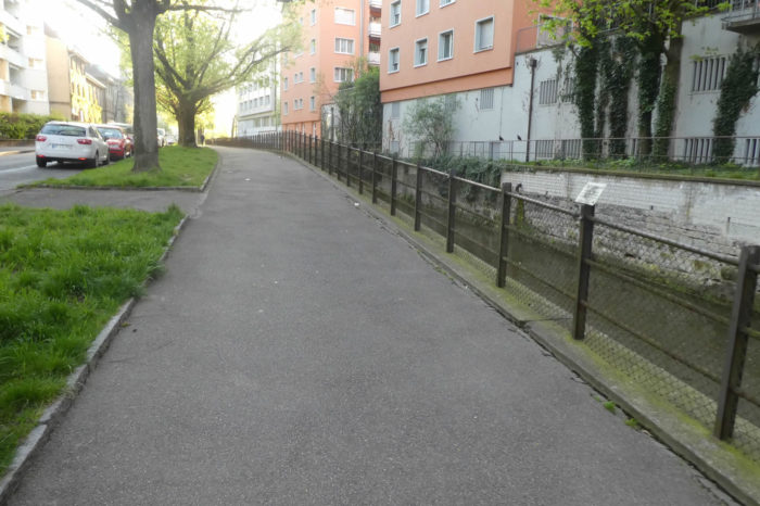
| A shaded sidewalk now follows the canal closely, guiding your way through this less mysterious and less captivating part of St Alban. | |
 |
 |
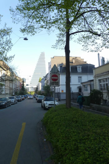
| At the end of the picturesque neighborhood, by the modern Catholic Church of Don Bosco, the sidewalk temporarily veers away from the canal to cross Waldenburgerstrasse. Here, it is impossible to overlook the view across the Rhine, where the Roche Tower, also known as Building 1, stands tall. At 178 meters and 41 stories, it reigns as the tallest skyscraper in Switzerland, housing administrative offices for Roche’s 2,000 employees, along with conference rooms and cafeterias. Designed by renowned Basel architects Jacques Herzog and Pierre de Meuron, this iconic building was completed in 2015. Founded in 1978, their firm, now with more than 400 employees worldwide, has made its mark with projects like the Tate Modern in London and numerous museums and buildings around the globe. In Basel, where money is never scarce in the pharmaceutical industry, Building 1 was erected for a modest 500 million Swiss francs, while Building 2, rising over 205 meters, illustrates a constant ambition for elevation and excellence. | |
 |
 |
| Returning to the sidewalk near the canal, you enter a district clearly rich in schools, as evidenced by the morning flow of schoolchildren. | |
 |
 |
| Other users of the path include, of course, dog owners taking their companions out for their first walk of the day. The route then leads you near the A3 highway, the main artery that cuts through eastern Basel towards Germany and France. | |
 |
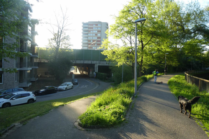 |
| The Via Jura then crosses the highway by passing under two distinct ways: one for the canal and another for pedestrians. Upon exiting, it emerges into Schwarzpark. | |
 |
 |
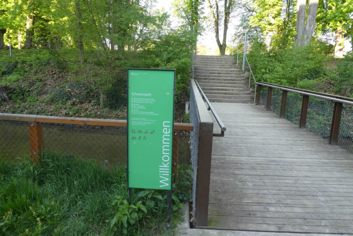
| It follows the canal throughout the park, dotted with small bridges providing access to various areas. The rules here are strict: no dogs, no bikes, no cleats, no barbecues—a true ascetic retreat. Although parks are not abundant in the city center, the vast forests west of the city serve as the green lungs of the Basel metropolis. It’s a true haven of peace where one can recharge and appreciate the simple beauty of nature. | |
 |
 |
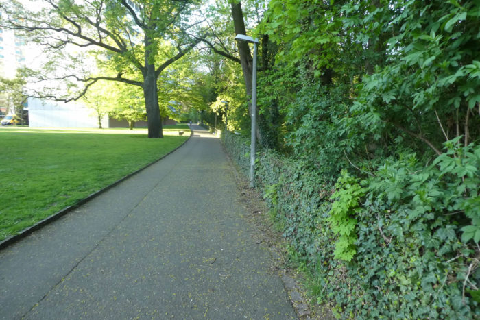
| At Redingstrasse, you leave the park, but the walk along the canal continues alongside hedges. | |
 |
 |
| A bit further, the Via Jura switches sides of the canal. Regular markers along the route ensure it’s difficult to get lost. | |
 |
 |
| Later on, the canal disappears from view as you rapidly approach Basel’s most complex intersection, where roads, highways, railways, trams, and enthusiastic football supporters converge. | |
 |
 |
Section 2 : From the football Stadium to the peaceful river
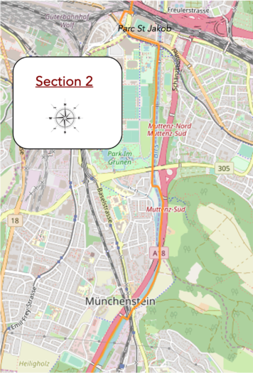
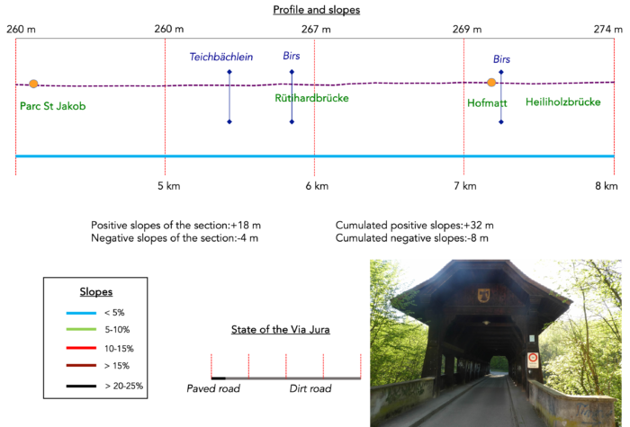
Overview of the route’s challenges : a route without any difficulty.
|
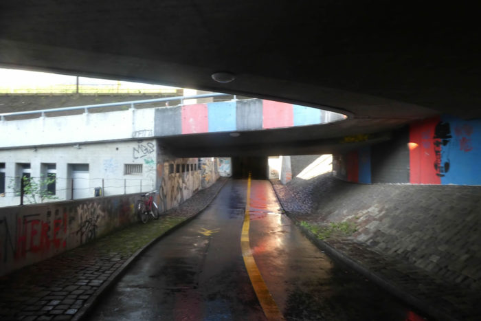
Passing through the underground passages, you can already sense the looming confusion. |
|
 |
 |
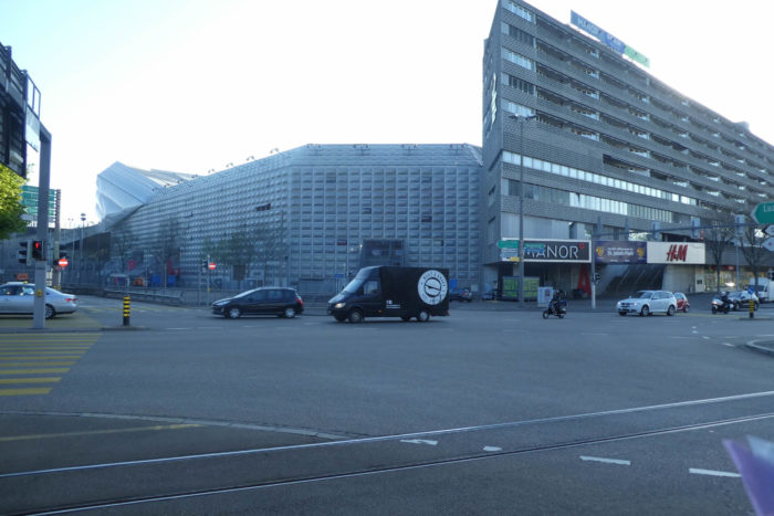
At the tunnel’s exit, you face Basel’s football stadium, St. Jakob Stadium, designed by the renowned local architects Herzog & de Meuron. This sports colossus, the St. Jakob-Park, nicknamed « Joggeli, » was inaugurated in 2001 and renovated in 2006 and 2008. It can accommodate approximately 38,000 spectators for football matches, expandable to 42,500 for concerts. The stadium is known for its transparent facade and sail-like roof. It features stands, VIP boxes, giant screens, shops, and restaurants, and is easily accessible by public transport. This project served as a testing ground for the architects’ other prestigious achievements, such as Munich’s Allianz Arena and the Beijing National Stadium.

|
FC Basel represents a prestigious institution in the country, ranking among the top second-tier European clubs, although its star has dimmed in recent years. With a turnover of 105 million francs and a profit of 15 million francs, the club commands respect not only in Switzerland but also among numerous European clubs whose budgets range from 6 to 30 million Swiss francs. However, these figures seem modest compared to the giants of world football, like FC Barcelona with nearly 900 million euros, Real Madrid with 700 million euros, and Paris Saint-Germain with nearly 540 million euros. Other major clubs, whether German, English, French, or Italian, seem modest, struggling to reach budgets of 400 million euros. |
|
 |
 |
|
You quickly realize that in such places, even public infrastructure adapts to the demands of dream merchants. Visitors likely do not come on foot as you do: trains pass nearby, and parking lots are sized accordingly. For walkers, it’s a real obstacle course, sometimes requiring you to cross stadium entrances to progress. |
|
 |
 |
The name St Jacques resonates here with a medieval evocation, reminding us that this was where the city gates once stood. Chronicles tell you that a bridge over the Birs River, just nearby, marked the bifurcation of pilgrimage routes: to the right, you would head to Santiago de Compostela in Galicia, and to the left, to Jerusalem. After detouring around the stadium, you run near St Peter’s Chapel, now a temple, which was once adjacent to the old hospices that gave their name to this district, St Jakob.

|
After navigating the maze of peripheral neighborhoods around the stadium on the hill, despite concrete dominating the urban landscape, this section of the avenue still manages to maintain a certain human warmth and unique charm, thanks to its small shops and century-old trees. |
|
 |
 |
|
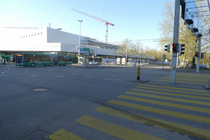
The Via Jura then enters the vast road network that majestically surrounds the stadium. The architectural lines of the buildings standing here are as much a testament to Basel’s prosperity, an evident fact that needs no further comment. |
|
 |
 |
|
Continuing along St Jakob-Strasse, the road briefly leads towards the Birs River. |
|
 |
 |
|
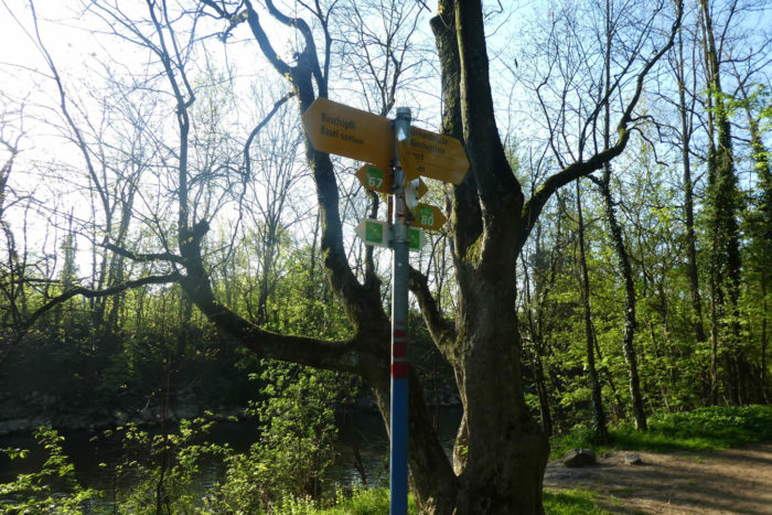
The Birs originates in Tavannes, a town you will visit in a few days, before flowing into the Rhine a few kilometers from here. Your walk will stretch over nearly 10 kilometers along the river, mostly on wide dirt paths. Your axis remains the Via Jura 80, after a final glance at the passionate football supporters. |
|
 |
 |
|
Here, you follow the path on the river’s left bank, entering the deciduous forest undergrowth. |
|
 |
 |
|
The smooth path sways under the domes of plump oaks, delicate maples, and beech trees, some of which are in the form of sprouts. Soon, you will discover bridges and footbridges that span the river. Each tells a different story, but not all of them will be for you. This series of discoveries will continue until Aesch. |
|
 |
 |
|
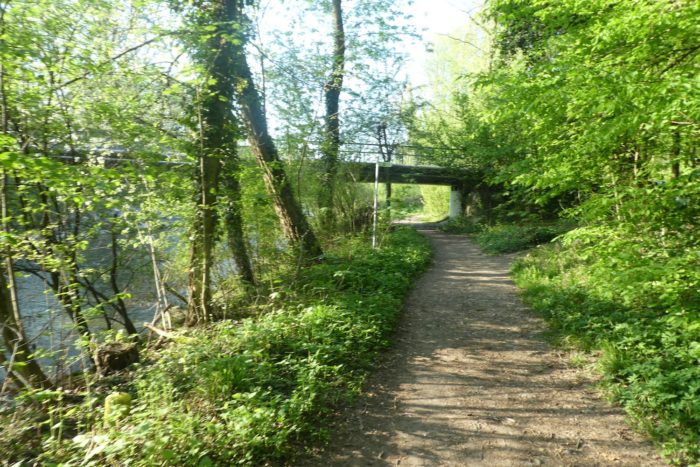
The river mostly flows peacefully, although occasional small eddies signal its progress. To your right stretches the Park im Grünen. The path follows the park, sometimes leading to a bench for resting. Is it really necessary? |
|
 |
 |
 |
 |
|
Shortly afterward, the St Alban-Teich, which is lost in small lakes before re-emerging as the Teichbächlein, a modest stream, excitedly joins the Birs river here. |
|
 |
 |
|
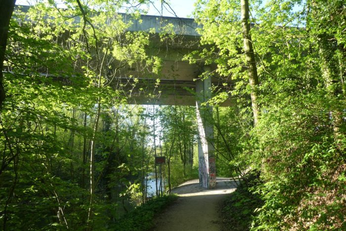
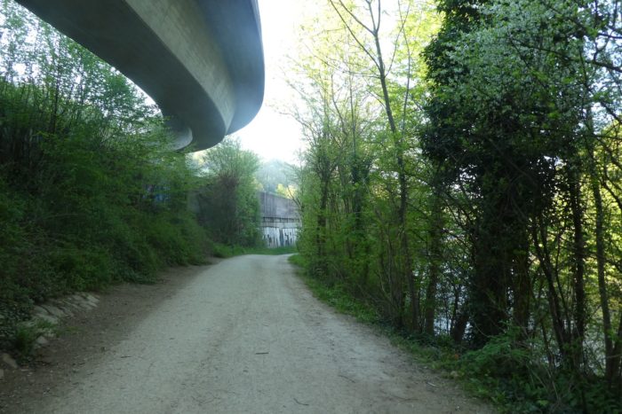
Your path continues mostly on wide, soft dirt paths, later passing under the grand viaduct connecting the prestigious southern Basel districts, from Bruderholz on the right bank to Münchenstein on the left bank. |
|
 |
 |
 |
 |
|
A few steps later, you will reach the fork leading to Münchenstein. The journey then continues on the river’s right bank, via the magnificent wooden Rütihardbrücke bridge. Wooden bridges always captivate walkers, evoking a tradition of rebuilding in response to recurring floods. Although this one is relatively recent, built in the 1950s, it’s wise to take precautions before venturing across it, according to strict Swiss rules: « This is a walking path. Swimming or throwing stones is prohibited. Only clean clothes and shoes are allowed ». |
|
 |
 |
The river winds vigorously over stones in some places, revealing deep, calm waters at times, shimmering like oil stains under the sun.
|
Your path then runs alongside the noise barriers of the loud A18 highway, connecting Basel to Aesch and the Jura. Along the way, you will pass near the hydraulic installations of the Wasserhaus, where the Birs’ waters cascade with striking beauty. In several sections, the river has been channeled and stabilized with granite walls to prevent flooding. The dead arms have been filled in to promote more regular flow towards the Rhine, while bank reinforcements with rocks and willows now secure its shores. |
|
 |
 |
The river springs several meters in a soft and constant murmur, creating a spectacle like a giant comb of sparkling water.
|
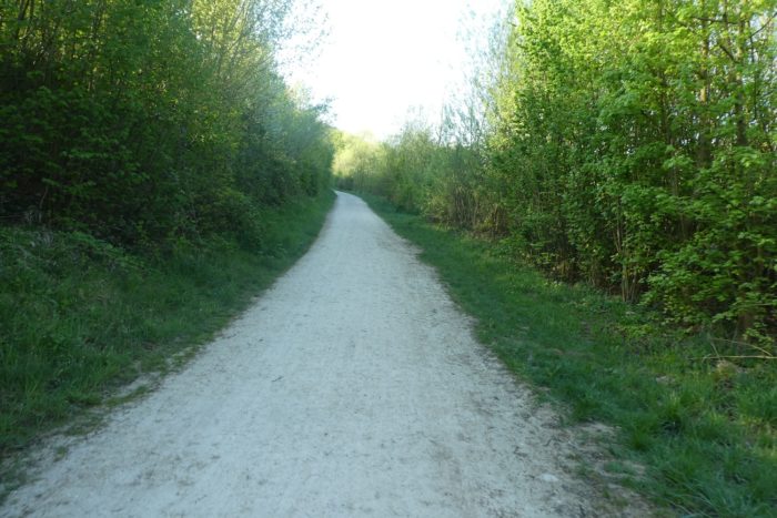
The path then approaches the highway in a landscape dominated by beech shootings, on soil that resembles chalk. |
|
 |
 |
|
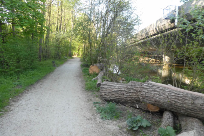
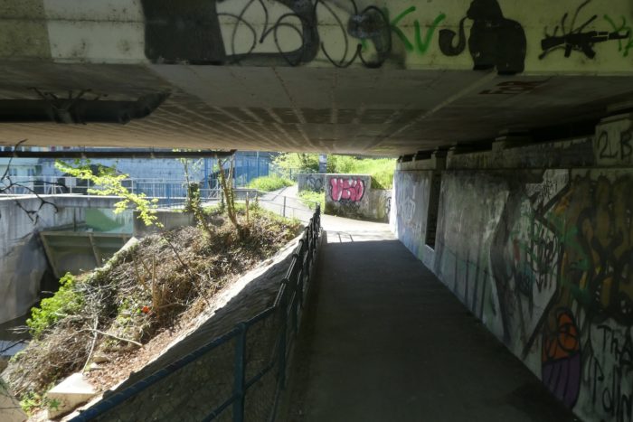
A bit further on, the highway crosses the river, a massive line in the serene landscape. The graffiti adorning its walls often spark controversy, but these, with striking beauty and rare elegance, seem to blend into the natural scene with unexpected harmony. Erasing these works would be a true sacrilege, an opinion shared by local authorities. The path passes under the terrifying jaws of the highway. |
|
 |
 |
|
As for the path, it faithfully follows the right bank, offering a large avenue that gracefully oscillates between sunny clearings and mysterious undergrowth, sometimes crossing streams whose names are lost in the whisper of foliage. Everywhere you look, beech trees reign supreme, dominating the forest with their shaded majesty. Among these woods, beeches predominate, their majestic silhouettes reigning like little kings over this leafy kingdom. Unlike other regions, conifers are rare here, giving way to more varied vegetation that changes with the seasons. |
|
 |
 |
 |
 |
|
The smooth path then slips under the main road connecting Münchenstein on both sides of the river. The graffiti here are true urban masterpieces, adding a singular artistic dimension to this bucolic landscape. They contrast with the bluish reflections of the river, which flows gently, creating an almost surreal atmosphere. |
|
 |
 |
 |
 |
|
Shortly afterward, you arrive in the Hofmatt area, crossed by a dense network of communication routes where the BirsRiver is again spanned by a road and the railway. |
|
 |
 |
|
What surprises during this walk along the river is the rarity of houses along the river, despite your proximity to Greater Basel and its important towns like Münchenstein, Arlesheim, Muttenz, and Reinach, all with populations of over 10,000, if not more. Shortly after, the Via Jura crosses the river and continues on the left side of the river. |
|
 |
 |
|
At this point, the railway also crosses the river. How can one not be charmed by the gentleness of this calm blue water that gracefully glides along the foliage? |
|
 |
 |
|
The landscape transforms again, with thick deciduous undergrowth enveloping you, offering a haven of happiness in the heart of the lush greenery. The only downside is the faint hum of the nearby highway. |
|
 |
 |
|
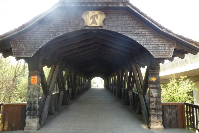
The Via Jura soon passes near another beautiful wooden bridge, leading to Münchenstein Dorf. Built in 1915, this bridge, reserved for pedestrians, embodies the timeless charm of local craftsmanship. However, your path does not end here; it follows the curve of the river, slipping under the arches of a bridge where a parallel road stretches across the old structure. Once, this area housed a metal railway bridge designed by Gustave Eiffel. In 1891, when a train plummeted here, the bridge collapsed under the weight, marking Switzerland’s darkest railway disaster, with 71 lives lost and 170 injured. |
|
 |
 |
 |
 |
Section 3 : Along the pleasant river once again
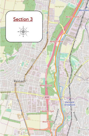
Overview of the route’s challenges : The route has no difficulty.
|
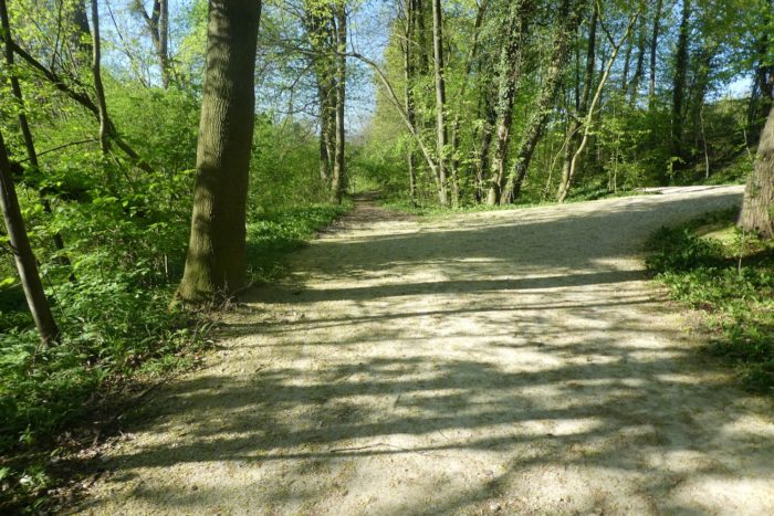
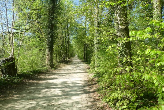
The path now embarks on a long straight stretch through dense undergrowth, a royal alley where majestic beeches reign supreme, accompanied by a few sparse maples, and interspersed here and there with oaks and chestnut trees. Underfoot, the ground offers a remarkable softness, a natural carpet inviting you to daydream as you look up. To the left, the whispers of the river are barely audible, muffled by the lush vegetation lining its banks. To the right, invisible but omnipresent, the A18 highway hums incessantly, constantly reminding you of the undeniable presence of modernity, in sharp contrast with the surrounding peaceful nature. |
|
 |
 |
|
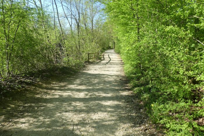
Often, walking along the river feels like a treasure hunt from one bridge to the next, from one road to the other. Here, the path continues gently and gracefully under the canopy of deciduous trees. As is often the case, ivy loves to wind itself around the trunks of oaks. Maples, beeches, and hornbeams don’t enjoy this privilege as much. You proceed at the peaceful pace of the river’s waters. At times, it mysteriously slips away under the dense foliage, gliding silently like a snake sneaking through the bushes. In places, the river flows so gently that it seems silent in the calm of the undergrowth, hiding from your view, while small fish play a discreet game of hide-and-seek in its clear waters. |
|
 |
 |
 |
 |
|
In the distance, a new bridge emerges. At the end of this wooded stretch, the path humbly runs under the road that splits from the A18 road to join Arlesheim. Here, you have Arlesheim to your left, and Reinach to your right, but you hardly notice. |
|
 |
 |
|
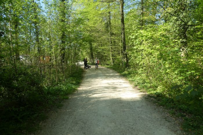
Shortly after, the path veers slightly away from the river into the undergrowth, only to return near a picturesque bridge leading again to the town of Arlesheim, in a landscape made of heathland. |
|
 |
 |
 |
 |
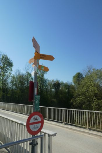
Here too, a signpost shows many directions, across the river. But you remain faithful to Via Jura 80, it’s the safer choice.
|
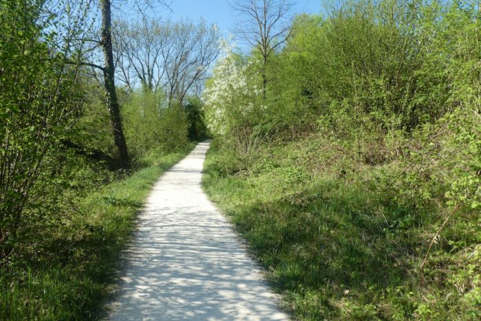
Soon after, the path enters a more open space, where the undergrowth thins out, moving away from the soothing whispers of the river. The path, perfectly smooth like a golf green, strictly forbids access to dogs, a rule scrupulously respected in this peaceful Swiss-German region, where cleanliness is a sacred virtue. |
|
 |
 |
 |
 |
|
Underfoot, the tall trees momentarily give way to more modest shrubs, creating a harmonious balance between natural splendor and modern practicality. Many joggers frequent these trails, enjoying the easy access to homes and various transport options, including the train, ensuring a serene return to the city. |
|
 |
 |
|
The path then winds back near the river, in a large clearing where you can glimpse Reinach’s buildings to your right. At times, the Birs River stirs, forming foamy whirlpools over large stones, a fleeting spectacle that reminds you of nature’s capricious vigor, like a fleeting torrent playing at being fierce before resuming its peaceful course. |
|
 |
 |
|
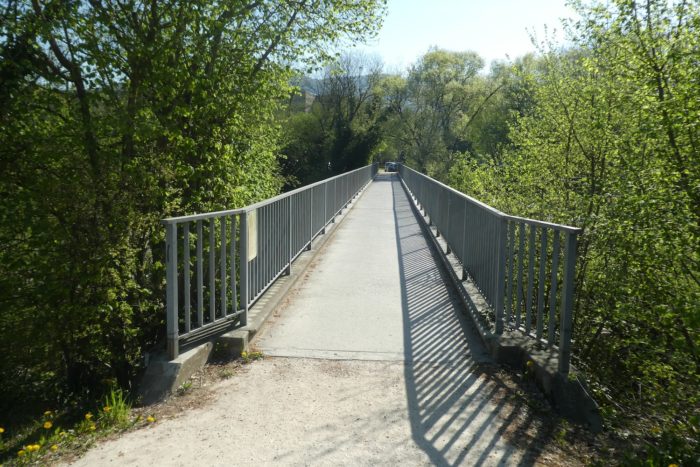
Then, the path approaches a small bridge seemingly lost in time. It’s yet another bridge leading to the left bank. You should know that a parallel hiking trail runs almost alongside yours on the other bank. |
|
 |
 |
|
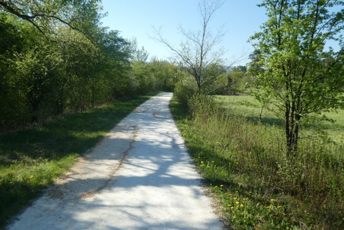
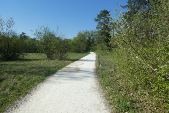
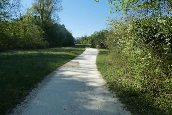
After ignoring the bridge, the path moves away from the banks once again, crossing familiar landscapes of meadows dotted with small woods. It also crosses a modest unnamed stream, where the water murmurs softly under the feet of walkers, another testament to the quiet yet enduring beauty of this preserved region. |
|
 |
 |
 |
 |
|
Further on, you approach a residential area, the first in quite some time, and the number of walkers increases accordingly. It’s quite an accomplishment to have charted a path through such a densely populated area while judiciously avoiding urbanization. Indeed, the banks of the river have been landscaped with remarkable subtlety to avoid this trap. |
|
 |
 |
|
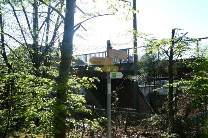
Shortly after, the path narrows and returns to the undergrowth, arriving at Dornach. |
|
 |
 |
 |
 |
|
After another short passage through the woods, the path leads under the bridge that spans the road connecting Reinach (BL) to Dornach (SO). You briefly enter the canton of Solothurn, characterized by its complex geography, with some extensions even reaching the French border while skirting the canton of Basel-Landschaft (Basel Land, BL). To the north, Arlesheim is near Dornach. Just a few steps away, the magnificent stone bridge of Dornach spans the river. In earlier times, a wooden bridge upstream was replaced by the current stone bridge with three arches in the early 17th century. In 1735, a statue of Saint John of Nepomuk, the patron saint of bridges, was erected here. Today, a replica of the statue stands on the bridge, with the original housed in the local town museum. The site is charming and remarkable. |
|
 |
 |
 |
 |
Here, you are 45 minutes from Aesch and 2 hours 30 minutes from Basel’s train station.
|
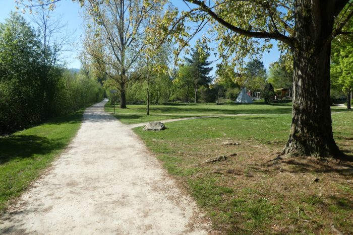
The Via Jura briefly joins the main road connecting Dornach to Aesch, before returning near the river in the gentle surroundings of bordering parks. |
|
 |
 |
 |
 |
Section 4 : Aesch, at the end of the walk along the Birs River
Overview of the route’s challenges : a little more river still.
|
The path continues for a while in the park along the cantonal road. |
|
 |
 |
|
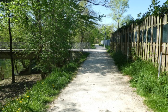
Further along, the path resumes its course along the peaceful meanders of the Birs river, in the undergrowth, once again encountering a bridge that connects Reinach to Dornach, on both sides of the river. |
|
 |
 |
|
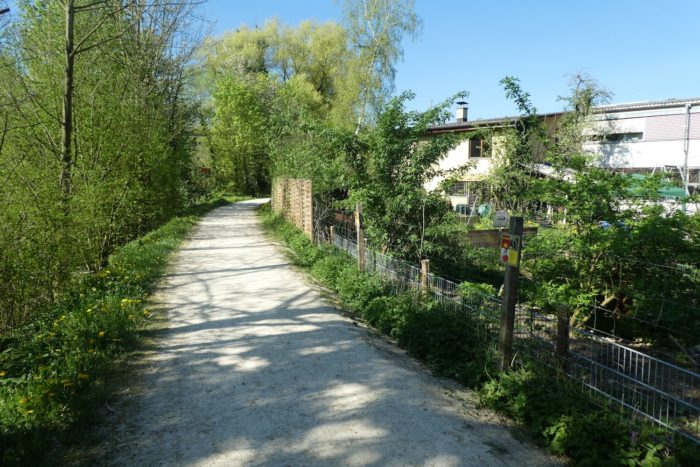
It then runs through a residential area. Here, the river is calm and serene. |
|
 |
 |
 |
 |
|
Further on, it crosses an industrial zone that stretches on both sides of the river, where human activity contrasts with the natural tranquility of the surroundings. |
|
 |
 |
|
Then, there is yet another bridge that crosses the river, but it is not for you. Throughout this beautiful walk along the river, you would have felt like you were passing through a sparsely populated area. But that is not the case. On both sides of the river, the towns are almost continuous from Basel to Aesch. The noisy highway, which you will often hear rumbling, is there to remind you of this. |
|
 |
 |
|
At the end of this zone, the river occasionally becomes more turbulent, making the path more picturesque. |
|
 |
 |
|
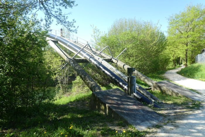
Quickly, the path skirts around a water treatment plant, an imposing silhouette in the midst of the lush landscape, which soon regains its dominance. |
|
 |
 |
 |
 |
|
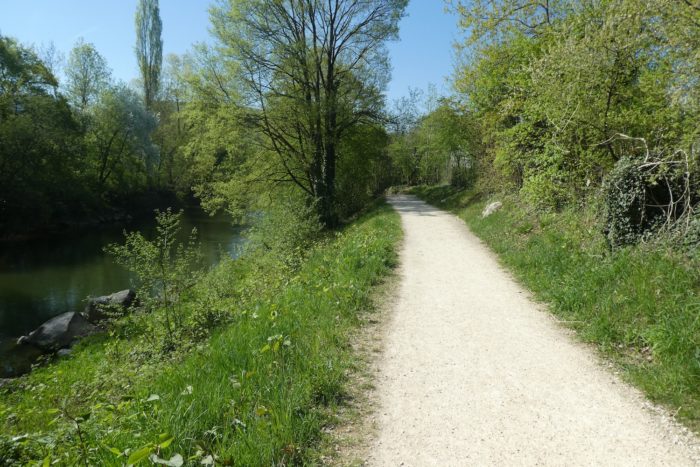
Shortly after, the path narrows, as if hurrying toward its end. |
|
 |
 |
|
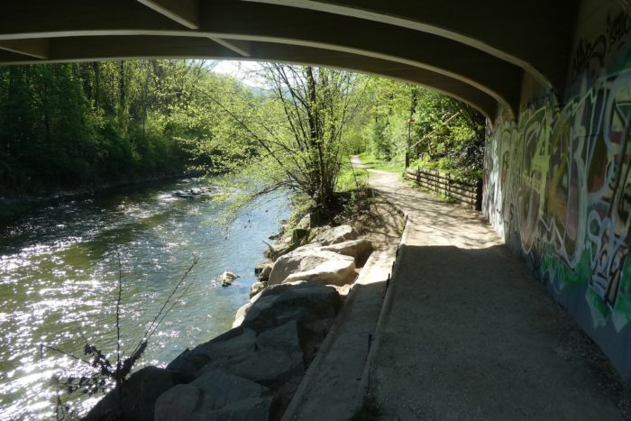
As you approach one final bridge over the river, your walk along the river comes to an end. You will encounter the river again at the next stage. |
|
 |
 |
 |
 |
|
At the bridge, the Via Jura slopes up into the polluted air. In this region teeming with forks, it is crucial to choose the right direction. Yours remains the Via Jura. Here, you are close to the train station. |
|
 |
 |
|
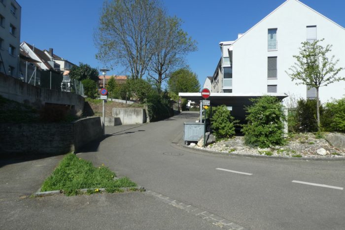
This is where your journey concludes. After nearly 15 kilometers of walking, it will be time to turn towards the mountains. Aesch, with its population exceeding 10,000 inhabitants, represents the last agglomeration of Greater Basel. The fact that the A18 highway ends here is tangible proof. To continue towards the Jura, you will first take a semi-highway, followed by an ordinary road. |
|
 |
 |
|
You will only get a fleeting glimpse of this town. The Via Jura enters the urban fabric. Here, the route is well signposted. It passes through residential areas to reach the town center. Let’s say, trying not to make too many enemies, that Aesch is not the most attractive town in the canton of Basel-Country. |
|
 |
 |
Accommodation on Via Jura
- B&B Sprecher, St Jakobstrasse, Aesch; 061 753 16 60; Guestroom, breakfast
- B&B Rose-Marie’s Paradies, Kirschgartenstrasse 33, Aesch; 079 397 77 53; Guestroom, breakfast
- Gasthaus Zur Sonne, Untere Kirchgasse 1, Aesch; 061 751 17 72; Hotel**, dinner, breakfast
- Hôtel Gasthof Mühle, Hauptstrasse 61, Aesch; 061 756 10 10; Hotel***, dinner, breakfast
The Jura remains a popular destination primarily for local tourists. As a result, accommodations are more discreet, except for Airbnb options, for which we do not have specific addresses. On this stage, there is nothing before reaching Aesch unless you leave the Via Jura to find accommodation in the many large towns off the route, which can be found online. The first town where you can find a place to eat is Dornach. At the end of the stage, Aesch offers all the necessary shops. Be sure to book in advance.
Feel free to add comments. This is often how you move up the Google hierarchy, and how more pilgrims will have access to the site.
 |
Next stage : Stage 2: From Aesch to Laufen |
 |
Back to menu |
