On the gentle mountains of Toggenburg
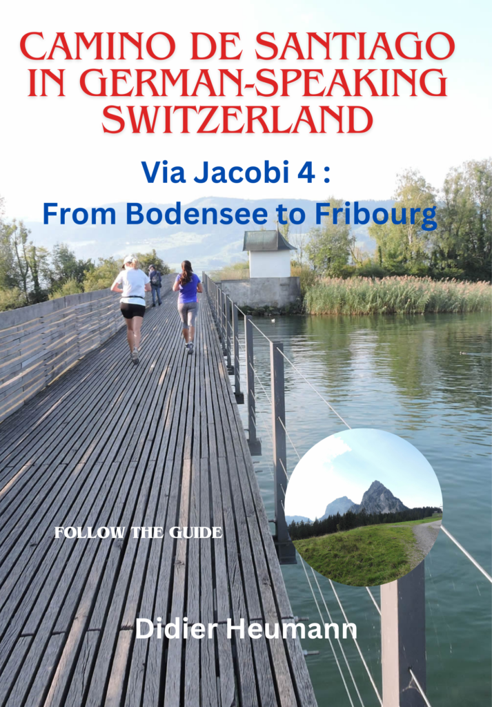
DIDIER HEUMANN, ANDREAS PAPASAVVAS
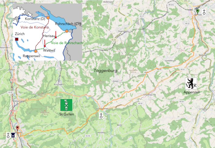
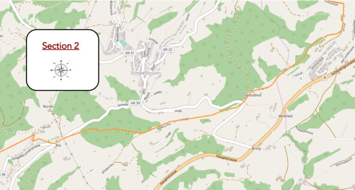
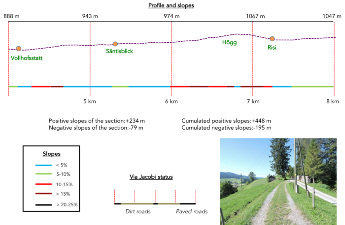
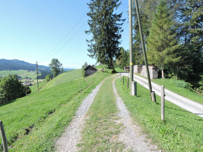
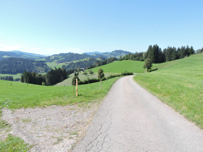
We divided the course into several sections to make it easier to see. For each section, the maps show the course, the slopes found on the course, and the state of the route (paved or dirt roads). The courses were drawn on the « Wikilocs » platform. Today, it is no longer necessary to walk around with detailed maps in your pocket or bag. If you have a mobile phone or tablet, you can easily follow routes live.
For this stage, here is the link:
https://fr.wikiloc.com/itineraires-randonnee/de-herisau-a-wattwil-sur-la-via-jacobi-4-31775955
|
Not all pilgrims are necessarily comfortable using GPS or navigating routes on a mobile device, and there are still many areas without an internet connection. For this reason, you can find several books on Amazon dedicated to the major Via Jacobi 4 route, which runs through the heart of Switzerland and over the Brünig Pass. The first guide leads pilgrims through the German-speaking part of Switzerland up to Fribourg, while the second continues through French-speaking Switzerland to Geneva. We have also combined these two books into a compact, lighter, and highly practical version. While the descriptions have been slightly condensed, they remain detailed enough to guide you step by step along the way. Recognizing the importance of traveling light, this latest edition has been designed to provide only the essentials: clear and useful information, stage by stage, kilometer by kilometer. The stages have been carefully adjusted to ensure accessibility and alignment with available lodging options. These books go beyond simple practical advice. They guide you kilometer by kilometer, covering all the crucial aspects for seamless planning, ensuring that no unexpected surprises disrupt your journey. But these books are more than just practical guides. They offer a complete immersion into the enchanting atmosphere of the Camino. Prepare to experience the Camino de Santiago as a once-in-a-lifetime journey. Put on a good pair of walking shoes, and the path awaits you.
|
|
 |
If you only want to consult lodging of the stage, go directly to the bottom of the page.
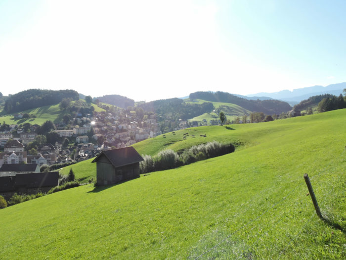
Today, your steps still crisscross with unwavering determination the gentle undulations of the Eastern Swiss hills. Like a poem in motion, your journey gracefully traverses the undulating landscape of the Outer Rhodes Appenzell canton, then ventures into the maze of Toggenburg, nestled in the canton of St. Gallen, before flourishing in Wattwil. These regions, the cradle of yodeling, this primitive and captivating musical form, resonate with a thousand echoes. In Inner Appenzell, this song is called « Rugguusseli, » in Outer Rhodes, it is adorned with the name « Zäuerli, » while in the heart of Toggenburg, it answers the sweet call of « Johle. » It’s not just about singing, but about transcending the human voice into a melody that springs from the depths of the soul. Yodels stretch like melancholic laments, weaving thoughts subtly through the throats. They are vowels and syllables, vibrating between chest and head voices, a sonic ballet where the song bursts forth with each glottal stroke. When the first yodeler starts his melody, he is joined in polyphonic improvisation by the other singers, creating a symphony of pure emotions. Rustic and angular, yodeling remains firmly rooted in mountain culture, a precious heritage cherished by Swiss hearts.
The hills sketch themselves in gentle curves, the deep valleys stretch their welcoming arms, while the majestic forests whisper millennia-old secrets. Your journey, departing from Herisau, first climbs towards the peaks of Toggenburg, winding between woodlands and pastures, passing proud Appenzell and St. Gallen farms. At every turn, the gaze escapes to a sumptuous panorama, sometimes offering, by the grace of fair weather, a breathtaking view of the majestic mountain range of Säntis. Further on, the route merges into the dark mystery of Neckertal in St. Peterzell, where stands, like a guardian of time, a secular convent, while the facades of bourgeois houses testify to a glorious past. It is the land of shingle makers, master craftsmen of shingles whose art fades into the mists of time. But it is above all, alongside Appenzell, the realm of armaillis, tireless guardians of traditions, songs, and ancestral customs. In the heart of these lands where the authentic pulse of Switzerland still beats, it is sometimes given to the traveler to embrace the rustic charm of local festivities, to hear the crack of whips echoing through the valleys, or the soft tinkling of bells marking the passage of time. And how not to succumb to the musical enchantment of « Talerschwingen, » where a coin, swirling in a bucket, accompanies the yodel, or to the captivating melody of the Toggenburg zither, an instrument without notes or score, revealing the pure essence of musical art? Come the weekend, perhaps you will have the privilege of hearing the echoing sound of the Alpine horn, once the messenger of the valleys, now a witness to a bygone era. The farms, proud sentinels of agriculture, punctuate the landscape. In the high valleys of Thur and Necker, livestock thrives and cheese reigns supreme. Toggenburg, a prominent producer of Appenzeller, also celebrates the delights of sbrinz and tilsit. And what about the « Schüblig, » this royal sausage, a gourmet delight carved from the tender flesh of veal or pork?
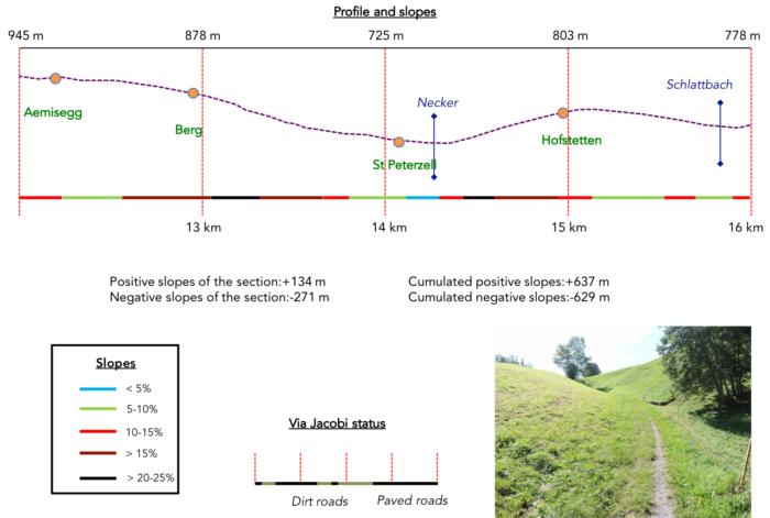
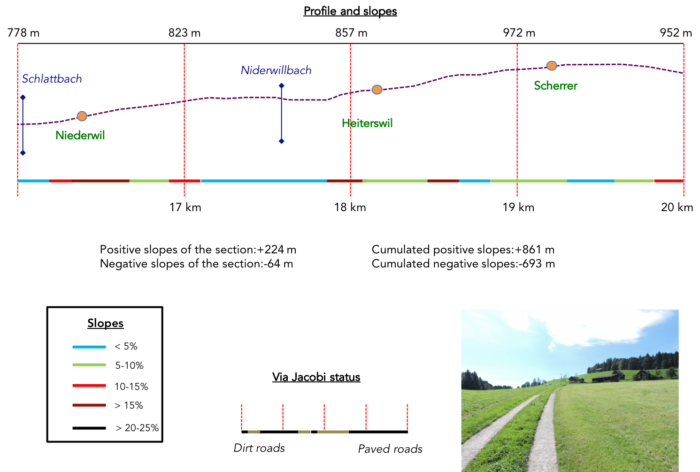
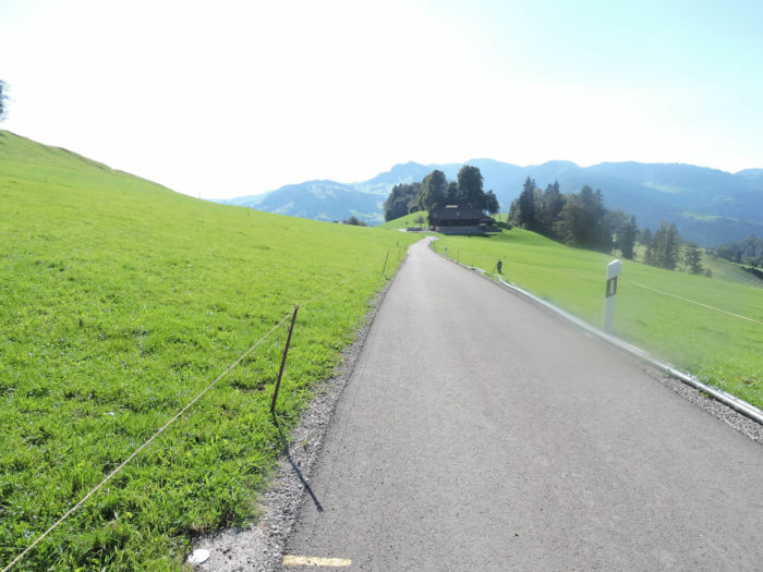
The route, punctuated by dizzying elevation changes, presents itself as one of the most challenging stages of the Way of St. James in Switzerland. Not so much for its technicality, but for the incessant ascent that marks its course. The first part of the journey, demanding, lifts you towards summits where the sky merges with the earth, before plunging, like a rushing torrent, towards St. Peterzell, in the hollow of Neckertal. From here, the path winds between verdant meadows and mysterious woods, up to Scherrer, perched on the heights of Wattwil. The ensuing descent is a test for knees and ankles, a vertiginous tumble towards the winding streets of Wattwil.
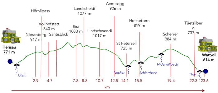
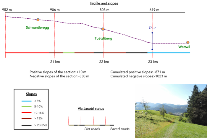
Difficulty level: The route of this stage leads you over imposing elevation changes, with a height gain of +871 meters and a dizzying descent of -1023 meters. This is one of the most daunting sections of the Way of St. James in Switzerland, not because of its technicality, but because of the constant incline accompanying each step. From the first steps, the ascent is felt, almost relentless, with slopes sometimes reaching 15 to 25%. Like an incessant ballet, the route guides you through natural ups and downs until you reach Landscheide, the border between the cantons of Appenzell and St. Gallen. The ensuing descent is a true ordeal, leading you to descend the steep slopes to reach St. Peterzell, nestled in the hollow of Neckertal. From there, the route carves its way through verdant meadows and mysterious woods, valiantly climbing up to Scherrer, perched on the heights of Wattwil. And it is with a descent as demanding as it is dizzying that you complete this stage, plunging towards the winding alleys of Wattwil.
State of the Via Jacobi: In this portion of the journey, asphalted sections are rare in favor of paths:
- Paved roads: 9.3 km
- Dirt roads : 14.3 km
Sometimes, for reasons of logistics or housing possibilities, these stages mix routes operated on different days, having passed several times on these routes. From then on, the skies, the rain, or the seasons can vary. But, generally this is not the case, and in fact this does not change the description of the course.
It is very difficult to specify with certainty the incline of the slopes, whatever the system you use.
For those seeking « true elevations » and enthusiasts of genuine altimetric challenges, carefully review the information on mileage at the beginning of the guide.

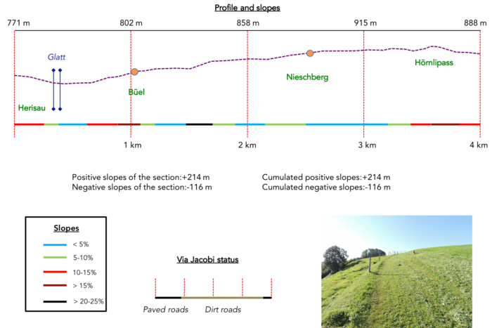
Section 1: A challenging ascent through meadows and forest to the Hörnlipass

Overview of the route’s challenges: steep and constant slopes, with an elevation gain of over 200 meters in less than 3 kilometers.
|
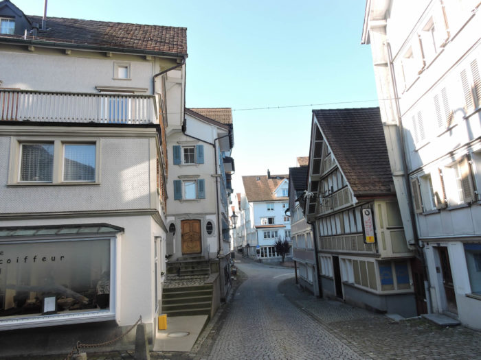
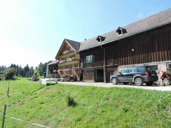
The Via Jacobi begins its journey from Herisau, meandering through the picturesque Shmiedgasse, weaving its way through the twists of the Glatt river, gracefully bridging over the railway tracks.
|
 |
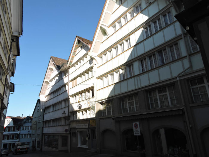 |
| Like a silver thread winding through the valley, it crosses the riverbed twice, delving into the heart of ancient dwellings, typical emblems of the region. |
 |
 |
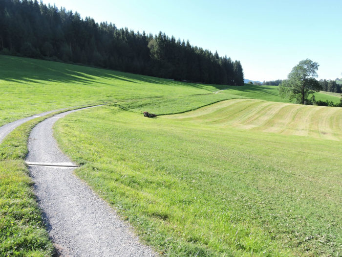
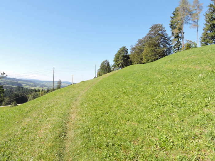
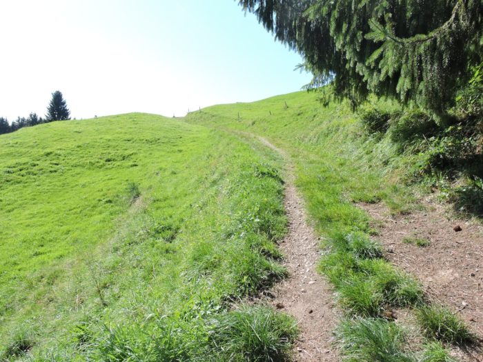
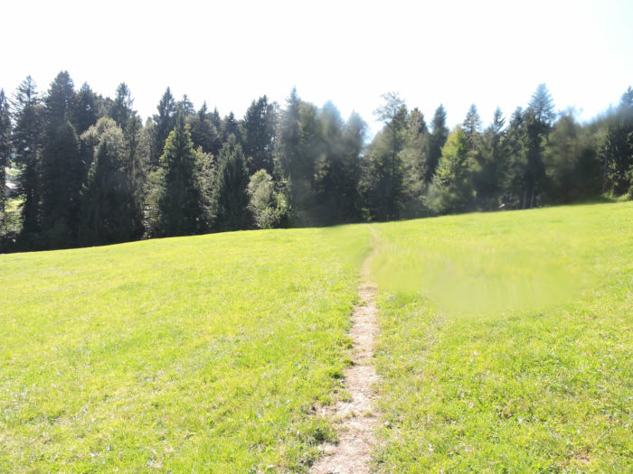
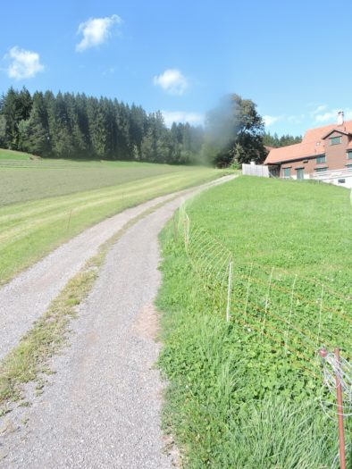
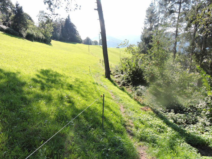
A trail, sometimes challenging, ascends its slopes to exceed 15%, rising amidst the grass, embracing the contours of the hill.
|
 |
 |
| At the heights, the steepness softens, revealing Herisau stretching majestically on the other side of the promontory. |
 |
 |
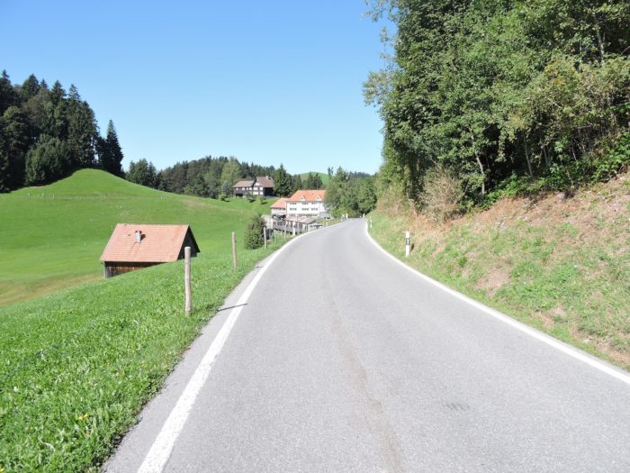
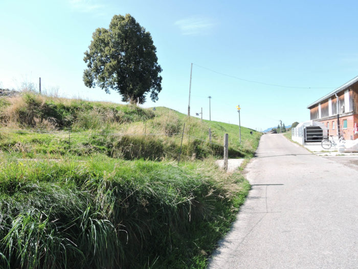
| The trail briefly returns to asphalt, just below the modest hamlet of Büel, nestled among its peaceful farms. |
 |
 |
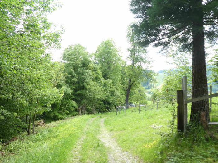
| From there, the trail widens, and an ascent stretches over a long distance, often gentle, weaving its web mainly through pastures. |
 |
 |
| As the altitude becomes more imposing, the forest edge emerges on the horizon. A final glance then offers the heights of Herisau, like a bow to its splendor. |
 |
 |
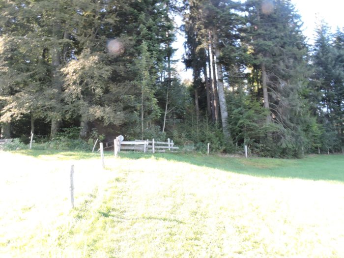
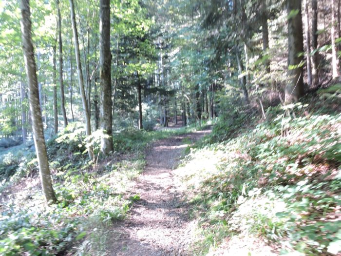
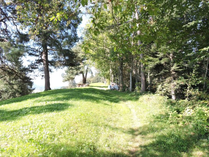
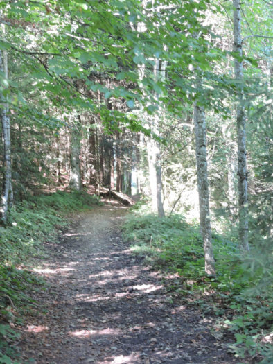
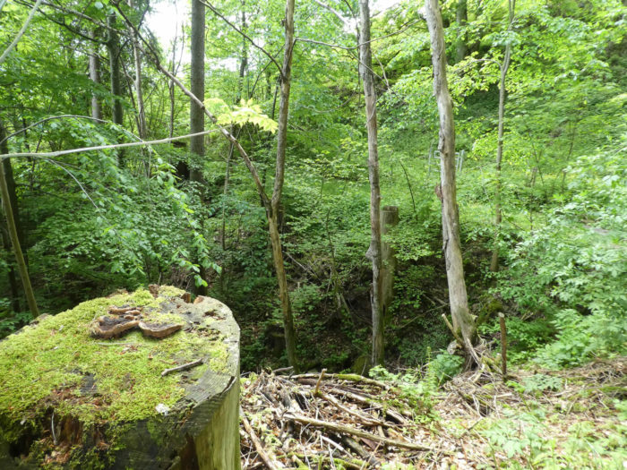
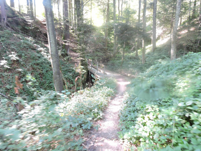
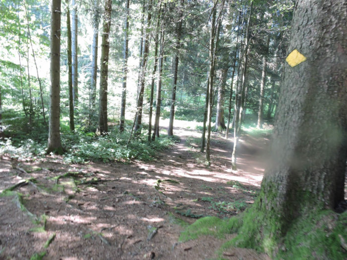
| The path then delves under the wooded cover, where the beech reigns supreme among its peers. While oaks are scarce at these altitudes, a few maples and sturdy spruces punctuate the landscape. There are significantly more spruces than white firs at the altitudes where the Camino de Santiago runs through Switzerland. |
 |
 |
| In this forested area, where the slope becomes milder, a health path emerges, a relic of a bygone era, showing the past trends. This kind of path that was all the rage several decades ago is now mostly deserted. |
 |
 |
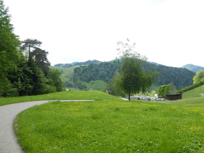
| The path continues its ascent, gently sloping, until it opens onto a peaceful clearing, like a welcome respite in communion with nature. |
 |
 |
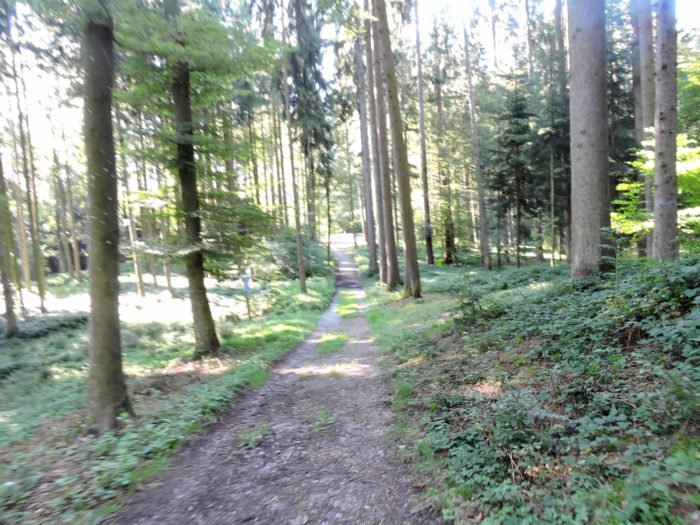
| Extending along the wooded slope, the walker immerses into a palette of vibrant greens, a symbol of the Alemannic Switzerland. The forest then unfolds, its moderate slopes inviting tranquility. |
 |
 |
| At the top of this green haven, spruces predominate, populating the trails and the surrounding hills. |
 |
 |
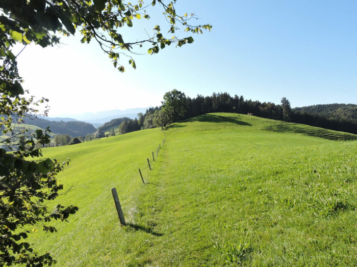
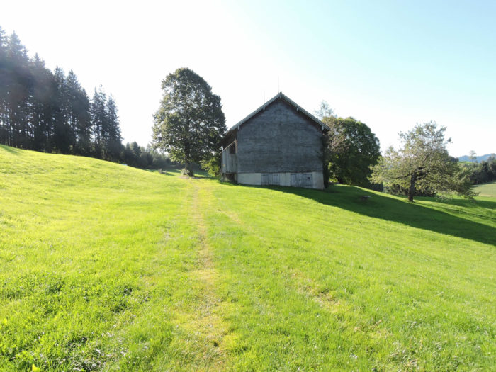
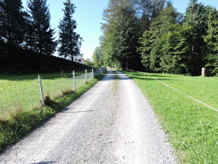
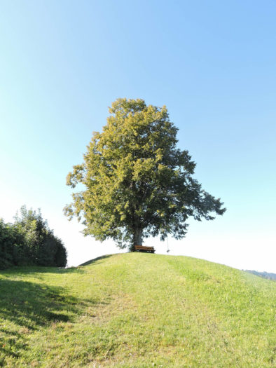
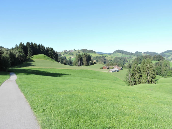
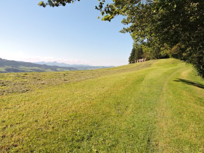
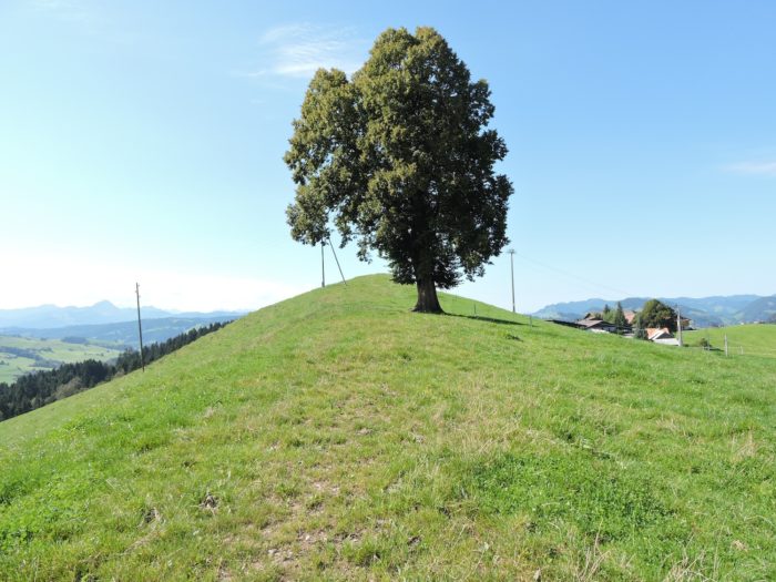
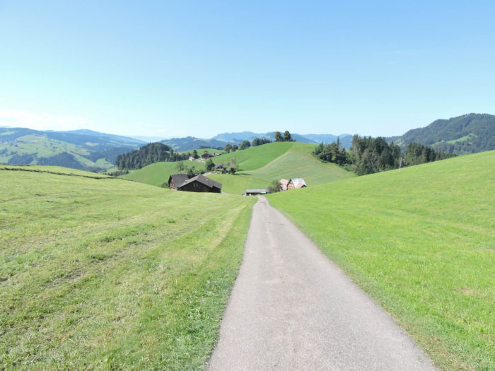
A bench, like an offering to weary travelers, stands atop the hill, in the shade of a majestic oak. You have only ascended 150 meters in altitude since crossing the Glatt. But 150 meters over 2 kilometers is not negligible.
| Higher up, the grassy path winds to Nieschberg, following the course of a road that looms on the horizon. |
 |
 |
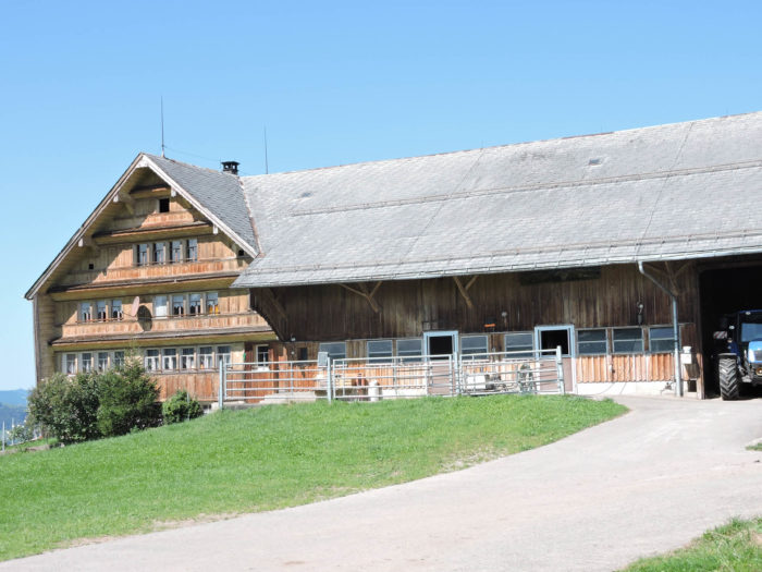
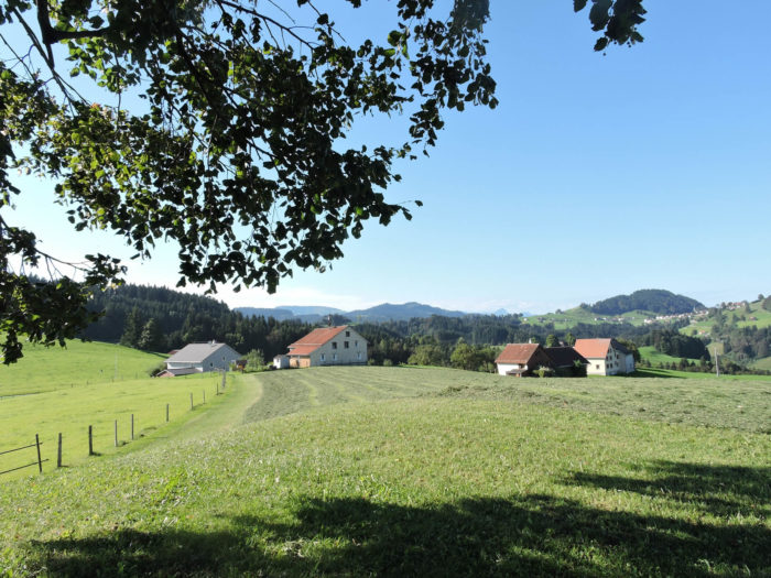
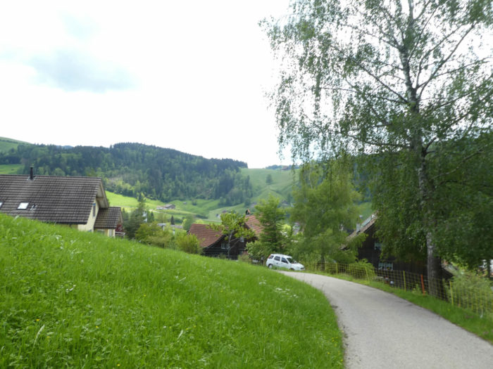
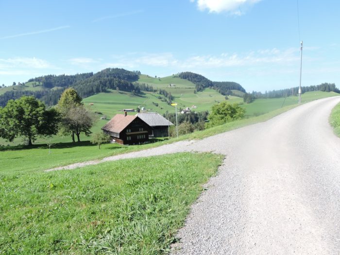
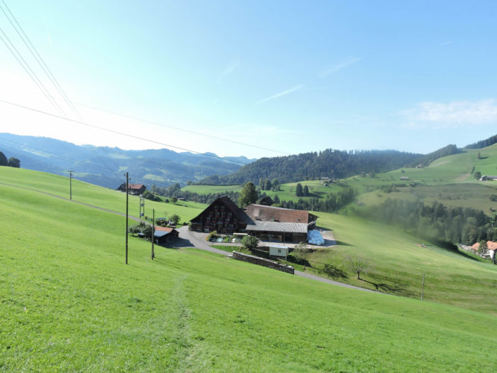
| On the horizon, the village of Schwellbrunn timidly appears, promising a forthcoming stop on the Via Jacobi. Vast pastures spread around it, adorned with sturdy farms. |
 |
 |
| Further ahead, the Via Jacobi promptly veers onto a wide path, mixing earth and grass, ascending towards the summits. On the horizon, rows of spruces spread their tops, overlooking fields of such vibrant green that one could easily envision a golf course. |
 |
 |
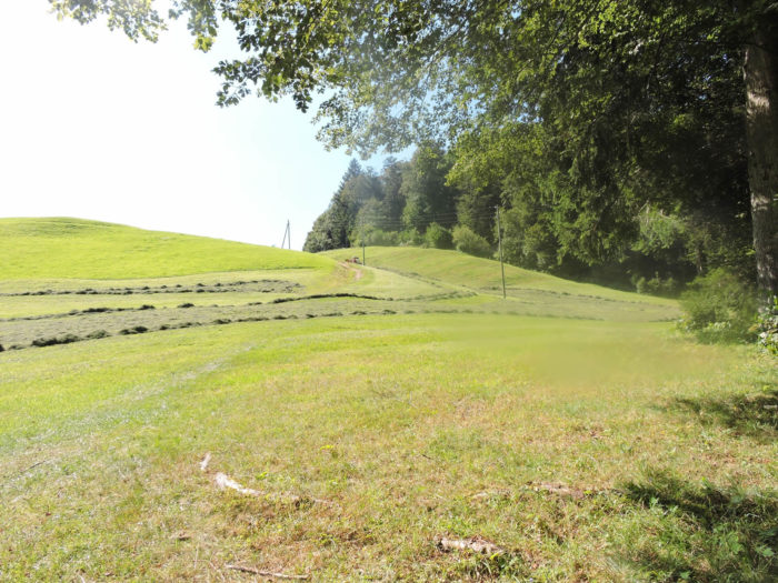
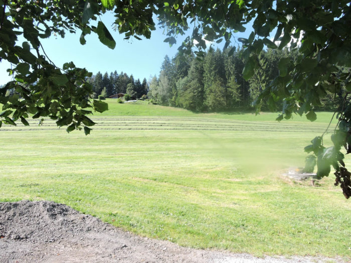
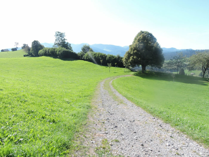
| Then, the path blends into the meadows, meandering gently, offering the traveler the comfort of its green hills. Nature, in all its splendor, flourishes here, generous and majestic. |
 |
 |
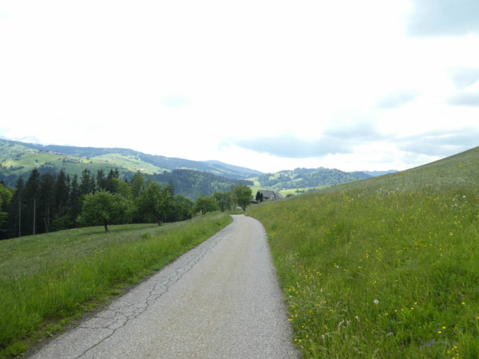
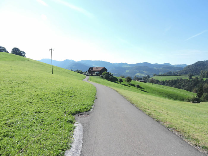
| Towards the top, a small paved road emerges, taking over from the path. |
 |
 |
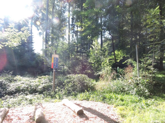
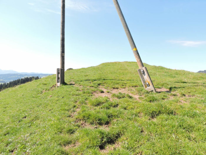
It then reaches the Hörnli pass, a humble groove on the hillside. They call it a pass here because the small road descends on the other side of the hill.

| The road, descending steeply, heads towards the village of Haschwendi. On either side of the pass, the landscape remains exceptional, punctuated by gentle green hills. |
 |
 |
Section 2: Perhaps you will guess the Säntis range
Overview of the route’s challenges: a demanding route, with severe ups and downs.
|
The Via Jacobi doesn’t stretch as far as the village of Haschwendi. It merely brushes past the hamlet of Vollhofstatt, in close proximity, in a kind of fleeting ballet.
|
 |
 |
|
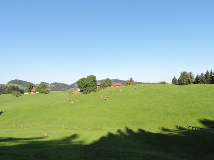
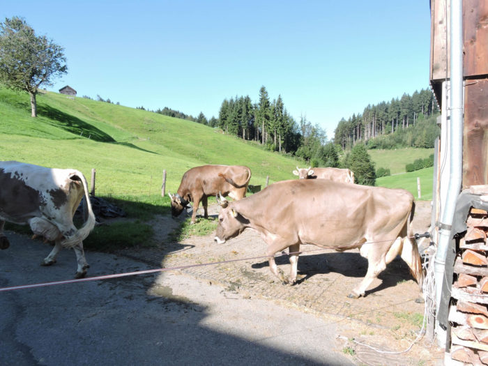
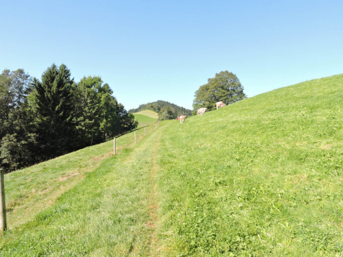
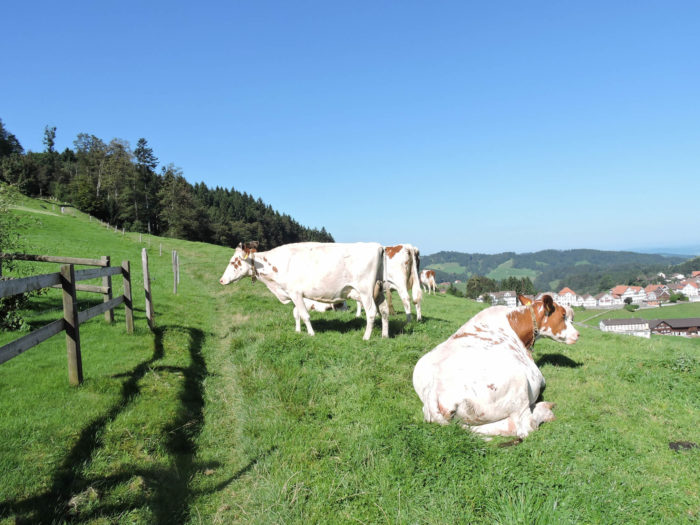
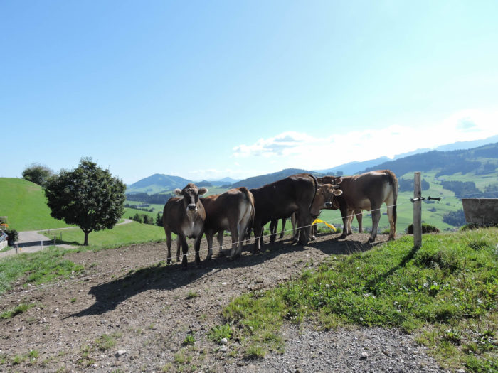
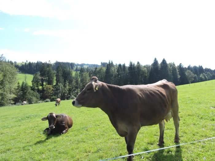
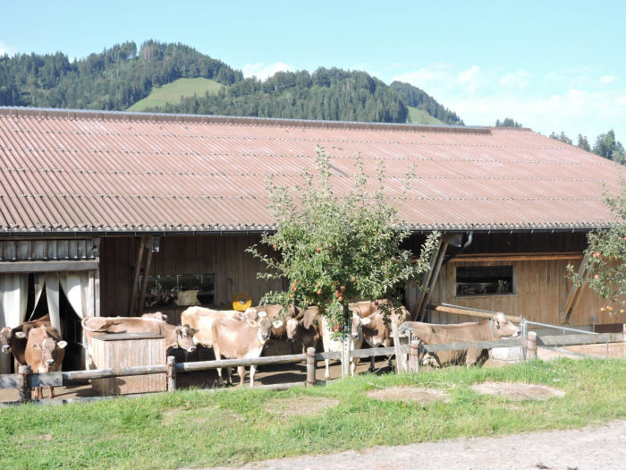
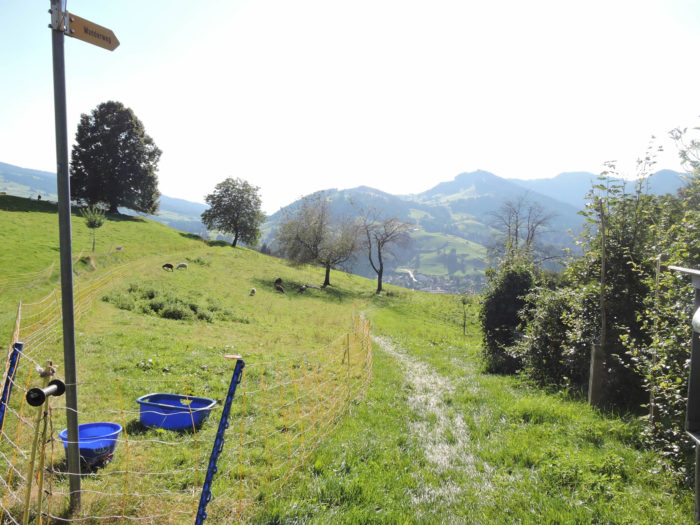
Here, a majestic procession of these noble creatures with their gray-beige coats, the Braunvieh, halts progress. On this route, patience becomes the foremost virtue as the pace of the journey bends to the whims of the bovine. And the inhabitants of these lands won’t consent to hastening matters. They reign as masters over their domain, whether you like it or not. You’ll need to wait; besides, time is on your side.
|
 |
 |
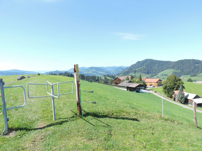
The Via Jacobi gracefully ascends the paved road winding up the hill. Over there, a timid sign indicates a path through the meadows. However, on this route, one custom prevails: open and close the electric gates after passing through. But here, no sign of this custom! So, you’ll have to play the tightrope walker under the wire, in case the cows are peacefully grazing. The laws of the countryside dictate their own rhythm. The cows always come first! For the fleeting passage of three lost pilgrims!
| In such a situation, you can also choose to climb to the farm following the road, then turn right towards the forest, where the trail follows the ridge. |
 |
 |
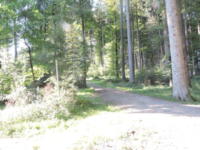
| The trail then unfolds along the ridge, sometimes through the woods, sometimes in clearings. Schoolchildren stretch their legs, as often happens in these German-speaking regions. Here, under the beeches and spruces, a few rare chestnut trees, oaks, or maples dot the landscape. |
 |
 |
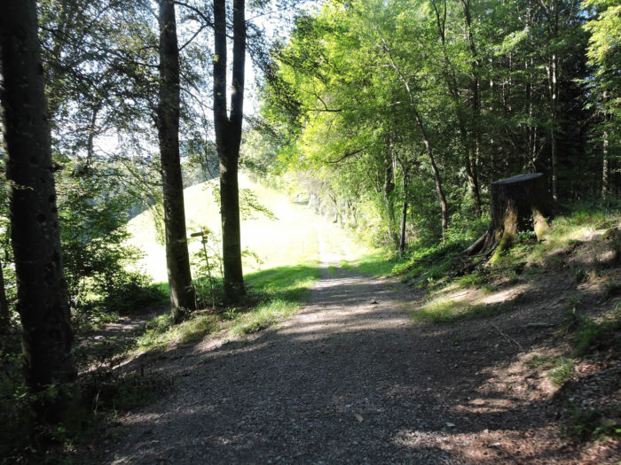
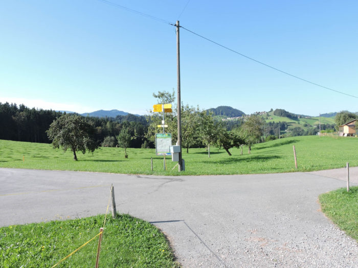
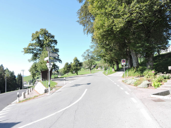
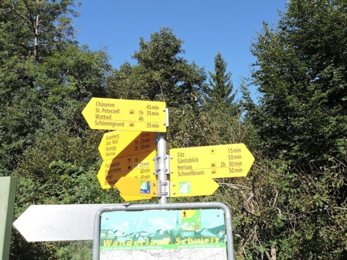
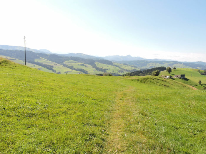
| Shortly after, a wider path emerges again, offering open horizons until it reaches Säntisblick, at crossroads. |
 |
 |
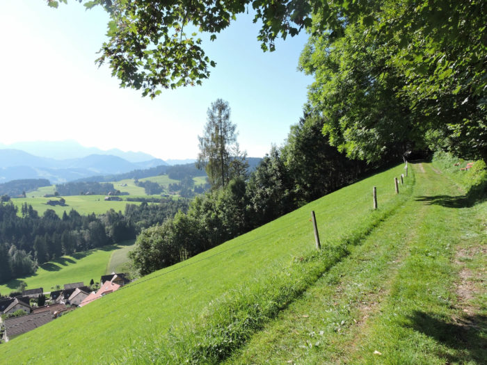
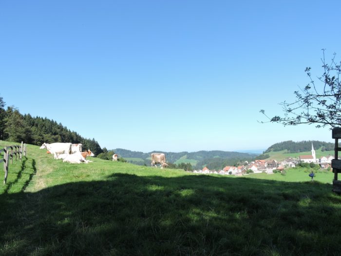
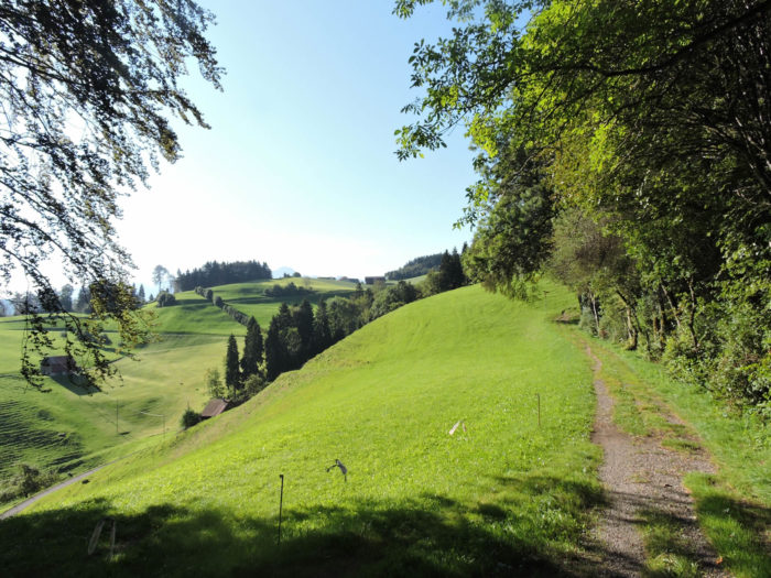
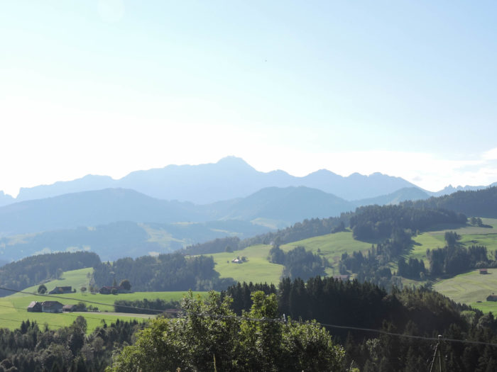
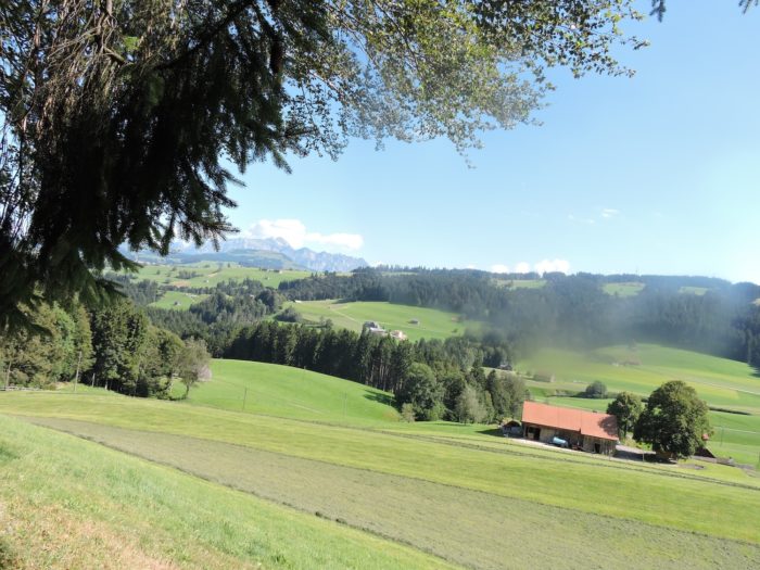
This region takes its name from the breathtaking view of the Säntis range, which dominates the Appenzell Prealps to the south. The Säntis, proud sentinel of the cantons of Appenzell and St. Gallen, rises to 2,500 meters above sea level.
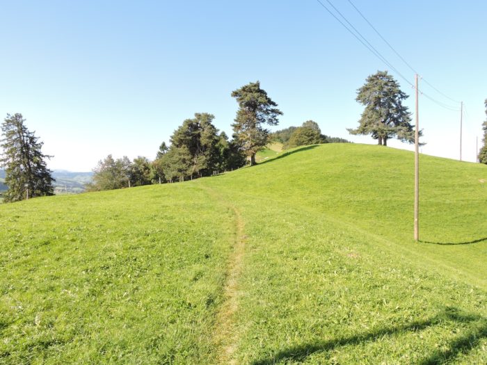
| Subsequently, the path continues its ascent along the ridge, first on beaten ground, then through pastures. |
 |
 |
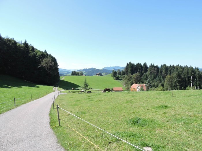
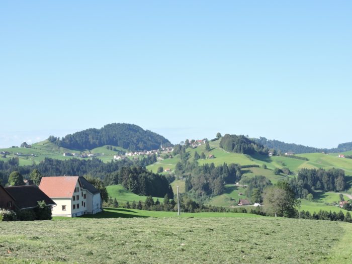
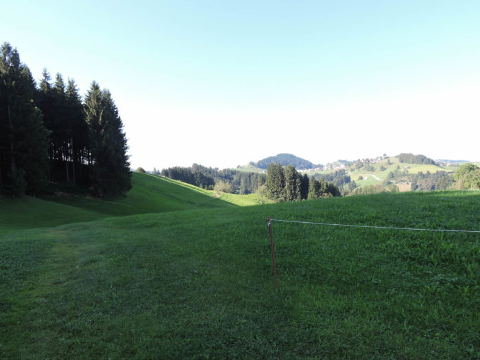
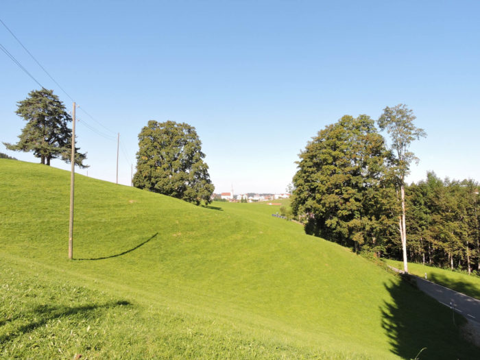
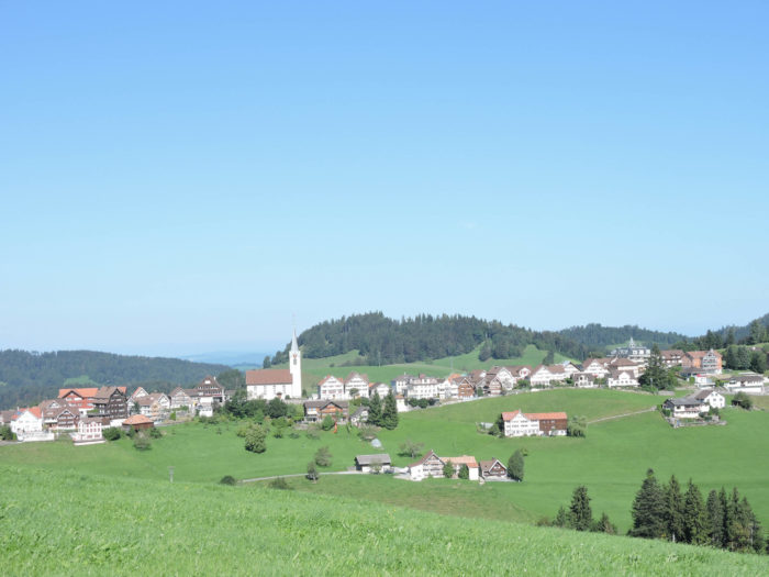
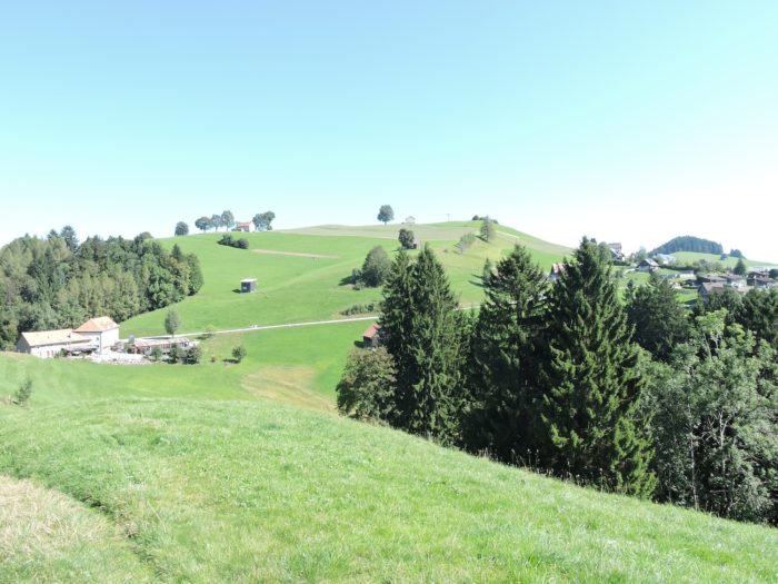
| A little higher, near a resting area, Schwellbrunn comes into view. Schwellbrunn, like Bizet’s Arlésienne, has been almost visible since the beginning of the journey but remains out of reach, perched on a neighboring hill. |
 |
 |
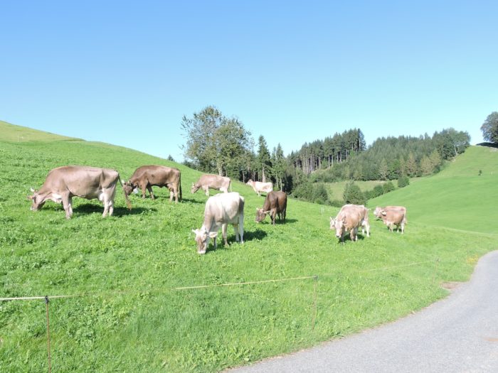
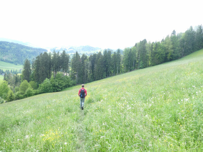
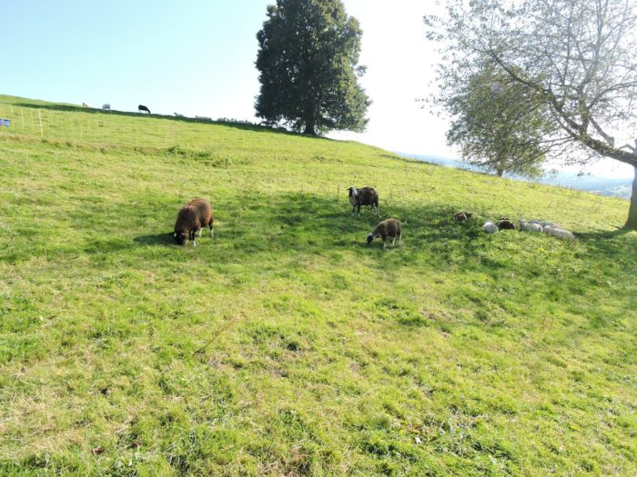
| A large part of the path unfolds here on a grassy carpet. There’s no need to describe the ecstasy felt when treading this greenery, among the peaceful Simmental cows or the Braunvieh. |
 |
 |
| Higher still, the path joins a modest asphalt road. |
 |
 |
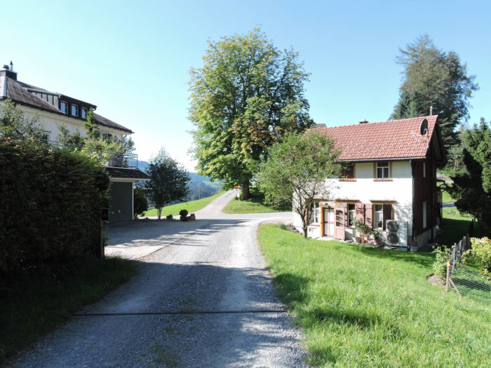
| Here, you find yourself in the place called Högg, perched at 1,000 meters above sea level, just above the village of Schwellbrunn, with its steep-roofed houses, like so many guardians of the sky. |
 |
 |
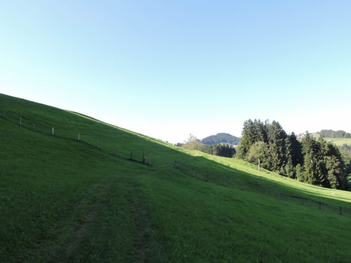
| Beyond Högg, the ascent to the ridge is not yet complete, and a trail winds through the pastures, skirting the woods with the tips of your fingers. |
 |
 |
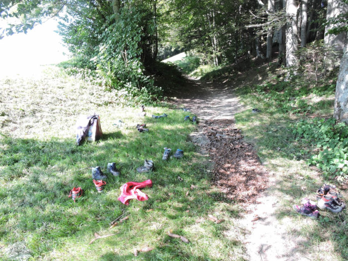
| The local schoolchildren have momentarily abandoned their shoes to frolic in the grass, or perhaps for an outdoor lesson. It’s worth mentioning. Another Sabbath day in the countryside or the woods for this school yet. |
 |
 |
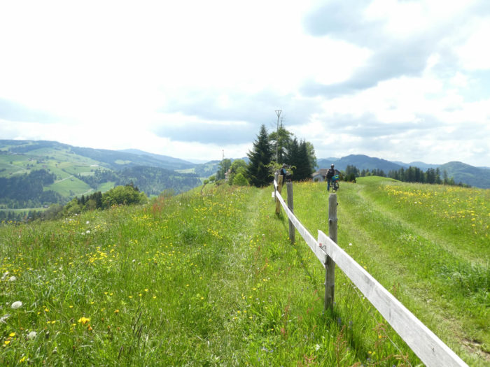
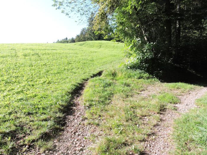
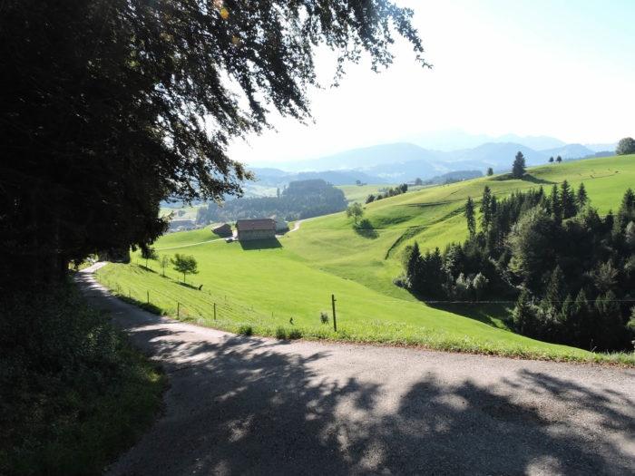
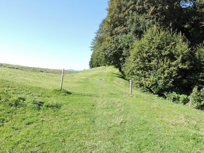
A trail then descends the steep slope of the beech forest, sometimes with inclines exceeding 25%.
| At the edge of the forest, the trail meanders through the meadows to the Hirschen inn, at the entrance of Risi. |
 |
 |
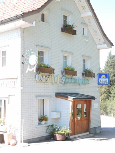
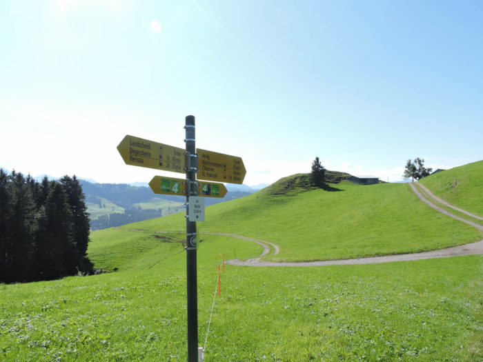
| Risi, a village with many facets, is full of hamlets. The path winds above the intersection, rising towards the heights where the Risi Foundation stands, dedicated to care and hospitality, then descends towards the Landscheide restaurant.
To spare your legs a harsh journey, you can opt for a less traveled road leading to Dicken, St. Peterzell. The slope there is moderate, and you’ll pass near the mountain restaurant Sitz, in Hintere Risi, before descending to Landscheide. Up there, on the ridge, runs the Via Jacobi. |
 |
 |
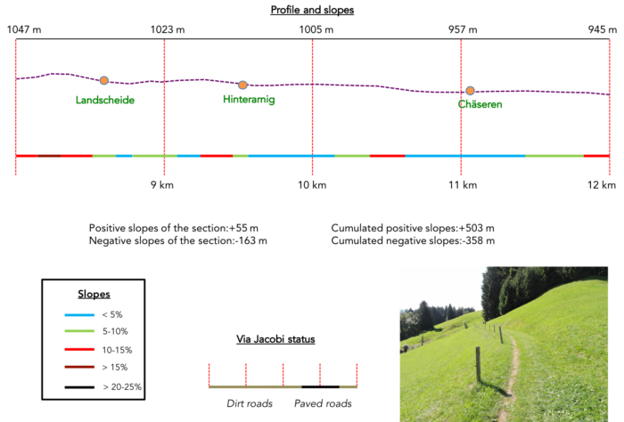
Section 3: Passing through Chäseren, a restaurant nestled in pastures and high hills
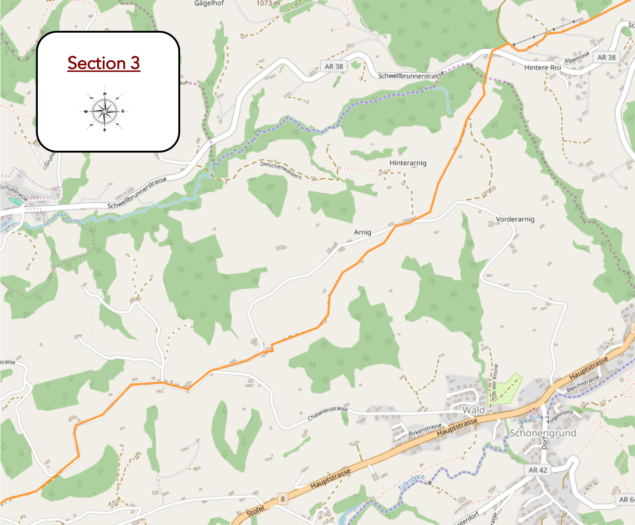
Overview of the route’s challenges: predominantly downhill, yet not without its difficulties, with occasional steep slopes, especially if you’ve ascended above Risi..
|
Whether you’ve chosen the path above Risi or opted for the alternative along the road, your journey invariably leads you to the Landscheide restaurant.
|
 |
 |
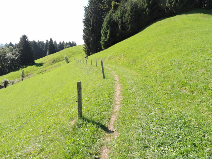
| From this junction, a path gracefully slopes up through the verdant expanses. |
 |
 |
Nature reveals its splendor here, offering solace and wonder to the soul, while farms harmoniously nestle against the hillsides.
|
 |
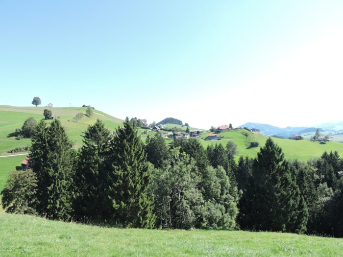 |
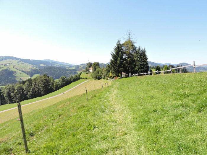
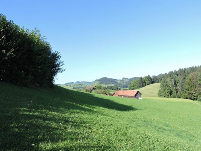
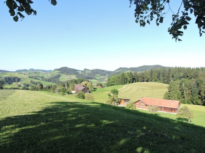
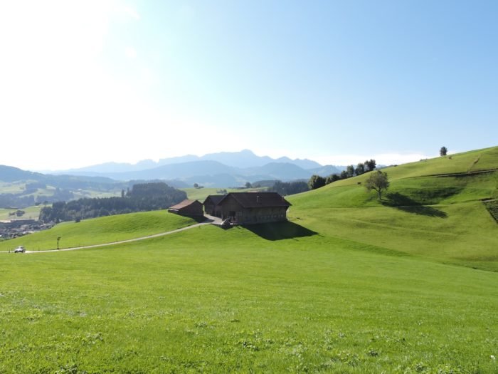
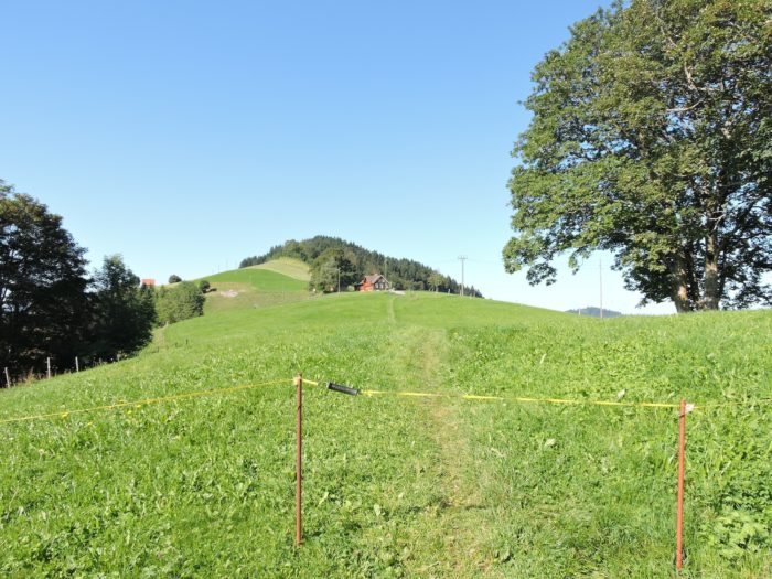
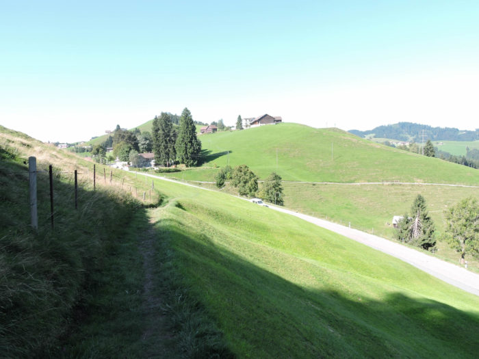
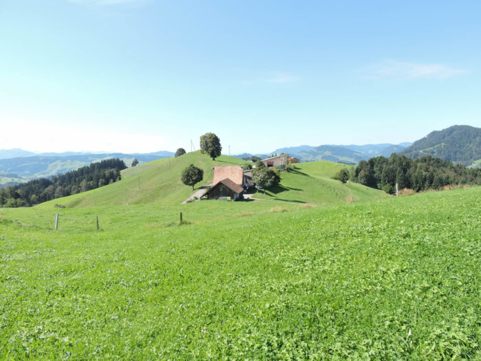
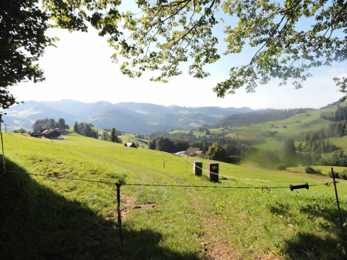
| Atop the small hill, the path reaches the place called Höchi, at an altitude of 1034 meters, where it joins a small road of earth and grass. Here, you leave the canton of Appenzell to re-enter that of St Gallen. But it matters little! The grass, ever welcoming, remains a vibrant green. As far as the eye can see stretch gentle hills adorned with groves of trees and endless pastures, where isolated farms blend so seamlessly into nature that they seem to be a natural extension of it. |
 |
 |
| The route quickly leaves asphalt behind to traverse meadows. The slope fluctuates, guiding you through a series of undulations, sometimes gentle descents, sometimes steep declines. |
 |
 |
| Crossing the meadows, the path eventually joins a narrow-paved road on the outskirts of the hamlet of Hinterarnig. |
 |
 |
| The Via Jacobi doesn’t stay on asphalt for long. Skirting the hamlet, it gracefully winds between the meadows, accompanied by the peaceful murmur of gray cows… |
 |
 |
| …before beginning another descent. It then follows for a short while a modest road serving the surrounding farms. |
 |
 |
| Next, a trail continues its descent through the meadows… |
 |
 |
| …before joining the small paved road winding up the hill. |
 |
 |
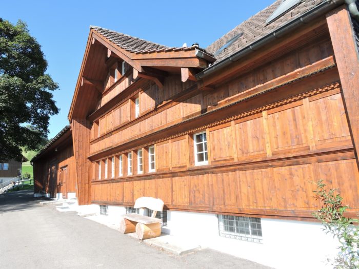
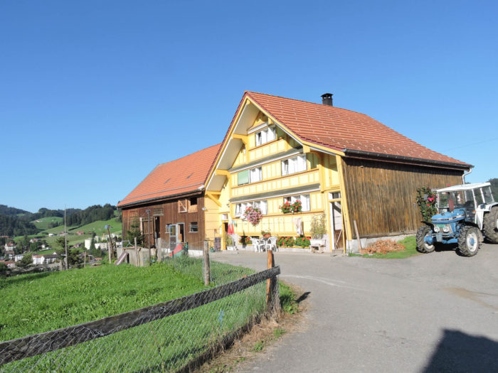
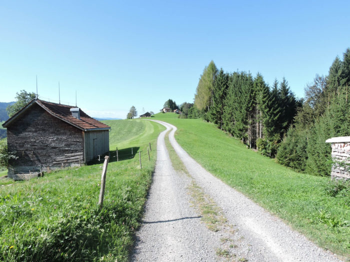
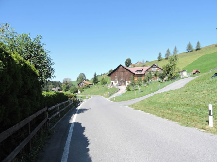
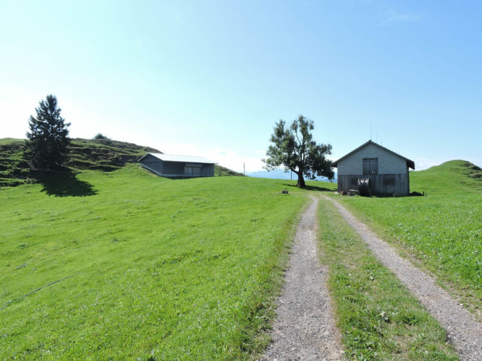
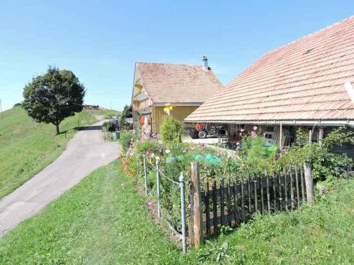
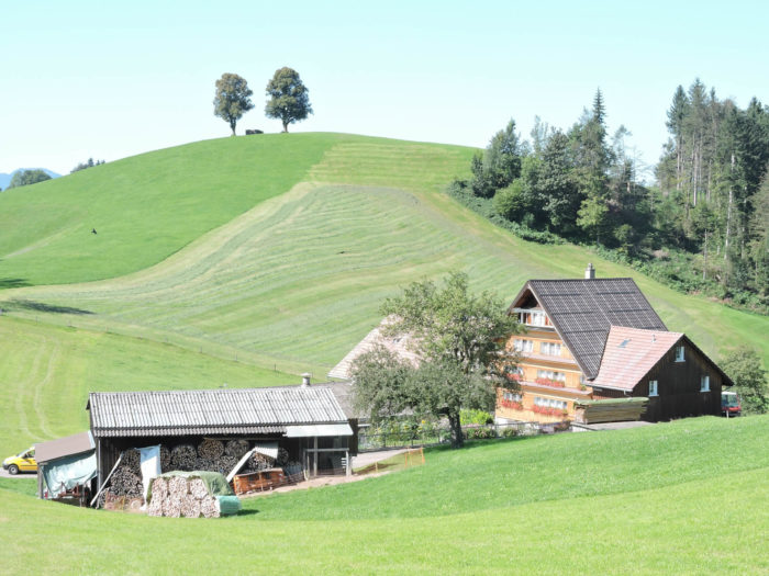
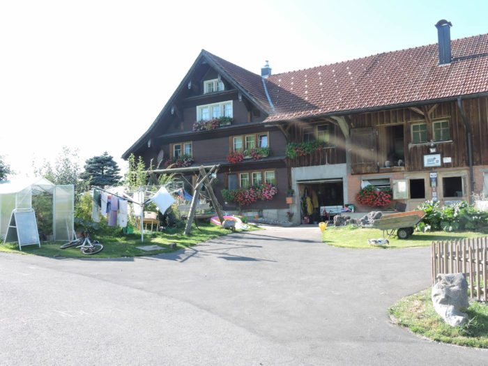
| This picturesque road traverses the charming hamlets of Lindschwendi, where magnificent farms seem frozen in time. Some, witnesses to a distant past, evoke questions about the centuries that have seen their walls rise. Others, marked by the ravages of time, display a rustic beauty, their facades adorned with wooden shingles. Here, the carefully stacked wood in front of each house seems almost sacred, so artistically arranged with regularity. Admiring these wonders shaped by the hands of ancestors would be an endless pleasure, but the pilgrim must reach their destination before nightfall. |
 |
 |
 |
 |
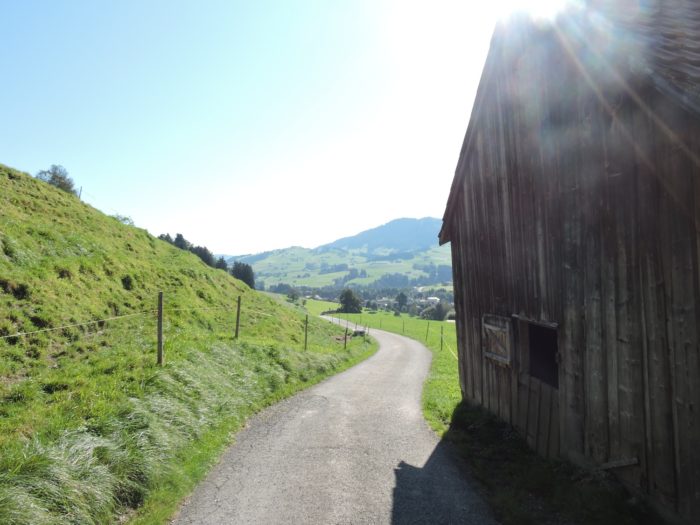
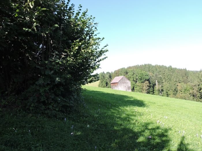
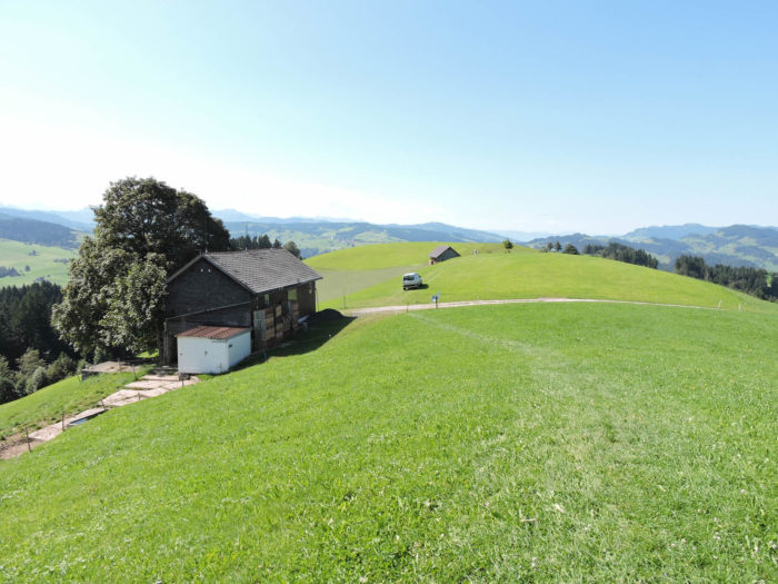
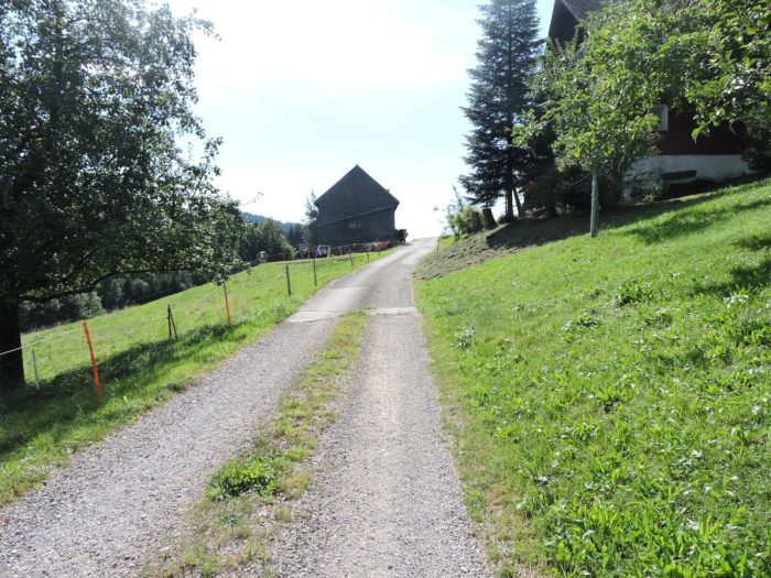
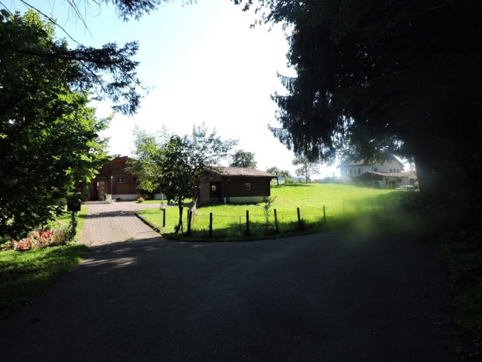
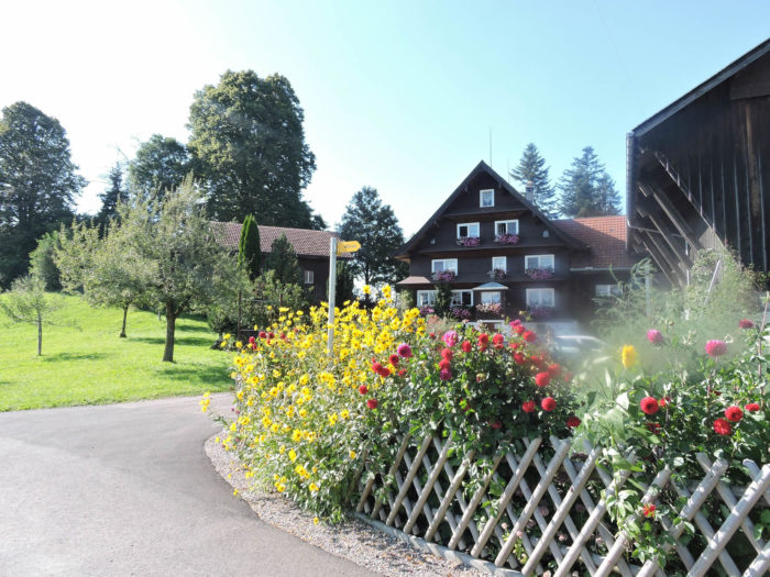
| The road then leads to the peaceful hamlet of Chäseren, an inn offering lodging and food. If you happen to pass by here, you’ll notice how these modest mountain restaurants are bustling with locals, especially since they are easily accessible by car. Throughout the week, these establishments are bustling, filling the air with delightful scents of schüblig and cheese. All that’s missing are the cheerful yodelers, perhaps belting out tunes after a few sips of Kräuter, this herbal and spicy digestif. /Yodeling, a deeply rooted tradition, resonates even more strongly in Appenzell than in Toggenburg, yet these two regions are like twin sisters. So, if you’re lucky, you might witness one of these popular festivities, whether in mountain inns or during the ascent to the alpine pastures. Talerschwingen (making a coin ring in a bowl) pairs perfectly with yodeling, creating a perfect harmony with the bowl’s hum as the ideal accompaniment. Although there’s no predetermined sound for the bowl, the one that comes closest to being appreciated is akin to the tinkling of bells. And if you don’t have a bowl, you can always try Schölleschött, a gesture reminiscent of the heavy cowbells ringing, shaken by a rhythmic movement. This practice also blends wonderfully with yodeling and Kräuter. The inhabitants of these regions love to sing, sometimes to exaltation. Verses flow, and soon everyone joins in the yodeled refrain. Thus, the inn transforms into a chorus of yodelers. Unfortunately, during our passage, the only perceptible noise was the clatter of forks at work. |
 |
 |
| From the inn, a road gently descends between the farms, winding through the surrounding countryside. |
 |
 |
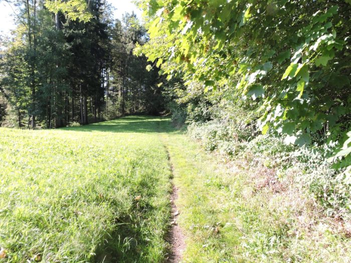
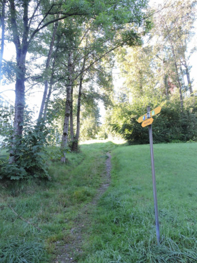
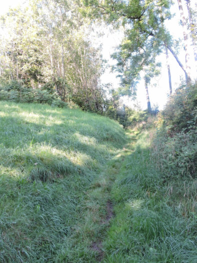
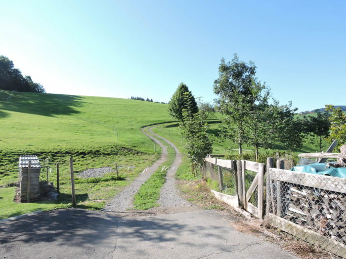
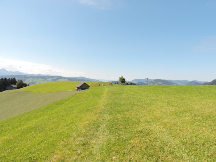
| Soon, the Via Jacobi abandons the road for a dirt path that almost flattens out as it crosses the meadows, bordering the woods. |
 |
 |
Section 4: Sankt Peterzell, the jewel of Neckertal

Overview of the route’s challenges: A true gymkhana awaits you with very steep slopes to descend into Neckertal and come out of it.
|
Through the meanders of Via Jacobi, the ancestral history of the lands it traverses unfolds. In the peaceful atmosphere of the hamlet of Aemisegg, rustic hospitality is outlined, offering refuge to the traveler. Here, a representative of these rustic « Sennenstreifen » adorns a wall, a silent narrator of immutable traditions. The peasant paintings, heritage of the lands of Appenzell and Toggenburg, resonate in echo with their Fribourg counterparts, bearing witness to the age-old art of the alpine pastures. Since the 16th century, these living frescoes, adorning woodwork and milking pails, capture the very essence of rural life. The ascents to the alpine pastures and the autumnal transhumances, portrayed by the brushes of Sunday artists, exalt the pride of the breeders, revealing the fruit of their labor through the meanders of art. Thus, the soul of the countryside pours forth in paintings, even inviting itself into bourgeois homes, perpetuating the heritage of the valleys. In the Fribourg dialect, these works are baptized « poya », evoking in two syllables the magnificence of alpine ascents. The epic of the alpine pastures, immortalized on the facades of farms, takes root in the early 19th century, adding a new dimension to the artistic richness of the Fribourg lands.
It would be impious not to reveal the details of these ancestral rituals, from lofty ascents to festive autumnal descents, whether they take place in the eastern, Bernese, Fribourg, or Valais cantons. Thus, for souls in search of wonder, let us sketch a fleeting tableau, an alpine dance captured in the ephemeral. Each canton, each valley reveals its procession of customs, a kaleidoscope of habits and traditions weaving the living fabric of the alpine pastures. To the rhythm of spring, in the golden meadows, goats and cows line up, ready for transhumance, under the guidance of shepherds, resplendent masters of ceremony. The bells of the herds, like the notes of a symphonic orchestra, resonate in the pure air of the peaks, accompanied by the songs of the « armaillis », skilled guardians of tradition. The procession, led by the owner of the land and his faithful canine companion, winds along steep paths, punctuating its journey with welcome stops in ancient inns, offering the dazzled traveler the sweet echo of a generous yodel. At the autumnal transhumance, the scene repeats itself, like an ode to the generous nature.
|
 |
 |
|
 |
 |
| The descent towards the Berg location begins, offering an incessant ballet of bucolic scenery. |
 |
 |
| However, here lies a treacherous trap, challenging the innocence of the walker. In hay-cutting times, the path hides beneath the cloak of cut hay, confusing the most experienced. A fanciful sign, posted below, misleads the steps, inviting a sharp descent towards an illusory dead end. Only a keen vigilance will uncover the mystery, revealing the true trail. Ah, the deceptive signs! Ah, the countryside enigmas that line our roads! But at the turn of attention, the path by the woods unveils itself, with the golden gleam of the yellow signs, faithful guides of the pilgrimages. |
 |
 |
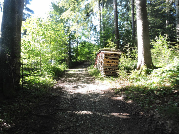
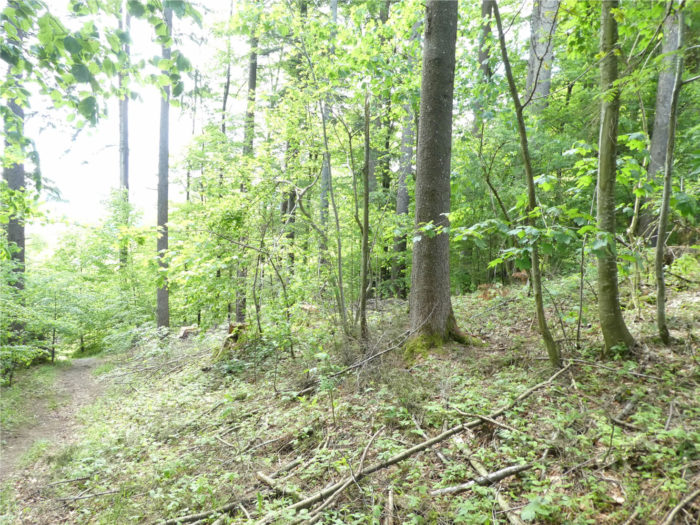
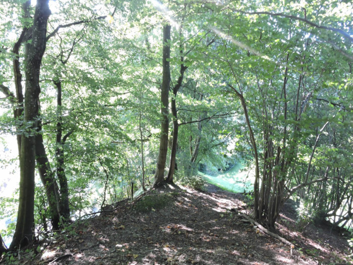
| In the intimacy of the undergrowth, the path wanders, caressing the bark of maples and beeches, a melodious murmur in the greenery. |
 |
 |
| Suddenly, the horizon clears, and a paved road emerges, like an invitation to continue the adventure. |
 |
 |
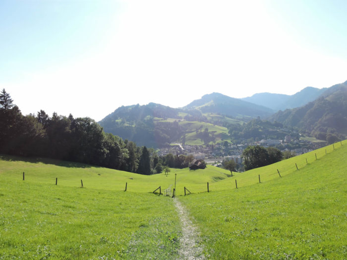
| At the village gates, wonder takes root, announcing the discovery of a preserved gem. |
 |
 |
| The slender silhouette of the bell tower emerges, offering to the eye the symbol of unwavering faith |
 |
 |
| And there, the majesty of the Benedictine cloister bursts forth, a haven of serenity in the heart of the valley. |
 |
 |
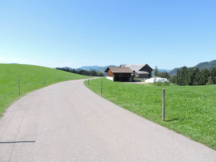
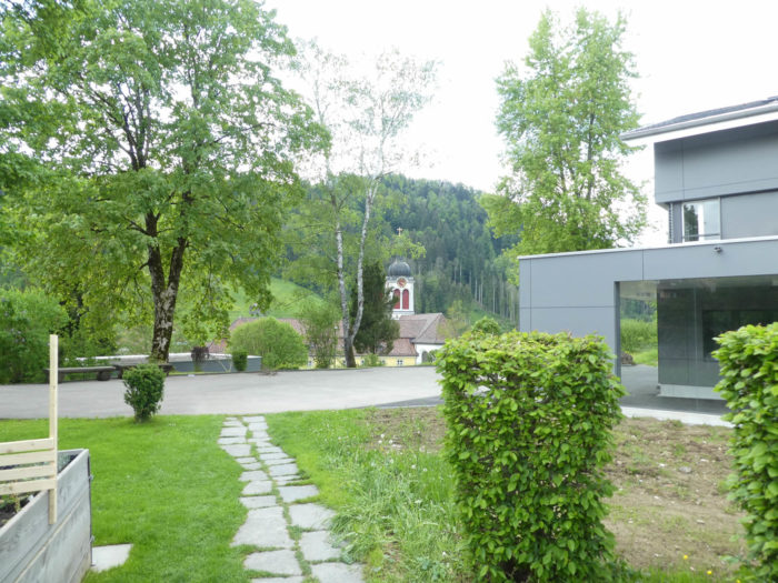
| The picturesque dwellings, with their lofty gables adorned with baroque paintings, weave the living tapestry of an exceptional village. Once, Sankt Peterzell, a bastion on the Way of Compostela, housed a Benedictine monastery, a secular witness to rooted spirituality. Since the 12th century, the monks imprinted their wisdom there, shaping the soul of the place until the threshold of the 19th century. Today, the baroque church, dedicated to St. Peter and St. Paul, resonates with the murmurs of shared faith. Witness to a bygone era, it was long the symbol of harmonious coexistence, where Catholics and Protestants mingled under one roof. A singular heritage of the lands of St. Gallen and Thurgau, this « Simultankirche » embodies the spiritual richness of a plural region. Thus, over the centuries, the murmurs of faith have risen, shaping the contours of a shared identity, anchored in the ancient stones.
In the heart of the priory, the House of Silence stands, a sanctuary of tranquility where souls in search of respite find refuge. A place of contemplation, this serene haven, managed by a benevolent hand, welcomes pilgrims and travelers in a peaceful setting. For here, at the crossroads of paths, destinies intersect, weaving the living fabric of a spirituality in motion. It is also here that another variant of the Way of Compostela, which starts from Feldkirch in Austria and passes through Appenzell, joins the main path through Switzerland. |
 |
 |
| In Sankt Peterzell, the Via Jacobi crosses the Necker, winding through the enchanting valleys of Neckertal. |
 |
 |
| A steep trail climbs, challenging the steep slope, like a challenge to the fearless steps. |
 |
 |
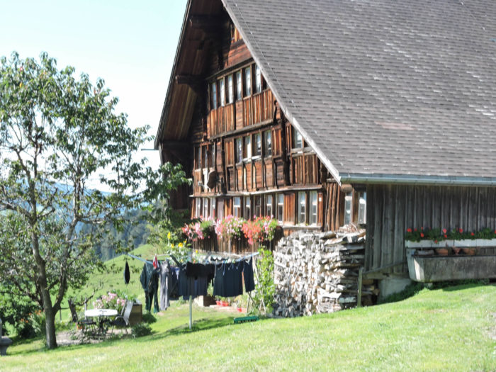
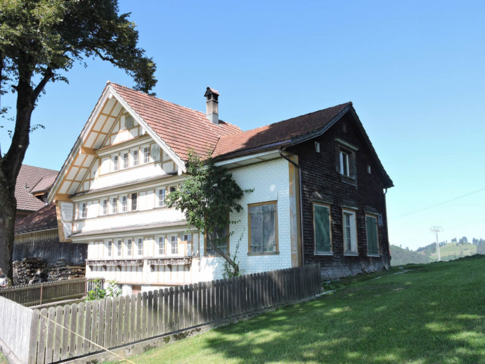
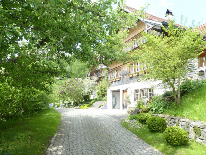
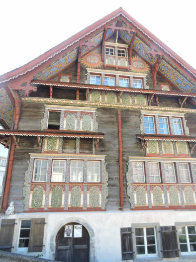
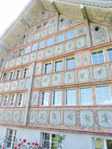
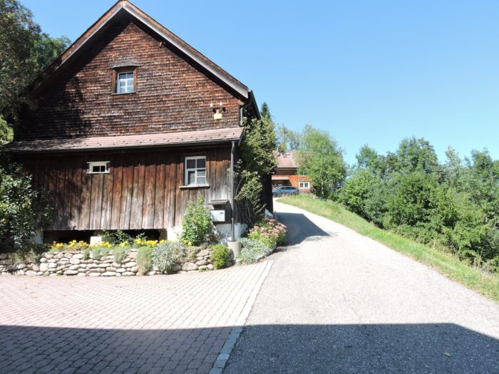
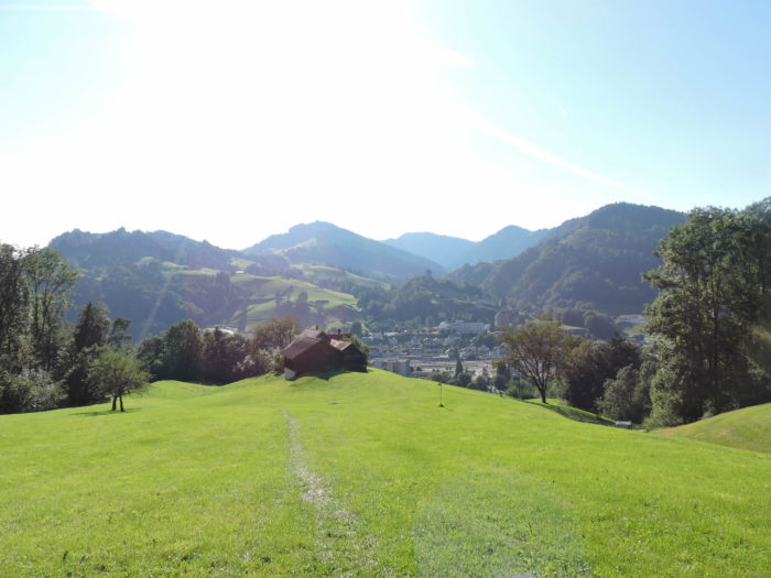
At the edge of the trail, the majestic house Zum Bädli stands, a relic of a bygone era, testament to the generosity of the old ones, who once offered shelter to pilgrims. It may well be the most beautiful old house in Switzerland.
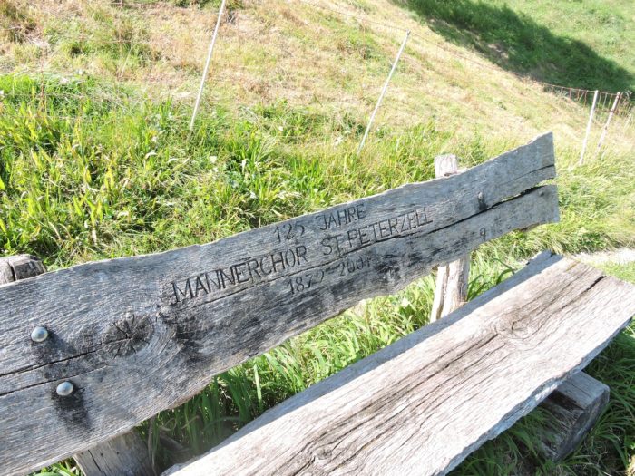
| Here, the robust chants of men’s choirs resound, living emblems of an immutable tradition. |
 |
 |
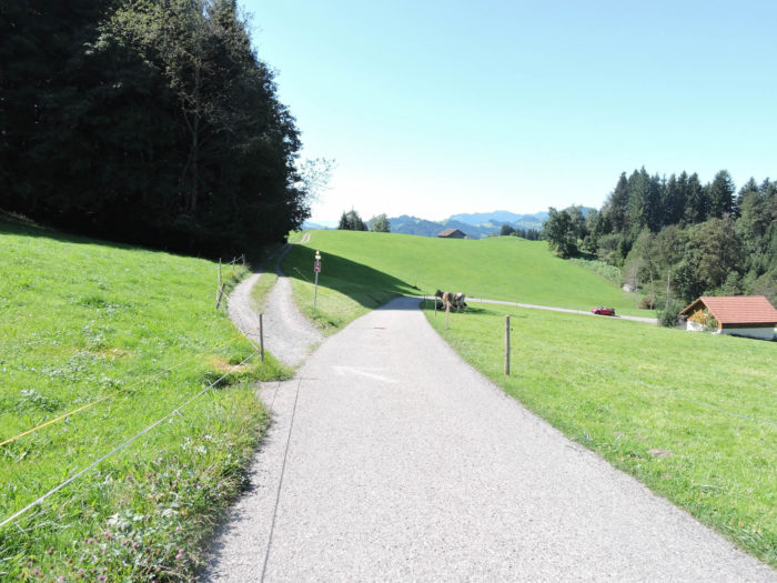
| Further on, a path stretches into the heath, where the farms of Hofstetten spread their rustic charm, celebrating the authenticity of the fertile lands. |
 |
 |
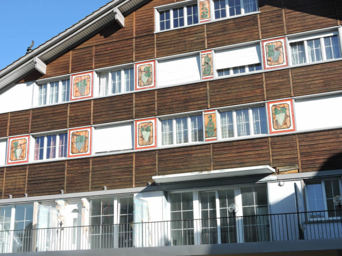
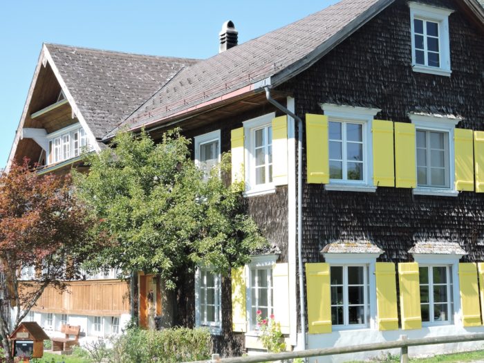
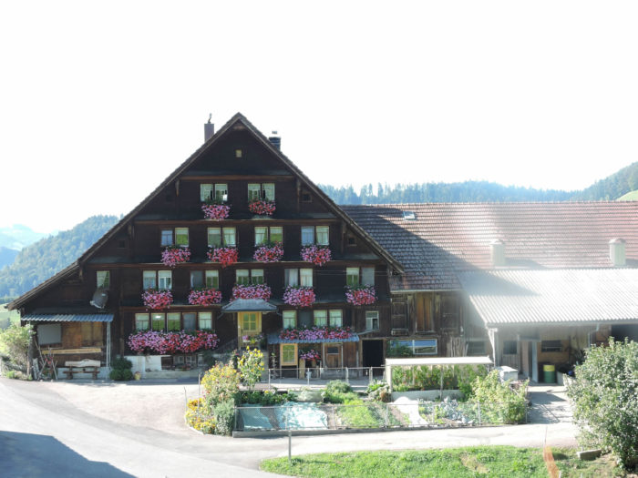
| In eastern and central Switzerland, half-timbered farms and flower-decked balconies, like set jewels, tell the living history of the countryside. Geranium reigns supreme in German-speaking Switzerland, as do the numerous gnomes slumbering in gardens and lawns. |
 |
 |
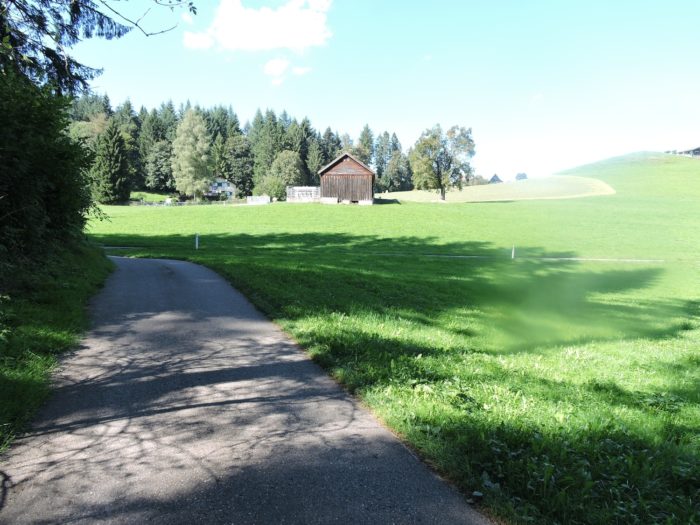
| Beyond the hamlet, an asphalted road descends towards the meanders of the valley, like a ribbon of asphalt caressing the green banks. |
 |
 |
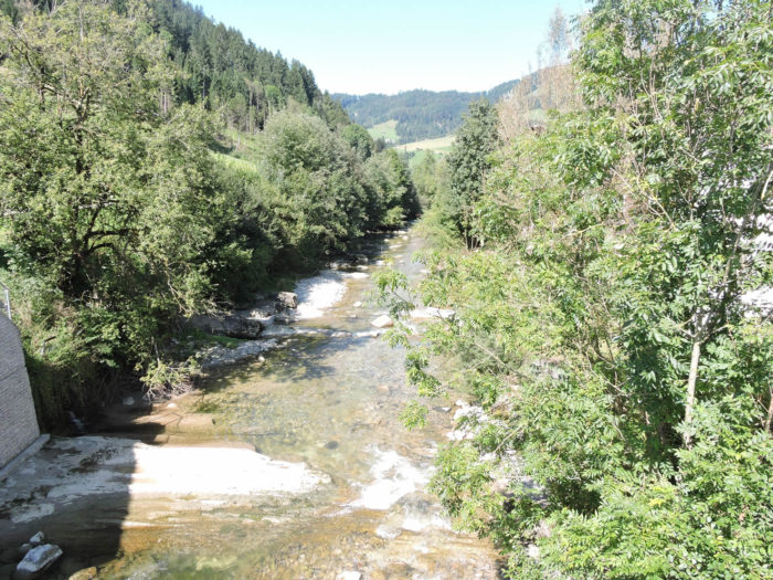
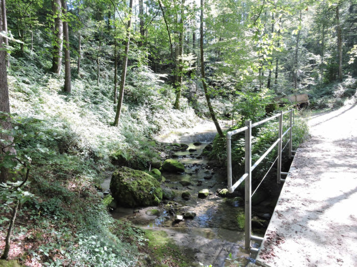
| There, in the hollow of the dale, the murmur of the Schlattbach stream accompanies the walker. |
 |
 |
Section 5: A few more yoyos in the Toggenburg countryside
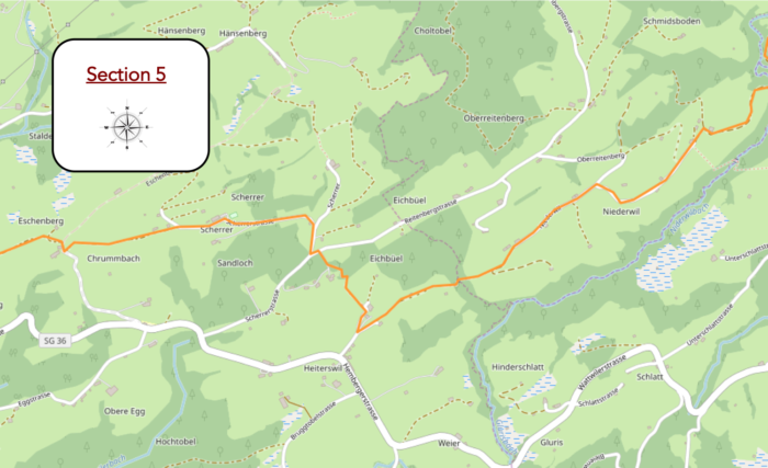
Overview of the route’s challenges: The gymkhana continues, often with rather steep slopes, almost always uphill.
|
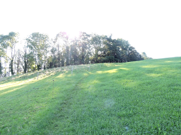
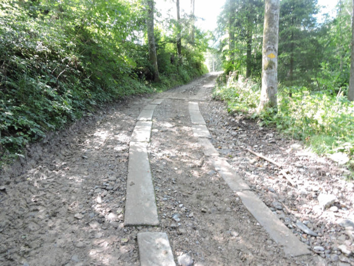
Then, a path climbs clumsily from the murmurs of the stream, winding through the undergrowth of deciduous trees. Here, the imposing concrete slabs, carefully placed on the rocks, seem less intended to facilitate the progress of walkers and pilgrims than to prevent any bogging down of agricultural machinery.
|
 |
 |
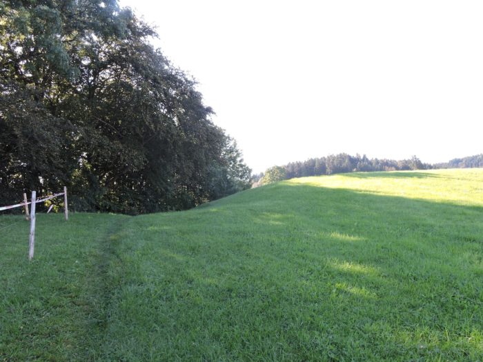
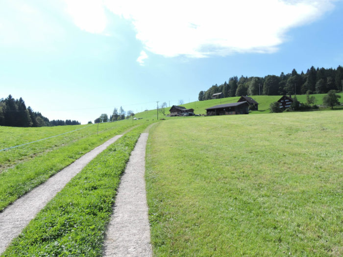
| Emerging from the woods, the path stretches into the grass, still ascending, meandering extensively between the solitary farms of Niederwil. |
 |
 |
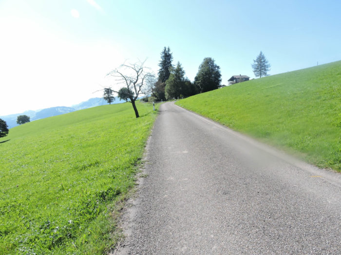
Higher still, the asphalt reveals itself again, on a daring slope.
|
 |
 |
| Further on, the trodden earth reappears in the meadows, punctuated by isolated farms here and there. |
 |
 |
| Then, the Via Jacobi wanders through the twists and turns of Niederried. Here, the blurry boundaries of hamlets merge. A trail descends into the grass, through a grove of spruces. |
 |
 |
| Crossing the Niderwillbach stream in the heart of the beech wood, it climbs steeply again through the meadows. |
 |
 |
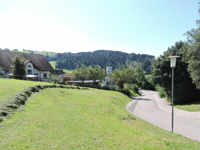
| Shortly after, the Via Jacobi reaches Heiterswil. A modest gourmet inn stands nearby, on the artery connecting Sankt Peterzell to Wattwil. There, the path takes a sharp turn towards the woods. |
 |
 |
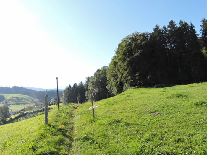
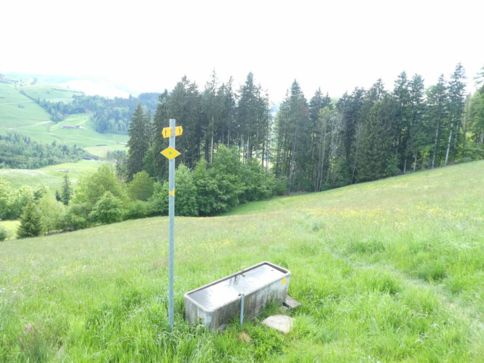
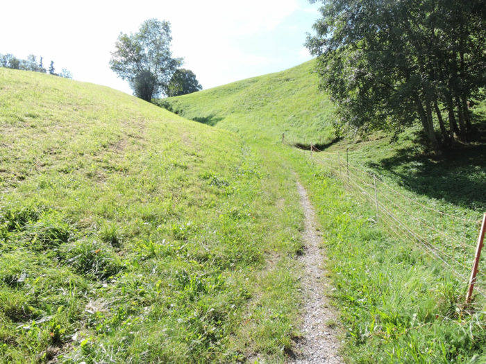
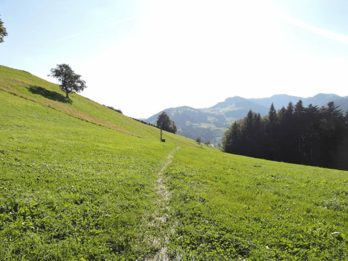
| Through the pastures, the trail sometimes disappears during haying, leaving travelers to their own discretion. No local guide to point the way. Luckily, a red bench stands at the edge of the forest, like a benevolent sentinel. One might naively think that a bench doesn’t stand just for aesthetics. Indeed, it is here that the route is traced. At the top of the meadow, a steep ascent awaits the brave. |
 |
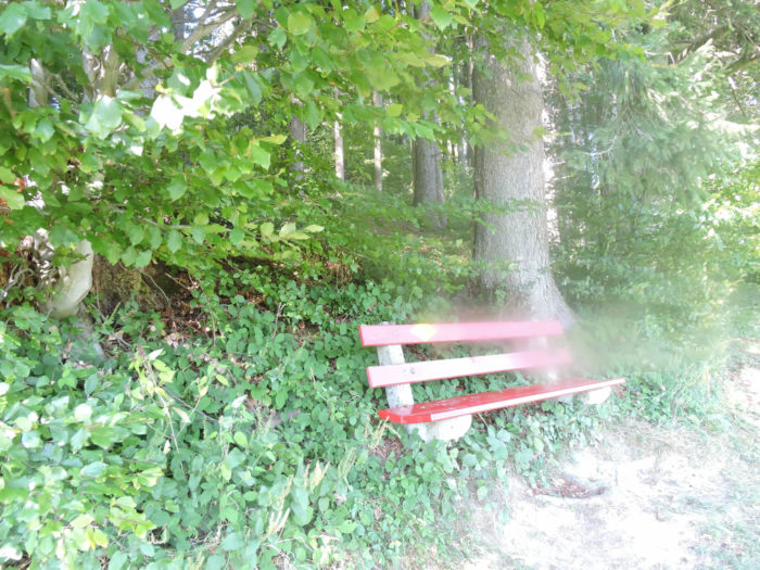 |
A well-deserved break on the bench to catch your breath and contemplate the rolling panorama.
| The path becomes steep again at the first steps of the undergrowth, then softens, passing by some modest vacation homes. |
 |
 |
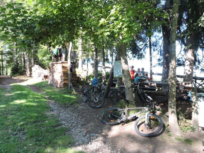
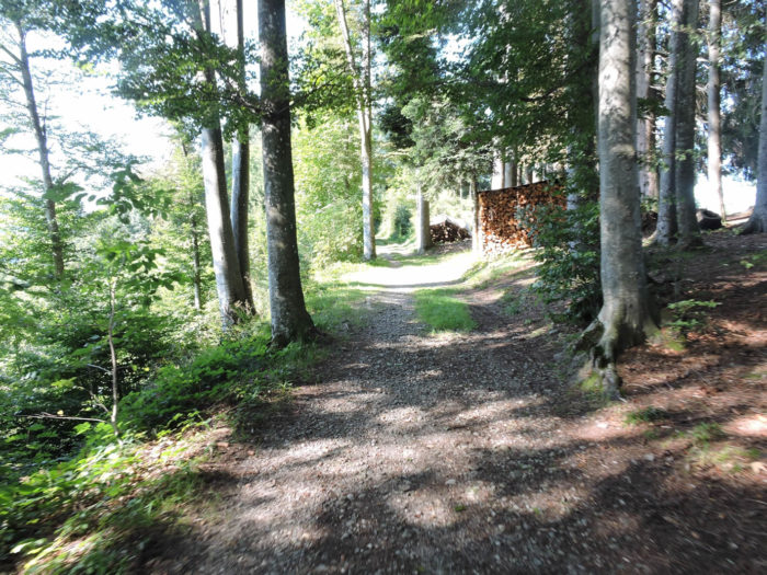
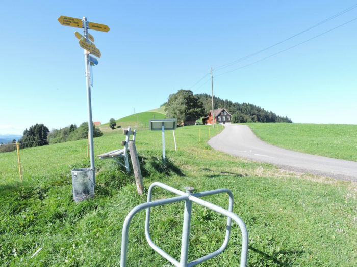
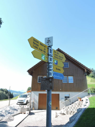
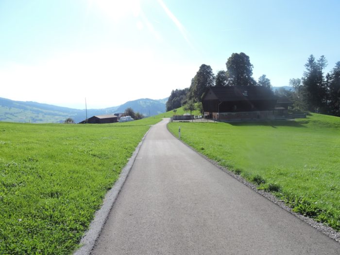
| A paved road then winds towards the top of the ridge, at Scherrer, towards the coveted Churfisten restaurant. |
 |
 |
It is worth noting here that this mountain restaurant is also popular with locals. At first glance, boredom seems banished from these places.

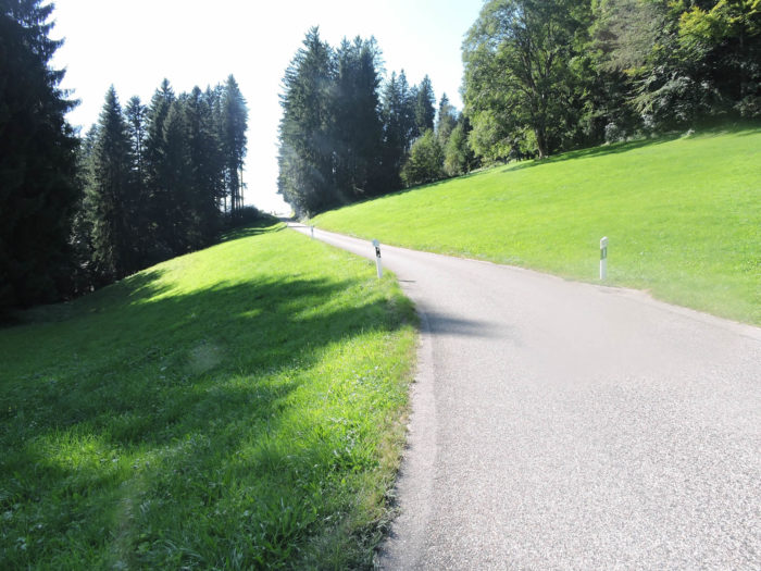
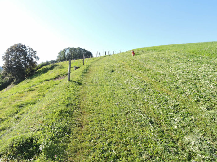
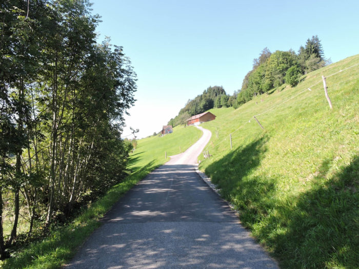
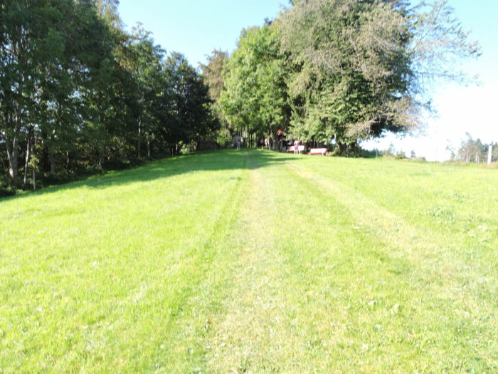
| The road climbs slightly again at the top of the hill, before giving way to a winding path through the pastures. |
 |
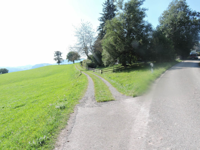 |
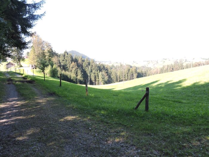
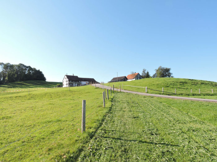
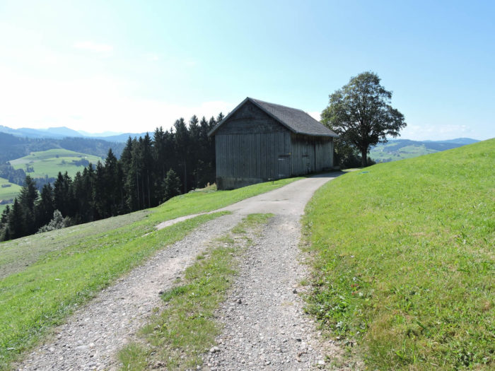
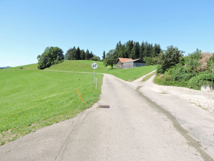
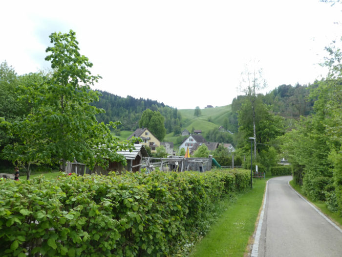
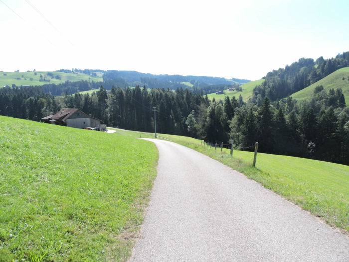
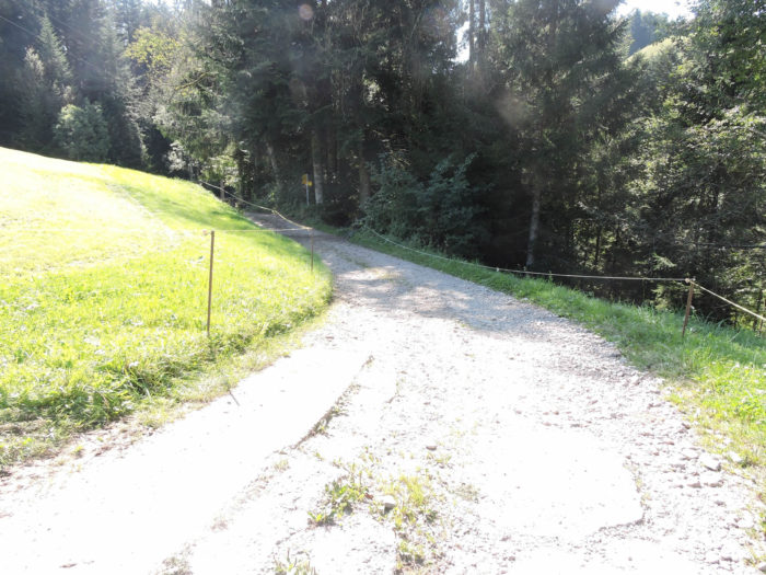
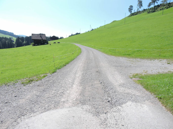
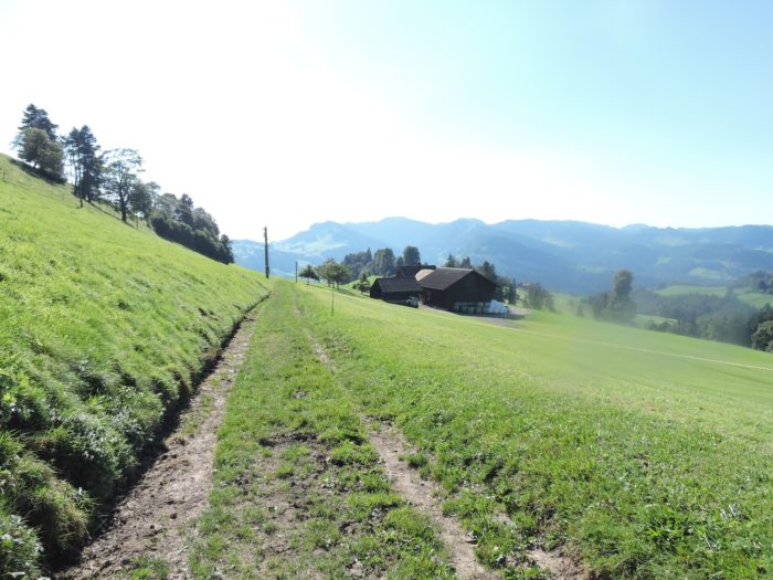
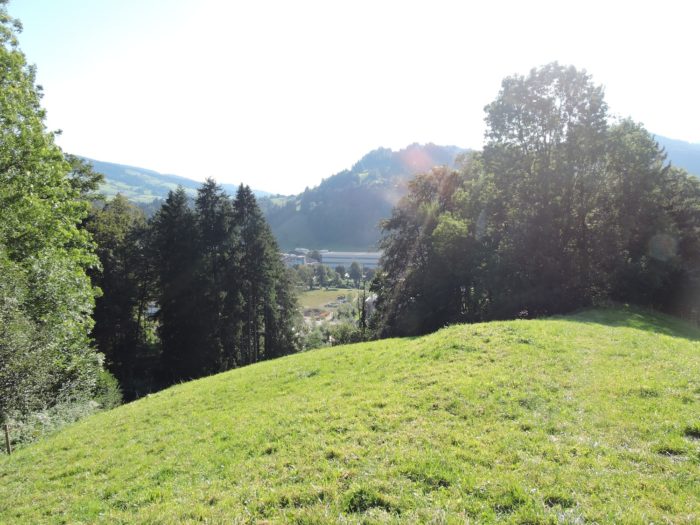
| Shortly after, a dirt road descends towards the modest dwellings of Eschenberg. Facing you are the hills and modest peaks of the Toggenburg. |
 |
 |
Section 6: A slide for Wattwil
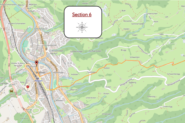
Overview of the route’s difficulties: a very steep descent of over 300 meters in elevation towards Wattwil.
|
From the verdant summit of Eschenberg, the descent towards Wattwil unfolds like a promise of vertigo and discovery. Echoing celestial whispers, the route gracefully winds, forsaking the austere asphalt to nestle in the gentle folds of undulating meadows. Wattwil, an enigma rooted in the earth, emerges in the distance, a constellation of red roofs edged with light. The tranquility of nature caresses the soul of the traveler, even as their knees, accomplices to the increasing gradient, express their dismay.
|
 |
 |
|
Around the bend of this enchanting descent, eyes drink in the striking image of ancestral farms, guardians of time and immutable traditions.
|
 |
 |
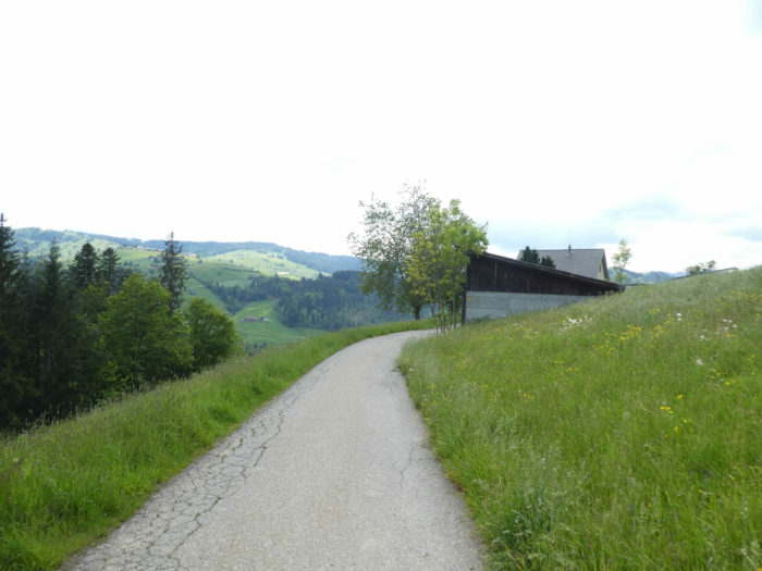
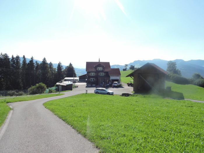
| Lower down, at a farm, the grass soon gives way to the primacy of asphalt underfoot. The soul of the landscape dances between past and present, between modernity and eternity. |
 |
 |
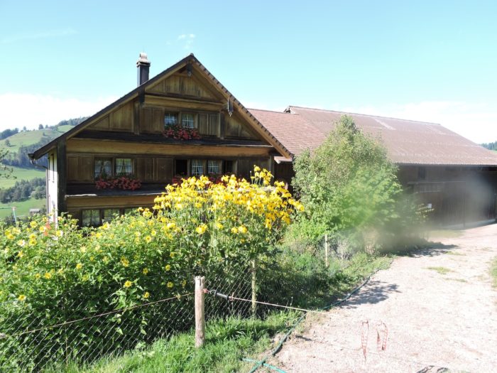
Further down, the farms of Schwantleregg stand like adorned divinities in their finest floral attire, offering the intoxicating spectacle of their flower-adorned facades, like jewels nestled in a green setting, to the beholder.
|
 |
 |
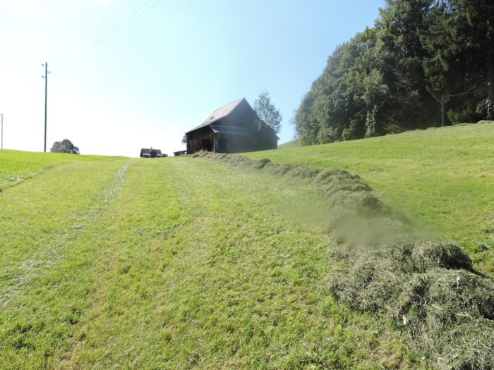
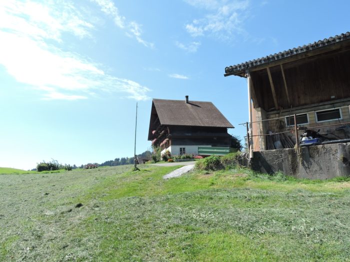
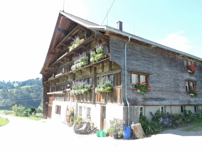
Then, like a familiar melody, the grass reclaims its rights, unrolling the green carpet to an imposing farm, a solitary sentinel. A symphony of geraniums blooms on every floor, offering the dazzled gaze a lesson in harmony between man and nature.
|
 |
 |
| Perhaps the most beautiful farm encountered thus far on the journey, with a profusion of geraniums on every floor. This residence, a jewel of a glorious past, embodies the quintessence of traditional architecture, where wood and stone intertwine their destinies in a perpetual reinvention. Where others see walls, windows, and roofs, the traveler discerns the timeless narrative of a civilization rooted in the nurturing earth. |
 |
 |
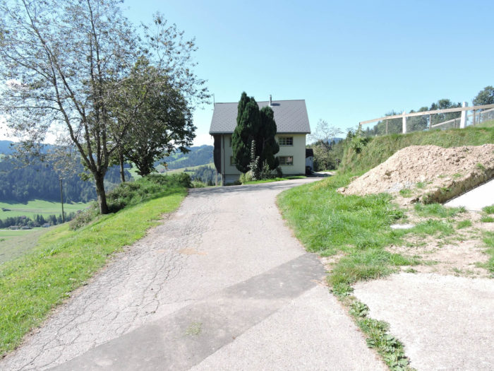
| Beyond the farm, the Via Jacobi, like a capricious muse, then follows the winding path of a small paved road, offering the walker a respite before plunging again into the dizzying twists of the landscape. |
 |
 |
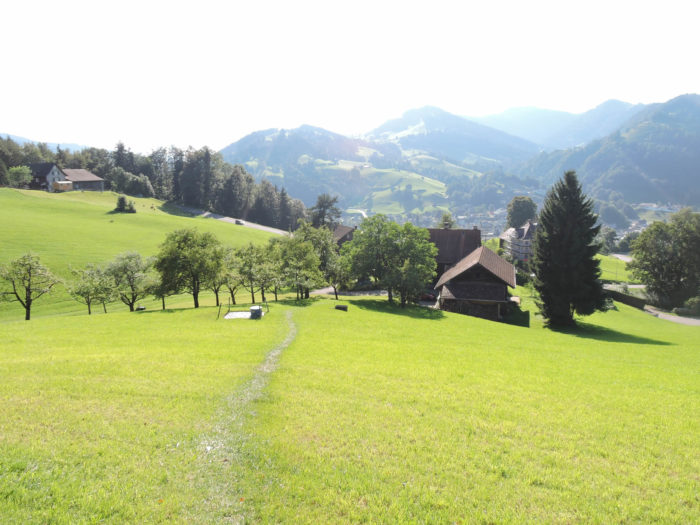
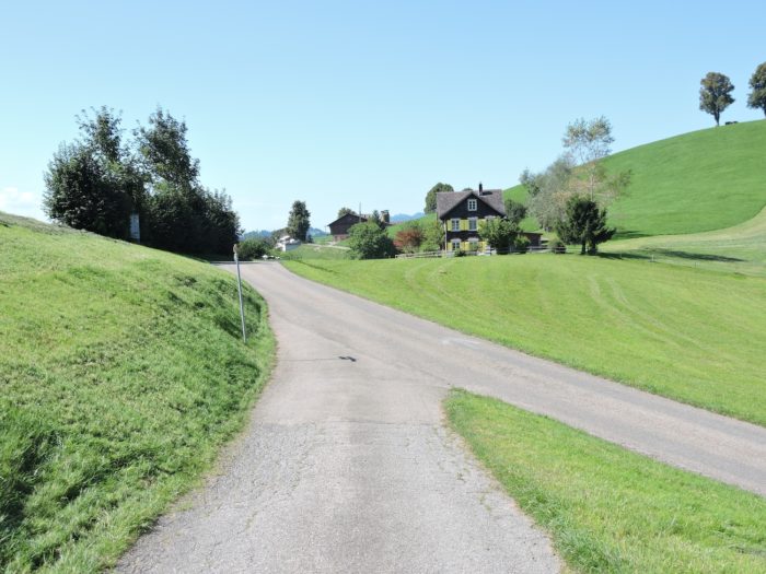
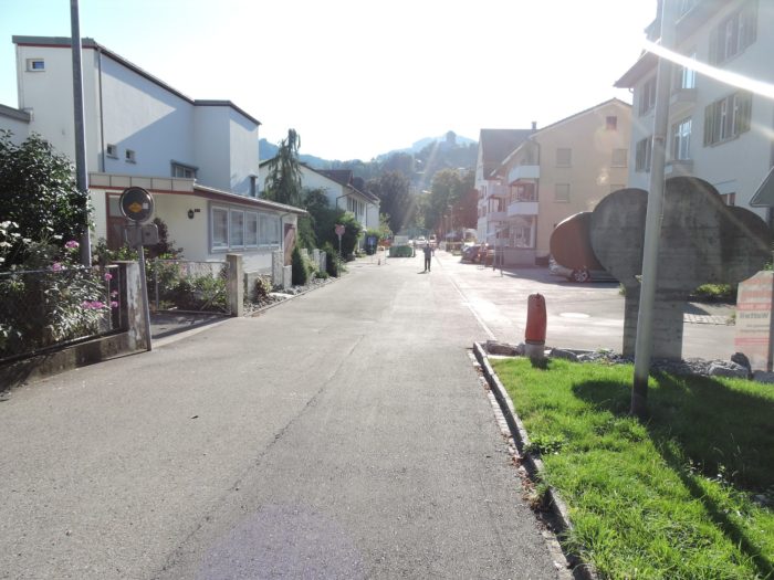
| Further down, it is again the grass that awaits you. And it is in this perpetual waltz between hills and valleys, between shadow and light, that Wattwil appears on the horizon, like an enchanting mirage awakening in the gentle nature. The town, like a jewel polished by time, gradually emerges from the backdrop, offering the traveler the ultimate reward of their journey. |
 |
 |
| The further the descent intensifies, the more the familiar silhouette of Wattwil grows, blooming like a lotus in the heart of the fertile plain. Each step towards the abyss reveals more of the tranquil grandeur of the sleeping town. |
 |
 |
| The route soon approaches the hamlet of Tüetlisberg. |
 |
 |
| Then, the descent steepens, as if to better exalt the intoxication of vertigo. In this free fall into the unknown, in the meadows, the traveler savors every sensation, offering their soul to the exhilarating breath of adventure. |
 |
 |
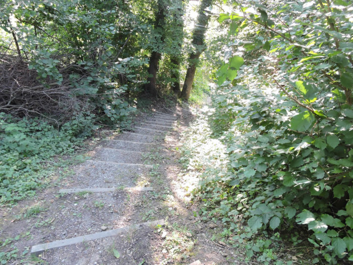
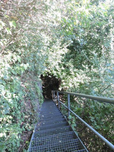
| Approaching the plain, a forest takes the place of the meadows, but the slope hardly varies, amidst beech trees and fallen leaves. In the conspiratorial shade of dense woods, the steep slope seems to defy the laws of gravity, inviting the walker to a frenzied dance between majestic beech trees and crunching dead leaves. It must be a real pleasure to slide here on the wet grass. At well over a 30% gradient. Thankfully, stairs, like helpful hands, offer a welcome respite in this dizzying descent. |
 |
 |
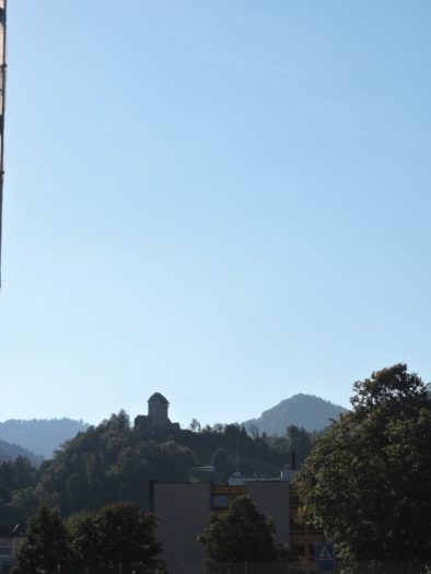
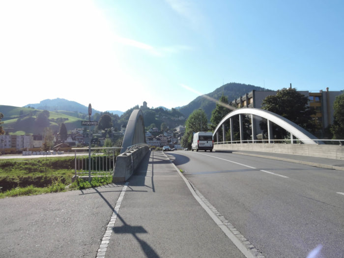
| And finally, like a sailor returning to port after long months at sea, the walker emerges from the forest, leaving behind the protective shadow of trees to embrace the light of Wattwil. High above, far from the peaceful shores of the Thur, the castle stands as a vigilant guardian, watching over the city. |
 |
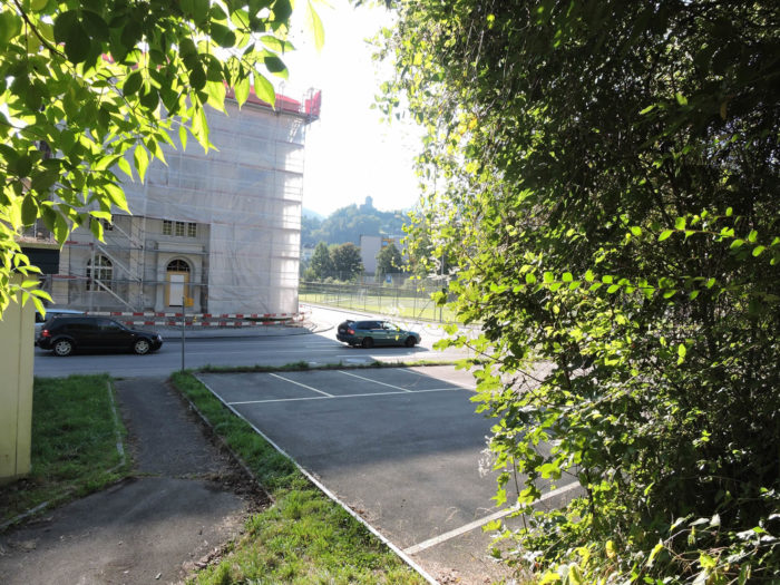 |
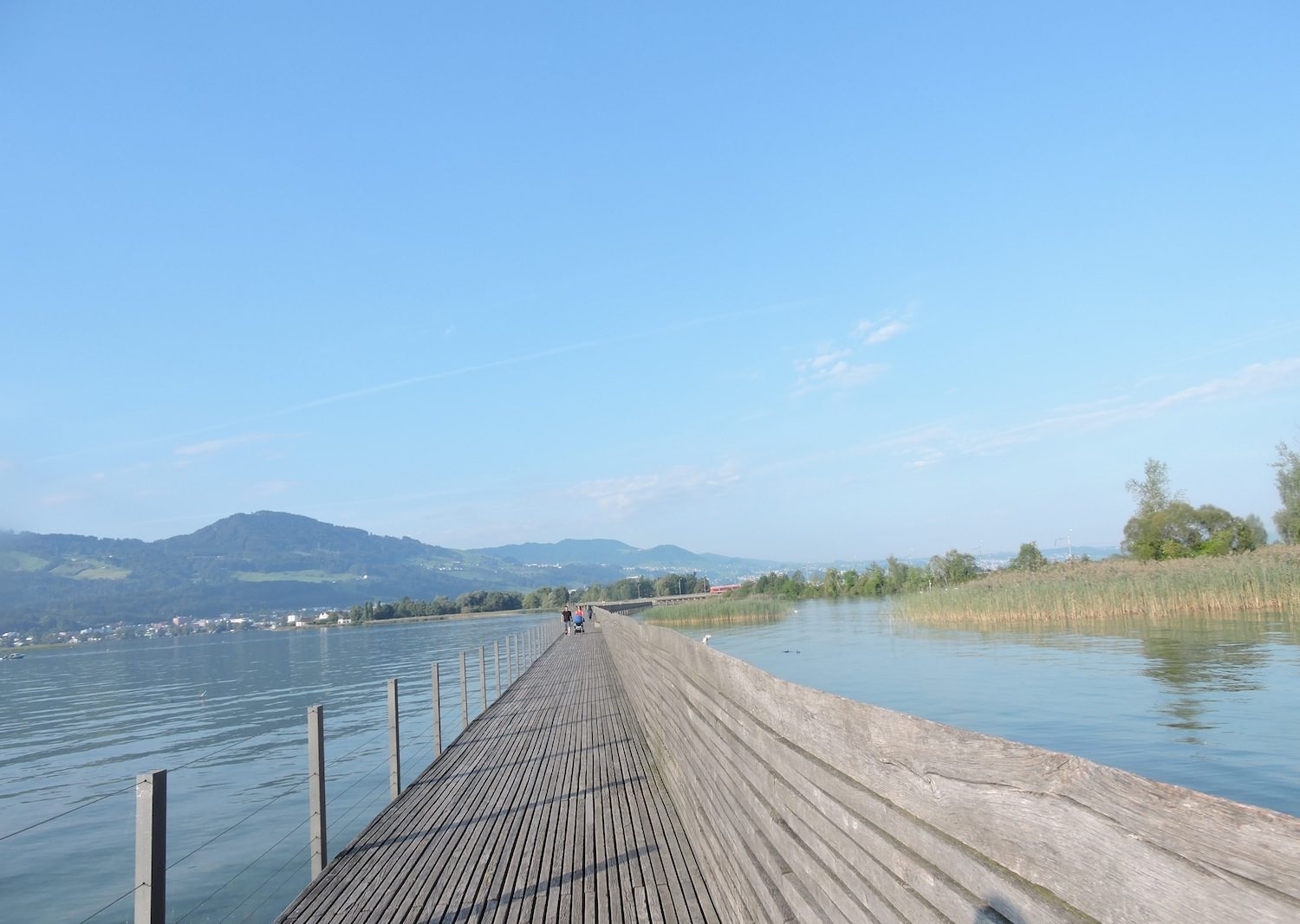
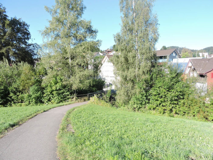
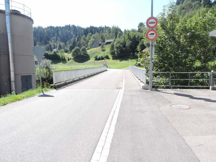
The Via Jacobi, faithful companion of the journey, completes its wild course by bridging the tumultuous waters of the Thur, offering the traveler a final nostalgic glance. Wattwil reveals its charms along the water.
|
 |
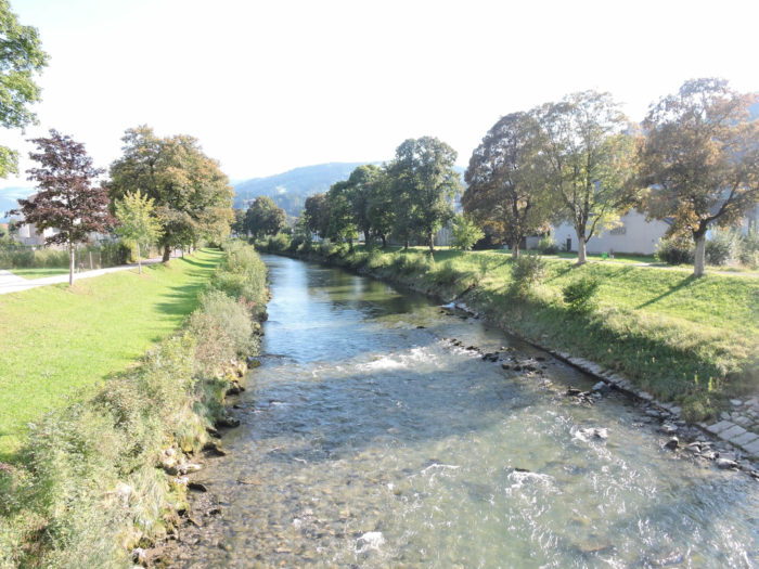 |
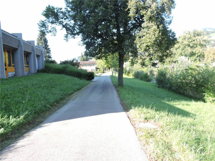
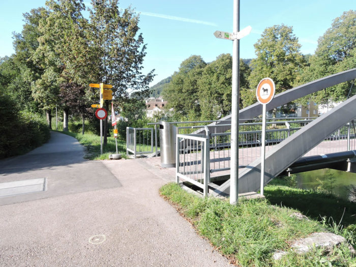
| Here, the Via Jacobi follows the Thur upstream to a small pedestrian bridge. Further on, you have to turn left to reach the town center. . |
 |
 |
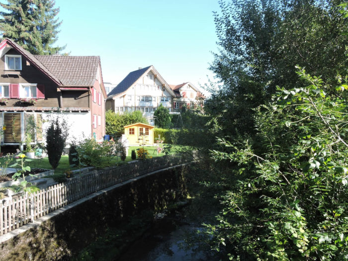
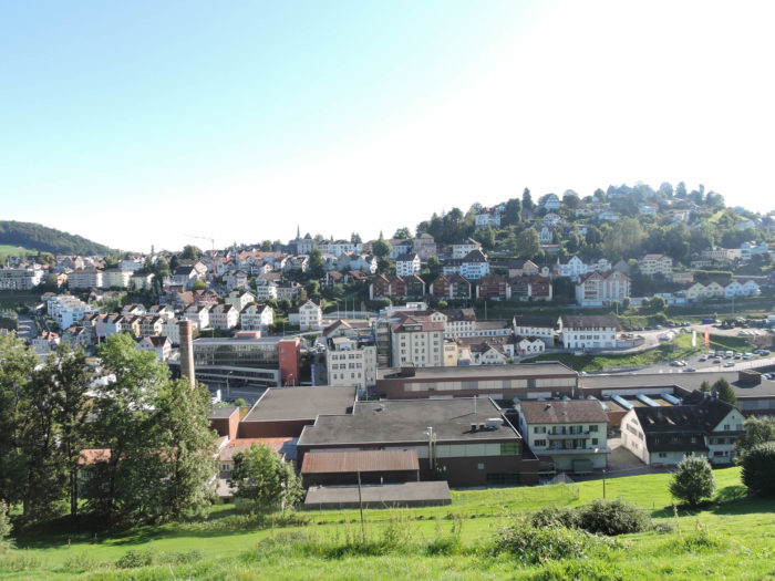
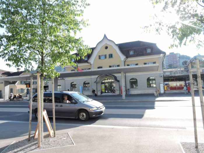
| Wattwil (8,400 inhabitants) is the largest town in the Toggenburg district, in the canton of St. Gallen. Life revolves around the main road axis, near the train station. |
 |
 |
Accommodation on Via Jacobi
- Sébastien Martin, Dorf 42, Schwellbrunn; 071 351 54 51; Guestroom, dinner, breakfast
- Ruedi & Priska Frehner, Am Stein, Schwellbrunn; 071 351 72 76; Guestroom, dinner, breakfast
- B&B Gästehaus Rössli, Schwellbrunn; 071 489 23 75; Guestroom, dinner, breakfast
- Gästehaus Fuchsacher, Egg79, Schwellbrunn; 071 371 11 66; Guestroom, dinner, breakfast
- Gasthaus Kreuz, Egg79, Schwellbrunn; 071 351 42 14; Guestroom, dinner, breakfast
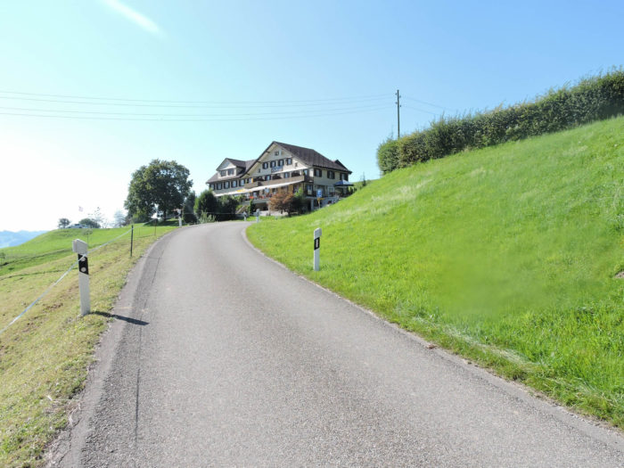
- Hôtel Garni Traube, Brisig 209, Schwellbrunn; 071 350 00 35; Hotel
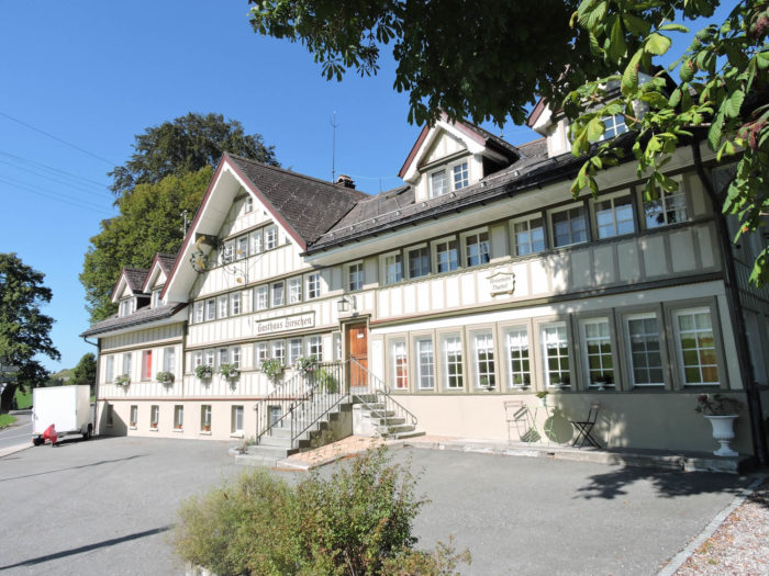
- Gästehaus Hirschen, Risi; 071 571 30 38; Hotel, dinner, breakfast
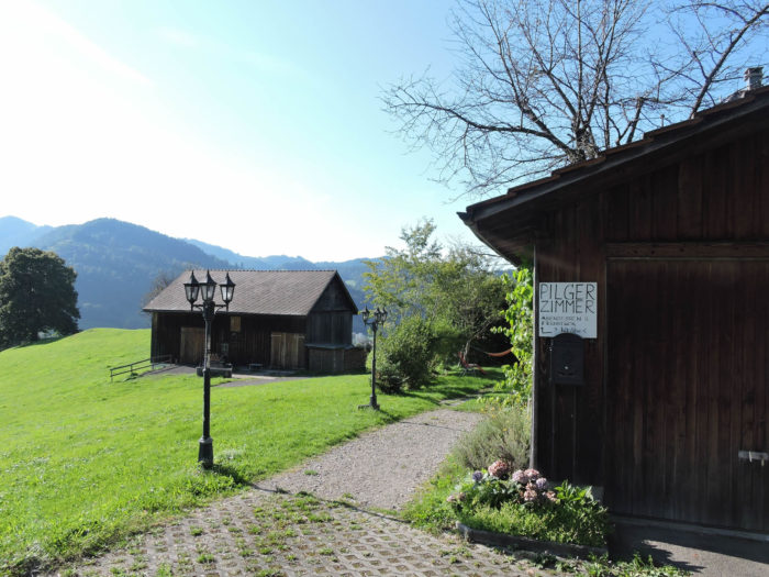
- Restaurant Landscheide, Landscheid; 071 351 23 75; Guestroom, dinner, breakfast
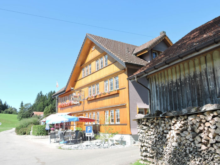
- Hôtel & Restaurant Chäseren, Schönengrund; 071 361 17 51; Hotel, dinner, breakfast
- Wohngemeinschaft Margrit Knaus, Aemisegg; 071 377 11 42; Guestroom, dinner, breakfast
- Gasthaus Hörnli, Bunt 15, Sankt Peterzell; 071 377 11 30; Guestroom, dinner, breakfast
- B&B Kutzelmann, Oberer Baumgarten 23, Sankt Peterzell; 071 377 11 04; Guestroom, dinner, breakfast
- Landgasthaus Schäfle, Dorf 20, Sankt Peterzell; 071 377 12 20; Hotel, Dinner, breakfast
- Landgasthof Rössli, Dorf 27, Sankt Peterzell; 071 377 18 00; Hotel, Dinner, breakfast
- Hôtel Churfirsten, Scherrer; l071 988 12 84; Hotel, dinner, breakfast
- Daniel Raillard, Näppis-Ueli Strasse 16, Wattwil; 071 988 28 61; Accueil jacquaire, breakfast
- Pilgerherberge Fritsche Lärchenrain 5, Wattwil; 071 988 46 30; Guestroom, breakfast
- Esther Bruderer, Wisentalstrasse 2, Wattwil; 071 988 45 41; Guestroom, dinner, breakfast
- Fazenda da Esperanza, Klösterli, Wattwil; 071 985 04 50; Guestroom, dinner, breakfast
- Hôtel Schäfle, Wilerstrasse 6, Wattwil; 071 988 34 04; Hotel, dinner, breakfast
- Restaurant National, Näppisuelistrasse 10, Wattwil; 071 988 11 21; Hotel, dinner, breakfast
- Hôtel-Restaurant Löwen, Ebnaterstrasse 55, Wattwil; 071 988 51 33; Hotel***, dinner, breakfast
It is easy to find accommodation on this stage. There are many places to take a break or have a meal along the route. Upon arrival in town, you will find all the necessary shops. However, it is advisable to book in advance as a precaution.
Feel free to add comments. This is often how you move up the Google hierarchy, and how more pilgrims will have access to the site.
|
 |
Next stage : Stage 3: From Wattwil to Rapperswil |
|
 |
Back to menu |