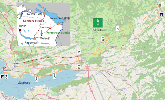
From Toggenburg to Lake Zürich
DIDIER HEUMANN, ANDREAS PAPASAVVAS
We divided the course into several sections to make it easier to see. For each section, the maps show the course, the slopes found on the course, and the state of the route (paved or dirt roads). The courses were drawn on the « Wikilocs » platform. Today, it is no longer necessary to walk around with detailed maps in your pocket or bag. If you have a mobile phone or tablet, you can easily follow routes live.
For this stage, here is the link:
https://fr.wikiloc.com/itineraires-randonnee/de-wattwil-a-rapperswil-par-la-via-jacobi-4-puis-par-la-via-jacobi-84-31794868
|
Not all pilgrims are necessarily comfortable using GPS or navigating routes on a mobile device, and there are still many areas without an internet connection. For this reason, you can find several books on Amazon dedicated to the major Via Jacobi 4 route, which runs through the heart of Switzerland and over the Brünig Pass. The first guide leads pilgrims through the German-speaking part of Switzerland up to Fribourg, while the second continues through French-speaking Switzerland to Geneva. We have also combined these two books into a compact, lighter, and highly practical version. While the descriptions have been slightly condensed, they remain detailed enough to guide you step by step along the way. Recognizing the importance of traveling light, this latest edition has been designed to provide only the essentials: clear and useful information, stage by stage, kilometer by kilometer. The stages have been carefully adjusted to ensure accessibility and alignment with available lodging options. These books go beyond simple practical advice. They guide you kilometer by kilometer, covering all the crucial aspects for seamless planning, ensuring that no unexpected surprises disrupt your journey. But these books are more than just practical guides. They offer a complete immersion into the enchanting atmosphere of the Camino. Prepare to experience the Camino de Santiago as a once-in-a-lifetime journey. Put on a good pair of walking shoes, and the path awaits you.
|
|
 |
If you only want to consult lodging of the stage, go directly to the bottom of the page.
Today, the journey, akin to a lament weaving its verses through the peaks and valleys, initiating its slow decline from Toggenburg to the serene shores of Lake Zurich, culminates in a welcome stop in Rapperswil, the ultimate refuge of the canton of St. Gallen. Tomorrow, your steps will turn towards the enchanting lands of the canton of Schwyz, on the other side of the calm waters.
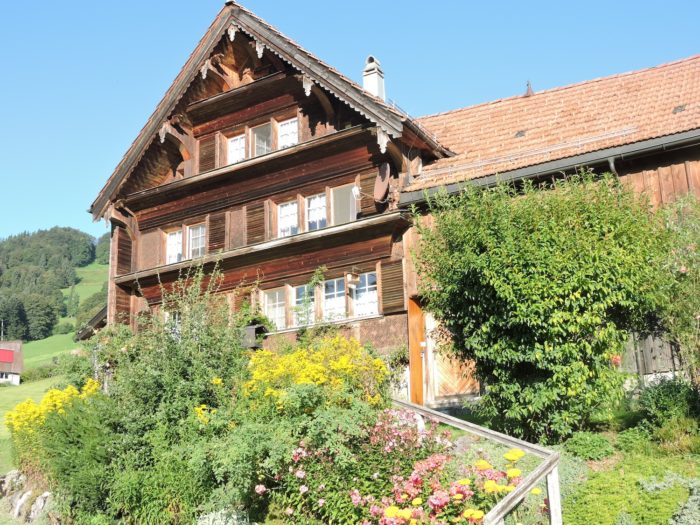
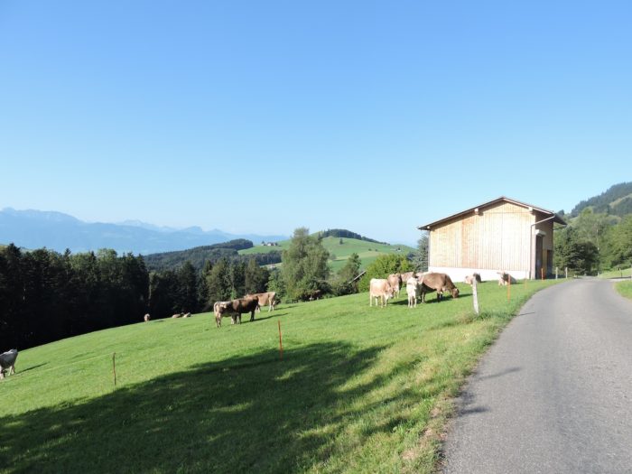
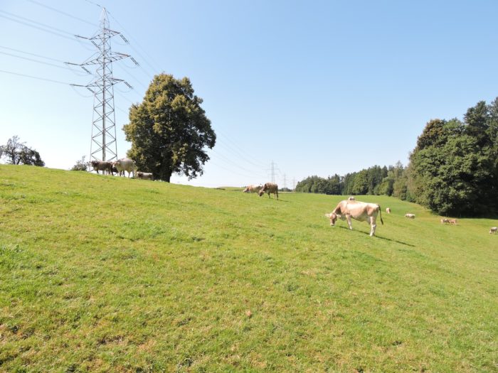
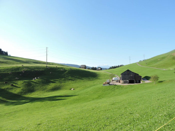
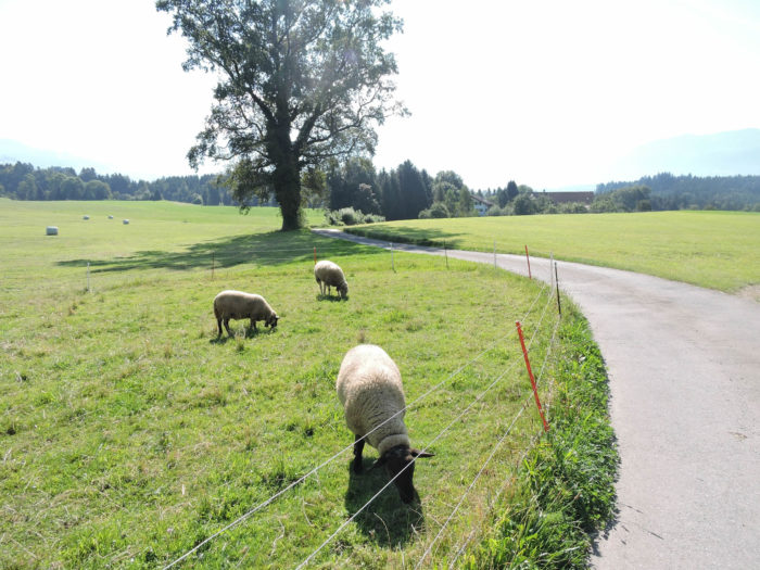
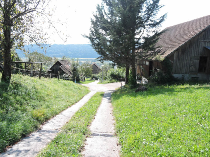
« The Swiss treats his cow and lives happily, » Victor Hugo captured the essence of a profound truth. Switzerland is adorned with vast pastures where crops fade before lush meadows, allowing the land to reveal its rarity and humility. More than three-quarters of agricultural lands stretch into vast expanses of meadows and Alpine pastures. Thus, your journey often intertwines amidst peaceful ruminants, weaving between stately farms with wooden charm, topped with projecting roofs, delicately lattice windows, and sometimes even painted or sculpted balconies. These rural bastions, often solitary, sometimes gathered in scattered hamlets, sketch the landscape you will traverse during the first part of this stage, until reaching the plains at Neuhaus. In this fertile region, nestle local cheeses, witnesses of ancestral traditions, ranging from the classic Emmental, Appenzeller, and Tilsit to the bolder flavors of Toggenburger, authentic blues, and prestigious Alpine cheeses (Alpkäse).
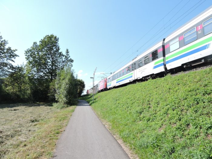
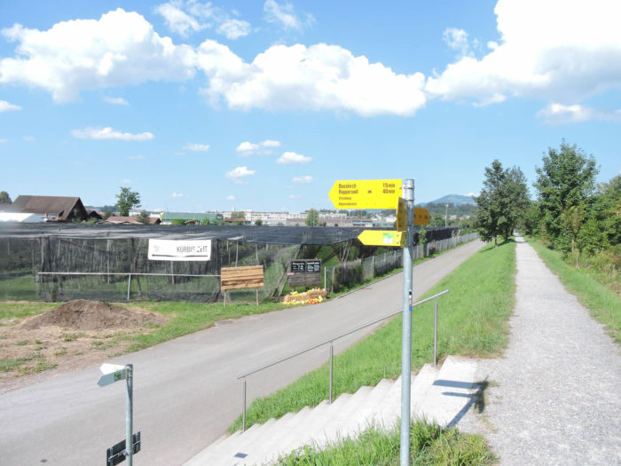
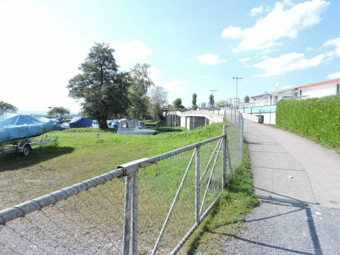
As the route arrives at Neuhaus, you enter a more populated region, where villages almost touch until Rapperswil. Although urban density remains modest, the Rapperswil basin, woven with ties to the metropolis of Zurich, bears witness to lively activity. Taking the alternative route along the peaceful shores of Lake Zurich to Rapperswil becomes an enticing option, offering a tranquility seldom disturbed, save for the gentle rumble of the train, the only tumult to break the silence of the place. Further on, at Schmerikon, on the lake’s banks, another decision presents itself: to continue directly to Einsiedeln, bypassing Rapperswil, or to stroll in this city steeped in prestige, nestled between lake and old town. In a parallel stage, we will go directly from Schmerikon to Einsiedeln, without passing through Rapperswil (stage 4a).

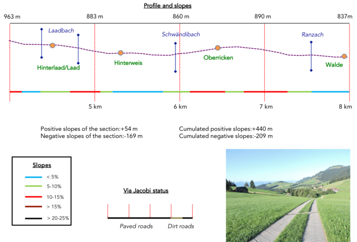
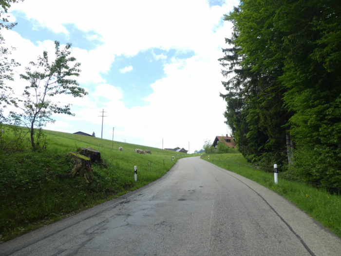
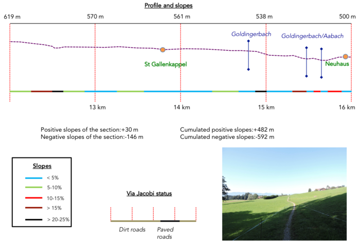
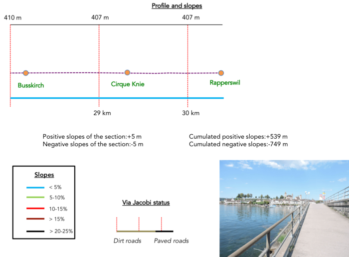
Difficulty level: The course of this stage reveals marked altitudes (+539 meters / -749 meters), punctuated by a length that challenges endurance. The steep ascent from Wattwil to Heid imposes its severe rhythm, where gradients of 15%, or even 25-30%, are not uncommon. However, from this peak, the Via Jacobi will initiate a gentle descent towards the shores of Lake Zurich, offering a welcome respite on friendlier terrain. Opting for the lakeside variant at Neuhaus will allow a lakeside stroll, after a brief ascent at the exit of the village, followed by the crossing of the highway.
State of the Via Jacobi: In this epic, the trails far surpass the asphalted arteries:
- Paved roads: 11.8 km
- Dirt roads : 18.6 km
Sometimes, for reasons of logistics or housing possibilities, these stages mix routes operated on different days, having passed several times on these routes. From then on, the skies, the rain, or the seasons can vary. But, generally this is not the case, and in fact this does not change the description of the course.
It is very difficult to specify with certainty the incline of the slopes, whatever the system you use.
For those seeking « true elevations » and enthusiasts of genuine altimetric challenges, carefully review the information on mileage at the beginning of the guide.

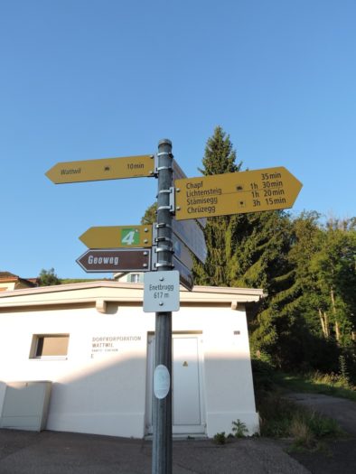
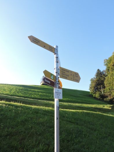
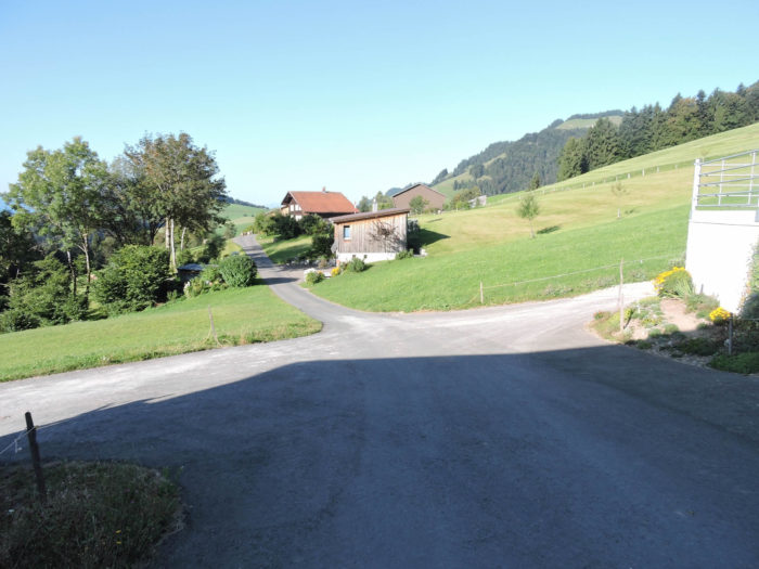
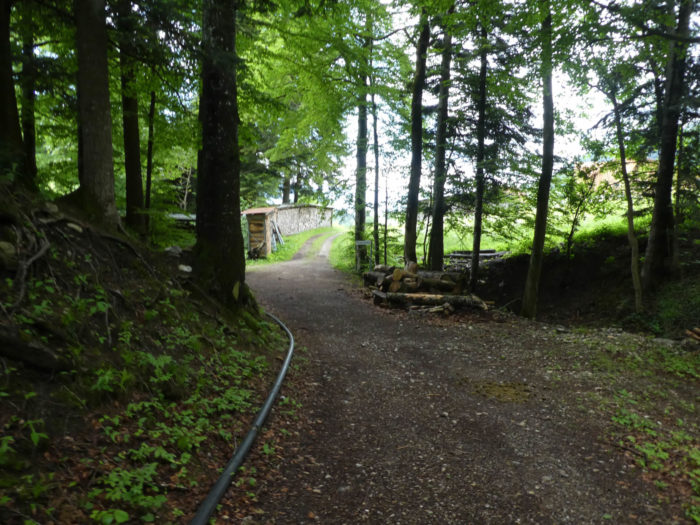
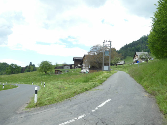
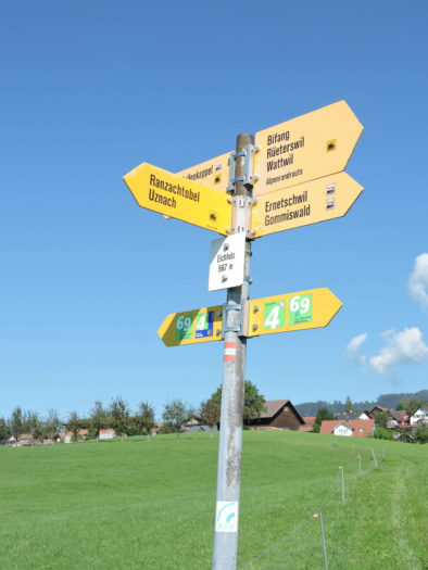
Section 1: In the Laad Valley high above Wattwil

Overview of the route’s challenges: You need only to consider the profile, often exceeding 15%; nearly 400 meters of elevation gain over 4 kilometers.

|
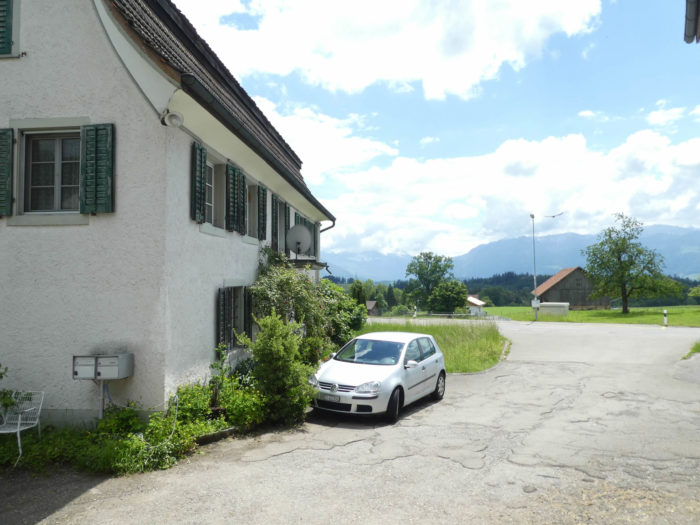
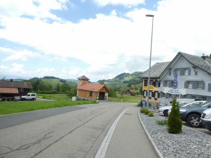
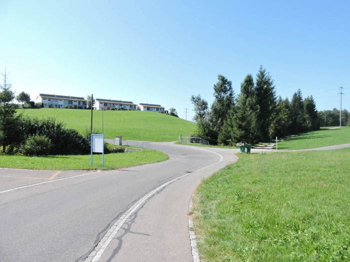
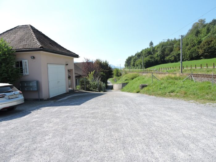
From Wattwil, multiple routes blossom, branching toward the horizon. Among them, Via Jacobi 4 gracefully departs from the tranquility of the station, following a road parallel to the railway.
|
 |
 |
|
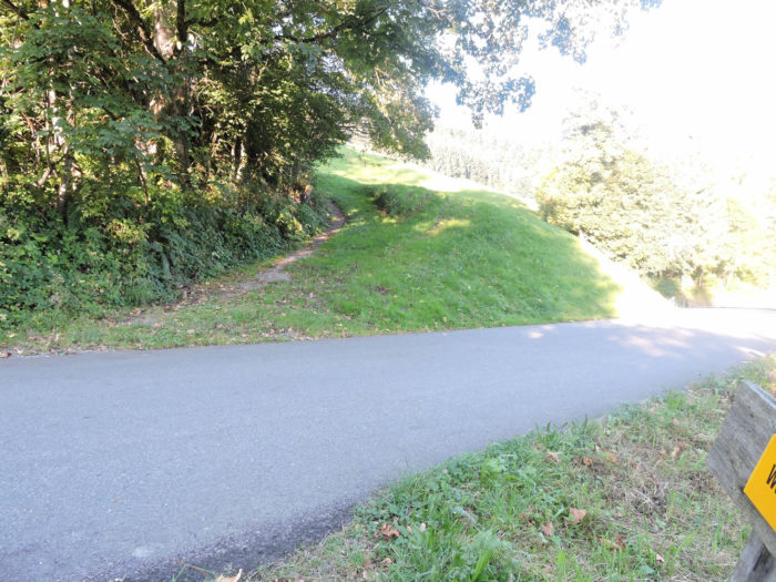
Soon, at the turn of Enetbrugg, a steep ascent rises on a trail, challenging the city’s borders in a vertical dance.
|
 |
 |
On this trajectory, unfolds the venerable convent of the Capuchins, once a refuge of meditations and prayers, transformed into the « Farm of Hope. » A metamorphosis born from the vision of a German Franciscan, Frei Hans Stapel, who, in the past decades, has offered deliverance to thousands of lost souls, prisoners of the vices of the flesh and spirit, through the regenerative oases of the « Fazendas da Esperança ».

| The trail winding through the woods then emerges into a neighborhood of old and new wooden and stone houses, under the protective shadow of the castle. |
 |
 |
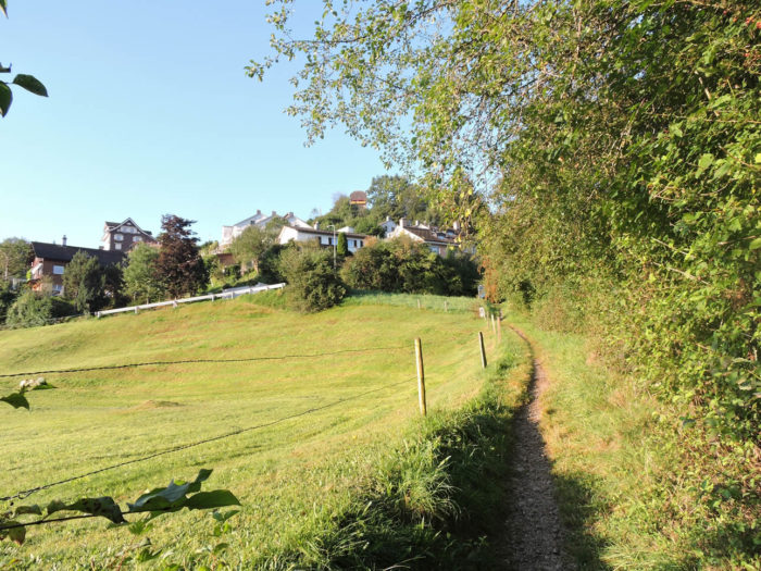
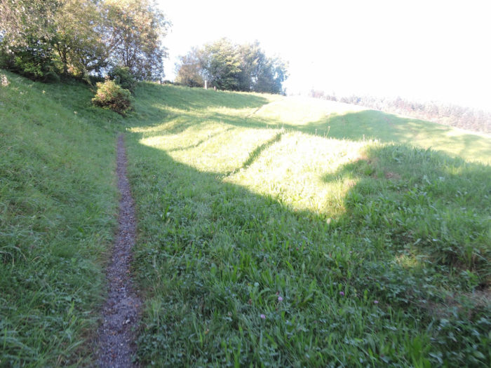
Delving once again into the mystery of dense woods, the trail escapes the mysteries of the undergrowth to join the road leading to Unterlaad.
|
 |
 |
| However, it momentarily disregards this road, as the call of the heights becomes urgent. Thus, veering off the road, it gracefully climbs towards the peaks, overlooking the residential neighborhoods with a lofty gaze. |
 |
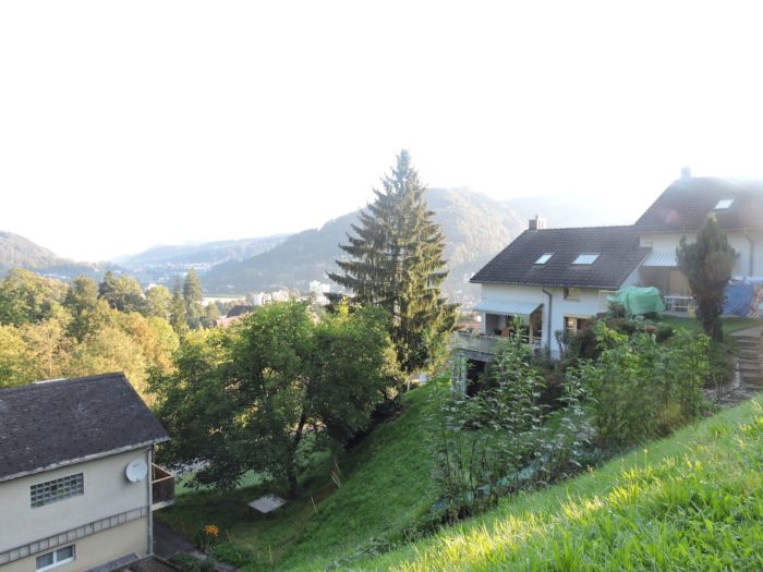 |
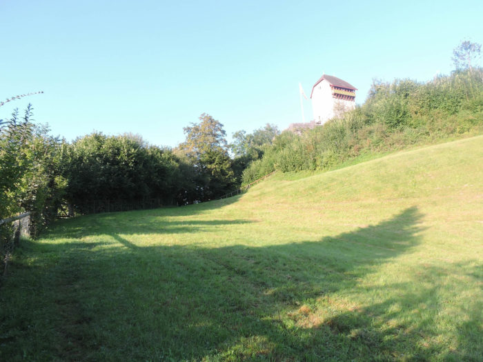
| Up there, Iberg Castle, a relic of the 13th century, emerges as a solitary guardian of ancient times, its ramparts obscured by dense vegetation. An epic ascent, where over a hundred meters of elevation are climbed in a kilometer of ardor, rewarding with the enchanting embrace of the dawn breaking over Wattwil. |
 |
 |
Yet, the feudal enclosure, secluded in its emerald forest, evokes a tacit disillusionment, its closed gates resisting any outpouring of enthusiasm.

| Beneath the castle, the trail slopes down, rejoining the road to Unterlaad at the Schlosswis location.
For those of you who will pass by here one day, you can avoid this cumbersome detour of the castle, where there is nothing to see, and simply follow the road to Schlosswis. |
 |
 |
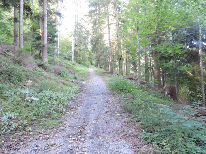
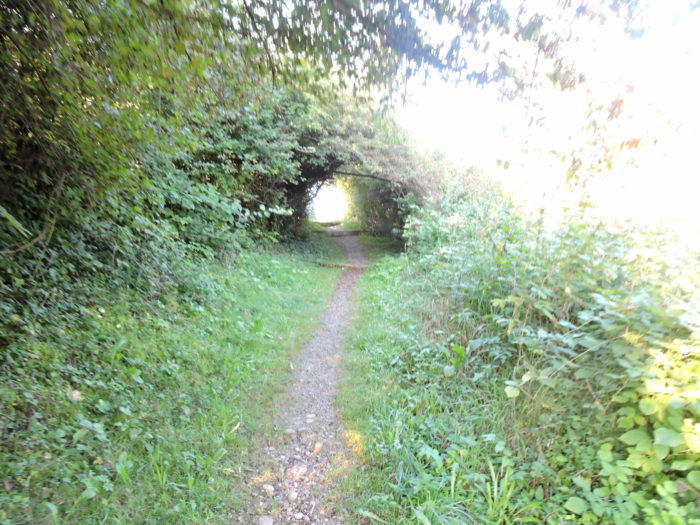
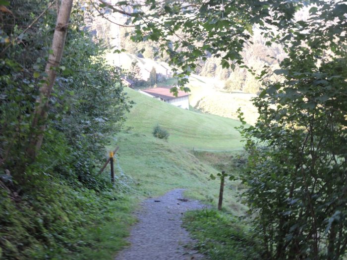
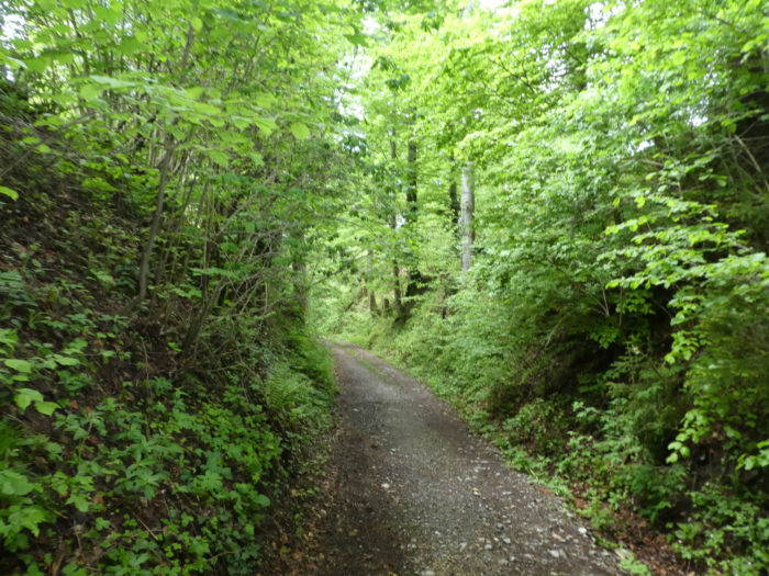
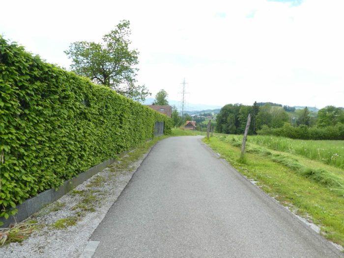
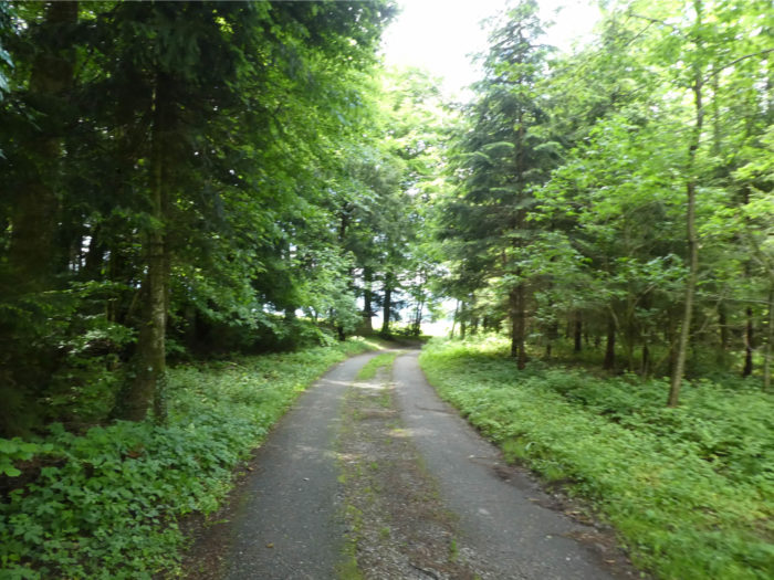
| But the Via Jacobi, eager for adventure, quickly abandons the asphalt to delve into the intimacy of the woods on a path where the majestic silhouettes of beeches, oaks, and spruces emerge. The forest here is not a model of elegance. |
 |
 |
| Soon, the wooded setting gives way to undulating meadows before the road asserts itself again, like an inevitable destiny. |
 |
 |
| Throughout the ascent, the path plays with the road. Thus, the path loses itself again in the meanders of the pastures, offering a fleeting respite to the wanderer. |
 |
 |
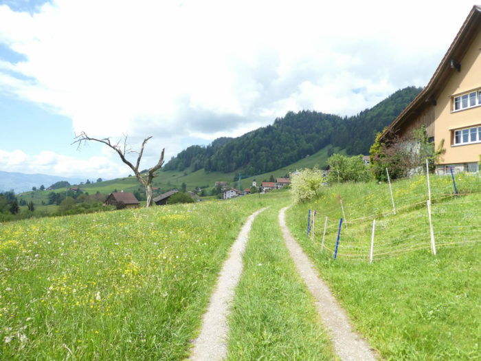
You need only turn around to see that the road zigzags while the shortcut goes straight. And steeply. In fact, you may have imagined, while descending abruptly to Wattwil the day before, that you would have to climb just as much on the other side of the valley. Such is the law of the Ways of Compostela, an immutable law of pilgrimages, where each traversed elevation is the pledge of acquired wisdom.

| Higher still, the Via Jacobi continues its game of hide-and-seek with the road, sketching the elusive meanders of the journey on the canvas of the landscape. |
 |
 |
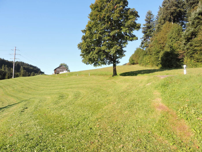
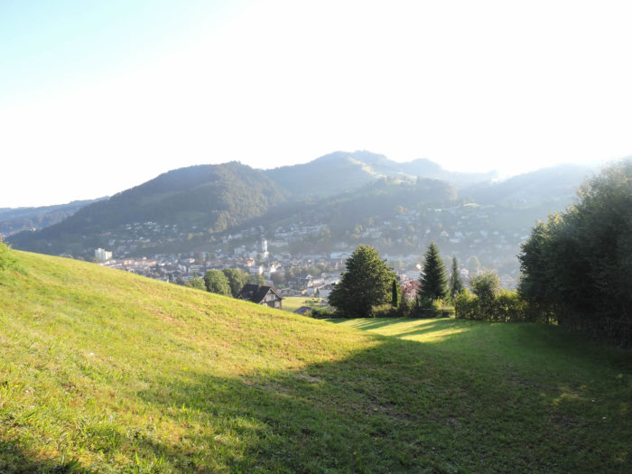
At its ultimate climax, it soothes onto a plateau, offering below the breathtaking panorama of Wattwil. More than 200 meters climbed, in the relentless embrace of slopes exceeding twenty percent. Quite a feat, isn’t it?

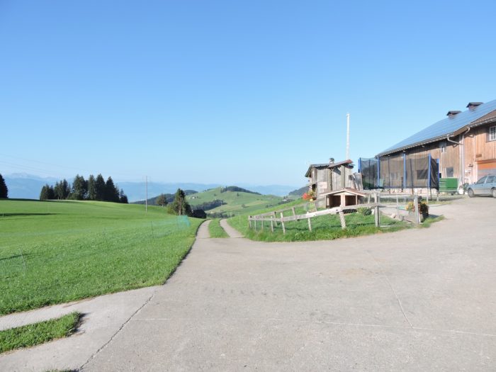
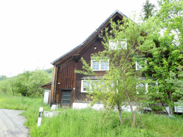
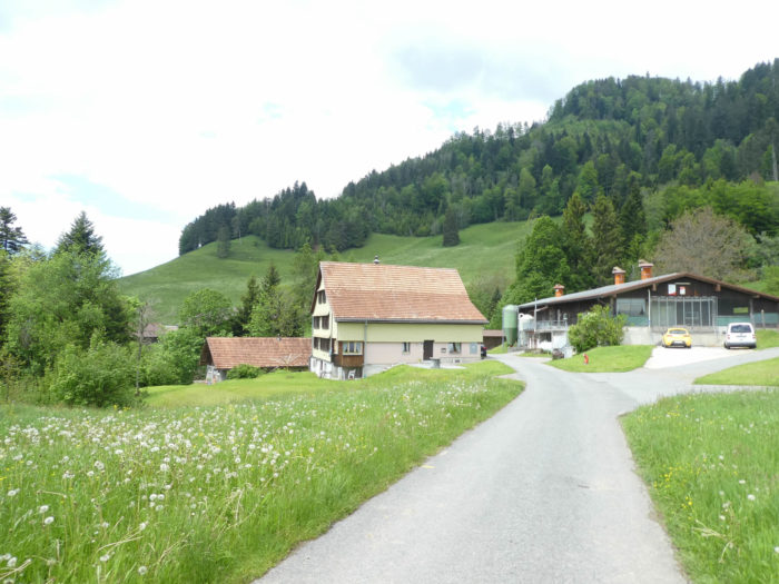
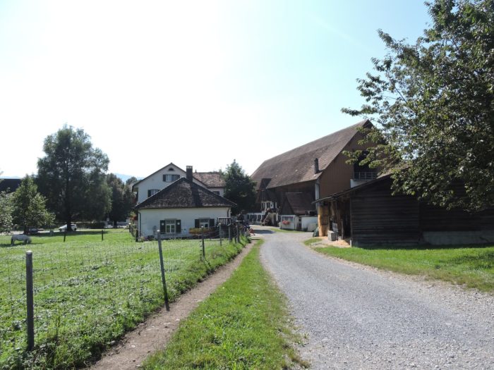
| Shortly after, the road reaches Unterlaad, where farm geraniums bloom, silent witnesses of an almost aristocratic opulence. The farms are truly splendid in Eastern Switzerland, almost as opulent as those in the canton of Bern. |
 |
 |
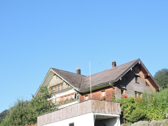
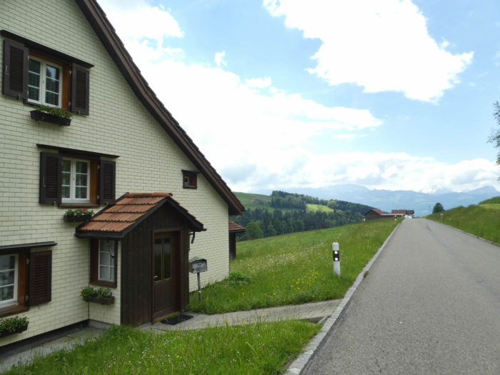
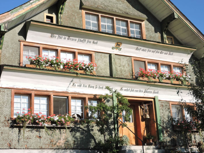
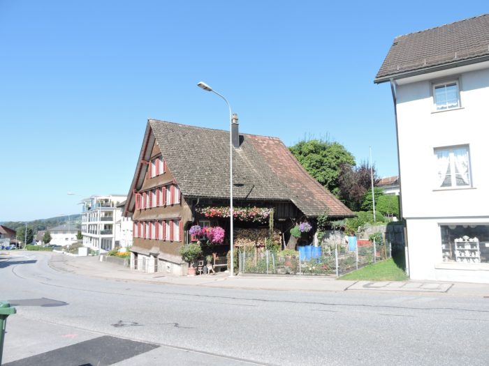
| Here, each hamlet bears the same signature, Unterlaad, Vorderlaad, Oberlaad, bathed in the soothing murmur of the Laadbach stream. Here unfolds a parade of farms and more bourgeois residences, sometimes modest, sometimes sumptuous, adorned with symbols of great prosperity. Most of them are adorned with fine multicolored shingles. Some houses are richer than others and bear inscriptions in Hochdeutsch script on their facades. |
 |
 |
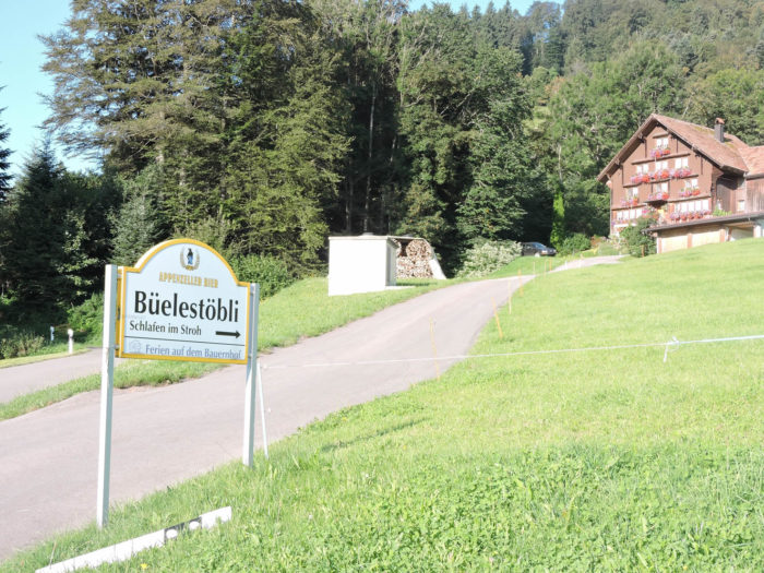
| Further along, the road reveals an inn, where you can drink, eat, and even find rest amidst the warmth of straw sheaves, a practice cherished in these Teutonic lands. |
 |
 |
| Here, theroad grazes one of Laadbach’s tributaries, an invisible accomplice of its journey. The valley then presents itself in all its majesty, allowing the road to continue its ascent between solitary farms. . |
 |
 |
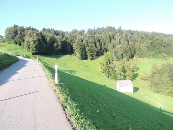
| At the end of this enchanting valley, amidst the delicate scents of livestock, the horizon stretches until the majestic throne of Säntis is still visible, watching like an impassive giant over these fertile lands. |
 |
 |
Here, you prepare to leave this magically imbued Toggenburg, heading towards the lakeside, towards Rapperswil, the next distant stop on the shores of Lake Zurich.
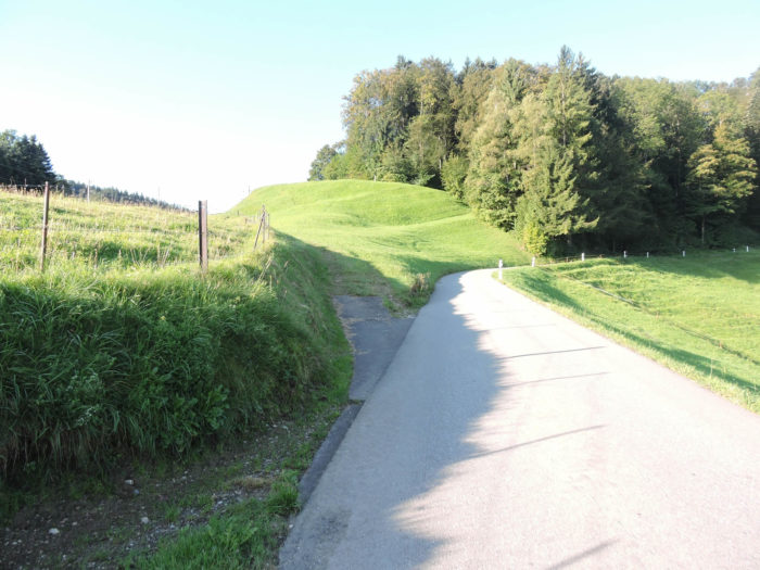
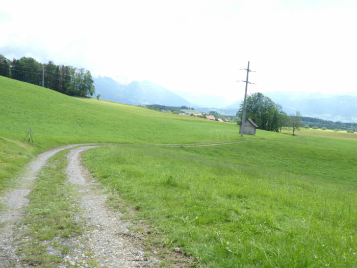
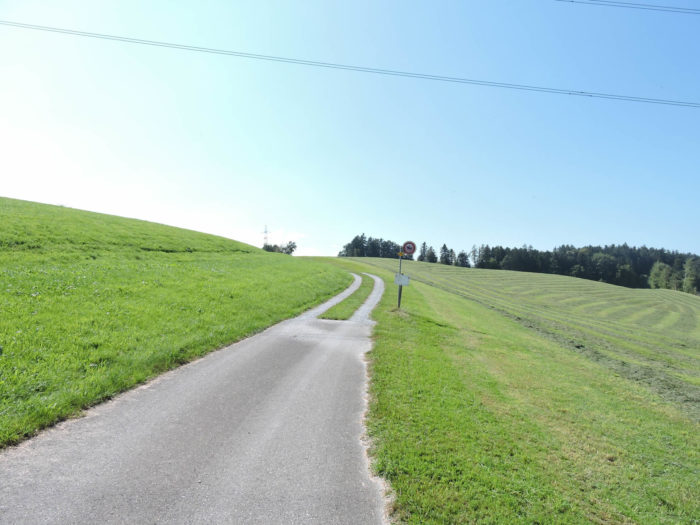
| At the summit, the slope becomes steeper, and the horizon opens wide. The road, jealous of its secrets, is open only to locals and the military. Yellow and black signs indicate the presence of military roads. It truly feels like passing a mountain pass, like crossing into another country. |
 |
 |
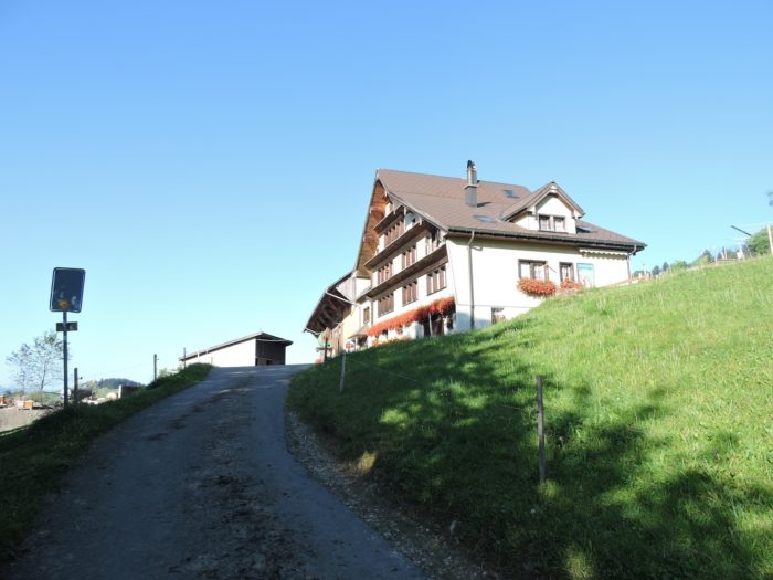
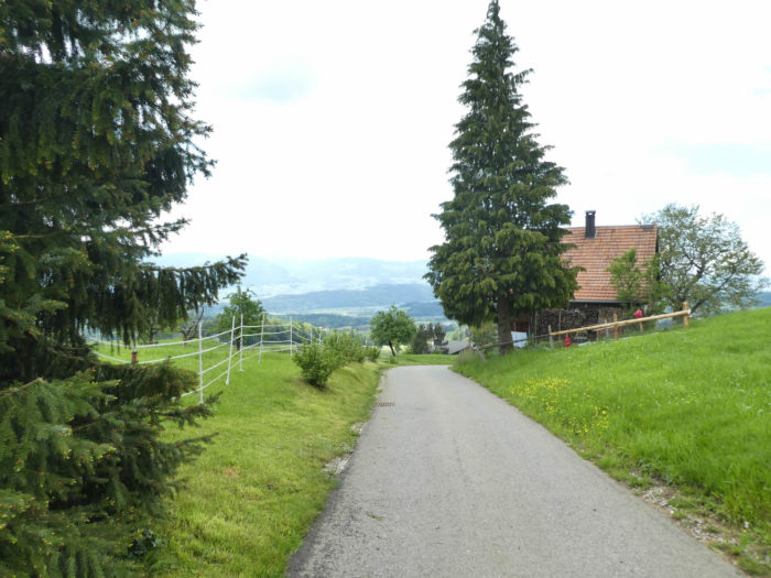
| Finally, the Via Jacobi emerges in Heid, perched at 975 meters above sea level, where a hospitable tavern extends its welcoming arms. A moment of absolute bliss, isn’t it? For the journey from Wattwil, modestly nestled at 613 meters above sea level, was marked by trials and sacrifices. |
 |
 |
| Before you unfolds a dizzying descent, a steep plunge where slopes sometimes rise in challenging angles, tracing the road to Hinterlaad. Marvel at these concrete structures meticulously arranged by the locals to accommodate tractor furrows and military vehicle treads. Isn’t this a demonstration of Swiss prosperity, this ability to shape the landscape according to their needs and challenges? |
 |
 |
Section 2: Descending into the St Gallen meadows

Overview of the route’s challenges: a generally easier route, mostly downhill, with few steep slopes.
|
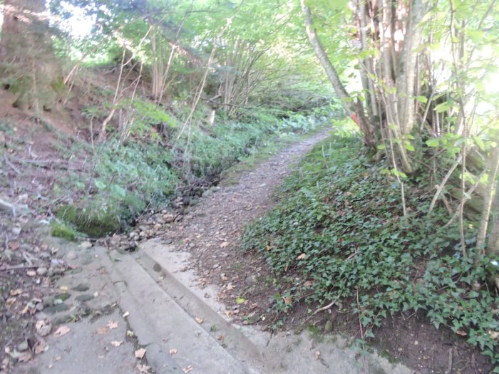
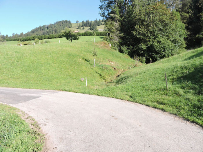
At the edge of this steep descent, the Via Jacobi finally reunites with the gentle murmur of the Laadbach, the stream that has been your companion throughout your journey.
|
 |
 |
|
Beyond the twists and turns of the road lies Hinterlaad, a modest hamlet nestled amidst agricultural lands. The hamlets succeed one another like a silent procession along the road, as it traverses Laad, a tiny village hardly larger than a handkerchief, disappearing twice under the whispers of the Laadbach,
|
 |
 |
Here, the Via Jacobi mainly follows the asphalt, daring to cross the tumult of the Schwändibach, braving military zones, before finally emerging near a cross standing at a crossroads, on the edge of a fortified military camp.
|
 |
 |
| Further on, the road reaches a crossroads, like an intersection of stories. Your route takes the right road, climbing markedly towards Oberricken/Walde. |
 |
 |
| A wide road opens before you, climbing with steadfast determination through pastures, gently caressing the foliage of maples and firs, seeking the summit of the hill. |
 |
 |
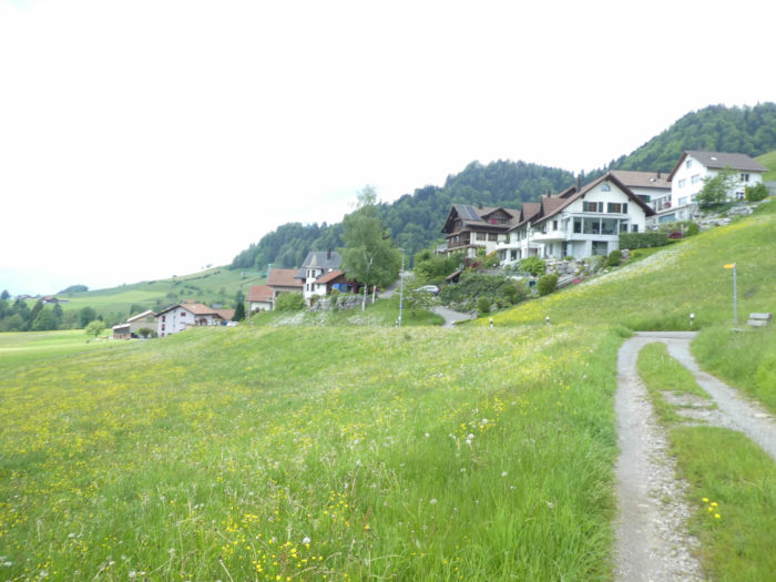
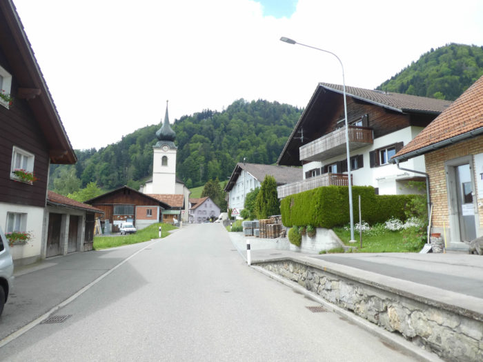
| At the crest of this short ascent, the road winds its way among herds of Braunvieh cows, passing by the scattered farms of Oberricken. The inhabitants of these places cherish their territory, proudly displaying the coats of arms of their homes. Here, St. Gallenkappel is still two hours’ walk away, reminding you of the distance covered and the journey yet to be completed. |
 |
 |
| From up there, the road descends through the meadows, sinking into the hollow of the valley towards Walde, |
 |
 |
| A little further, a choice presents itself: continue on the main road or take the rocky path that veers into the woods. Isn’t it more exhilarating to lose oneself in the mysterious shade of the forest rather than follow the cold grip of asphalt? |
 |
 |
| In this enchanting forest, where leafy essences mix with majestic firs, generosity is palpable, offering travelers a suitable area for grilling sausages. The Swiss Germans certainly cultivate an unparalleled spirit of hospitality towards hikers. |
 |
 |
| The crossing of the forest is brief, emerging into the first houses of Walde. |
 |
 |
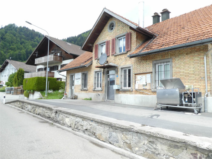
| This picturesque village, nestled in the mountains, stretches under the forest cover, its modest church and charming bell tower standing like benevolent sentinels. Here, the dairy seems to hold paramount importance, but there are no other shops. |
 |
 |
| And among the peaceful streets of the village stands a peculiar establishment, halfway between an antique shop and an unusual bazaar. A small car sits outside, displaying a discreet slot for settling purchases. It seems that only Switzerland still places such trust in buyers, who must not be plentiful in this remote corner of the country. |
 |
 |
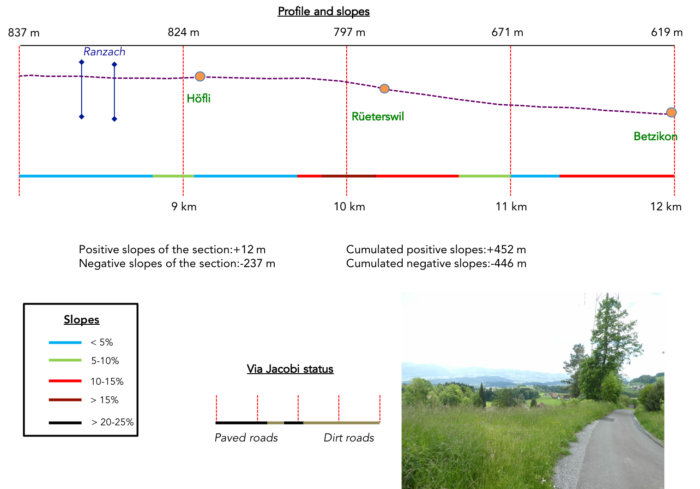
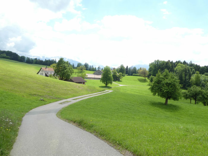
Section 3: Descending towards Betzikon

Overview of the route’s challenges: a relatively easier route, mostly downhill, with steep slopes near Rüeterswil.
|
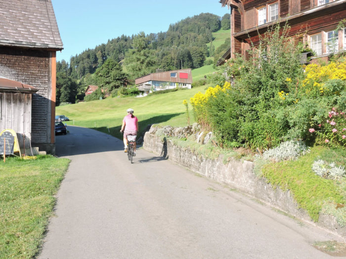
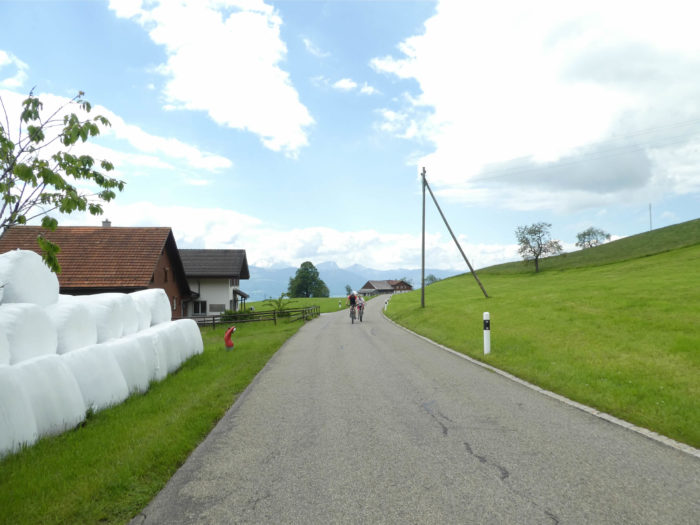
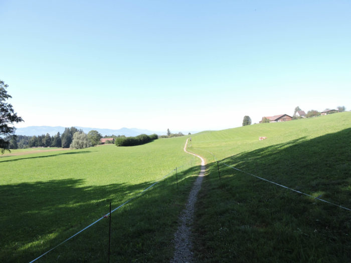
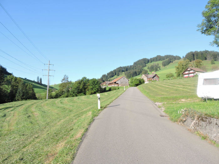
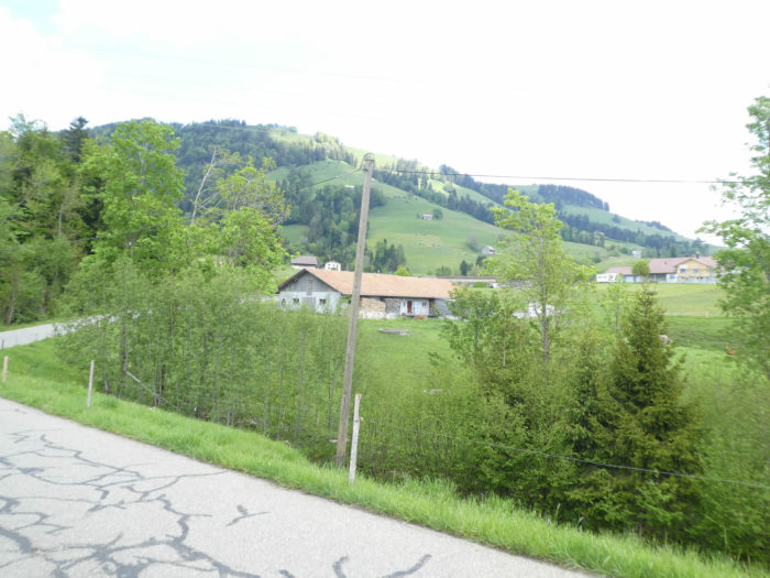
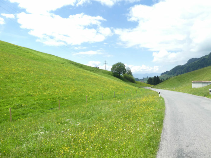
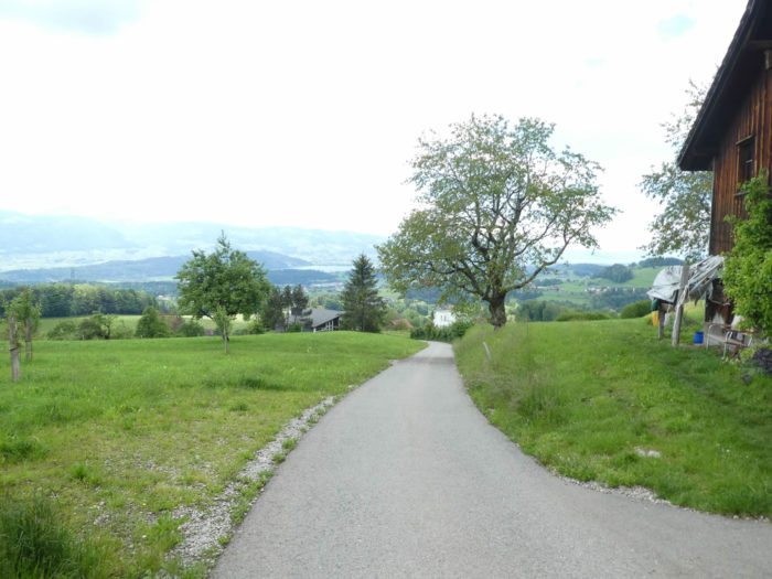
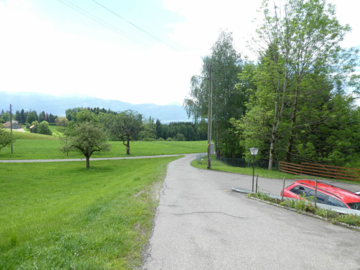
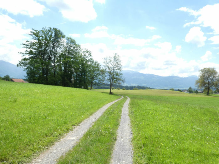
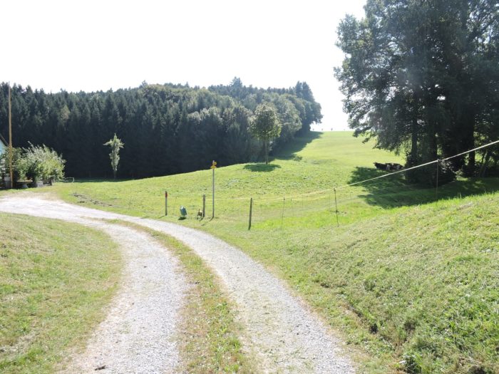
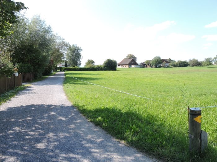
Beyond Walde, the road winds gracefully, descending the steep slopes, gliding between the murmurs of small streams, liquid gems flowing towards the Ranzach stream. Along its course, it traverses havens of tranquility, solitary farms emerging from the meadows like islands in a sea of greenery. The crops modestly recede from this rural scene, allowing nature to reclaim its rights.
|
 |
 |
Further down, near a humble oratory, the Via Jacobi veers off from the main artery, opting for a more modest road that gracefully slopes up towards the Höfli farms, like a curious traveler straying from the beaten path to discover a more secret route.
|
 |
 |
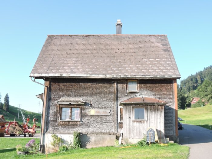
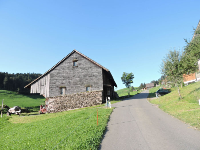
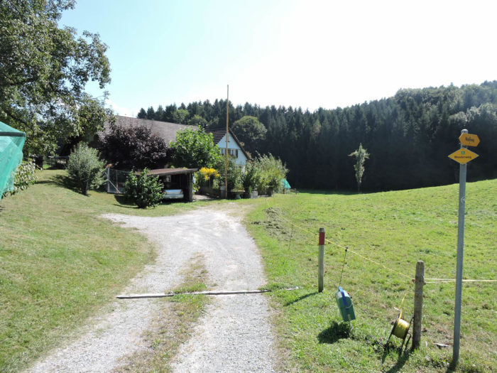
| In the hamlet, a few proud farms line up, tradition respected in these lands. History whispers in the weathered wood and shingles, like an invitation to ancient times. |
 |
 |
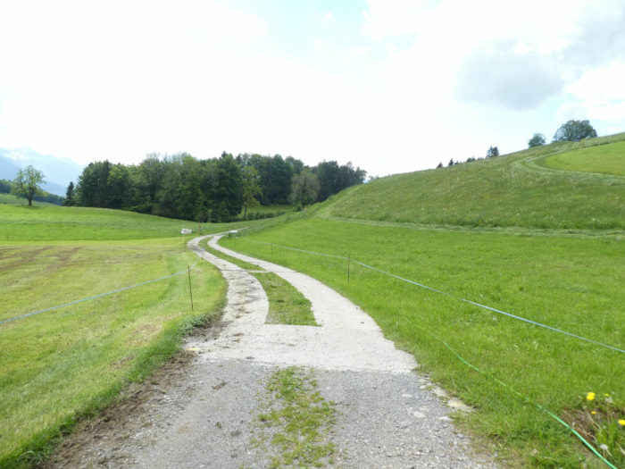
| From this peaceful place, the Via Jacobi returns to the dirt, beginning a graceful descent through the rolling meadows, like an elegant dance orchestrated by the elements. Pastoral tranquility envelops the hiker. |
 |
 |
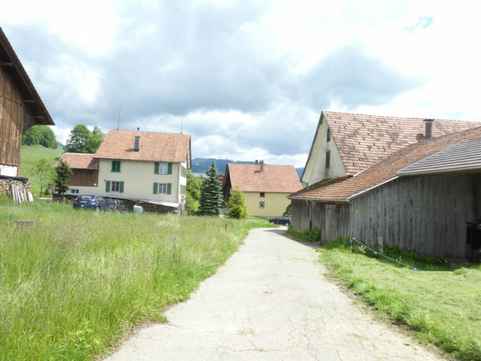
| In this descent, scattered farms stand, some with an antique air, their wooden shingles weathered by the sun’s kiss. The asphalt regains its grip, the slope steepens as Rüeterswil approaches. The earth bends under the weight of ages. |
 |
 |
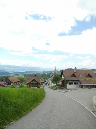
| Suddenly, emerging majestically in the azure sky, the slender spire of the Rüeterswil chapel stands like a beacon in the mist, guiding lost travelers to safety and serenity. |
 |
 |
This chapel, erected in the late 17th century in honor of Ste Ursula, dons the trappings of the Baroque, faithful to the opulent aesthetic that characterizes the religious buildings of St Gallen. Its very sobriety is a declaration of grandeur, an ode to a faith that transcends artifice. Centuries whisper in its stones.

| In Rüeterswil, the Via Jacobi intersects the road descending from Walde to St Gallenkappel, continuing its course below the village through the villas, bravely facing a steep slope. |
 |
 |
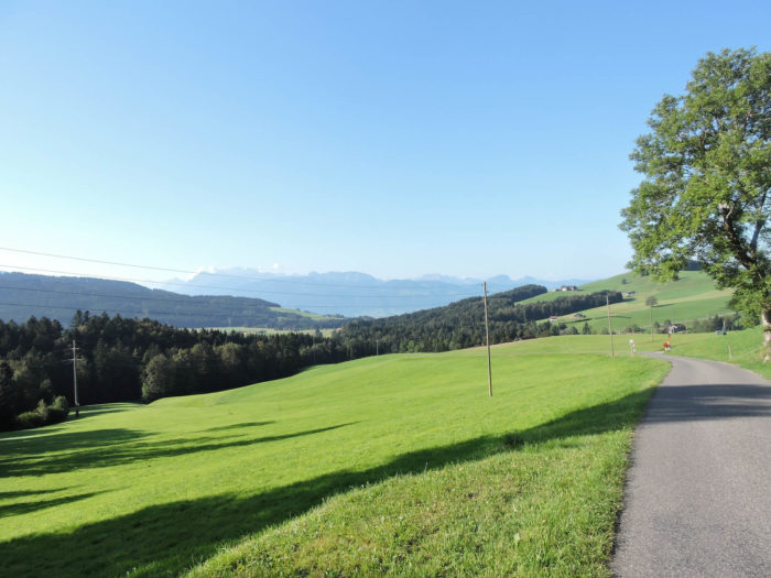
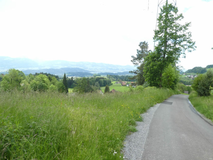
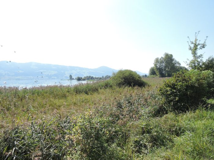
| Along the road, nature flourishes in all its splendor, deciduous trees extending in a symphony of tender green. Already on the horizon looms Lake Zurich, an azure mirror reflecting the dreams of travelers. |
 |
 |
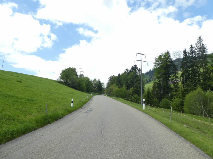
| Further down, the road opens onto a vast plateau, a remnant of a territory that the army delights in traversing. Signage imposes its authority, like a vigilant sentinel watching over these lands. |
 |
 |
| The small road crosses this domain, smooth as a new coin, before delving into the woods, as if to rediscover the wisdom of ancestors. |
 |
 |
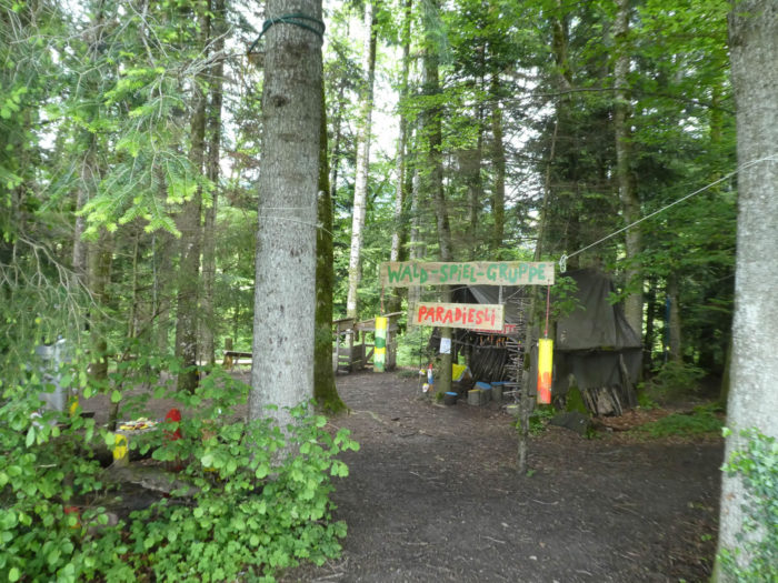
| In the meanders of the forest, the Via Jacobi encounters a strange encampment, a deserted playground, offering an enchanted interlude in the heart of wild nature. |
 |
 |
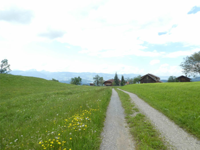
| At the edge of the woods, a wide dirt trail stretches languidly through the meadows towards Betzikon. Pastoral life takes back its rights. |
 |
 |
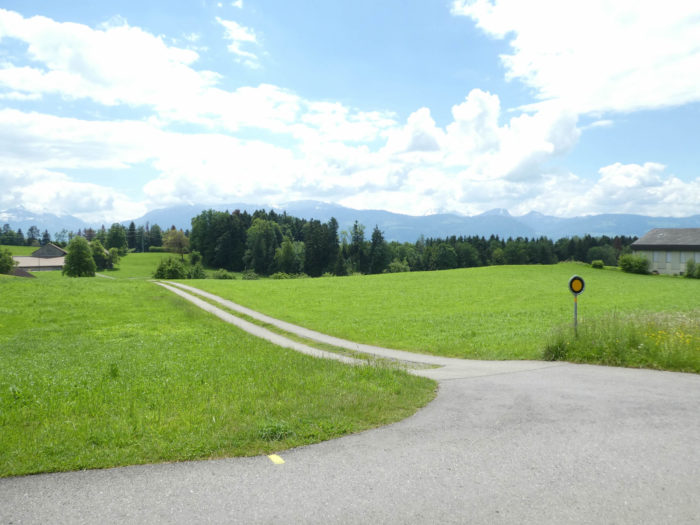
| Finally, the Via Jacobi emerges in Betzikon, a modest village nestled along RN8 road, just a stone’s throw from St Gallenkappel, like a brief stopover before returning to nature. |
 |
 |
Section 4: Passing through the Aabach, the Neuhaus canyon

Overview of the route’s challenges: relatively easy rollercoaster-like terrain; the steepest slopes occur when approaching the Aabach, at the entrance to Neuhaus.
|
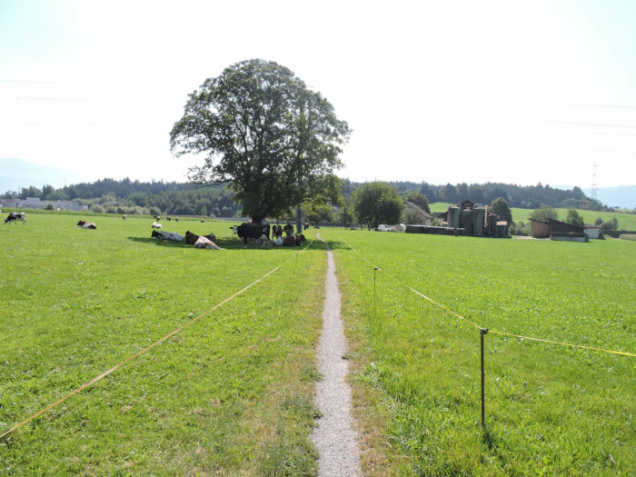
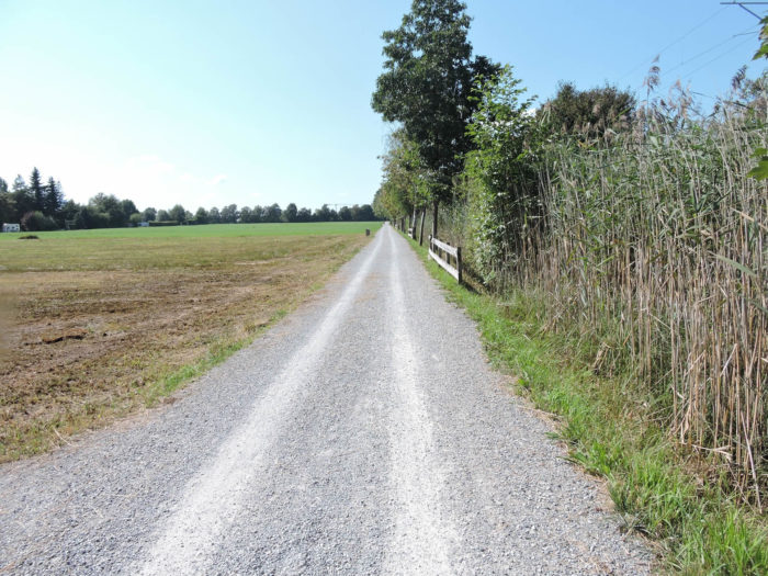
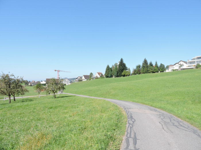
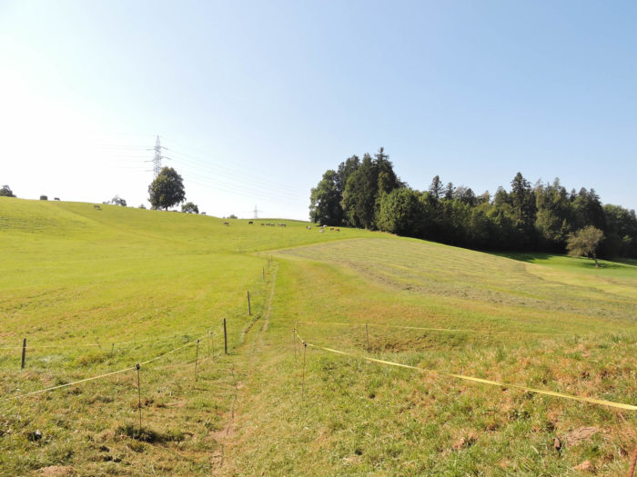
The Via Jacobi, like a delicate incision through the landscapes, disregards the main arteries where vehicles hum. Instead, it adorns itself with a bucolic detour near the foliage where the Ranzach murmurs, before winding again among the meadows. Here, the meadows flourish under the complicit gaze of sheep and cows, which share the lush grass.
|
 |
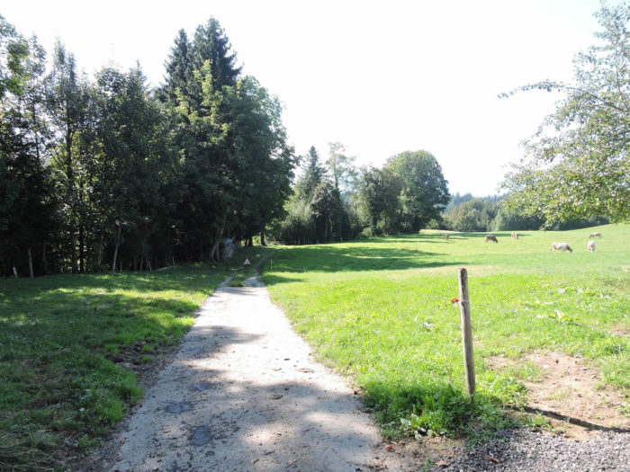 |
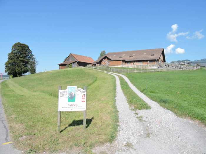
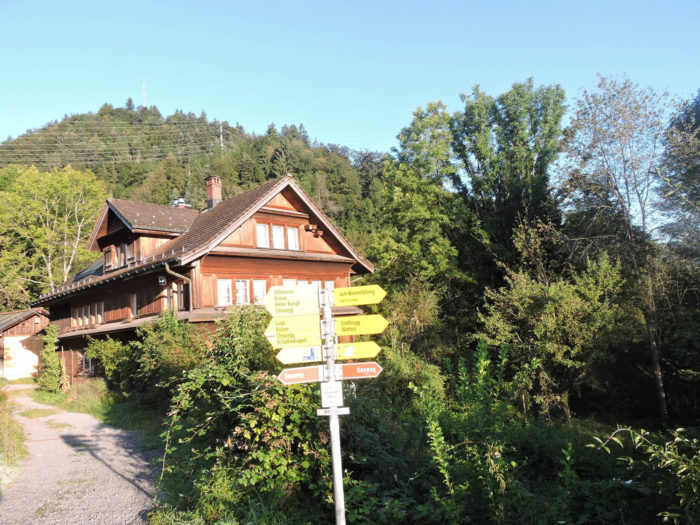
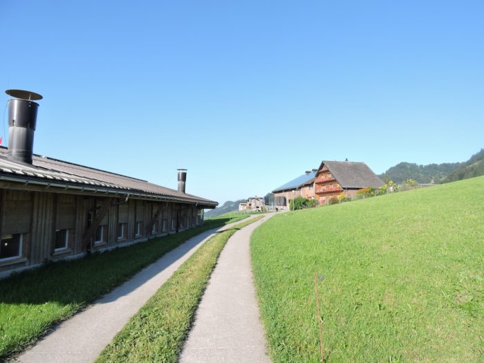
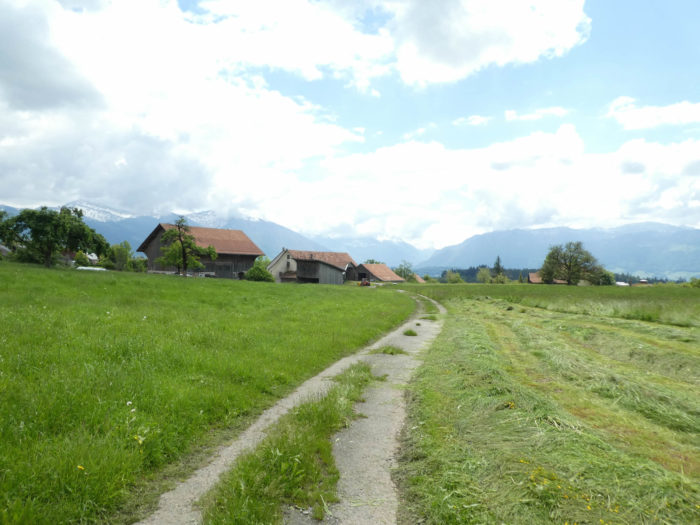
| The path accompanies the stream for quite some time from afar, then heads towards the locality of Eichholz, where you can find lodging in the straw, within an imposing farmhouse built on the hill, |
 |
 |
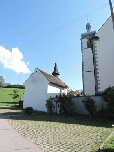
| Subsequently, the Via Jacobi swiftly heads towards St Gallenkappel by the road, offering asylum and comfort to walkers. The St Laurentius Church, built in the 18th century, has been the scene of great transformations over the centuries. |
 |
 |
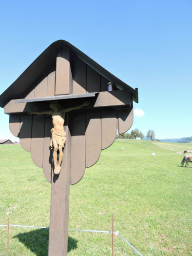
| The canton of St Gallen abounds in chapels. The St Michael’s Chapel, a legacy from the 16th century, has also endured the ravages of time, undergoing the same renovations as its ecclesiastical counterpart over the centuries. Near the chapel, a trail winds among a quarter of recently built houses. |
 |
 |
| Further ahead, a road meanders through the semi-industrial area, between Gwatt and Gerendingen, before crossing the Goldingerbach. |
 |
 |
| A narrow trail then snakes along the stream and the neighboring woods before reconnecting, farther on, with the RN8 road, the major artery of the region. |
 |
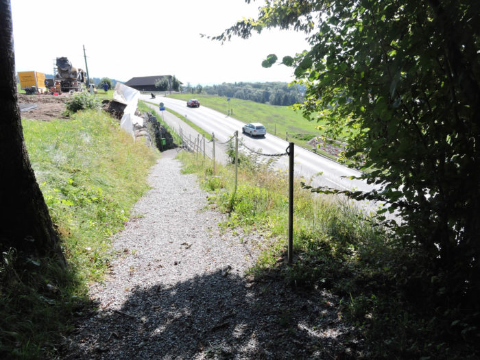 |
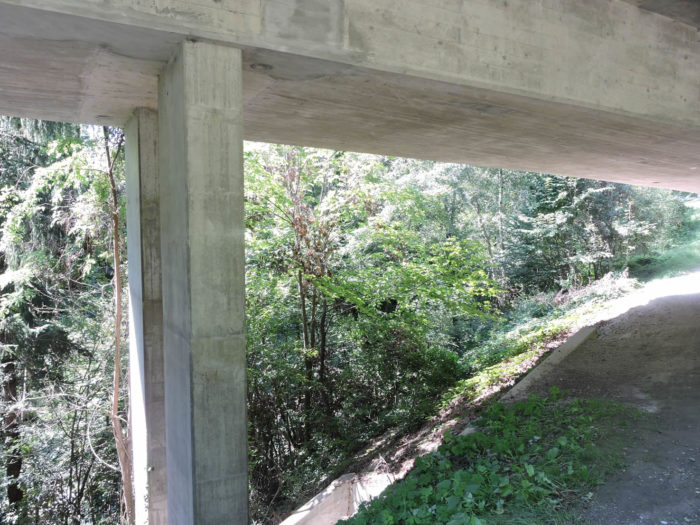
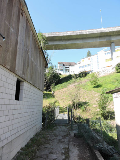
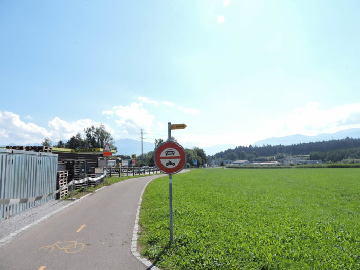
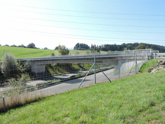
| In this region, the topography becomes intricate as it is necessary to cross the river. Through sleight of hand, the Goldingerbach now transforms into the Aa, which meanders through a deep gorge, resembling a true canyon. The Aa, this river celebrated in French wordplay, where few words have the privilege of starting with « aa »! You could easily opt for the RN8 road and cross the river to Neuhaus. However, the designers of the route have other intentions for you. Initially, the Via Jacobi crosses the river via a first bridge… |
 |
 |
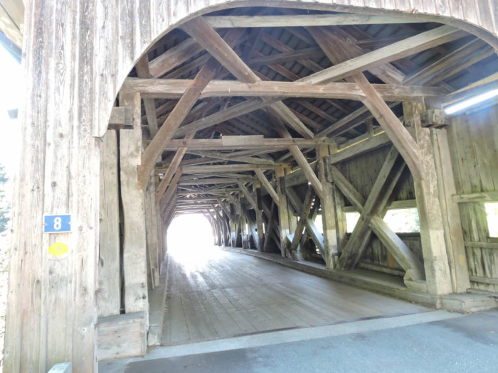
| … but at the end of this bridge, the route descends to take the magnificent and ancient wooden bridge, dating back to the 1830s. One bridge follows another, but the true charm undoubtedly lies in the latter, naturally. |
 |
 |
| You then find yourself in an industrial area, along the stream. Less enchanting, isn’t it? |
 |
 |
| Well, let’s say it’s not the trickle of water flowing here that made this river famous. |
 |
 |
| A trail then climbs abruptly on the other side of the river, towards the modest chapel of Neuhaus, standing along the road. |
 |
 |
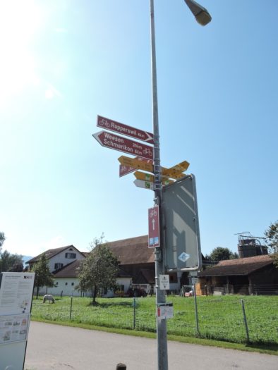
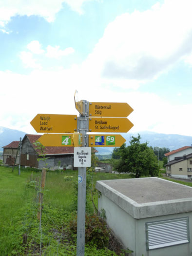
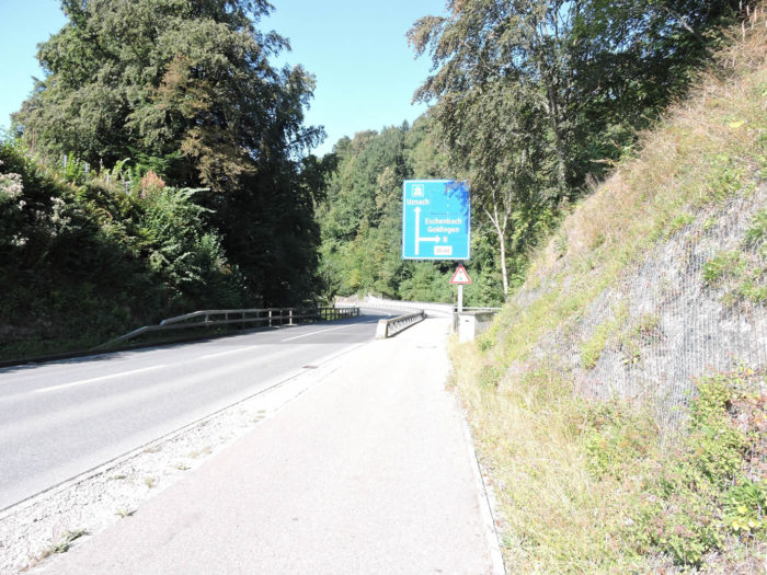
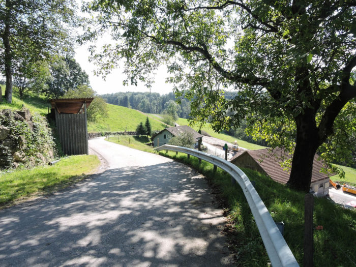
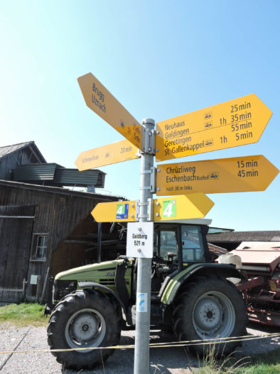
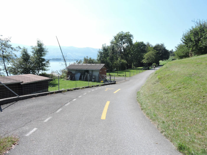
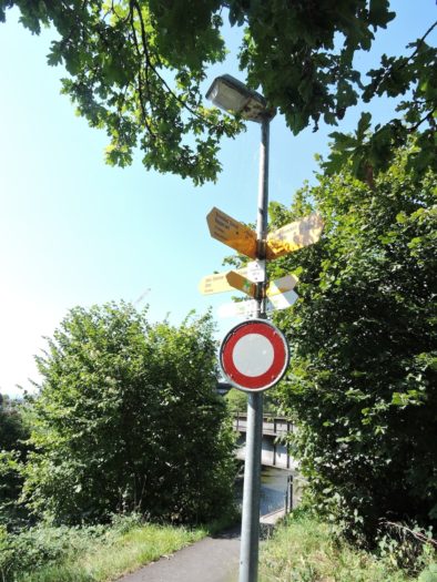
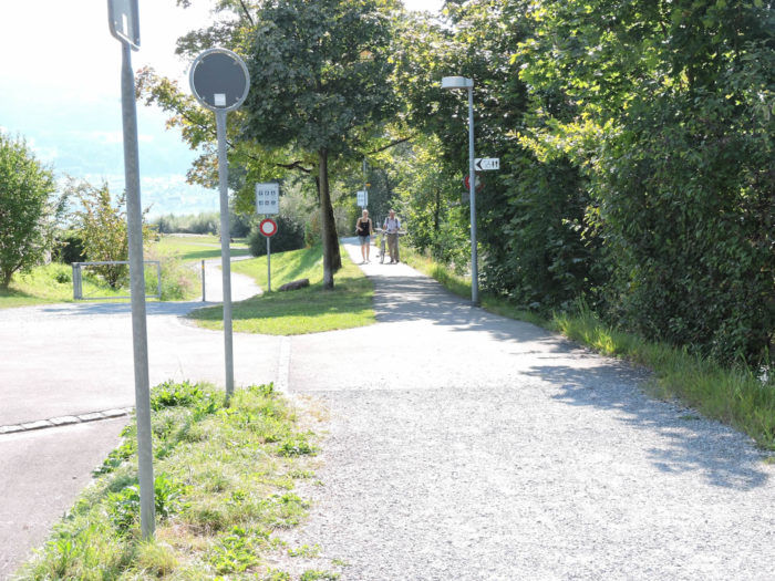
You are then faced with a sign that deserves explanation, depending on the route you choose. Usually, the Via Jacobi is symbolized by a circled 4 in blue, indicating the Santiago track. The uncircled 4 signals the reverse route. But here, everything is confusion. On many maps, the main Via Jacobi passes through Rapperswil before reaching Einsiedeln. Not on this sign! Because here, the route suggests heading towards Schmerikon, then Einsiedeln, without passing through Rapperswil. The other sign indicates the route to Eschenbach and Rapperswil.
However, the route via Eschenbach, Jona, and then Rapperswil is not very exciting, traversing multiple urban areas. The other route quickly reaches Lake Zurich, and from Schmerikon, instead of continuing to Einsiedeln, you can follow the lakeshore to Rapperswil. Completely flat! Both routes offer a similar distance in kilometers.
We therefore recommend heading towards Schmerikon, that will be our choice today. There, you will have to decide whether you want to go directly to Einsiedeln or take a detour through Rapperswil, a city that thoroughly deserves a visit.

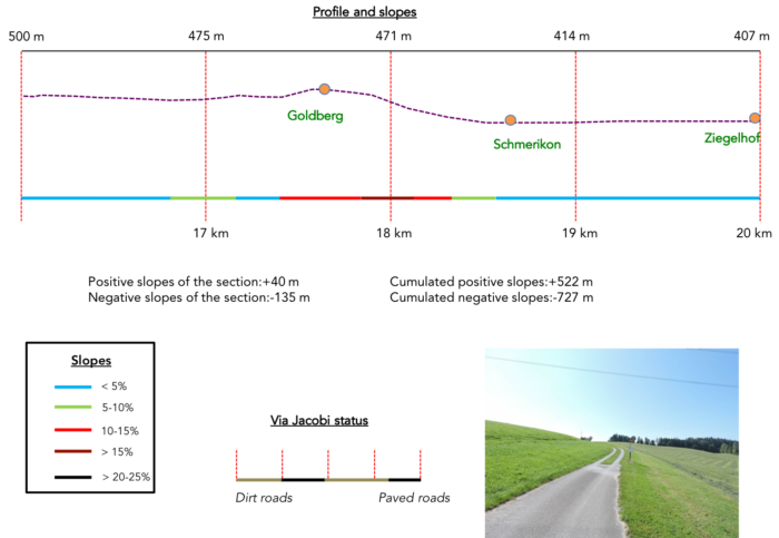
Section 5: Before the stroll along Lake Zurich
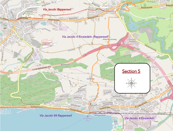
Overview of the route’s challenges: ups and downs with little difficulty; yet, the descent to Schmerikon is quite steep, then, afterwards, the holidays begin.
|
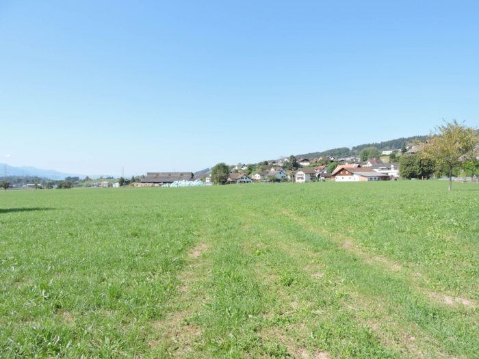
On the route of the Siebnen/Einsiedeln Way, the journey begins with the functional urbanism of Neuhaus, then soaring through the plain in a subtle dance with the meadows.
|
 |
 |
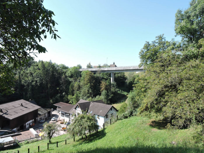
| The hiker, enamored with freedom, soon ventures onto a road paralleling the highway, gracefully detaching from it like a skilled courier dodging obstacles. |
 |
 |
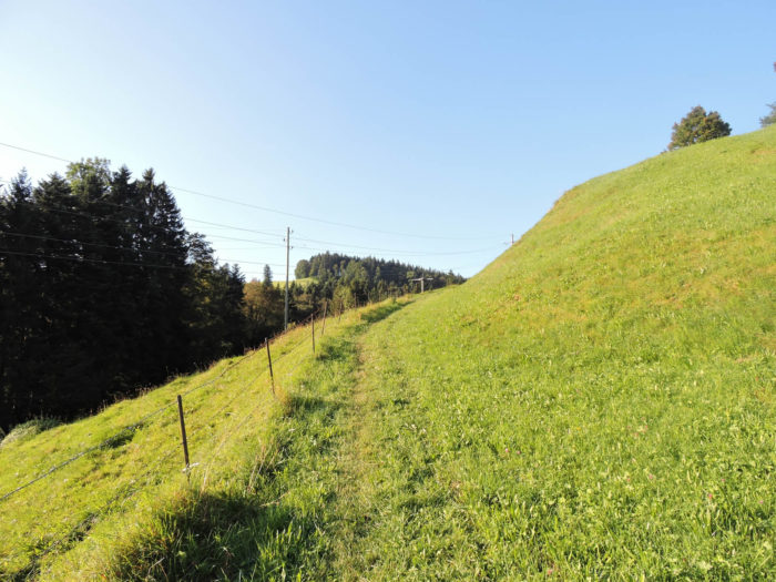
| Where roads intersect, the Via Jacobi abandons asphalt to embrace the ground, bravely climbing through pastures like a mountaineer scaling the slopes of a humble mountain. |
 |
 |
| In this ascent, the path winds among herds, gazing upon solitary farms standing like sentinels on the heights, guardians of a venerable yet still relevant past. |
 |
 |
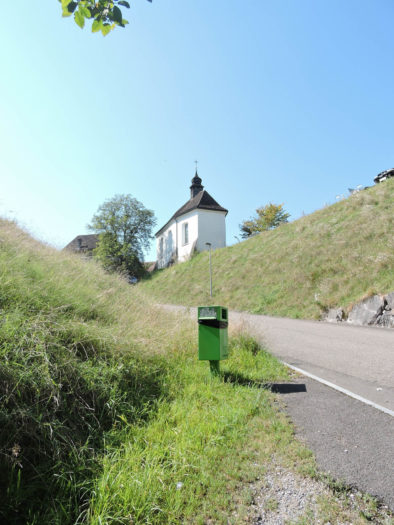
| And then, atop the hill, Golberg stands like a sparkling jewel atop its natural setting, offering the traveler the sight of a gentle hamlet nestled in nature. |
 |
 |
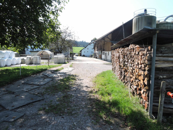
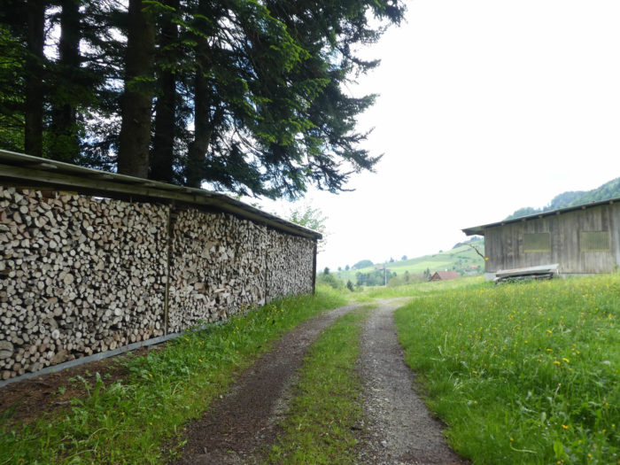
| In this corner of German-speaking Switzerland, woodpiles stand like phalanxes ready to defend their land, while the dwarves, those mythical guardians, watch over them with benevolent attention. Here, overlooking Lake Zurich, the landscape breathes tranquility and serenity. |
 |
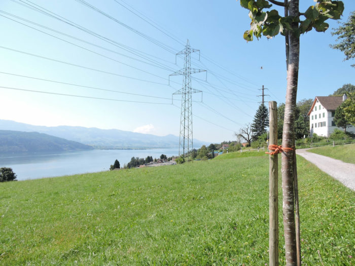 |
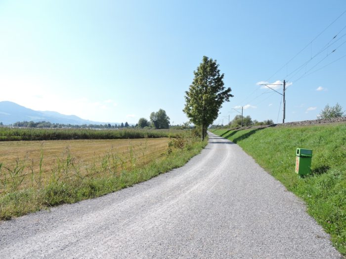
| The route, like a thread of Ariadne, then descends, first slipping on dirt before spreading onto asphalt towards Schmerikon, offering the walker a challenge befitting their courage on a steep slope. |
 |
 |
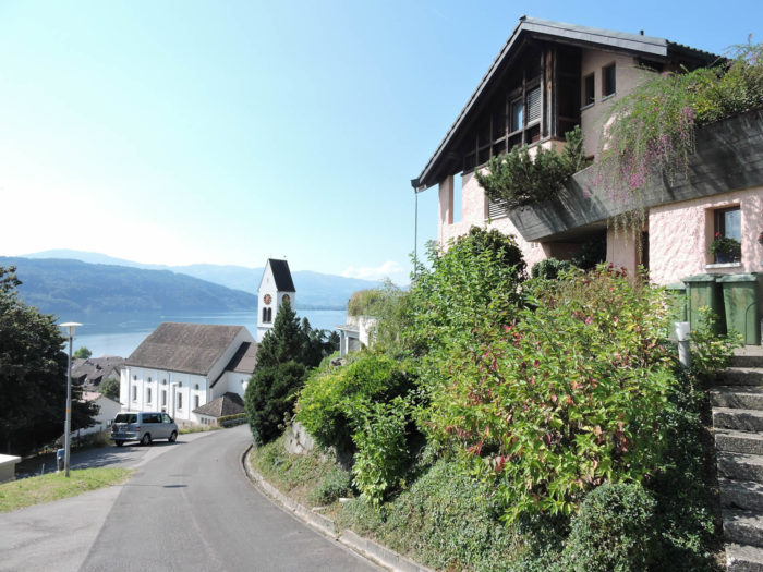
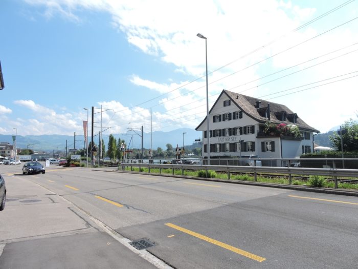
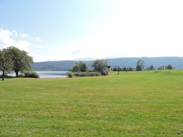
| Schmerikon (population 3,700), a peaceful town on the shores of Lake Zurich, unfolds its charms with enchanting simplicity, offering a welcome refuge from the urban bustle of its larger sister, Zurich, whose frenzy contrasts with the tranquility of the quiet shores. |
 |
 |
From Schmerikon, you can reach Einsiedeln via the Etzel Pass. Until the pass, it’s 23 kilometers with a positive elevation gain of 661 meters and a descent of 120 meters. The route leaves the canton of St. Gallen at the exit of Schmerikon for the canton of Schwyz and passes through Siebenen and Lachen. From the Etzel Pass, the route joins the Via Jacobi coming from Rapperswil. This route is further described in stage 4a.

But before delving into this adventure, a detour to Rapperswil is necessary, as this remarkable city deserves some attention. Thus, it is appropriate to leave the Via Jacobi to take the less traveled path of hiking trail 84, offering the traveler a stroll towards Rapperswil, the jewel of Lake Zurich.

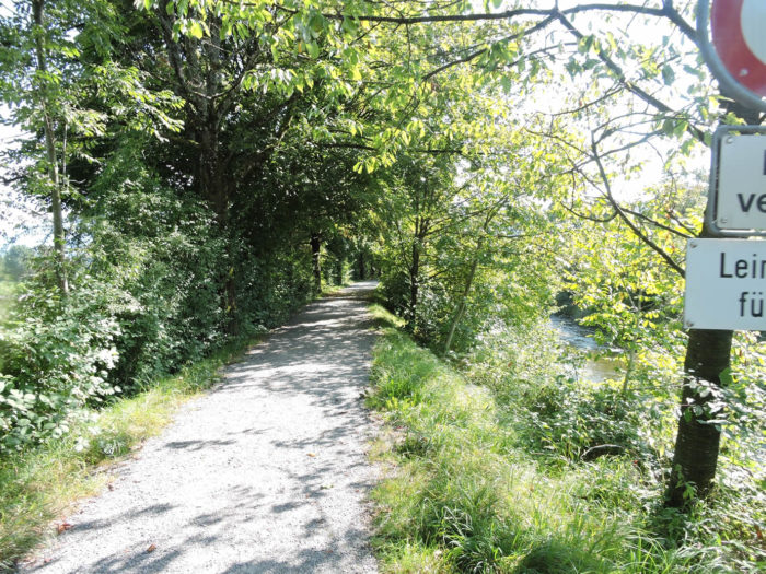
| The route then unfolds between the sparkling lake and the railway tracks, evoking seaside strolls. Initially, it’s a narrow-paved road, offering the walker an enchanted interlude amidst nature. |
 |
 |
| The journey proceeds smoothly for nearly 10 kilometers, punctuated by the soothing murmurs of waves caressing the shores. |
 |
 |
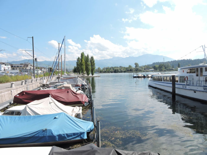
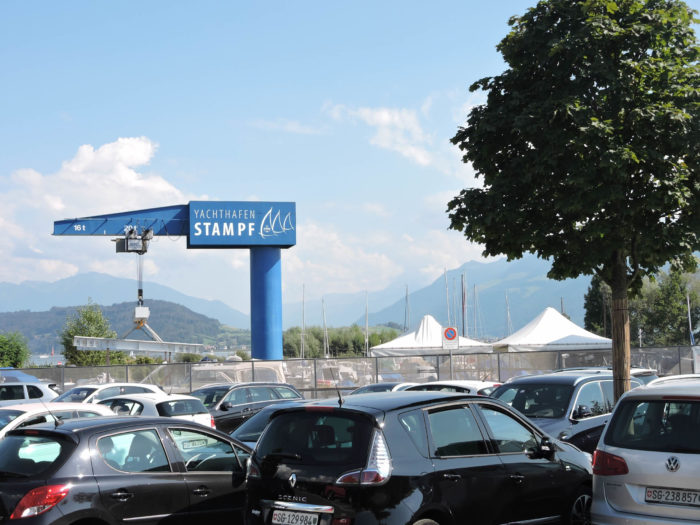
| The road soon runs near the small marina of Ziegelhof. It must be said that, at least in this part of the lake, cruise boats are more often found moored at the port than leisurely cruising the lake’s blue waters. |
 |
 |
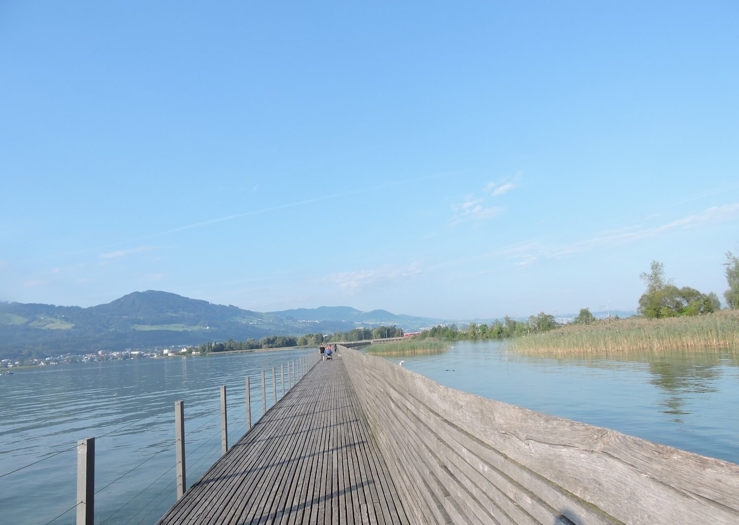
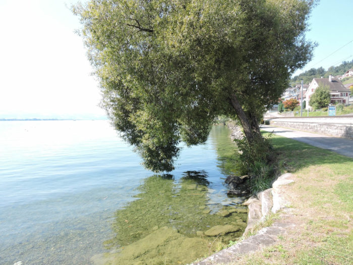
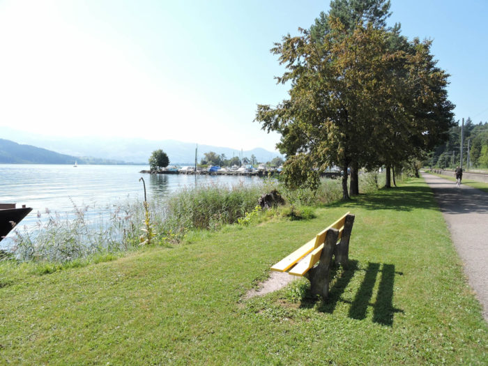
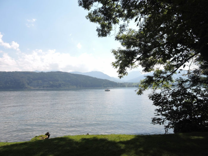
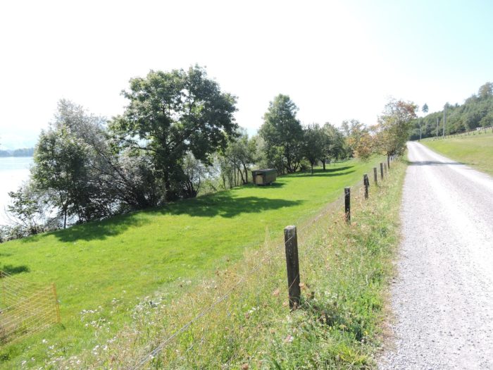
Section 6: A stroll Along the shores of Lake Zurich

Overview of the route’s challenges: a true vacation for the walker.

|
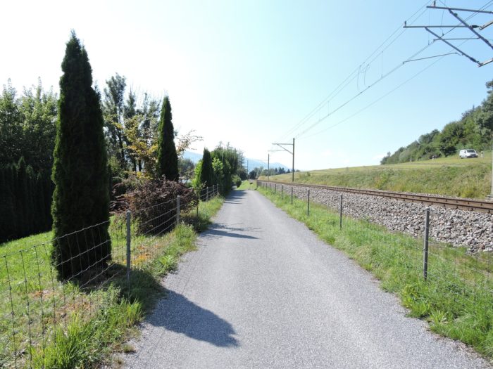
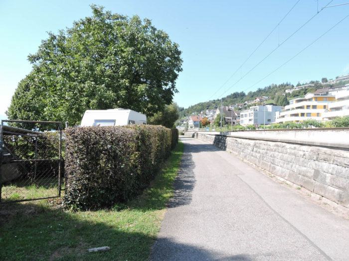
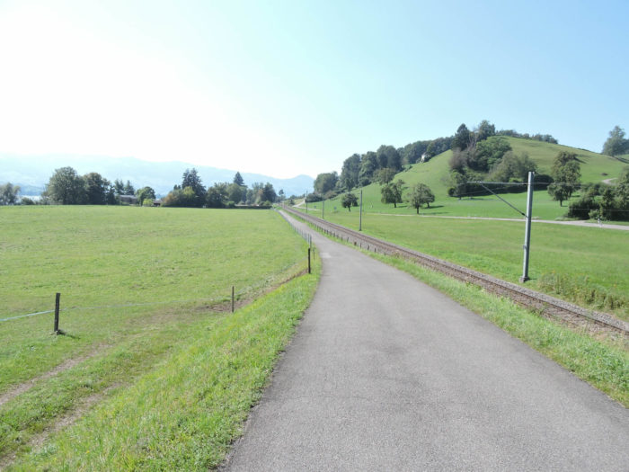
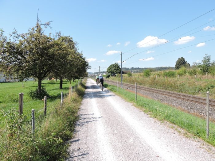
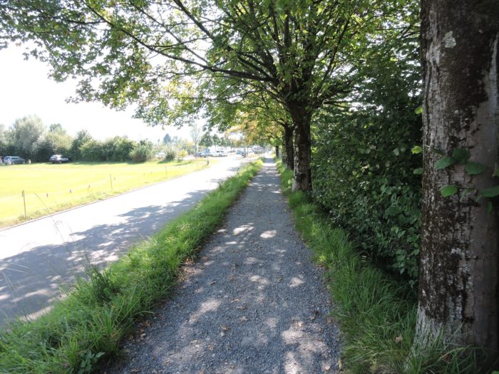
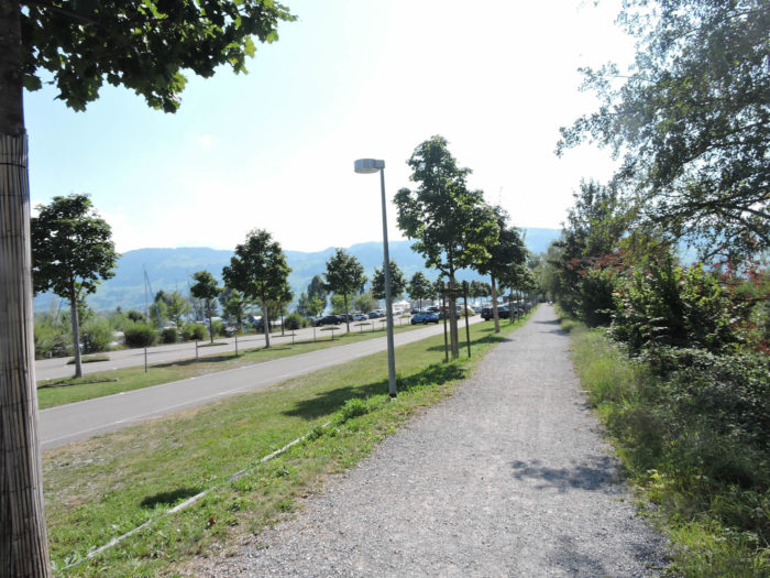
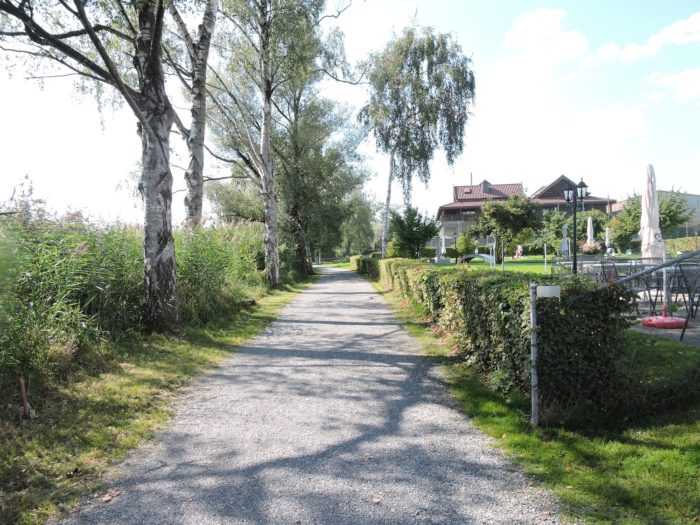
Once upon a time, lakes were the emissaries of tales, winding pathways where the stories of men and goods traveled. Today, they stand as coveted retreats for travelers thirsty for escape. In this infinite expanse of freedom, enthusiasts of pedaling converge, adorned with their colorful gear, sparks of life within the natural canvas. Only the steady rolling of bicycles, faithful companions of the asphalt, and sometimes the distant echo of a train convoy, dare to disturb the ethereal tranquility of these blessed places. Pedestrians, modest actors in this theater of movement, advance with soft steps, aware of the relative slowness of their strides compared to the agility of the velocipedes.
|
 |
 |
|
After half an hour of effortless absence, the road veers towards Ober-Bollingen, a new stage in this lake odyssey.
|
 |
 |
And yet, the horizon promises Rapperswil, distant by more than two hours of travel, a distant prospect that does not soothe the dreams of pilgrims who begin to find the stage long, very long.

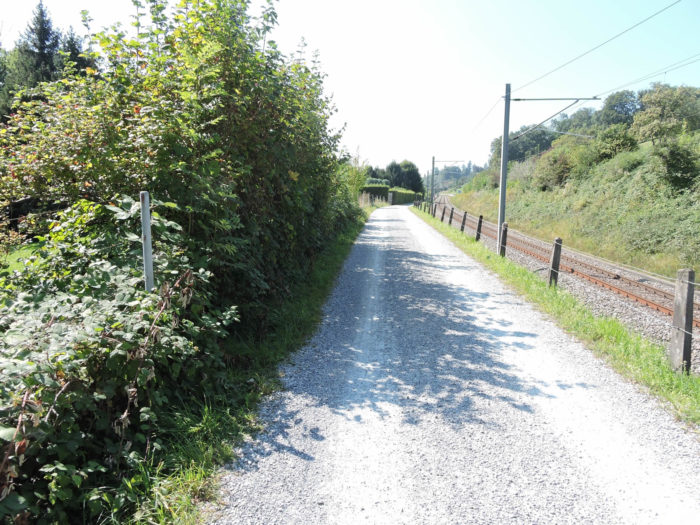
| The scenario does not vary for the rest of the journey, except that, a little further on, the beaten earth soon replaces the asphalt and the path moves further away from the lake. |
 |
 |
Further on still, the roadway and the lake merge, offering a soothing scene to wandering souls. For those initiated into the secrets of Zurich, they will have to surpass Rapperswil, explore the north shore of the lake to the prestigious Gold Coast, between Zollikon and Feldmeilen, where the opulence of the affluent sprawls under the benevolent gaze of a brighter sun and a thriving real estate market. But here, no ostentatious displays! Only the gentle lapping of waves, the solitary fisherman casting his line into the water, the harmony of silence and verdant meadows, punctuated by the incessant ballet of cyclists.
|
 |
 |
| Soon, the Via Jacobi 84 is about to cross the threshold of the peaceful village of Bollingen, a haven of peace on the route of walkers and cyclists. |
 |
 |
| Alternately on asphalt or on dirt trails, the variant veers slightly away from the shore, brushing past modest hamlets or isolated dwellings scattered along the route. |
 |
 |
| Further on still, the road intersects with the level crossing, where a welcome stop extends for those in search of accommodation. . |
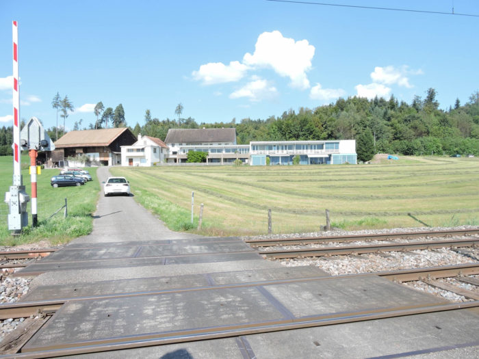 |
 |
| A small station stands there, a discreet witness to the flow of passing time, a silent guardian of a few modest neighboring dwellings. |
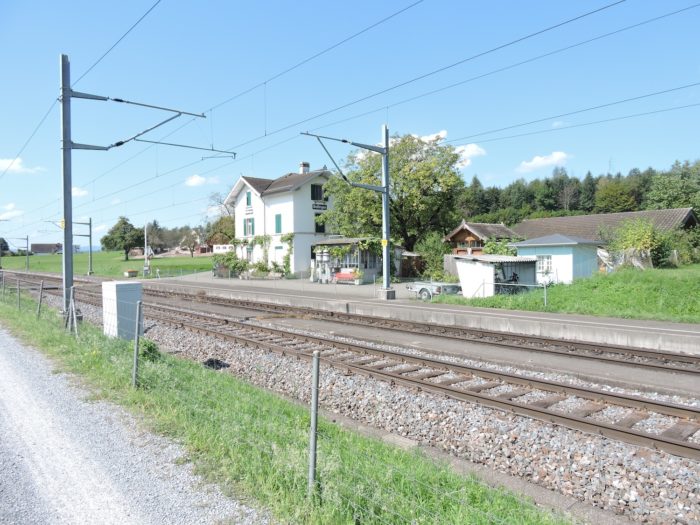 |
 |
Section 7: The route draws closer to Rapperswil

Overview of the route’s challenges: a true vacation for the walker.
|
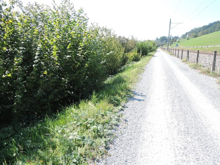
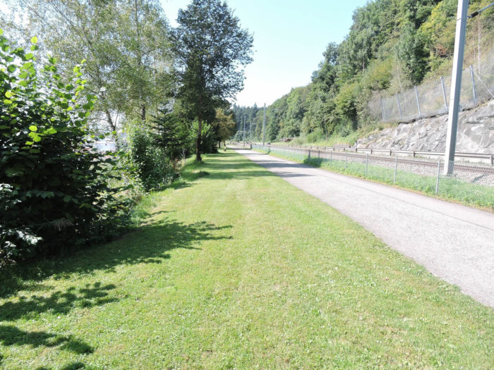
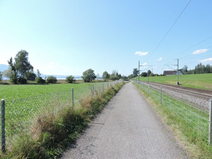
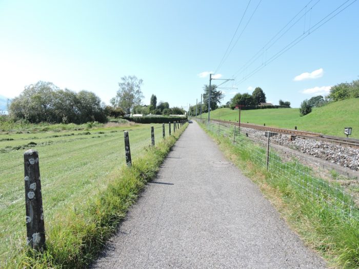
The route unfolds like a ribbon of life, gracefully meandering along the railway track, alternating between hard asphalt and packed dirt, thus weaving a tapestry of stories with each step.
|
 |
 |
|
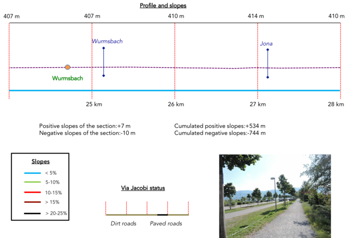
Approaching with an almost timid delicacy is the church of Wurmsbach, discreet under the verdant cloak of fruit trees, like a jewel hidden within nature’s folds.
|
 |
 |
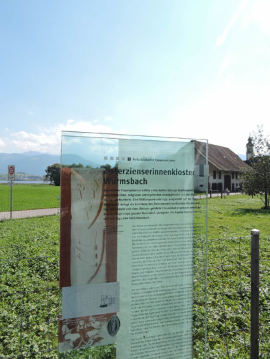
| At this distinguished location lies the convent of Mariazell, a bastion of serenity rooted in the centuries, its presence dating back to the distant times of the 13th century. Witness to the tumults of history, it was often ravaged, especially during the upheavals of the Reformation. In 1843, a learning center for young ladies was established here, a legacy perpetuated to this day. There still remains a handful of sisters, silent guardians of this timeless sanctuary. Both the church and the buildings have endured the ravages of time, adorned with renovations through the ages. Here you are, four kilometers from Rapperswil, in the enchanting embrace of history. |
 |
 |
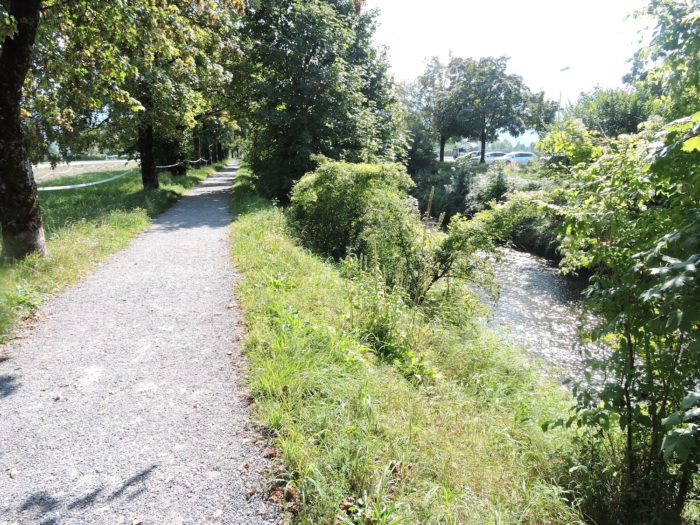
A little further on, the path crosses the Wurmsbach, still caressing the same bucolic landscape, lulled by the whisper of passing bicycles, a discreet symphony in nature’s harmony.
|
 |
 |
| Then it traverses a wilder territory, tinted with swamps and swaying reeds, where even corn flourishes, nourished by the abundance of water. Here, life pulsates a little more, vibrating to the rhythm of the elements. |
 |
 |
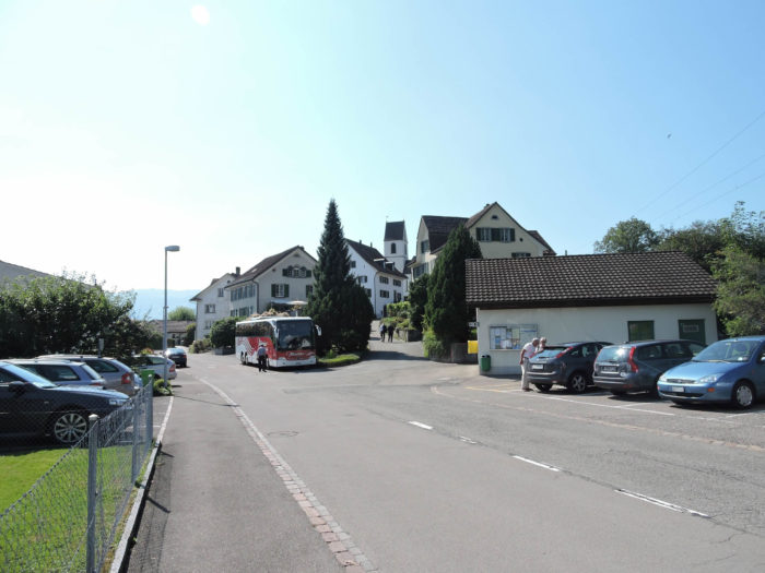
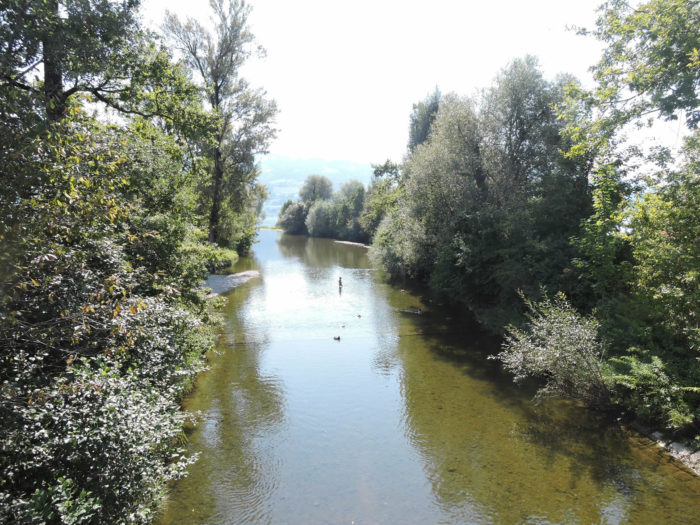
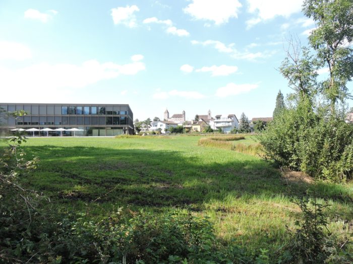
You are now approaching the ramparts of the city as you reach the banks of the Jona. Rapperswil-Jona, born from the union of two entities in 2007, now stretches on both sides of this river that divides the city in two.
| The variant then follows the meanders of the Jona, offering an exquisite stroll, cherished by weekend strollers as well as vacationers seeking escape. |
 |
 |
| Further along, it leads to a majestic avenue lined with centuries-old trees, revealing a popular lakeside parking area, where dreams take flight at the touch of azure waters. |
 |
 |
| Here sprawls an imposing marina, a testament to humanity’s passion for water, while the variant continues along the peaceful riverbanks. |
 |
 |
| It is here, under the benevolent gaze of the swimming pool, that you cross the Jona, the final wake of this dark yet enchanting river that concludes its frenzied course here. |
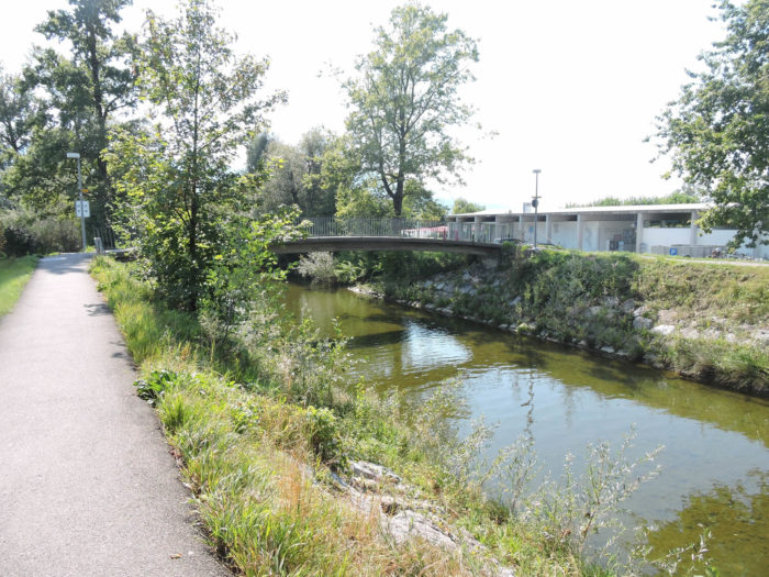 |
 |
| A path timidly crosses to the other side of the bank, respectfully skirting the swimming pool, brushing past the plots of market gardeners, only to reunite with the opposite bank of the pool, like a fleeting dance with civilization. |
 |
 |
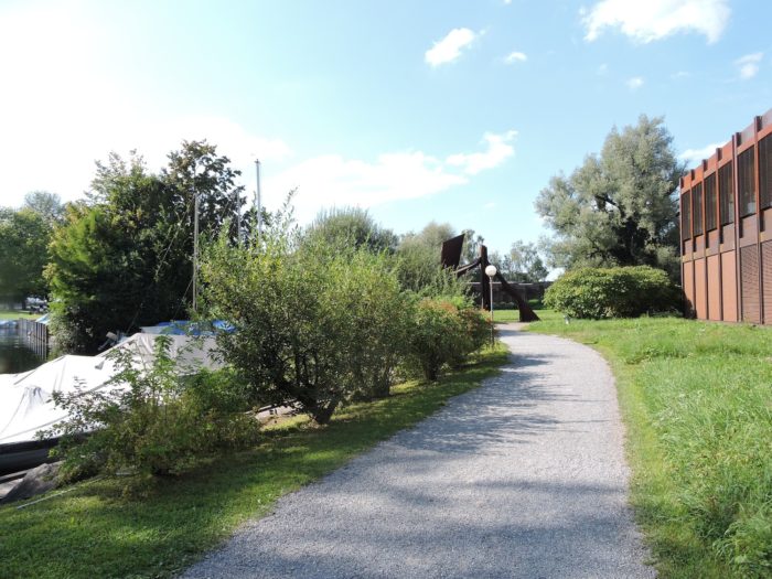
| Soon, the asphalt reappears, a harbinger of the approach to the suburbs of Rapperswil, where urbanity asserts itself, blending its murmurs with nature’s symphony. |
 |
 |
Section 8: In Rapperswil, the jewel of Lake Zurich

Overview of the route’s challenges: a true vacation for the walker.
|
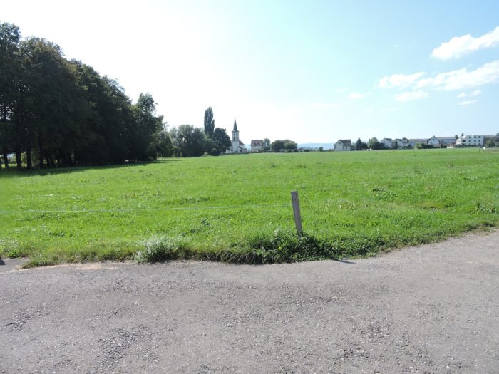
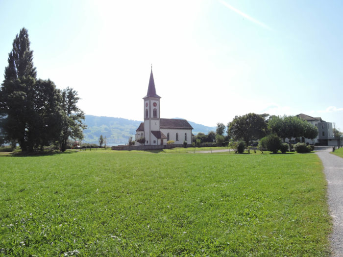
The road then winds near Busskirch, like a thread of history woven into the landscape, once connecting Zurich to Italy, dotted with the remains of a venerable past. At this point, the church, erected during the twists and turns of the Middle Ages, stands proudly, inheriting a centuries-old Roman building, a symphony of stone sculpted by the centuries.
|
 |
 |
|
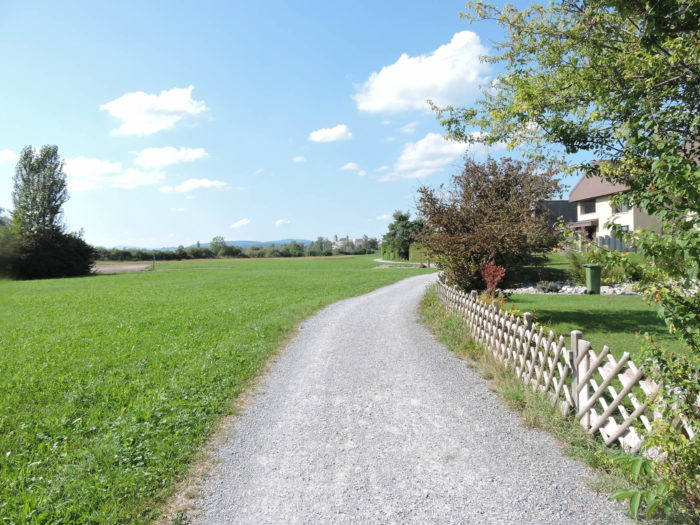
Beyond, a dirt path ventures further, losing itself between the bucolic fringes of the countryside and the emerging urbanity of the suburbs. On the horizon, the majestic silhouette of Rapperswil Castle emerges, like a distant mirage inscribed in the swirls of time.
|
 |
 |
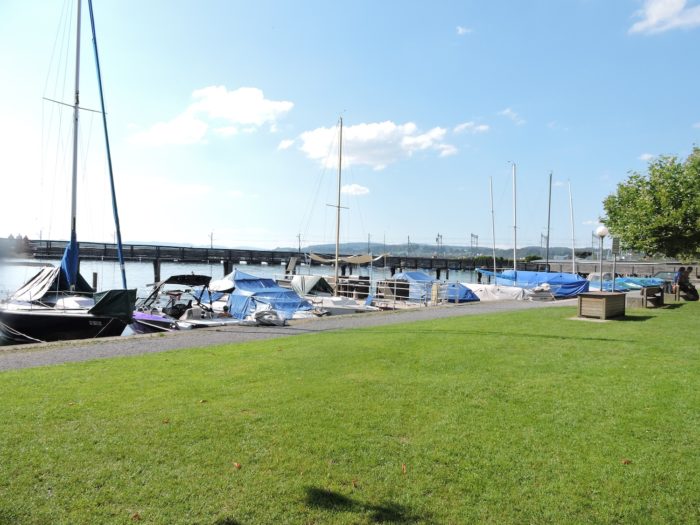
| Further on, the variant wanders among the meanders of a marina, these countless anchorages that line the lake shores like scattered jewels at the mercy of the waves. |
 |
 |
A few steps away lies an immutable institution, an eternal witness to childhood magic and perpetual wonder.
|
 |
 |
| It is here that Circus Knie, a national treasure, takes up its winter quarters, offering both young and old an enchanted refuge where laughter and amazement intertwine. It is a children’s paradise, a zoo full of mothers and strollers, indoors and out. |
 |
 |
| A dirt path snakes along the gardens of Knie Park, its contours blurred by lush vegetation. To your right, the imposing silhouette of the castle reappears, like an immutable sentinel watching over the twists of time. |
 |
 |
| Soon, the promenade opens into a haven of greenery adorned with a new marina, at the edge of the city. |
 |
 |
| Here rises the extraordinary wooden bridge, spanning the waters to guide the steps of pilgrims departing from the city, like a sacred passage to new horizons. |
 |
 |
| At this point, the benevolent shadow of the railway tracks and the road extends, while on the other side, the enchanting splendor of Rapperswil bay unfolds, from the Capuchin Convent on the left to the majesty of the station on the right, like a living fresco where past and present mingle. |
 |
 |
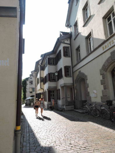
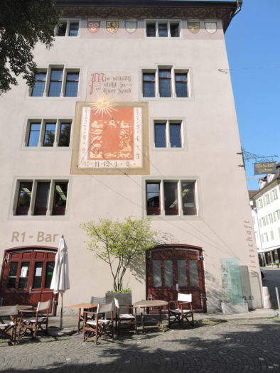
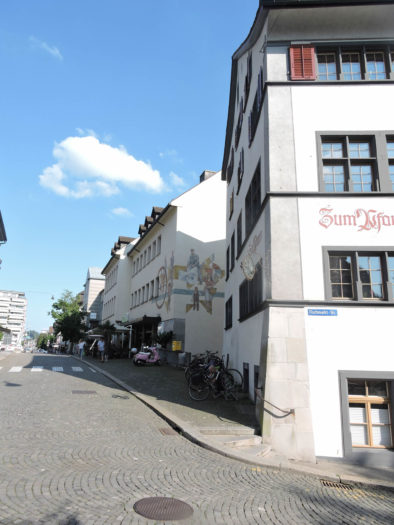
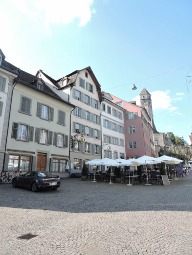
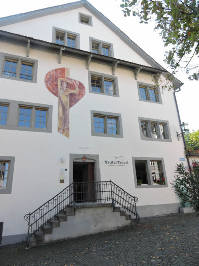
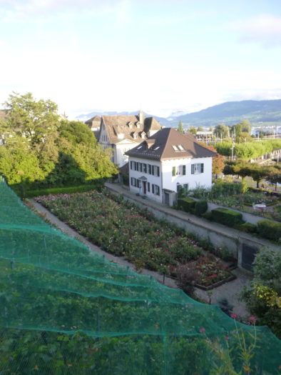
| The roots of the city, planted by the lords of Rapperswil around the 13th century, then nurtured by the constant flow of pilgrims from across the Rhine en route to Einsiedeln, have given birth to the flourishing town that is Rapperswil-Jona today, populated by some 8,000 souls. Rapperswil, the city of roses, where these flowers bloom in public gardens, and where the cobbled streets of the old town, a medieval heritage embellished by the centuries, still echo with the footsteps of travelers. It is amidst the murmurs of the station, the laughter of the shores, and the enchanting charm of the old castle stones that the vibrant heart of Rapperswil beats, a city where it is good to stroll and surrender to the twists of time. |
 |
 |
 |
 |
 |
 |
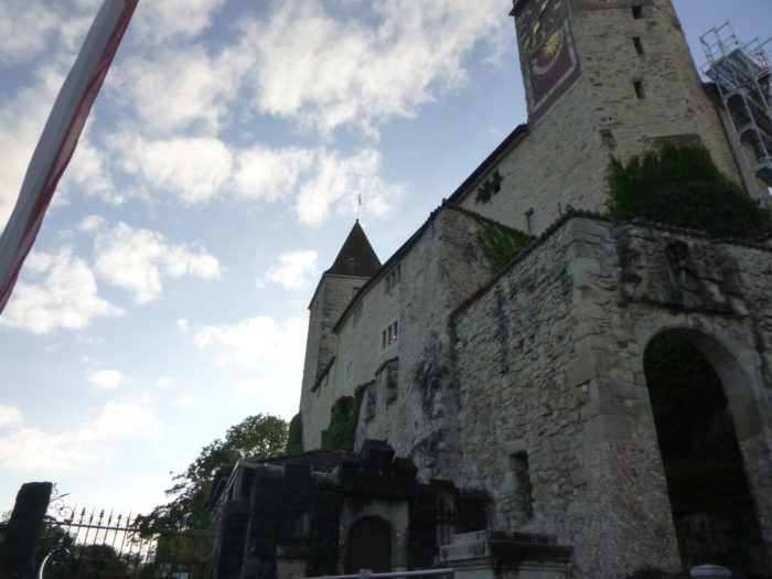
| Charming squares succeed each other as you ascend towards the castle, like pauses in the climb towards the summit of the hill, offering panoramas of the peaceful city. The castle, built in the 13th century, seems frozen in eternity, its towers silent witnesses to the tumults of history. |
 |
 |
| On the esplanade of the castle, in the heart of the 13th century, the adjacent chapel, built around 1200, transformed into a church for the town’s faithful. Later adorned with Romanesque and Gothic towers, it endured through the ages until the devastating fire of 1882. Only the towers, housing the sacristy and the archives containing the precious sacred treasures, escaped the ravaging flames. The new church, dedicated to St. John and built in the neo-Gothic style, was inaugurated in 1885, but it also underwent subsequent modifications. From the esplanade, the gaze wanders through the alleys of the old town below, witnesses to the city’s rich past. |
 |
 |
| The castle and its fortifications were erected by the counts of Rapperswil, acting as « avoués » for the Einsiedeln Abbey. This feudal duty vested them with the protection and legal representation of the abbey’s secular affairs. However, with the extinction of the count’s lineage in the 13th century, the castle fell under the control of the Habsburgs, enduring the ravages of successive wars but always partially rebuilt. After the extinction of the Habsburg lineage in the mid-15th century, the castle returned to the city of Rapperswil. Despite the ravages of time, the castle found new life when, in 1870, a Polish emigrant leased it for 99 years. He undertook its restoration at his own expense, establishing a museum that still exists today. The castle seems frozen in eternity, its towers silent witnesses to the tumults of history. Only the clock and some more contemporary additions betray the passage of years, while the ramparts remain immutable guardians of the secrets of the past. . |
 |
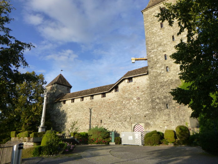 |
| From the peaceful and verdant courtyard of the castle, stretching across the hill, the view encompasses the entire town and its surroundings, offering a breathtaking panorama. |
 |
 |
| At the end of the ramparts, Lake Zurich extends peacefully, bringing an unmatched sweetness and serenity to this historically significant place. |
 |
 |
| Descending the stairs to the Capuchin Monastery, founded in the 17th century, one discovers a renowned rose garden and the cave of St Anthony of Padua, bearing witness to the spirituality and peaceful beauty of this place. Vines and roses dot the landscape, leaving an imprint of grace and charm on this emblematic city. |
 |
 |
| At the bottom of the descent, the lakeshore, with its beautiful bay, invites contemplation and tranquility, offering a unique perspective on this natural gem. |
 |
 |
Accommodation on Via Jacobi
- Famille Stark, Laad; 071 988 78 75; Guestroom (straw), dinner, breakfast
- Pilgerhaus Jeanne d’Arc, Walde; 055 284 23 85/079 448 27 73; Guestroom, dinner, breakfast
- Gasthaus Zum Kreuz, Walde; 055 284 19 19/079 871 97 58; Hotel, dinner, breakfast
- Bauernhof Urs Tschümperlin, St Gallenkappel; 055 284 12 44/079 308 63 52; Guestroom (straw), dinner, breakfast
- Schwitter, Holzgasse 9, St Gallenkappel; 055 284 12 14; Guestroom, breakfast
- Gasthaus Rössli, Rickenstrasse 35, St Gallenkappel; 055 284 14 44/079 716 40 69; Hotel, dinner, breakfast
- Landgasthof Krone, Rickenstrasse 60, St Gallenkappel; 055 284 14 50; Hotel, dinner, breakfast
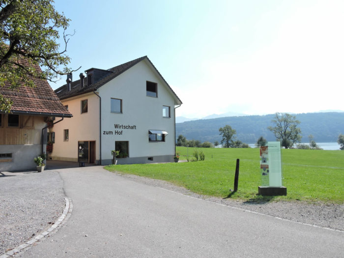
- Gasthaus Ochsen, Neuhaus; 055 282 35 86; Hôtel, dinner, breakfast
- B&B Joseph&Agatha Boos, Kreuzgasse 26, Schmerikon; 055 282 22 76/079 623 24 00; Guestroom, breakfast
- Einrad Dossenbach, Goldbergweg 4, Schmerikon; 076 370 88 89; Guestroom, dinner, breakfast
- Hôtel Seehof, Schmerikon; 055 282 16 33; Hotel***, dinner, breakfast
- Strandhotel, Schmerikon; 055 282 56 00; Hotel****, dinner, breakfast
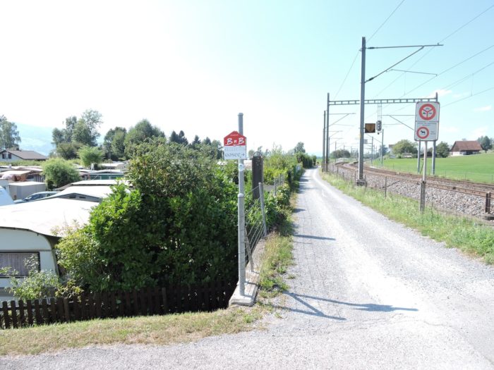
- B&B Oase, Staffeln 14, Bollingen; 055 212 65 45; Guestroom, breakfast
- Cloître de Wurmsbach, Wurmsbach; 055 225 49 00; Guestroom, cuisine
- Homas & Judith Gügler, Wurmsbach; 055 212 37 44; Guestroom (straw), breakfast
- Pilgerherberge, Seestrasse 5, Rapperswil/Jona; 079 886 73 37; Gîte, cuisine
- Jugendherberge, Hessenhoferweg 10, Rapperswil/Jona; 055 210 99 27; Youth hostel, dinner, breakfast
- Iten Erika, Jonaportsrasse 23, Rapperswil/Jona; 055 212 23 05/079 227 38 23; Guestroom, breakfast
- Gasthof Zum Zimmermann, St Gallerstrasse 105, Rapperswil/Jona; 055 225 37 37; Hotel, dinner, breakfast
- Gasthof Kreuz, St Gallerstrasse 30, Rapperswil/Jona; 055 225 53 53; Hotel, dinner, breakfast
- Gasthaus Krone Kemptraten, Rütistrasse 6, Rapperswil/Jona; 055 210 90 00; Hotel, dinner, breakfast
- Jakob Hôtel, Hauptplatz 11, Rapperswil/Jona; 055 220 00 50; Hotel***, dinner, breakfast
- Best Western Hotel Speer, Bahnofstrasse 5, Rapperswil/Jona; 055 220 89 00; Hotel***, breakfast
- Hôtel Hirschen, Fischmarktplatz 7, Rapperswil/Jona; 055 220 61 80; Hotel****, breakfast
It is not difficult to find accommodation on this stage. There are plenty of places to stay and eat along the way. You will be at the end of the stage in a town with all the necessary shops. Nevertheless, it is advisable to book in advance for safety.
Feel free to add comments. This is often how you move up the Google hierarchy, and how more pilgrims will have access to the site.
|
 |
Next stage : Stage 4a: From Rapperswil to Einsiedeln |
|
 |
Back to menu |