At the foot of the legendary Mythen
DIDIER HEUMANN, ANDREAS PAPASAVVAS
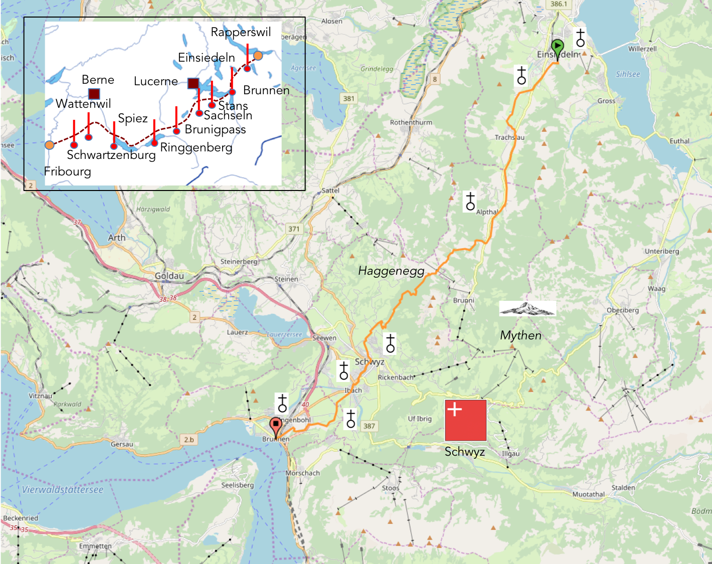
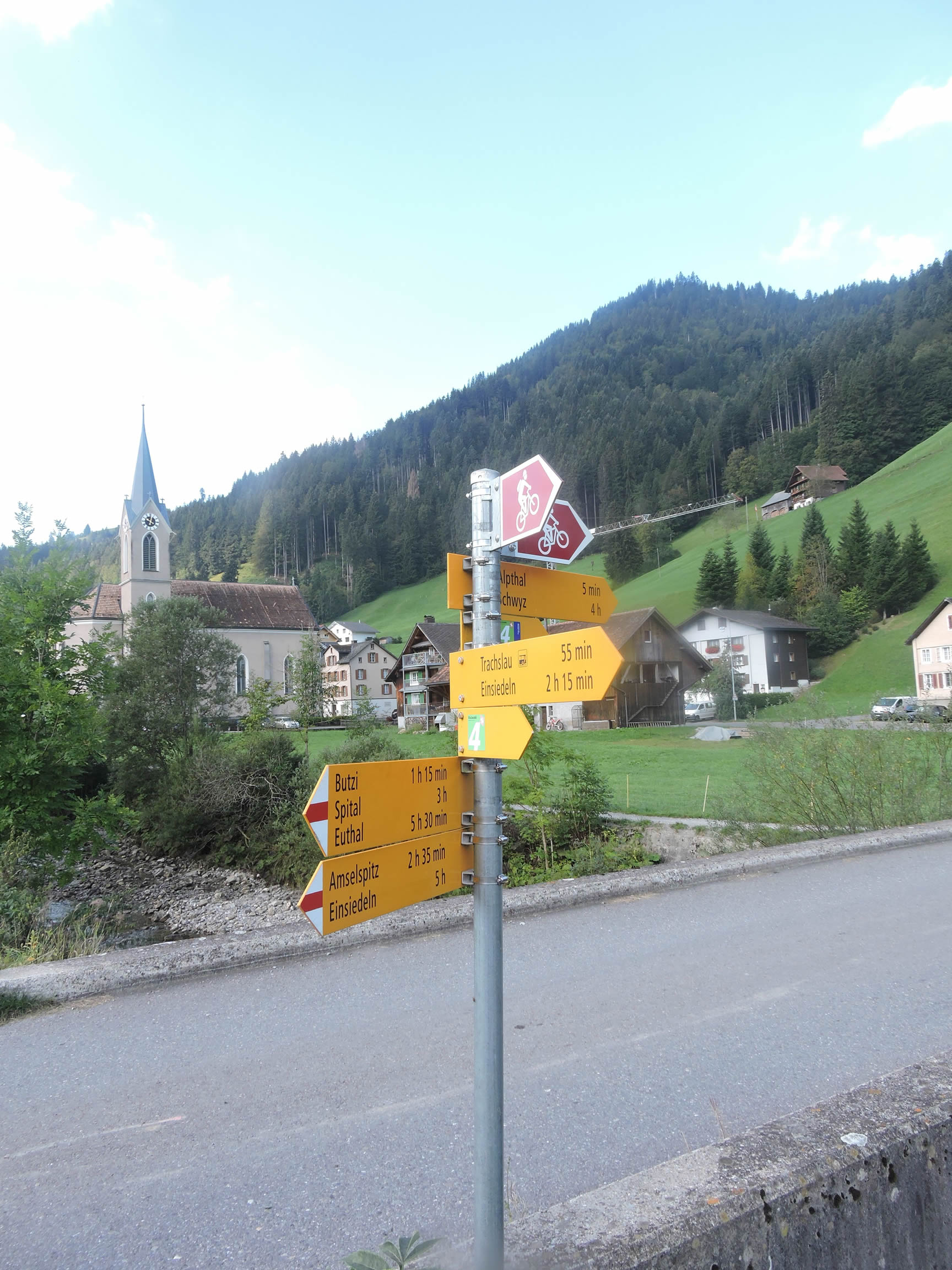
We divided the course into several sections to make it easier to see. For each section, the maps show the course, the slopes found on the course, and the state of the route (paved or dirt roads). The courses were drawn on the « Wikilocs » platform. Today, it is no longer necessary to walk around with detailed maps in your pocket or bag. If you have a mobile phone or tablet, you can easily follow routes live.
For this stage, here is the link:
https://fr.wikiloc.com/itineraires-randonnee/de-einsiedeln-a-brunnen-par-la-via-jacobi-4-32021330
|
Not all pilgrims are necessarily comfortable using GPS or navigating routes on a mobile device, and there are still many areas without an internet connection. For this reason, you can find several books on Amazon dedicated to the major Via Jacobi 4 route, which runs through the heart of Switzerland and over the Brünig Pass. The first guide leads pilgrims through the German-speaking part of Switzerland up to Fribourg, while the second continues through French-speaking Switzerland to Geneva. We have also combined these two books into a compact, lighter, and highly practical version. While the descriptions have been slightly condensed, they remain detailed enough to guide you step by step along the way. Recognizing the importance of traveling light, this latest edition has been designed to provide only the essentials: clear and useful information, stage by stage, kilometer by kilometer. The stages have been carefully adjusted to ensure accessibility and alignment with available lodging options. These books go beyond simple practical advice. They guide you kilometer by kilometer, covering all the crucial aspects for seamless planning, ensuring that no unexpected surprises disrupt your journey. But these books are more than just practical guides. They offer a complete immersion into the enchanting atmosphere of the Camino. Prepare to experience the Camino de Santiago as a once-in-a-lifetime journey. Put on a good pair of walking shoes, and the path awaits you.
|
|
 |
If you only want to consult lodging of the stage, go directly to the bottom of the page.
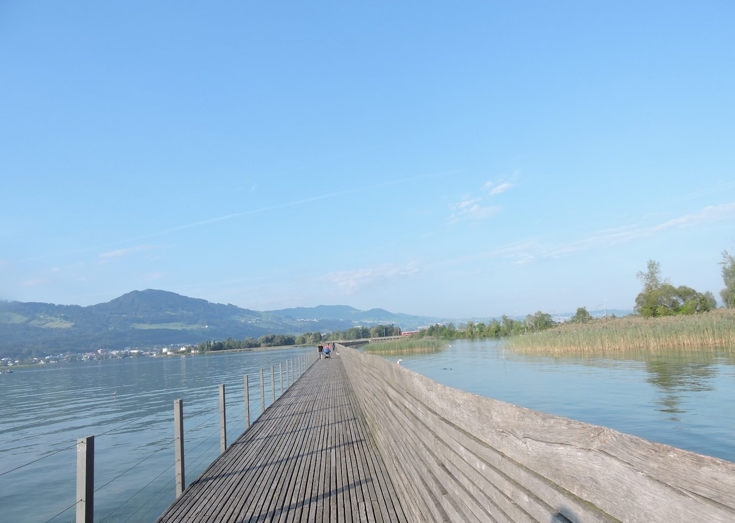
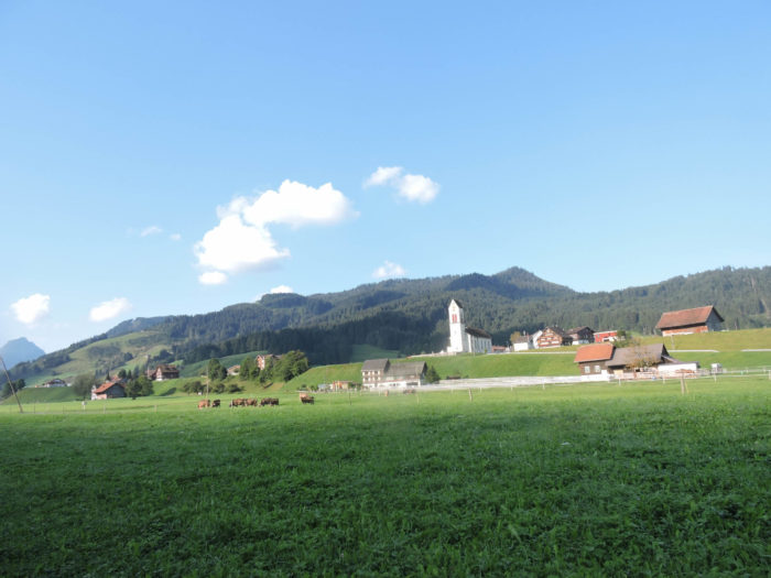
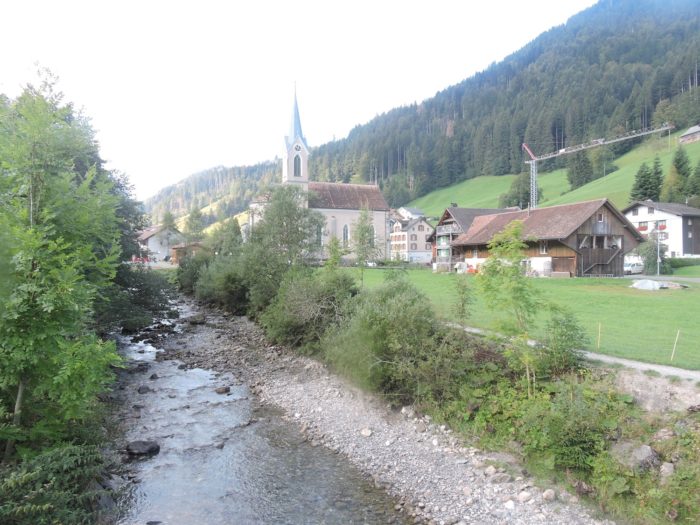
Today, your journey leads you through the twists and turns of the mountains to the sublime Lake Luzern, a jewel nestled in the heart of original Switzerland. Its waters, akin to nourishing veins, stretch between the cantons of Uri, Schwyz, Unterwald, and Luzern, forming arms reminiscent of majestic fjords. Here, in this cradle of the Swiss nation, anchor the roots of its history, woven with legendary tales and emblematic heroes such as William Tell and Arnold Winkelried, figures whether real or mythical, who traversed these myth-laden lands. The echo of the oath of the Grütli of 1291 still resounds in the valleys, an immutable testimony to an era where men, braving uncertainty, committed to the future of their nascent homeland. Despite the changing winds of history that sometimes blow over these narratives, the soul of Central Switzerland remains the historical and touristic beacon of the Swiss Confederation, with Lake Lucerne as its epicenter, a mirror of centuries gone by.
Here, the contours of history unfold along the tranquil waters or around the steep paths of the mountains overlooking the lake. Before admiring the elegant steamers gliding on its waters, one must traverse the rugged peaks of the Mythen, majestic sentinels towering since Einsiedeln. For the traveler, whether novice or seasoned, each step reveals an enchanting landscape, steeped in charm and heritage, where every grove hides treasures and every hamlet tells a tale.
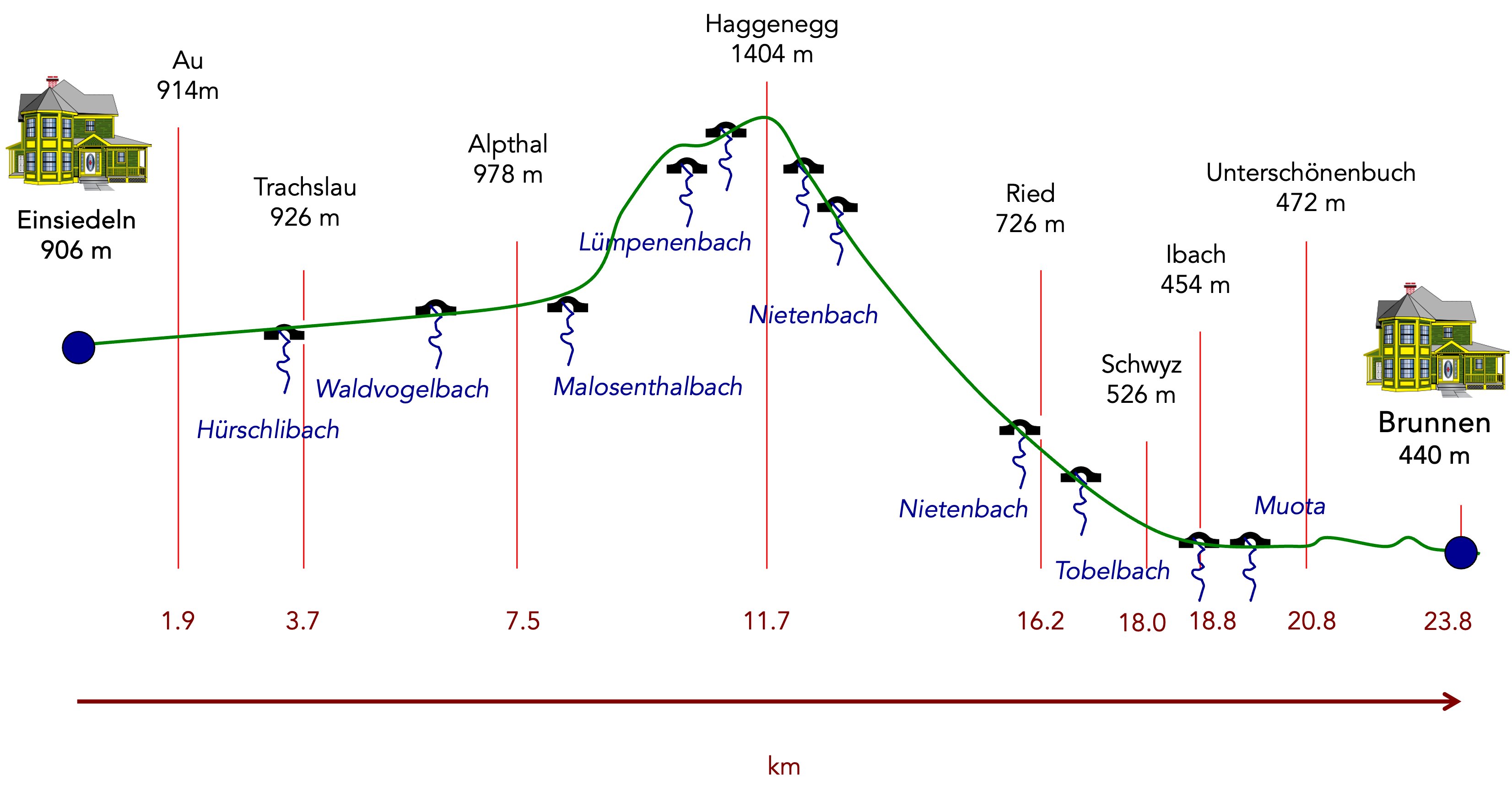
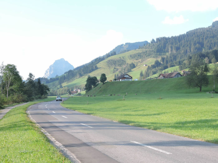
Difficulty level: The journey presents itself as a dance with elevations, with dizzying descents and strenuous ascents (+595 meters/-1031 meters), revealing the splendor of the relief of the canton of Schwyz. If the beginning of the journey seems like a gentle stroll along the valley where the Alp murmurs, the demanding ascent through the forest to the pastures of Hagenegg, at the foot of the two Mythen, sets its pace. Then, the steep and seemingly endless descent first leads to Schwyz, the cantonal capital, before smoothly reaching Brunnen, a haven of peace on the shores of Lake Luzern.
State of the Via Jacobi: In this stage, the majority of the journey unfolds on forest trails, where every step resonates like an invitation to discover nature in all its splendor:
- Paved roads: 9.0 km
- Dirt roads : 14.8 km
Sometimes, for reasons of logistics or housing possibilities, these stages mix routes operated on different days, having passed several times on these routes. From then on, the skies, the rain, or the seasons can vary. But, generally this is not the case, and in fact this does not change the description of the course.
It is very difficult to specify with certainty the incline of the slopes, whatever the system you use.
For those seeking « true elevations » and enthusiasts of genuine altimetric challenges, carefully review the information on mileage at the beginning of the guide.

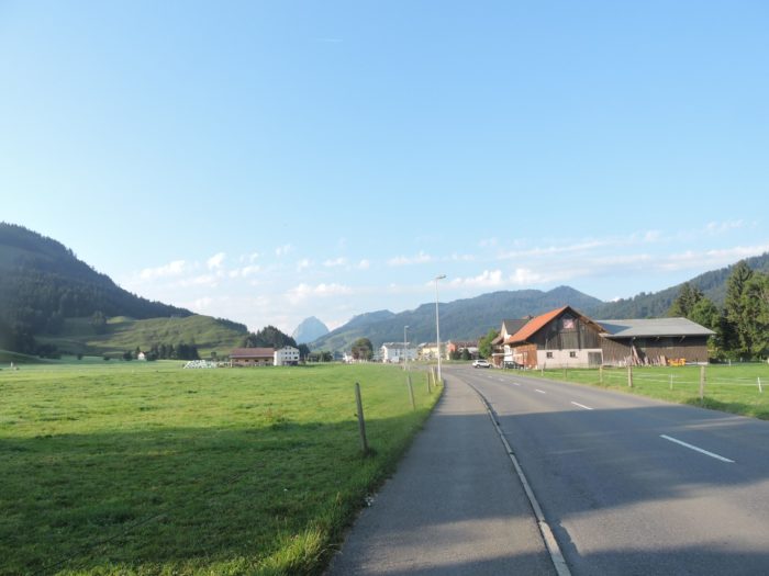
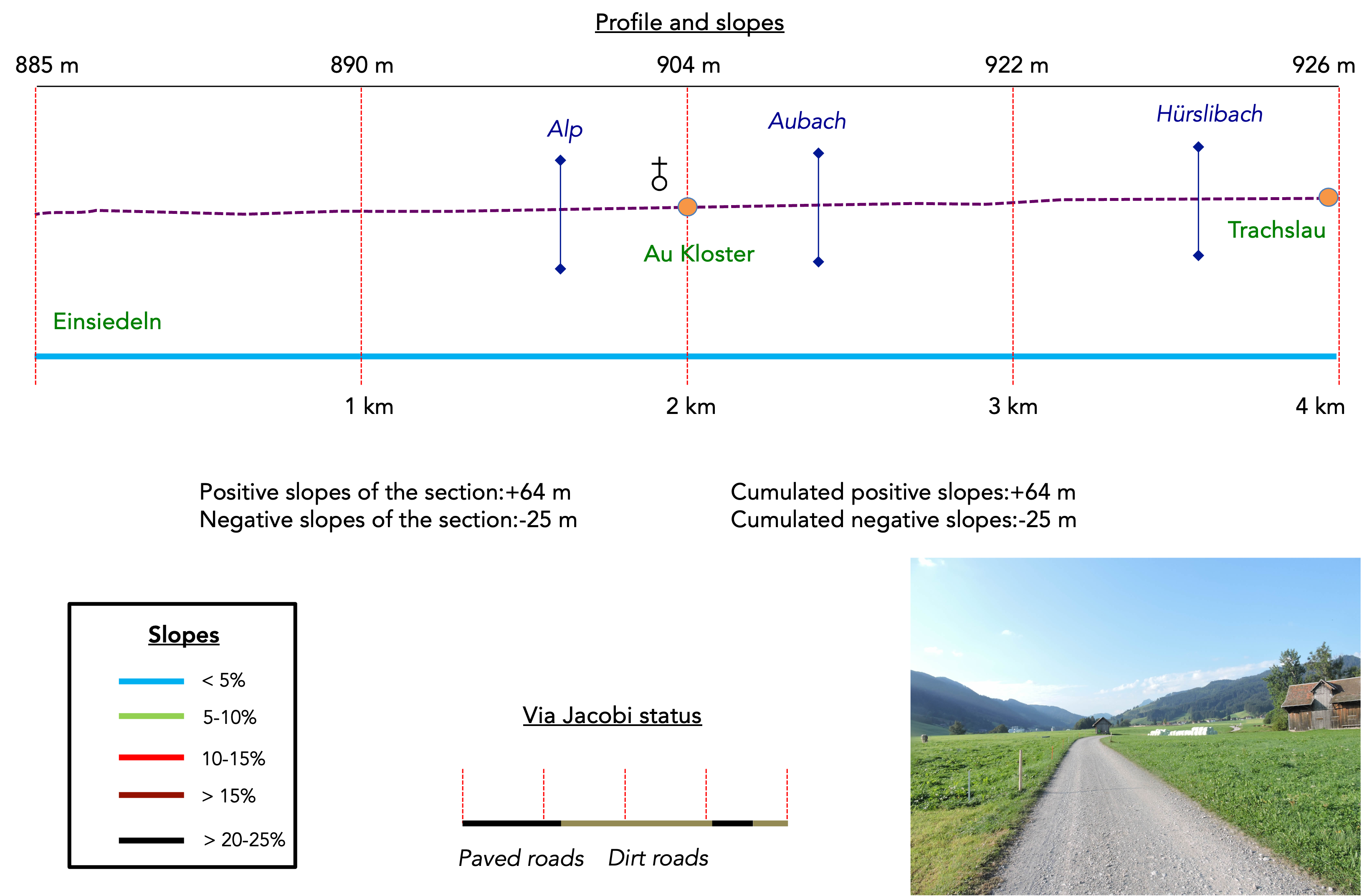
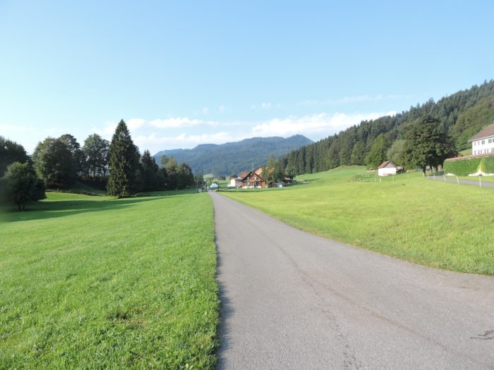
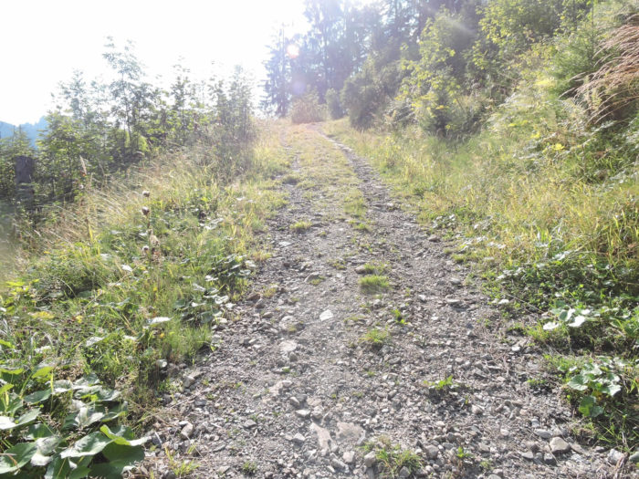
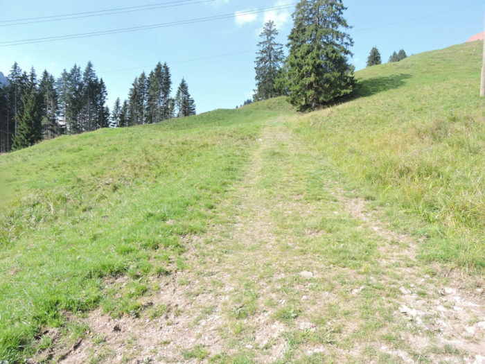
Section 1: Following the Alp as It gently winds through the valley
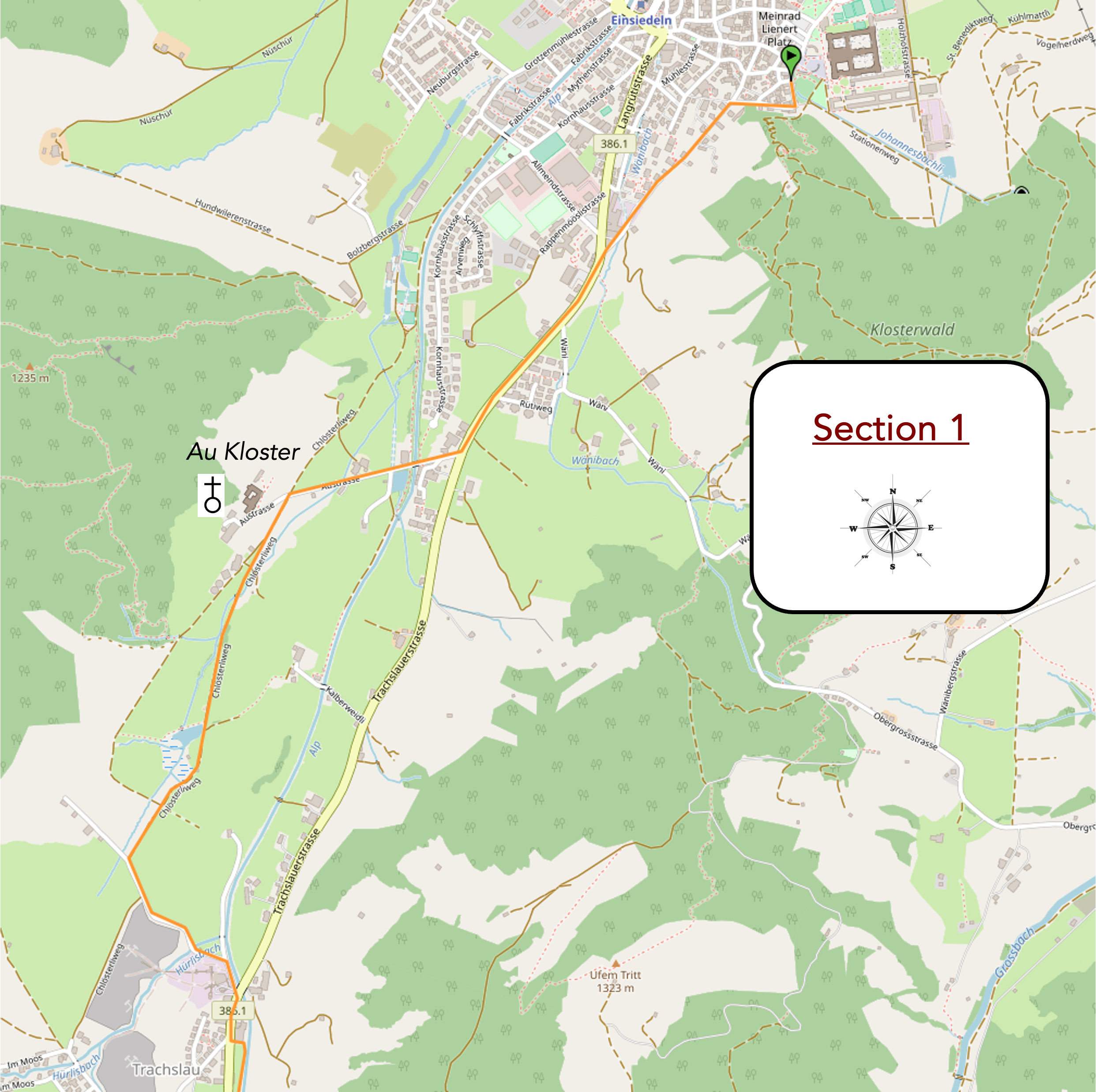
Overview of the route’s challenges: an easy route.
|
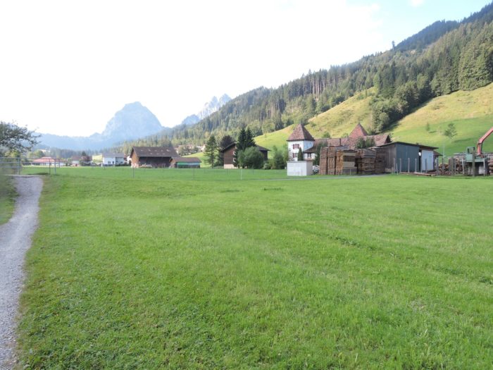
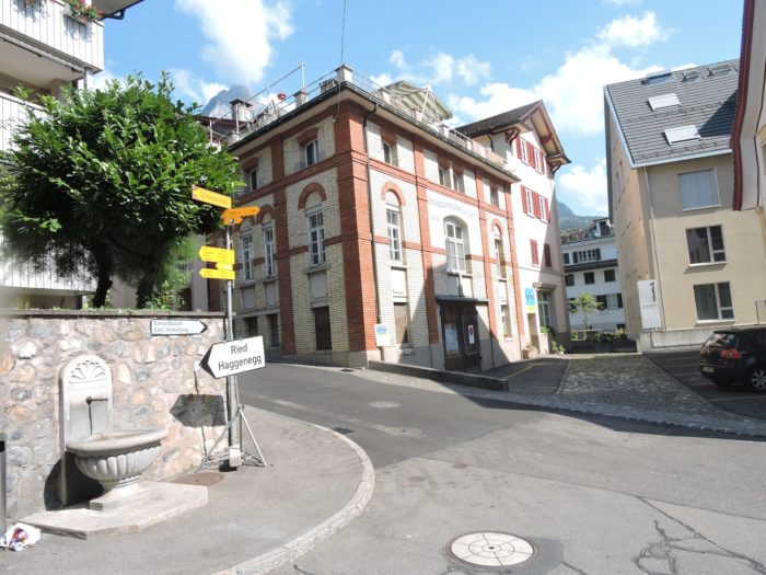
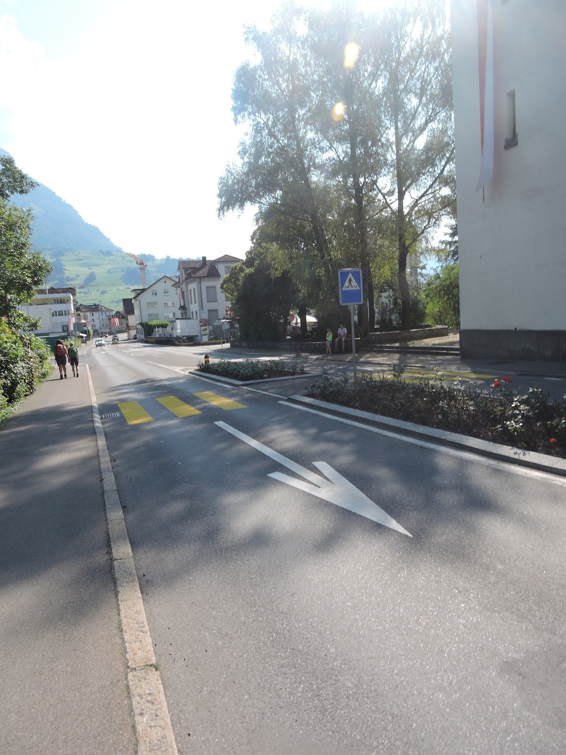
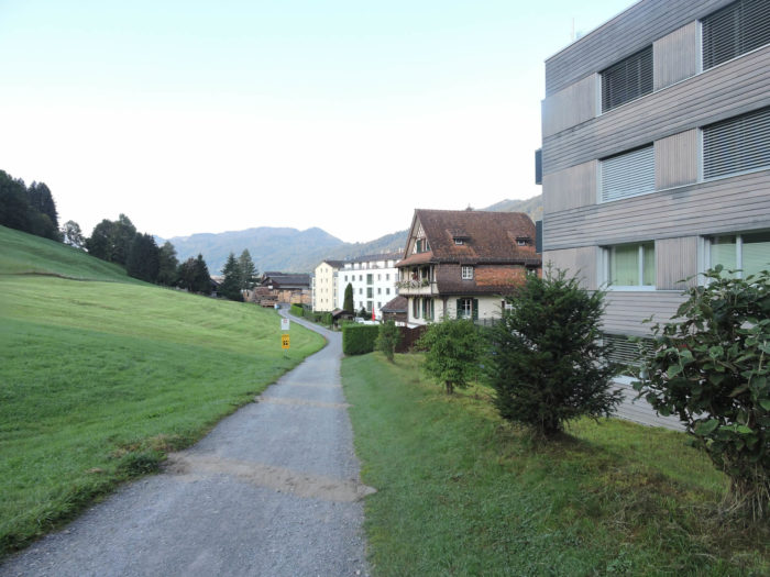
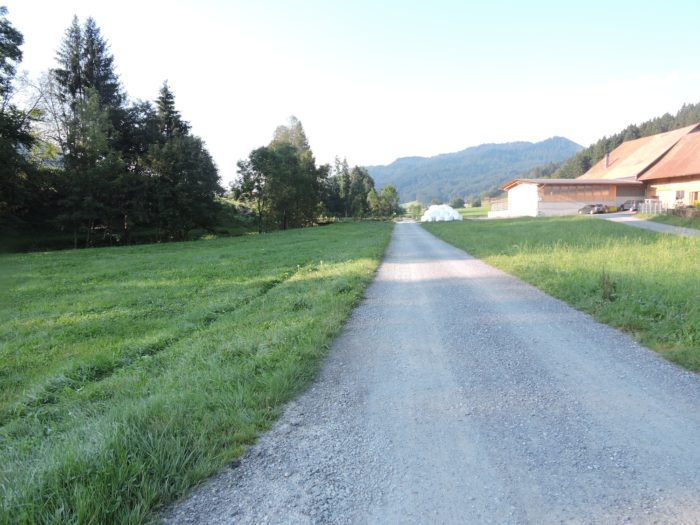
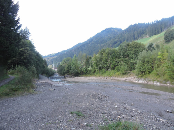
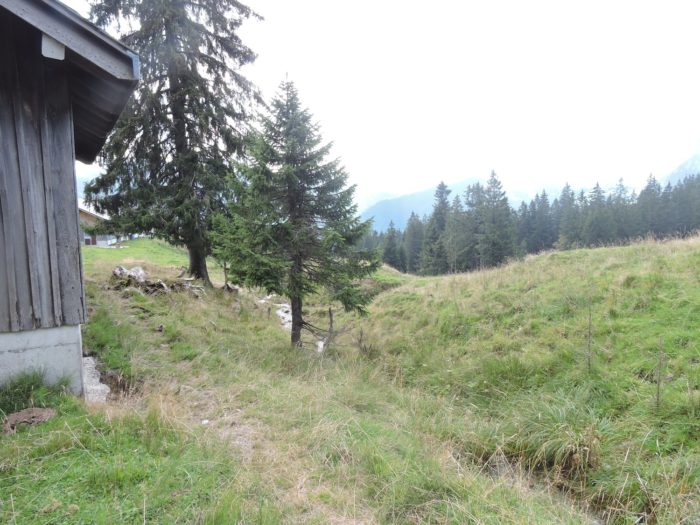
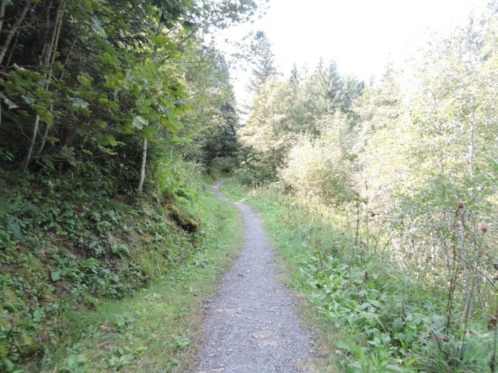
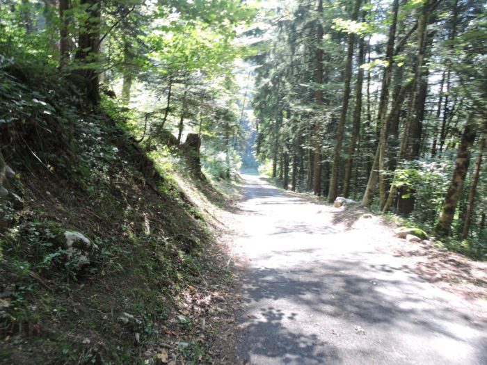
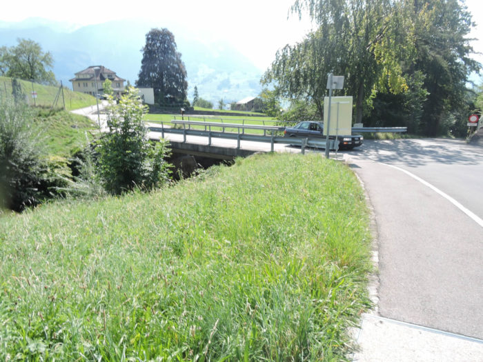
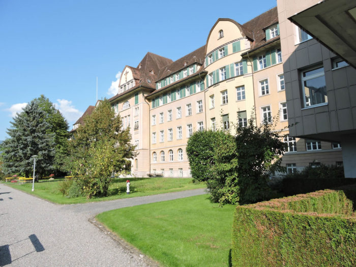
The journey begins in Einsiedeln, where the monastery, like a great stone vessel, seems to sail atop the heights of the city, its imposing silhouette reigning over the rooftops below. This sacred pilgrimage site, where the prayers of past centuries still seem to resonate, marks the starting point of a journey in which every step is steeped in history. The route unfolds before you, at times draped in modern asphalt, at times clad in packed earth, softened by the countless footsteps of pilgrims past and present.
|
 |
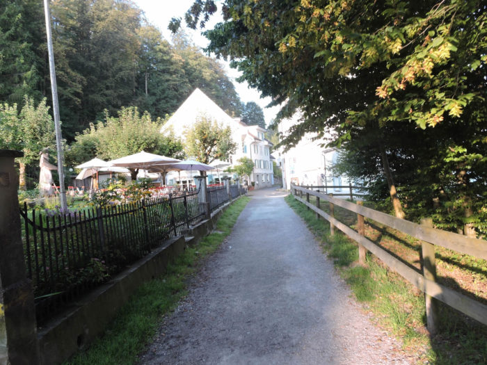 |
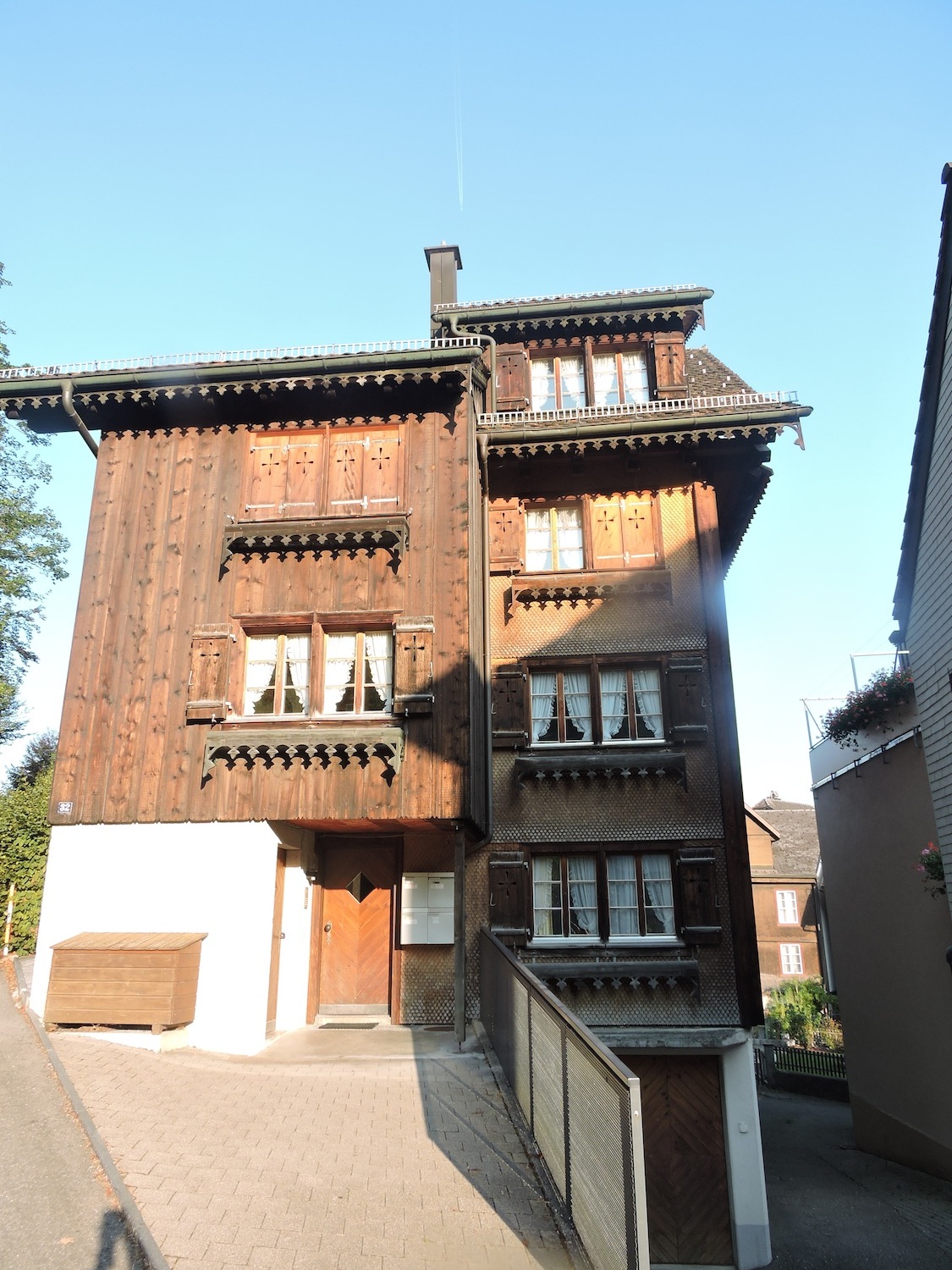
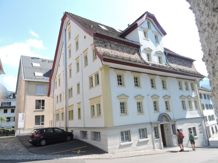
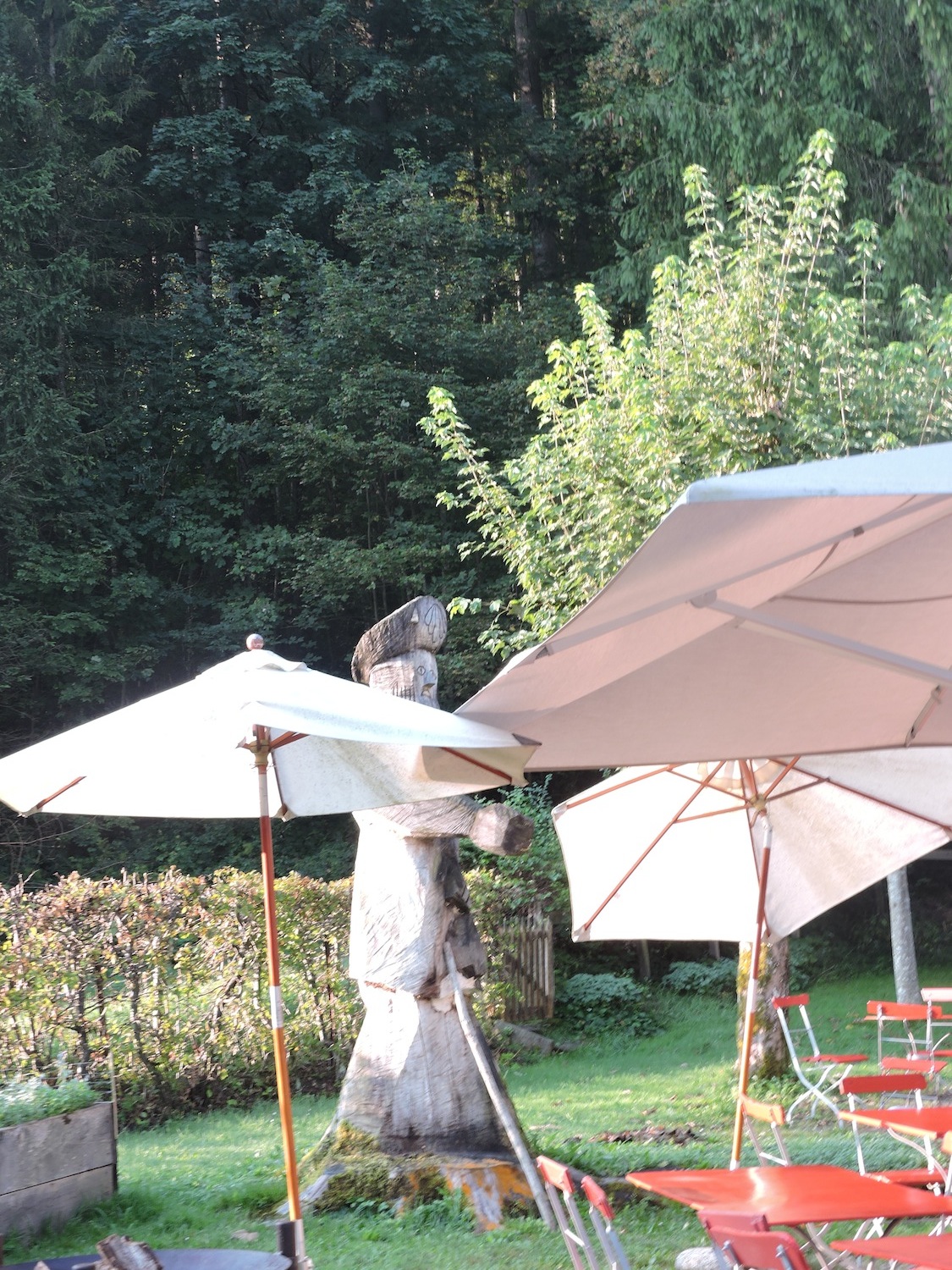
| From the very first steps, the route feels like a gentle caress, stretching through a peaceful park along opulent residences, silent witnesses to a bygone era of grandeur. These stately homes stand with an almost regal stillness, watching over travelers like a noble lady, gazing melancholically at the quiet ballet of passersby beneath the trees. |
 |
 |
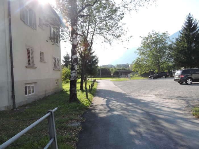
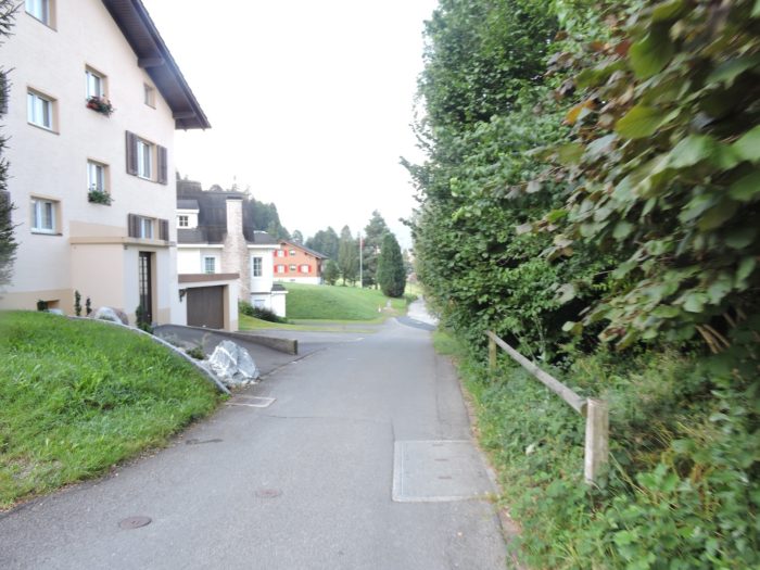
| Little by little, the route, like Ariadne’s thread, glides along the road toward the outskirts, weaving its way through residential neighborhoods where domestic tranquility reigns. |
 |
 |
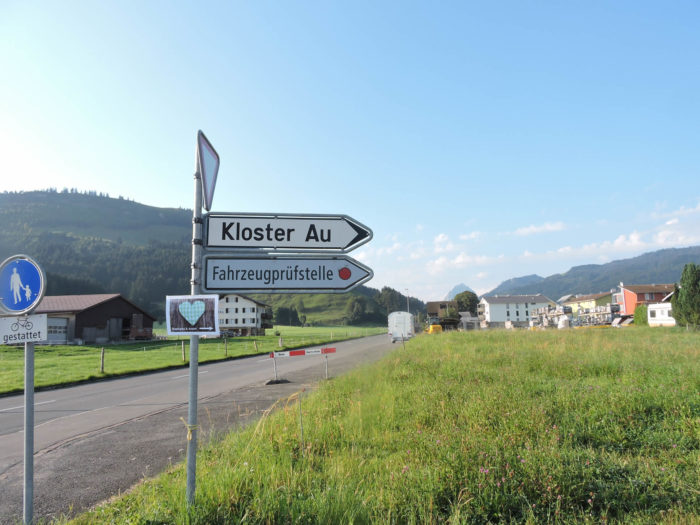
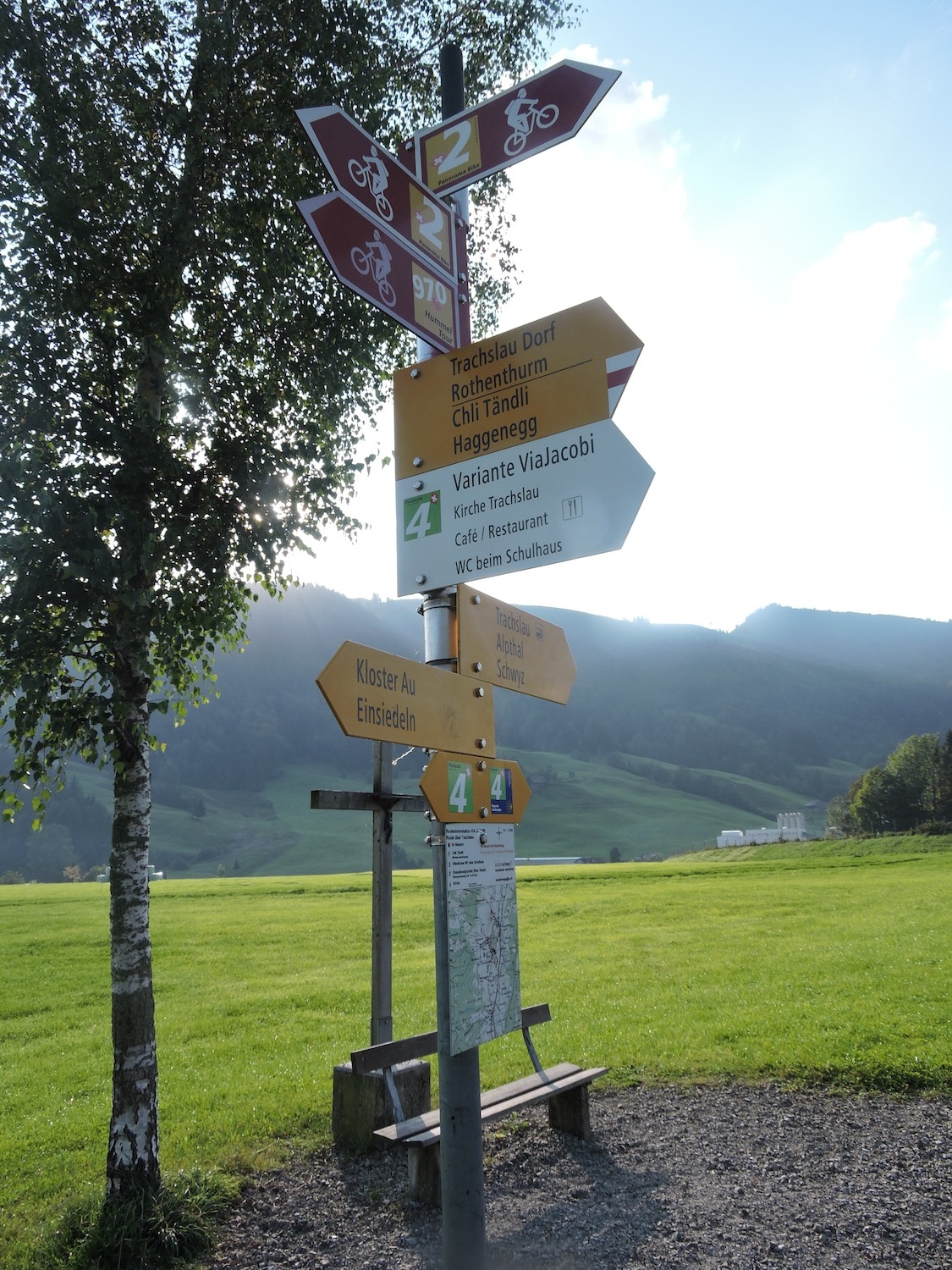
| Like a river embracing the curves of the land, the Via Jacobi then joins the road to Alpthal, following its meanders with an almost devotional fidelity. It strays from it only to head, at a crossroads, toward the cloister of Au, where time seems to stand still. |
 |
 |
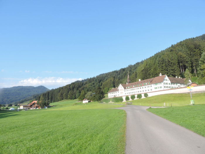
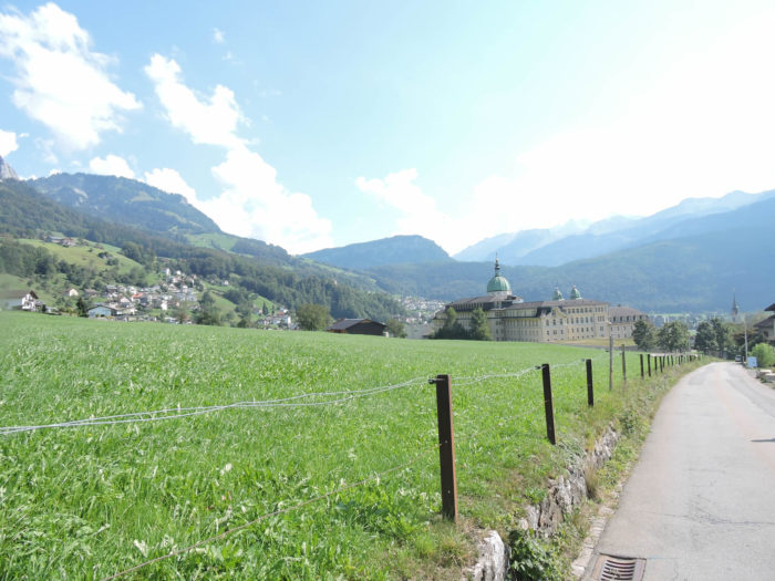
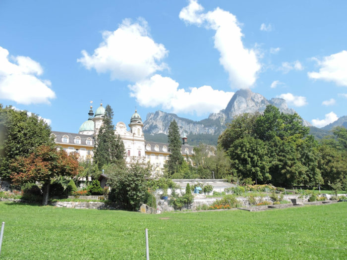
| There, a narrow road, lined with wild hedgerows and bathed in the murmuring of the river, guides the walker to the sanctuary of Au. Nestled in a haven of greenery, this cloister, founded in the 14th century, has witnessed the flourishing of Benedictine devotion through the ages. Its walls, weathered by centuries of breath and prayer, still bear the imprint of those lives dedicated to silence and faith. Today, only a handful of sisters keep its legacy alive, guardians of a past that, far from fading, seems to anchor itself ever more deeply into the stone. |
 |
 |
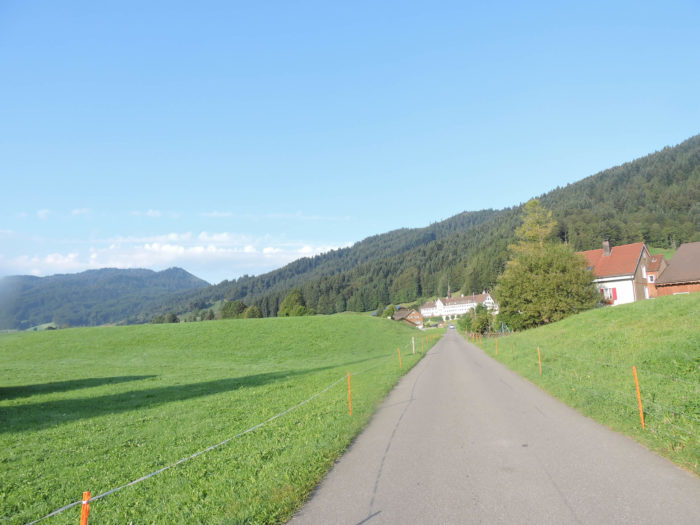
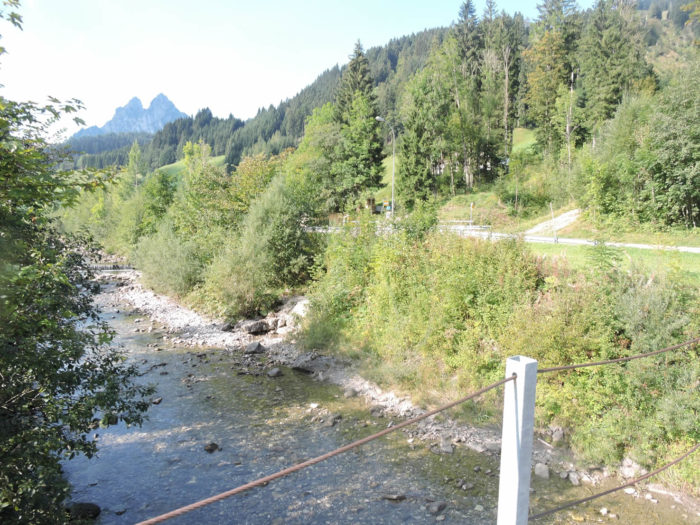
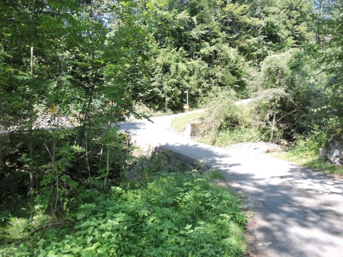
| From the cloister, a modest dirt road stretches like an unspooled ribbon, winding between fields and meadows. Beside it, the Aubach stream whispers its confidences to solitary walkers, while on the horizon, the mountains stand watch—immovable sentinels draped in light and shadow. |
 |
 |
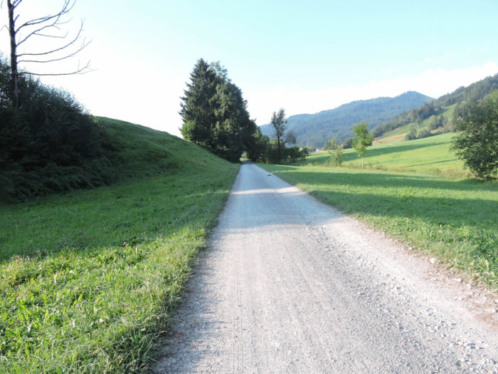
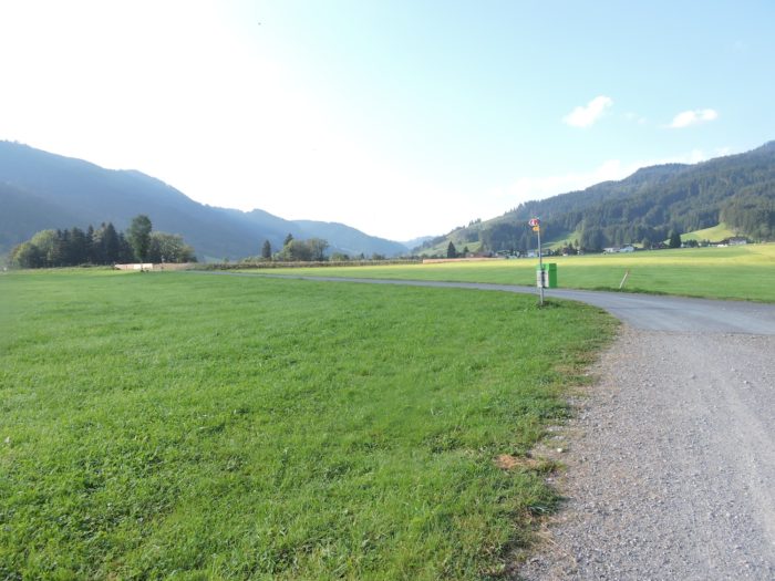
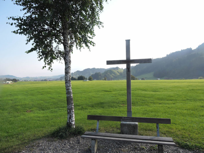
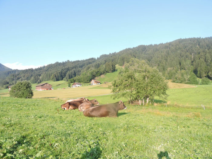
| The pastures open up as far as the eye can see, vast green expanses where the robust cattle of eastern Switzerland graze in serene dominion. The Brown Swiss breed reigns supreme, sturdy and composed, while scattered Simmental cows add tawny hues to this pastoral canvas. Rarer still, the black-and-white Holsteins seek their place, though the land’s generosity ensures ample grazing for all. On this long stretch, where nature breathes with an ancestral rhythm, quiet markers of devotion rise like discreet sentinels: a small wayside shrine, a cross—waypoints reminding the wandering soul that every path leads somewhere. |
 |
 |
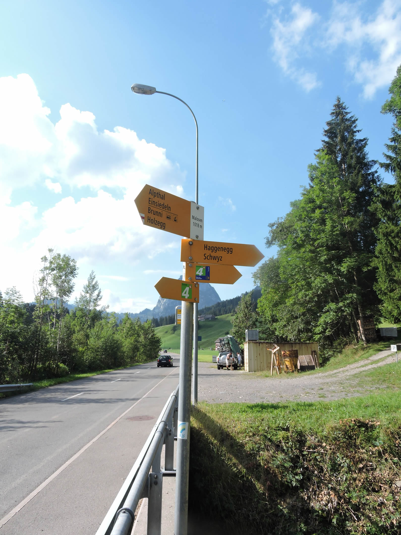
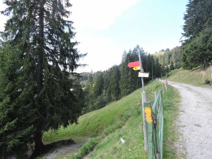
Then, at the bend of a turn, an invitation emerges: the route offers a detour toward the heights, an ascent for the boldest, leading to Haggenegg via Trachslau. But the Via Jacobi, true to its destiny, continues on its way with unwavering resolve, steadfast toward the unknown ahead.
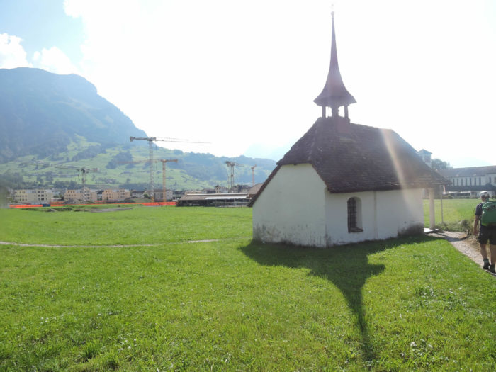
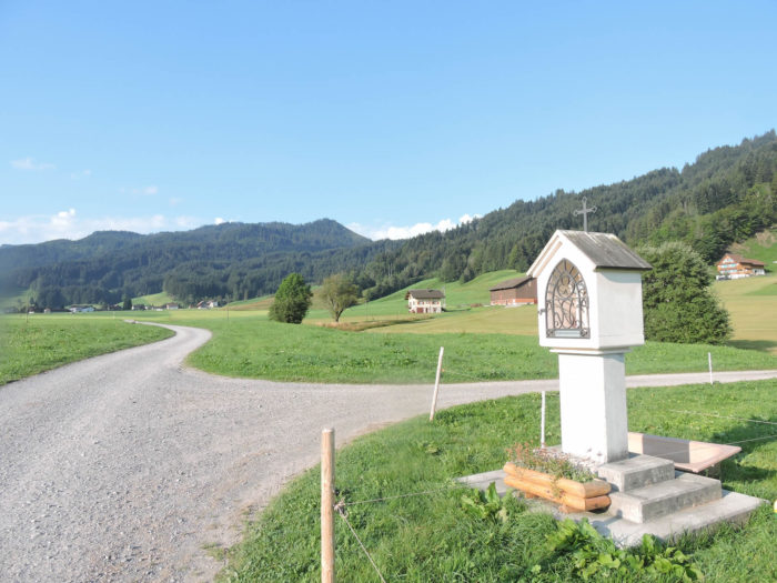
| Further afield, the path skirts the gravel pit of Trachslau, where the gentle waters of the Alp meander. Here, nature exhales and surrenders to perfect harmony: birdsong entwines with the river’s gentle lapping. Sacred signs still punctuate the route—a chapel, a cross—standing humbly beneath the vast sky, as if to remind travelers that in the immensity of the world, the unseen still watches. |
 |
 |
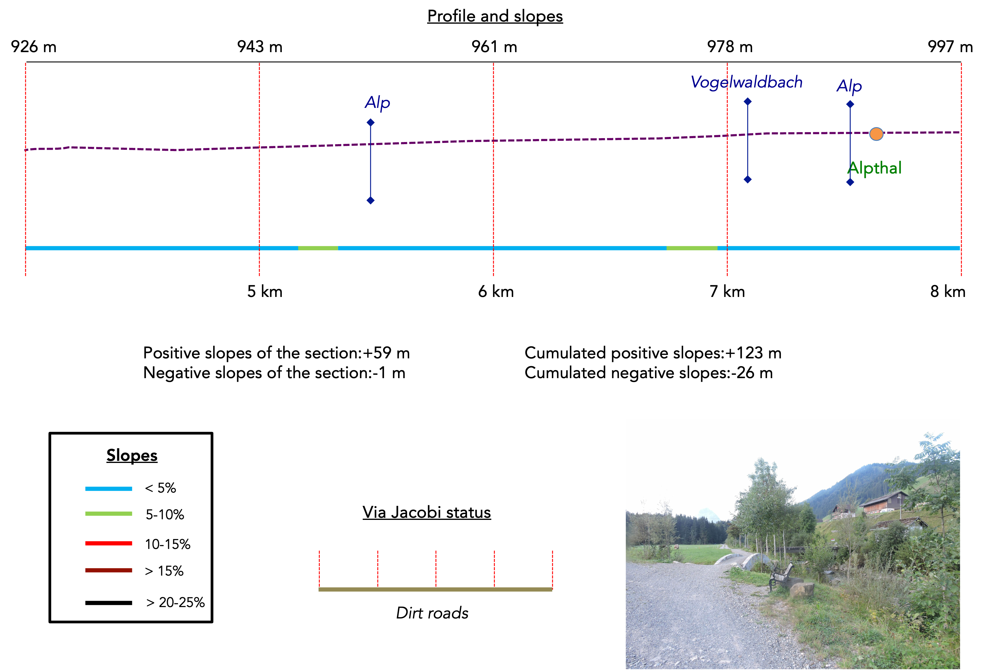
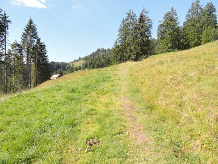
Section 2: You will soon leave the Alp plain
Overview of the route’s challenges: an easy route.
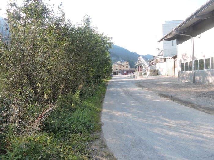
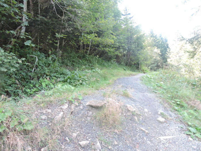
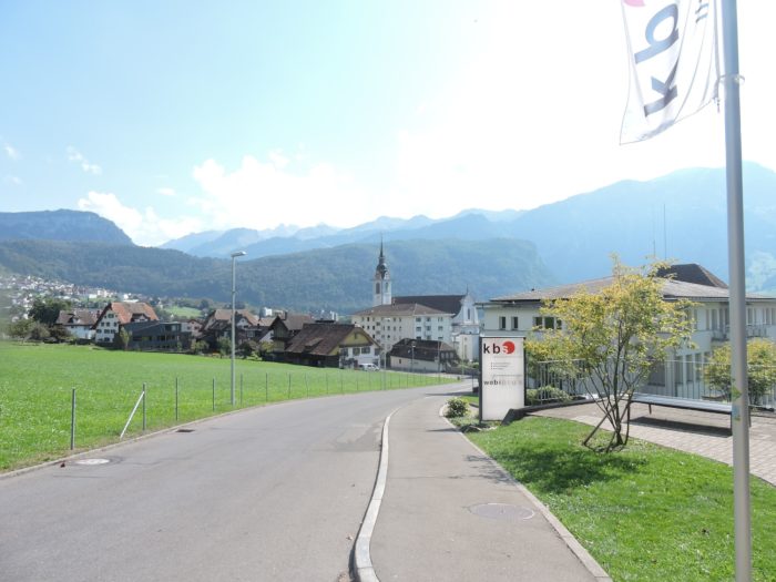
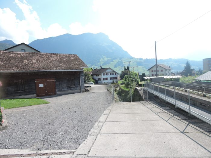
| The wide path stretches with a slope so gentle it feels like an illusion. In Trachslau, it briefly flirts with the road of the valley before veering away, having silently accompanied the workshops where wood artists and cabinetmakers carve dreams into living matter. |
 |
 |
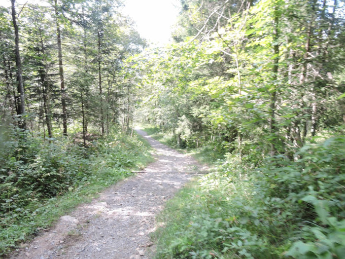
| Yet, the Via Jacobi does not linger in the heart of the village. True to its discreet nature, it vanishes into a more hidden path, winding parallel to the main road. A wide dirt road then takes over, inviting a peaceful and effortless progression toward Alpthal, the cradle of the valley. |
 |
 |
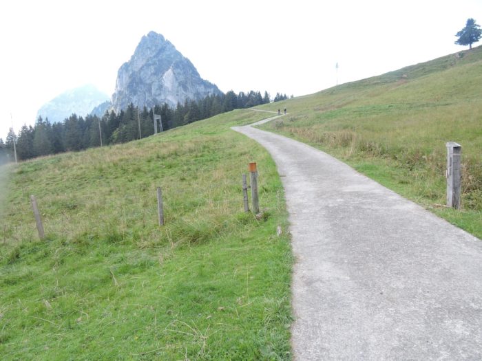
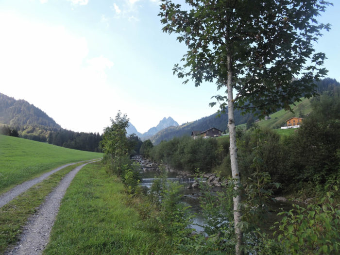
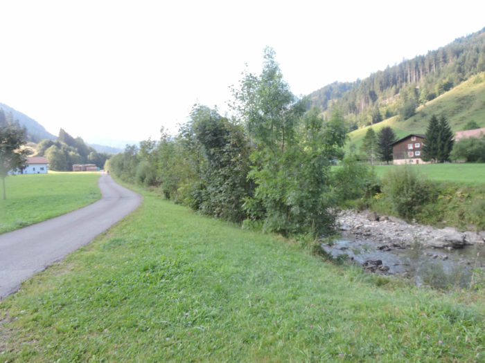
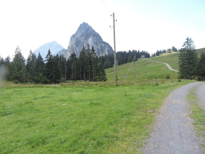
| Farther ahead, it follows the road in silence, while on its left, the Alp River glides with the timeless patience of Alpine waters. Then, on the horizon, the Mythen appear. Their sharp silhouettes impose themselves upon the landscape, promising summits to conquer, challenges to come, and a distant elsewhere to reach with the eyes. |
 |
 |
| The road, though a dead end, experiences a fleeting rhythm as occasional vehicles pass—weekend visitors heading toward the mountain pastures. Soon, they vanish, leaving behind only the muffled echo of their presence. Farther along, the path crosses to the other side of the river, as if, after all, the other side were better. |
 |
 |
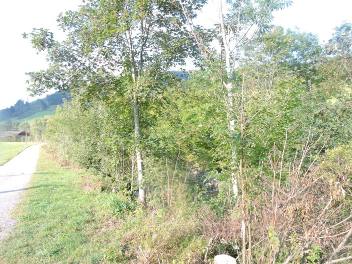
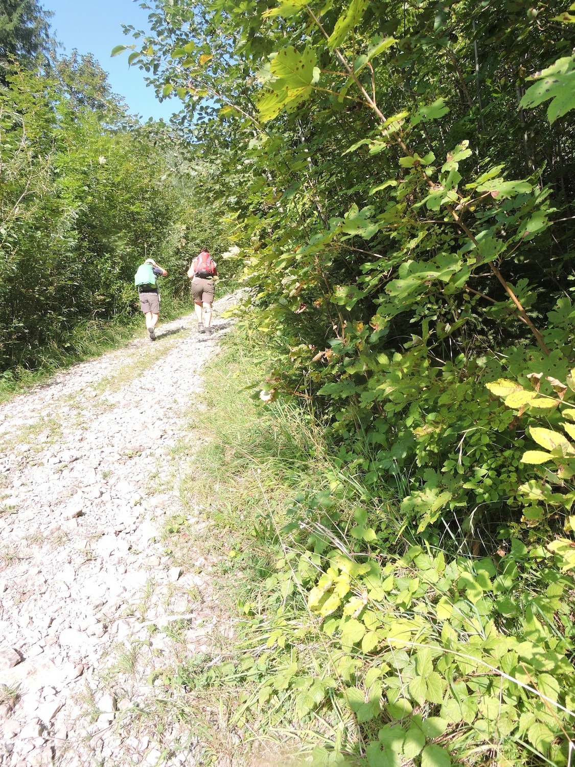
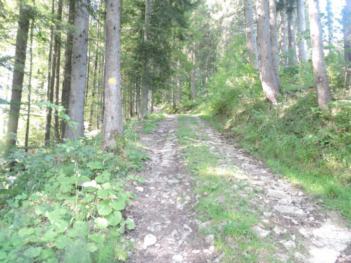
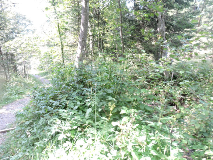
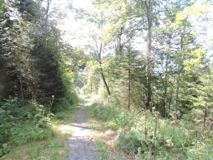
| Now, the Via Jacobi follows the river’s whimsical course. It grazes groves of beeches and maples, where nature withdraws from its initial brilliance, becoming more secretive, more untamed. Here, the forest tightens, and the air takes on a sharper scent, as if the earth itself were whispering an ancient language to the traveler—one long forgotten by hurried souls. |
 |
 |
| Suddenly, the valley opens once more, and the route, stretching through the meadows, fully unveils the majesty of the two Mythen. Like petrified sentinels, they dominate the horizon, defying the sky and its whims. |
 |
 |
|
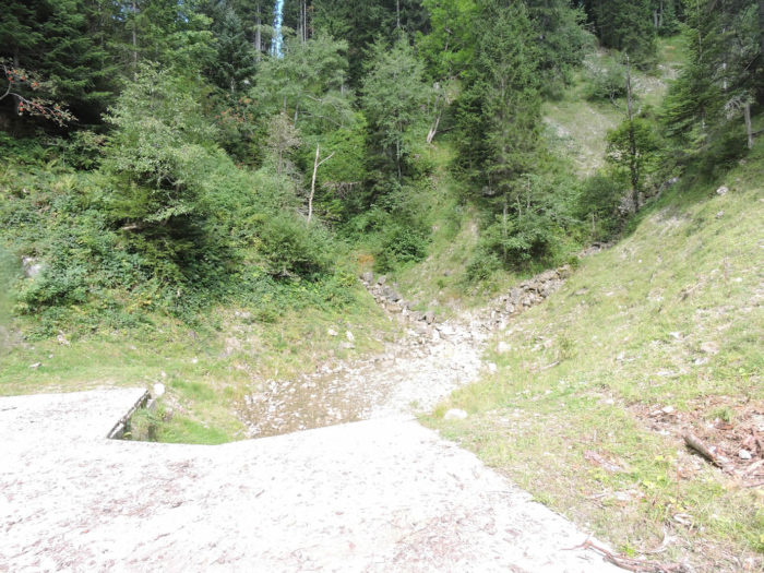
At the landmark of Kleinschnülimatt, two streams rush down from the heights, crossing the path with lively leaps, bouncing between stones as if celebrating their own freedom. These are the mountain’s vibrant veins, pulsing to the rhythm of the seasons and passing rains.
|
 |
 |
|
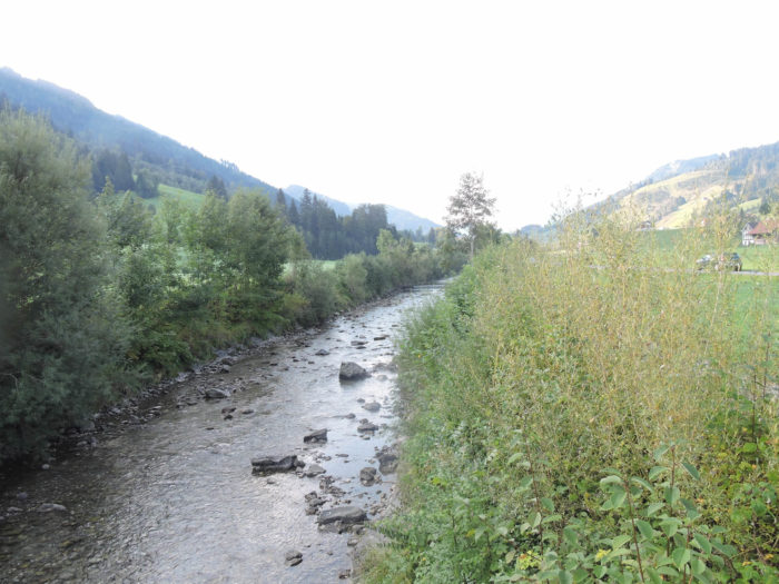
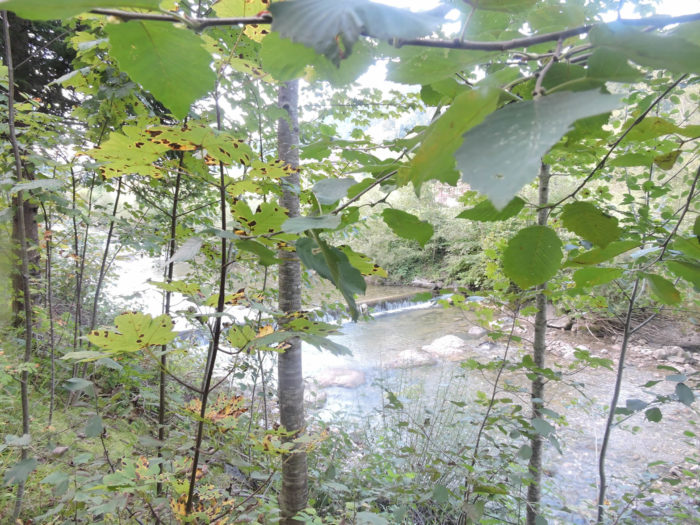
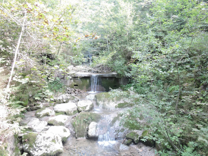
At the edge of the village of Alpthal, the river reclaims its domain, carving a chaotic bed between the titanic stones it has torn from the peaks. Modest waterfalls murmur their fresh songs, while the enclosing rock walls give the landscape the appearance of a miniature canyon, sculpted by the infinite patience of water.
|
 |
 |
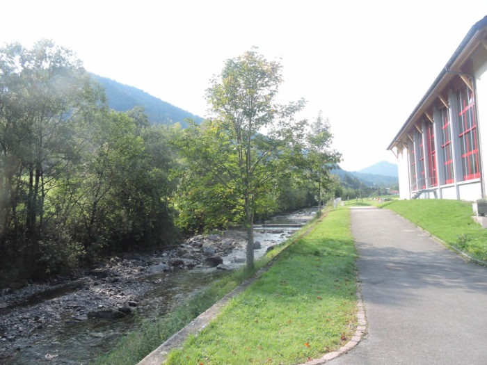
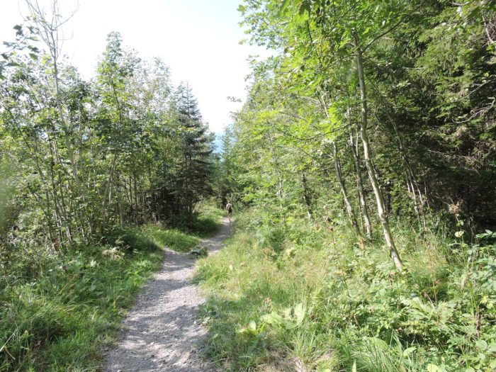
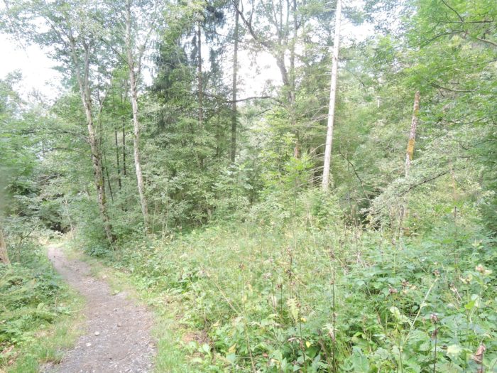
| The path then fades beneath denser foliage, plunging into the intimacy of the vegetation. Finally, after eight kilometers of almost imperceptible ascent, Alpthal emerges. A mere hundred meters of elevation gained, and yet, what Alpine fullness, what immersion into this valley where time seems suspended. |
 |
 |
| On the outskirts of the village, the Via Jacobi finds the river once more, weaving a final dialogue between the serenity of the meadows and the gentle strength of the current. Here, nature expresses itself in perfect balance, oscillating between stillness and movement, silence and murmurs. |
 |
 |
But already, the gaze lifts beyond the path. It is irresistibly drawn to the horizon. The Mythen, solemn sentinels, call. They are no longer just a backdrop; they have become a promise. An inevitable destination.
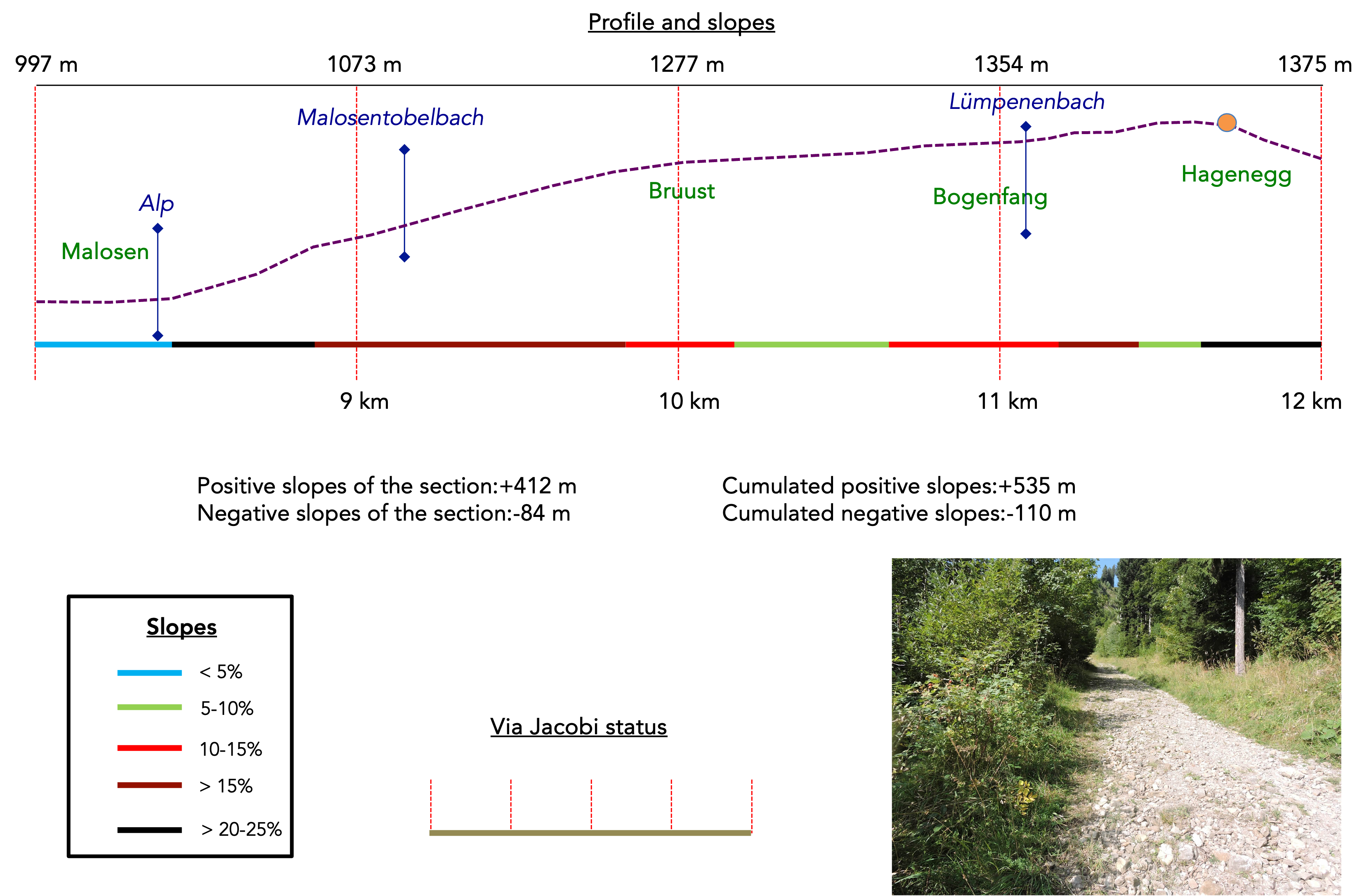
Section 3: On the way to the mountain pastures
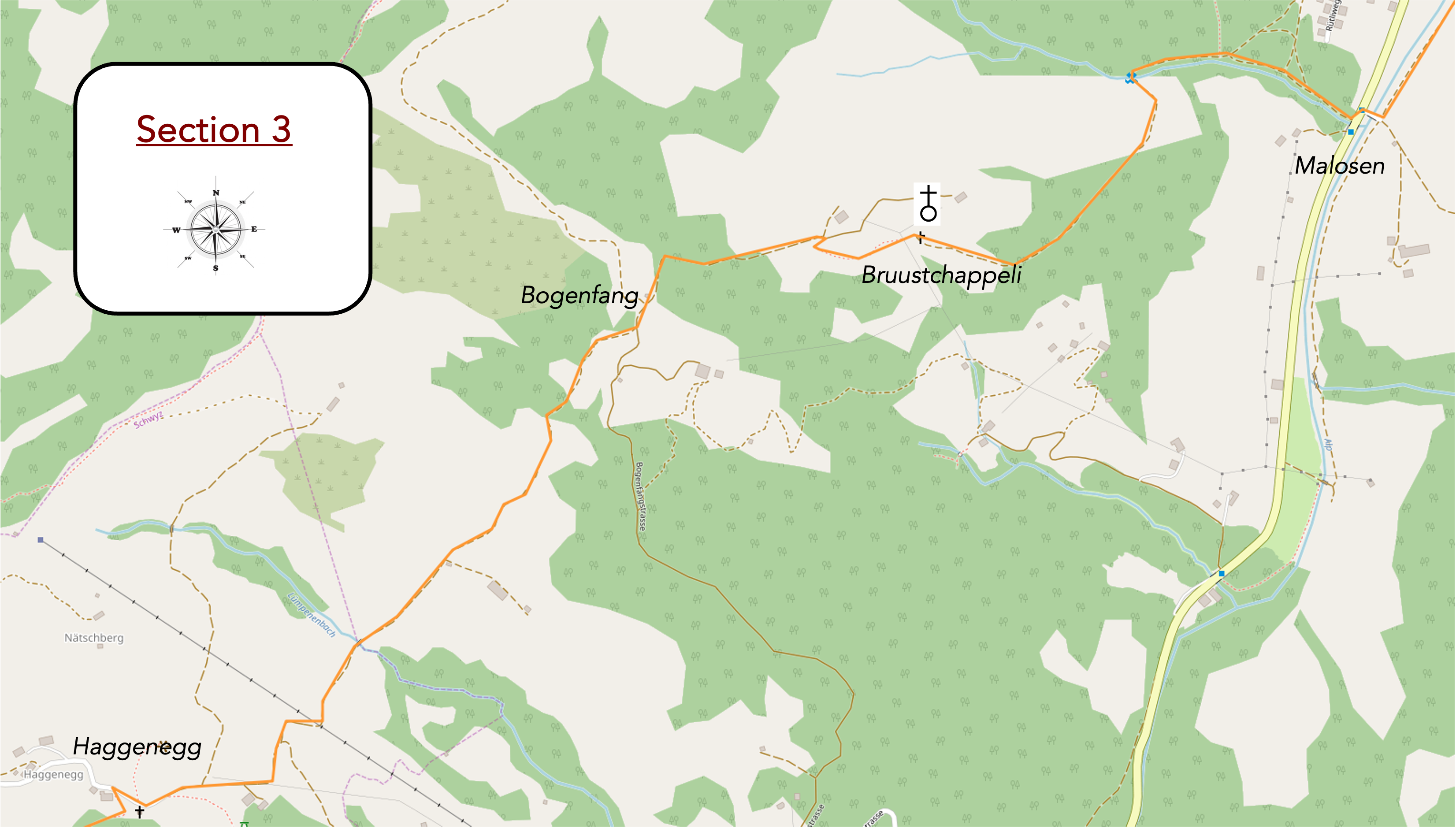
Overview of the route’s challenges: slopes of 15% and often steeper, with occasional flat sections to catch one’s breath. A highly demanding route.
| The journey continues to intertwine with the river, shifting from one bank to the other before disappearing into the horizon toward Brunni, a dead-end village halfway up the valley. But the Via Jacobi ignores Brunni—it has something even more thrilling in store. |
 |
 |
Emerging now at Malosen, the holiday-like ease of the walk fades, giving way to the ardent symphony of effort about to begin.
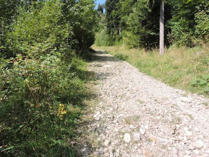
| Like a jewel carved by time, the Swiss section of the Camino de Santiago adorns itself with an exquisite challenge. A wide, rocky path climbs, at times defying dizzying slopes of over 30%. For more than a kilometer, it climbs through wooded heights, launching itself skyward with striking vigor, wrapped in the fleeting shade of conifers. |
 |
 |
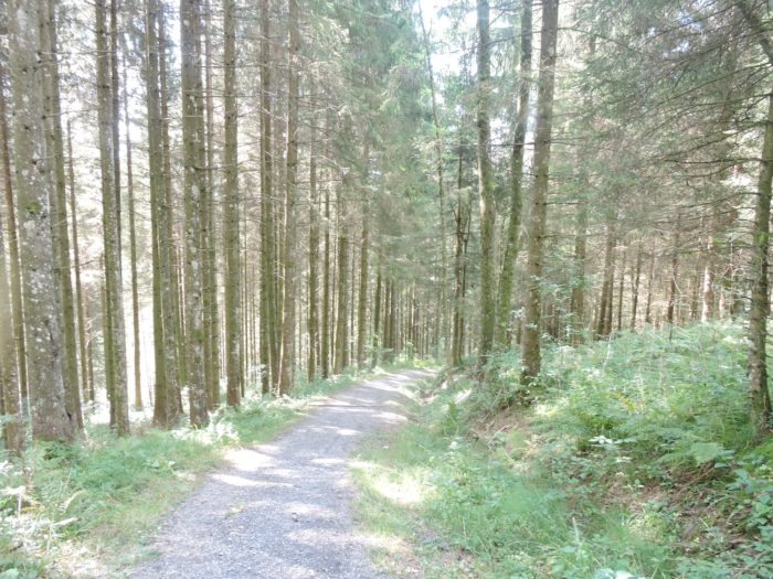
| Jagged stones test your feet, while spruces, beeches, and firs offer only sparse shade, lining the broad path that stretches ahead. |
 |
 |
| At the forest’s edge, the incline eases slightly, though it remains steep and unyielding. At times, underbrush tries to reclaim the space, but in Switzerland, trails are meticulously maintained. |
 |
 |
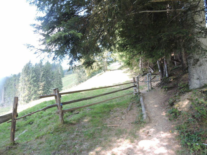
| The forest’s grip loosens, revealing a clearing enclosed by fences—reserved for human footsteps, barring entry to livestock. |
 |
 |
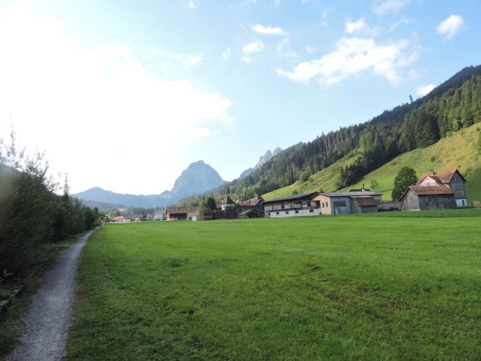
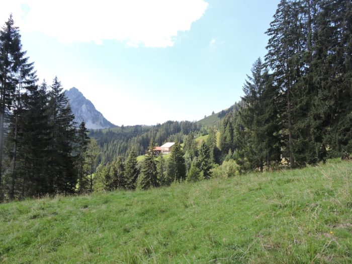
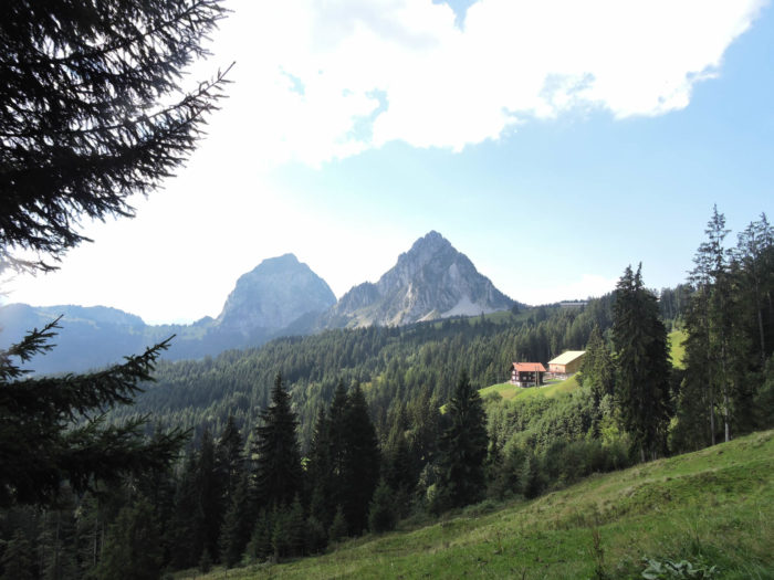
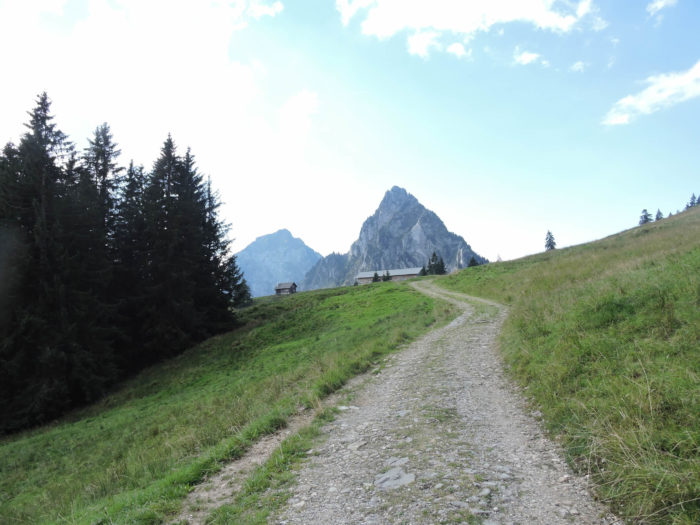
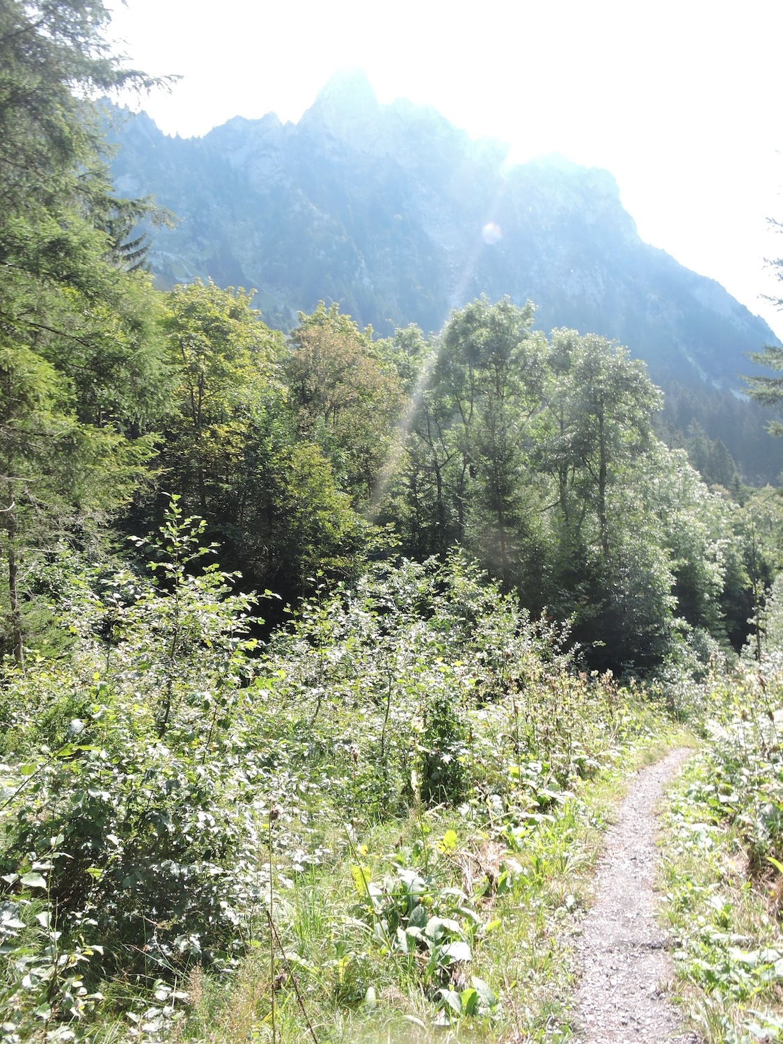
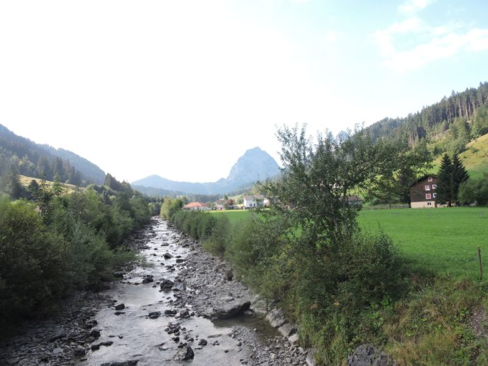
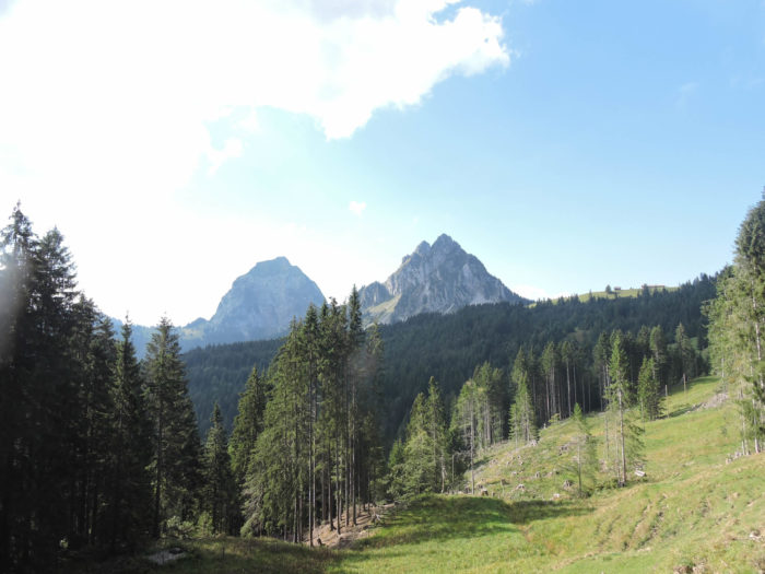
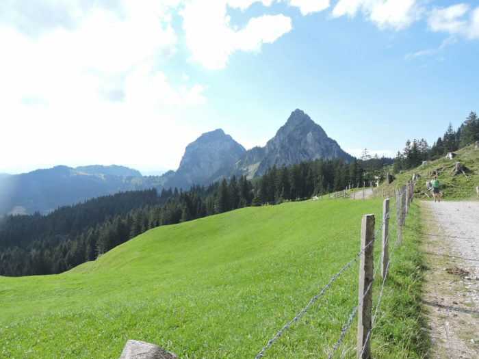
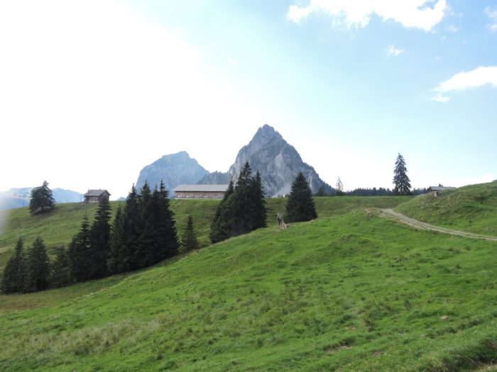
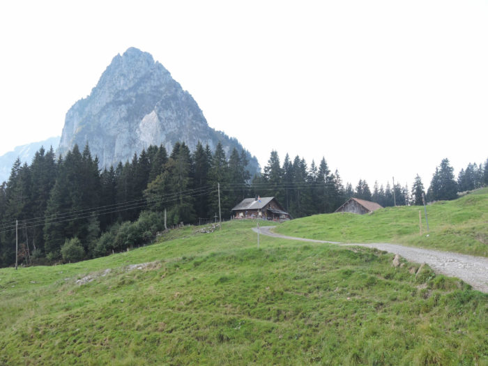
Now, the two Mythen stand majestically before you, their beauty on full display. They may not rival the Matterhorn in height, but their almost human charm is undeniable. Nestled at their feet, modest alpine chalets dot the path. These unassuming giants rise to just under 2,000 meters.
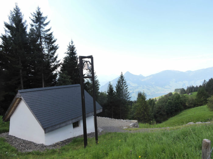
| Farther along, the path narrows into a steep forest trail, winding between meadows and groves. This is the only truly narrow section of the ascent—most of the climb follows wide, rocky tracks. The route then leads to a humble wayside shrine, where a few whispered prayers might seek relief from the relentless incline. But such pleas will go unanswered. A fresh water fountain offers a brief respite, yet the relentless ascent into the high pastures continues. |
 |
 |
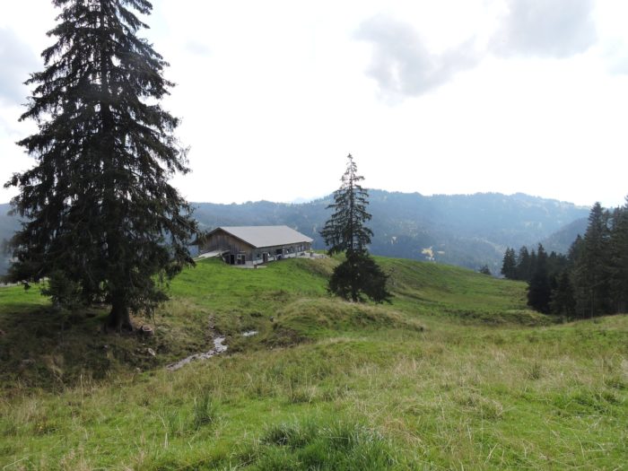
| Scattered spruces cling to the steep mountainsides, brightened by the presence of numerous chalets. Are they alpine refuges or simply secondary homes? The misty alpine air obscures the answer, but their inviting comfort dispels any notion of hardship. |
 |
 |
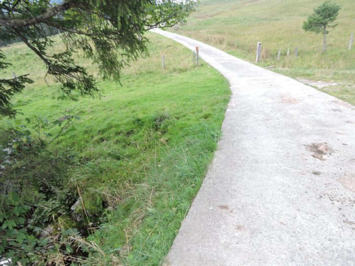
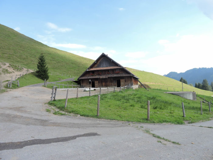
| A wide path finally reaches the first alpine chalet, near the hamlet of Bruust—an embodiment of Swiss pastoral authenticity. But at this time of year, the cows have long since returned to the valleys. The steep ascent ends here, giving way to a gentler, though still noticeable, slope. In the distance, modest paved roads snake through the pastures, serving both farmers and the curious. |
 |
 |
| Numerous small streams, often dried up, tumble down the slopes, trapped between rocks like miniature canyons. |
 |
 |
|
Once again, the incline steepens as the path traverses scree fields, reaching Bogenfang, where a livelier atmosphere emerges.
|
 |
 |
Indeed, a narrow road winds up from Brunni, and a picnic area—much like countless others in the region—welcomes visitors. Does such hospitality require a reservation? The road is accessible by car, though rough and bumpy.

| The place is bustling, and a peaceful lunch break seems unlikely. The path then climbs further through rocky debris. So close to the Mythen now, one could almost reach out and touch them. The mountains’ apparent wildness is softened by spruces clinging to their very peaks. Clothed in their evergreen mantle, the summits seem almost tamed by human hands. |
 |
 |
| The path then eases briefly into high pastures, where the Lümpenenbach’s crystal-clear streams murmur their gentle song. |
 |
 |
| But the climb is far from over, and the steep slopes of the meadows soon reclaim their merciless rule. |
 |
 |
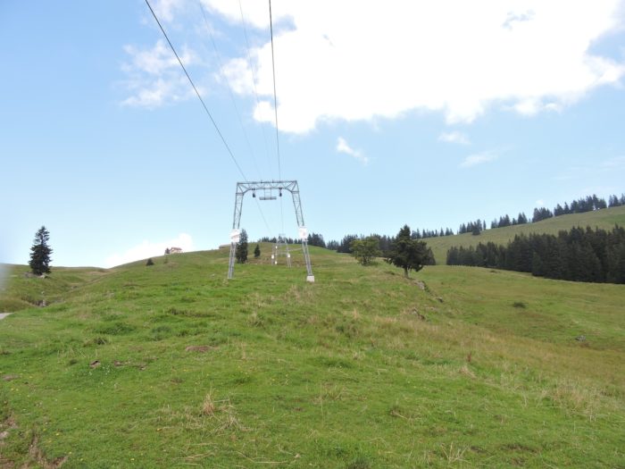
In winter, these slopes welcome skiers under the watchful gaze of the Mythen.
| Nearing the summit, the ascent softens somewhat into the pastures. Yet, any sense of relief is merely an illusion. |
 |
 |
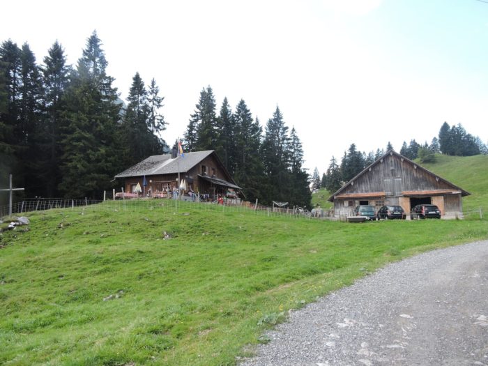
| Soon after, the horizon opens to the alpine meadows of Gummen, dotted with small chalets, a prelude to an anticipated serenity. |
 |
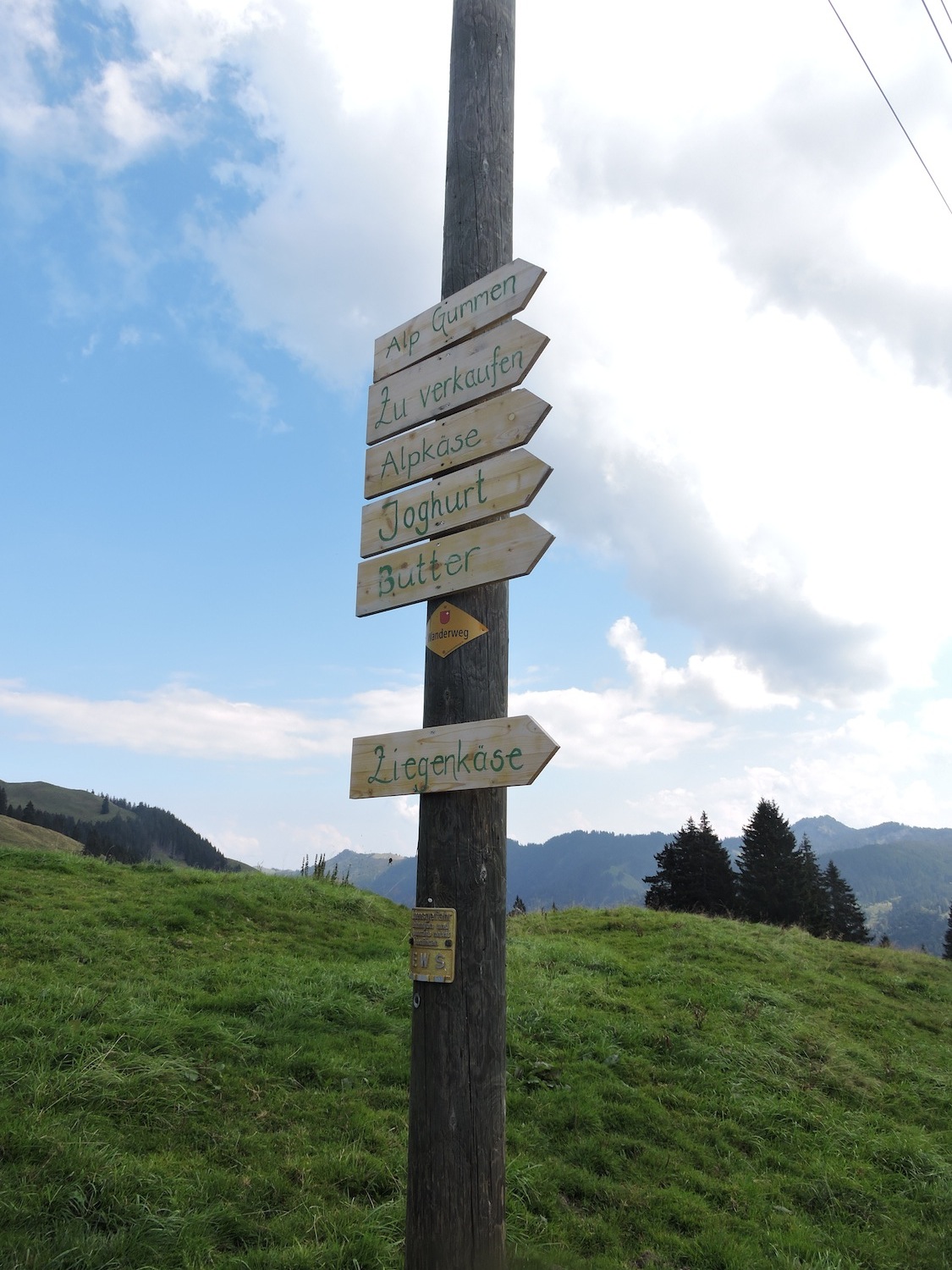 |
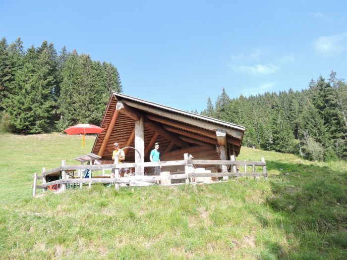
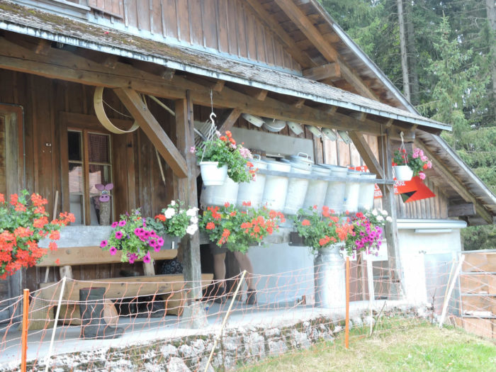
| Here, a modest chalet stands, offering alpine cheeses, goat cheese, yogurt, and butter to those who appreciate such delicacies. The German language becomes the passport to an authentic culinary discovery. |
 |
 |
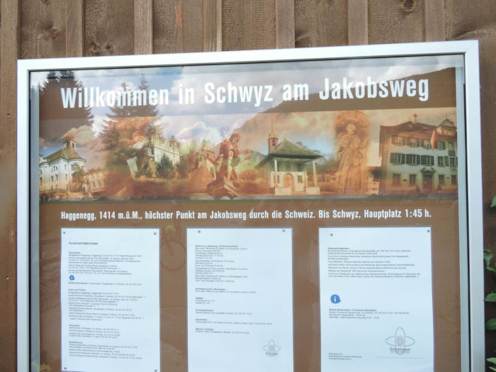
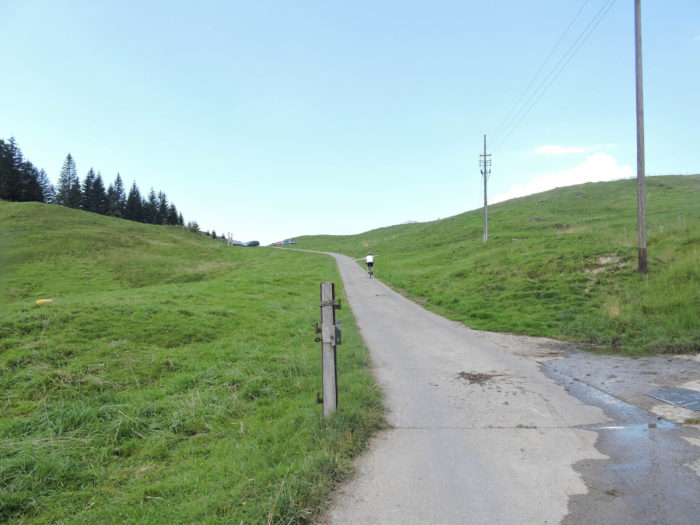
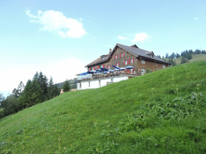
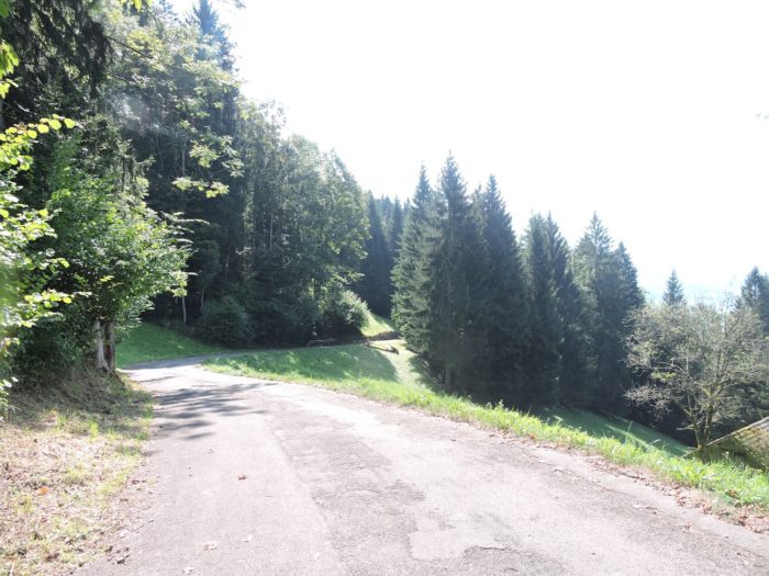
| One final push, and the Hagenegg Pass is reached—the highest point of the Camino de Santiago in Switzerland, surpassing even the Brünig Pass. From 885 meters at Einsiedeln, you have now climbed to 1,404 meters. Pilgrims may lament the presence of vehicles, but innkeepers eagerly welcome this steady flow of visitors. A winding road from the other side of the valley brings tourists and skiers, keeping this beloved spot lively. |
 |
 |
| The descent begins under the watchful gaze of patrons seated on the terrace of the Hagenegg Pass restaurant. |
 |
 |
Section 4: A springboard to the valley

Overview of the route’s challenges: slopes of 15% and often steeper, with occasional flat sections to catch one’s breath. A highly demanding route—one of the toughest on the Camino de Santiago in Switzerland.
|
The long-awaited descent from the pass, following the triumphant ascent, comes with its own set of challenges. Every step becomes a delicate dance between delight and strain, a symphony orchestrated by the whispers of the foliage. A journey filled with awe and wonder! Yet, this descent, feared by many hikers, demands even more than the climb itself. Nearly 1,000 meters of elevation loss separate you from the lake, with dizzying slopes averaging over 15%. Knees buckle, ankles sigh, and hamstrings cry for relief!
|
 |
 |
|
 |
 |
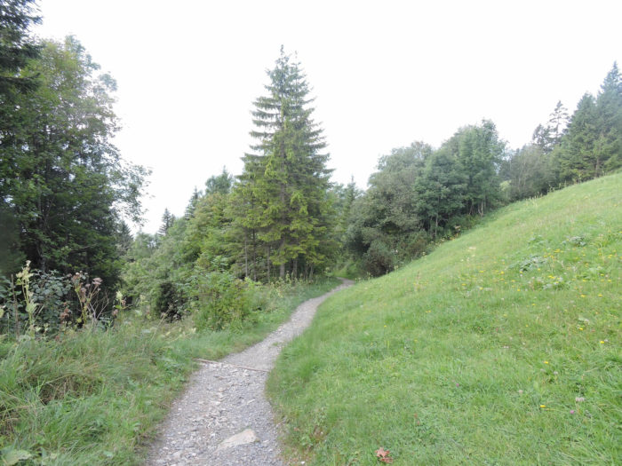
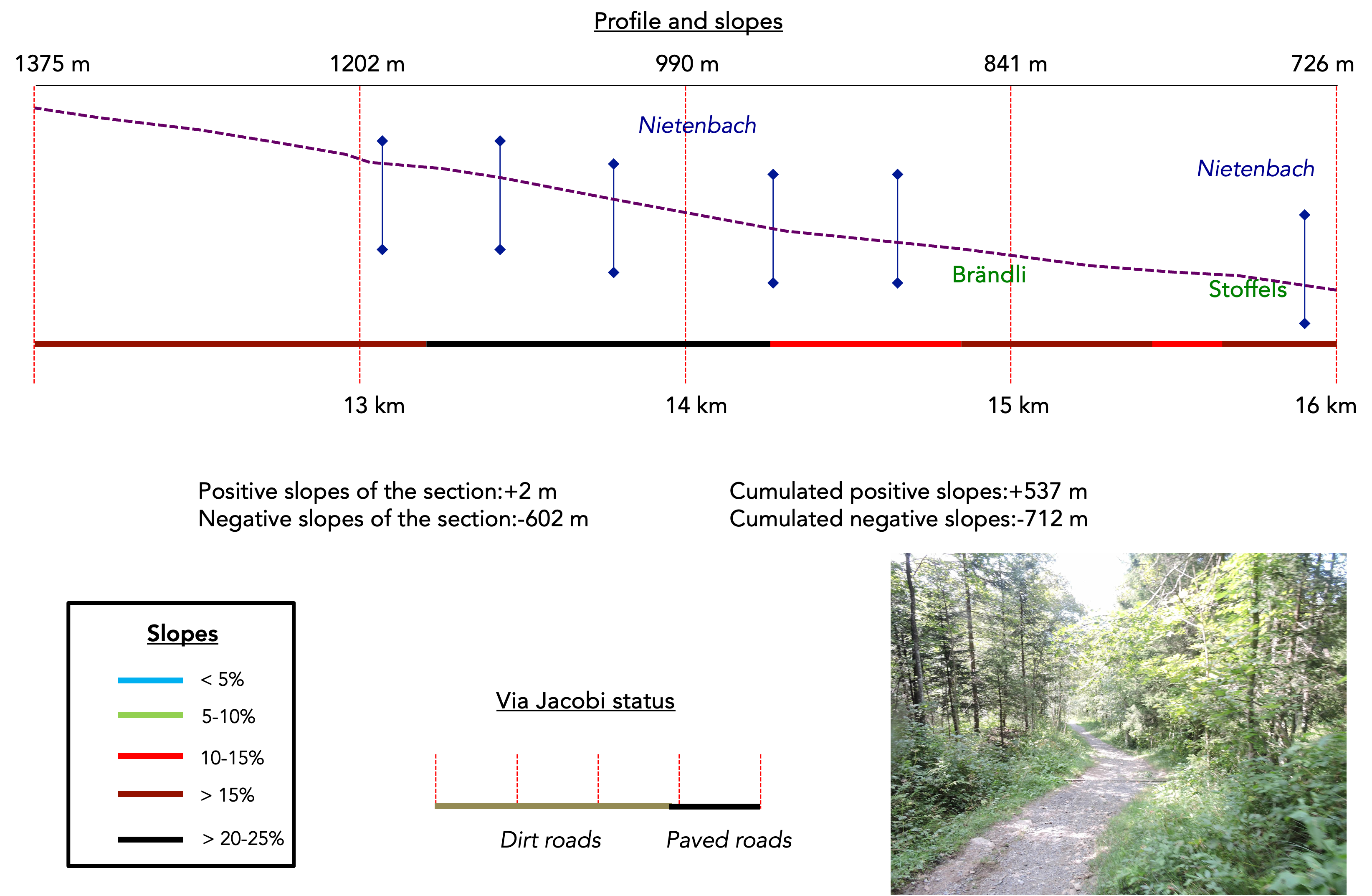
| From the very first steps, a rough trail slips away beneath your feet, vanishing into a tangle of wild shrubs and tall grasses. Among the trees, the darkness thickens, weaving a veil of mystery, while the moss-covered ground invites moments of quiet reflection. The trail weaves its way downward, playfully darting between beech saplings, spruces, and unruly grasses, all under the watchful presence of the towering Mythens. It waltzes alongside the tiny tributaries of the Nietenbach, mischievous streams that crisscross the path, leaping from the shadows only to vanish into nothingness. This relentless challenge stretches over nearly two kilometers, wavering between pleasure and torment, depending on your endurance and the state of your joints. |
 |
 |
| Further down, the path transforms—it widens, stretching through a forest that comes alive, where the trees murmur their secrets to those who listen. |
 |
 |
Above, the Mythens wrap themselves in mist, silent guardians of the soul’s mysteries, their peaks brushing against the clouds in a celestial embrace.

| The descent, a true tumble back into civilization, stretches out along the horizon, winding and unpredictable. The path, at times narrow and then broad, meanders playfully through the landscape for over four kilometers, gazing upon bare trees standing tall like soldiers on parade. |
 |
 |
| Further down, the slope softens, and the Nietenbach swells with water, dancing gracefully over mossy stones. Nature, in all its untamed splendor, reveals its most intimate secrets to those daring enough to venture into its mysterious depths. |
 |
 |
| Much lower, at the hamlet of Brändli, a small wayside shrine stands as a humble sentinel, where pilgrims’ prayers may rise—whether to beg the heavens to halt the rain or to give thanks for a rare moment of sunshine. |
 |
 |
| Here, the Via Jacobi rejoins the road. It hesitates, wavering between clearings and forests, its doubts whispered among the trees. Each bend unveils a new surprise, a new riddle for the intrepid traveler to solve. |
 |
 |
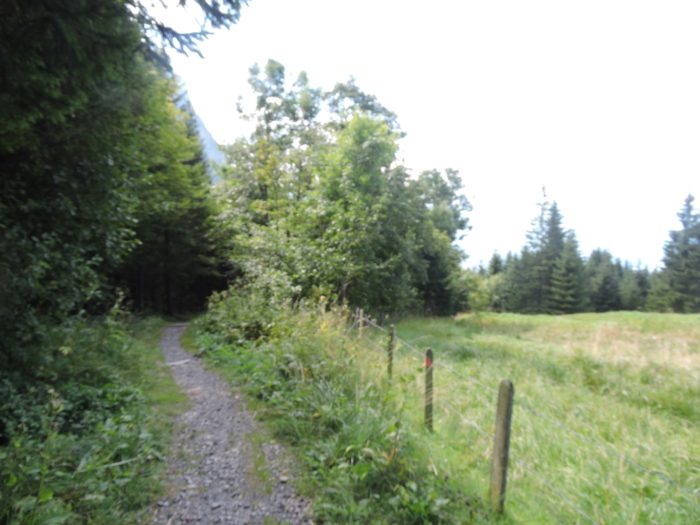
| Lower still, civilization reappears, timid and discreet, at the roadside’s edge. Signs of life begin to emerge through the trees, signaling a return to reality after an exhausting yet enchanting journey through the wilderness. The forest gradually yields to pastures, yet the incline remains, stubborn and unrelenting. |
 |
 |
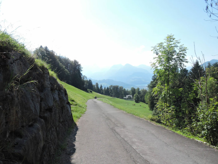
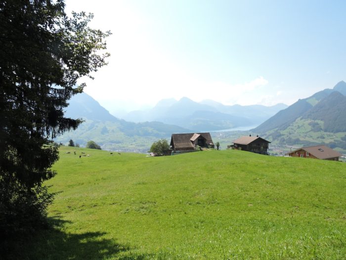
| On the horizon, like a mirage in the desert, a shimmering arm of Lake Lucerne emerges. Its deep blue waters promise a sigh of relief, a moment of happiness after the relentless descent. Then, the road plunges once more into a maze of undergrowth before reaching the crossroads leading to the tranquil hamlet of Stoffels. |
 |
 |
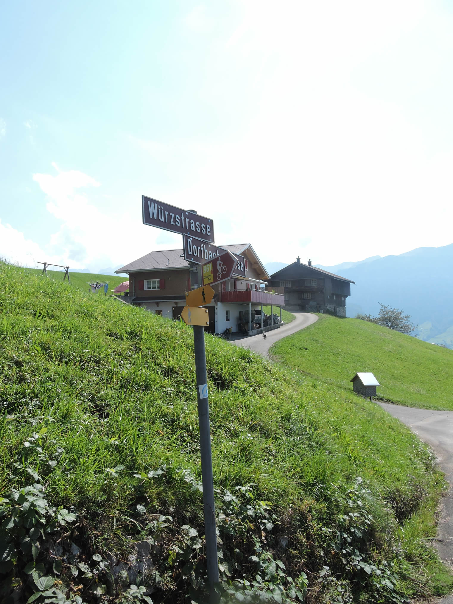
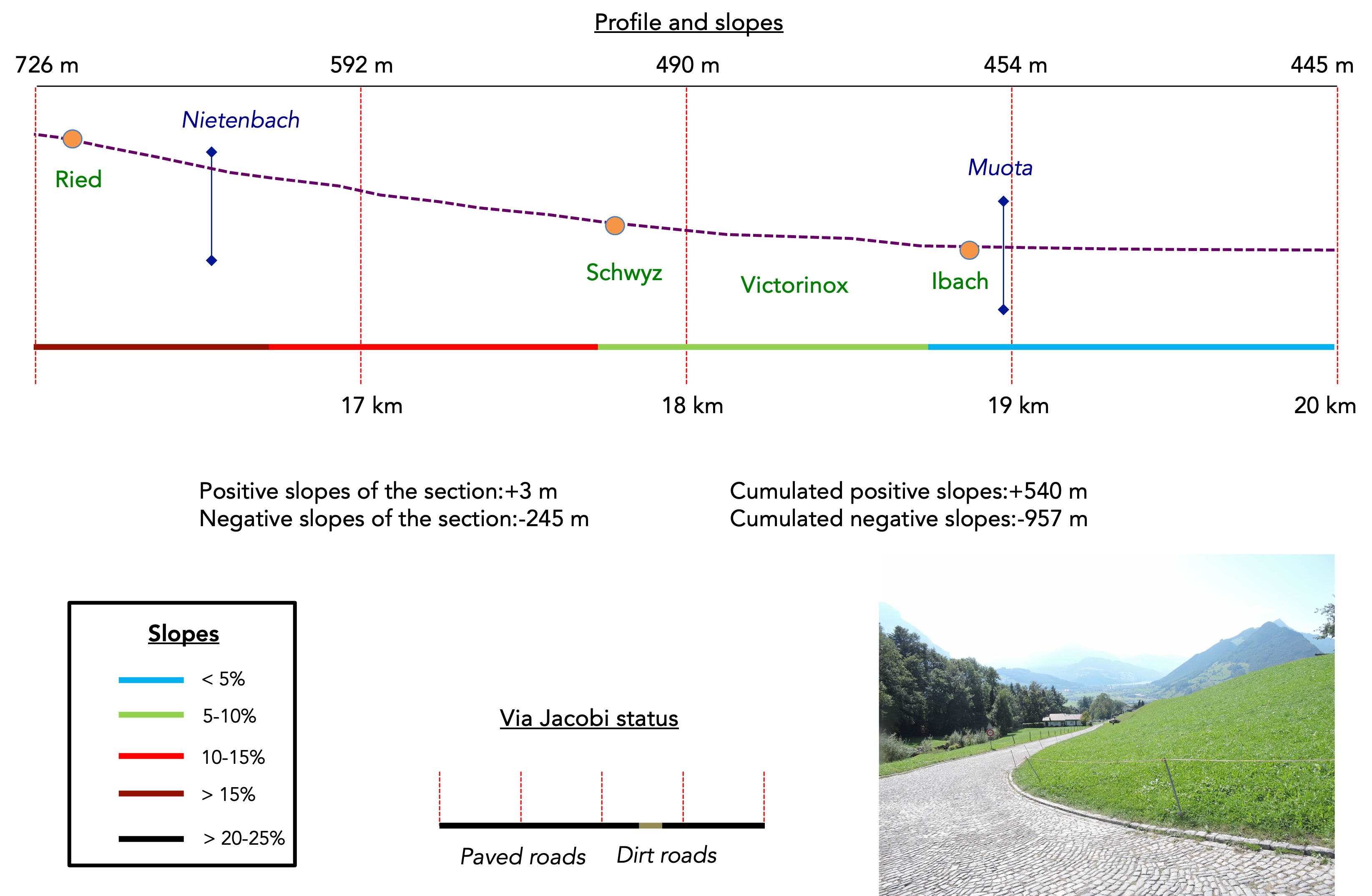
Section 5: A small cut at Victorinox, between Schwyz and Imbach
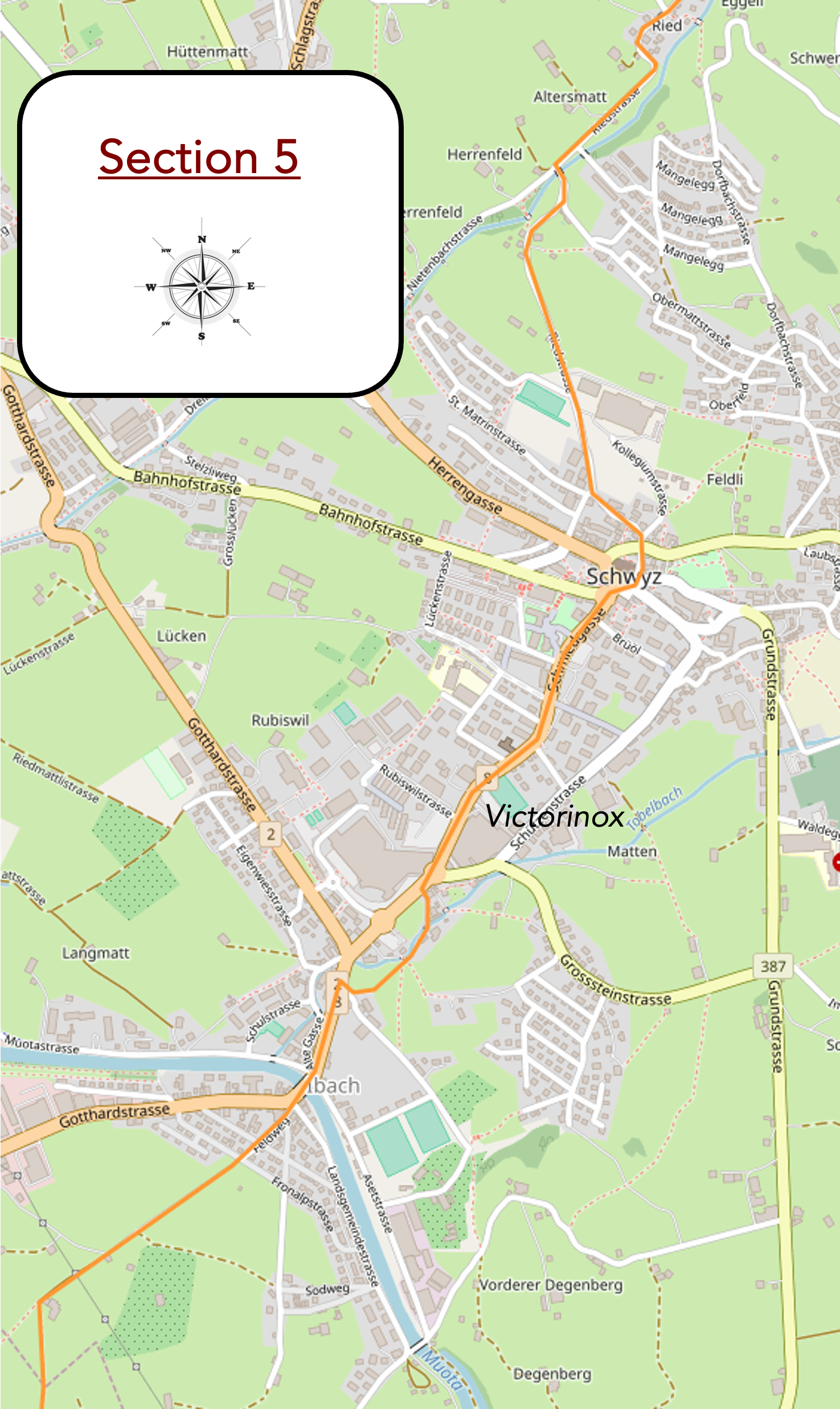
Overview of the route’s challenges: it still goes downhill, with some lovely slopes, but the end is in sight.
|
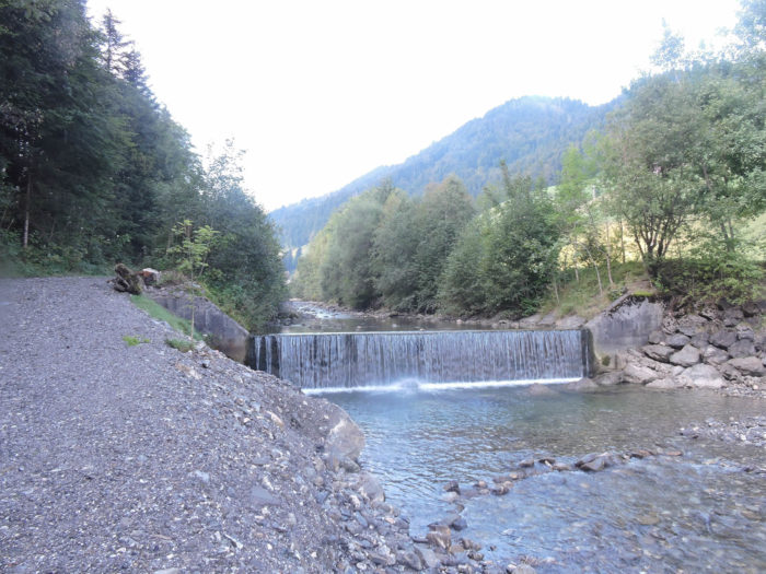
The road then takes on a gentle descent, winding around the secrets of a small woodland where the Nietenbach murmurs, now an eager stream rushing through this enchanting valley. Like a natural choreography, the water strays in arabesques, tracing lines as delicate as the teeth of a comb.
|
 |
 |
In this enchanting freshness, the waterfall unfolds its charms, a living tableau where each droplet composes an ephemeral melody.

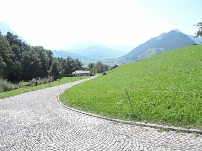
| The road, proud of its steepness, relentlessly leads toward the plain, refusing to ease despite a slope that defies gravity, exceeding 15%. And there, like a scene painted by celestial hands, the panorama emerges—Brunnen, a glistening gem resting on the lake’s shore. |
 |
 |
At the turn of this impetuous road, the village of Ried comes into view, a fleeting breath of life in the endless ballet of landscapes.
|
 |
 |
If you dare to look up, the Mythen can be seen, those ancient sentinels watching over the valley, their majestic silhouettes standing against the azure canvas of the sky.

| Then, in a final jolt, the road caresses the Nietenbach one last time, its faithful descent companion, with whom innocent games of hide and seek were played before vanishing into the heights of Schwyz. |
 |
 |
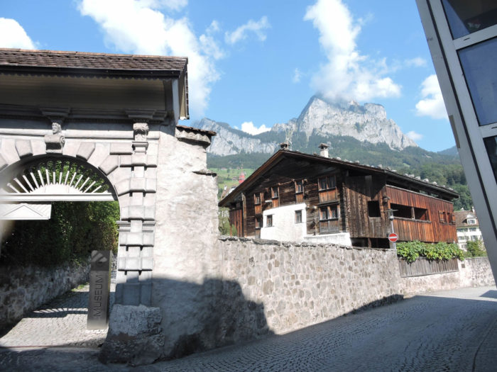
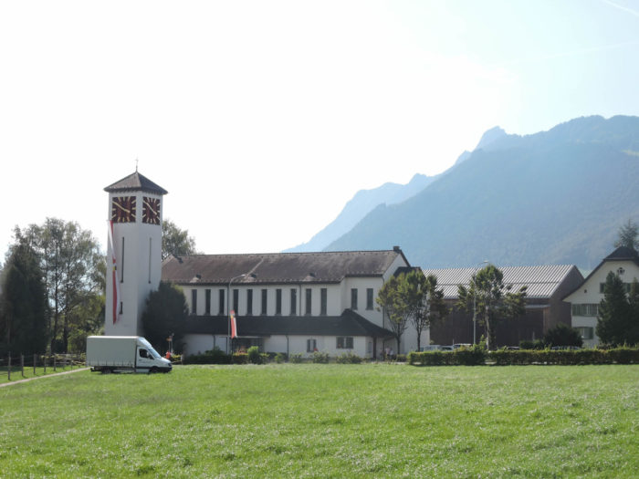
| An imposing citadel stands, a witness to time stretching on, home to a venerable educational institution erected by the Jesuits at the twilight of the 19th century. Today, the school and the corridors of the cantonal administration whisper their secrets there. The Jesuits were quickly forgotten in Switzerland. Present since the 16th century, where they worked for education in the Catholic cantons, they were long persecuted, then banned after the Sonderbund War in 1847, an interdiction enshrined in the constitution. The law was repealed in 1970 by a narrow majority (56% of the votes). Today, about a hundred remain in the country. |
 |
 |
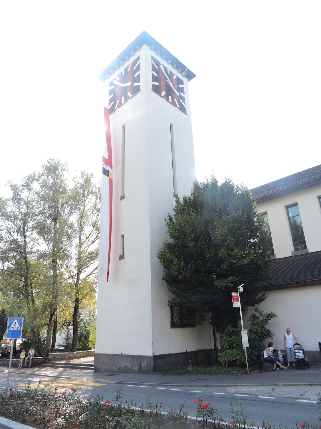
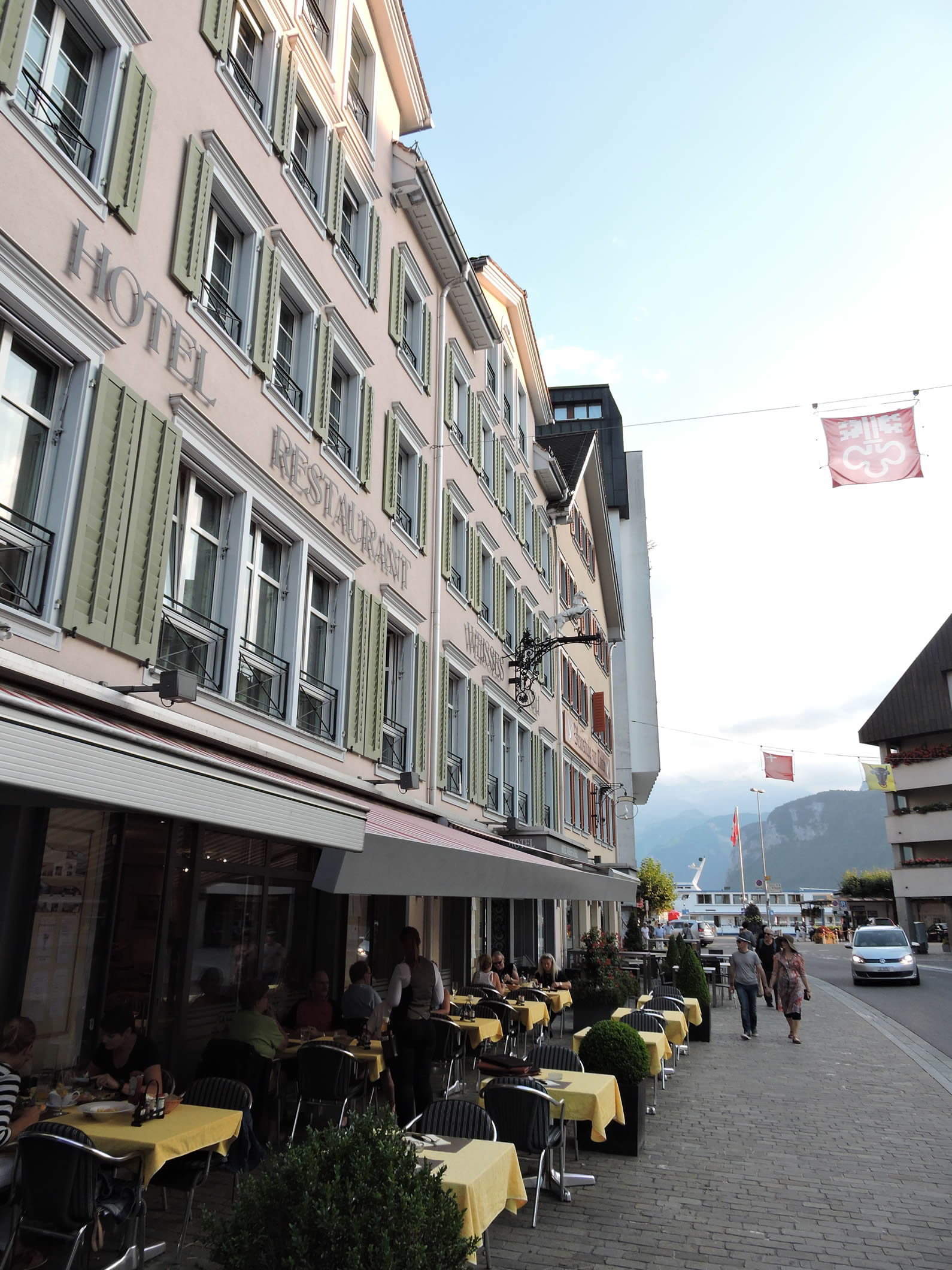
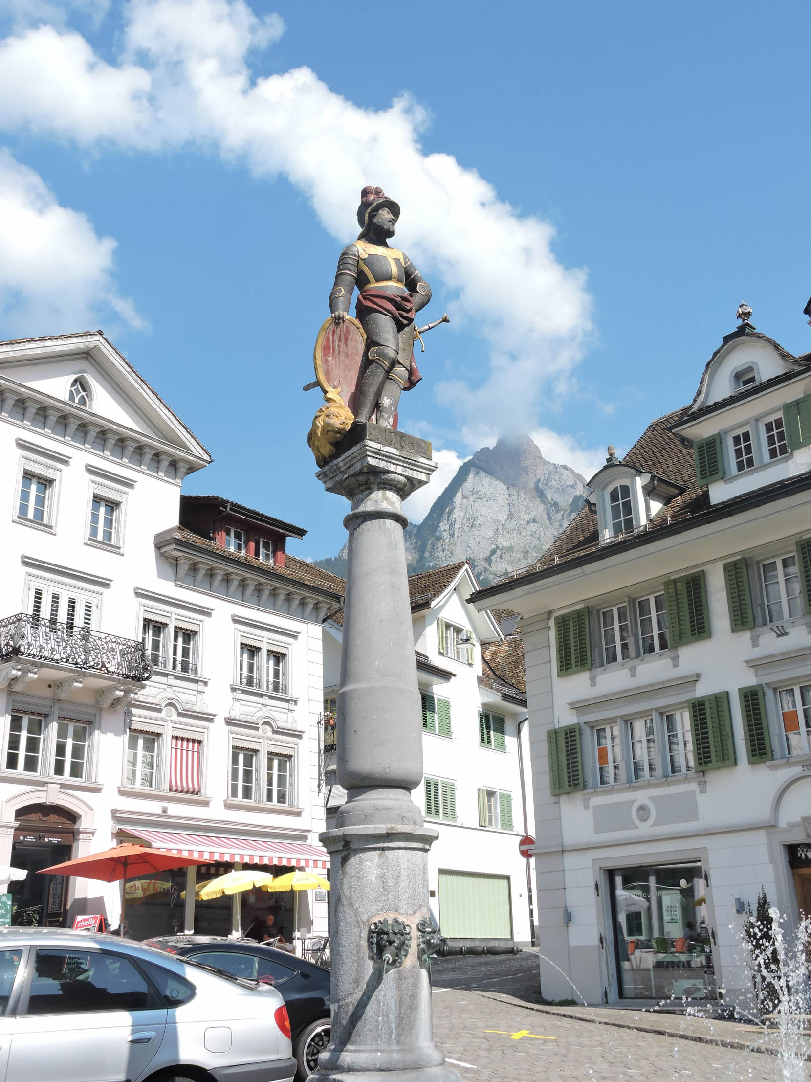
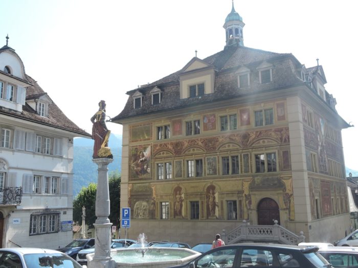
| There, the Via Jacobi, as if moved by a divine breath, anchors itself at the very heart of the city. Schwyz, cradle of 14,500 souls, beats to the rhythm of the canton that bears its name. |
 |
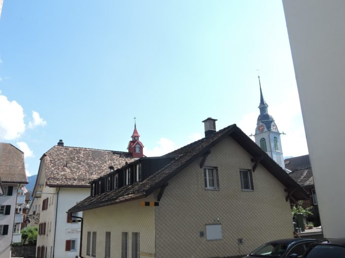 |
| A statue, a proud sentinel, stands at its center, awakening souls to past glories, while the meanders of tourist agencies exalt the grandeur of the square, the beating heart of Schwyz. A fleeting illusion, for in truth, the square is but an island surrounded by the relentless flow of cars. |
 |
 |
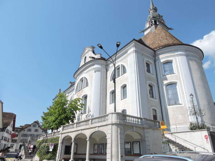
However, the baroque town hall, a jewel of the 17th century, once burned in the flames of chaos, only to rise again like a phoenix, adorned with frescoes depicting the Battle of Morgarten. A testimony of ancient times, sheltering the secrets of debates, justice weighed on its scales, and the shadows of troublemakers in its dungeons. Alas, its setting is marred by the surrounding ugliness, a scar from a bygone era.
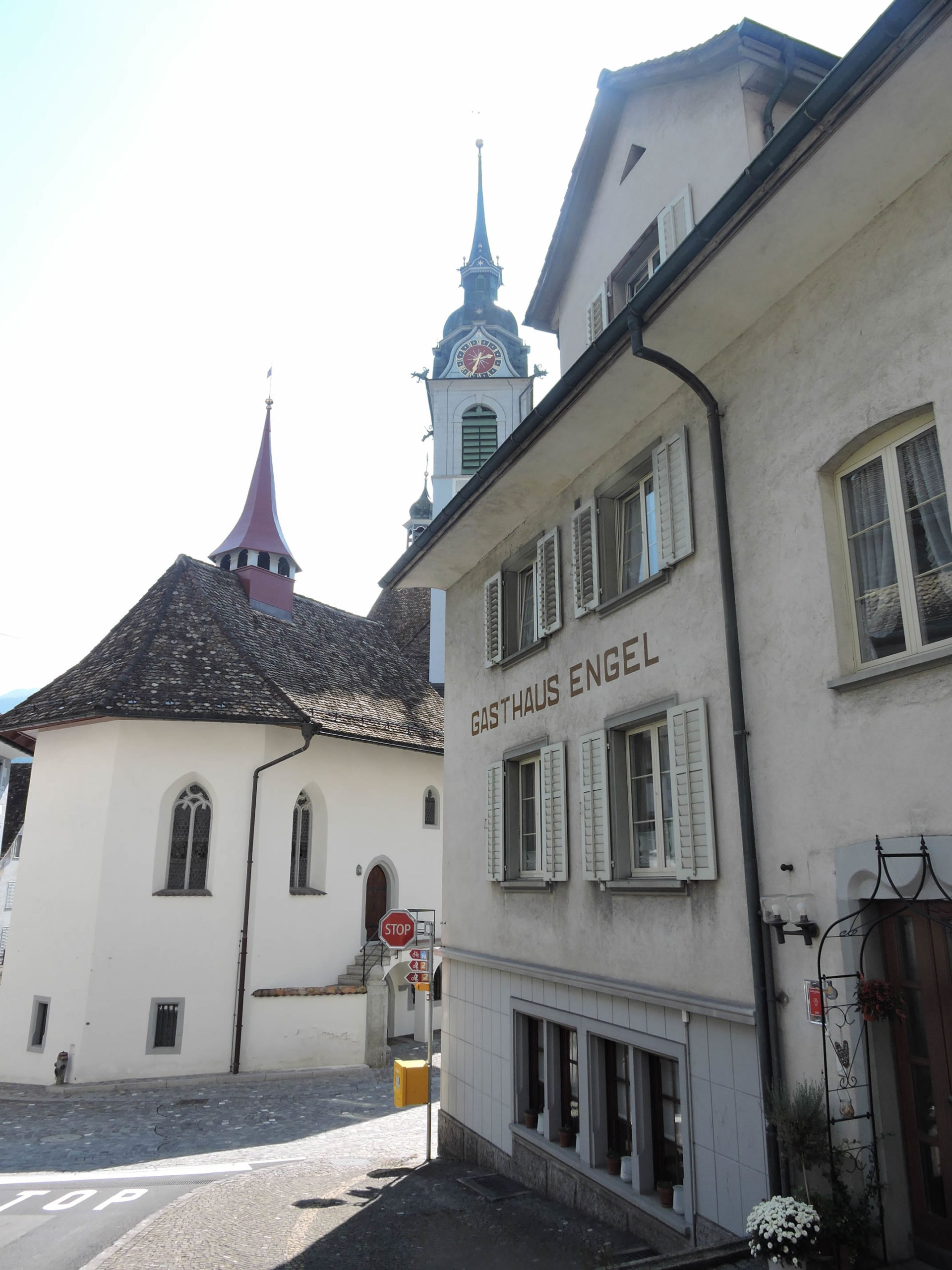
| History enthusiasts, like Swiss pilgrims hungry for knowledge, walk along Bahnhofstrasse to the Museum of the Federal Charters, the final sanctuary of the 1291 pact, which saw the birth of the Swiss Confederation. Nearby stands the Hofstatt Ital Reding, a 17th-century building, a true ode to architectural poetry, gleaming with timeless beauty. The Church of St Martin, witness to the passing centuries, emerges from the ashes of the past, clad in its baroque finery, a symbol of resilience and faith. |
 |
 |
| Then, the Via Jacobi leaves Schwyz, like a wanderer following the curves of the RN8. Chapels and churches are scattered here, enigmatic symbols of piety hidden behind austere facades. For Schwyz, a land of Catholic tradition, is rich in places of worship, silent witnesses to an ancestral faith, though only 10% dare to turn toward the Reformation. |
 |
 |
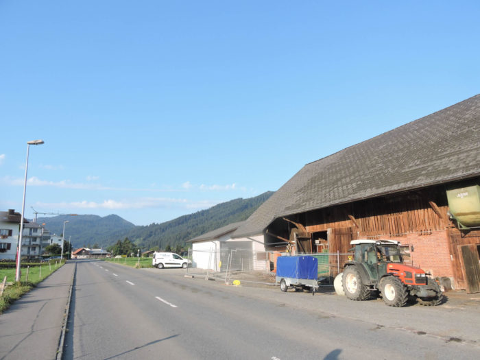
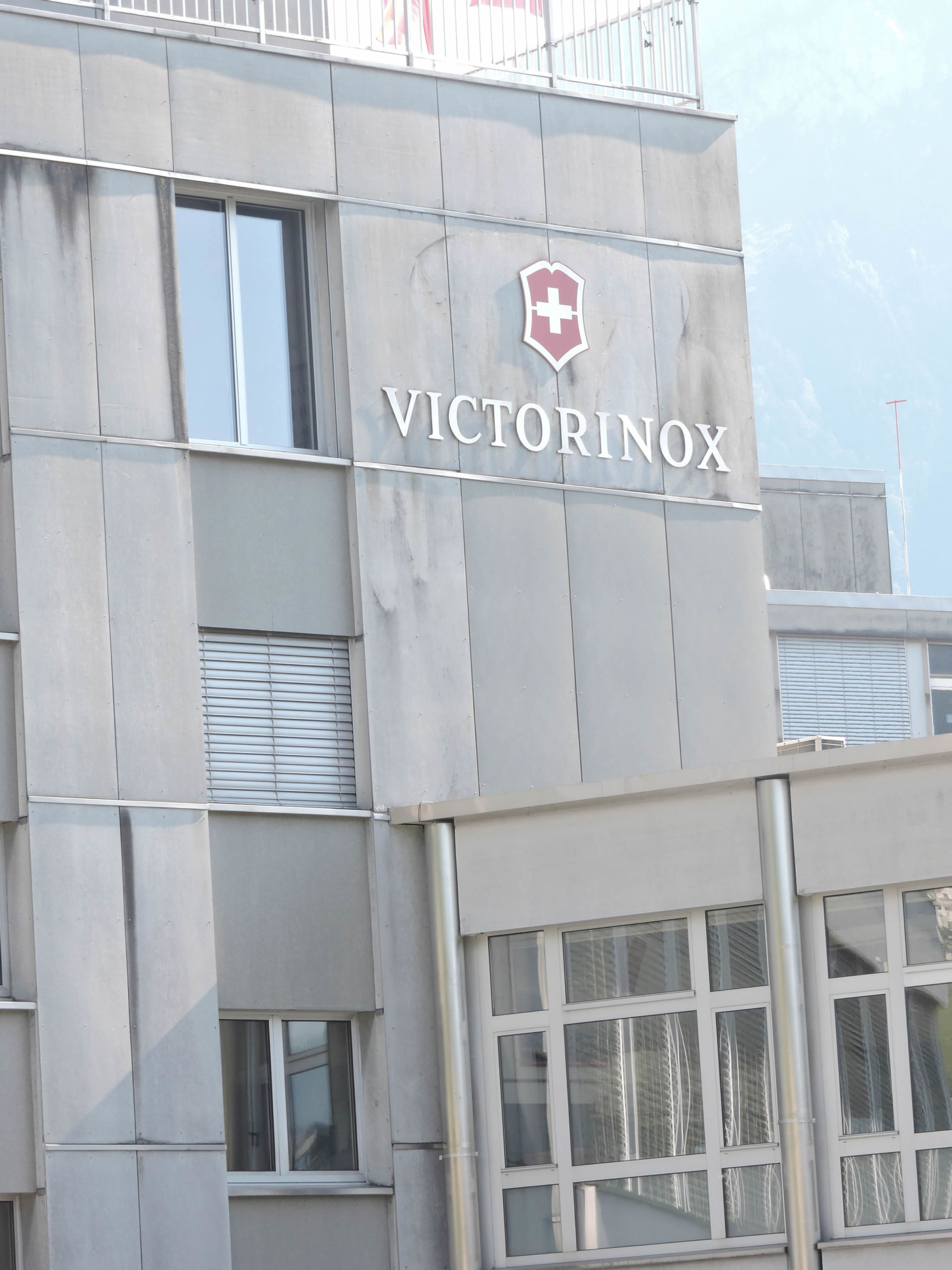
| Further down, Ibach unfolds, homeland of the Victorinox Swiss knife, a symbol of Swiss ingenuity crafted for the world. Here, the currents of prosperity mingle with modern buildings, markers of a thriving industry, where each day, 25,000 red tools come to life. |
 |
 |
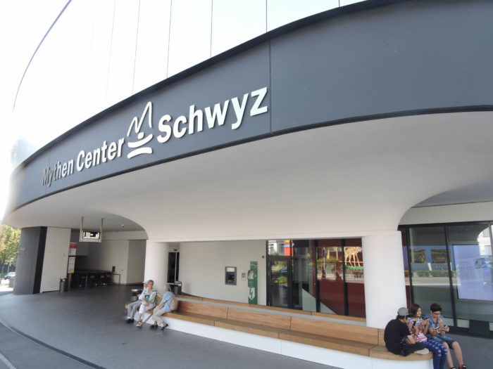
There is money here, evident in the shopping center lining the main road.
| Yet, Victorinox, in the shadow of its success, is surrounded by less flamboyant buildings, discreet witnesses to its daily labor, where the Via Jacobi parts ways with the RN8. |
 |
 |
| Behind the company’s walls, it continues its journey, crossing the Tolbach, brushing against the walls of a modest chapel, before following the gentle song of the stream. |
 |
 |
| Shortly after, it grazes the Church of St Anton, before merging into the heart of Imbach. Chapels and churches, pillars of local piety, blend into the landscape, echoes of a deeply rooted faith. |
 |
 |
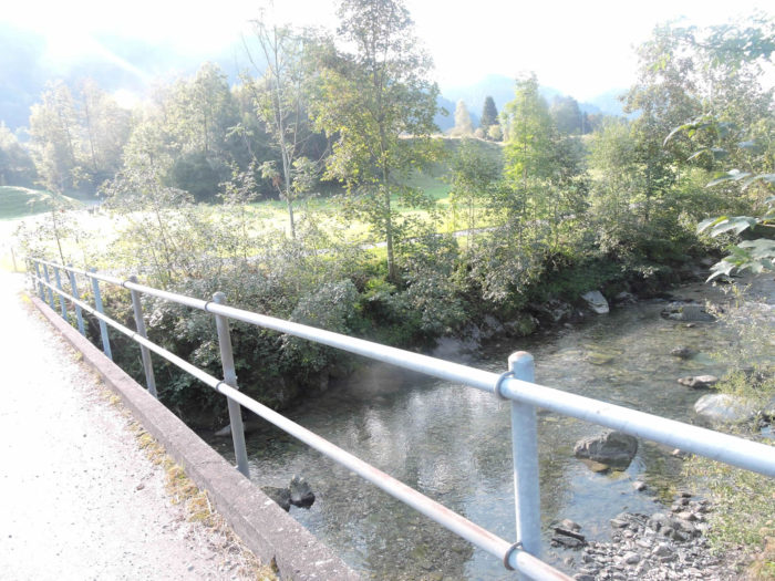
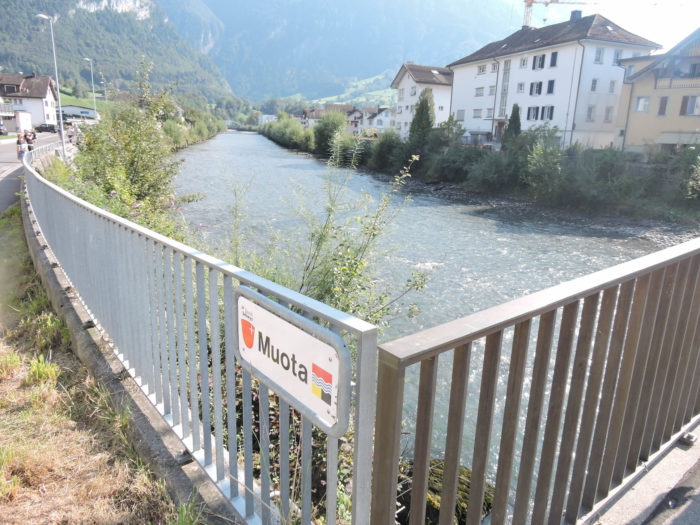
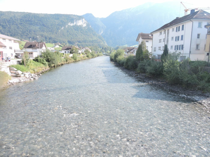
| There, the Via Jacobi crosses the Muota, a majestic river, a loyal companion to nature, flowing into the lake, where Brunnen awaits, peaceful and welcoming. |
 |
 |
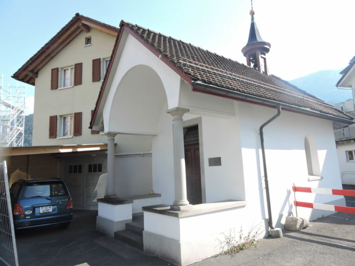
| A small road branches off from Ibach, near a renovated chapel, a proud guardian of the past centuries. |
 |
 |
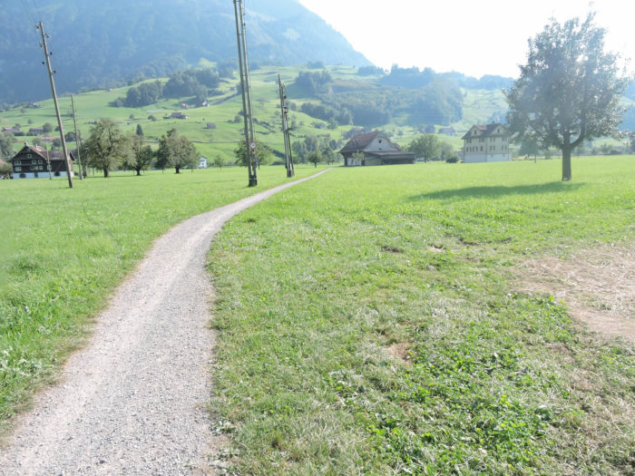
| Then, a path gently winds through the meadows, offering a view of the farms—true havens of order and cleanliness. |
 |
 |
| Here, life breathes in every corner; never does a patch of land spill over, a testament to the harmony between man and nature. There is never an out-of-place manure pile. |
 |
 |
| An oratory, like a forgotten jewel, stands amid the fields, a humble offering to divine grace, lost in the vastness of the green landscape. Churches and chapels are countless in this region |
 |
 |
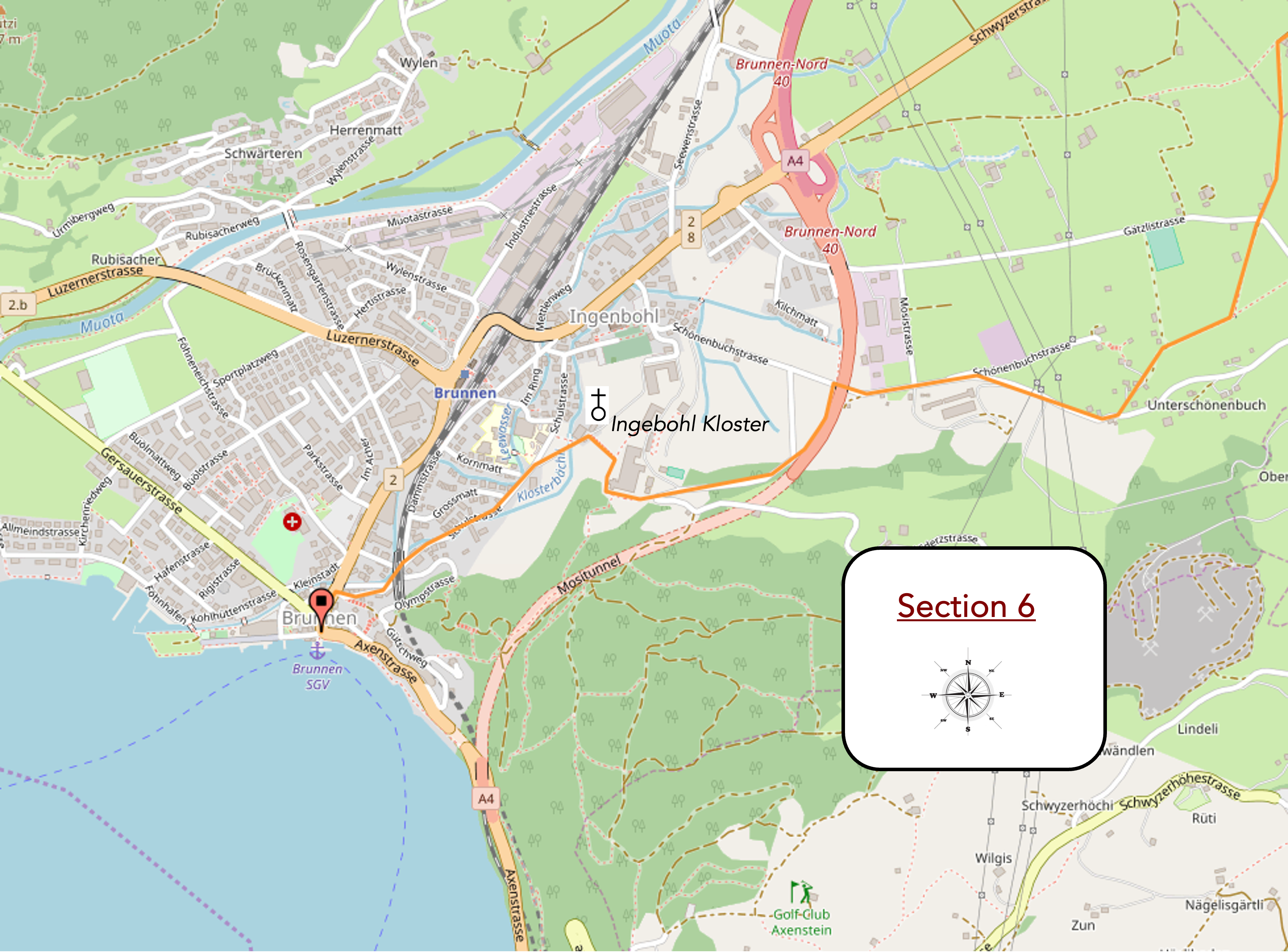
Section 6: The Via Jacobi arrives at the Lake of the Four Cantons (Lake Luzern)
Overview of the route’s challenges: a route with no difficulties whatsoever.
|
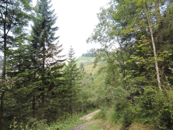
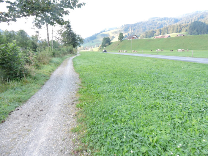
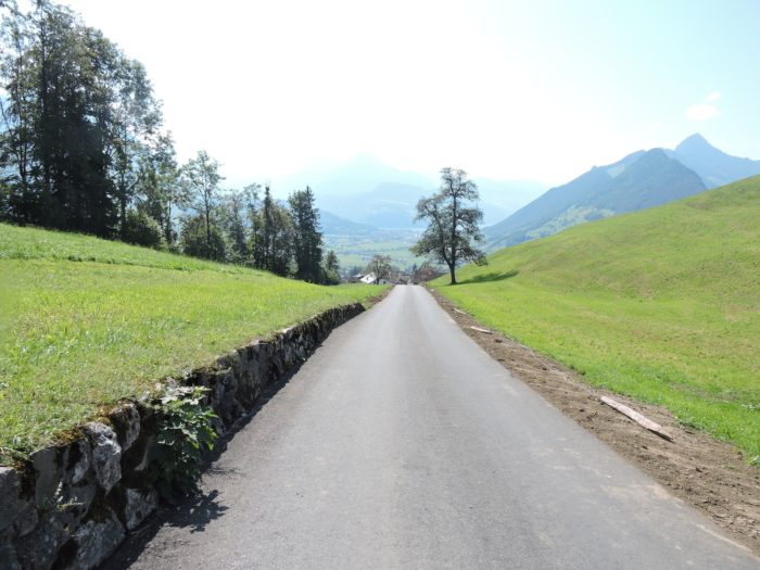
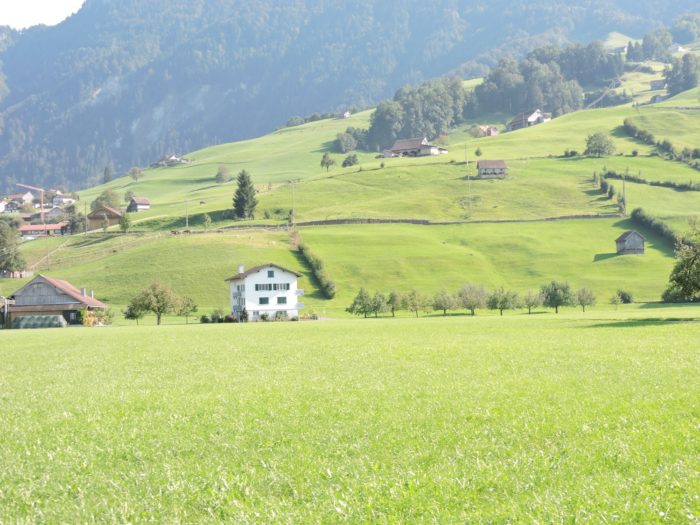
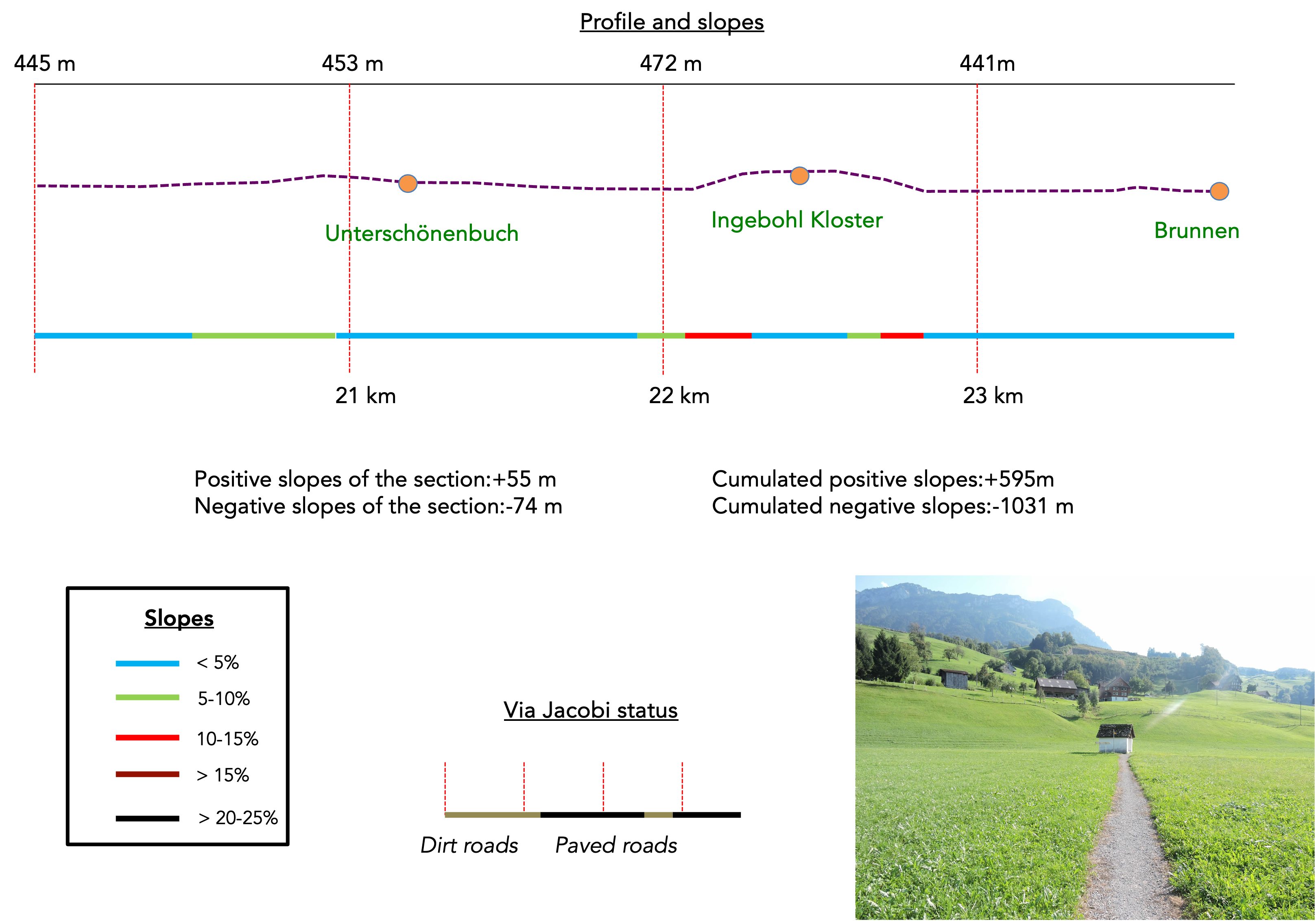
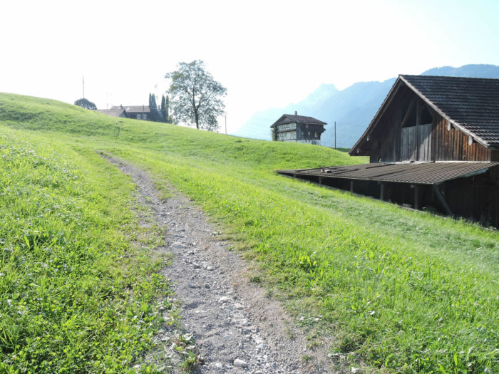
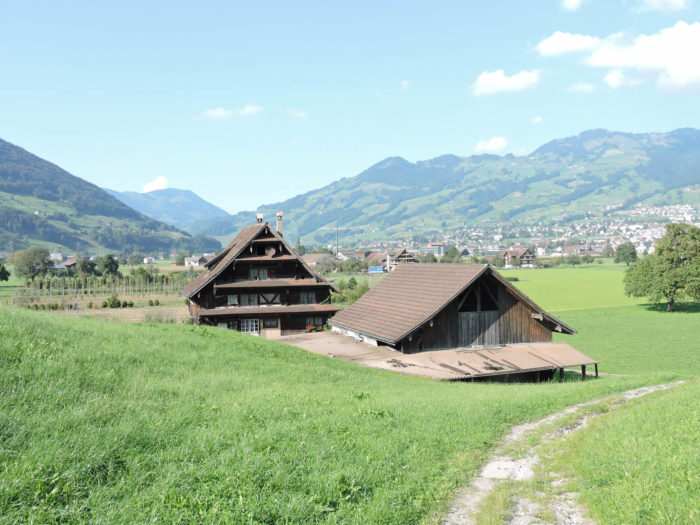
A wider path gracefully ascends the hill, winding through the farms that dot the landscape. Beyond, cherry trees adorn the path, bearing witness to the canton’s fame as a producer of kirsch. In general, the agricultural homes now take on a new modesty, contrasting with the past opulence of the St. Gall canton. Long neglected, Schwyz is trying to regain its beauty.
|
 |
 |
|
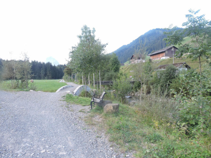
Further on, the Via Jacobi converges with a road, offering access to the charming hamlet of Unterschönenbuch, where the baroque chapel of Katrinakapelle stands majestically. Built in the 16th century, it has withstood the ages, carefully restored in the last century.
|
 |
 |
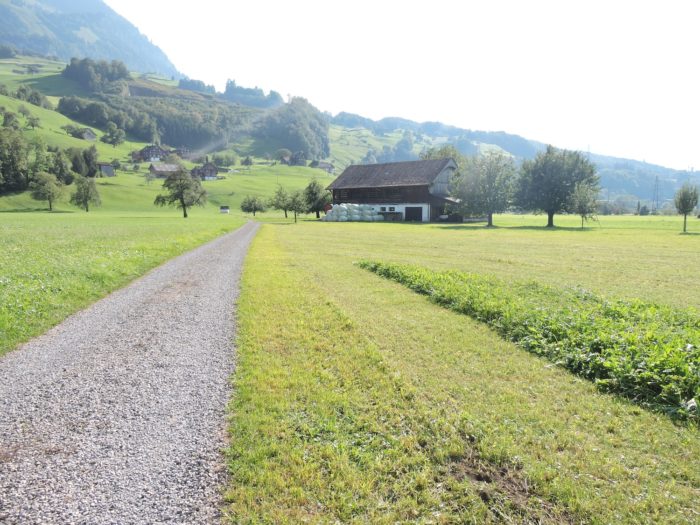
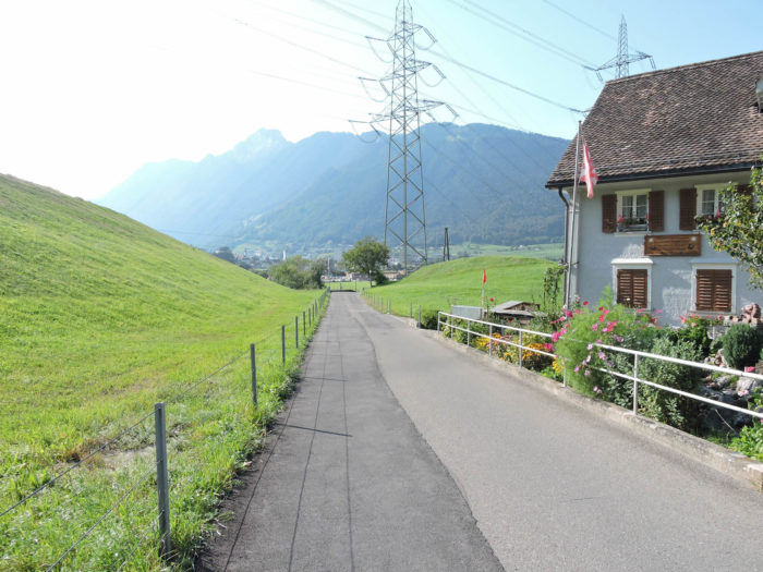
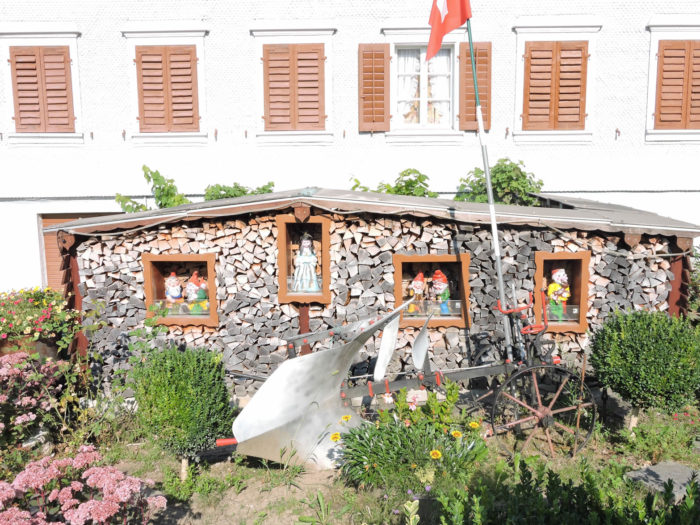
| A small road then descends towards Brunnen, stopping in front of a pile of wood that embodies the very essence of the country: order and a refinement that could be described as baroque. |
 |
 |
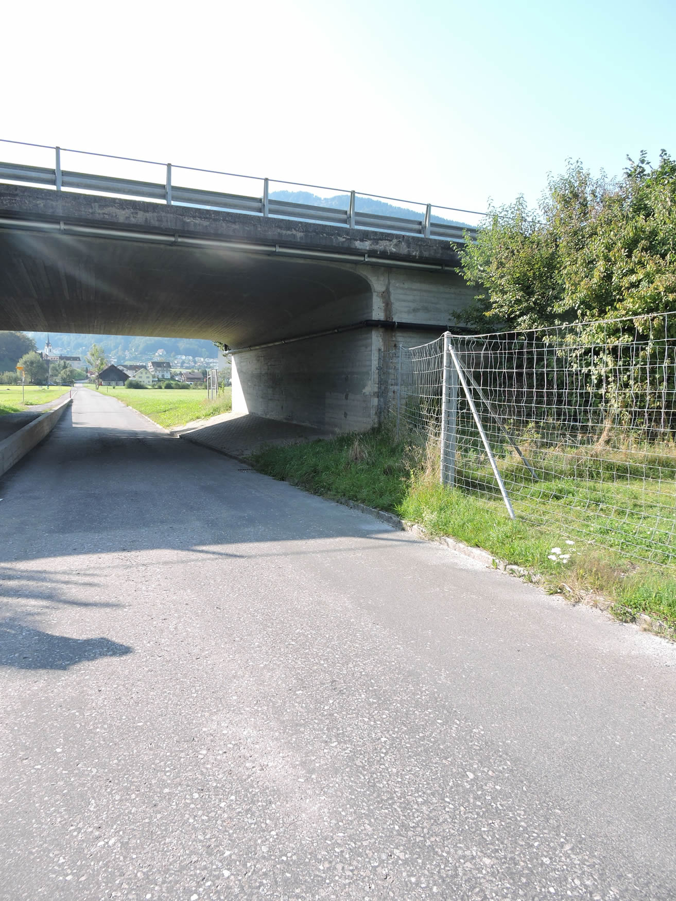
The route soon passes by a modest industrial area, moving under the shadow of the highway.
|
 |
 |
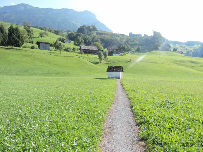
| Afterwards, the Via Jacobi begins an ascent, first via a winding path, then along the road leading to the heights of Brunnen. |
 |
 |
| The journey leads to Ingelbohl, on the hill of Brunnen, where a large cloister stands proudly. Founded in the 19th century by the Capuchins, this sacred building now houses the Sisters of Charity of the Cross, with 3,200 sisters spread across 17 countries. It also hosts a private school and a girls’ boarding school, Theresianum, a true institution in the country. |
 |
 |
| From the cloister, a staircase descends towards the plain, close to a farm offering lodging in its straw. From there, the station or the lake are easily accessible. |
 |
 |
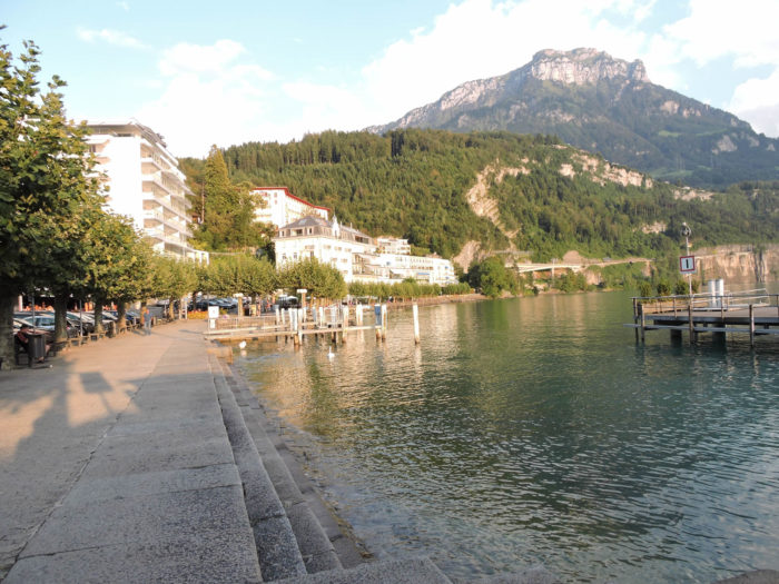
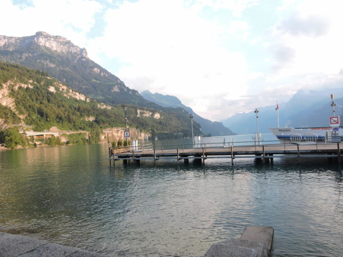
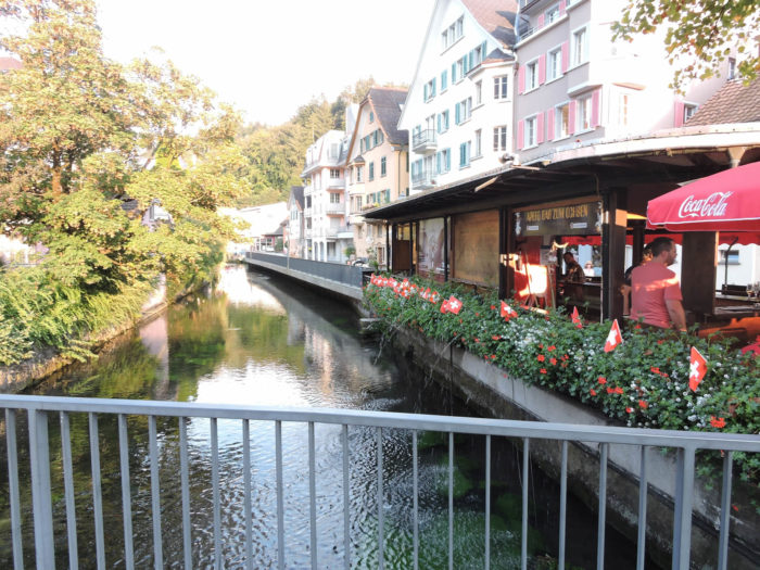
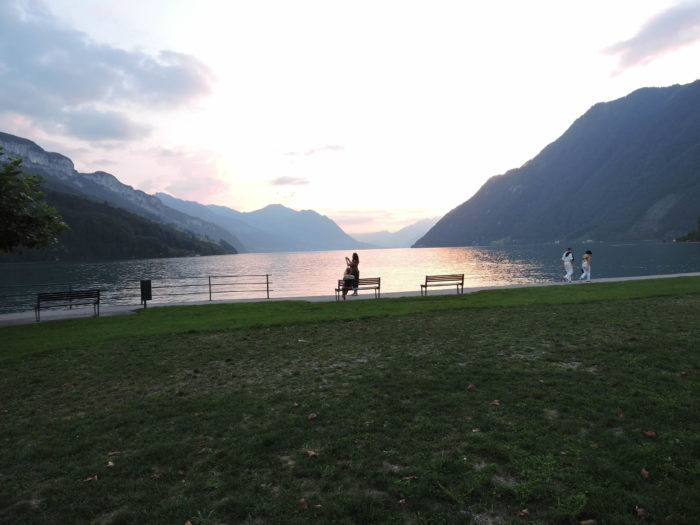
Although legally attached to the municipality of Ingelbohl, Brunnen attracts crowds because of its picturesque harbor and lakeside shores. You are now at the edge of the Lake of the Four Cantons, where the cantons of Uri, Schwyz, Unterwald, and Luzern are mirrored. The spectacle is simply magnificent, with the mountains reflected in the peaceful waters of the lake and the boats gliding along its shores.
| Not far from the harbor, a discreet canal murmurs peacefully. The surrounding restaurants and hotels overflow with charm and authenticity. |
 |
 |
| After the solemn oath taken in 1291 on the Rütli meadow by the three founding cantons of Uri, Schwyz, and Unterwald, the alliance was renewed in 1315 at Brunnen, thus sealing their shared fate against foreign oppressors. The Brunnen chapel, also known as the Confederation chapel, stands at the presumed site of this historic oath. |
 |
 |
| As dusk falls over the Lake of the Four Cantons, its magical charm intensifies. |
 |
 |
Accommodation on Via Jacobi
- Martin Kälin, Tracslauertrasse 4a, Trachslau; 055 412 10 44; Guestroom, breakfast
- B&B Schuler-Marty, Dorfstrasse 54, Alpthal; 055 412 15 61; Guestroom, breakfast
- B&B Mythenstube, Dorfstrasse 50, Alpthal; 055 556 83 89; Guestroom, breakfast
- Gasthaus Alpschloss zu den Pfauen, Dorfstrasse 33, Alpthal; 055 412 28 18/079 505 51 58; Guestroom, breakfast
- Berggasthaus Hagenegg, Hagenegg; 041 811 17 74; Hotel, dinner, breakfast
- Steinstöckli, Rickenbachstrasse 33, Schwyz; 041 810 10 51; Guestroom, cuisine
- Hirschen Backpacker Hotel, Hinterdorfstrasse 14, Schwyz; 041 811 12 76; Hotel**, dinner, breakfast
- Wysses Rössli, Am Hauptplatz, Schwyz; 041 811 19 22; Hotel****, dinner, breakfast
- Cheng Chuan Hotel Post, Schmiedgasse 92, Ibach; 041 811 16 53; Hotel, dinner, breakfast
- Diti Nisi Restaurant, Schmiedgasse 92, Ibach; 041 810 18 41; Hotel, dinner, breakfast
- Kloster Ingebohl, Schönenbuchstrasse 2, Ingebohl, Brunnen; 041 825 24 50; Guestroom, breakfast
- Schlafen im Stroh, Famile Bucheli, Schulstrasse 26, Brunnen; 041 820 06 70; Guestroom (straw), dinner, breakfast
- Gasthaus Rosengarten, Bahnhofstrasse 33, Brunnen; 041 820 17 23; Hotel, dinner, breakfast
- Gasthaus Ochsen, Bahnhofstrasse 18, Brunnen; 041 820 55 66; Hotel***, dinner, breakfast
- Brunnerhof, Gersauerstrasse 3, Brunnen; 041 820 17 56; Hotel***, dinner, breakfast
- Weisses Rössli, Bahnhofstrasse 8, Brunnen; 041 825 13 00; Hotel***, dinner, breakfast
- City-Hotel, Gersauerstrasse 21, Brunnen; 041 825 10 10; Hotel****, dinner, breakfast
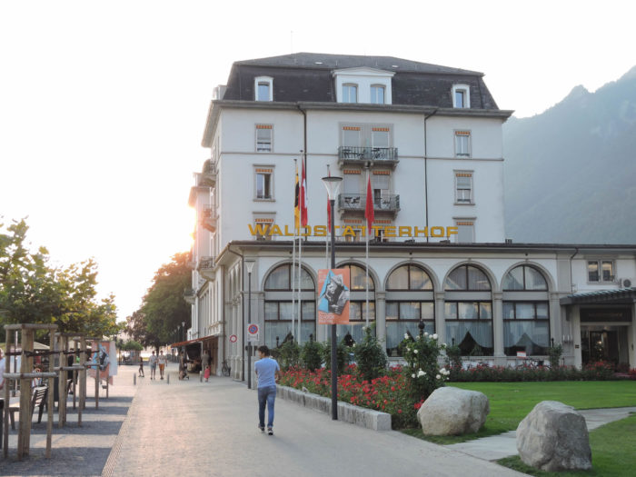
- Seehotel Waldstätterhof, Waldstätterquai 6, Brunnen; 041 825 06 06; Hotel****, dinner, breakfast
Finding accommodation on this stage shouldn’t pose major difficulties. You’ll be in cities with all the necessary amenities. However, it’s still wise to make reservations for peace of mind.
Feel free to add comments. This is often how you move up the Google hierarchy, and how more pilgrims will have access to the site.
|
 |
Next stage : Stage 6: From Brunnen to Stans |
|
 |
Back to menu |