Toward a roman gem by the lake
DIDIER HEUMANN, ANDREAS PAPASAVVAS
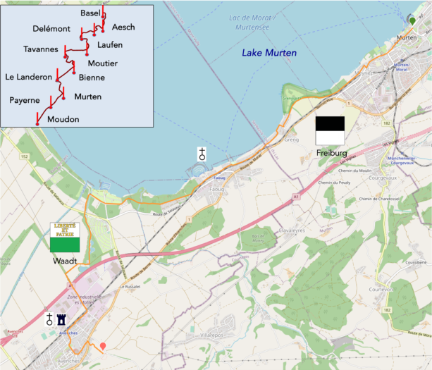
We divided the course into several sections to make it easier to see. For each section, the maps show the course, the slopes found on the course, and the state of the route (paved or dirt roads). The courses were drawn on the « Wikilocs » platform. Today, it is no longer necessary to walk around with detailed maps in your pocket or bag. If you have a mobile phone or tablet, you can easily follow routes live.
For this stage, here is the link:
https://fr.wikiloc.com/itineraires-randonnee/de-morat-a-aventicum-par-le-lac-de-morat-99779681
| It’s clear that not all travelers are comfortable using GPS and navigating via smartphone, and there are still many areas without an internet connection. As a result, you find a book on Amazon that covers this journey.
If you only want to consult lodging of the stage, go directly to the bottom of the page. |
|
In the previous stage, you followed the route suggested by the Friends of Compostela to reach Avenches. However, there is another equally charming alternative: walking along the lake. This almost flat route offers a different panorama. While you won’t discover the ancient site of Aventicum from the heights, through the East Gate, if you plan to stop in Avenches, a full tour of the site won’t be an issue.
Initially, the journey to Greng follows the same route as the one through the hills. At Greng, the lakeside variant offers a refreshed experience. Along this route, you will enjoy new perspectives of the landscape up to Greng, giving you the impression of walking on an entirely new way. This option is also slightly shorter, reducing the stage by two kilometers.
.
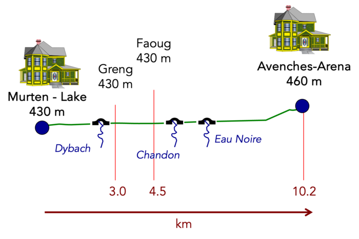
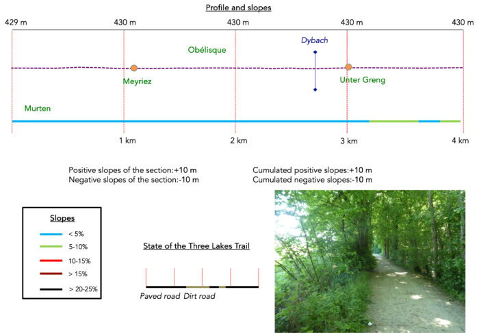
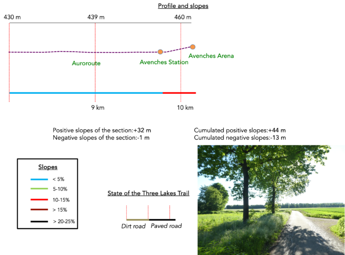
Difficulty level : Today, the elevation changes are minimal (+44 meters/-13 meters), and there are no particular obstacles along your way.
State of the Via Jura : The route alternates between paved sections and more natural trails, providing a varied walking experience:
- Paved roads: 5.0 km
- Dirt roads : 5.2 km
Sometimes, for reasons of logistics or housing possibilities, these stages mix routes operated on different days, having passed several times on these routes. From then on, the skies, the rain, or the seasons can vary. But, generally this is not the case, and in fact this does not change the description of the course.
It is very difficult to specify with certainty the incline of the slopes, whatever the system you use.
For those seeking « true elevations » and enthusiasts of genuine altimetric challenges, carefully review the information on mileage at the beginning of the guide.

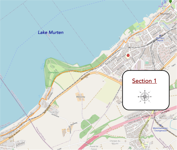
Section 1 : Walk almost along the lake
Overview of the route’s challenges : This route presents no difficulties.
|
From Murten, whether you choose the path along the heights or by the lake, the route remains the same until Unter Greng, where a neighborhood of elegant villas unfolds. Some of these residences seem almost bathed by the water and reeds lining the lake. . |
|
 |
 |
At this point, you’ll leave behind the highland path and take the lakeside variant. This transition marks the beginning of a new phase of your journey, offering a fresh perspective for the next leg of your trip.
| On the lakeside route, a small path discreetly slips behind the houses to reconnect with the lake’s shore. | |
 |
 |
 |
 |
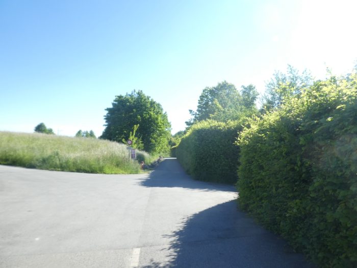
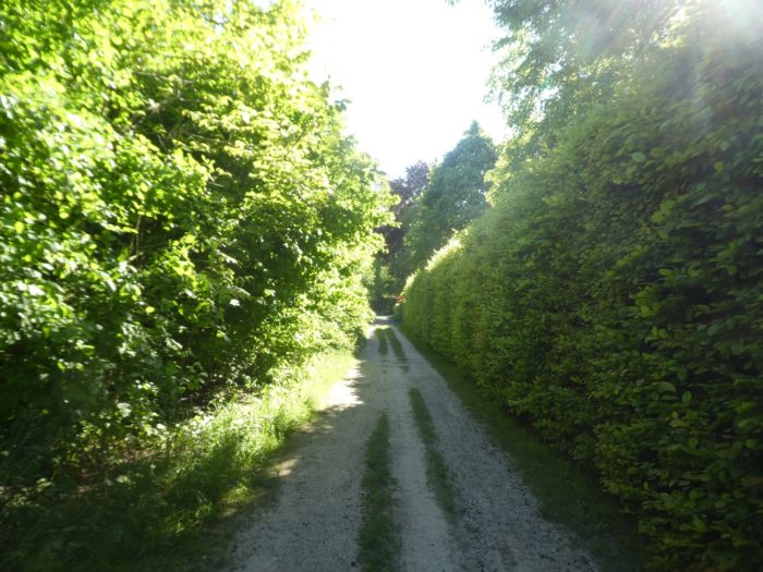
| Soon after, you’ll follow a narrow road that winds through neighborhoods of elegant villas, bordered by hedges of thuja and laurels. The atmosphere exudes undeniable charm, offering a pleasant lakeside living environment. | |
 |
 |
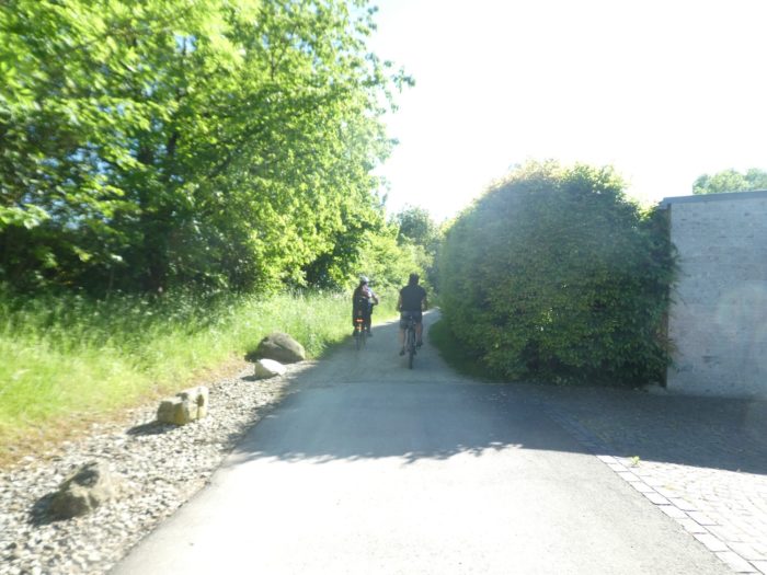
| You will encounter many hikers and cyclists, drawn by the gentle nature of this flat route. Soon, the paved road gives way to a dirt path. | |
 |
 |
| As you continue, the path meets the railway line but does not cross it. | |
 |
 |
| It continues on, threading between the railway and the lakeside villas, always shielded by lush hedges. This part of the hike leads you through Faoug, a natural continuation of the route from Greng. | |
 |
 |
 |
 |
Section 2 : A peaceful lakeshore and stunning ponds
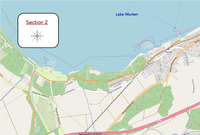
Overview of the route’s challenges : This route presents no difficulties.

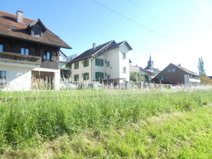
| Shortly after, the paved road resumes as the route reaches the center of Faoug, a peaceful village where old houses and newer, well-built, and carefully maintained residences stand side by side. | |
 |
 |
| You’ll come across a picturesque harbor and a charming little park, adding a touch of serenity to this welcoming setting. Here, the road crosses the railway to reach the other side. | |
 |
 |
| The road continues along the railway, heading toward Faoug station. | |
 |
 |
 |
 |
 |
 |
|
Throughout this stretch, you’ll walk along the outskirts of Faoug, where a slight lake activity can be noticed, with boats lined up, waiting by the shore, offering a lively and authentic glimpse of lakeside life that enriches your hike. |
|
 |
 |
|
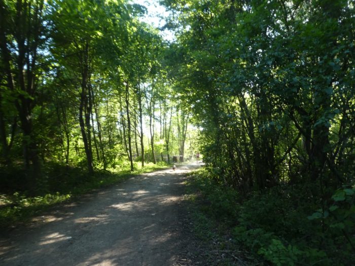
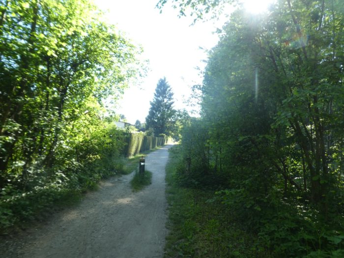
Further along, the route regretfully leaves the lakeshore to dive into a small deciduous woodland. Soon, the pavement gives way to a dirt path, signaling a change in ambiance. |
|
 |
 |
 |
 |
|
This section of the route skirts a fairly densely populated area, where numerous residences—both primary and secondary—line the path. The lake has always attracted a wealthy clientele, often hidden behind lush hedges. |
|
 |
 |
 |
 |
|
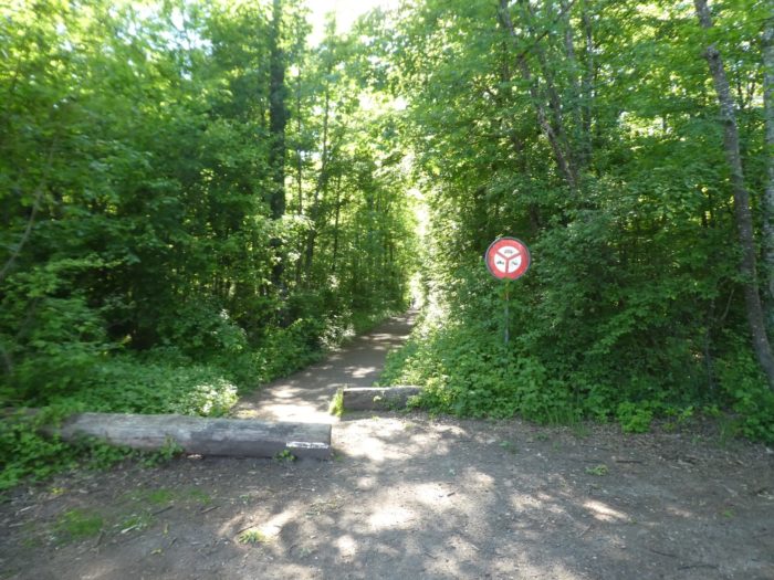
As you move forward, the houses fade away, and the path enters a denser deciduous forest. Majestic beeches dominate here, refusing to yield space to the few oaks and maples present. |
|
 |
 |
 |
 |
This forest offers an almost divine setting, where the Chandon, a quiet stream, gracefully meanders through the thick foliage.
|
The path stays in this enchanting scenery for a while, where beech saplings rise like an army ready for battle. |
|
 |
 |
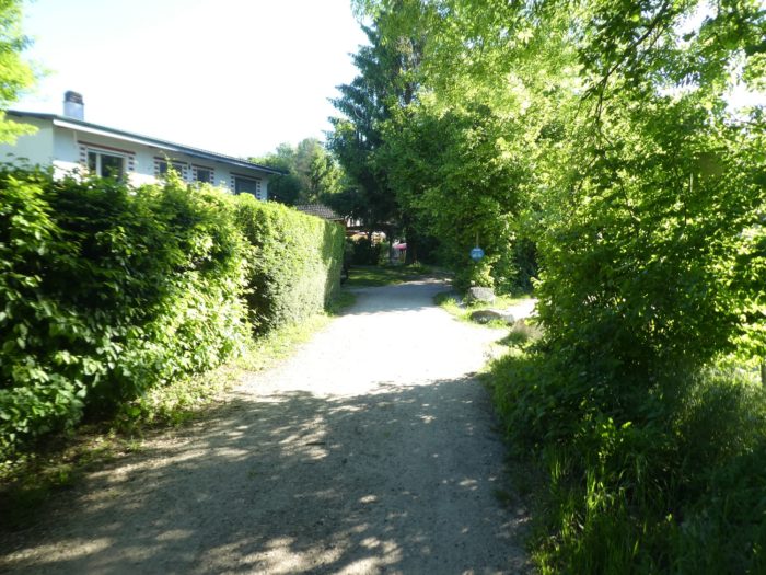
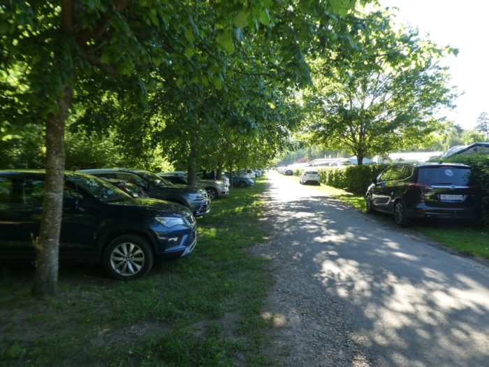
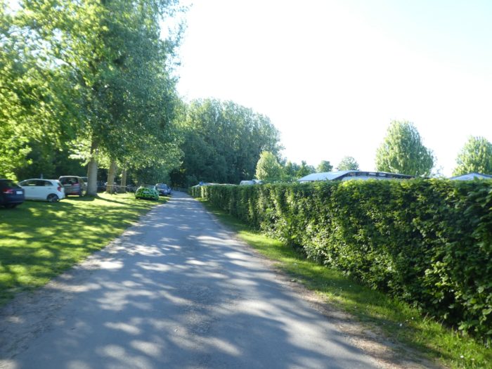
| Eventually, the route emerges from this magical forest, arriving at Avenches-Beach, a lively spot, especially on sunny weekends. | |
 |
 |
 |
 |
|
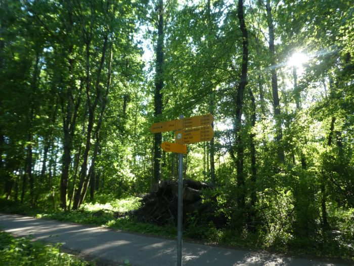
At the end of the beach, a sign indicates that Avenches is 45 minutes away. Another route continues along the lake toward Neuchâtel. Here, you will cross the Eau Noire, a discreet river, before the trail abruptly turns inland. |
|
 |
 |
|
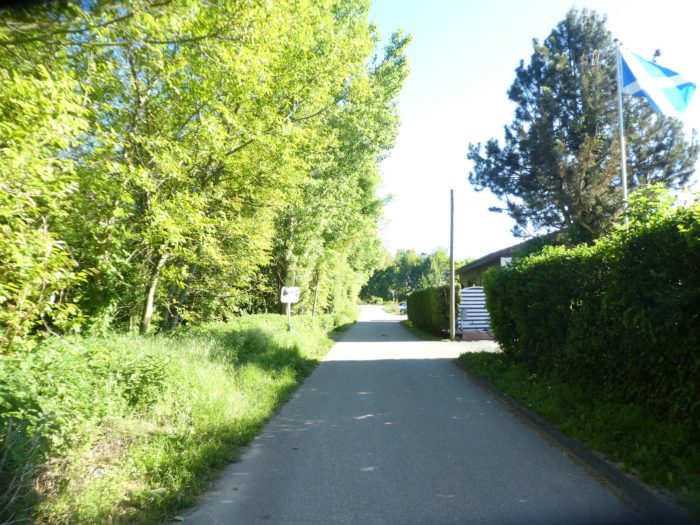
A road continues under the tall trees, following the invisible river hidden in the dense vegetation. . |
|
 |
 |
 |
 |
|
After this straight section, the route leads to the Salavaux Road, a fairly busy route. From here, you’ll take a small path that runs along the river. |
|
 |
 |
|
A narrow trail winds gracefully beneath the deciduous trees, cutting through wild grasses. In addition to hornbeam and beech sprouts, you’ll spot ash trees, a rare sight in Switzerland. |
|
 |
 |
|
At first, the river is almost entirely hidden by the foliage. However, it becomes more visible as you proceed, revealing a modest flow of water. |
|
 |
 |
|
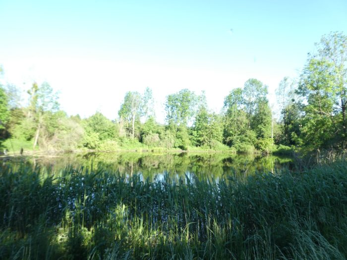
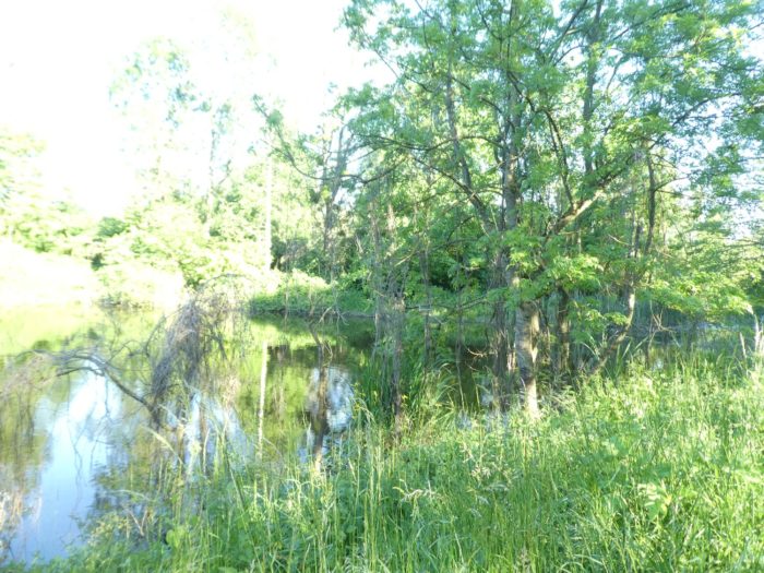
The path drifts along peacefully, lulled by the surrounding wilderness, until it unveils a true treasure: a pond—or rather, several—that shimmer under the light. The water, gleaming like a mirror, is rarely murky or mysterious, occasionally offering a fleeting glint of light. |
|
 |
 |
 |
 |
|
The pond appears both peaceful and mysterious. Sparse reeds stand as silent sentinels, while the roots of deciduous trees anchor deep into the water. Silence reigns supreme here, enveloping the area in a quiet magic. Today, the frogs, dragonflies, and ducks have vanished, leaving behind a landscape filled with mystery and serenity. |
|
 |
 |
Section 3 : A roman city in the Swiss countryside
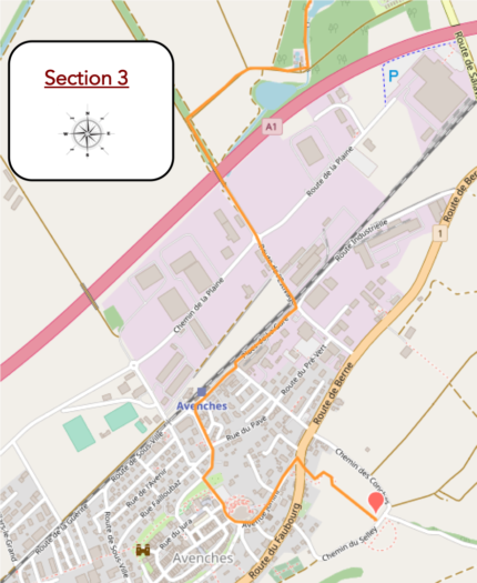
Overview of the route’s challenges : This route presents no difficulties, except for the uphill climb to the town from the station.
|
Further along, as you leave the woodland, the trail takes a turn, but the ponds continue, growing increasingly majestic and expansive. You are immersed in a world of tranquility and silence, a wild and preserved nature that invites contemplation. |
|
 |
 |
 |
 |
| However, after this true paradise, you will soon encounter the usual purgatory. The dirt path leaves this idyllic forest to follow a small road turning sharply toward the plain, a rather featureless area. | |
 |
 |
 |
 |
|
You’ll find yourself surrounded by endless fields of corn and wheat. |
|
 |
 |
|
On the horizon, the town of Avenches gradually comes into view. |
|
 |
 |
|
The road slowly approaches the A1 motorway, passing through an industrial area. Nearby is the NESPRESSO factory, but don’t expect to be intoxicated by the aroma of coffee; the place looks more like a service building. |
|
 |
 |
 |
 |
|
From this point, the route loses its charm. It crosses an industrial zone, as mundane and depressing as those found anywhere in the world. |
|
 |
 |
|
Further on, it crosses the railway and heads towards a rather unappealing train station. |
|
 |
 |
 |
 |
|
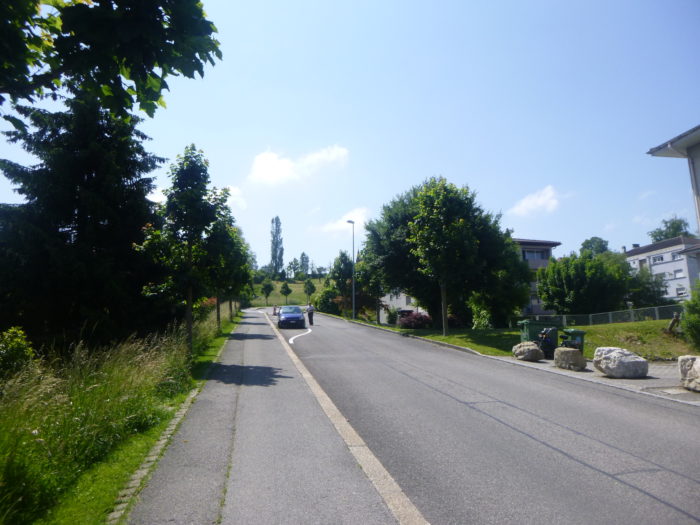
The station lies well below the town center, perched atop a hill. To reach it, you’ll need to take General Guisan Avenue, a steep road that leads you to the summit. |
|
 |
 |
|
Quickly, you’ll arrive below the castle, just steps away from the town center. From there, all that’s left is to explore the Aventicum site. For more details on this visit, please refer to the previous stage. |
|
 |
 |
Accommodation on the Three Lakes trail
- Auberge de la Croix Blanche, Route de Donatyre 22, Villarepos; 026 675 30 75; Hotel***, dinner, breakfast
- Auberge de jeunesse, Rue du Lavoir 5, Avenches; 026 675 26 66; Youth hostel, breakfast.
- B&B Les Helvètes, Rue des Helvètes 3, Avenches; 078 602 85 95; Guestroom, breakfast
- Swiss Hôtel La Couronne, Rue Centrale 20, Avenches; 026 675 54 14; Hotel***, dinner, breakfast
The Three Lakes region remains primarily popular with local tourists. As a result, accommodations are not abundant, except in cities with international tourism appeal, such as Murten, which remains the primary choice. Elsewhere, lodging options are more limited, with the exception of Airbnb rentals, for which we do not have addresses. There is not much available before reaching Avenches, where all amenities are found. It is essential to book well in advance.
Feel free to add comments. This is often how you move up the Google hierarchy, and how more pilgrims will have access to the site.
 |
Next stage : Stage 11: From Avenches to Payerne |
 |
Back to menu |
