Near the end of the Canton of Bern
DIDIER HEUMANN, ANDREAS PAPASAVVAS
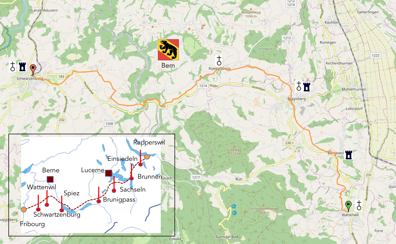
We divided the course into several sections to make it easier to see. For each section, the maps show the course, the slopes found on the course, and the state of the route (paved or dirt roads). The courses were drawn on the « Wikilocs » platform. Today, it is no longer necessary to walk around with detailed maps in your pocket or bag. If you have a mobile phone or tablet, you can easily follow routes live.
For this stage, here is the link:
https://fr.wikiloc.com/itineraires-randonnee/de-wattenwil-a-schwarzenberg-par-la-via-jacobi-4-32231873
|
Not all pilgrims are necessarily comfortable using GPS or navigating routes on a mobile device, and there are still many areas without an internet connection. For this reason, you can find several books on Amazon dedicated to the major Via Jacobi 4 route, which runs through the heart of Switzerland and over the Brünig Pass. The first guide leads pilgrims through the German-speaking part of Switzerland up to Fribourg, while the second continues through French-speaking Switzerland to Geneva. We have also combined these two books into a compact, lighter, and highly practical version. While the descriptions have been slightly condensed, they remain detailed enough to guide you step by step along the way. Recognizing the importance of traveling light, this latest edition has been designed to provide only the essentials: clear and useful information, stage by stage, kilometer by kilometer. The stages have been carefully adjusted to ensure accessibility and alignment with available lodging options. These books go beyond simple practical advice. They guide you kilometer by kilometer, covering all the crucial aspects for seamless planning, ensuring that no unexpected surprises disrupt your journey. But these books are more than just practical guides. They offer a complete immersion into the enchanting atmosphere of the Camino. Prepare to experience the Camino de Santiago as a once-in-a-lifetime journey. Put on a good pair of walking shoes, and the path awaits you.
|
|
 |
If you only want to consult lodging of the stage, go directly to the bottom of the page.
Today, the journey begins through the last hamlets of the Thun district before winding through the countryside and picturesque villages of the Schwarzenburg district, nestled between the meandering waters of the Scharzwasser to the east and the bends of the Sengine to the west. This region holds a unique history, shaped by the sale, in the 15th century, of its lands in equal parts to the cantons of Fribourg and Bern by the Dukes of Savoy. Thus began the austere era of dual rule, a period that lasted until 1798, leaving its mark on the destiny of this small, often impoverished territory, as neither Bern nor Fribourg were inclined to substantially invest in its development. It was only with the advent of the Helvetic Constitution in 1798 that Bern was granted full annexation of the Schwarzenburg region, sealing its fate as a Bernese district.
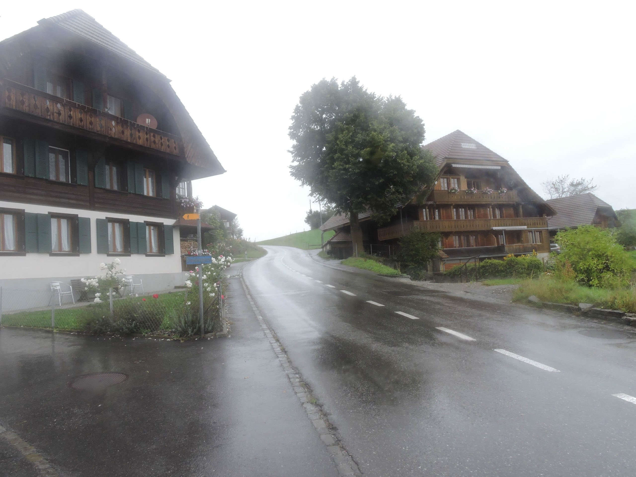
Drawing from our varied experience on Santiago tracks, we have generally favored routes in clear weather. However, it is undeniable that rain has its own allure and transforms landscapes. As the saying goes: « Morning rain doesn’t stop the pilgrim. » During our passage here, the heavens poured their tears abundantly, almost obscuring the route from our view. Capturing images in such conditions posed a challenge, as our lens turned a raindrop into a mere bead of water. Thus, we revisited certain stretches on less gloomy days, offering a unique perspective, the same landscape under different climates, without altering the essential message: that of narrating and illustrating the journey. After all, why not sing in the rain?
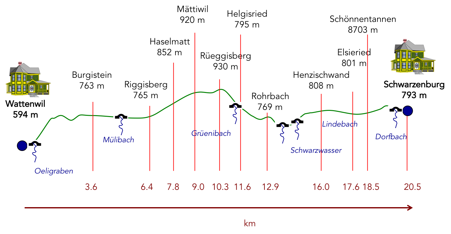
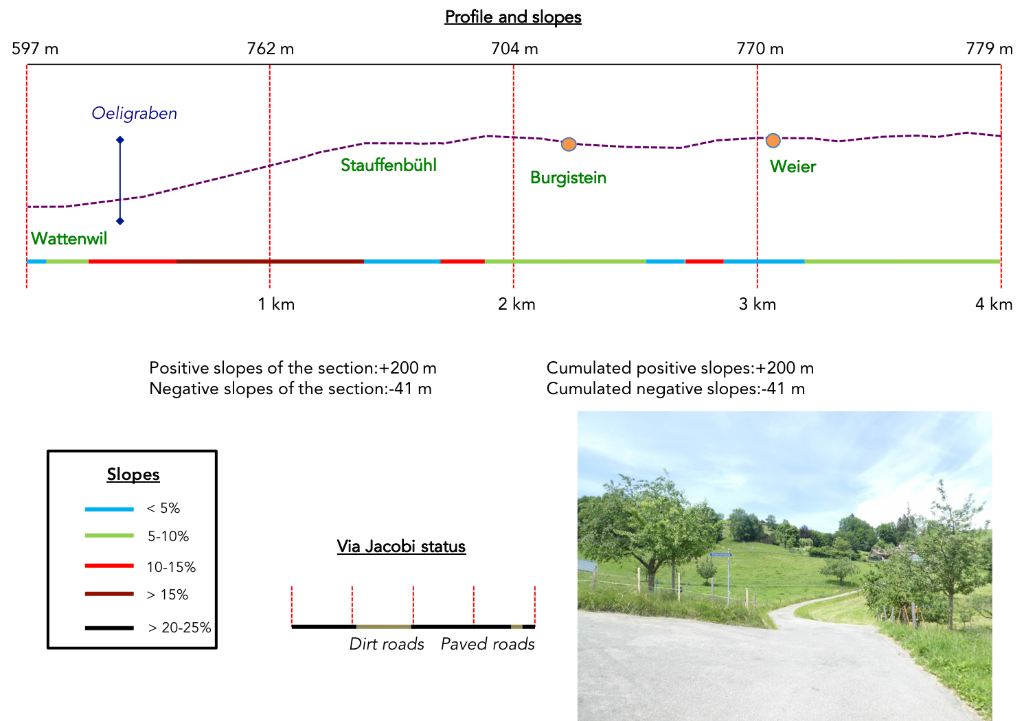
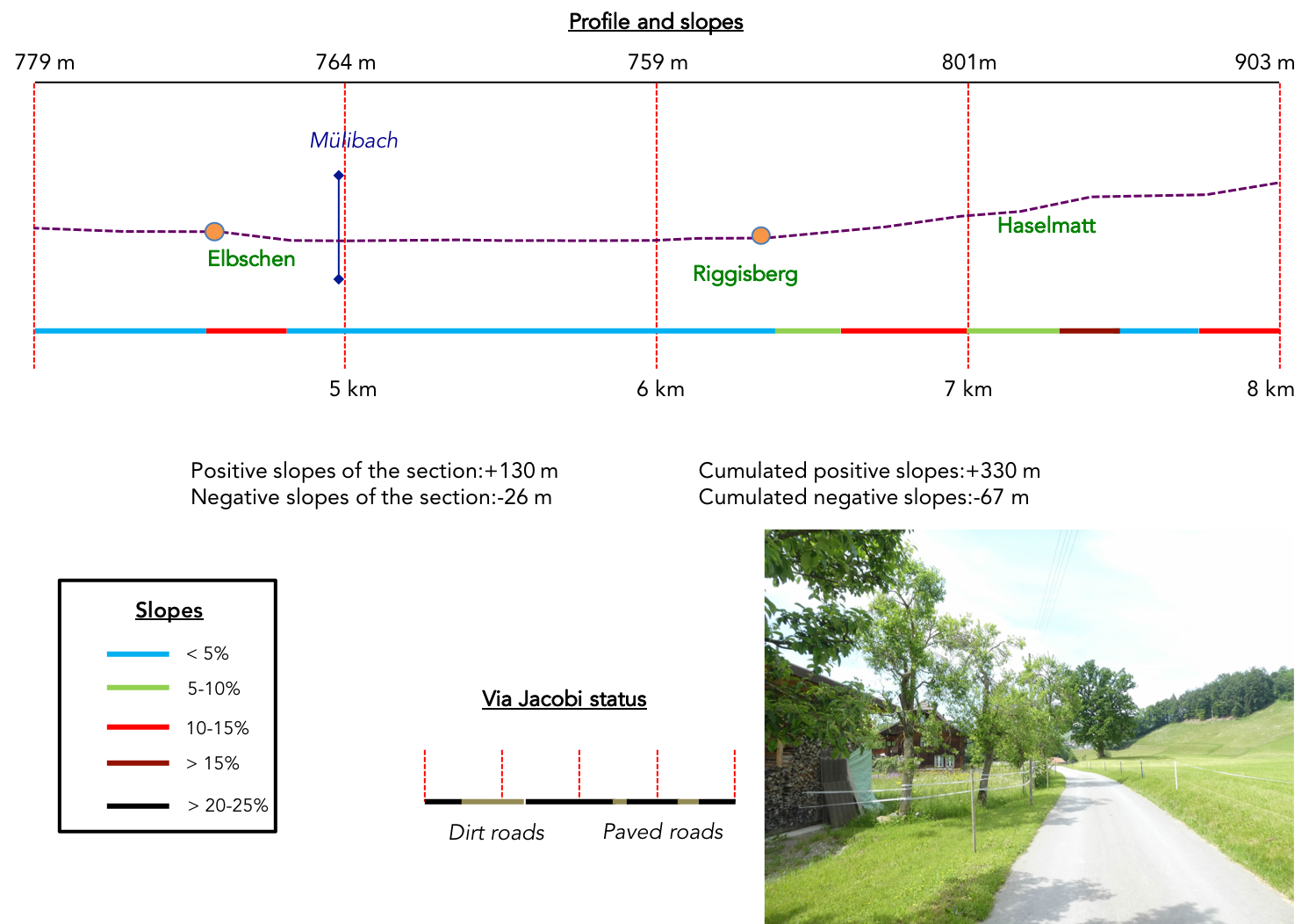
Difficulty level: The elevation gains, with their altitudes (+588 meters/-392 meters), prove significant for a relatively short stage. However, the steepest slopes punctuate our journey throughout the day. First, the initial ascent above Wattenwil proves to be the most challenging. Then, the gentle climb from Riggisberg to Rüeggisberg provides a welcome respite. Finally, the trail winds vigorously through the woods after crossing the Schwarzwasser, just before reaching the end of your stage. The descents, on the other hand, present little difficulty.
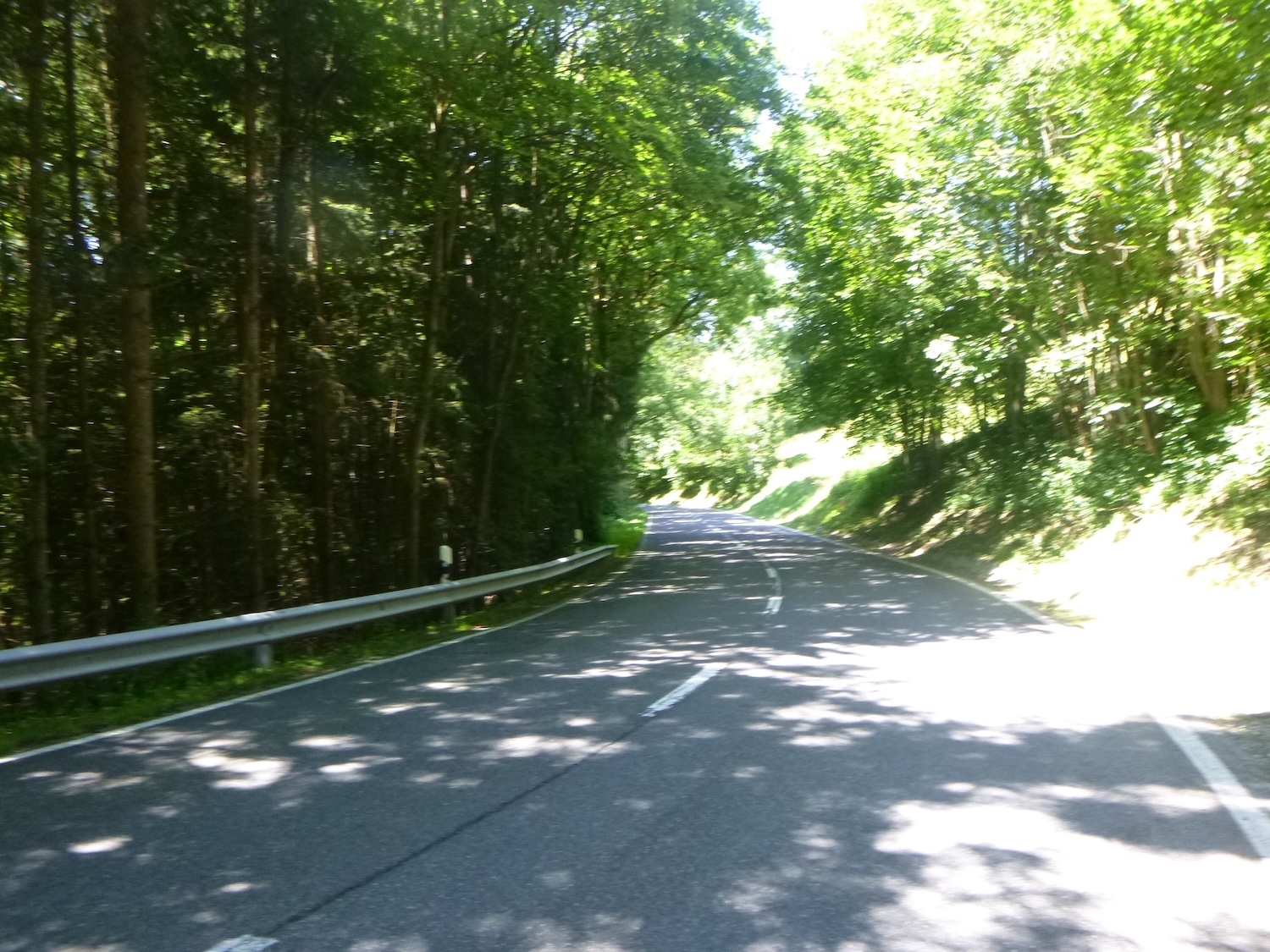
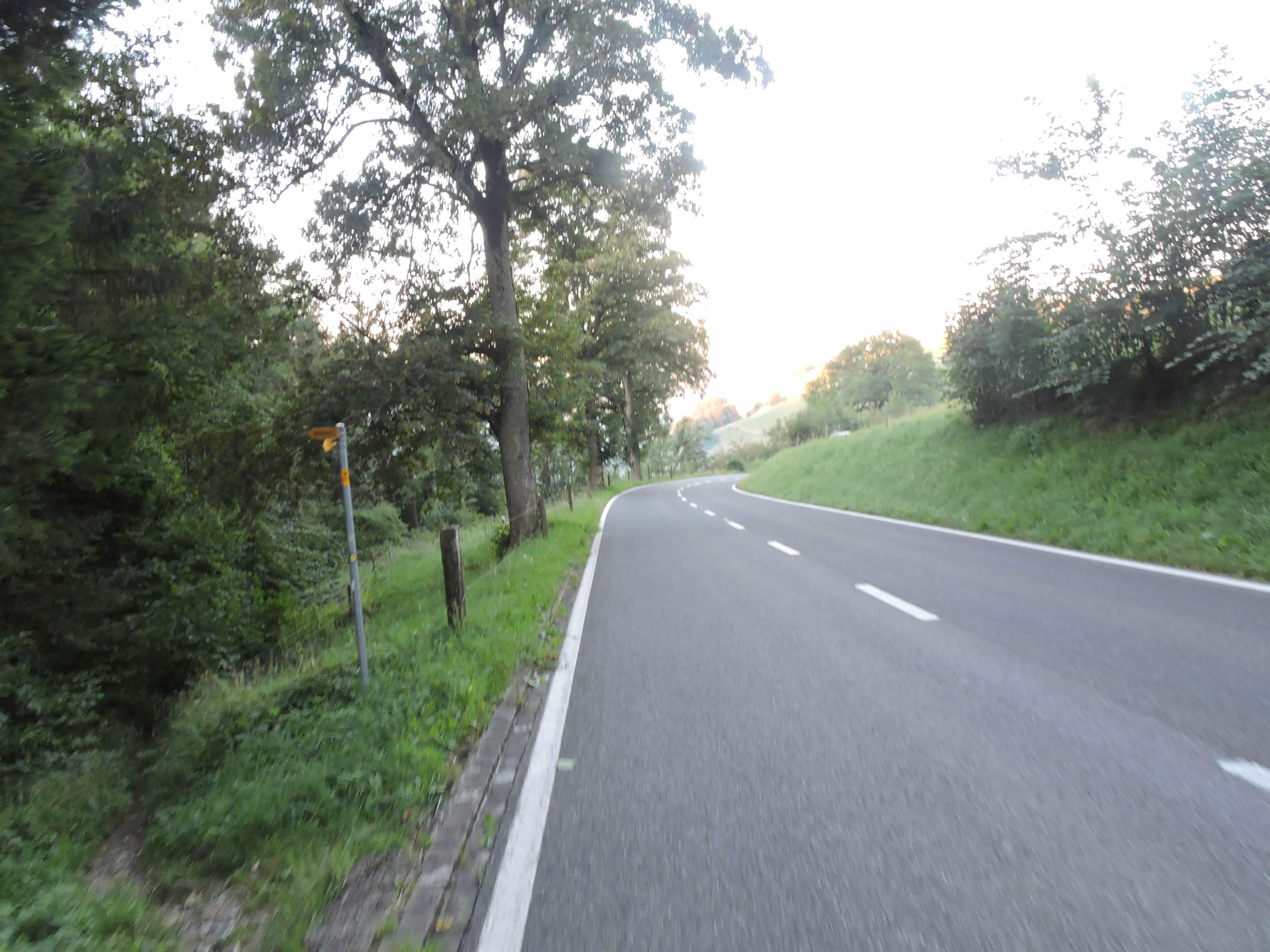
State of the Via Jacobi: True to form, the roads continue to stand out as they dominate the trails amidst nature:
- Paved roads: 12.8 km
- Dirt roads : 7.7 km
Sometimes, for reasons of logistics or housing possibilities, these stages mix routes operated on different days, having passed several times on these routes. From then on, the skies, the rain, or the seasons can vary. But, generally this is not the case, and in fact this does not change the description of the course.
It is very difficult to specify with certainty the incline of the slopes, whatever the system you use.
For those seeking « true elevations » and enthusiasts of genuine altimetric challenges, carefully review the information on mileage at the beginning of the guide.

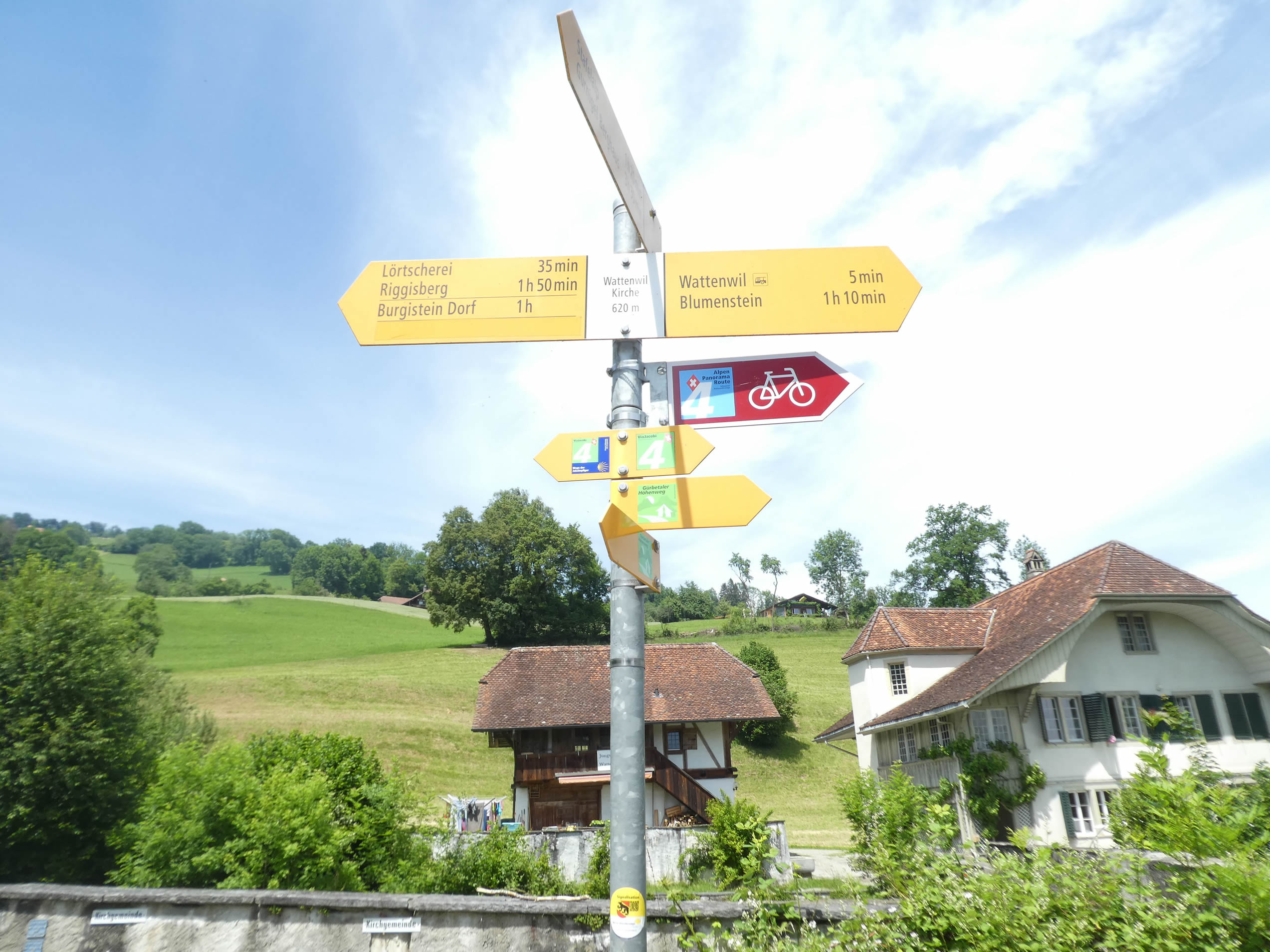
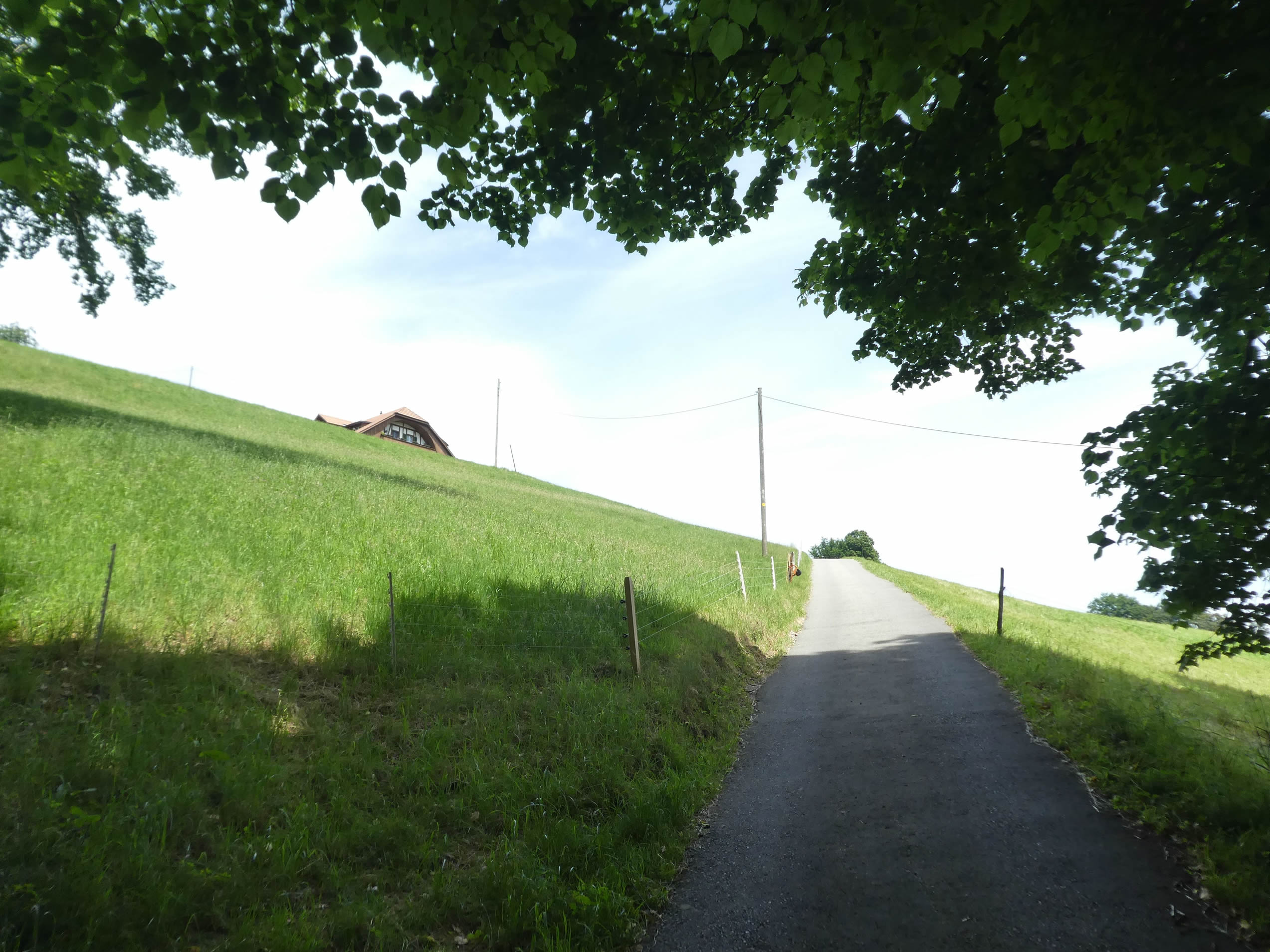
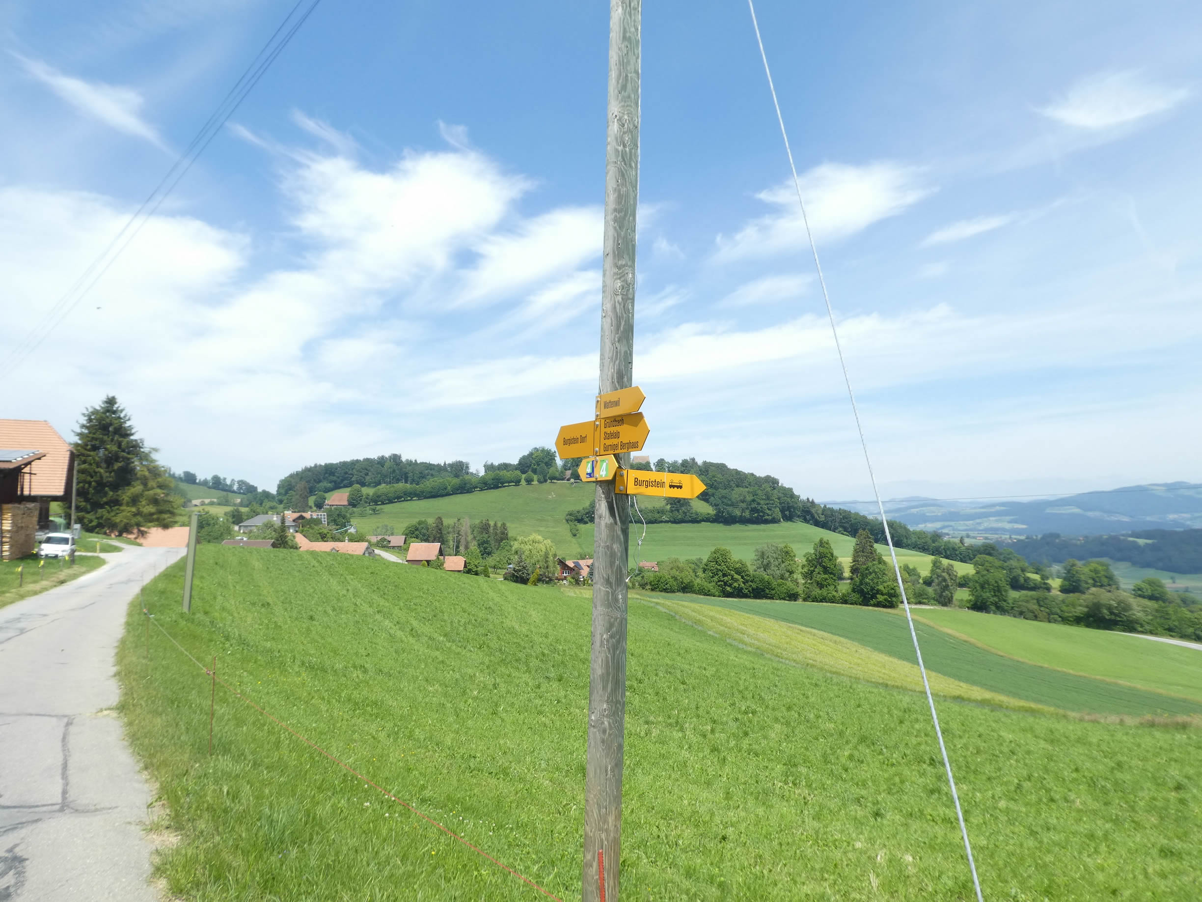
Section 1: On the heights of Wattenwil

Overview of the route’s challenges: steep ascent up the hill.
|
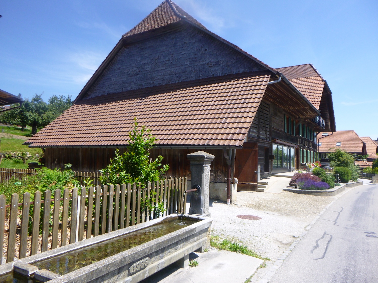
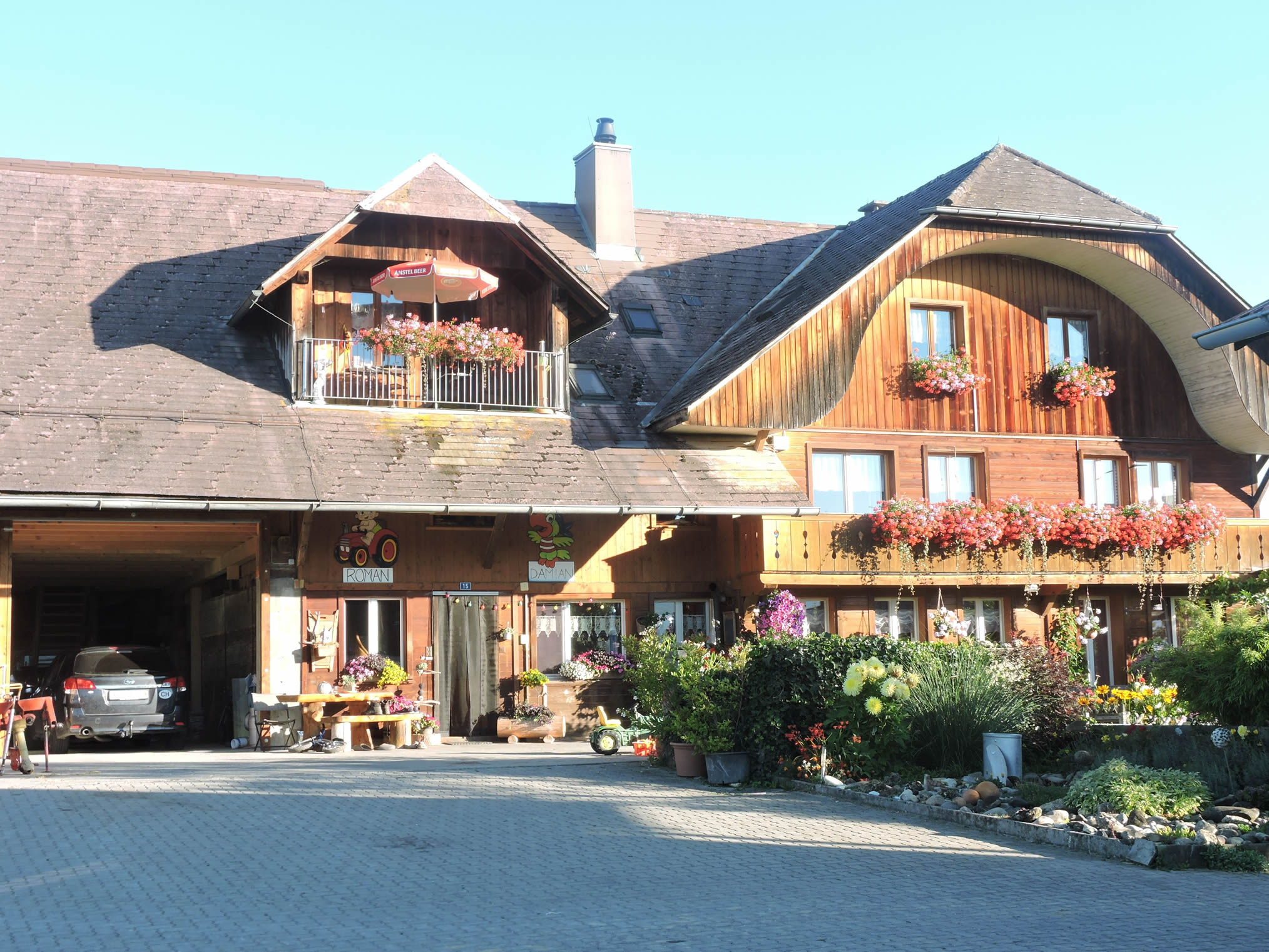
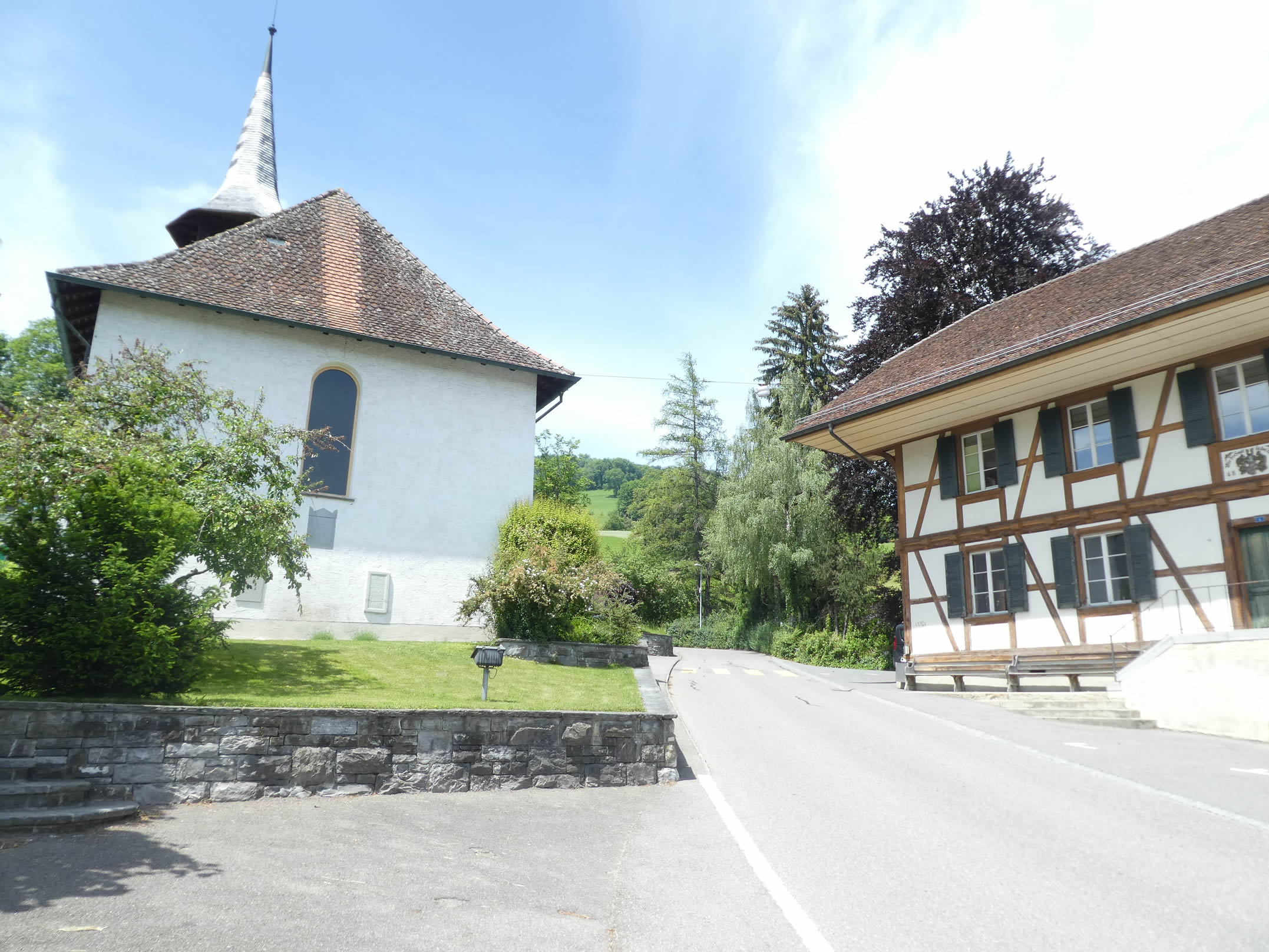
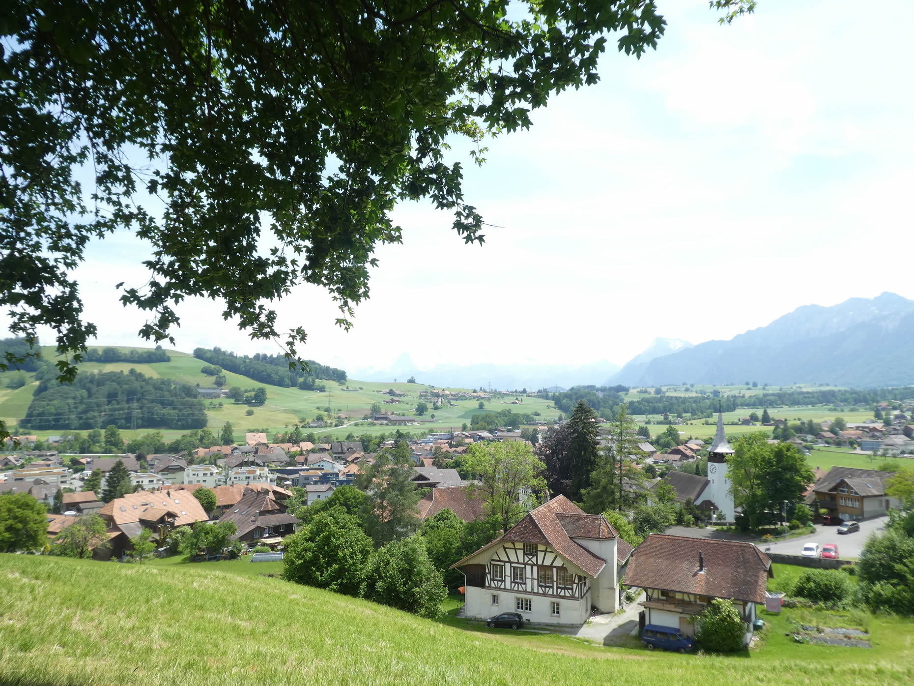
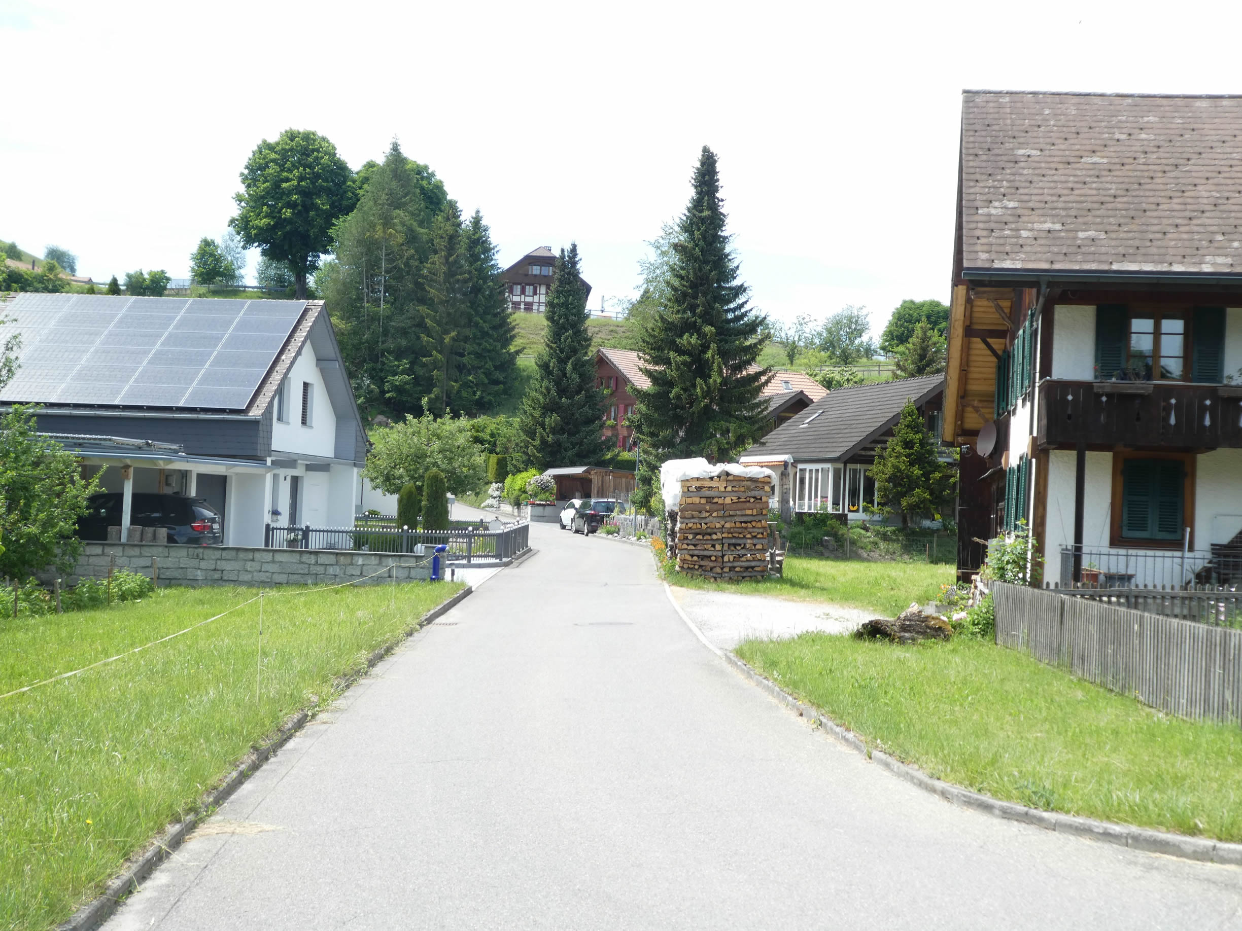
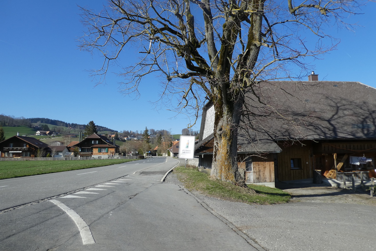
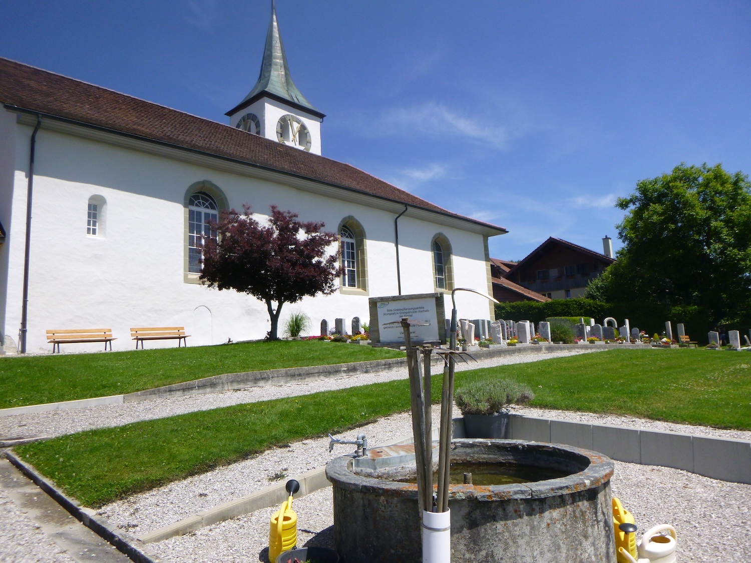
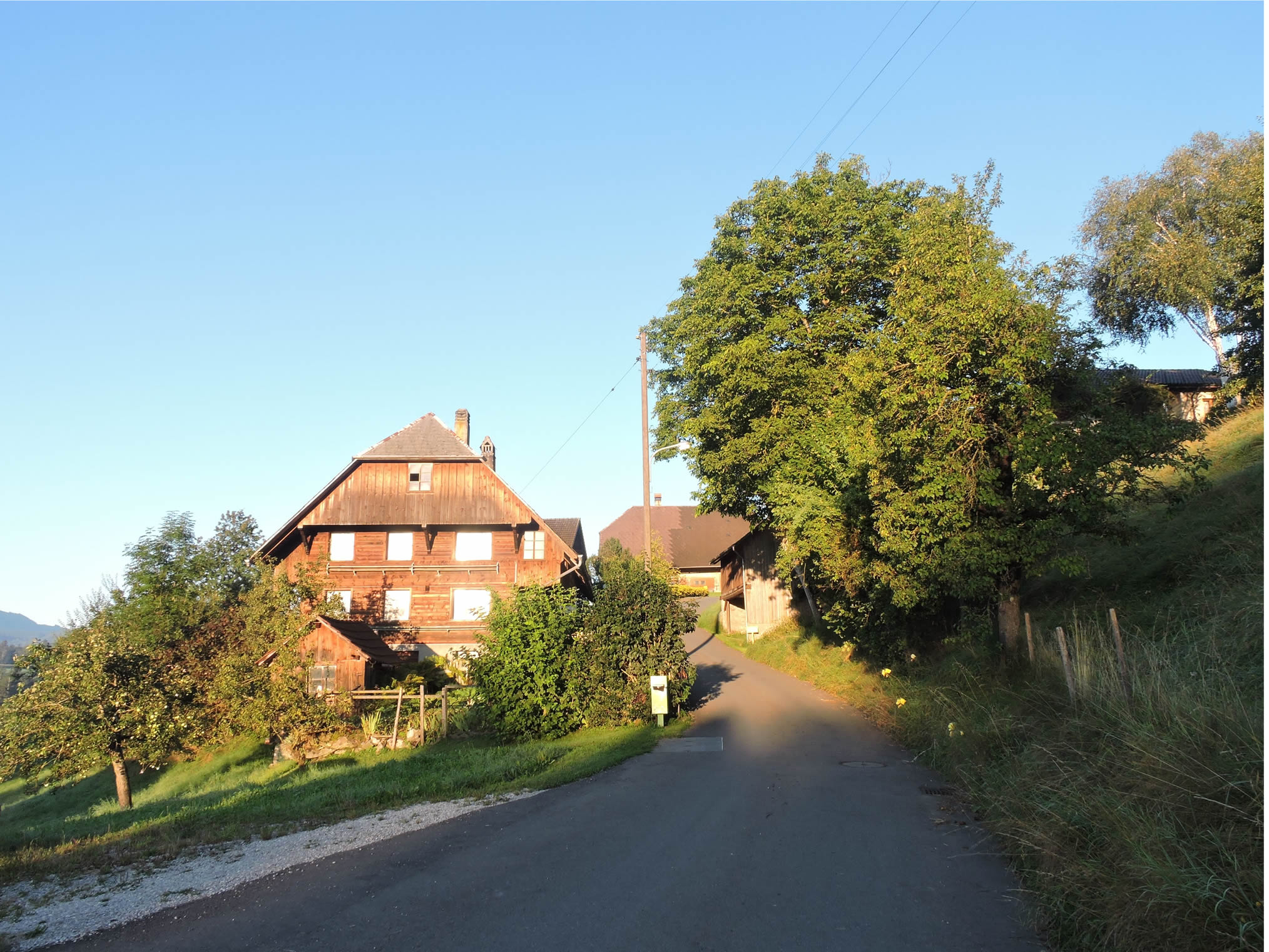
The Via Jacobi departs from Wattenwil at the heights of the small town near the temple. The new construction dates back to the late 17th century, with baptismal fonts and bells taken from the old building. The presbytery is housed in a former mansion, in a baroque style.
|
 |
 |
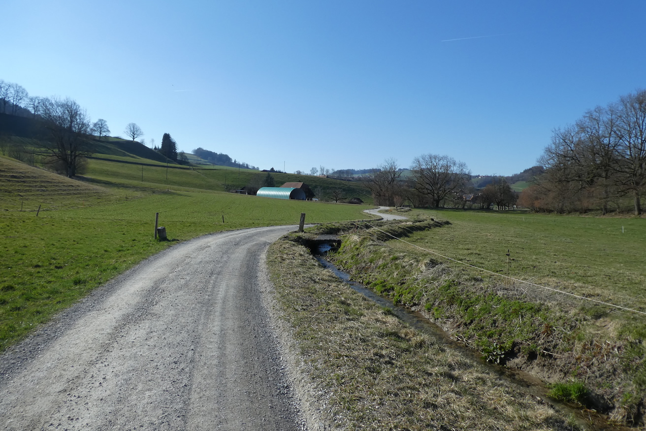
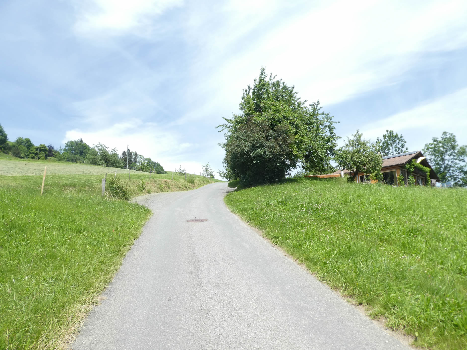
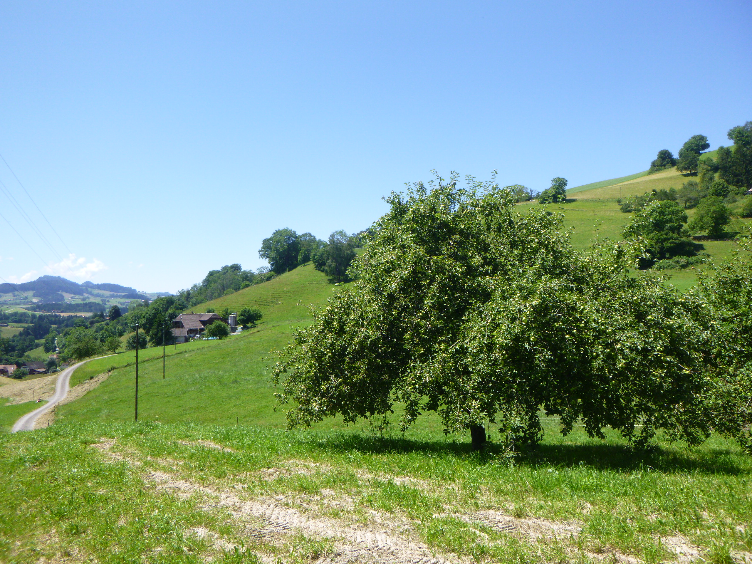
| A small road leads above the temple, crosses the Oeligraben stream, a tributary of the Gürbe, and climbs steeply through meadows and fruit trees. The crystalline murmur of water rushing over polished stones accompanies the footsteps of pilgrims. |
 |
 |
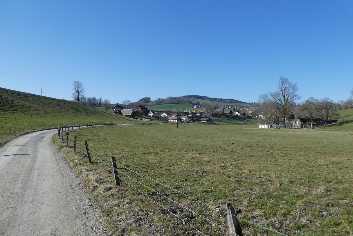
A beautiful view of the locality below quickly unfolds. The red tiled roofs stand out against the lush green backdrop of the valley, while the temple steeple silently watches over the place.
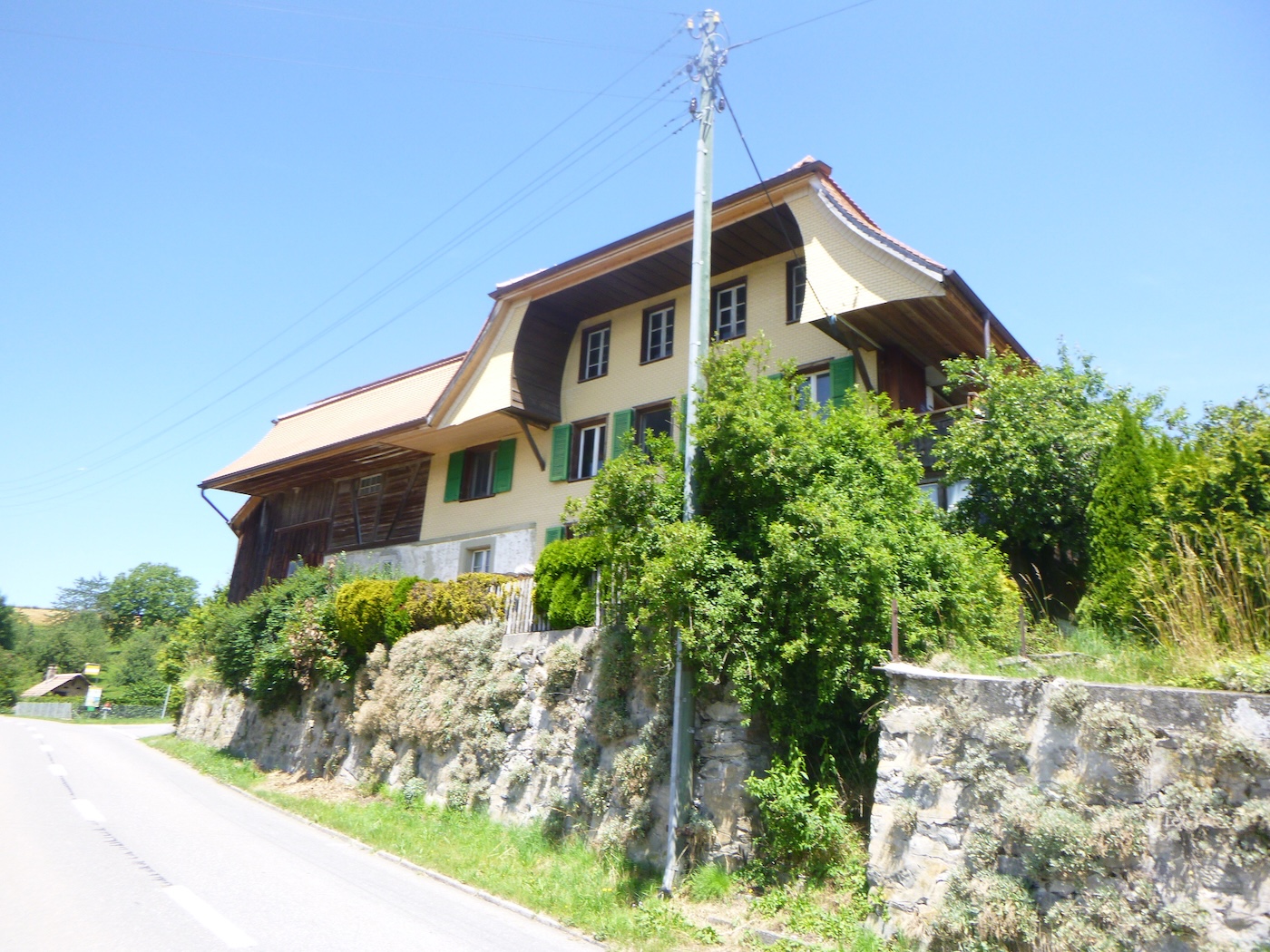
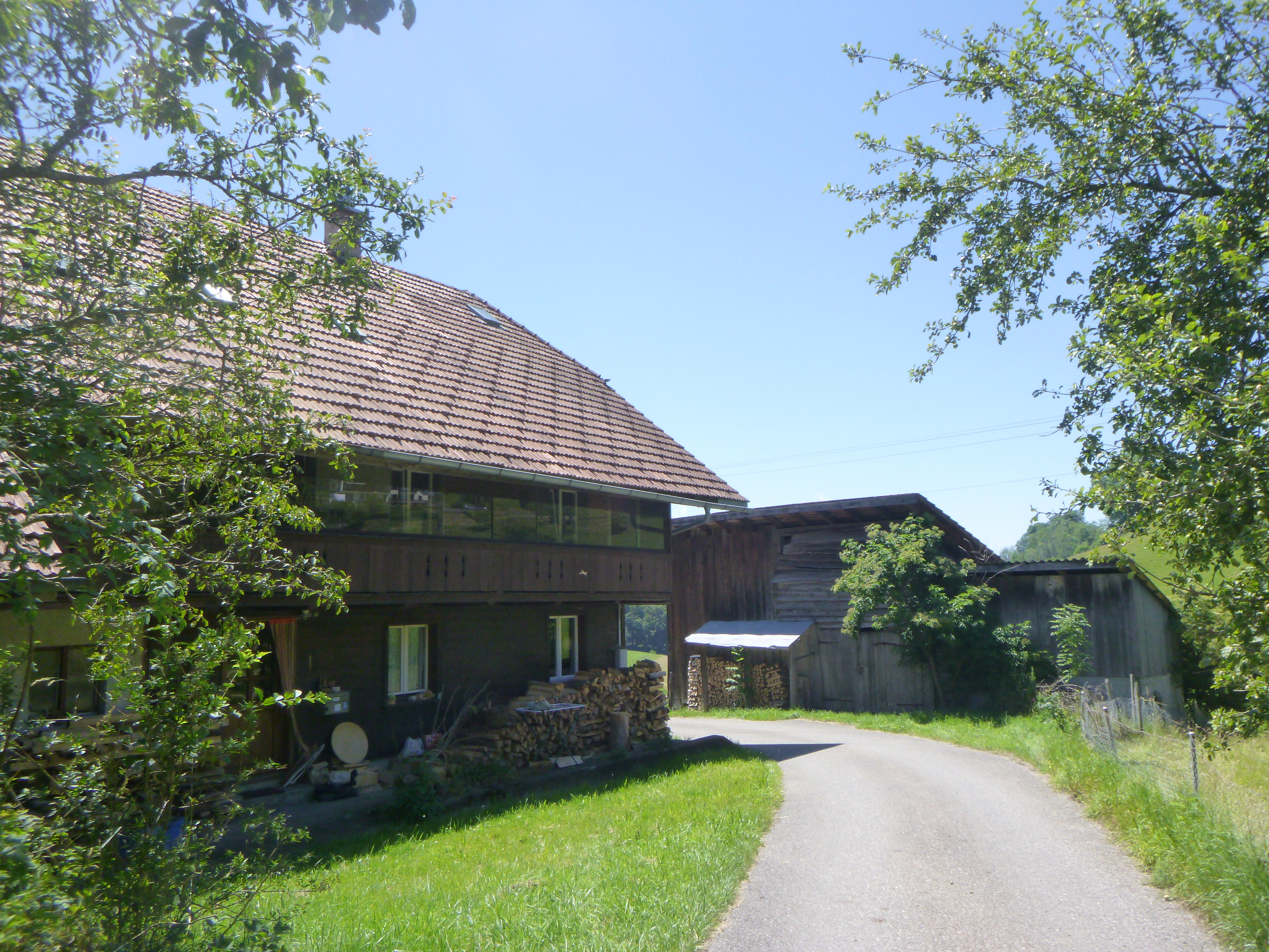
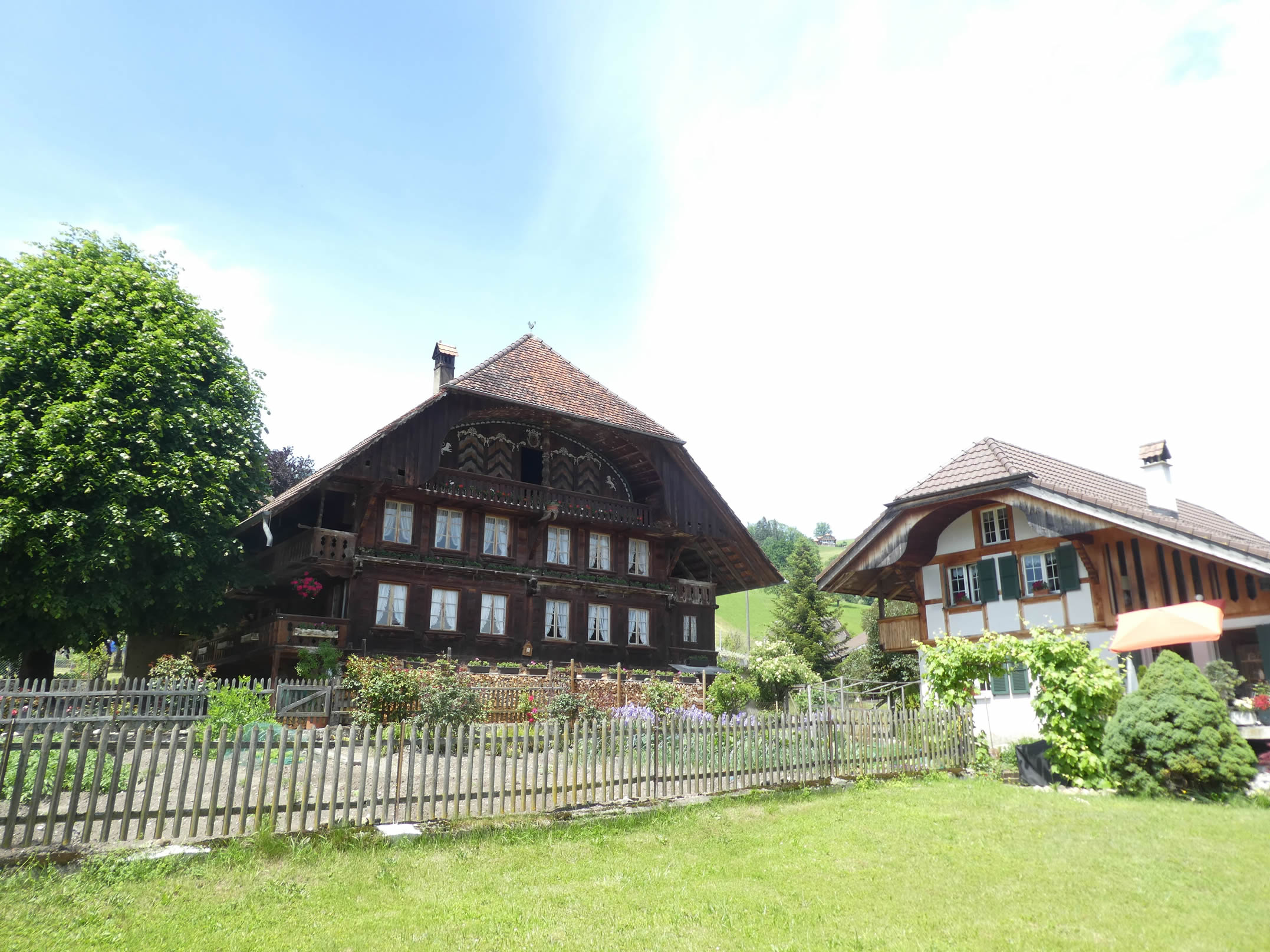
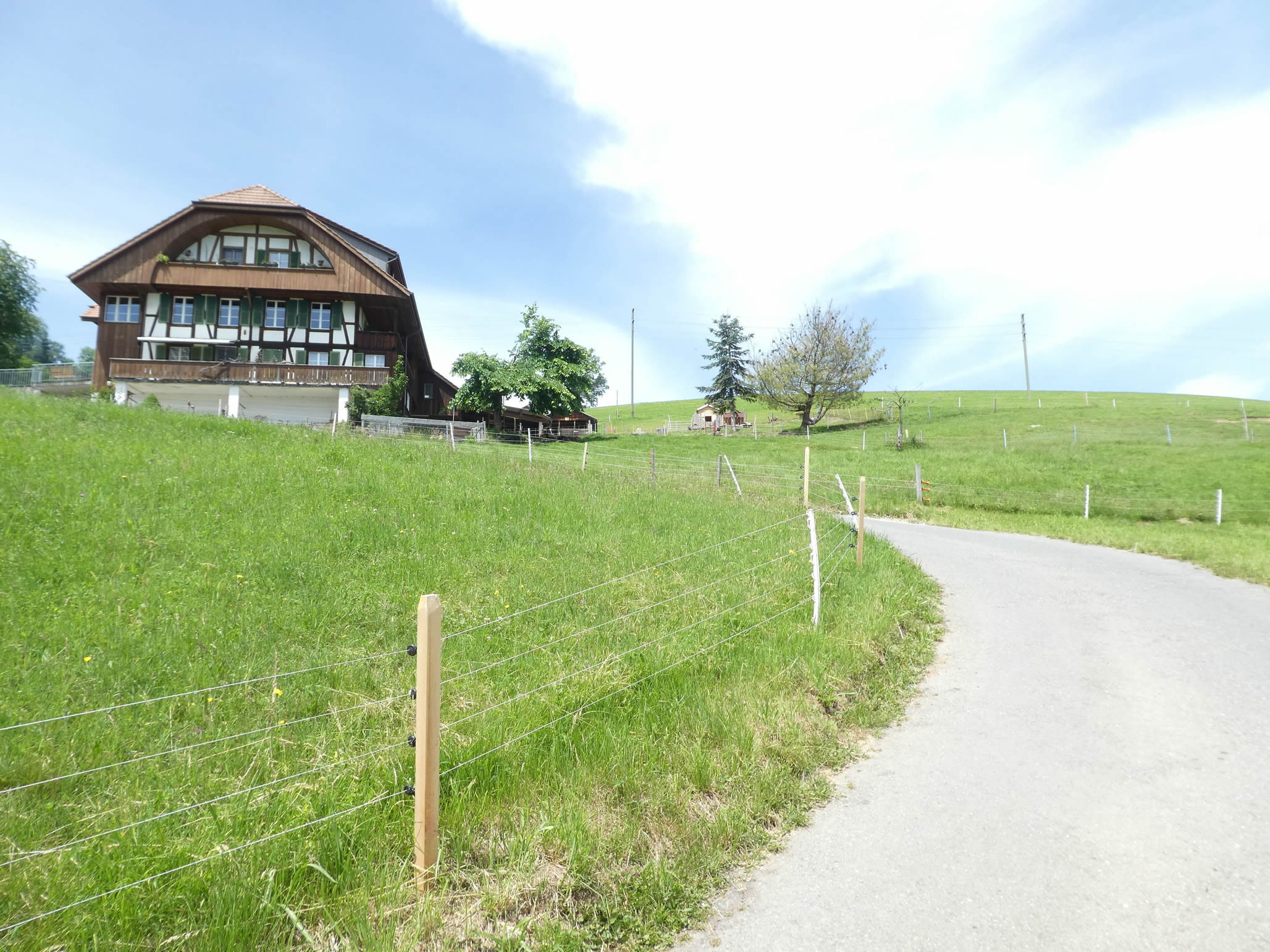
| The slope steepens rapidly, reaching nearly 10 to 15% gradient among the ash trees. On the steep slope, there are houses, whether they are farms or primary residences is uncertain. Wattenwil has also become a commuter village over time. The hillsides are adorned with a mosaic of lush meadows and shaded groves, where picturesque houses with colorful shutters hide. |
 |
 |
| Shortly after, the Via Jacobi takes a narrower road. Trees close in around the road, forming a canopy of greenery where sunlight plays hide-and-seek with rustling leaves. |
 |
 |
| Then the slope becomes even steeper, reaching nearly a 20% incline. Walkers struggle against gravity, their short breaths punctuating the mountain’s silence. |
 |
 |
| It’s even more challenging when rain drips from your forehead onto your pilgrim’s cloak, and drops bead on your face. |
 |
 |
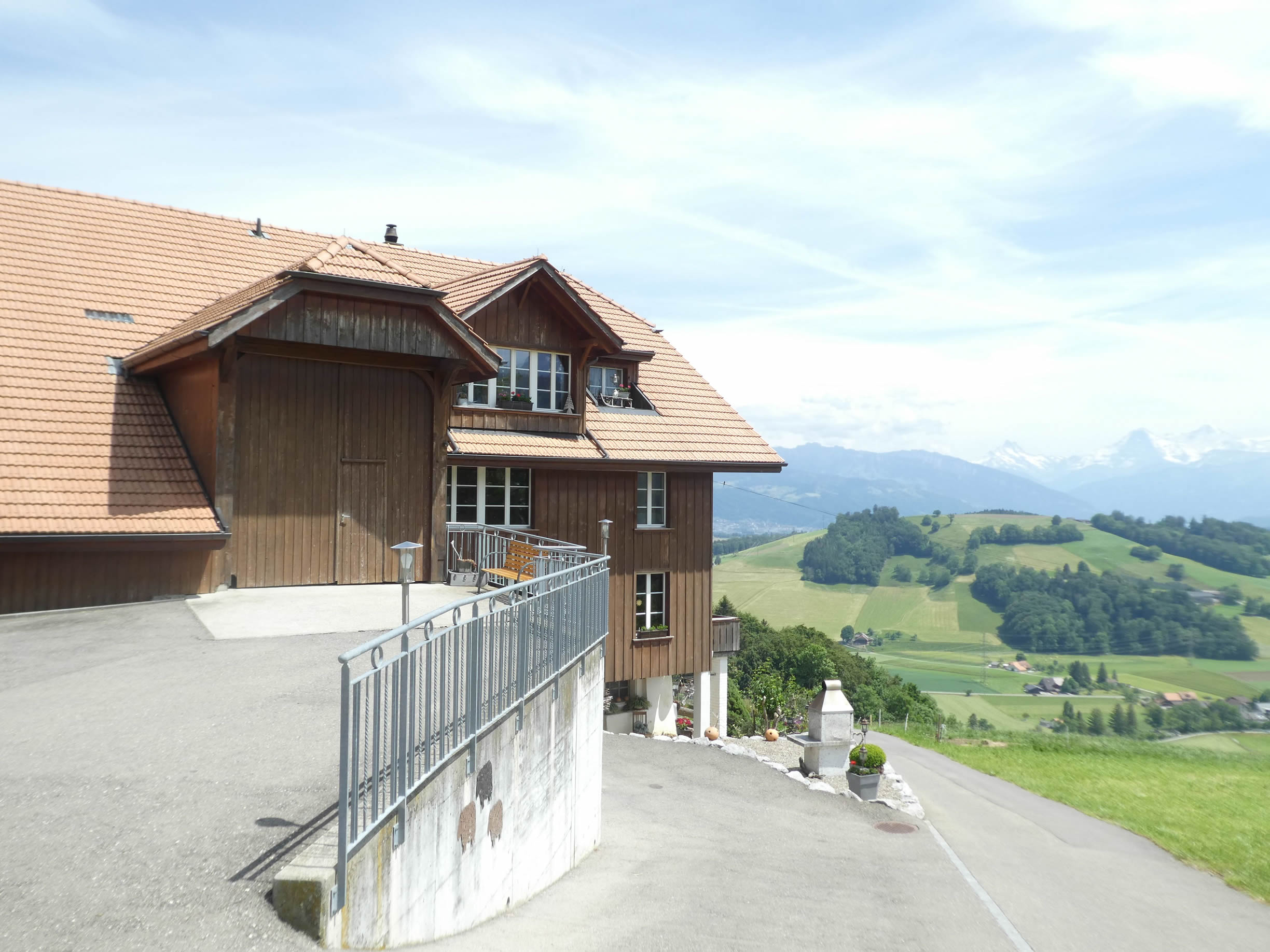
| One might think it’s better to have a 4X4 vehicle to live here in winter. The houses seem to cling to the mountainside, as if to defy the rigors of winter that descend upon these remote regions. |
 |
 |
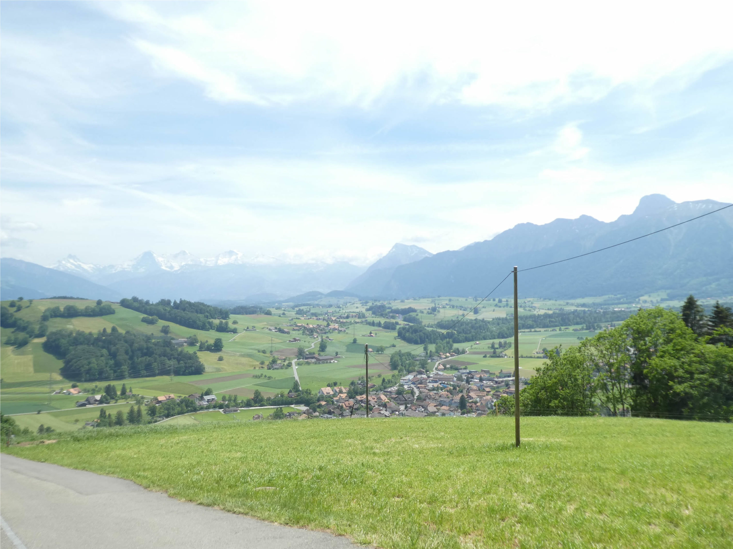
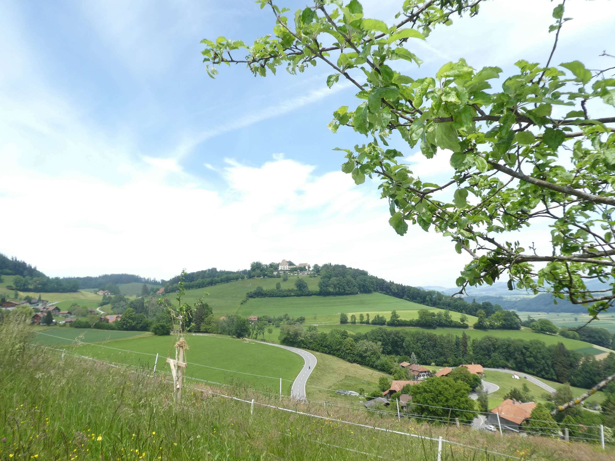
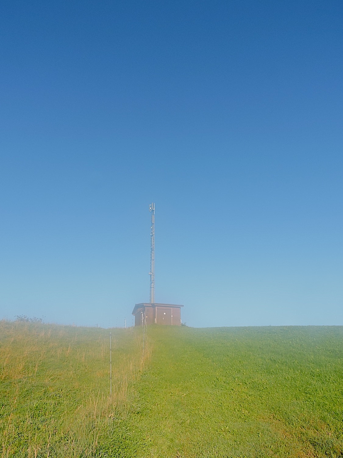
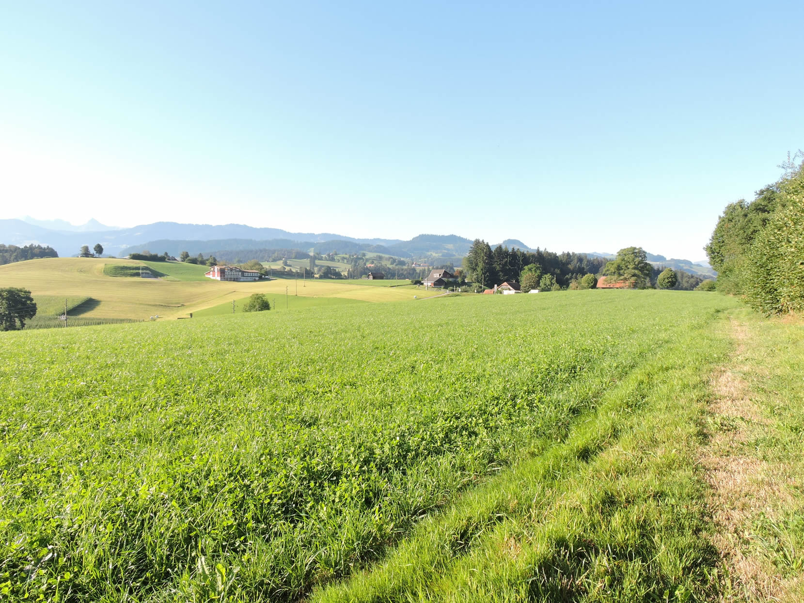
| Higher up, you reach the culmination of the day’s major effort and let out a sigh of relief. The summit reveals a breathtaking panorama, a well-deserved reward for those who dare to climb these steep slopes. |
 |
 |
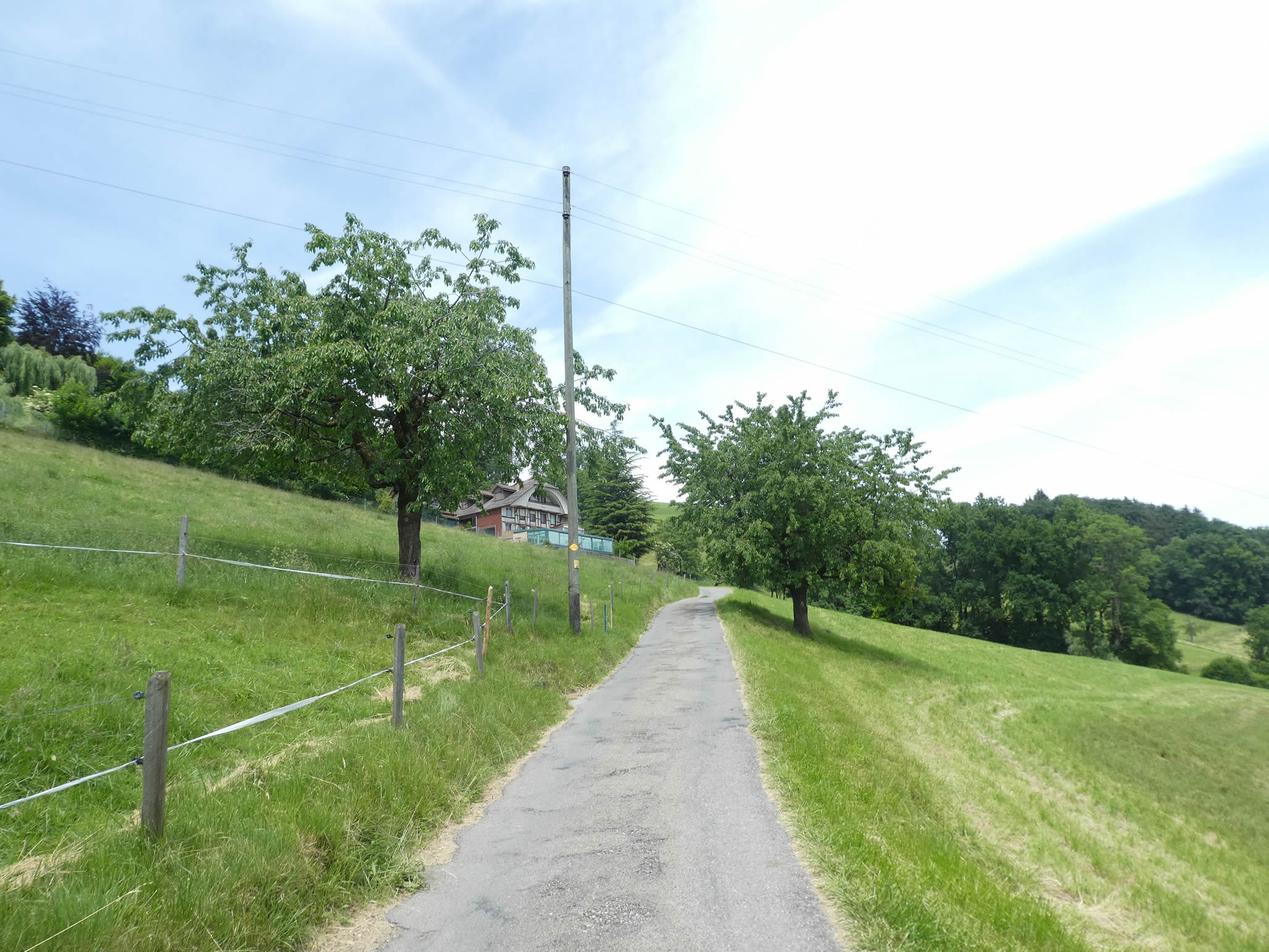
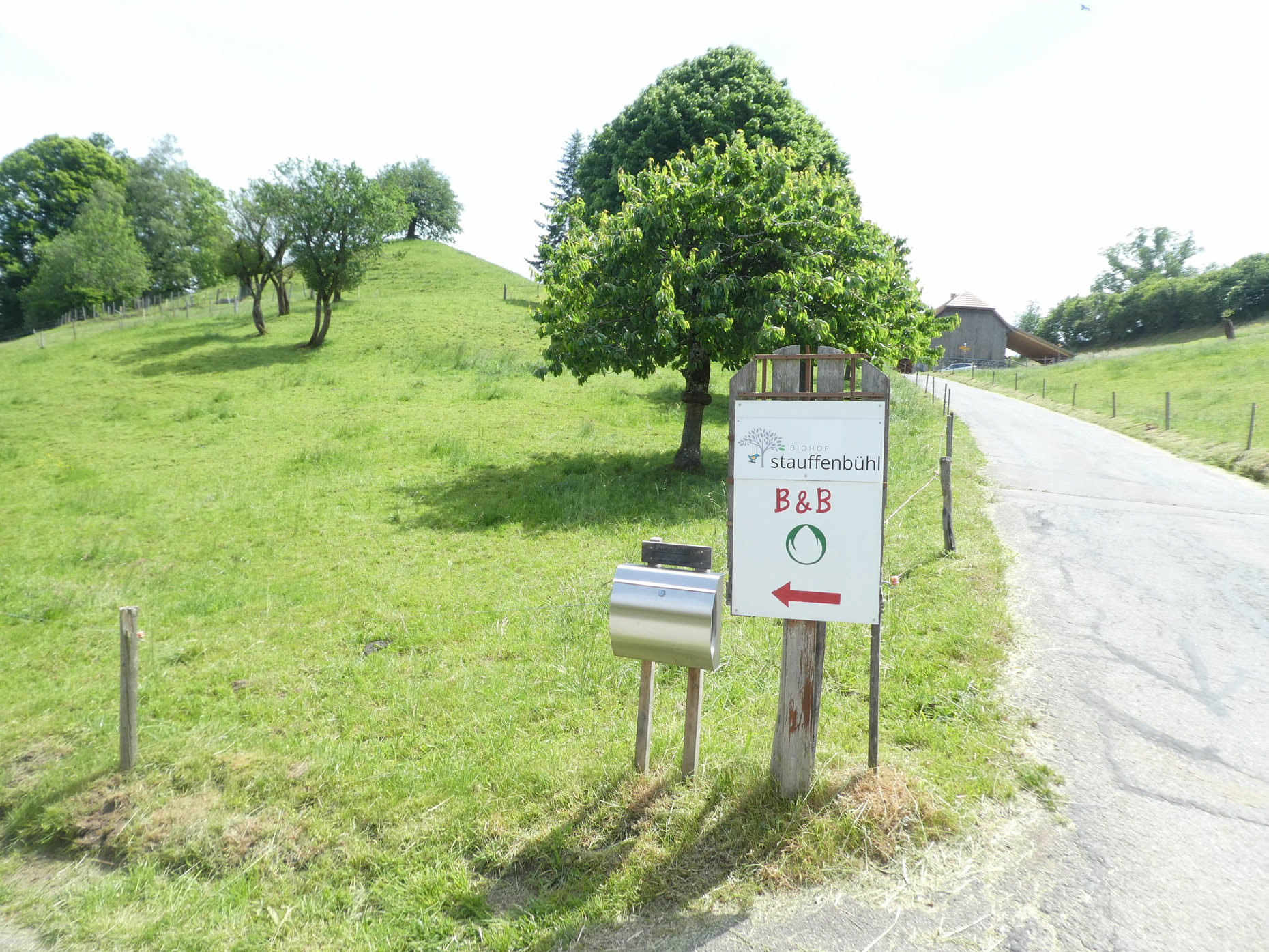
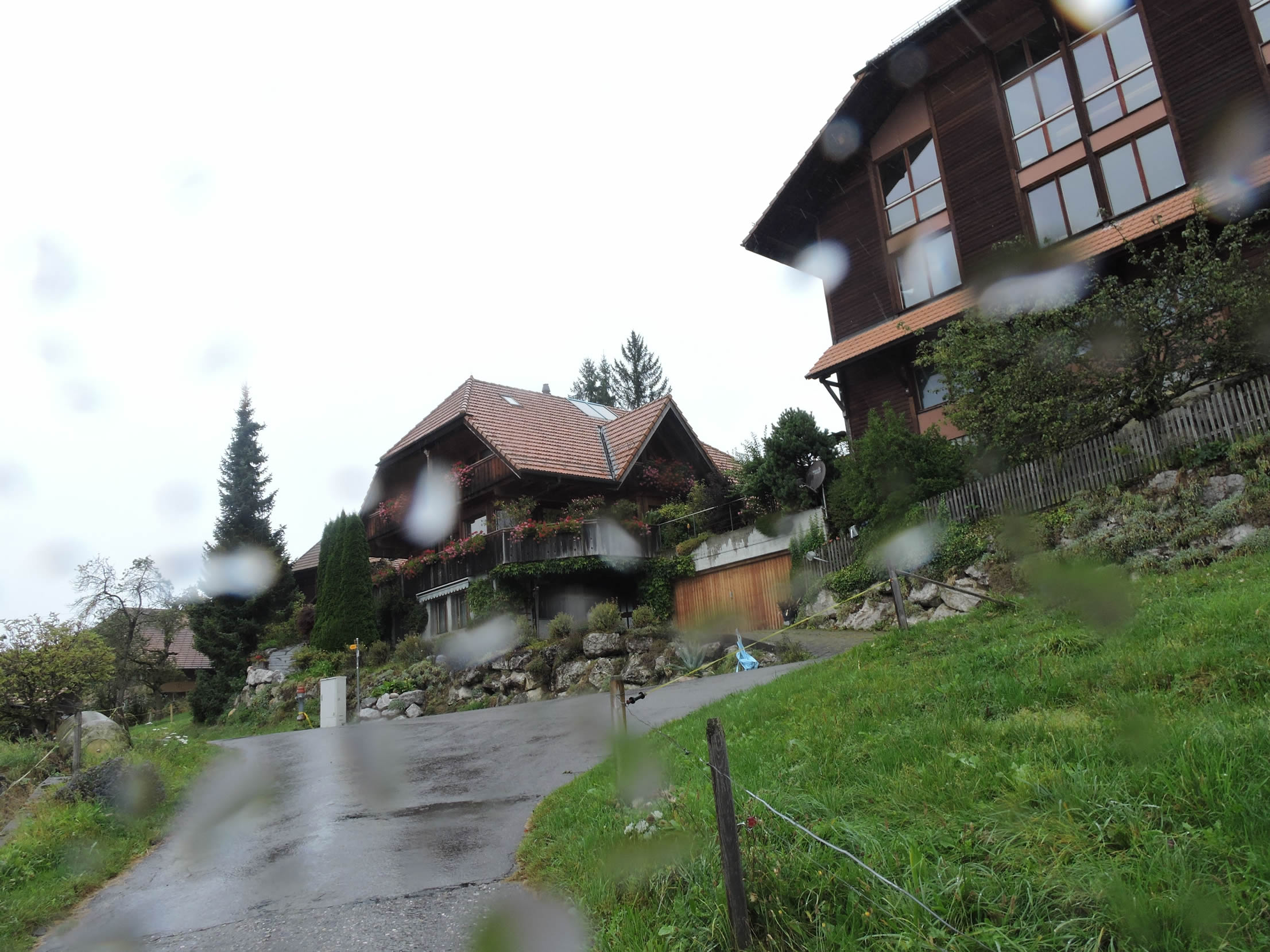
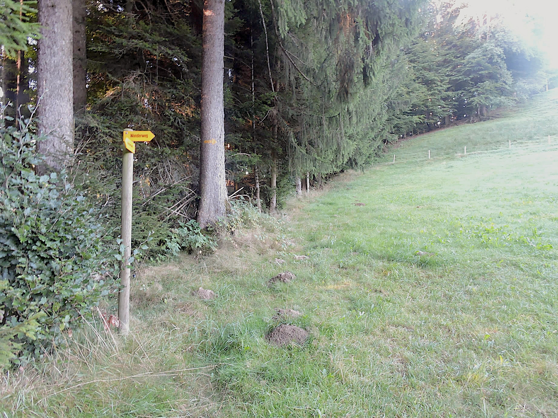
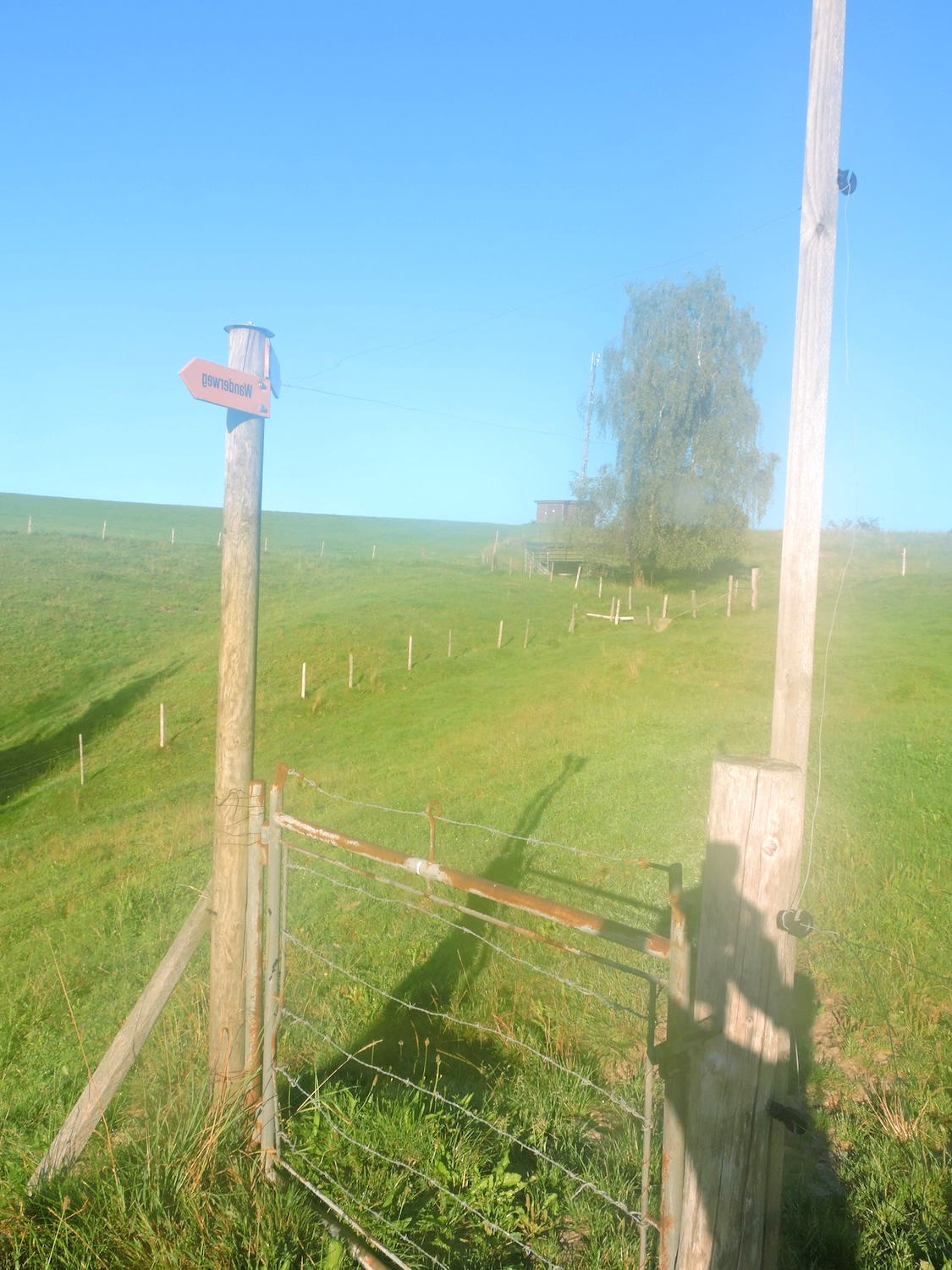
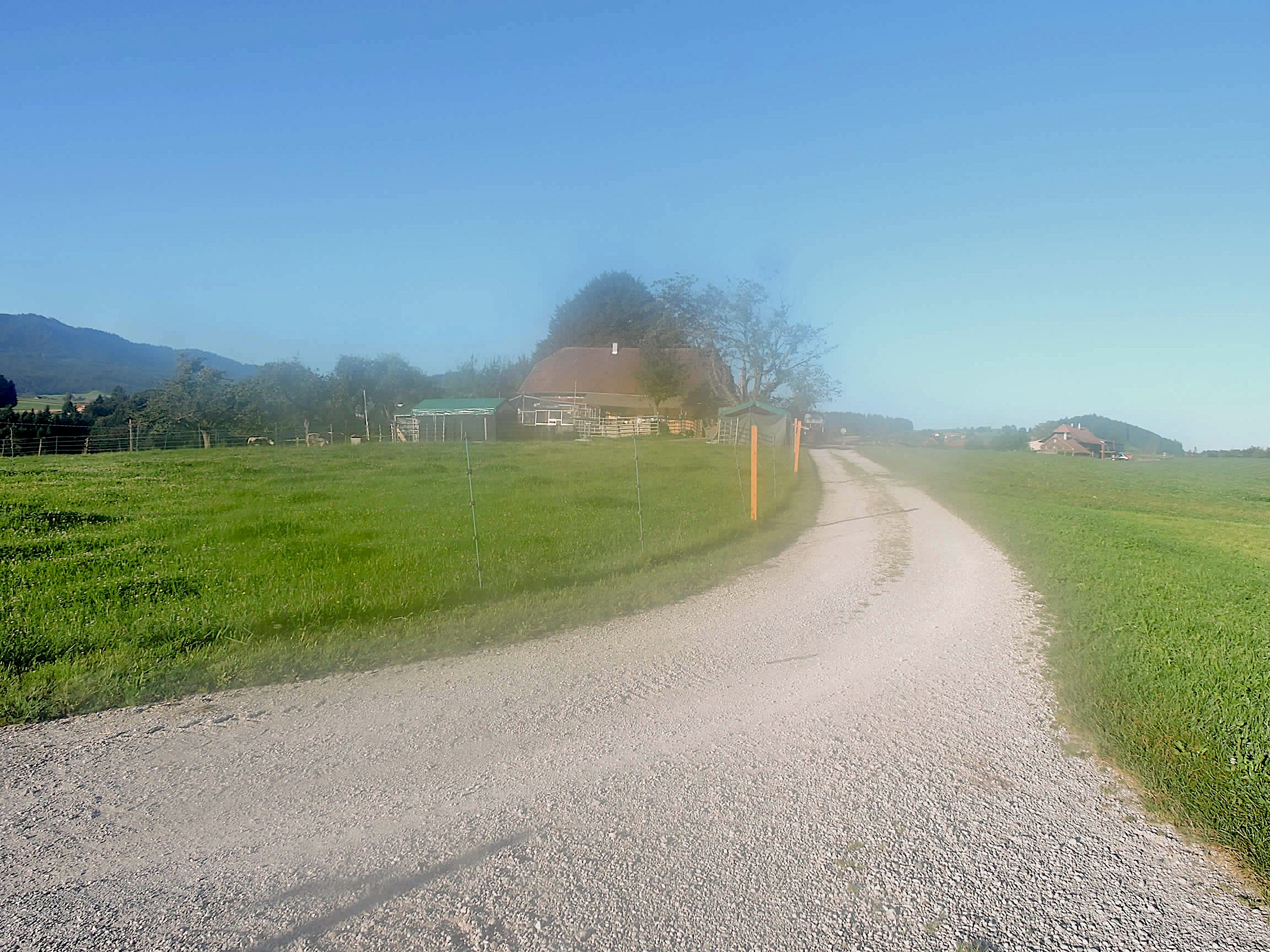
| In this stage, pay close attention to the signs! There are misleading signs that can lead you astray. There is only one correct direction, indicated by the Via Jacobi 4, framed in blue, in the forward direction. Here also begins a path leading to the Stauffenbühl B&B, a welcome sight for those who haven’t found accommodation in Wattenwil. |
 |
 |
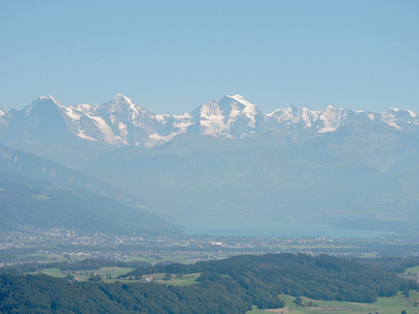
Turning back towards the valley, you have the privilege of seeing the giants of the Bernese Alps in front of you: the Eiger, the Mönch, the Jungfrau, and the Finsteraarhorn. The snow-capped peaks stand majestically on the horizon, like sentinels watching over the sleeping valleys. Whether in fine weather or in a light, ghostly fog, it’s pure bliss.
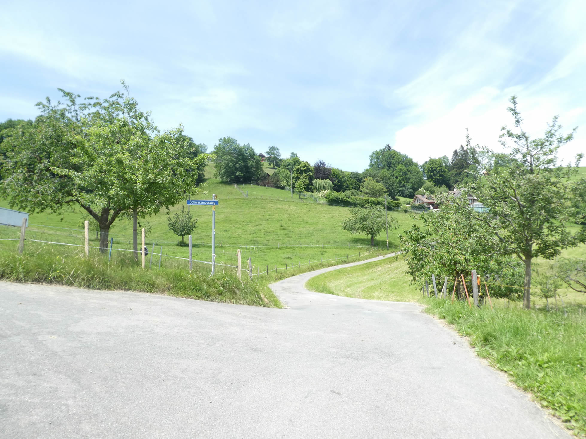
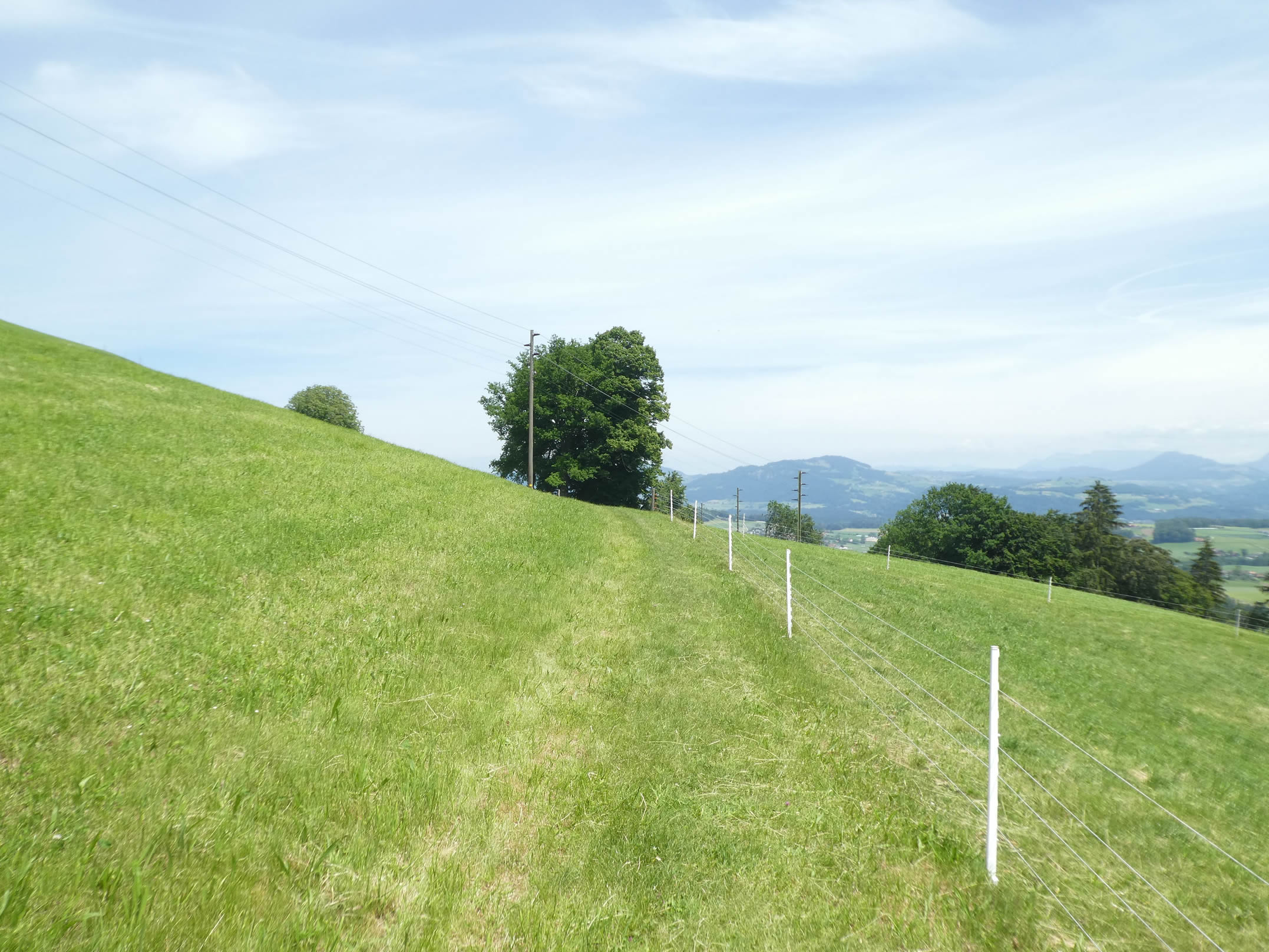
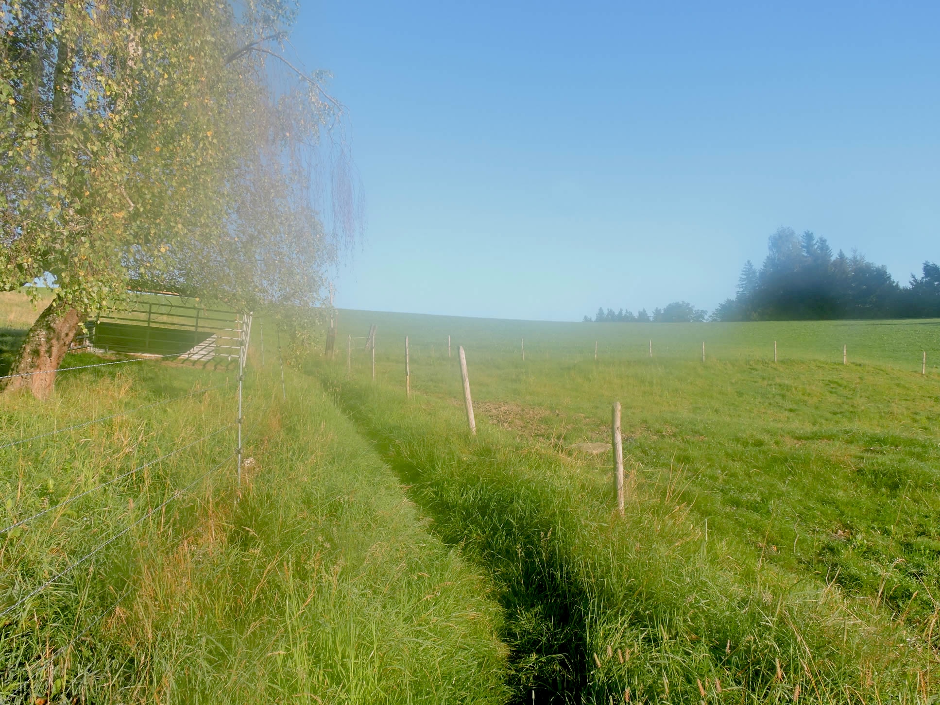
| The Via Jacobi then meanders through the grass on the hillside. A trail winds among tufts of wild grass, offering walkers intimacy with the untamed nature bordering the path. |
 |
 |
| Shortly after, the dirt replaces the grass amidst meadows and fruit trees. The ground crackles underfoot, releasing an earthy scent that perfumes the alpine air. |
 |
 |
Ahead, on the other side of the valley, stands Burgistein Castle, under which the Via Jacobi runs. There, stone walls stand proudly, silent witnesses to an ancestral history inscribed in the stones.
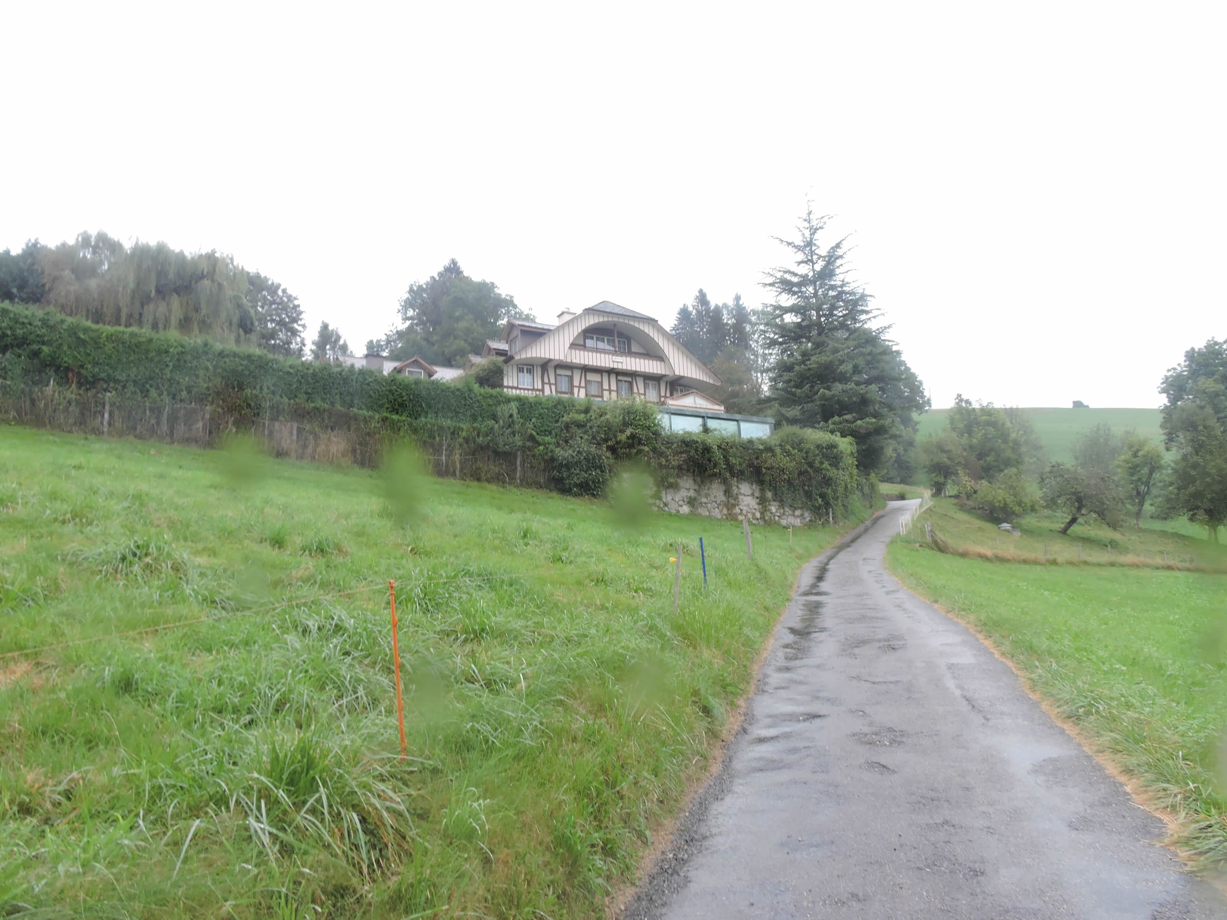
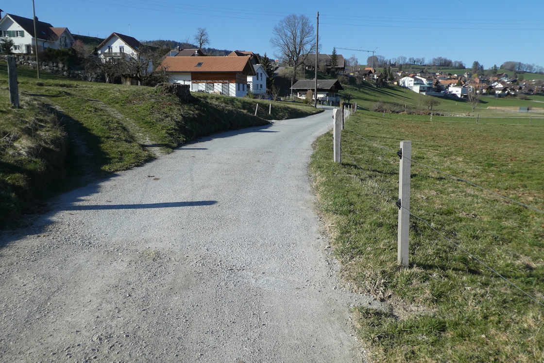
| A short while later, the tar replaces the dirt road, and the road begins to descend slightly. Here, the direction to Stauffenbühl B&B is indicated, just a short distance away. The landscape opens up to vast green expanses—calm, restful, and without mystery. |
 |
 |
| The entire hillside here is covered with beautiful, well-kept houses, most of them adorned with flowers. The direction is always towards Burgistein Dorf. Gradually, you approach the castle. The houses, like jewels set in the landscape, seem to watch over these blessed lands. |
 |
 |
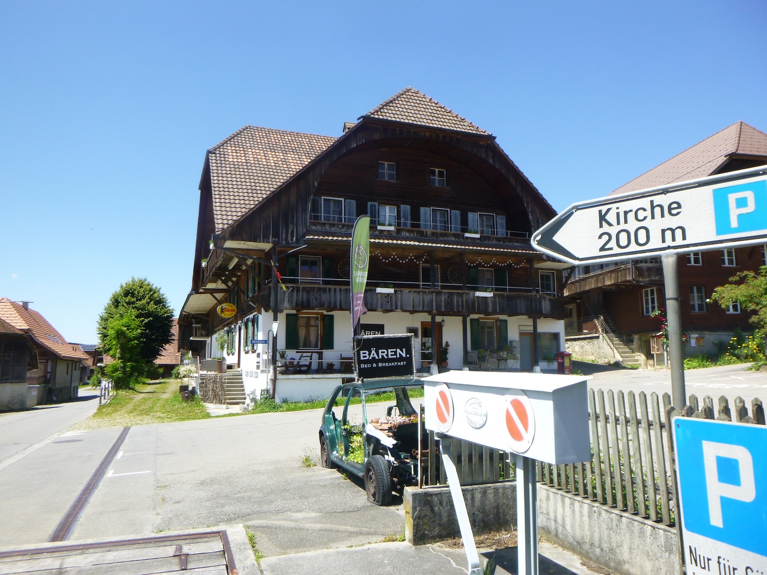
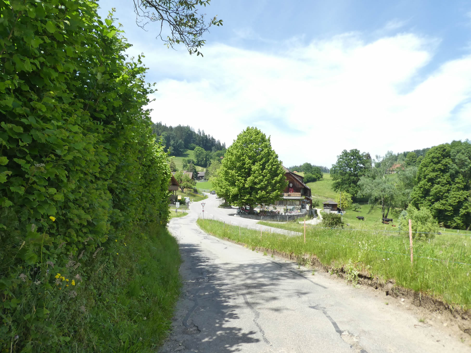
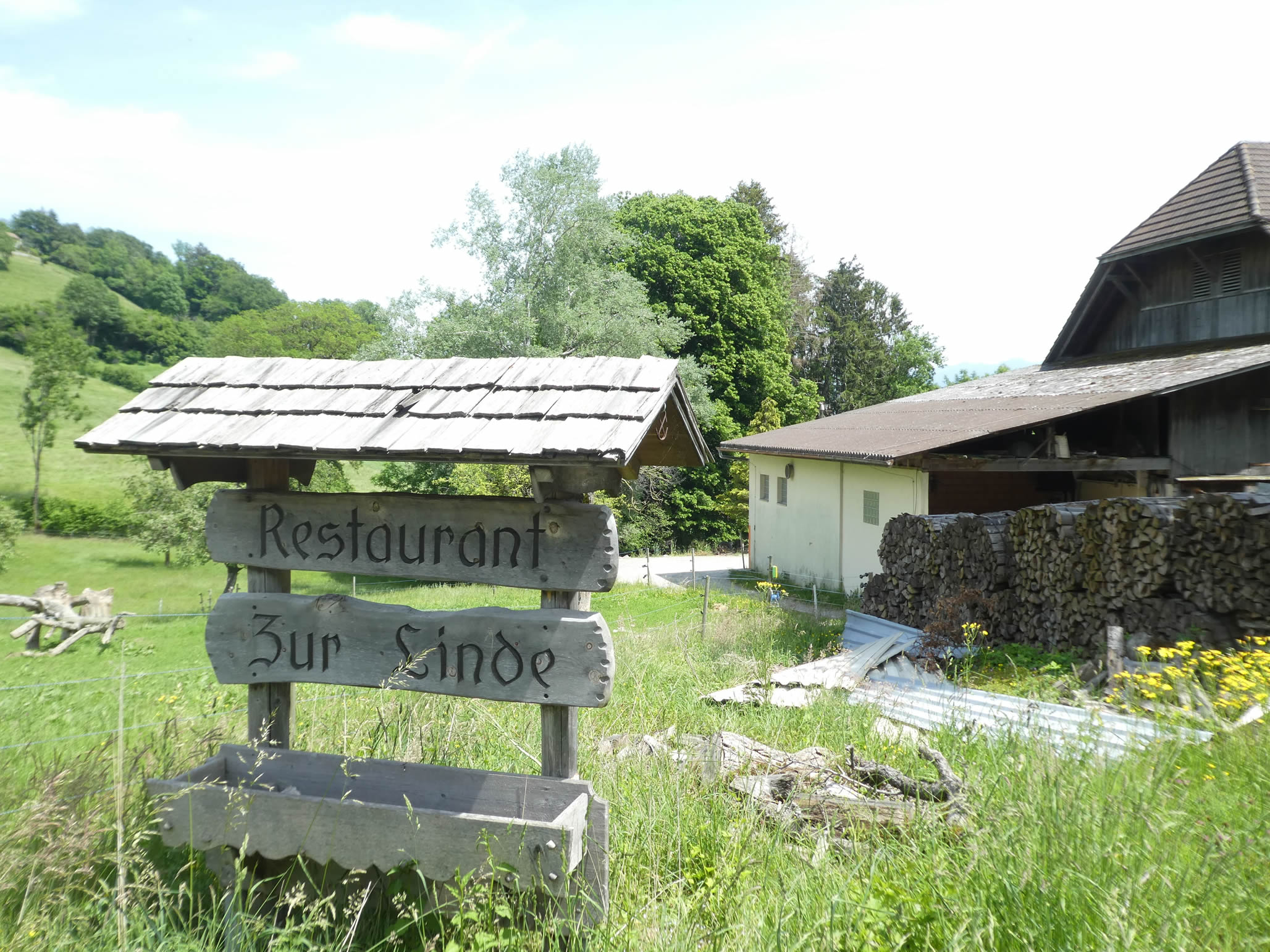
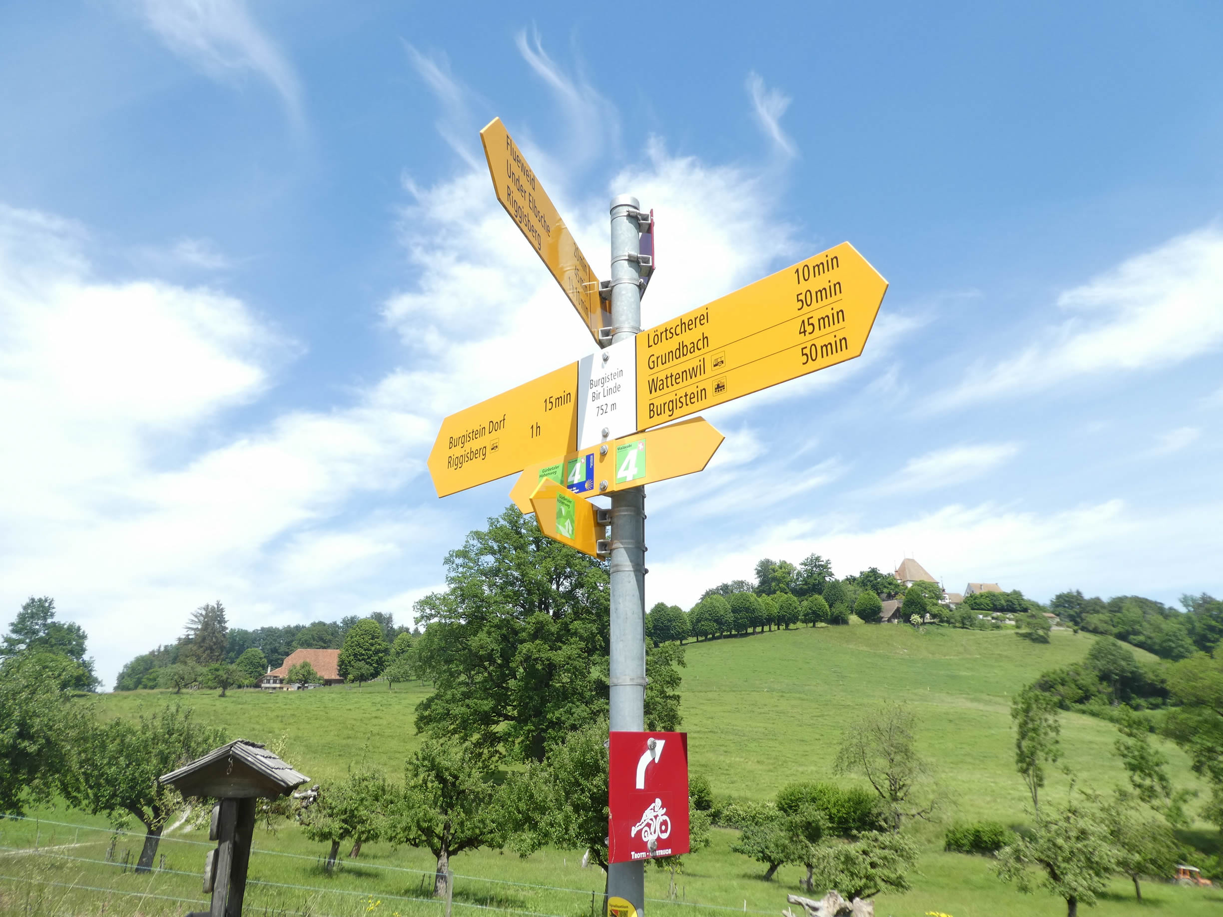
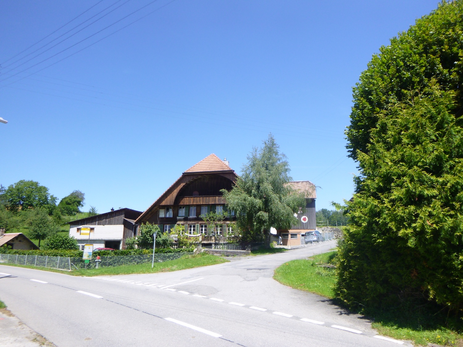
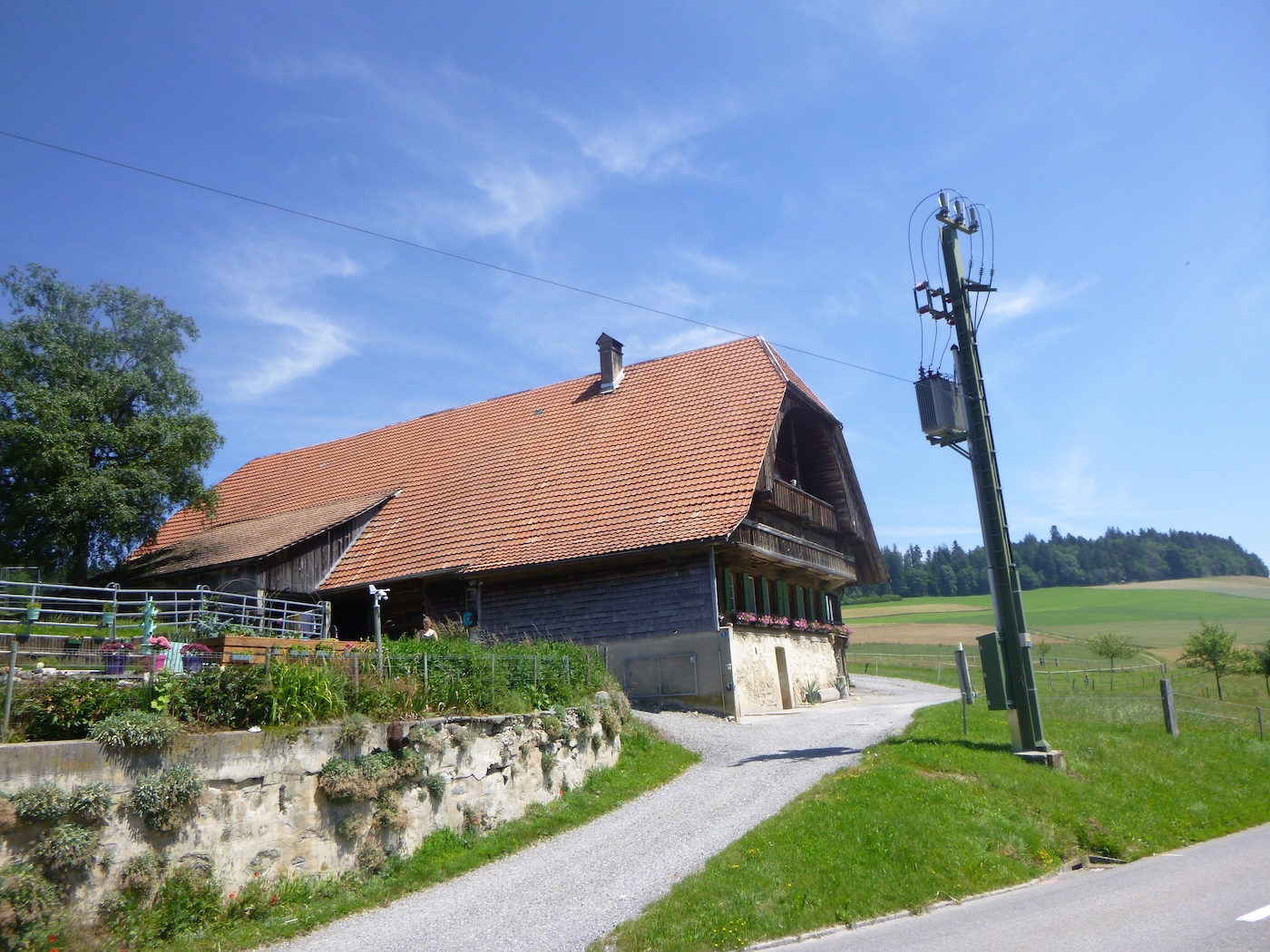
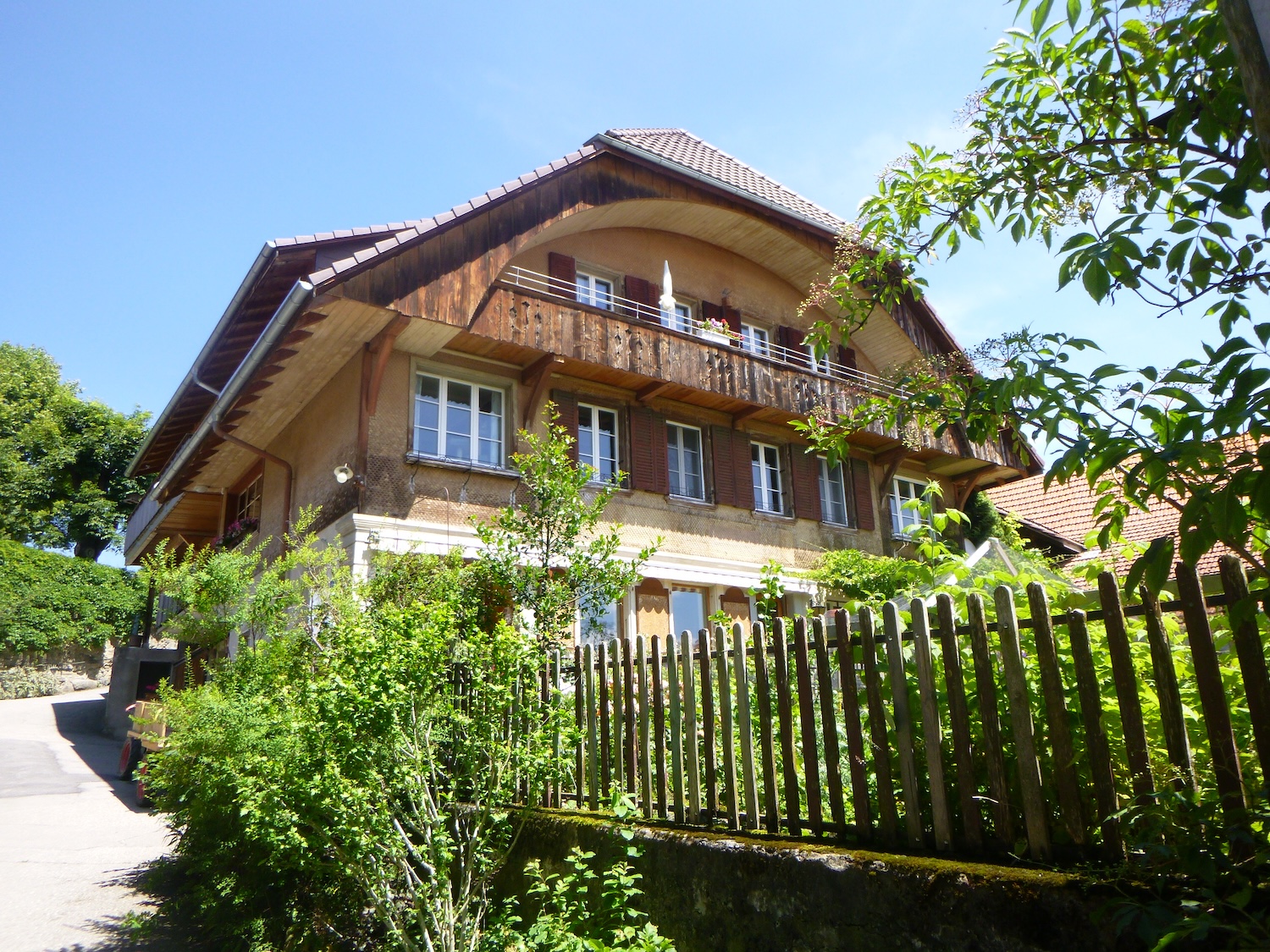
| The Via Jacobi then descends along the houses to reach the Bugisteinstrasse, the road that leads to Riggisberg at Burgistein Bir Linde, where there is a restaurant under the lime trees, as the name suggests. Here, the houses resemble more urban dwellings than farms, but their essence still exudes venerable age through the dark wood weathered by the years. They stand with elegance, their facades depicting forgotten tales, their windows, with worn shutters, seeming to guard the secrets of the past with timeless dignity. |
 |
 |
| Here, the Via Jacobi will take a wide dirt path that climbs fairly steeply towards the castle and Burgistein Dorf. It meanders through meadows, gracefully stretching between green expanses, while scattered groves stand as discreet guardians of the surrounding nature. |
 |
 |
| The path, almost parallel to the road, avoids the castle. The contours of the castle blend into the landscape, like a mirage emerging from the morning mist, inviting travelers to unravel its mysteries. |
 |
 |
| The ascent is brief, and the path descends to reach the road at the entrance to Burgstein Dorf, also known as Weier on maps. |
 |
 |
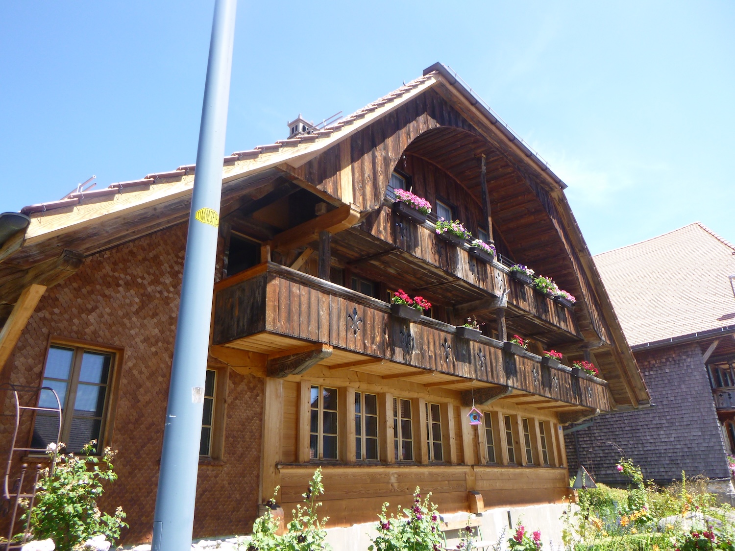
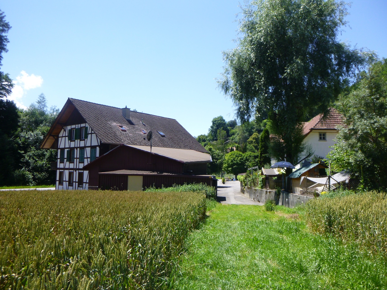
| In the heart of this tranquil valley, the village is delicately poised on the edge of a pond of ambiguous beauty, its waters reflecting the ambient tranquility, creating an enchanting backdrop for this small hamlet. The narrow streets invite leisurely strolls, revealing new architectural treasures at every turn. The wooden houses, with their ancestral charm, stand proudly, their facades adorned with delicate details evoking a bygone era. Each house seems to tell its own story, with its faded shutters, doors carved by time, and frozen windows. Yet, amidst this antique backdrop, newer constructions also emerge, witnesses to constant evolution. Their clean lines and contemporary materials bring a touch of modernity while respecting the architectural harmony of this preserved place. |
 |
 |
 |
 |
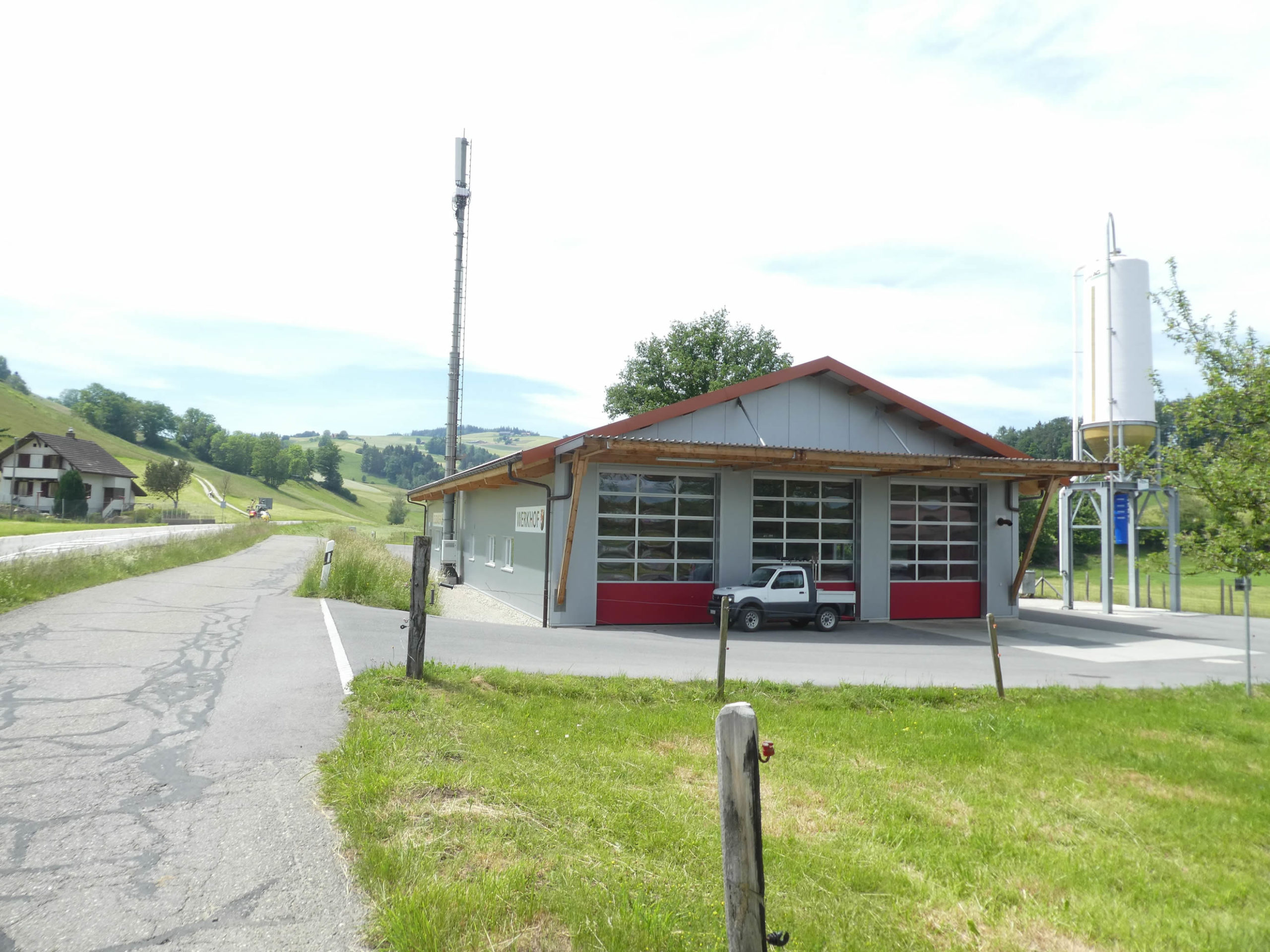
| The Via Jacobi exits the village, travels about a hundred meters along a rocky slope, and meets the Burgisteinstrasse, the road that leads to Riggisberg at the firefighters’ station. However, the Via Jacobi does not follow the road. It descends onto a small country road parallel to the main road. It’s always good to get away from the hustle and bustle of the main road, to find a welcome escape from the turmoil of modern civilization. |
 |
 |
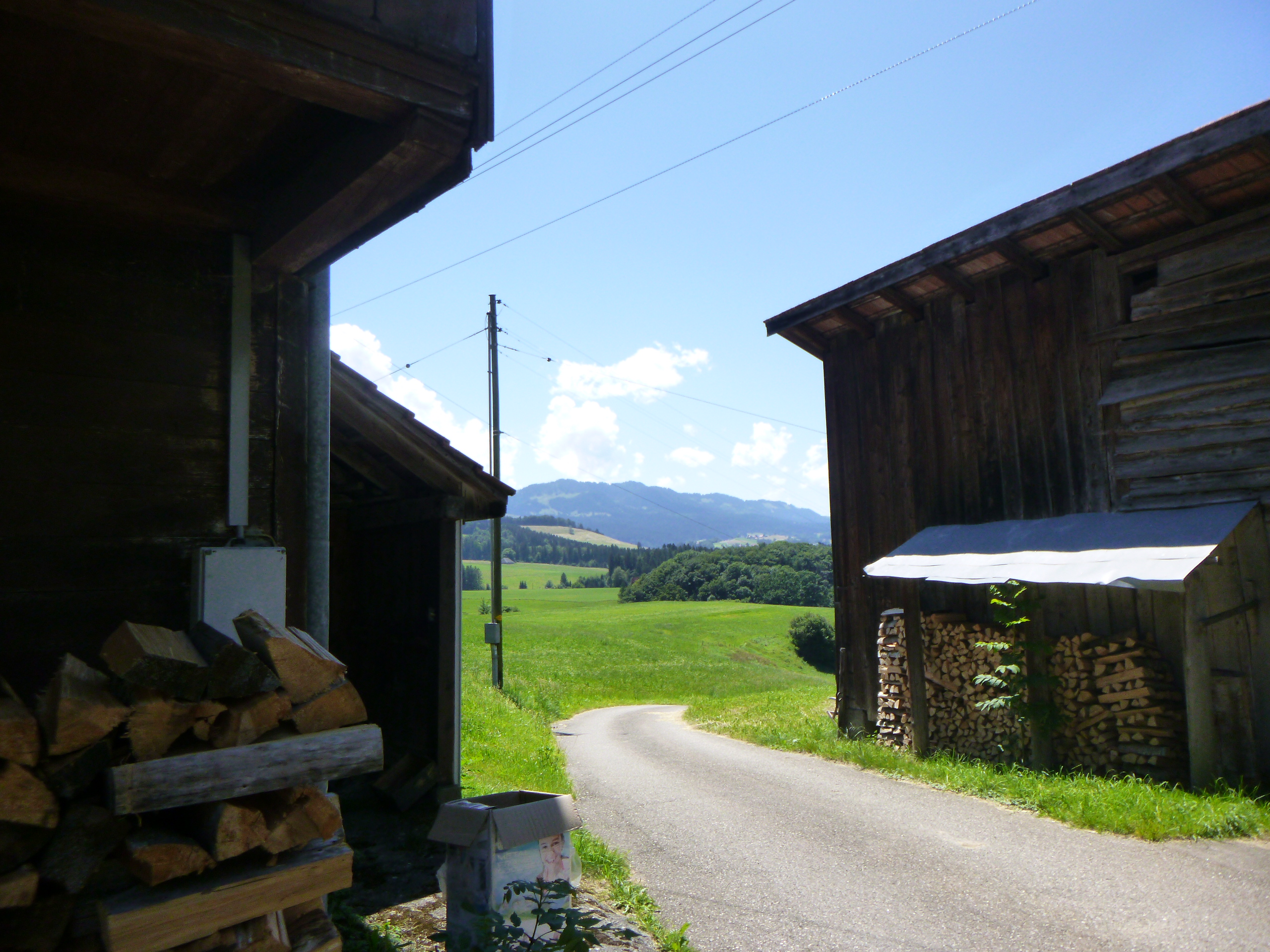
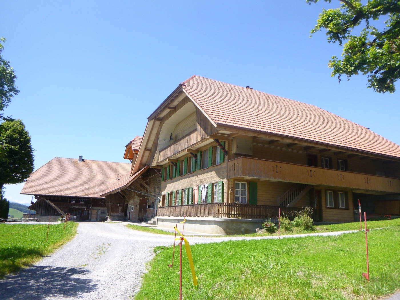
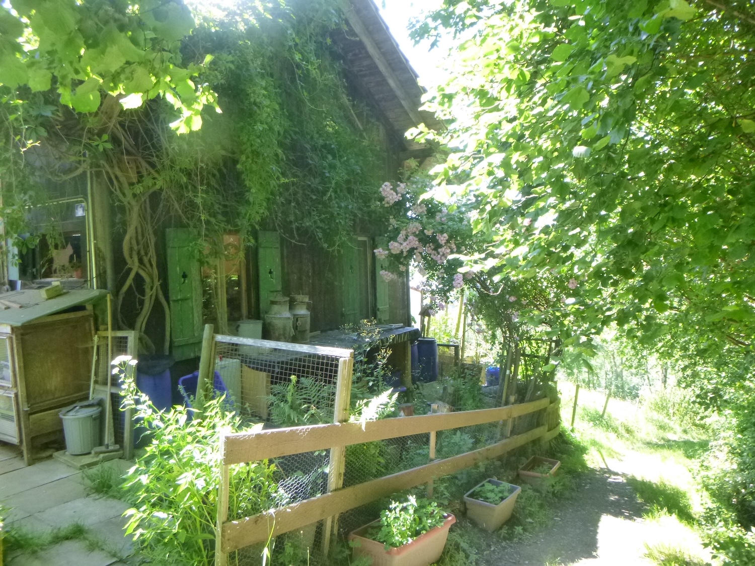
| There are again very beautiful farms along the route, some even built quite recently. There are probably also some residences not inhabited by local farmers. What is quite surprising in the canton of Bern is that manure heaps are rarely seen by the roadside, as they are in the canton of Fribourg. Farms, symbols of traditional agriculture, always remain in the canton of Bern a symbol of man living in harmony with the land. |
 |
 |
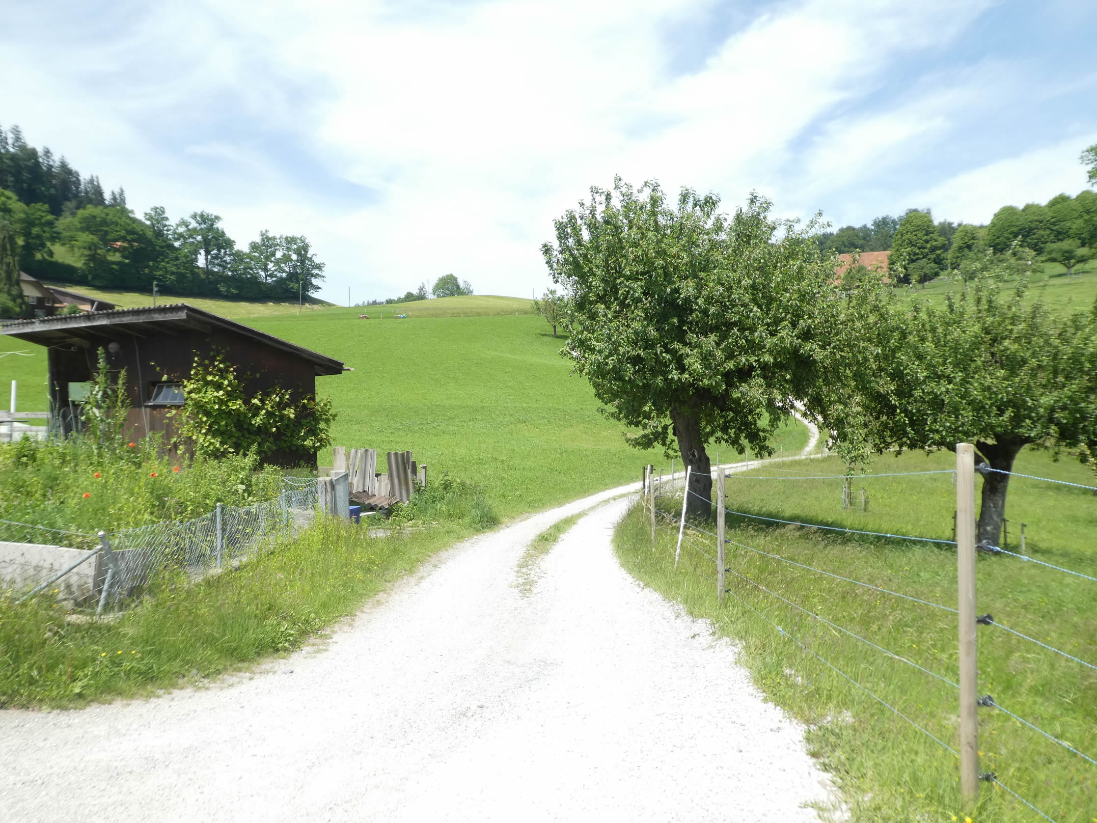
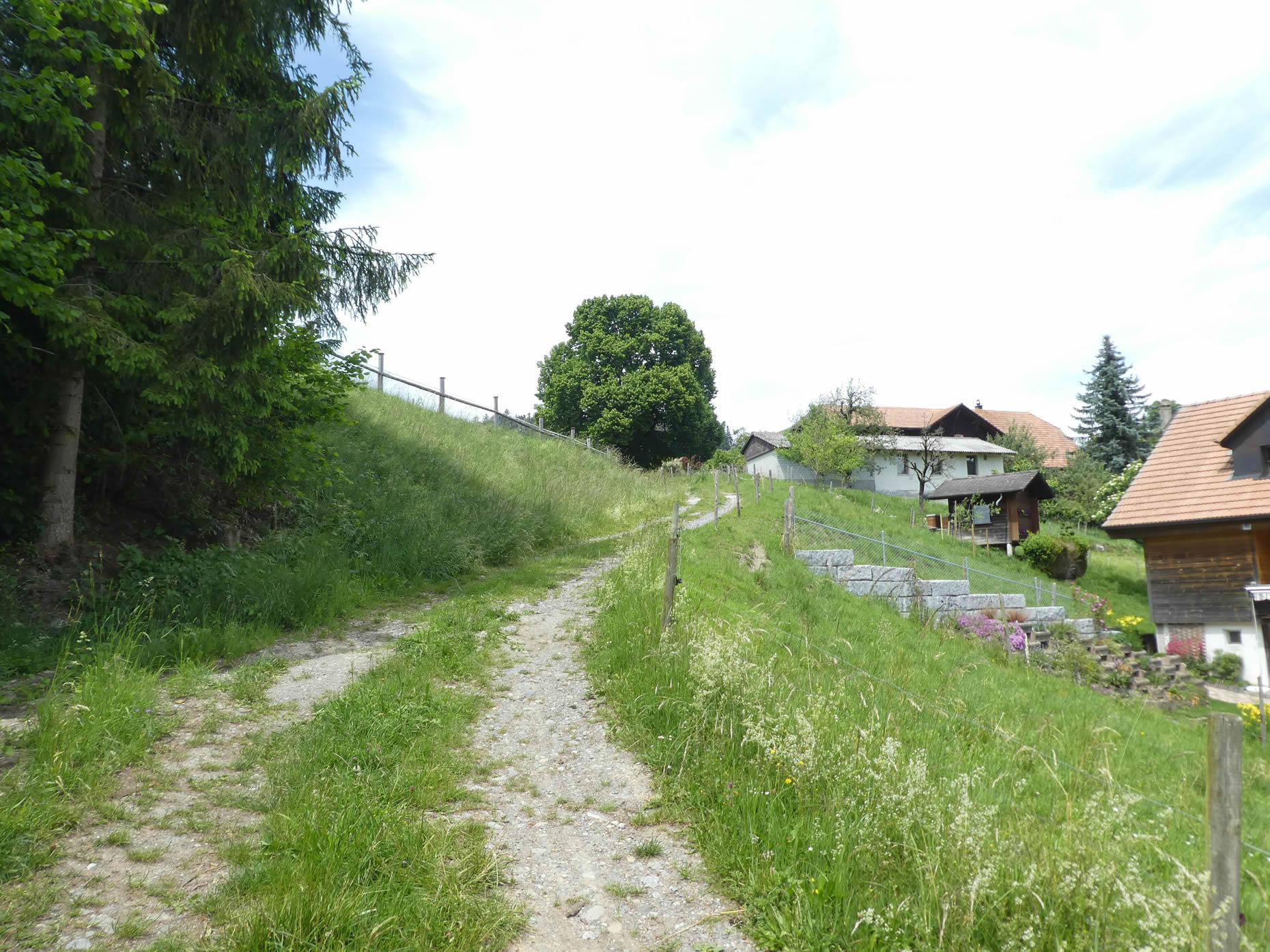
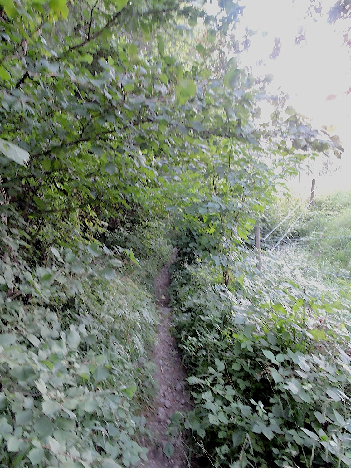
| A little further down, the Via Jacobi veers off the small road and runs into the grass on a small hill. But you can just as well continue on the road. There are no vehicles, or very rarely. But isn’t it better to choose a wilder path? |
 |
 |
Section 2: Over hill and dale in the Bernese countryside

Overview of the route’s challenges: a rather steep ascent above Riggisberg.
|
On this graceful path, every step is a caress to the soul, a symphony of sensations where the earth seems to reveal its most intimate secrets. The maples, majestic in their splendor, stretch their branches towards the sky, while the beeches and oaks stand like vigilant guardians, watching over this landscape imbued with serenity.
|
 |
 |
|
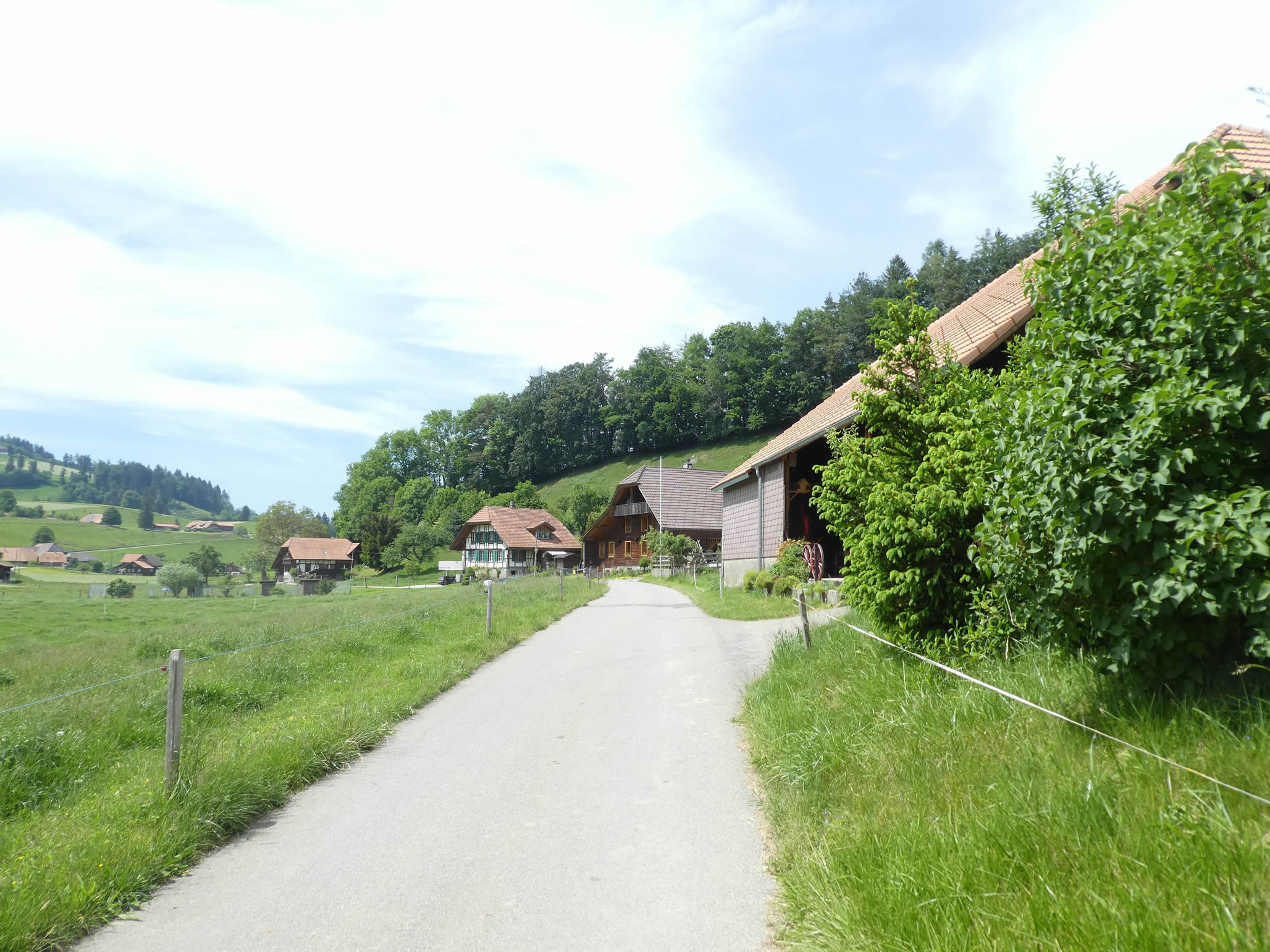
At the edge of the woods, the small path running through the grass joins the road at the locality of Untere Elbschen.
|
 |
 |
From here, it’s a short half-hour to reach Riggisberg. Beyond the trees, stretches a breathtaking panorama that reveals the sleepy village of Riggisberg, seeming to peacefully watch over its fertile lands. Here, each new construction is a tribute to past generations, a promise of continuity and beauty, evoking the wisdom of ancestors who knew how to build with harmony.
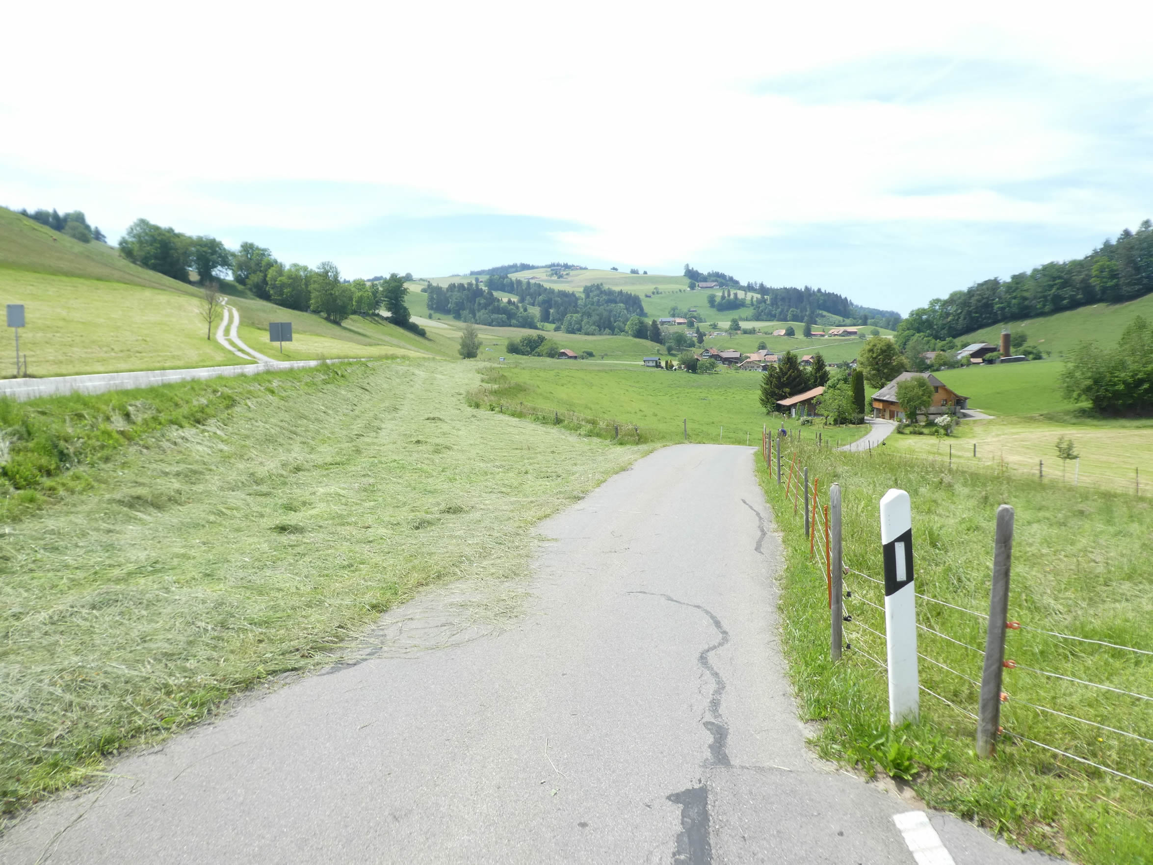
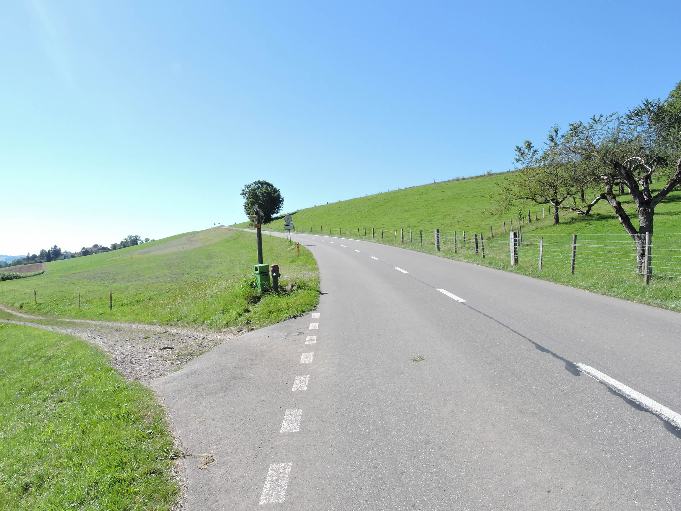
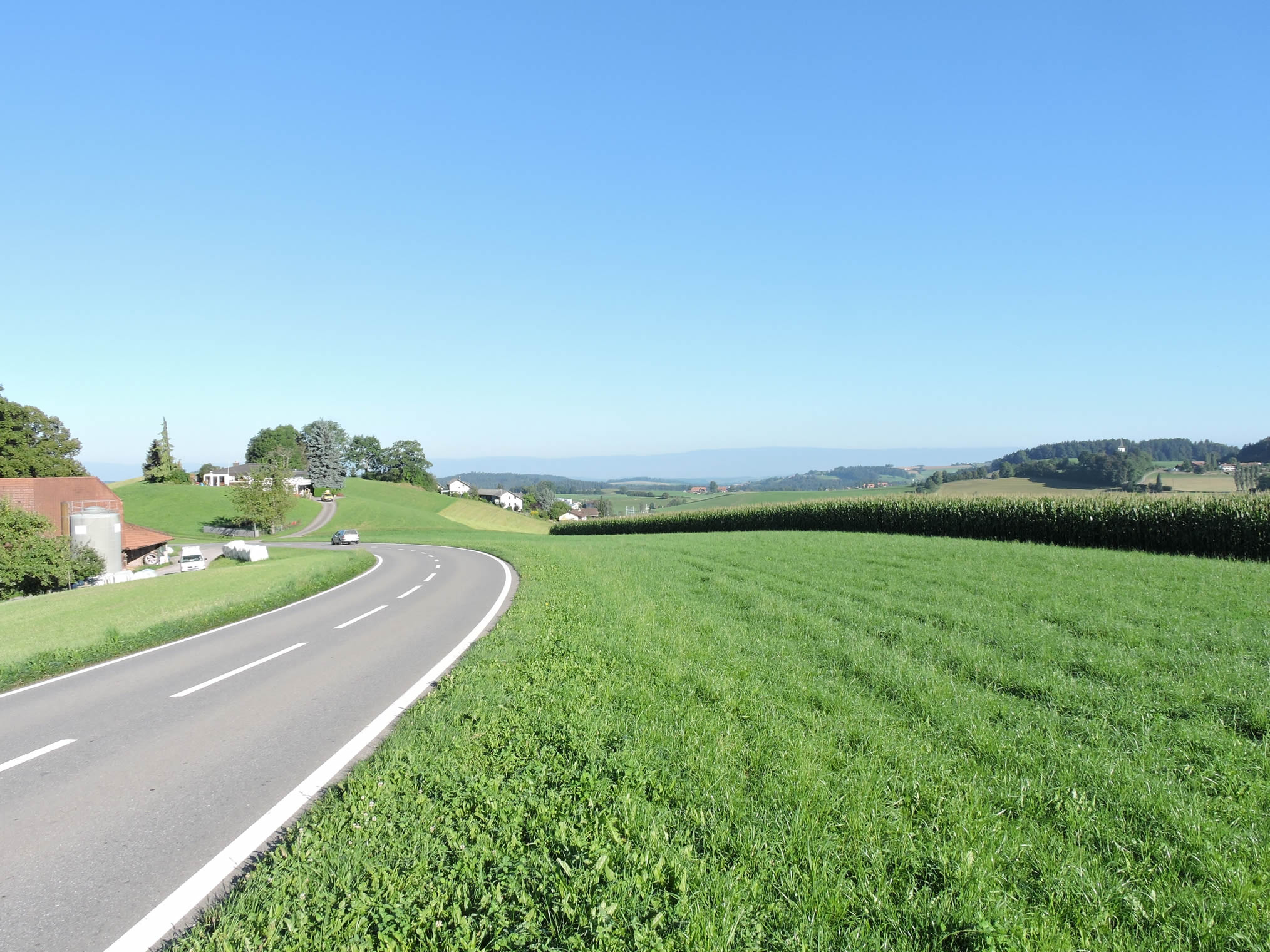
| The paved road slopes down gradually into the dale, gently sloping amidst beautiful farms, fruit trees, and grand oaks. |
 |
 |
| Then, a wide dirt road replaces the pavement. Here, where nature reigns supreme, beech trees majestically line the Müllibach stream, their branches stretched like protective arms over the clear waters. The stream, a true gem of this preserved countryside, gracefully winds between the trees, offering enchanting spectacle to the walkers of its crystalline dance. |
 |
 |
| At the edge of the woods, the stream disappears into the bushes, near a humble oratory standing like an offering to the surrounding nature. |
 |
 |
| Life resumes its peaceful course near the stream, where exuberant flora testifies to the vitality of this preserved ecosystem. |
 |
 |
| Soon, the horizon widens, revealing the familiar silhouette of Riggisberg now appearing in the near distance. |
 |
 |
| Approaching the small town, the road briefly slopes up, reaffirming its presence as the pavement takes over, marking the territory of civilization in this rural landscape. |
 |
 |
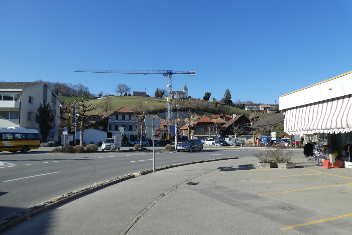
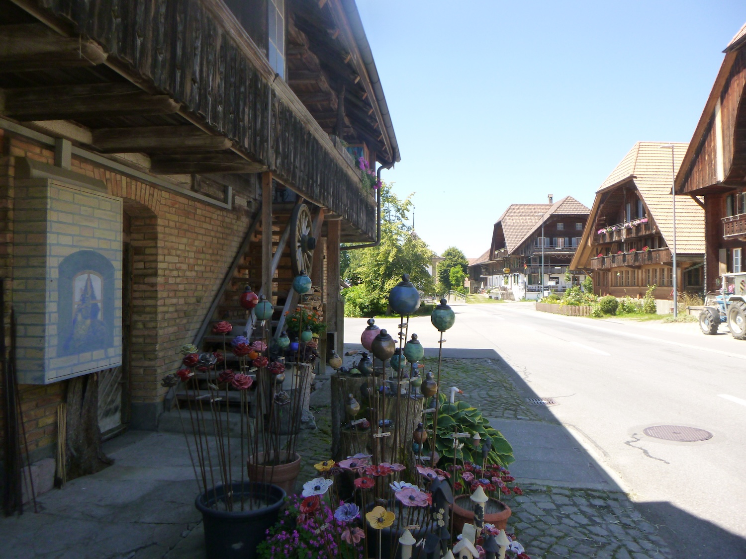
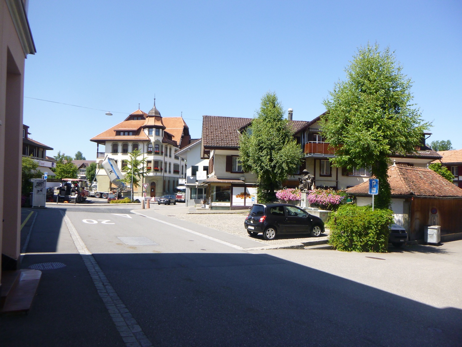
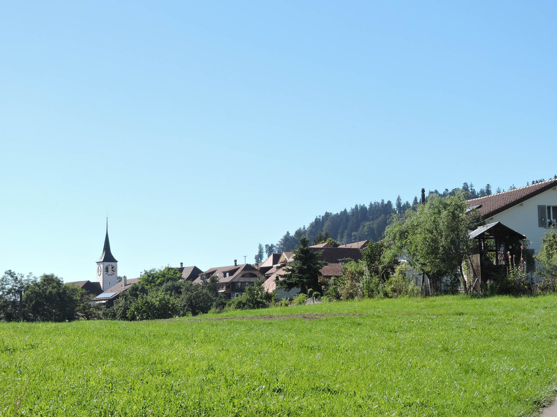
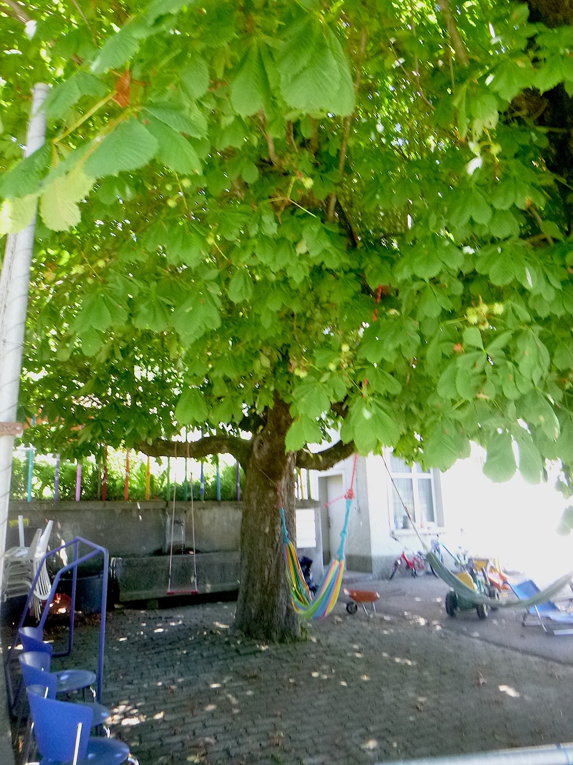
| The Via Jacobi soon blends into the urban fabric of the town, where cobblestone streets resonate with the joyful hum of daily life. It runs through a small town (2,500 inhabitants), which is a regional hub of importance, where you can find all the shops, even a small hospital and a museum of woven textiles. The castle is away from the village, and the route does not pass through it. It’s the tourist gateway to the Gantrisch region. |
 |
 |
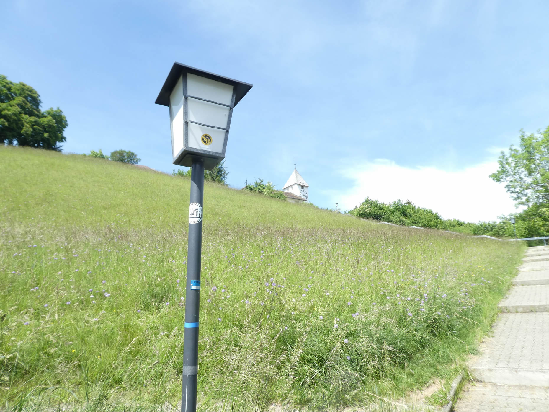
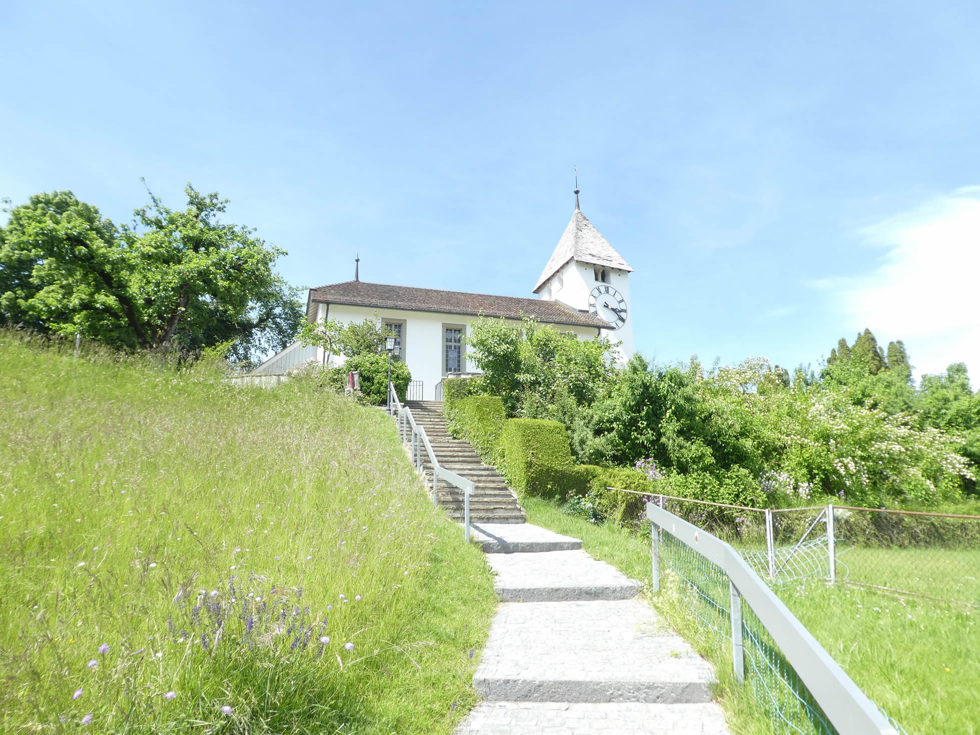
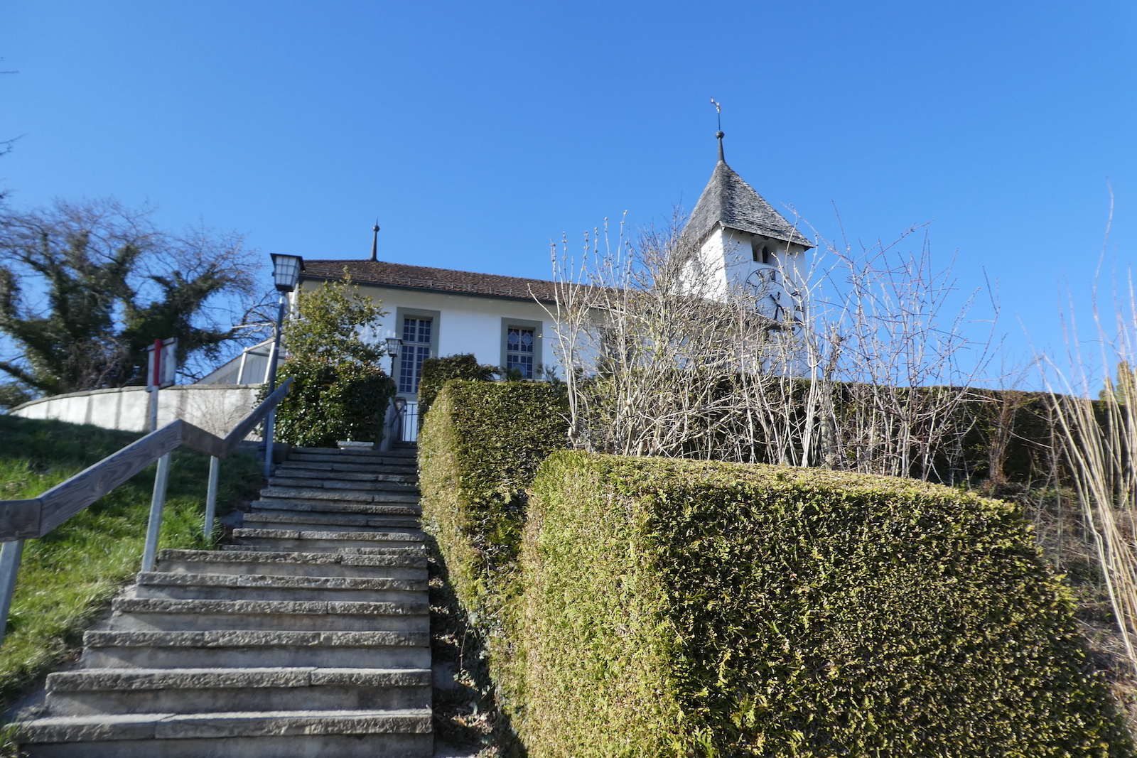
| Stone stairs gracefully wind up to the top of the hill, where the temple stands like a spiritual beacon amidst the tranquility of the landscape. |
 |
 |
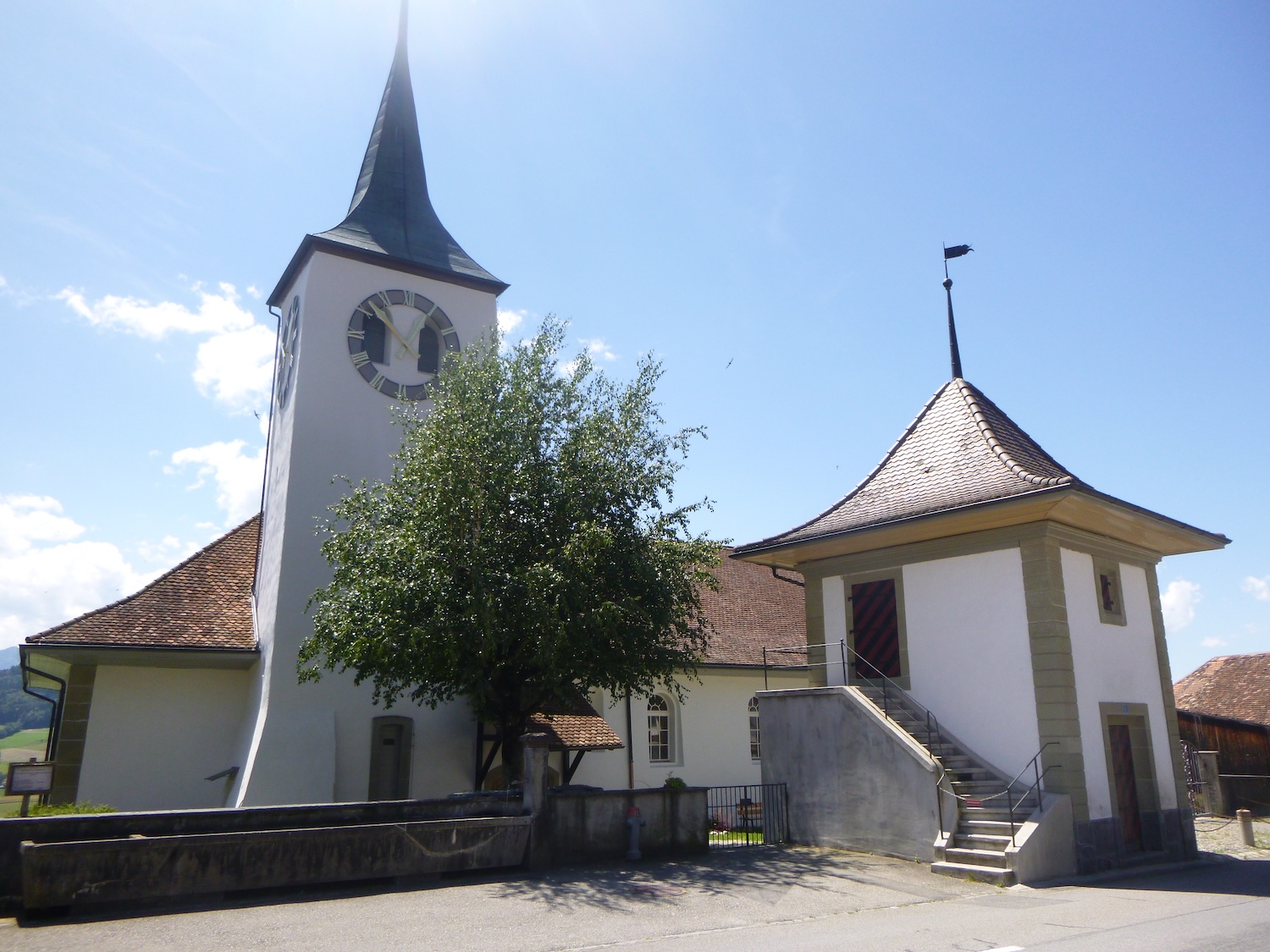
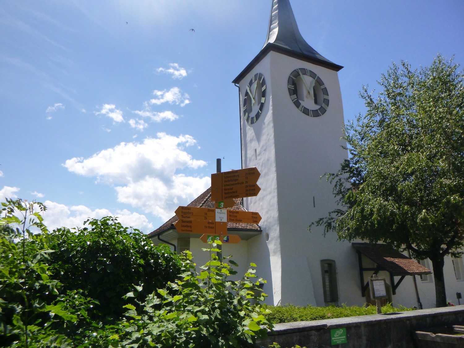
| The church dates back to the 12th century, and its bell tower is of late Romanesque style. During the Reformation, the church was closed and was only reopened in the 16th century, where it became a temple. It has been renovated over the centuries, with the last transformation at the end of the last century. |
 |
 |
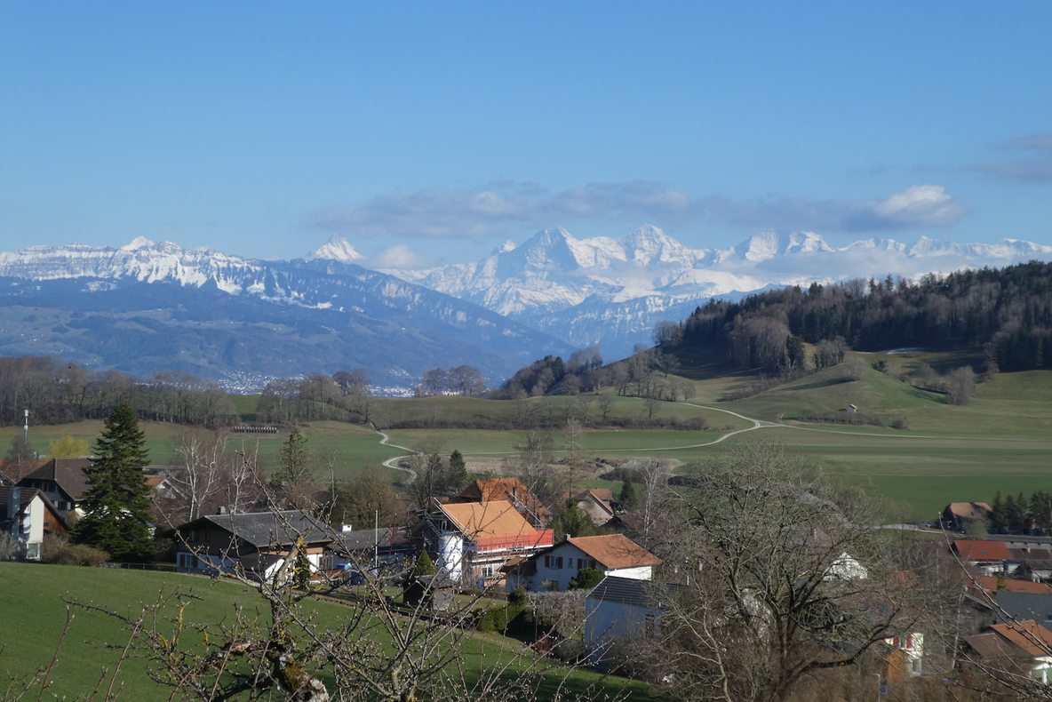
From the church square, the gaze embraces the endless expanse of the countryside, where verdant hills blend with the snowy peaks of distant mountains, on a clear day, one can even see the giants of the Bernese Alps. Better than a mere postcard.
| A road leads higher, to where the hospital spreads its protective wings, offering a haven of peace to troubled souls. |
 |
 |
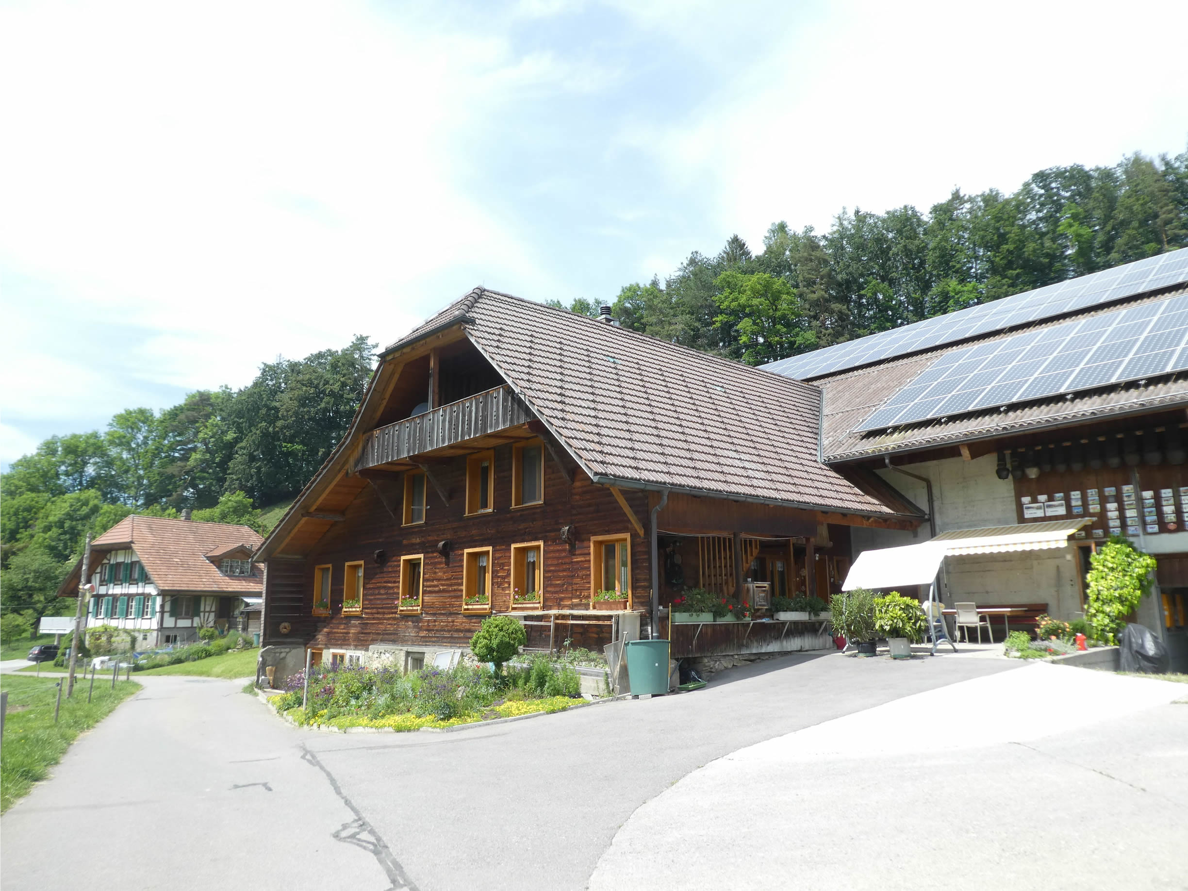
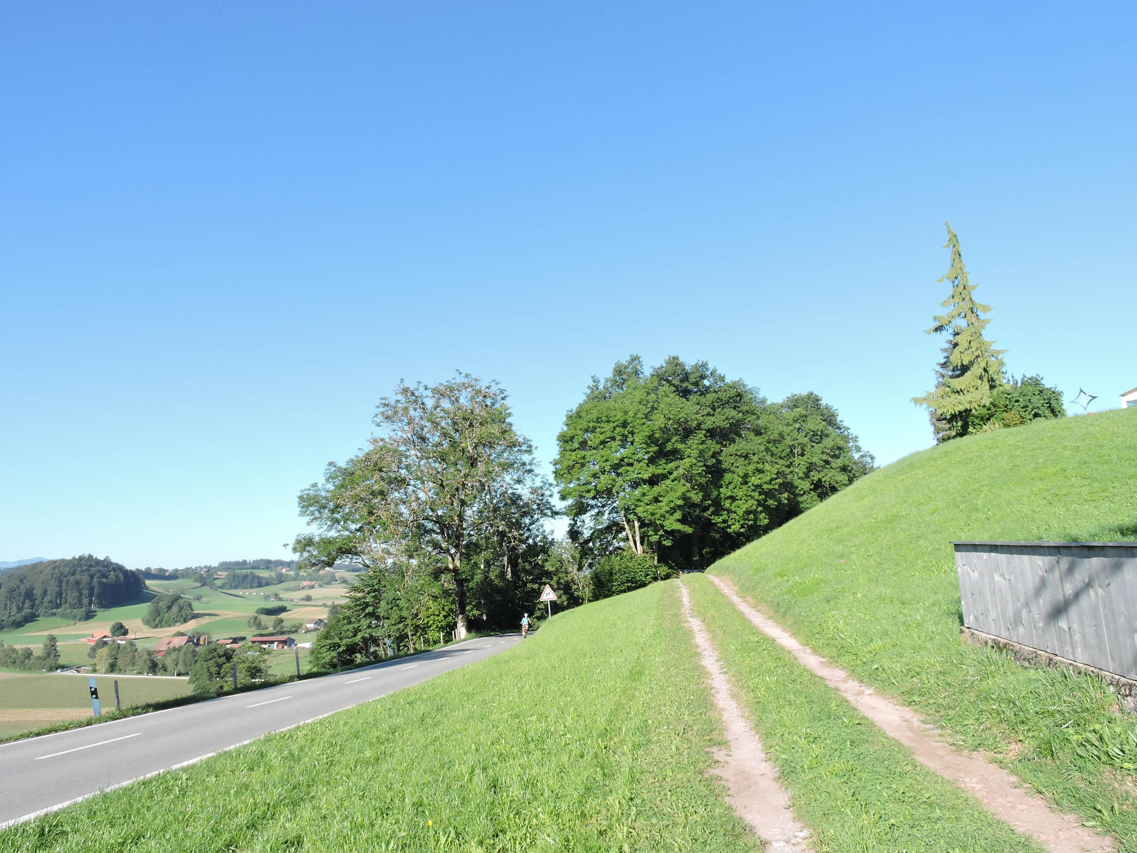
| The Via Jacobi then moves away from the outskirts of the small town, making its way through elegant neighborhoods where old master houses, all aged wood, vie for beauty. At first, the slope is severe. In the distance, fields stretch as far as the eye can see, their green pastures merging into the horizon. |
 |
 |
| Let’s change the scene a bit to show another reality of the route and progress a bit under the pouring rain. All this puts the landscapes into perspective. |
 |
 |
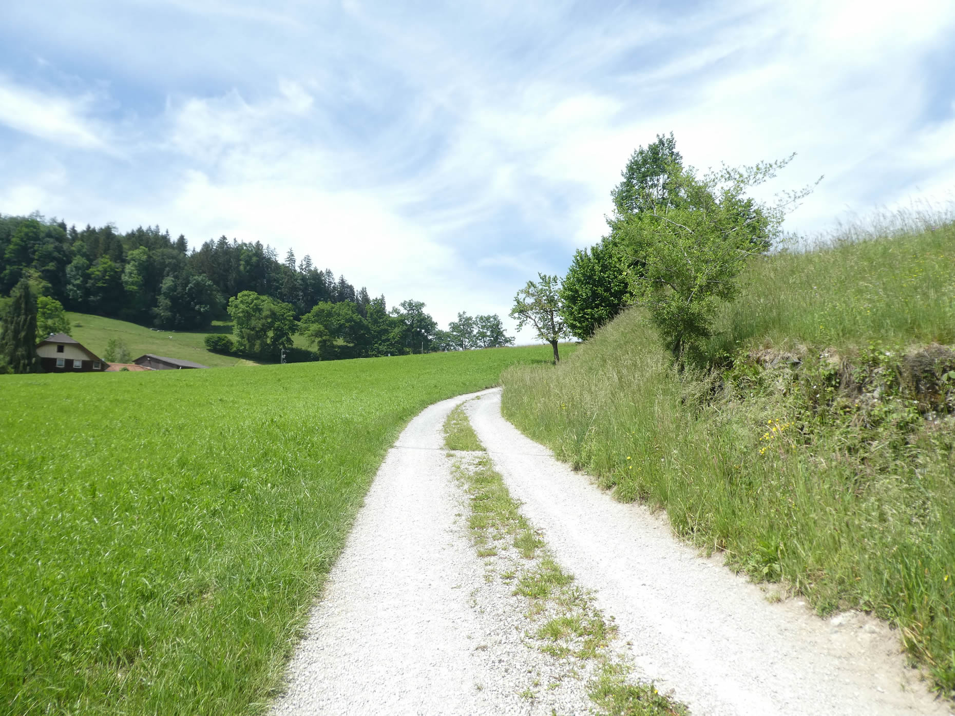
| Beyond the limits of the houses, the road turns into a wide dirt path, winding through rolling meadows where tall grasses dance with the wind. The countryside, in all its splendor, reveals its hidden charms to those who take the time to linger. |
 |
 |
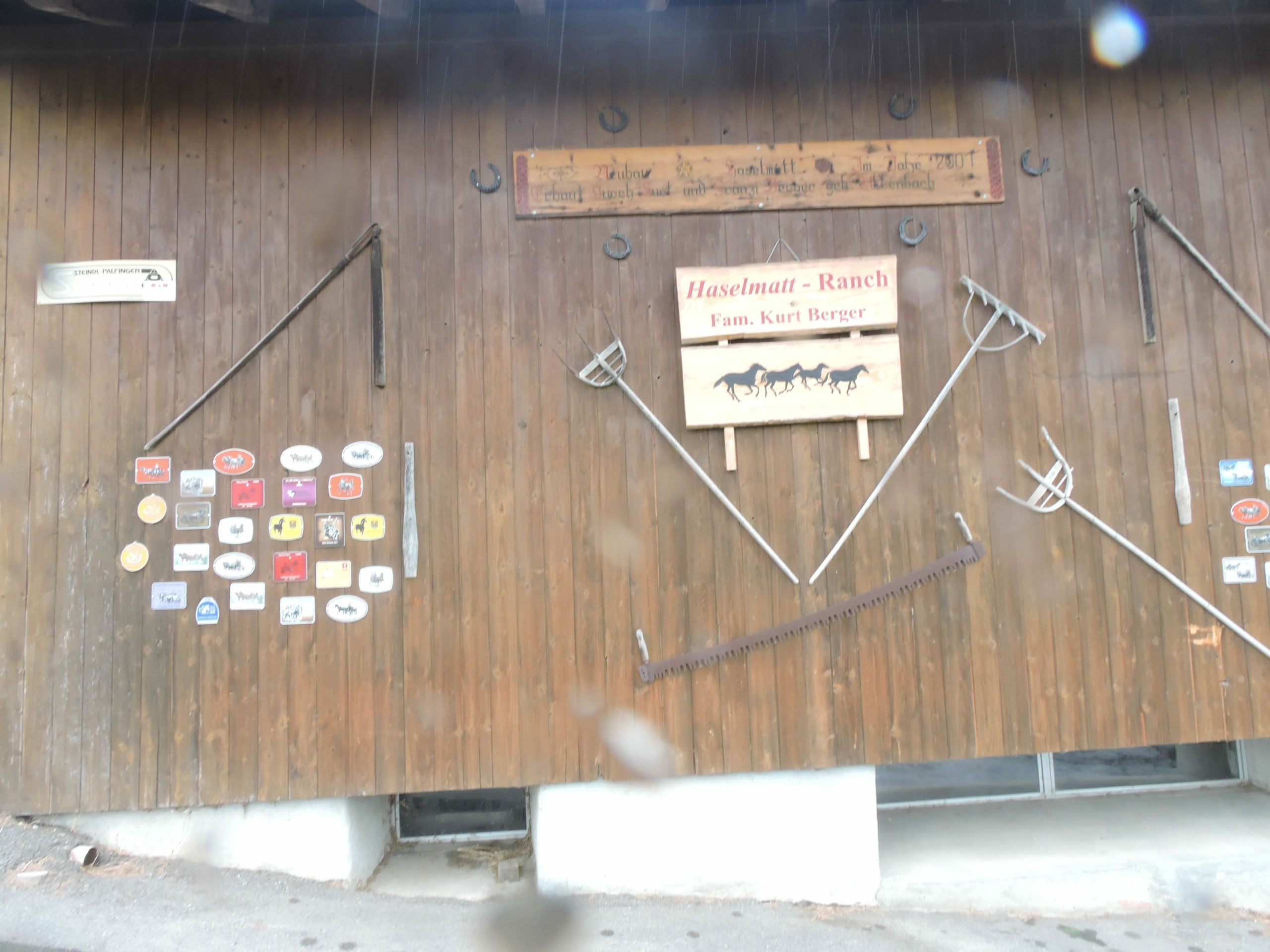
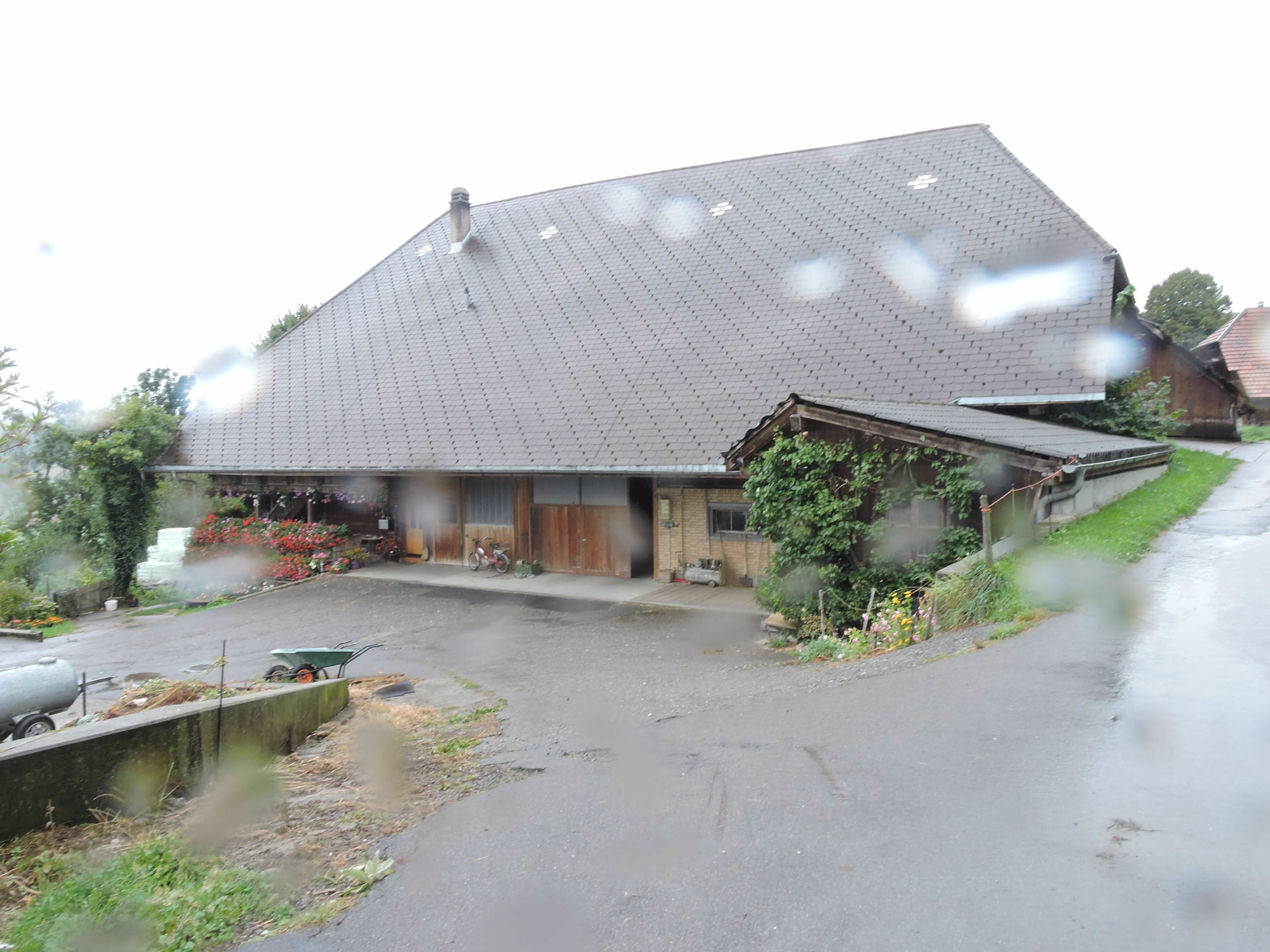
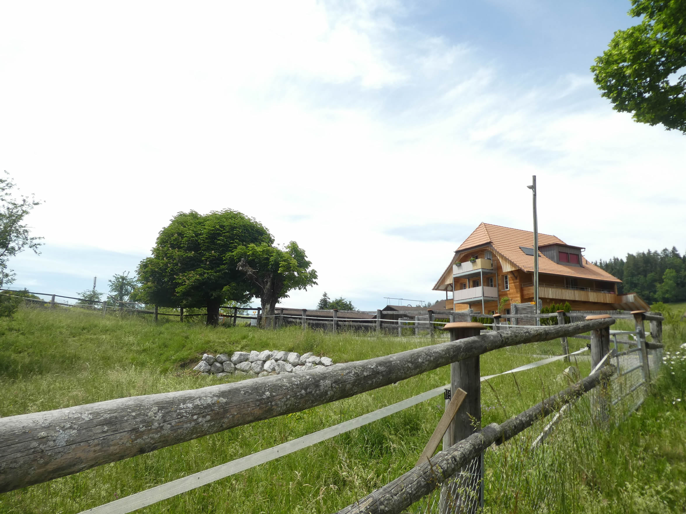
| Then, like a promise of comfort, the pavement reappears, offering a safer path in bad weather towards the heights, where the majestic ranch of Haselmatt stands like an oasis of peace amidst the green meadows. |
 |
 |
| Further on, the road climbs again, almost defying the laws of gravity in a fervent ascent towards the sleepy village of Tromwil, where time seems to have stopped in an eternal embrace. |
 |
 |
Section 3: Through the beautiful houses and farms of the Canton of Bern

Overview of the route’s challenges: easy passage before a more challenging descent into the dale.

|
The road unfolds until Tromwil, running through farms that, even in the rain, display unparalleled grandeur and elegance. A living tableau where agricultural opulence competes with the stormy skies. Swiss landscapes have never seemed as resplendent as in these Bernese lands. The charm of the farms embracing the hills spreads like an impressionist canvas, where every raindrop reveals a story.
|
 |
 |
| The rain intensifies, painting the surroundings with a mystical aura as the fog lingers over the valleys. But beyond these whims of the sky, the true beauty of these lands lies in their duality.
Come on! Let’s leave this bad weather behind and return here on a sunny day. The contrast is then striking. The same houses emerge as if from a nightmare. |
 |
 |
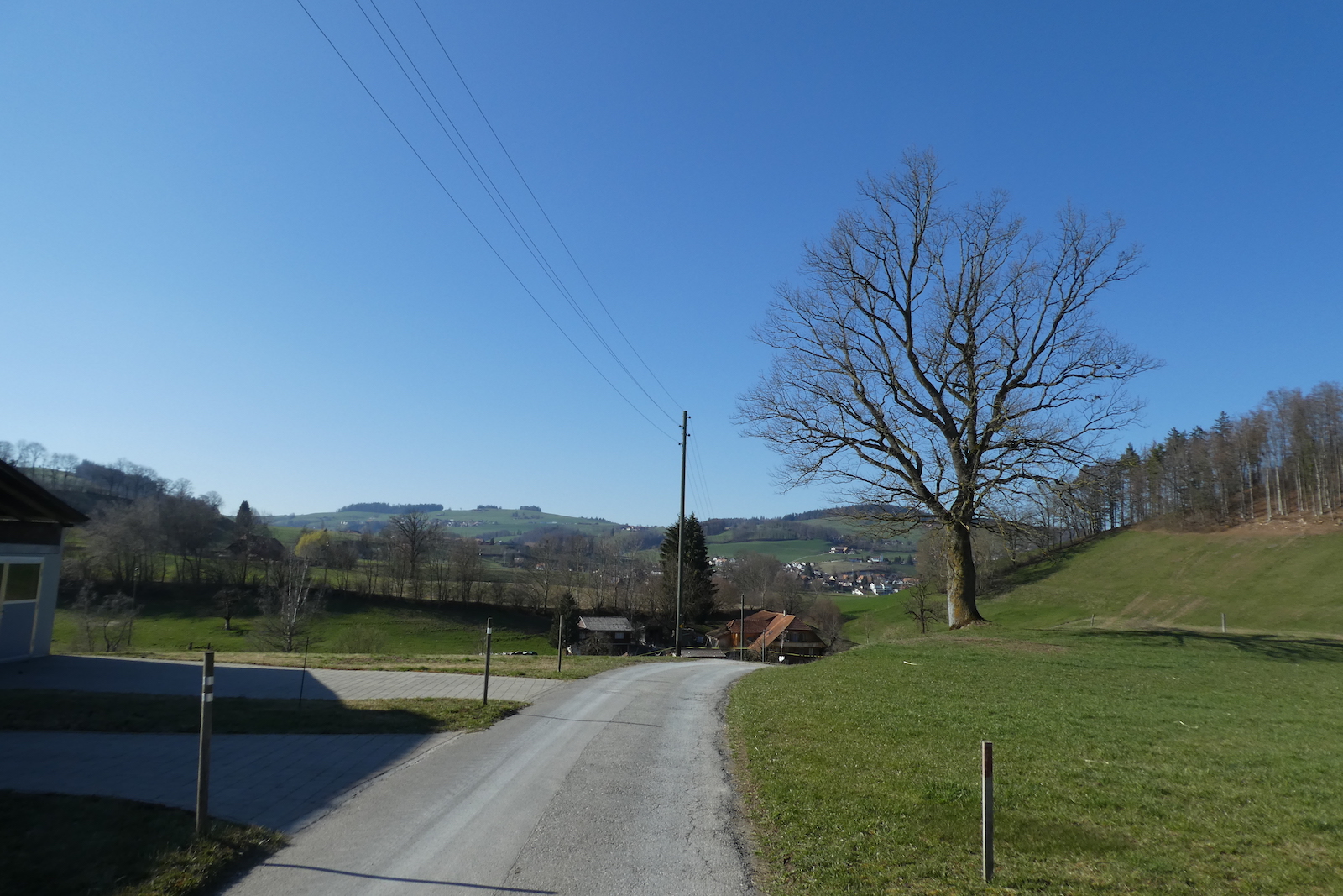
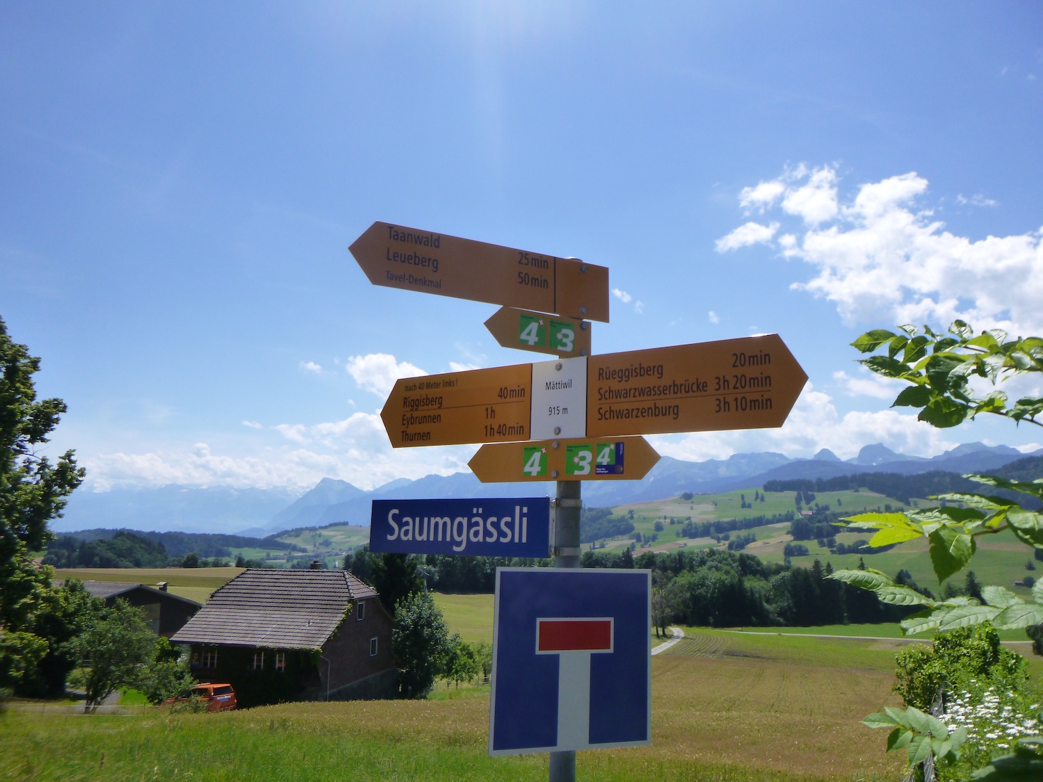
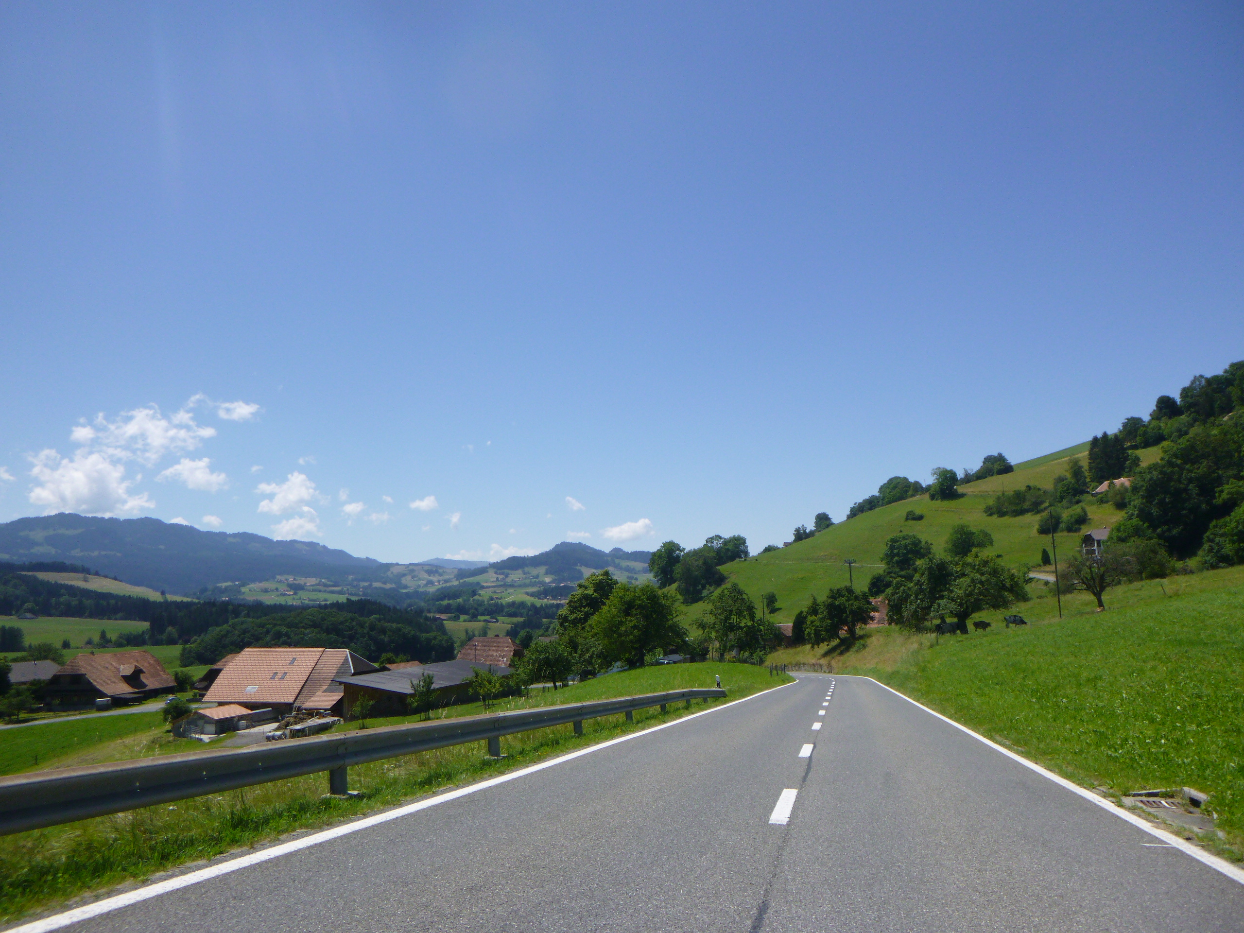
At the outskirts of the village, the modest road slopes up with determination, winding between the hills until it joins a more imposing artery, connecting Riggisberg to Rüeggisberg, towards Mättiwil.
|
 |
 |
The scene that unfolds upside down is of immeasurable majesty. Lake Thun stretches below, reflecting the towering peaks of the Bernese Alps, where giants reign: the Eiger, the Mönch, and the Jungfrau. A spectacle in constant motion, like a visual symphony, with each note inviting wonder.
| Arriving at Mättiwil marks the convergence point between the Via Jacobi 4 and its variant returning from Bern. We will also address this route on this site. |
 |
 |
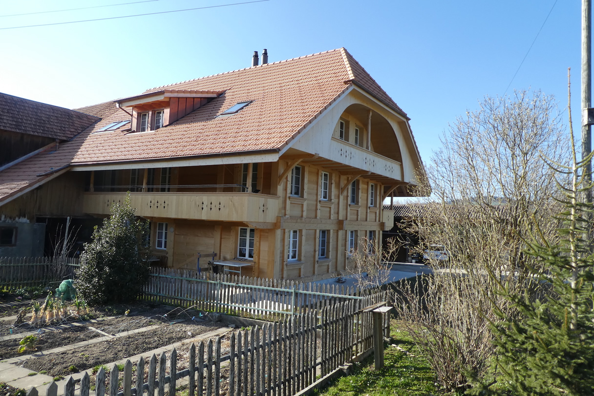
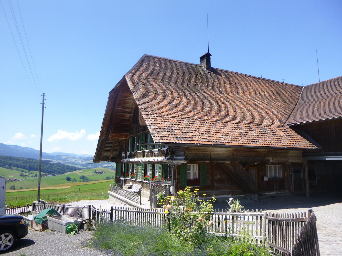
| Mättiwil offers a breathtaking showcase of Bernese rural architecture. Here, farms stand like colossi, majestic and imposing, their presence leaving no doubt about their grandeur. Every detail is carefully considered, from the charming facades to the flower-filled gardens adorning the balconies, without a hint of a manure heap to tarnish this perfection. |
 |
 |
| At the exit of the hamlet, a path unfolds peacefully through cultivated lands, offering a purified vision of the countryside, punctuated here and there by scattered crops. |
 |
 |
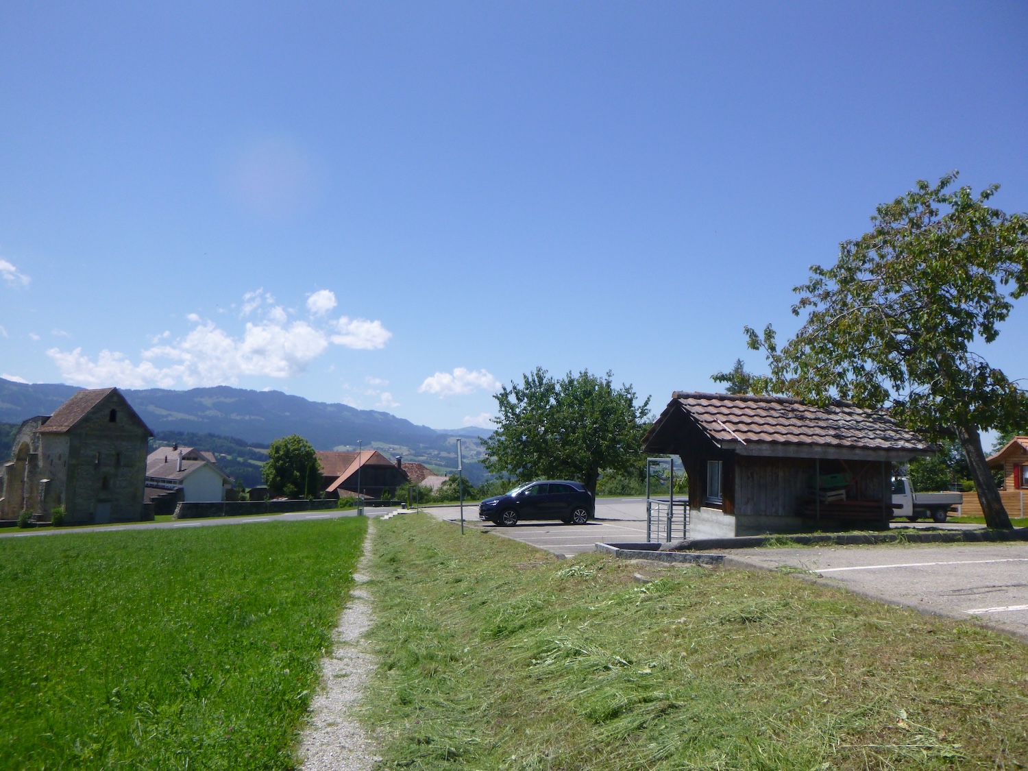
| The path quickly reaches the recent part of Rüeggisberg the village. |
 |
 |
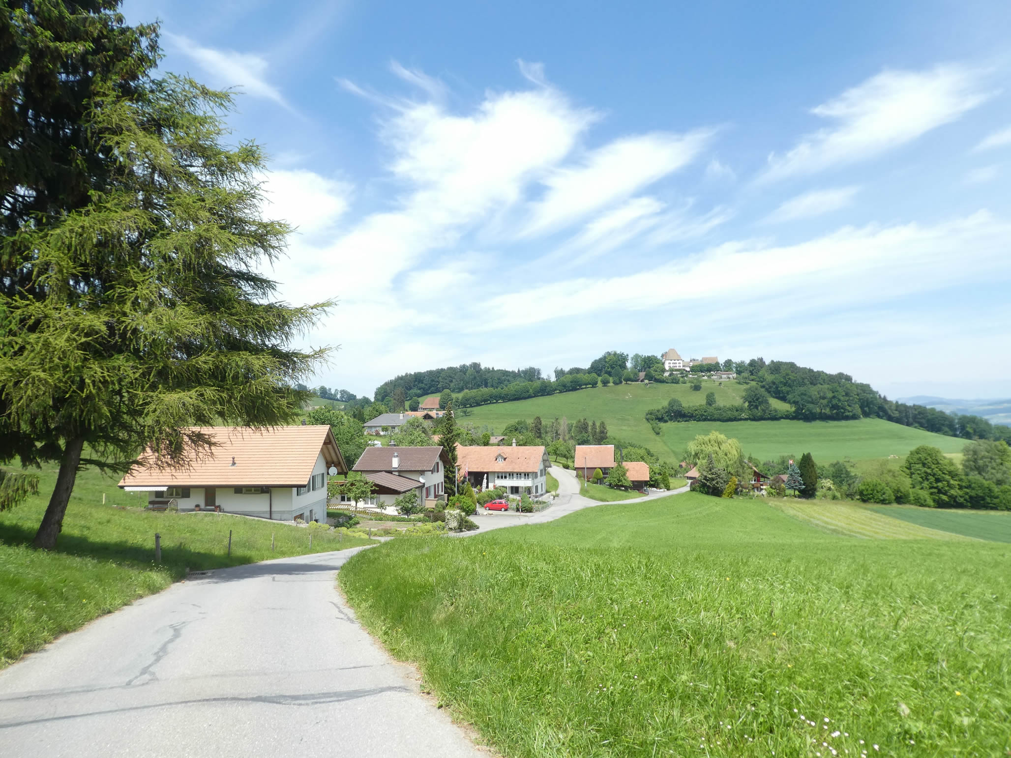
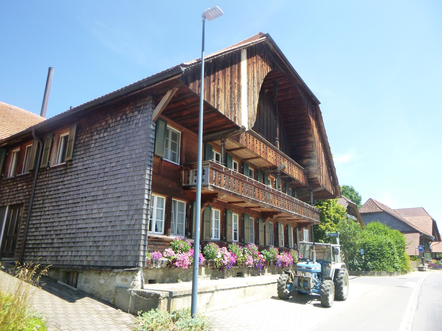
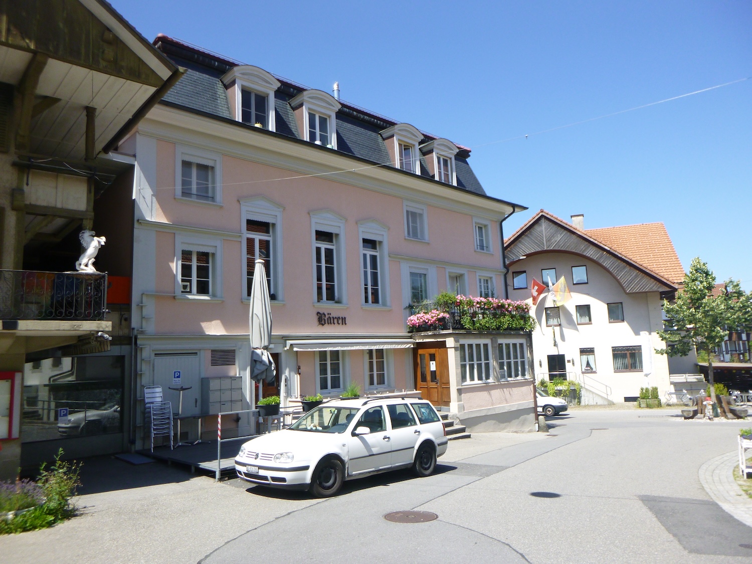
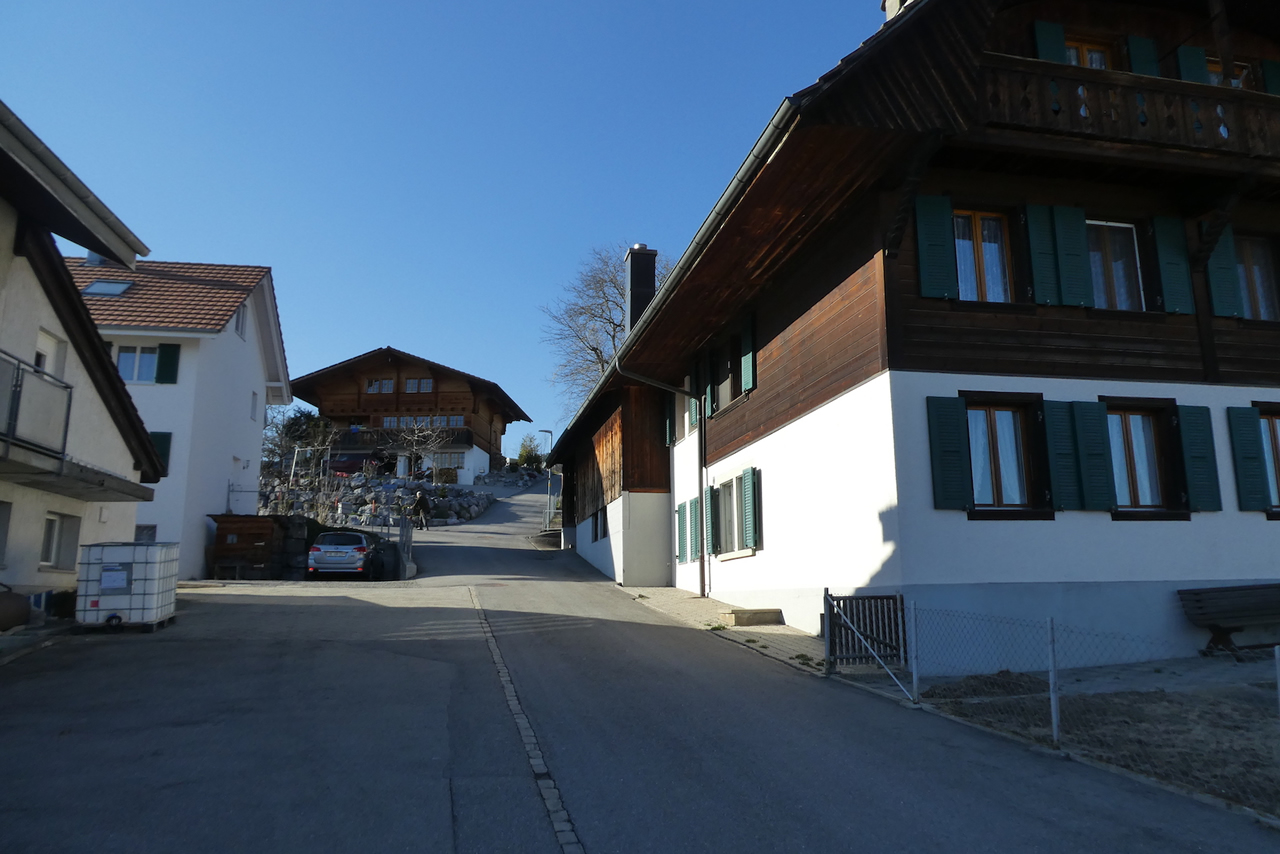
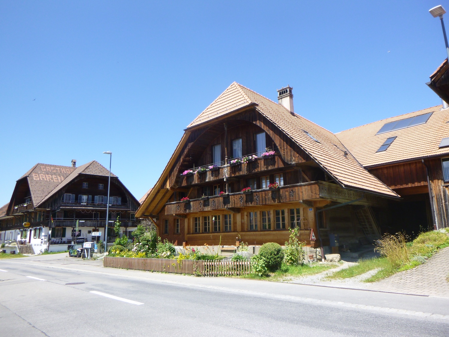
| Rüeggisberg, with its 1,800 souls, stands as a peaceful gem, a haven of tranquility lined with splendid residences. This village, a true ode to rural heritage, transforms into an open-air living museum, where every street is an art gallery in its own right. Imagine dozens of houses, pyramids of stone and wood, with facades adorned with vibrant flowers, gracefully aligned along the road. These bourgeois residences, with multiple floors, seem to compete in elegance in a harmonious dance with the surrounding mountains. |
 |
 |
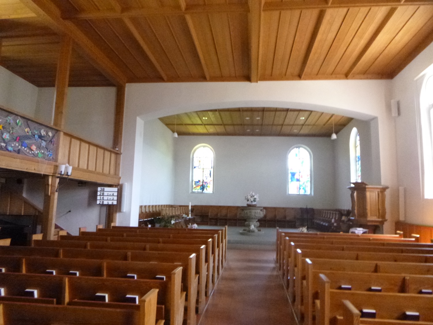
| After a fire in 1532, the village church was rebuilt. The ruins of the priory served as a quarry for the reconstruction of the village and its church. The interior was renovated last century. It is very bright. |
 |
 |
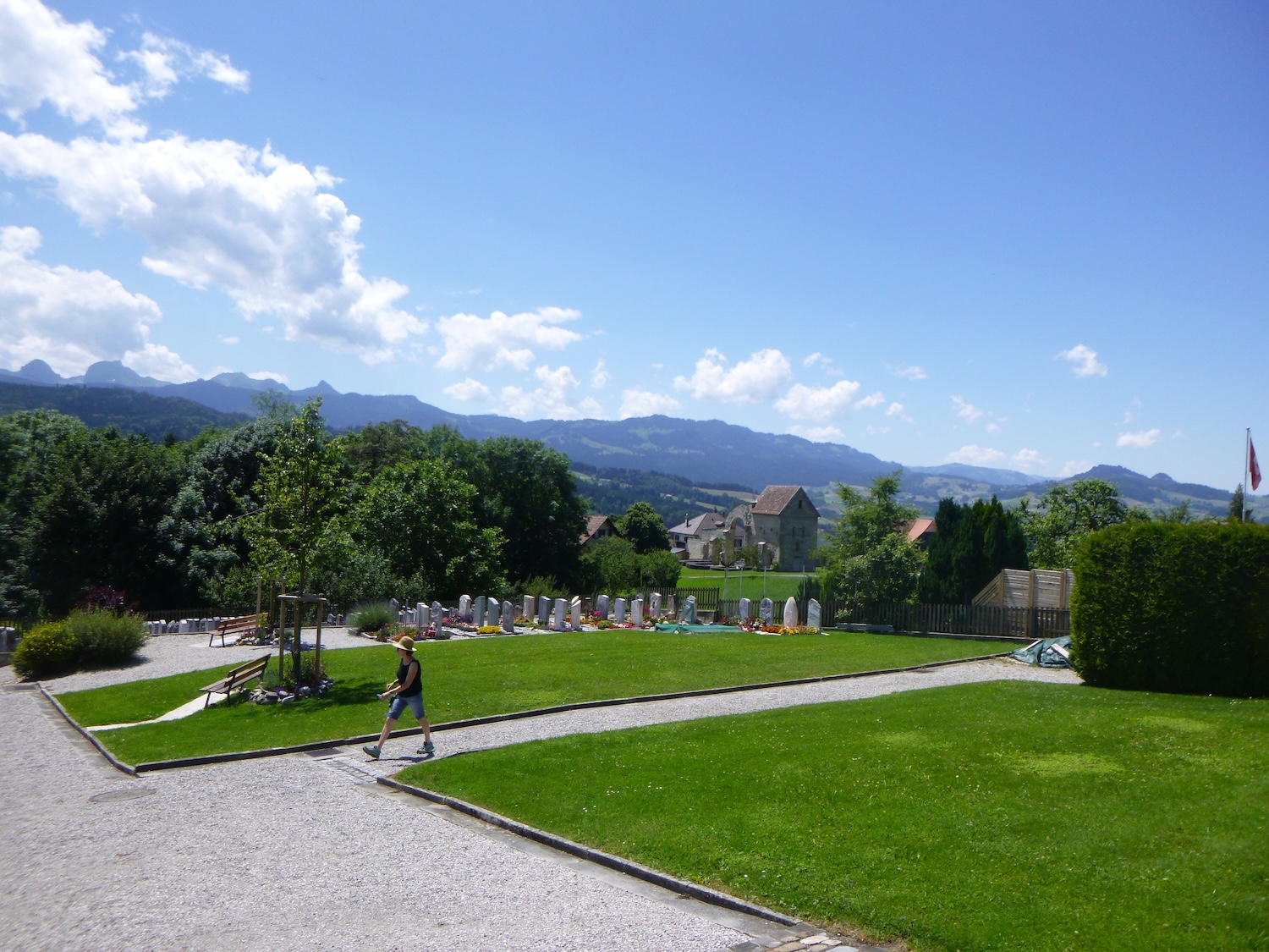
| The route passes in front of the church, crosses the cemetery… |
 |
 |
| …heading towards the old priory. |
 |
 |
|
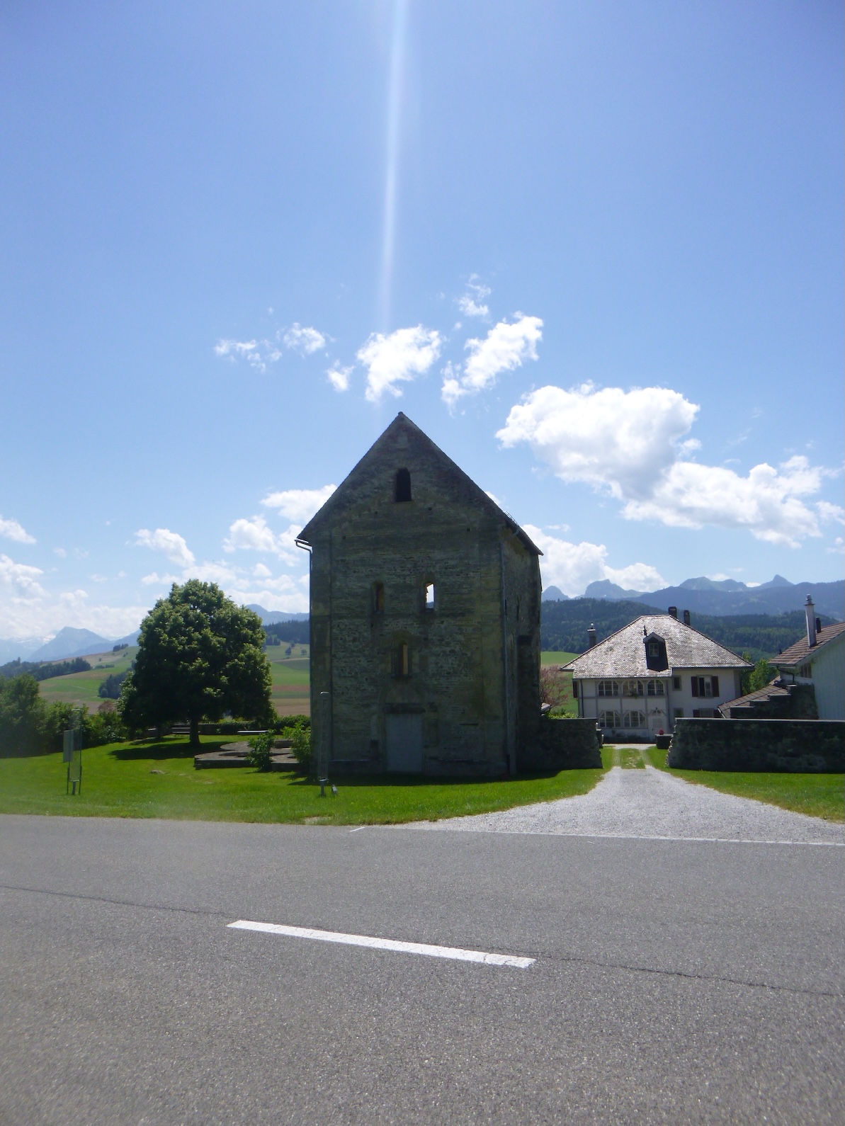
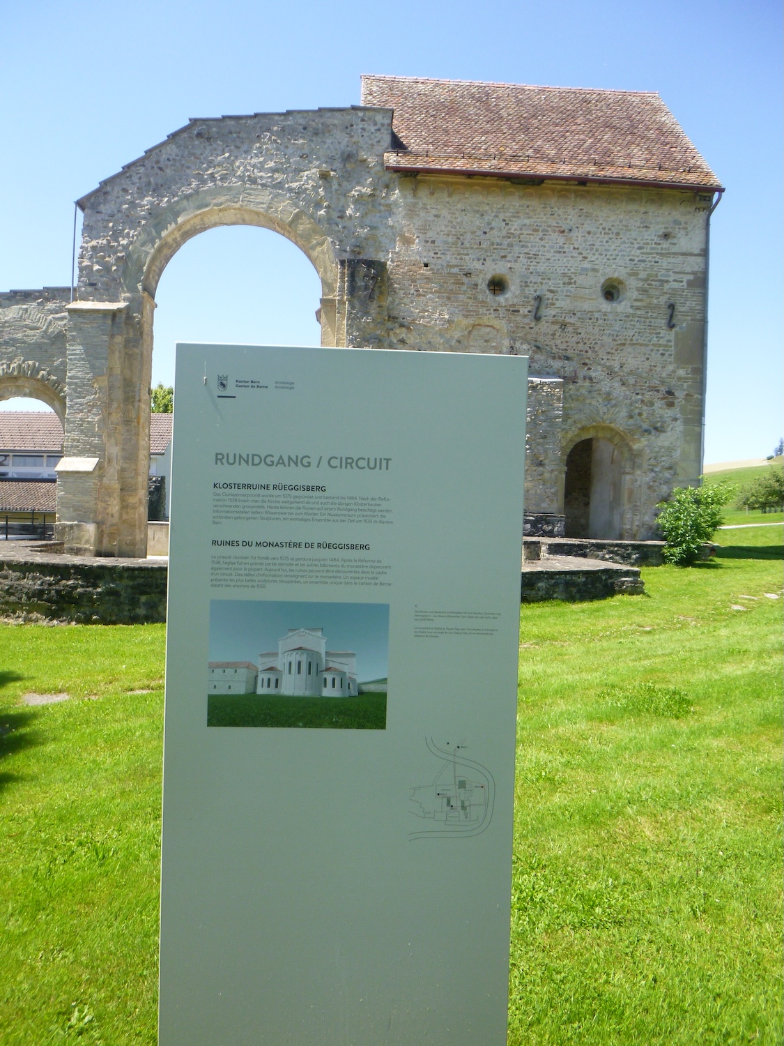
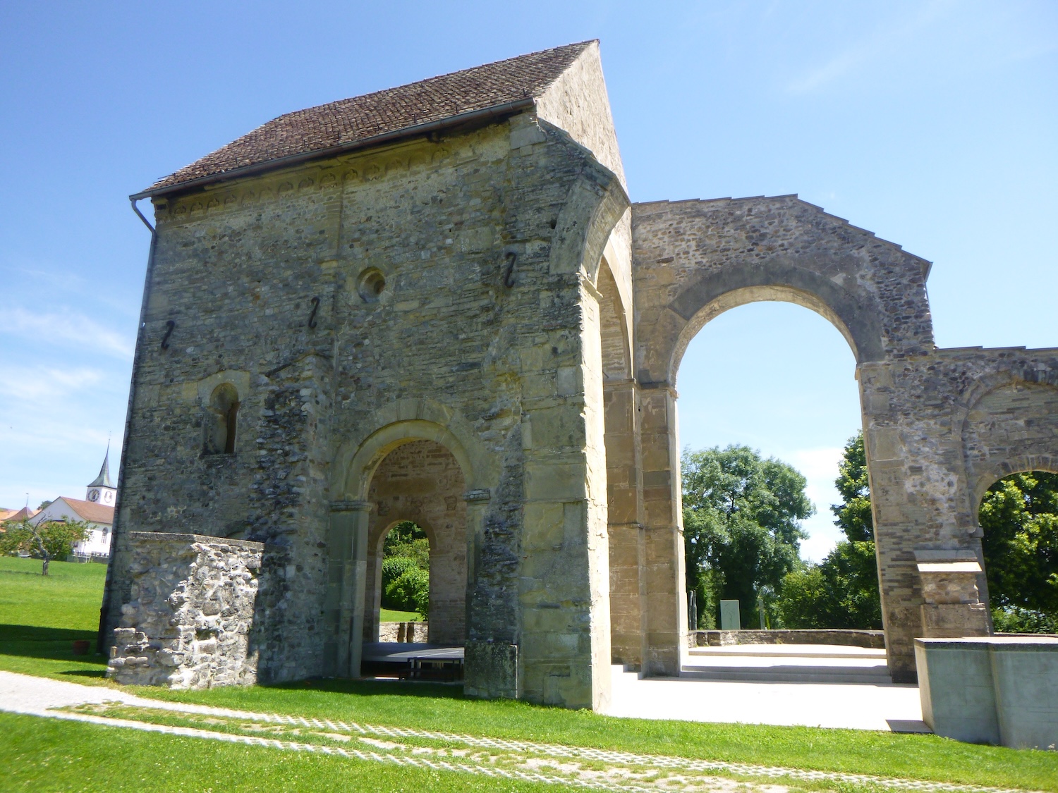
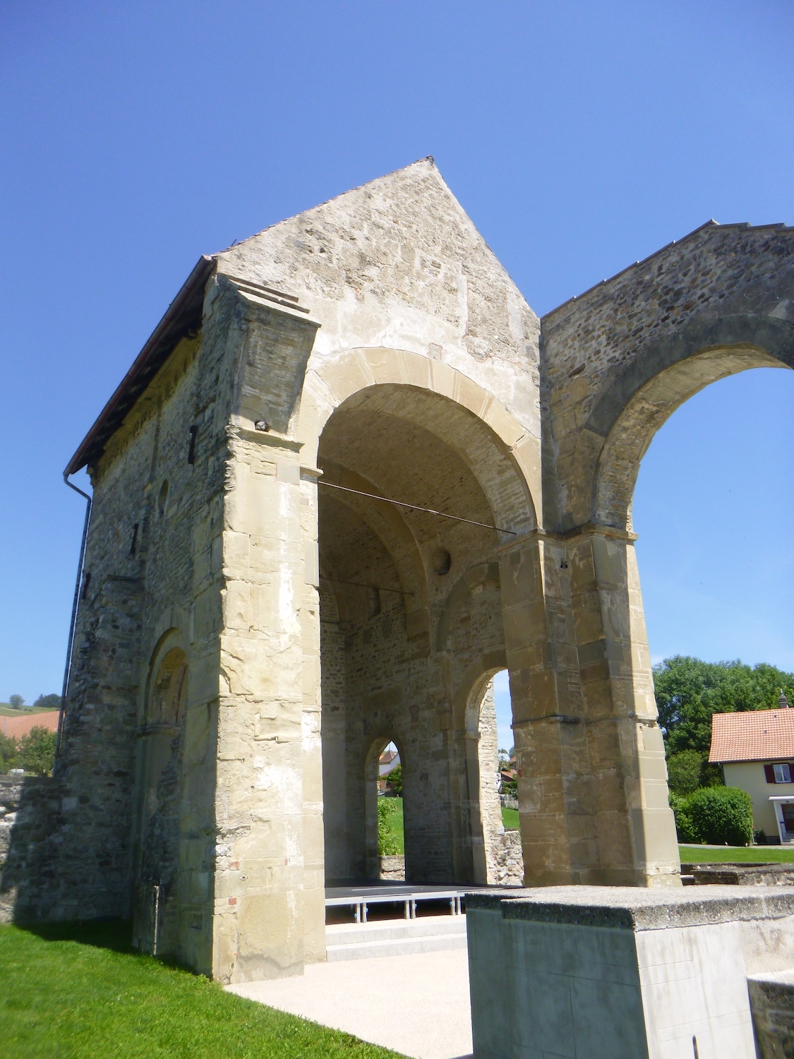
This priory once served as an important stop on the Camino de Santiago, though it is less so today. The ruins have been maintained and restored. On a Swiss scale, this site holds significant historical importance, demonstrating the reach of Cluny into the most remote parts of Europe.
|
 |
 |
|
 |
 |
| St Martin Church dates back to the late 11th century in terms of its foundation. At that time, Baron Lütold von Rümligen donated this church to the Abbey of Cluny to establish a monastery there. It was the first important Cluniac priory in German-speaking Switzerland and also the oldest established in Bernese land. The church and its dependencies (including the cloister) were built in the architectural style of Cluny II. The convent complex was imposing, and the church, with 3 naves and a transept, ended with a series of 5 Romanesque apses, likely very beautiful. The rights of landownership, justice, and even ecclesiastical rights extended far and wide. The domain also included alpine pastures. There remains a farm on the site. The city of Bern increased its influence and eventually incorporated the Cluniac priory into the chapter of Saint Vincent of Bern. After the Reformation, in 1541, the convent buildings were dismantled persistently, although some remains of the North transept endured, and the site long served as a quarry. |
 |
 |
 |
 |
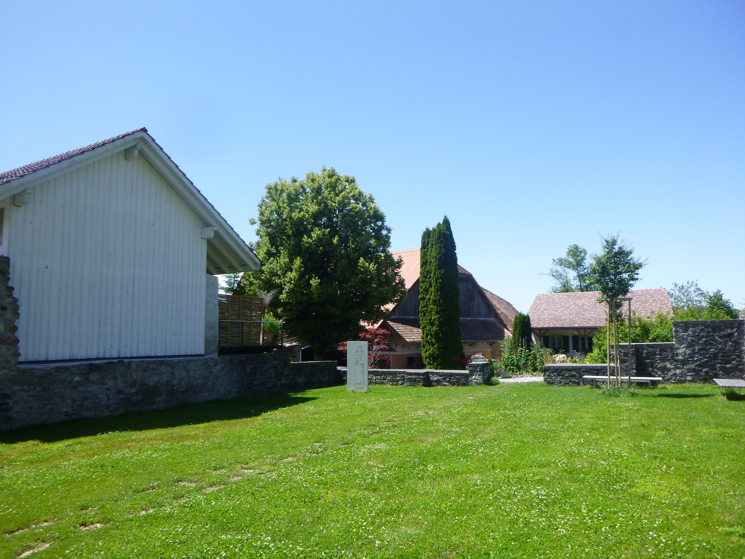
The route then leaves the cloister, at the corner of the farm.
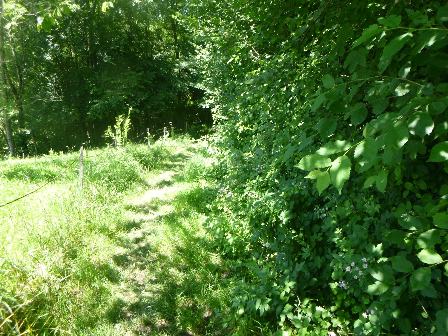
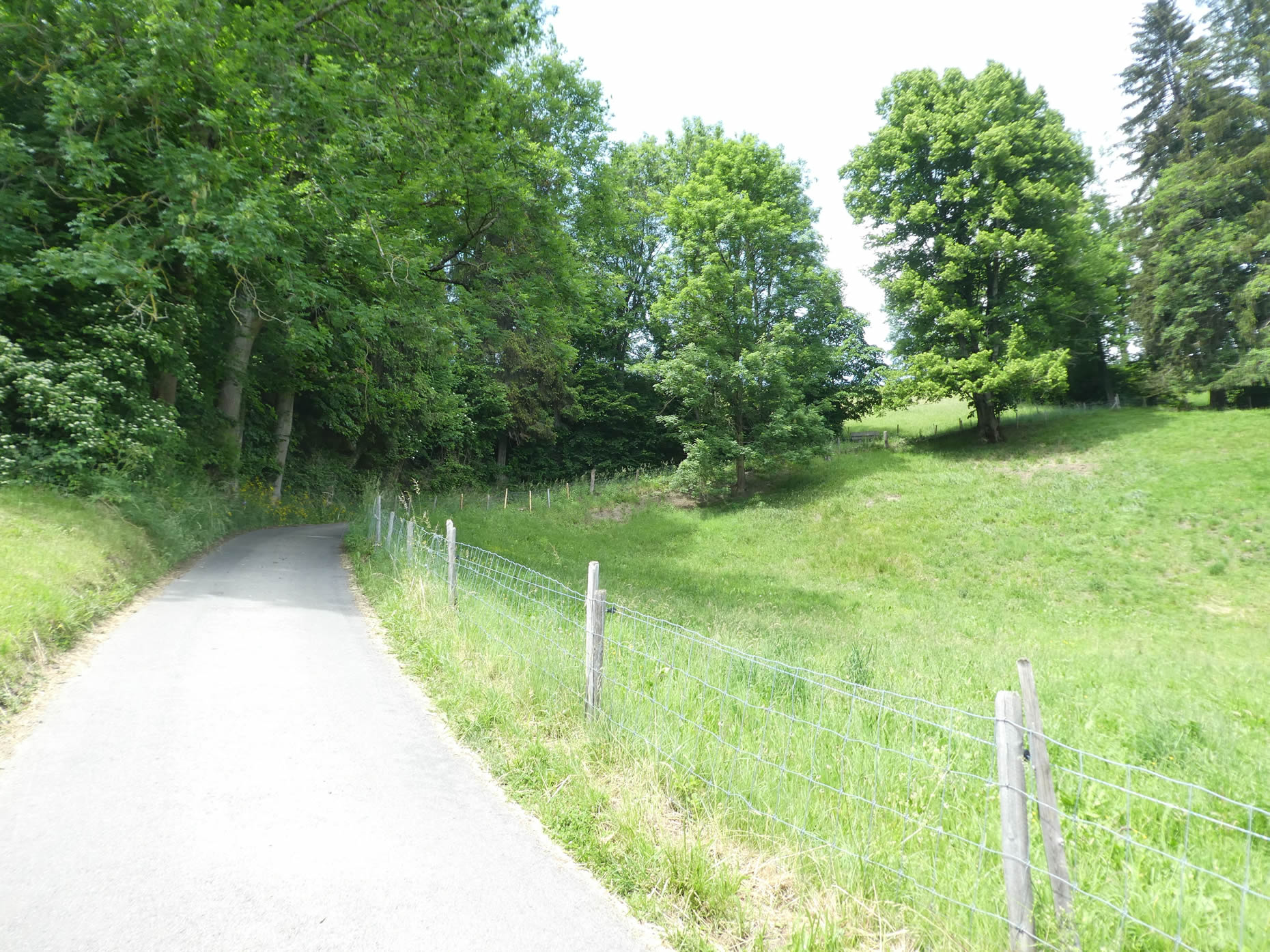
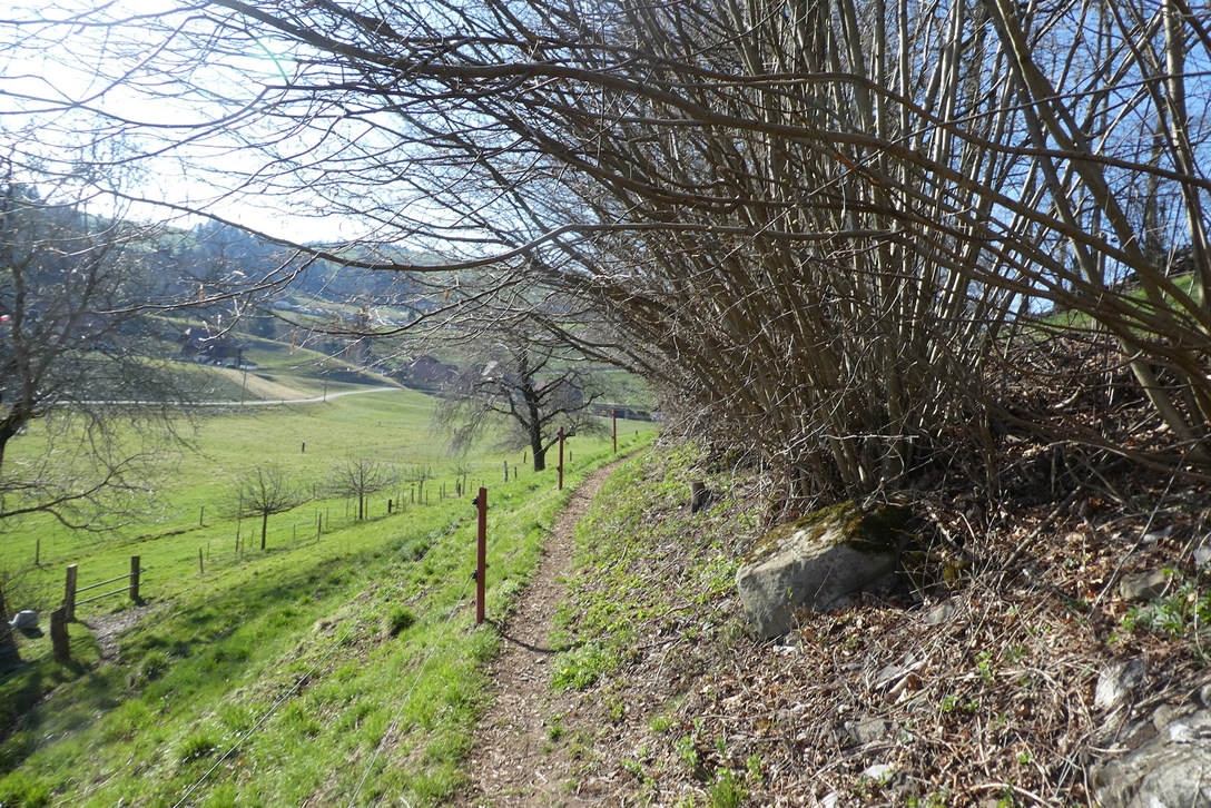
| Once you leave these remains, nature awakens in all its splendor, becoming alternately wild and enchanting. A trail winds into lush forests, weaving between century-old trees and dense, untamed bushess. |
 |
 |
| Lower down, the trail meets the rushing stream of the Grüenibach. |
 |
 |
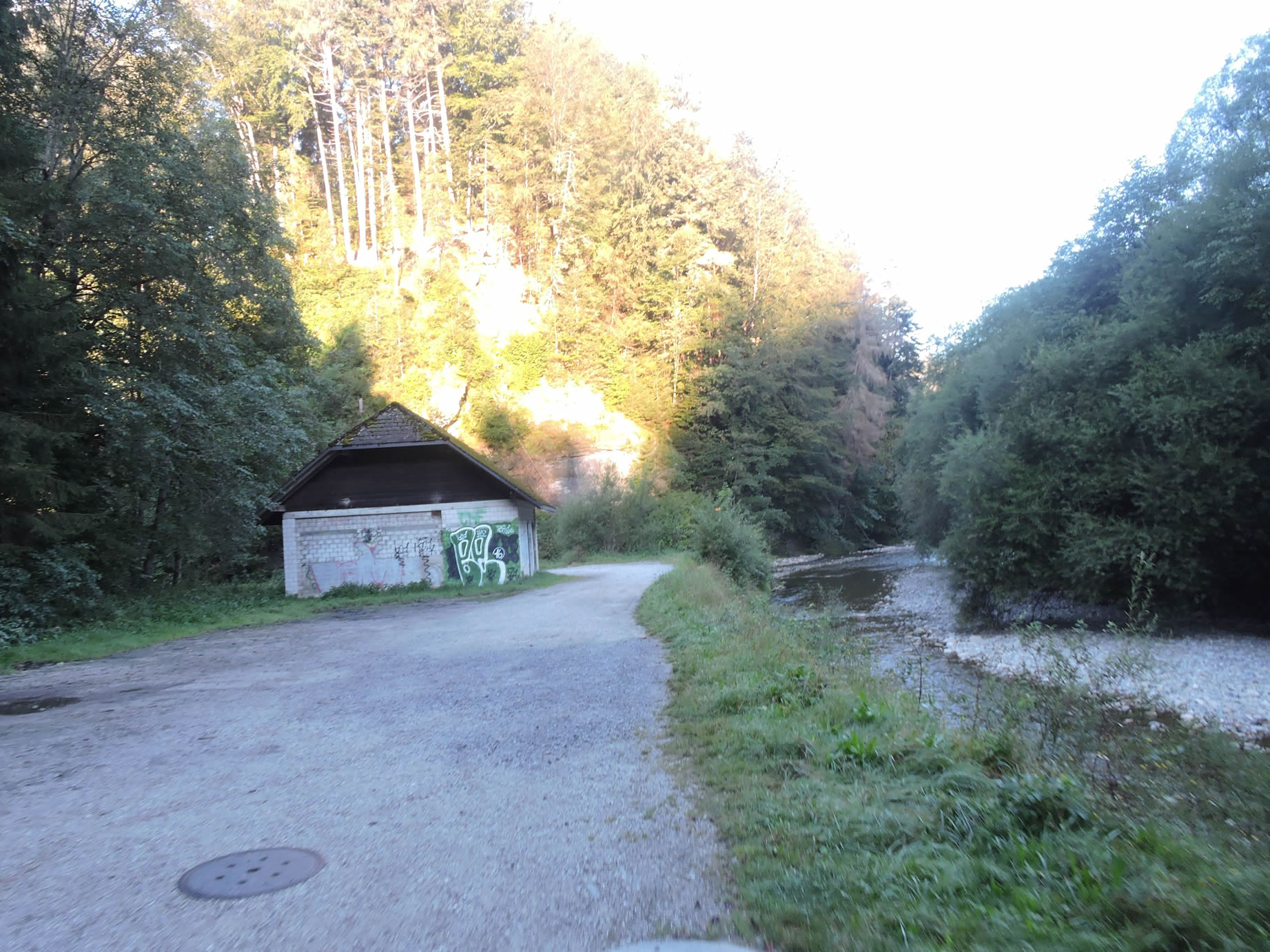
| At the bottom of the descent, over unsightly wooden logs, the trail joins the cantonal road descending from Rüeggisberg. |
 |
 |
| This part of the journey is far less exciting, along the road. But the penance is brief, and quickly the Via Jacobi returns to another bad trail plunging back into wild depths, to avoid a bend in the road. |
 |
 |
| The descent becomes steep, through tall grass that weaves a dark dome over the trail. |
 |
 |
| At the bottom of the dale, the trail crosses the Grüenibach stream again before regaining the calm of the road. |
 |
 |
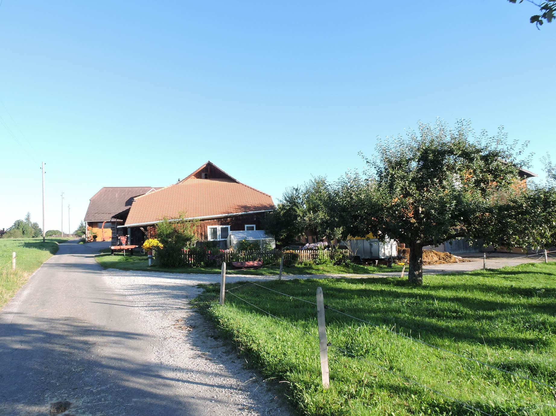
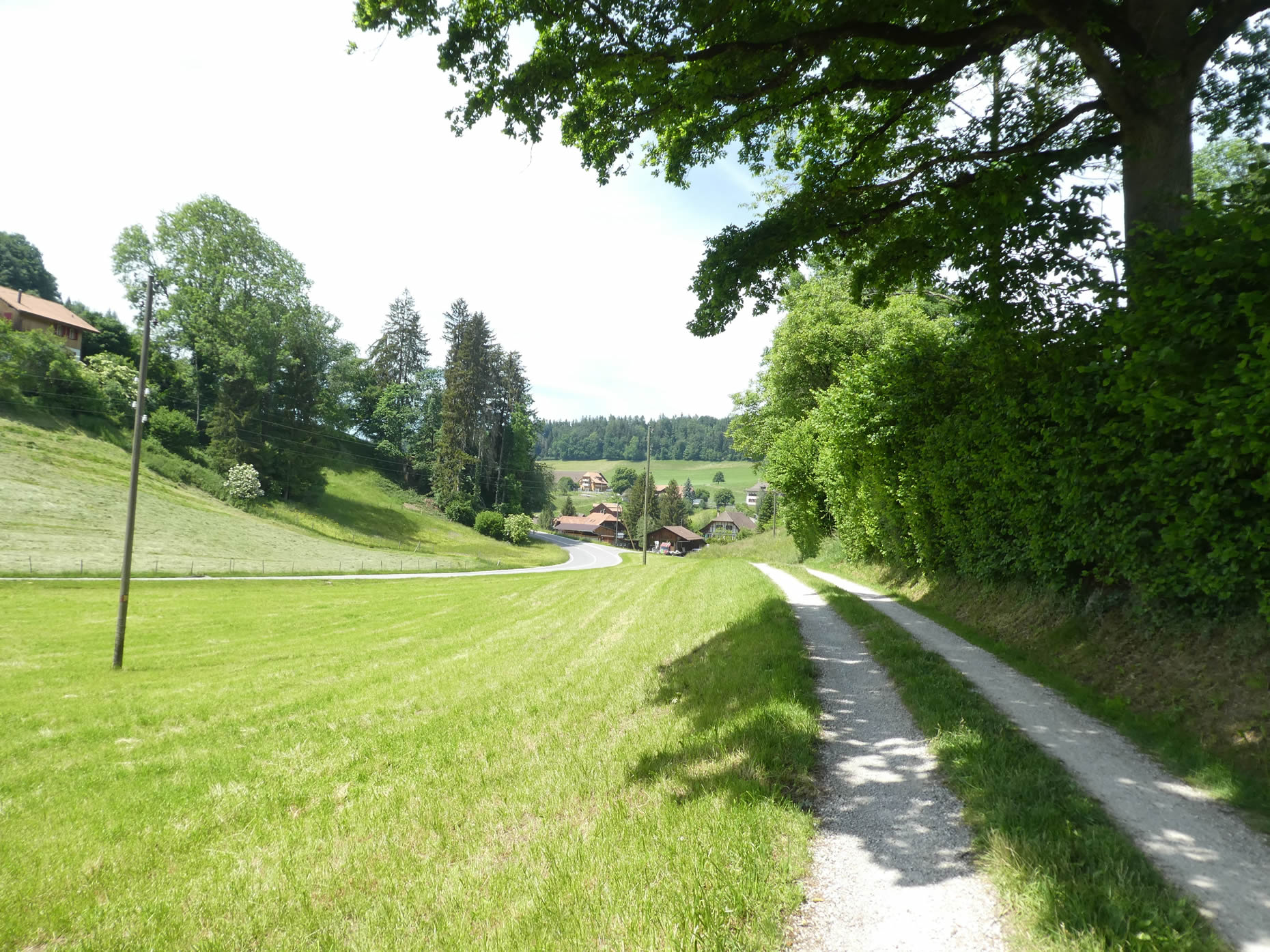
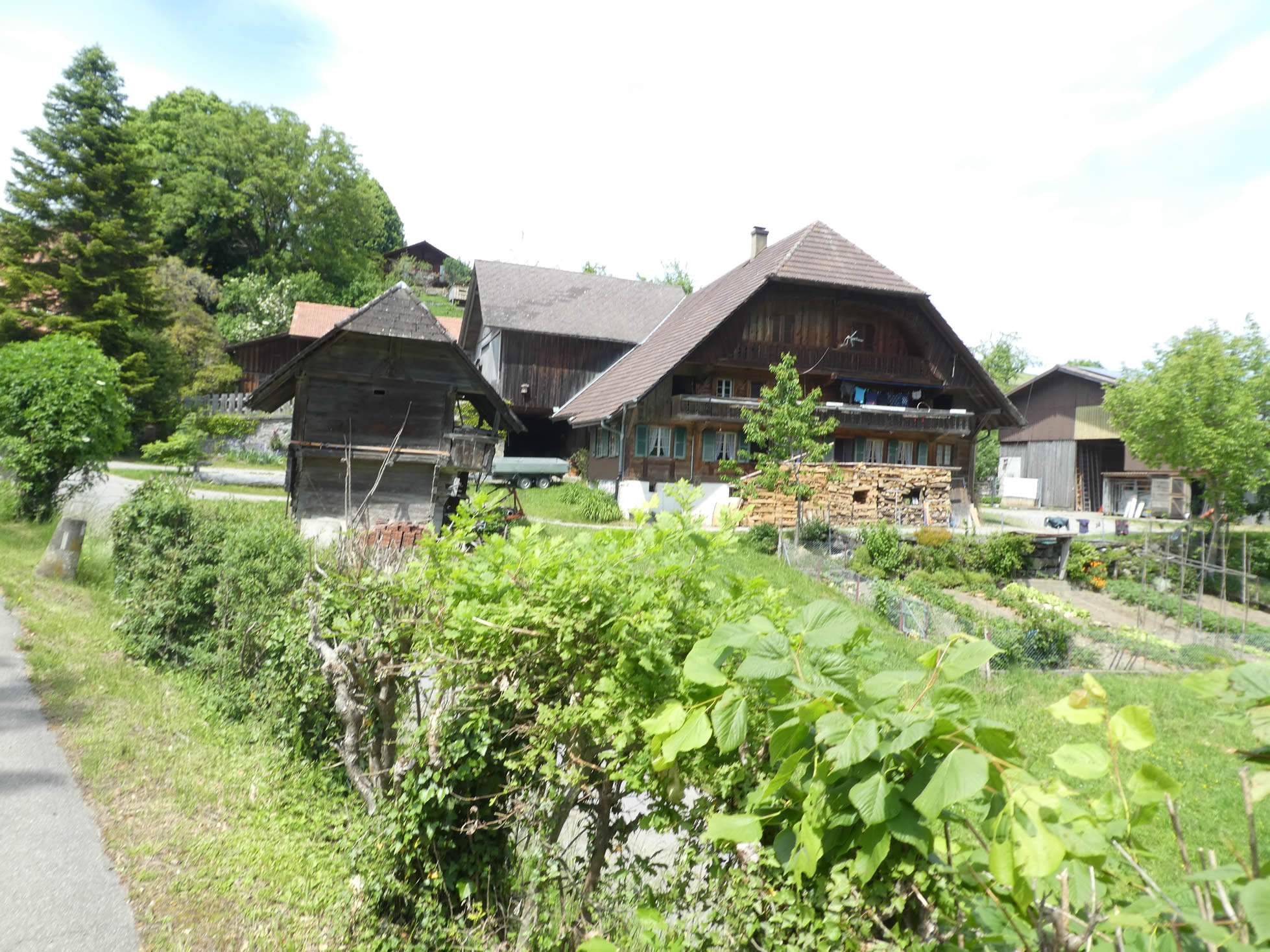
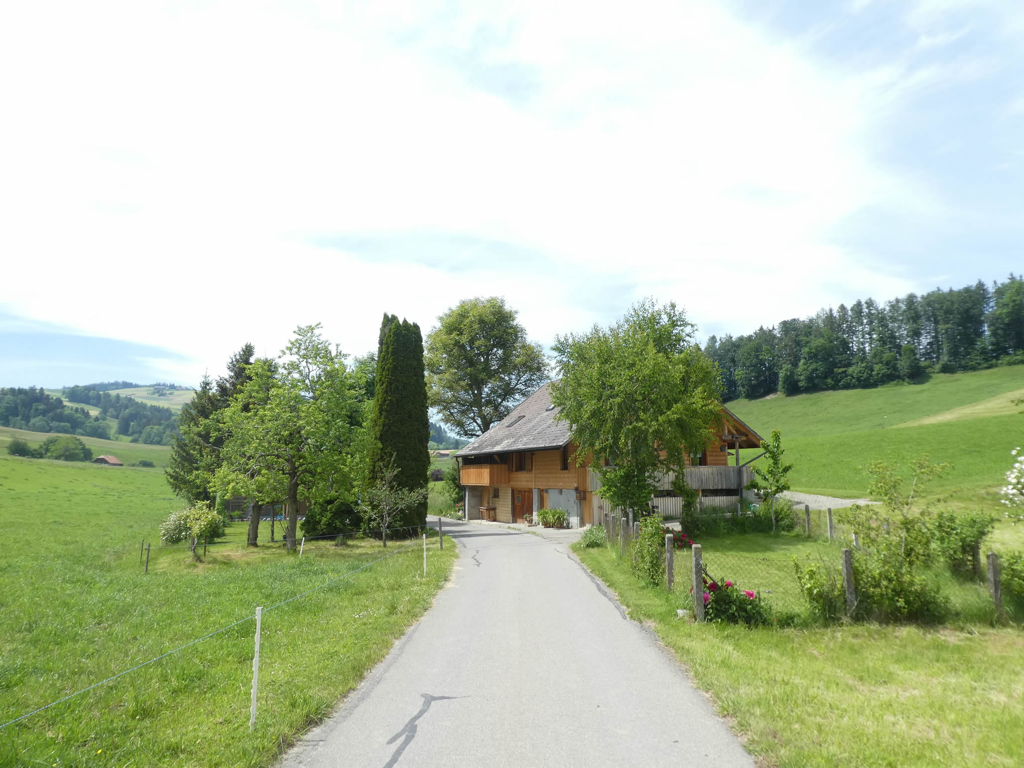
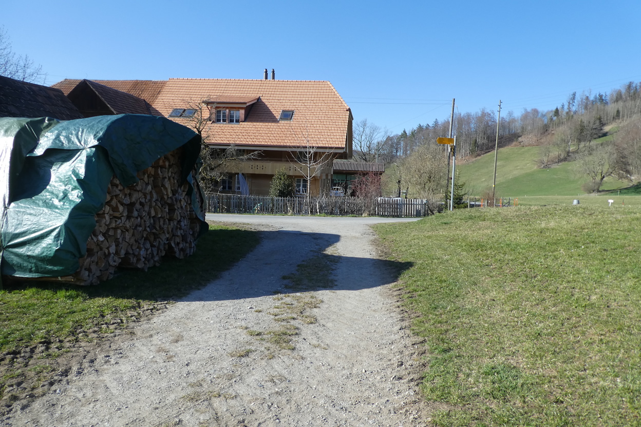
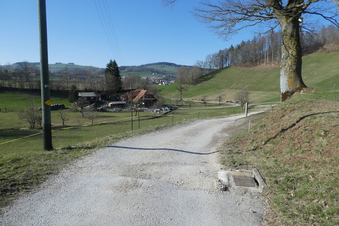
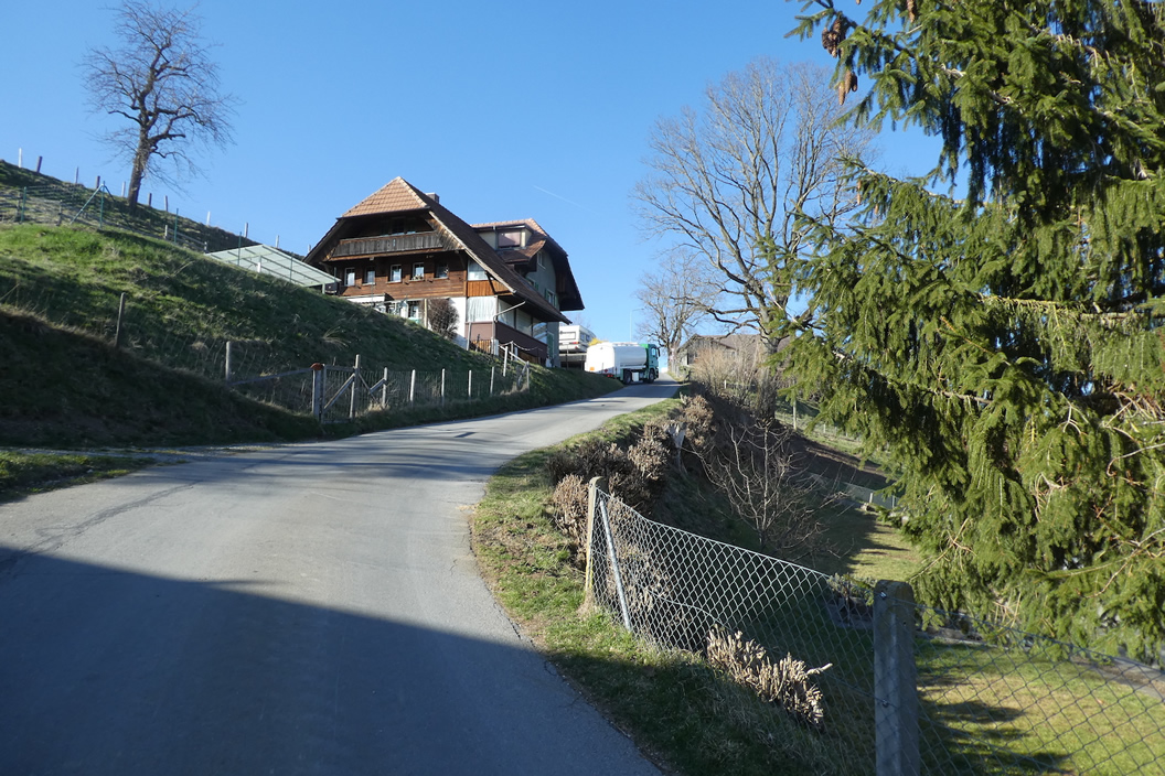
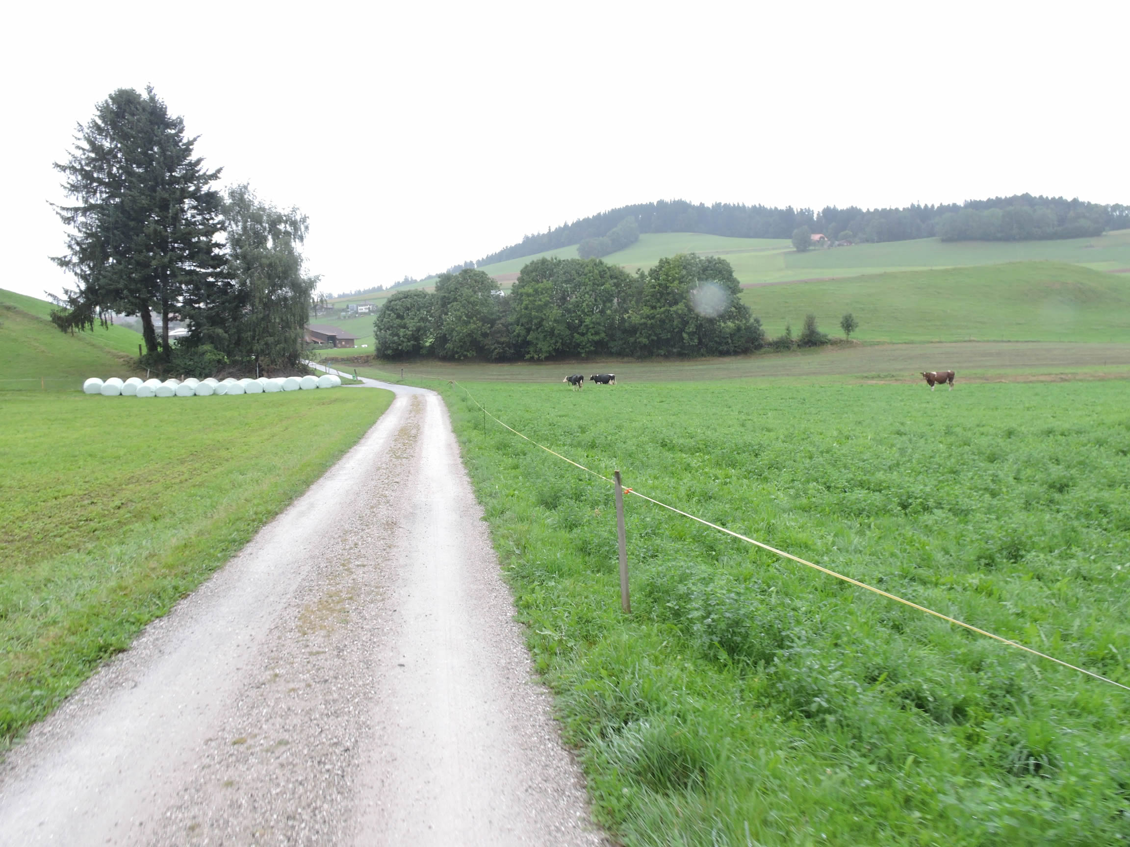
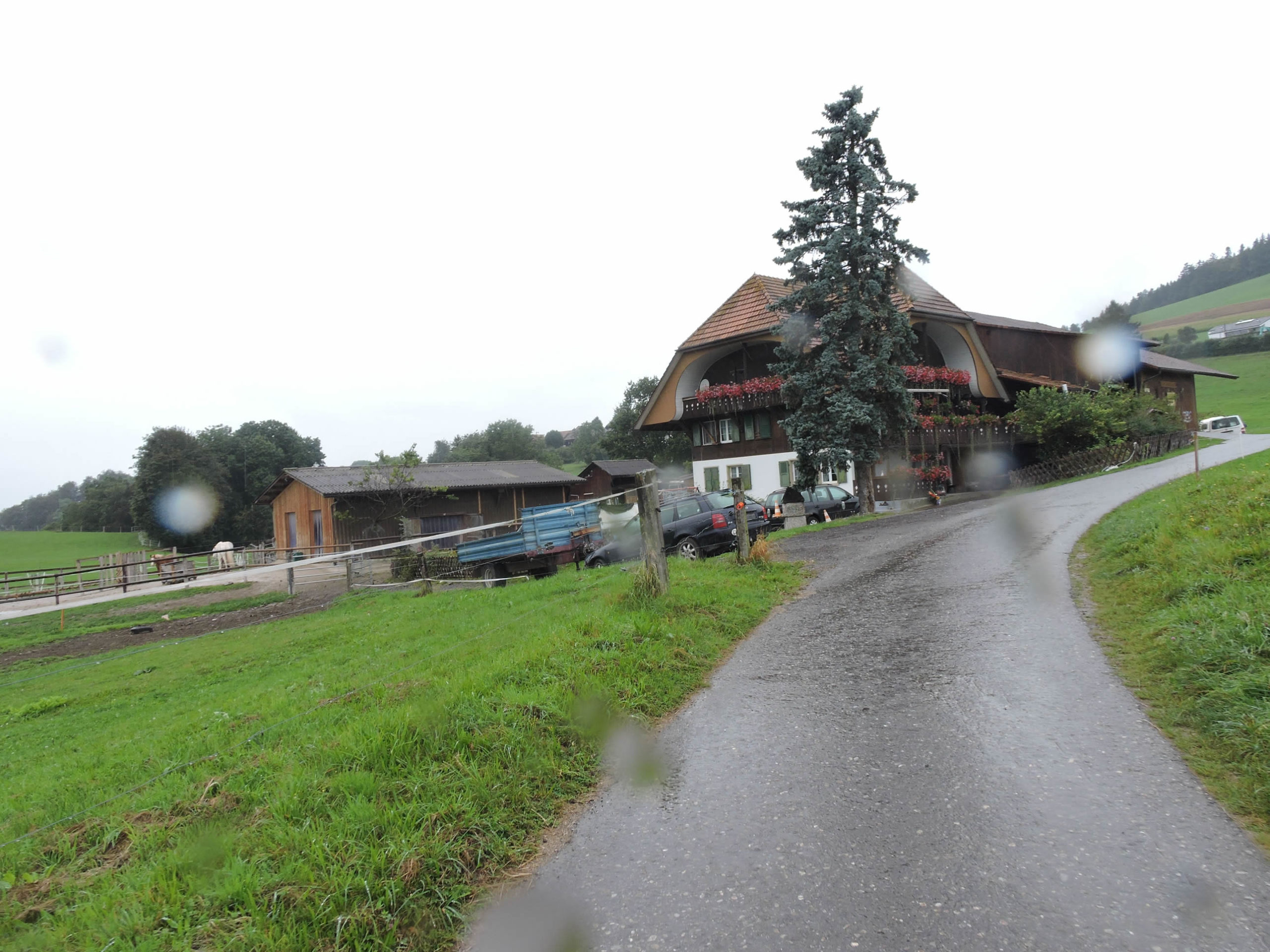
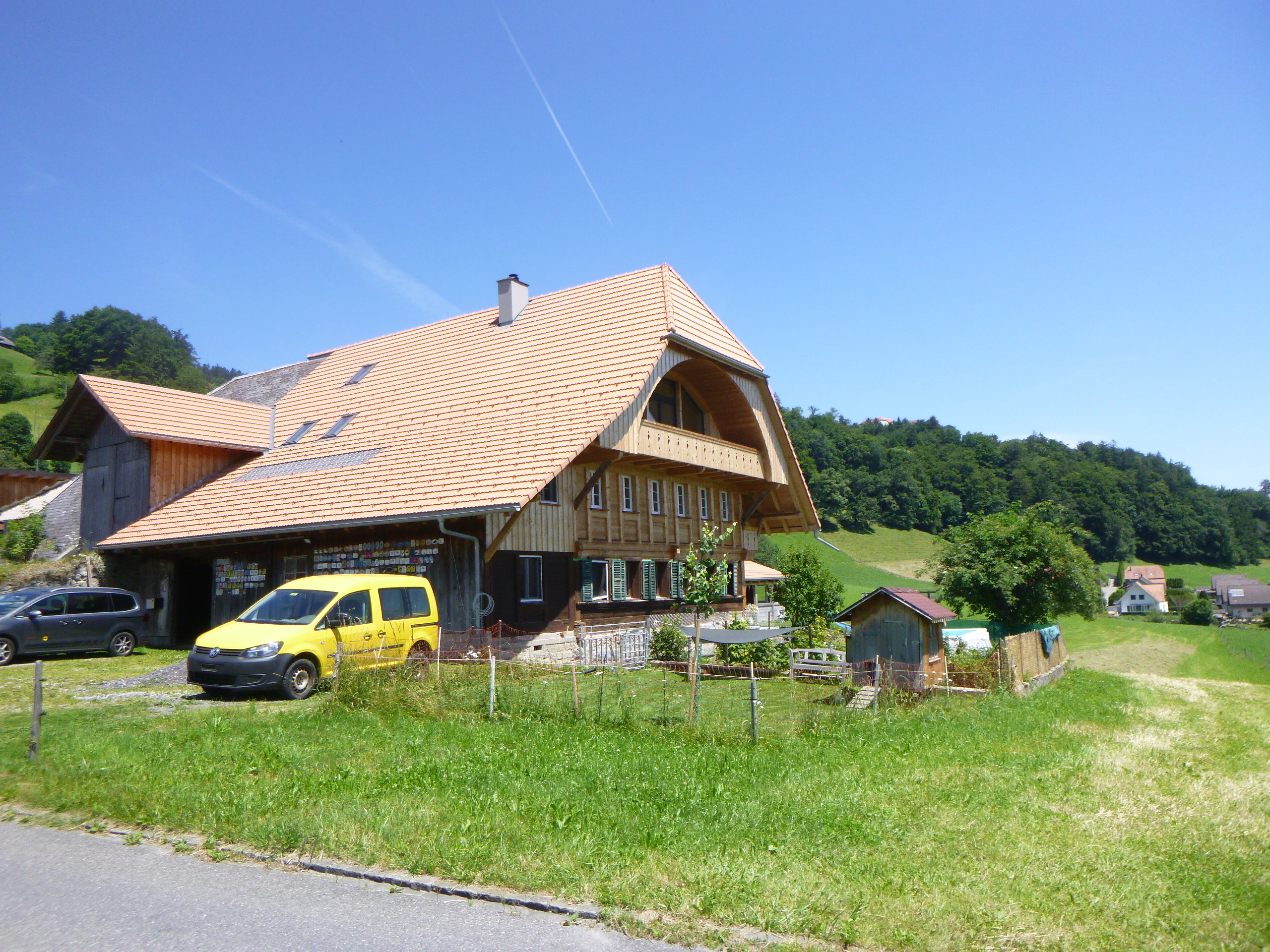
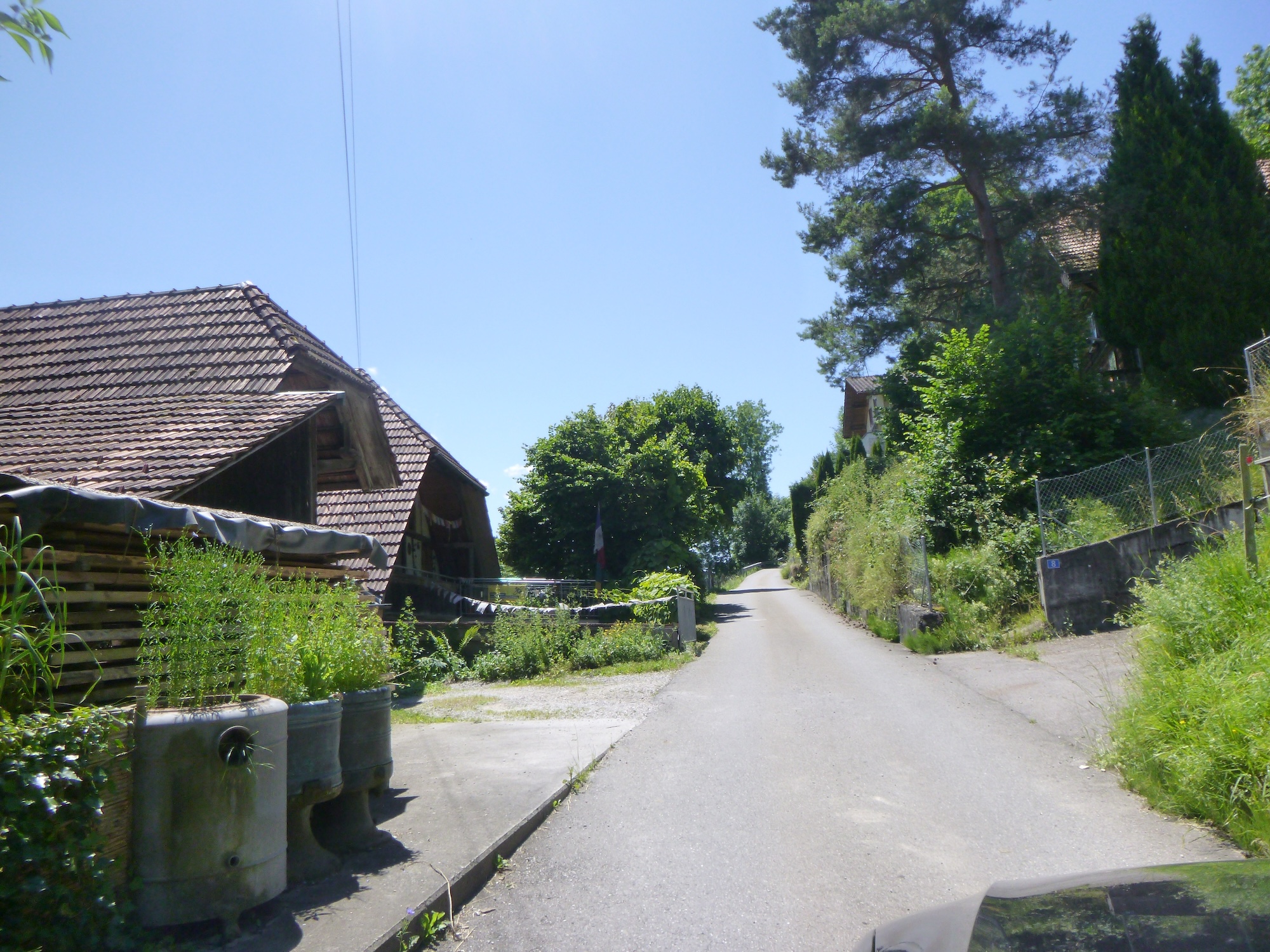
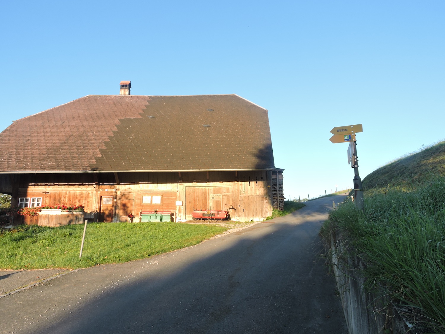
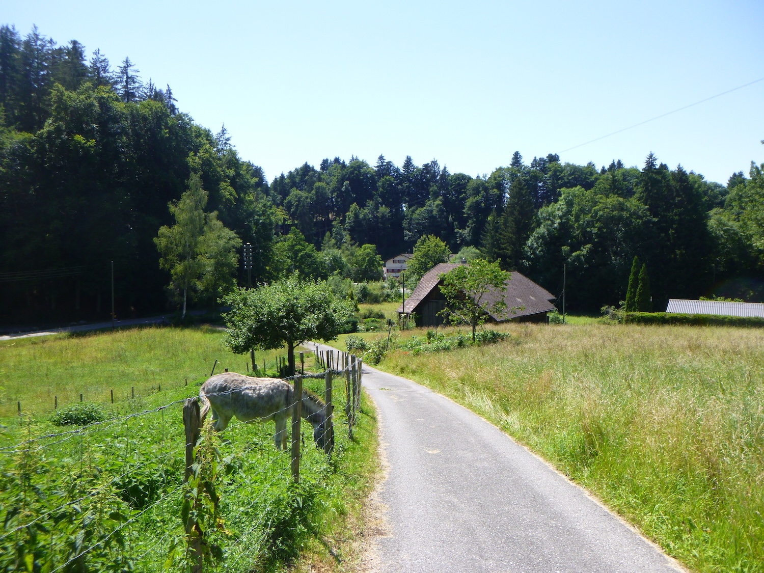
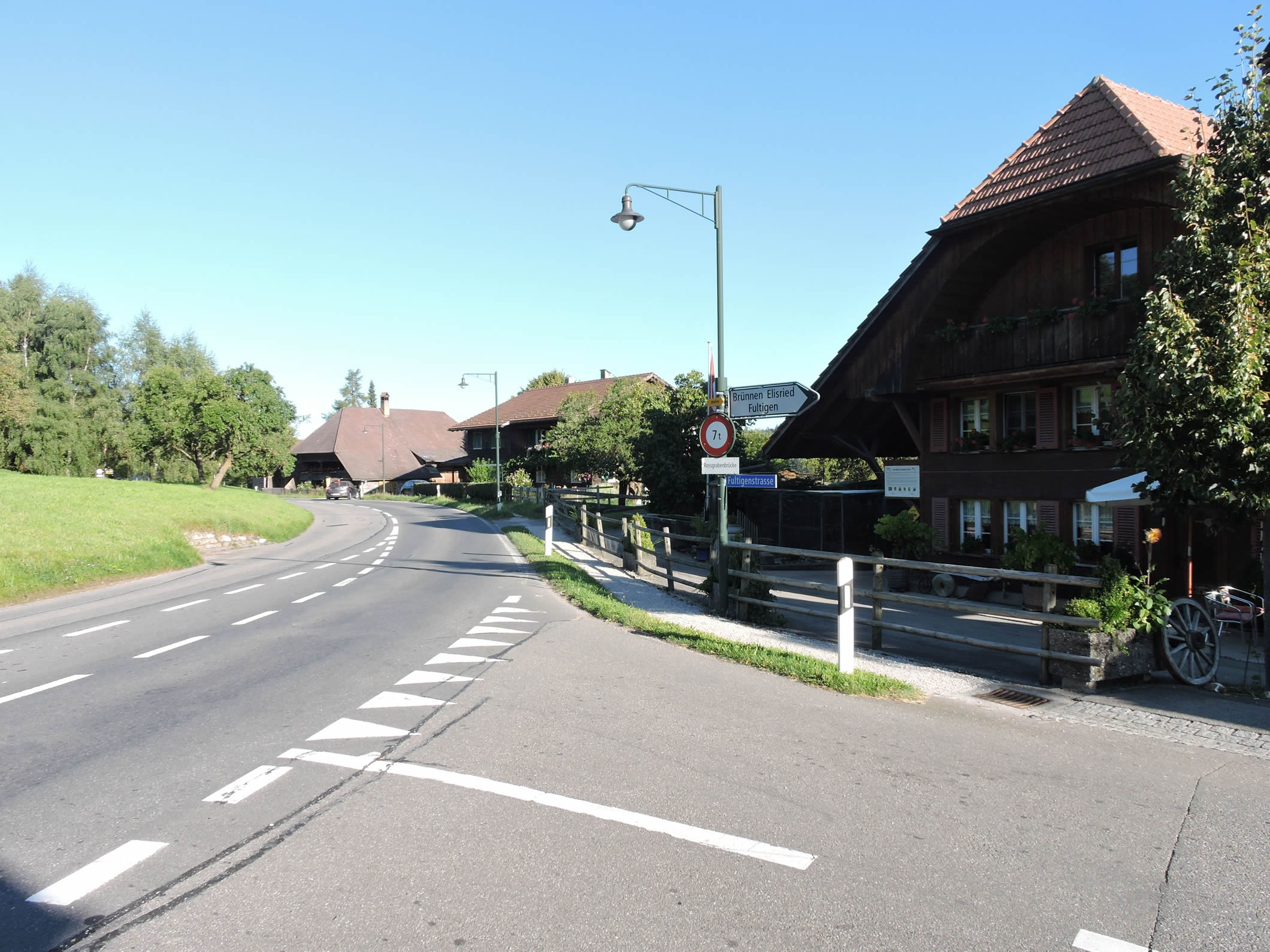
| The Via Jacobi continues along the road to Helgisried, where vast farms stand proudly, silent witnesses to an ancestral tradition. Here, every detail tells the story of a community deeply attached to its roots, sometimes with the trophies of competitions won by the owner. |
 |
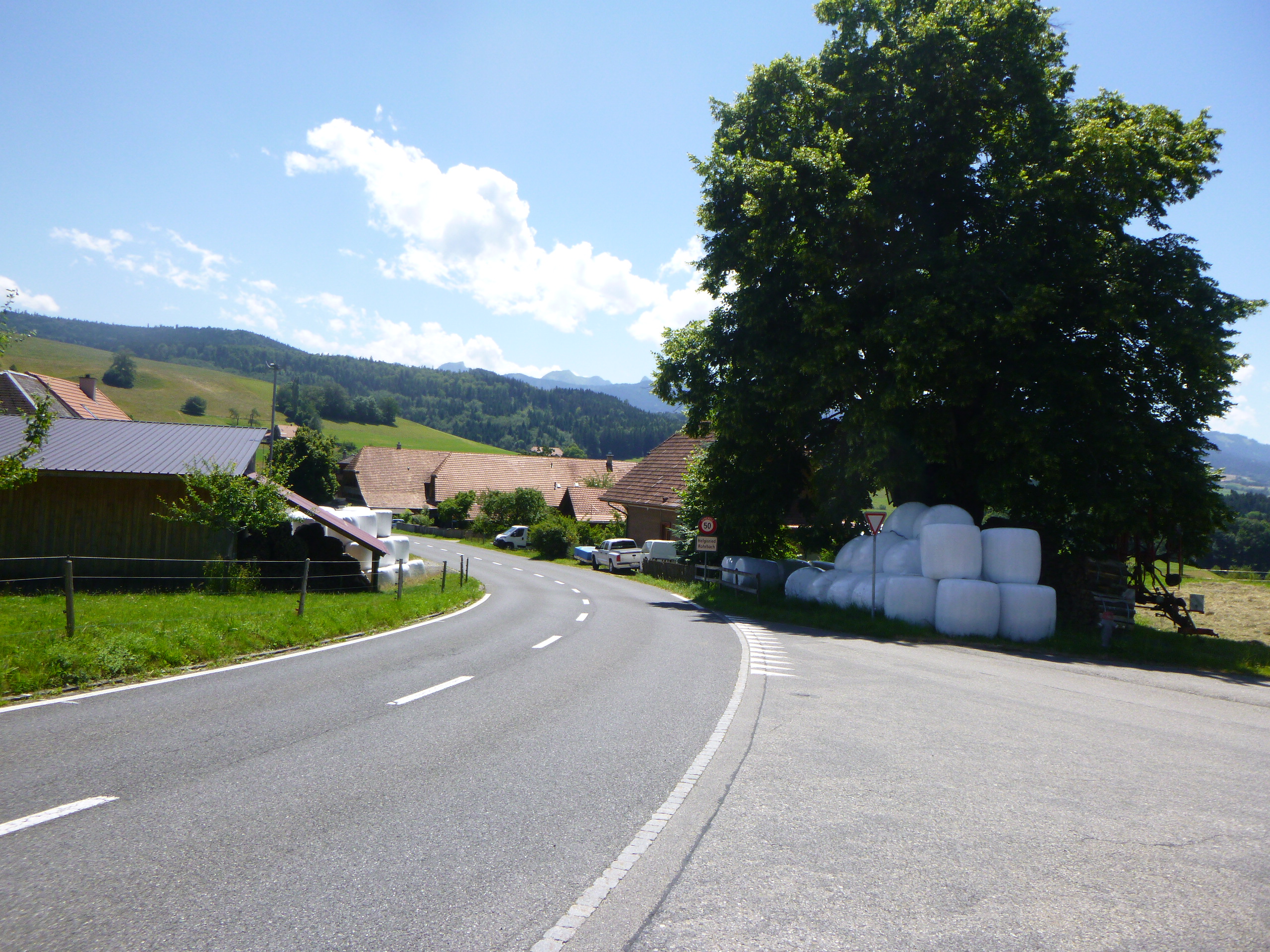 |
You are now 30 minutes from Wislisau, where you will find the Schwarwasser river.

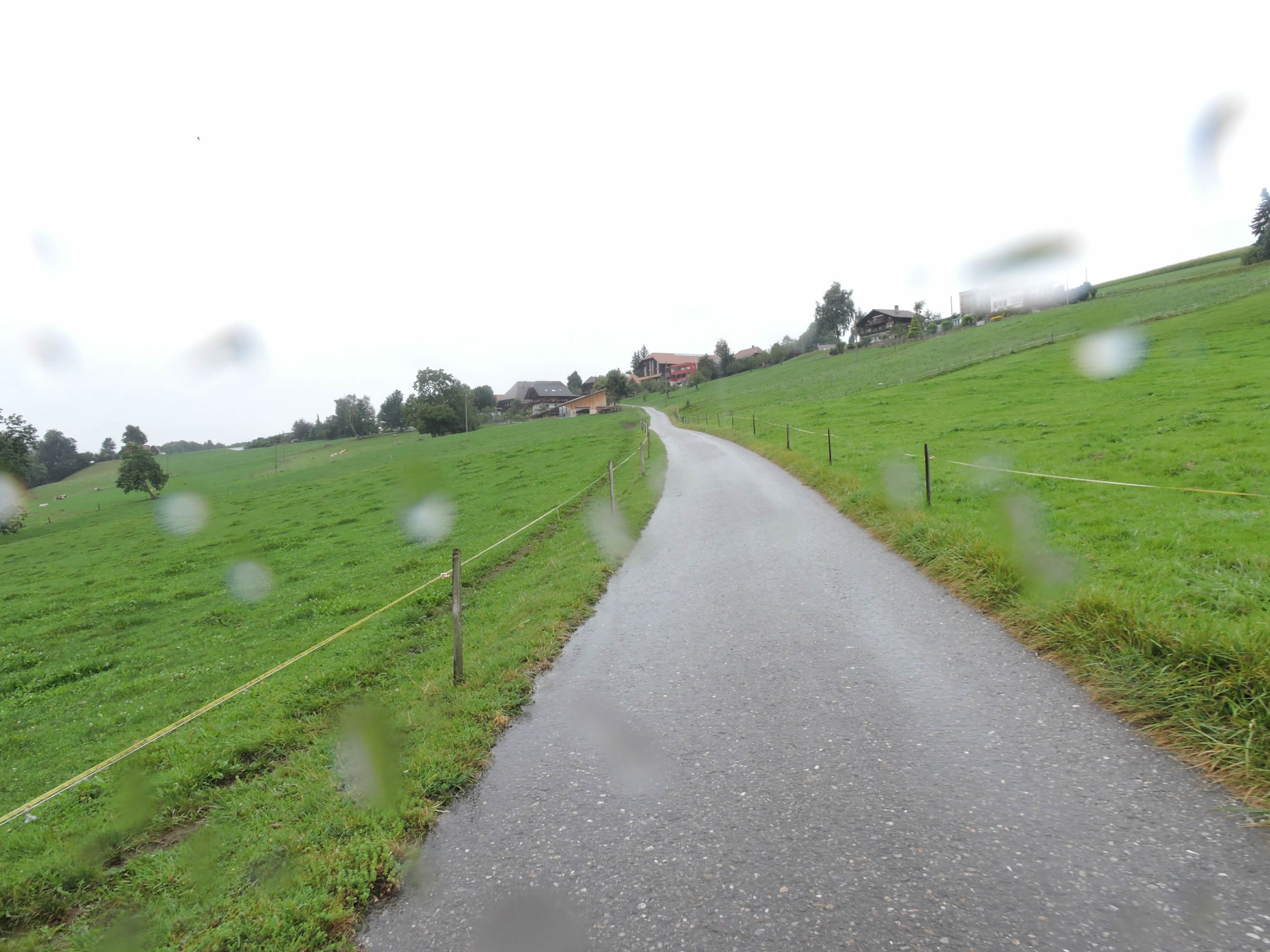
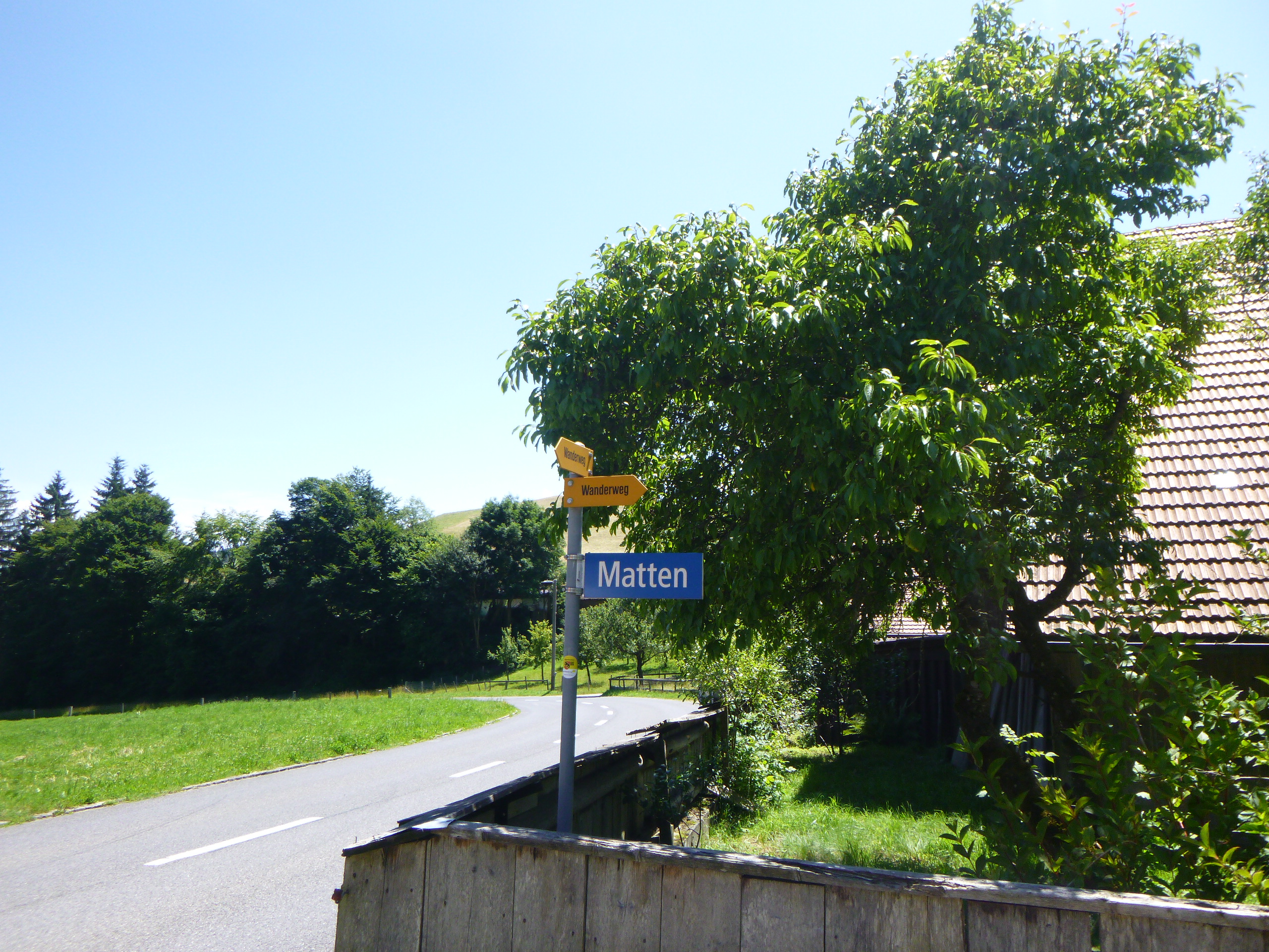
| At Hegelsried, around a majestic farm, the Via Jacobi takes a small road winding through the countryside towards the isolated hamlet of Matten. |
 |
 |
Section 4: A brief passage near the Schwarzwasser River

Overview of the route’s challenges: steep descent followed by a respite before climbing back up to the high plateau beyond the r.

|
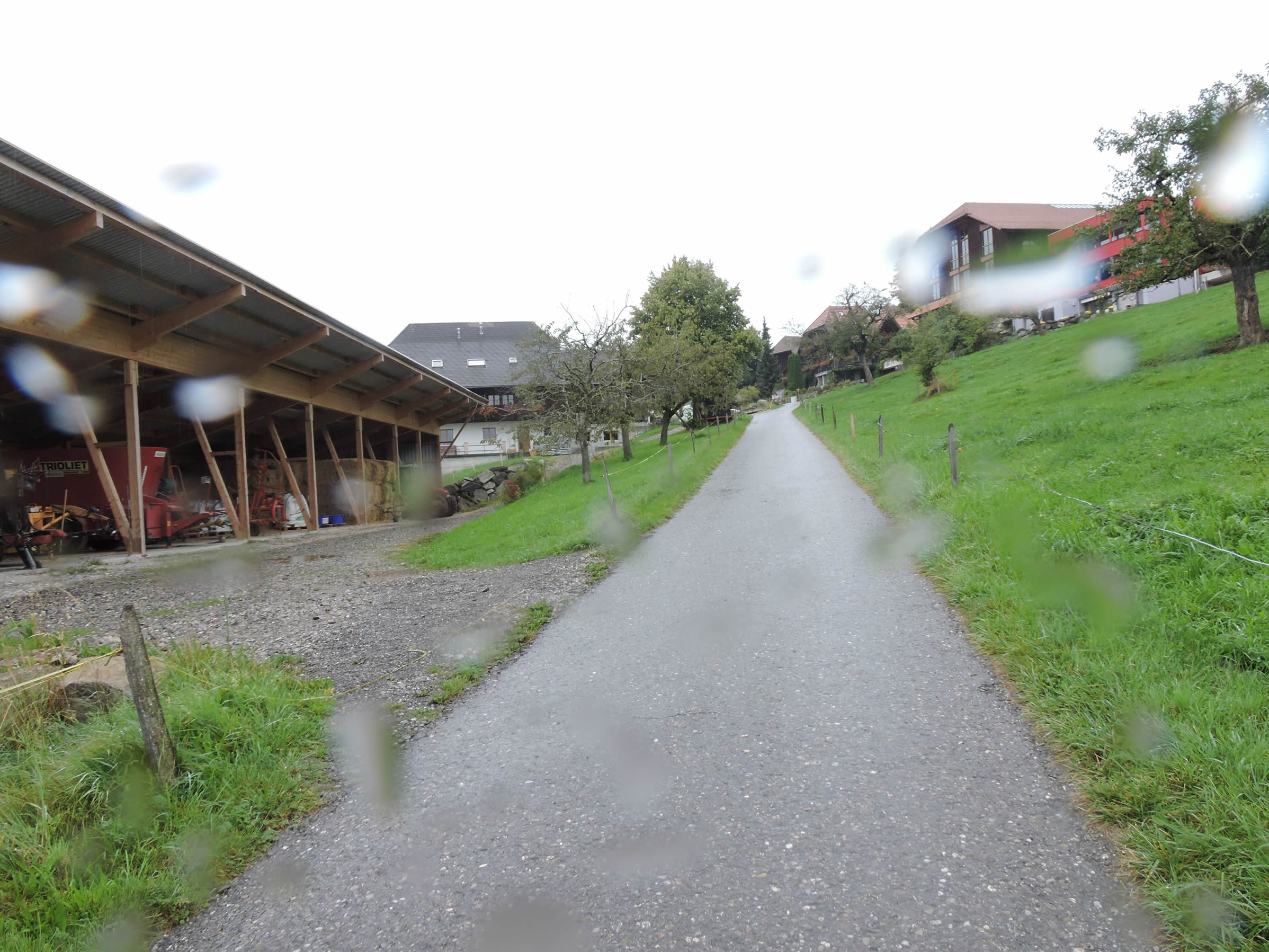
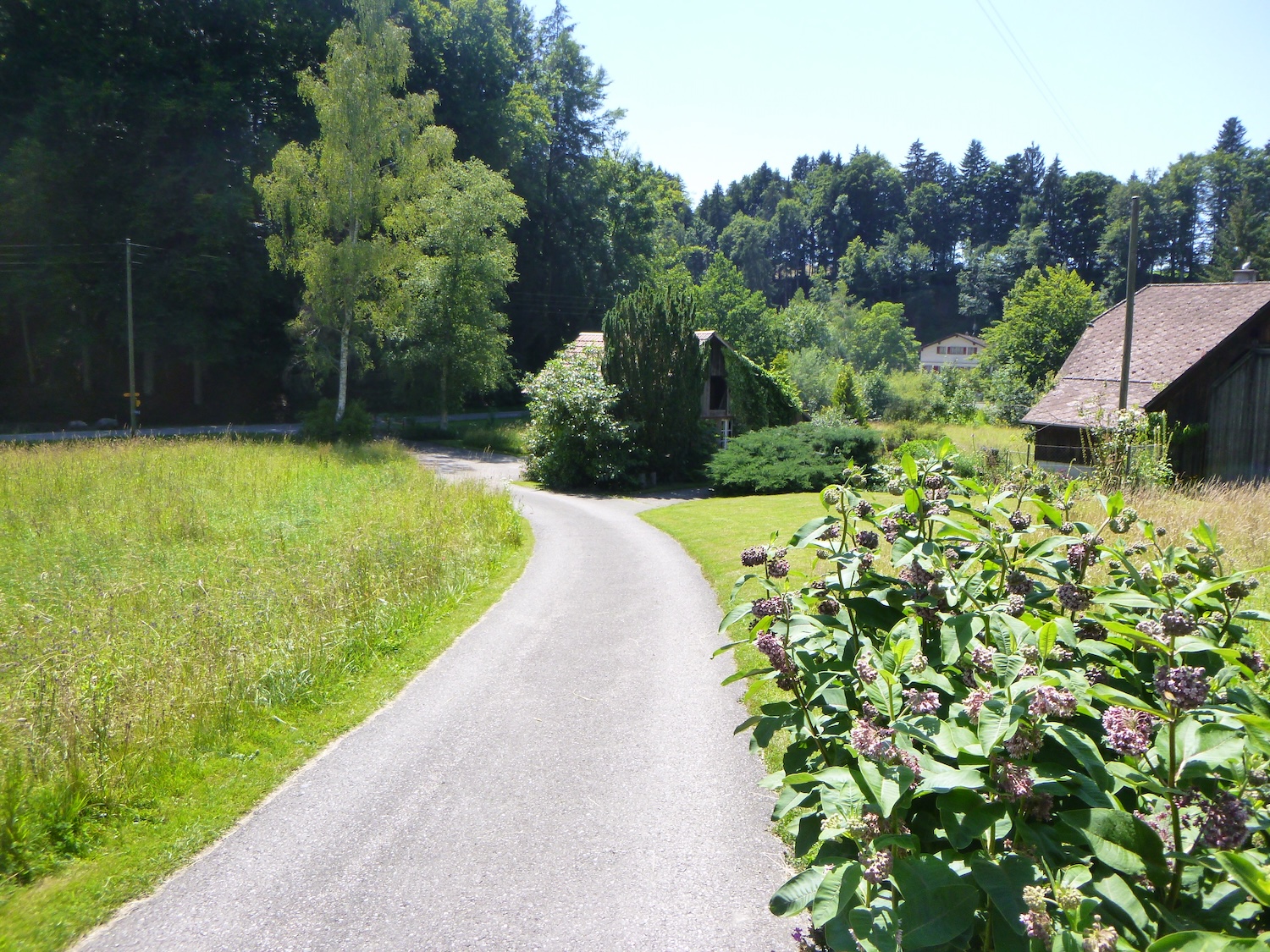
On the turn of a peaceful road winding through green meadows, a true bucolic painting of the Matten countryside unfolds.
|
 |
 |
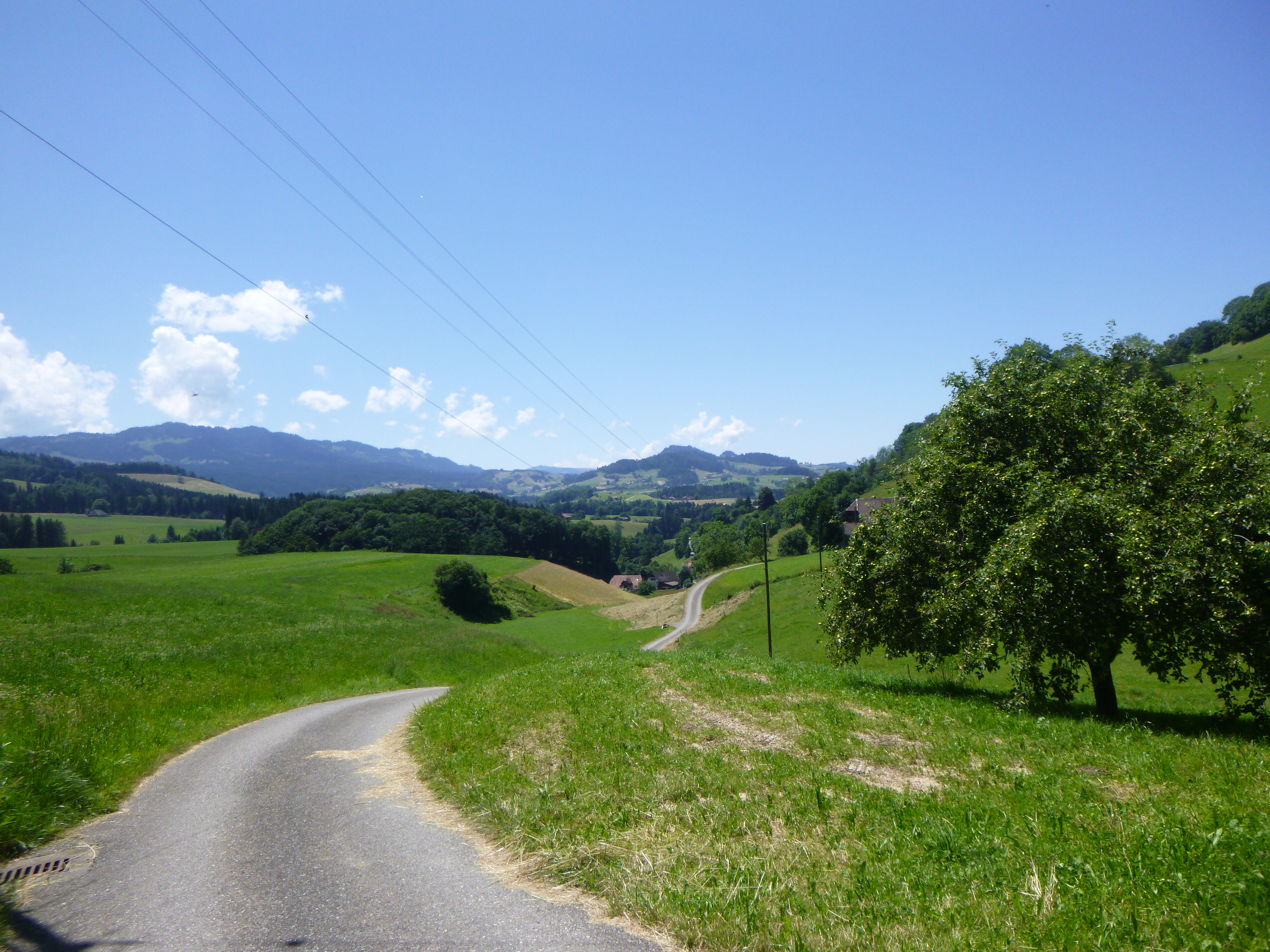
| Lower down, like a symphony of nature, the Via Jacobi detaches from the paved ribbon to venture into a ballet of wild grasses toward the Schwarzenburgstrasse, the main thread of this rural setting. In this landscape waltz, the path then heads toward the houses of Bühlstutz. The murmur of the cantonal road below accompanies their silhouette.
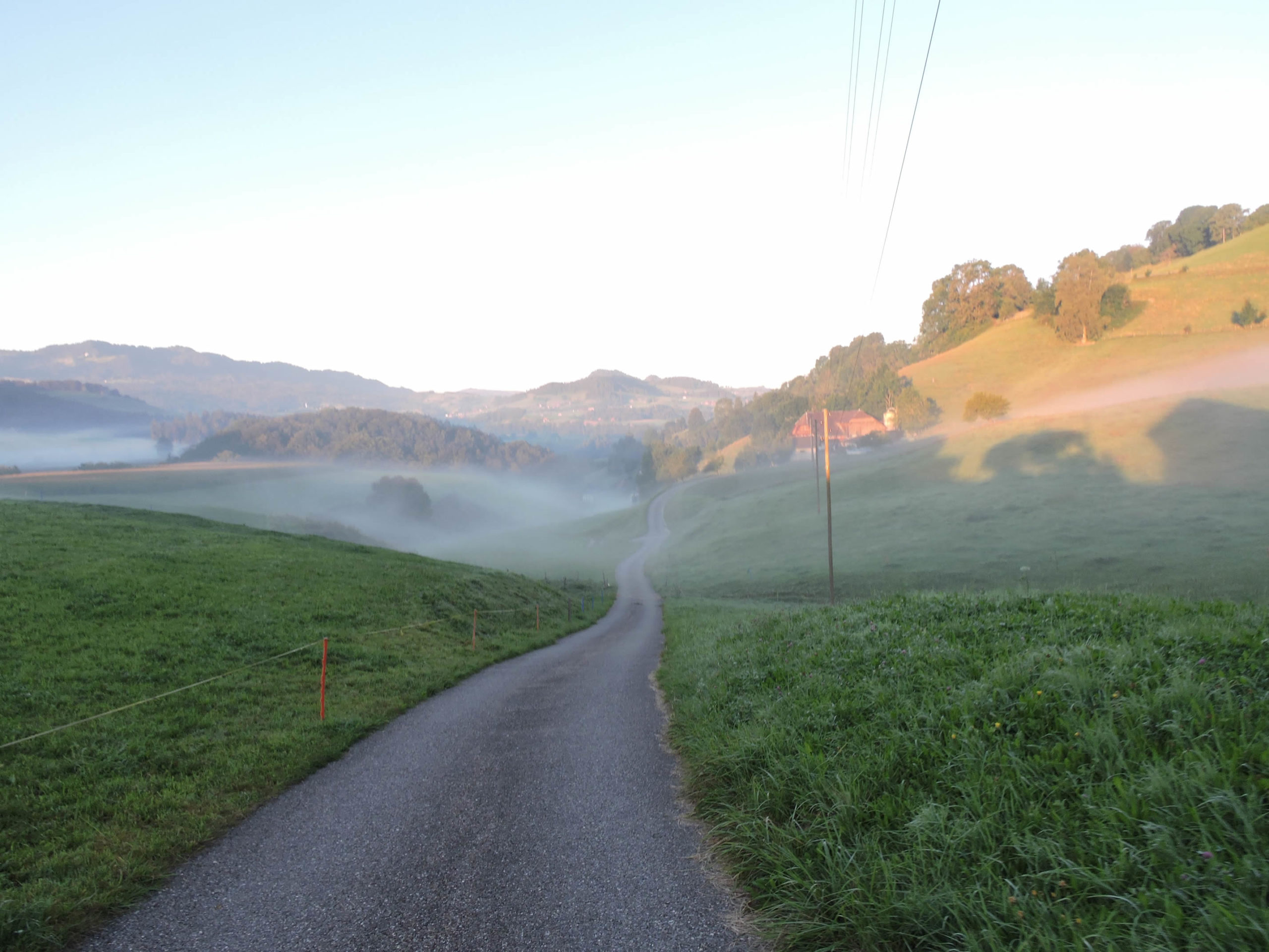
Here are a few autumn images bathed in phantasmagoric fog. |
 |
 |
| The houses of Bühlstutz, like pearls scattered along the edge of this ribbon of civilization, are drawn with touching simplicity against the backdrop of the surrounding nature. A school, which must bring together children from neighboring hamlets, completes the scene. |
 |
 |
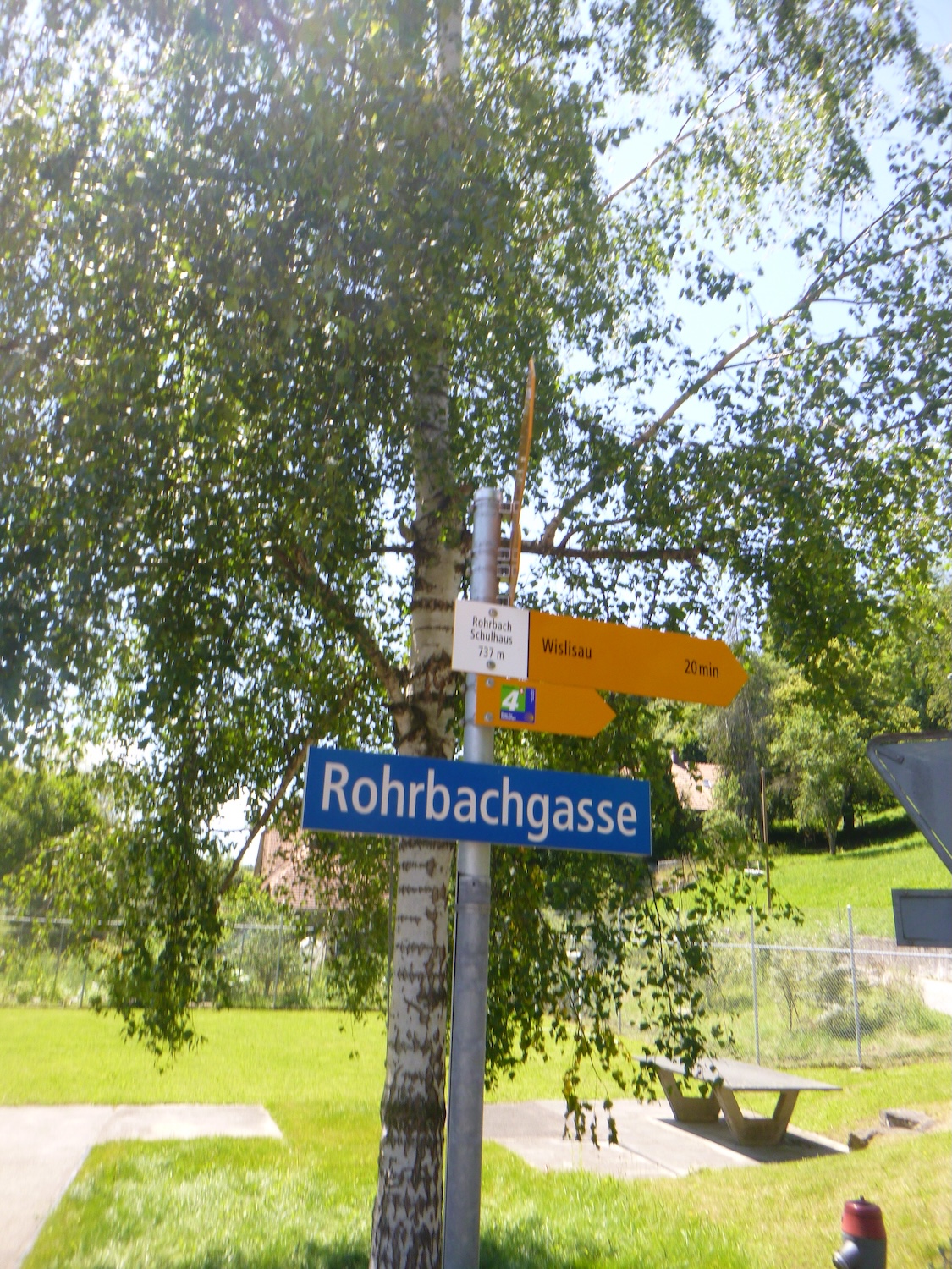
| Then, like a poem in motion, the Via Jacobi, faithful to its whimsical destiny, escapes once again, taking a less-traveled road, like a dancer twirling toward the heights where the hamlet of Rohrbach calls it. |
 |
 |
| The ascent, steep but fleeting, reveals both the effort and the reward in a single breath. |
 |
 |
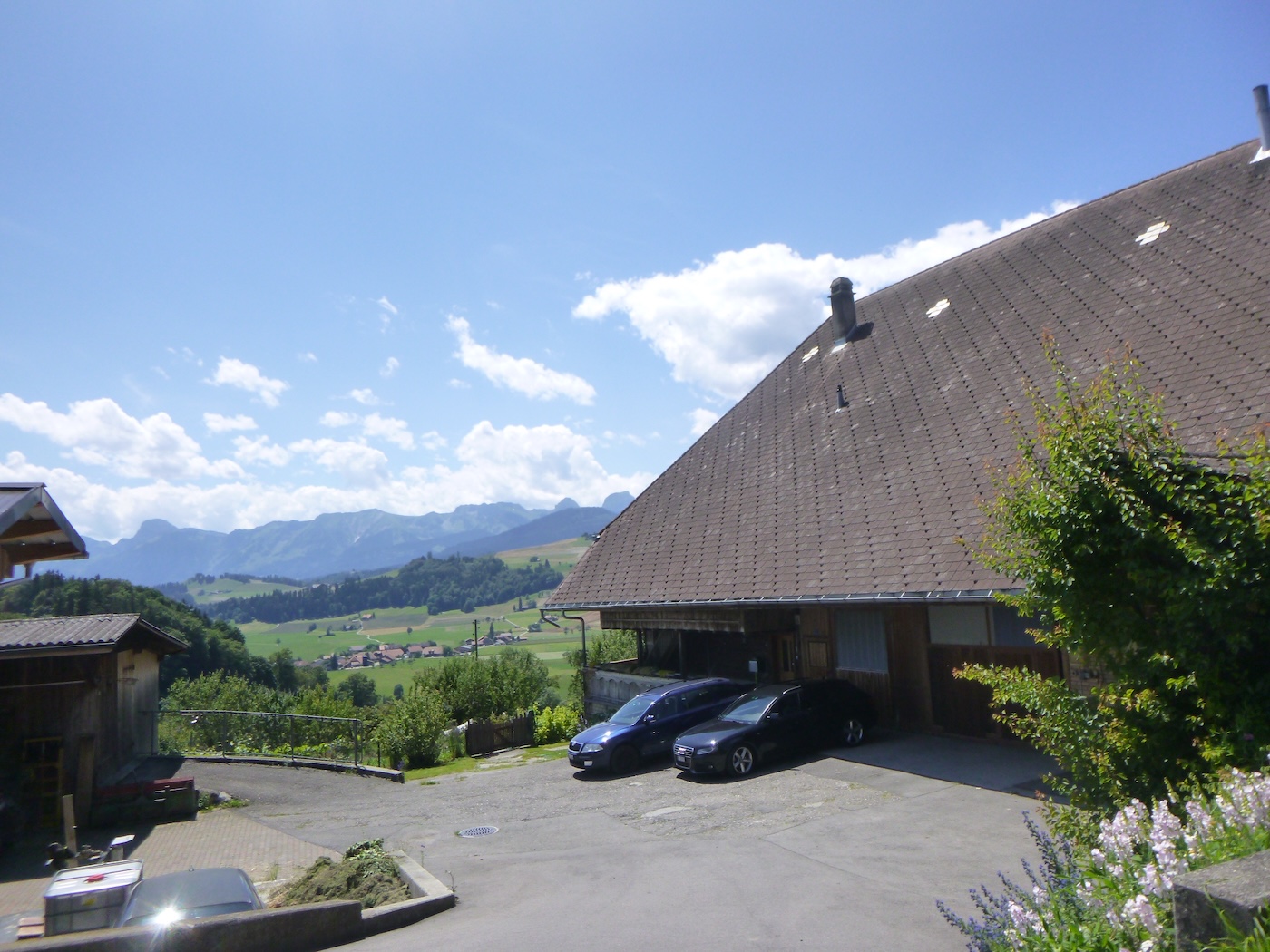
| Today, the first rays of the sun caress the hillsides. Above the cantonal road, the ascent, as abrupt as it may be, reveals the raw beauty of this preserved landscape. The farms, oases of life in this wild setting, emerge like sentinels, occupying a space that nonetheless appears limited. |
 |
 |
| The road climbs even higher, past the farms, but the route decides to descend back into the plain, first on the asphalt. |
 |
 |
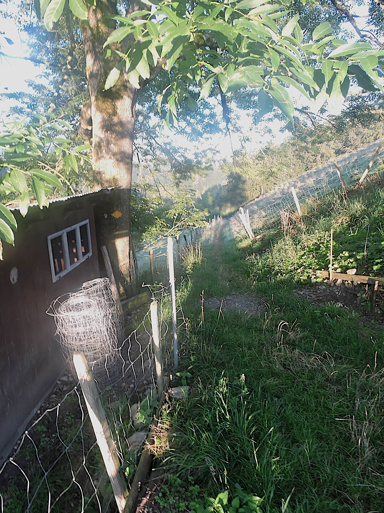
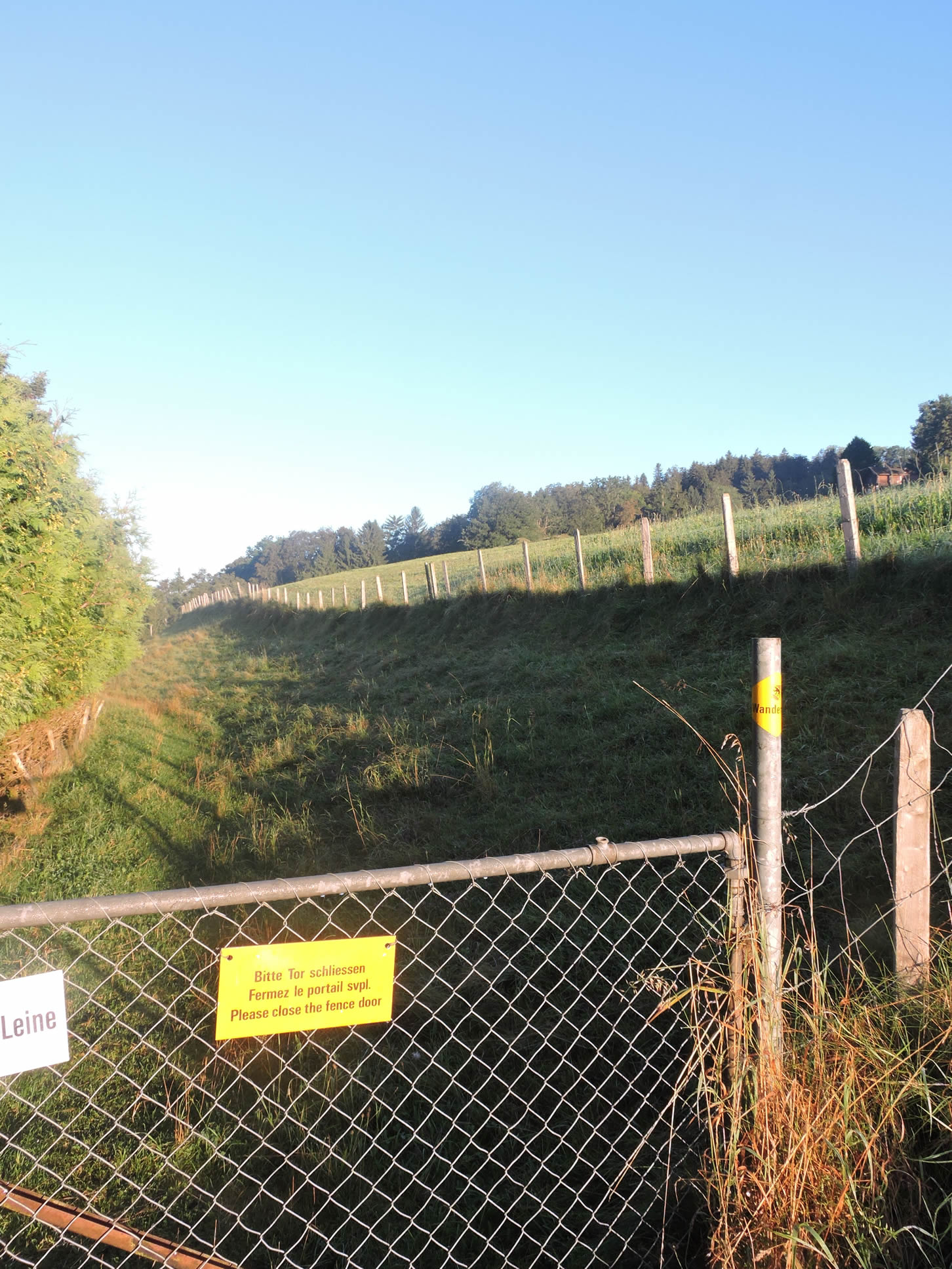
| Then, through the meadows, a path sneaks, gracefully crossing the fences that punctuate its way, like gates to the unknown, barriers meant to contain the livestock’s tumult. |
 |
 |
| At Sagi, the path reconnects with the cantonal road, allowing travelers to contemplate the rustic charm of the Schwarzenburgstrasse, near which stands a jewel of a patrician farm. |
 |
 |

| The Grüenibach still murmurs its secrets, a natural melody in this enclosed valley vibrant with life and mystery. |
 |
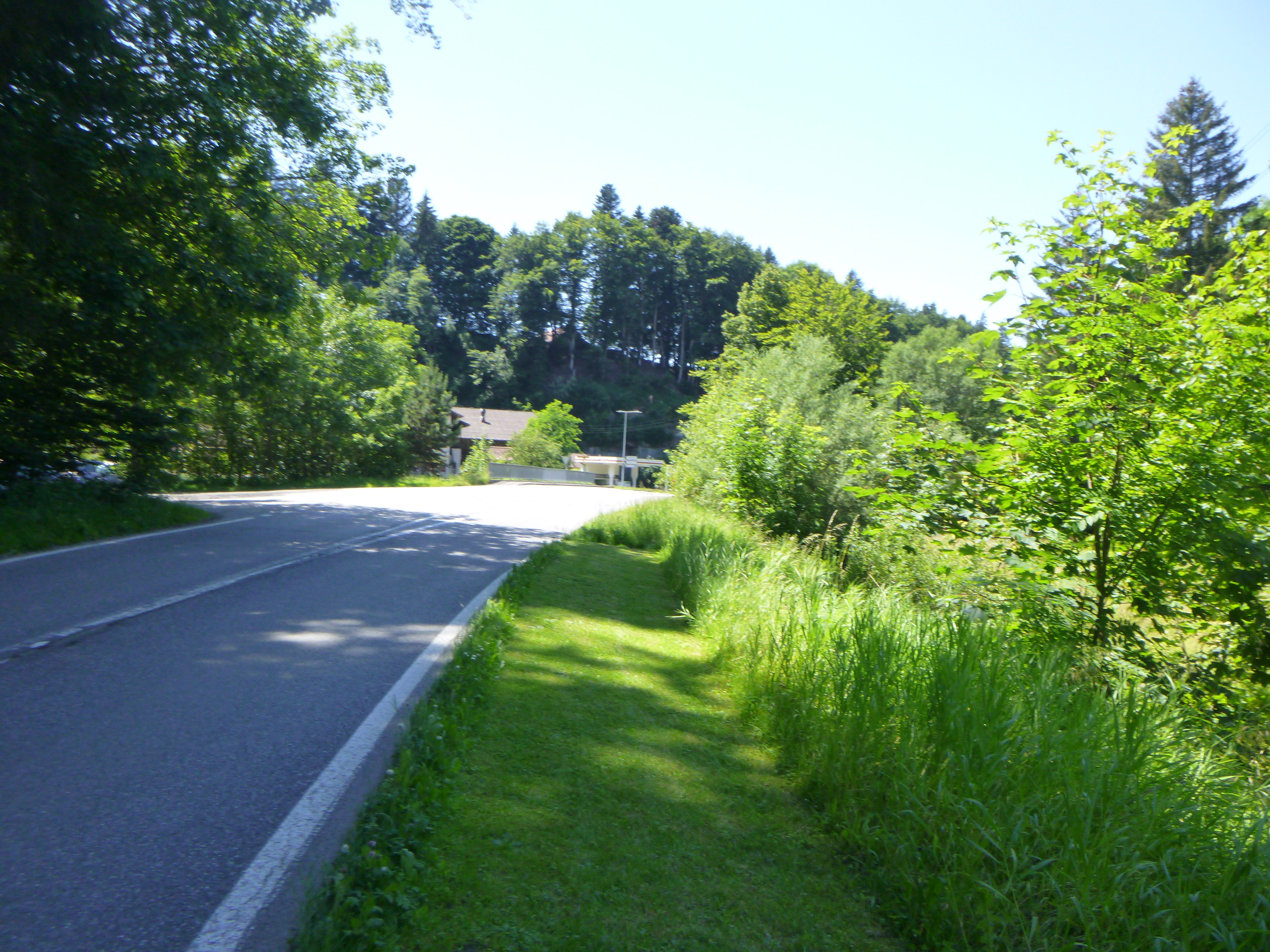 |
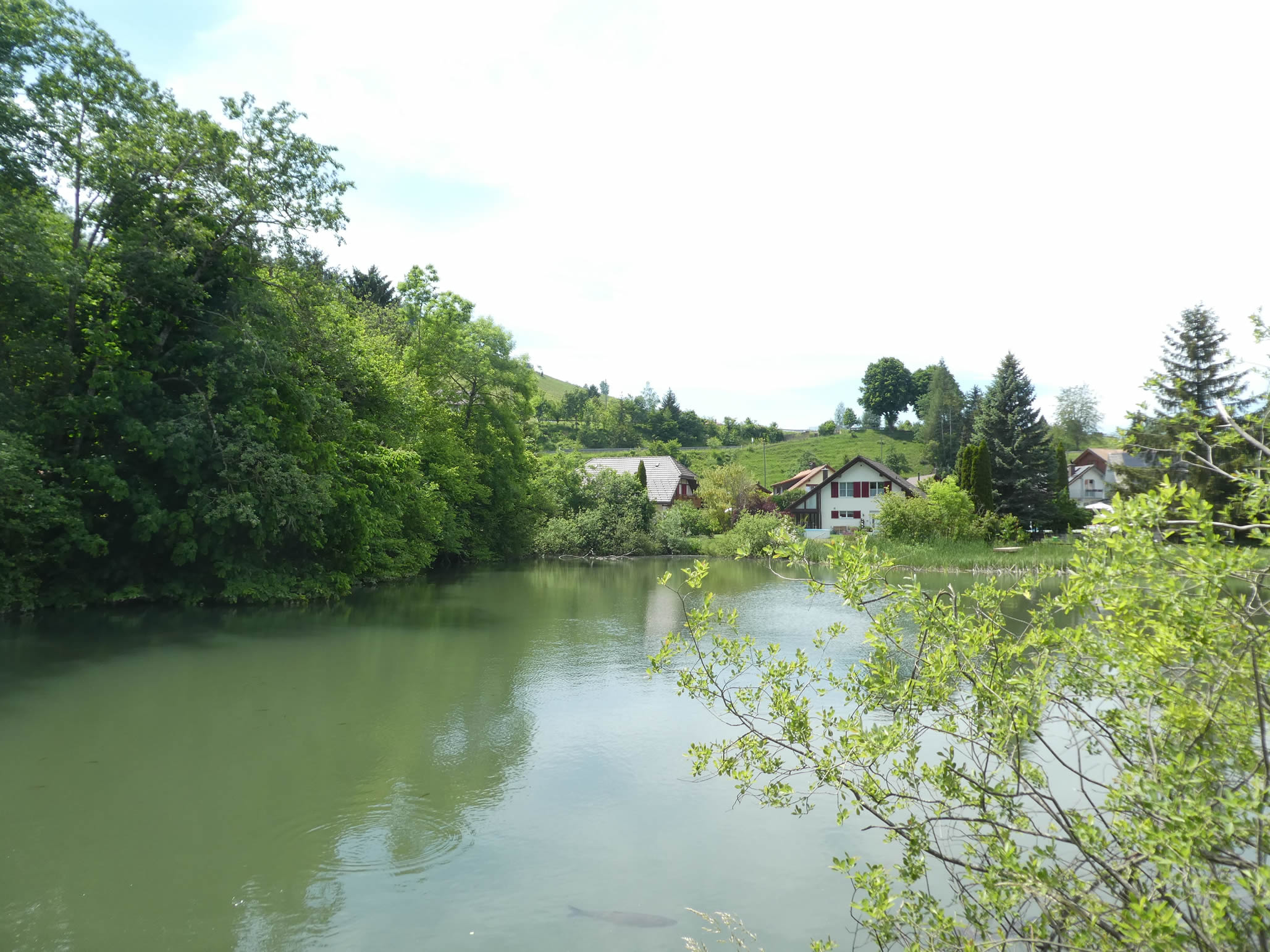
| The road quickly arrives at Wislisau. It’s here that a true hidden gem of this enclosed valley reveals itself: a restaurant where locals gather, a real haven of conviviality in the heart of nature. The soft melody of the river accompanies conversations and clinking forks. |
 |
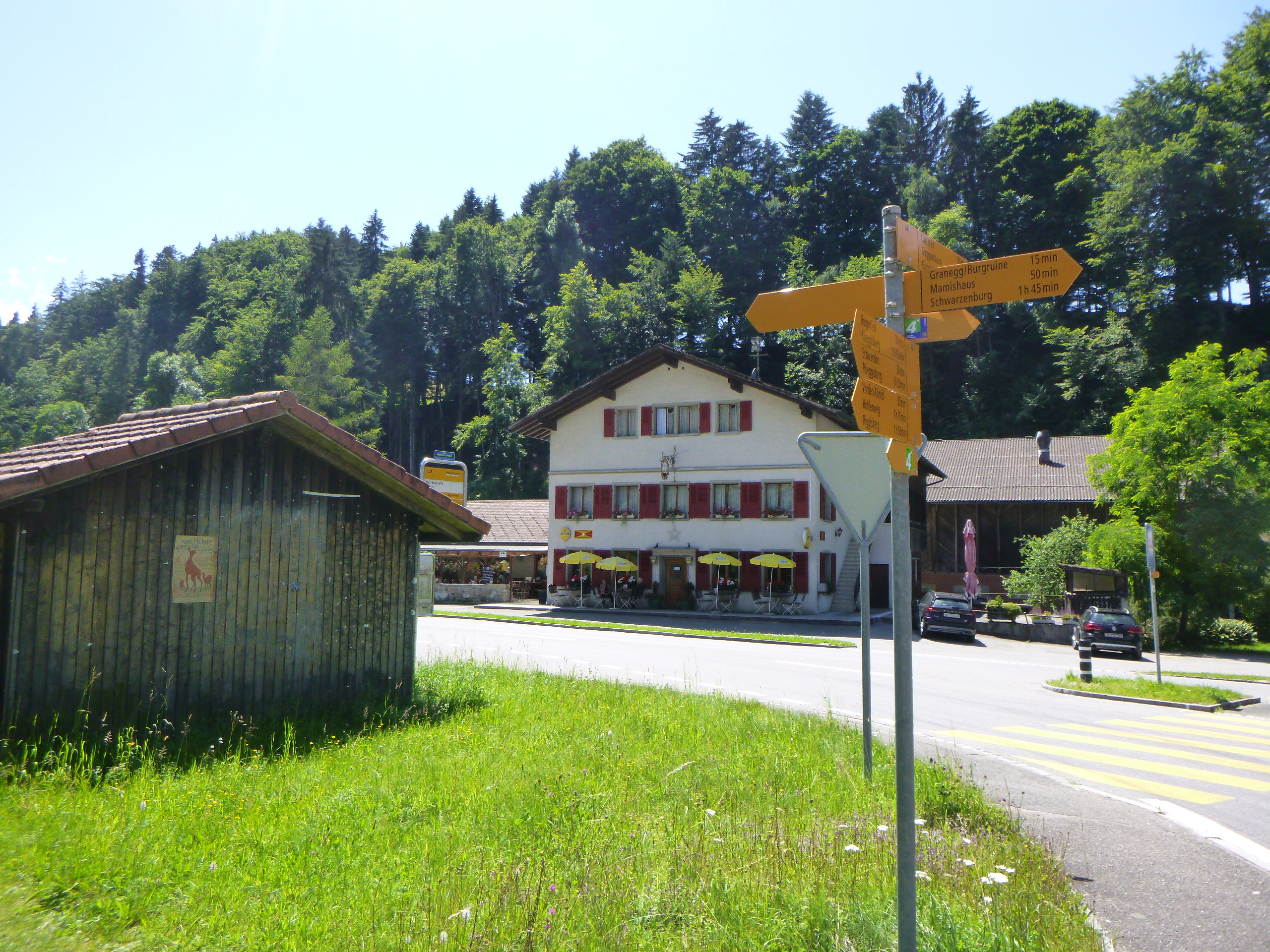 |
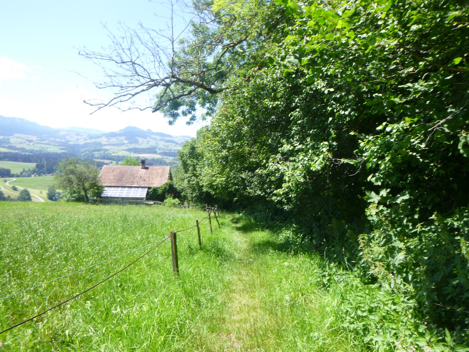
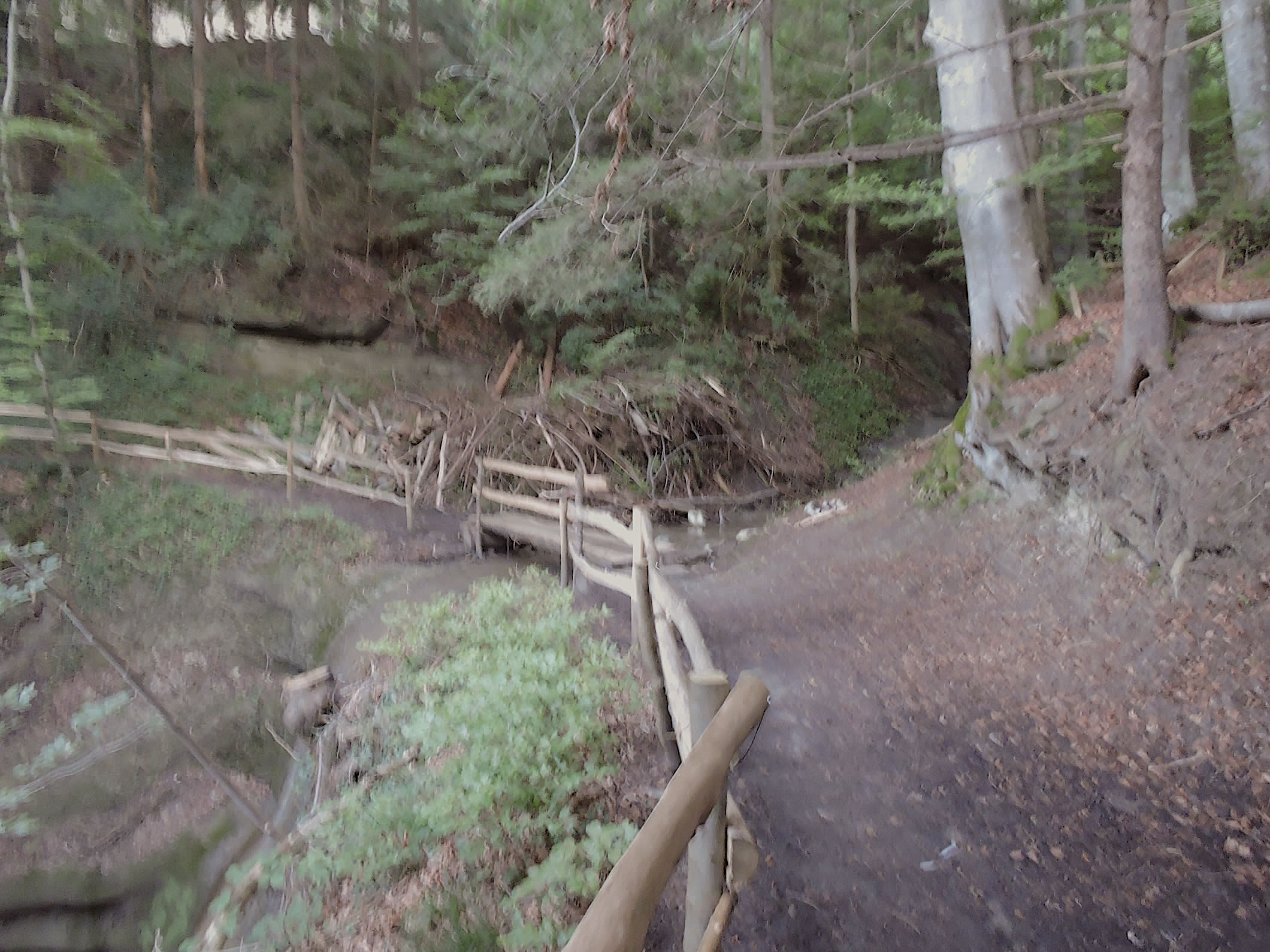
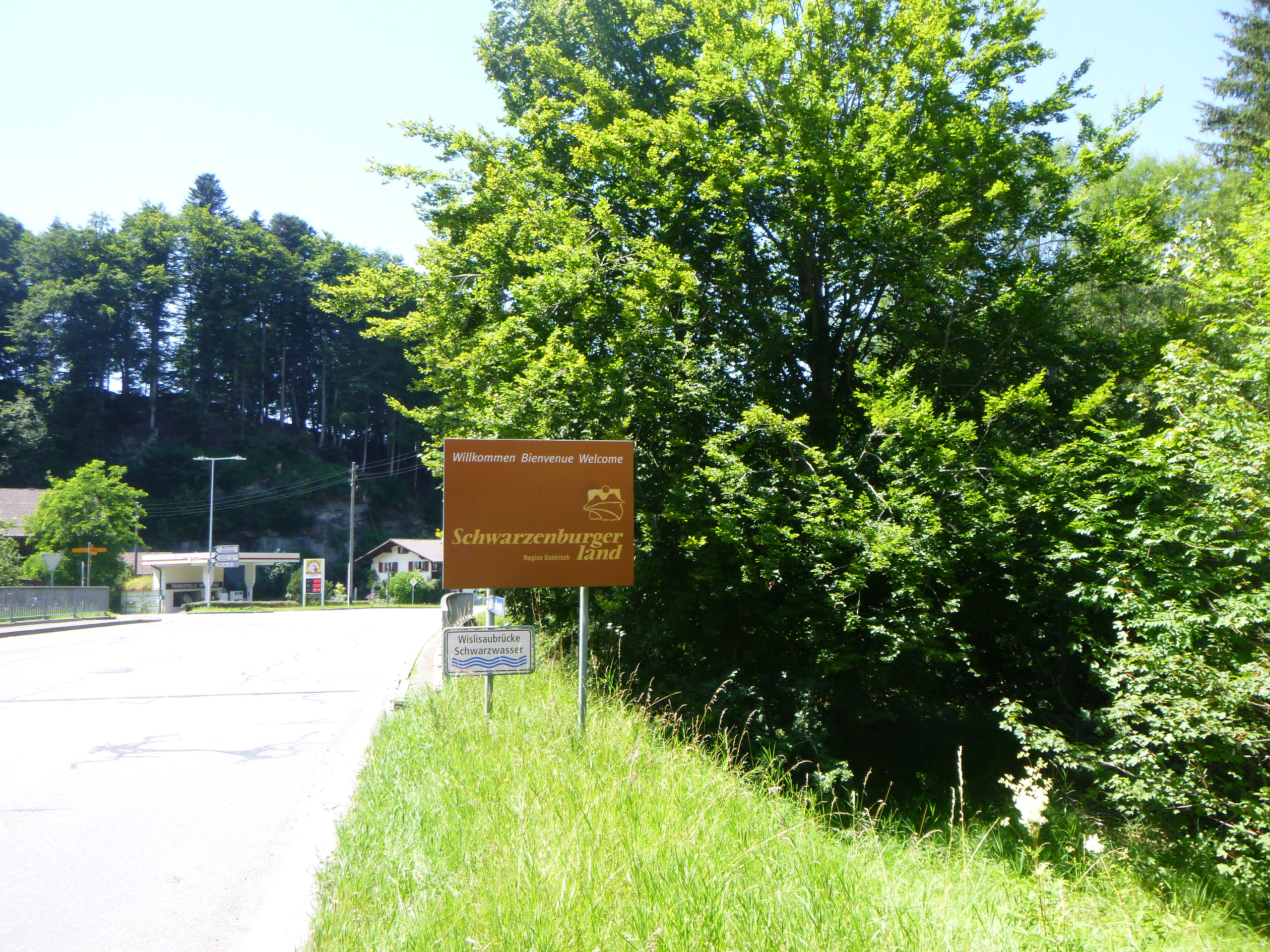
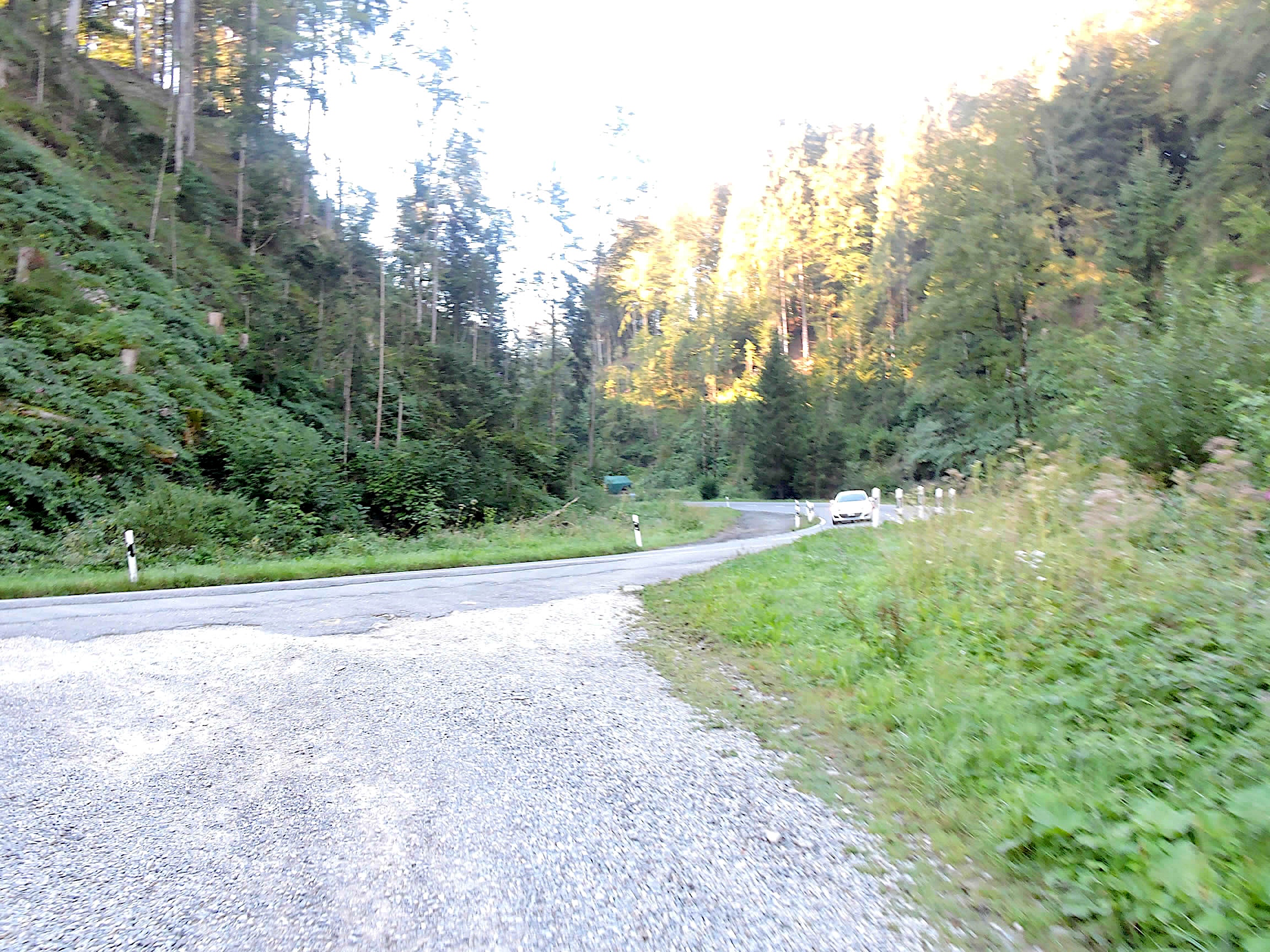
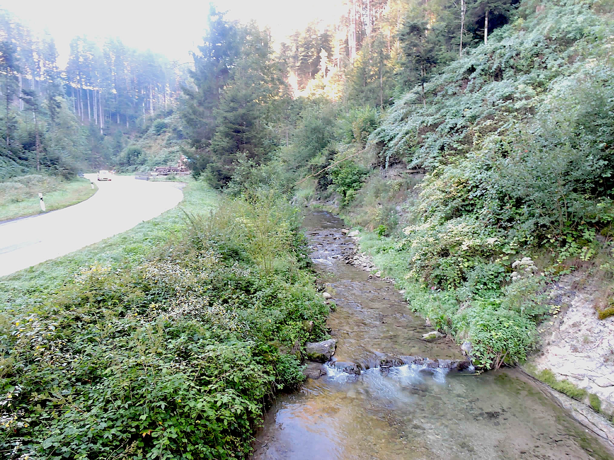
Here flows the Schwarzwasser, a fierce river dancing on the stones. The murmur of the wild river resonates in the molasse canyon, in the beauty of nature.
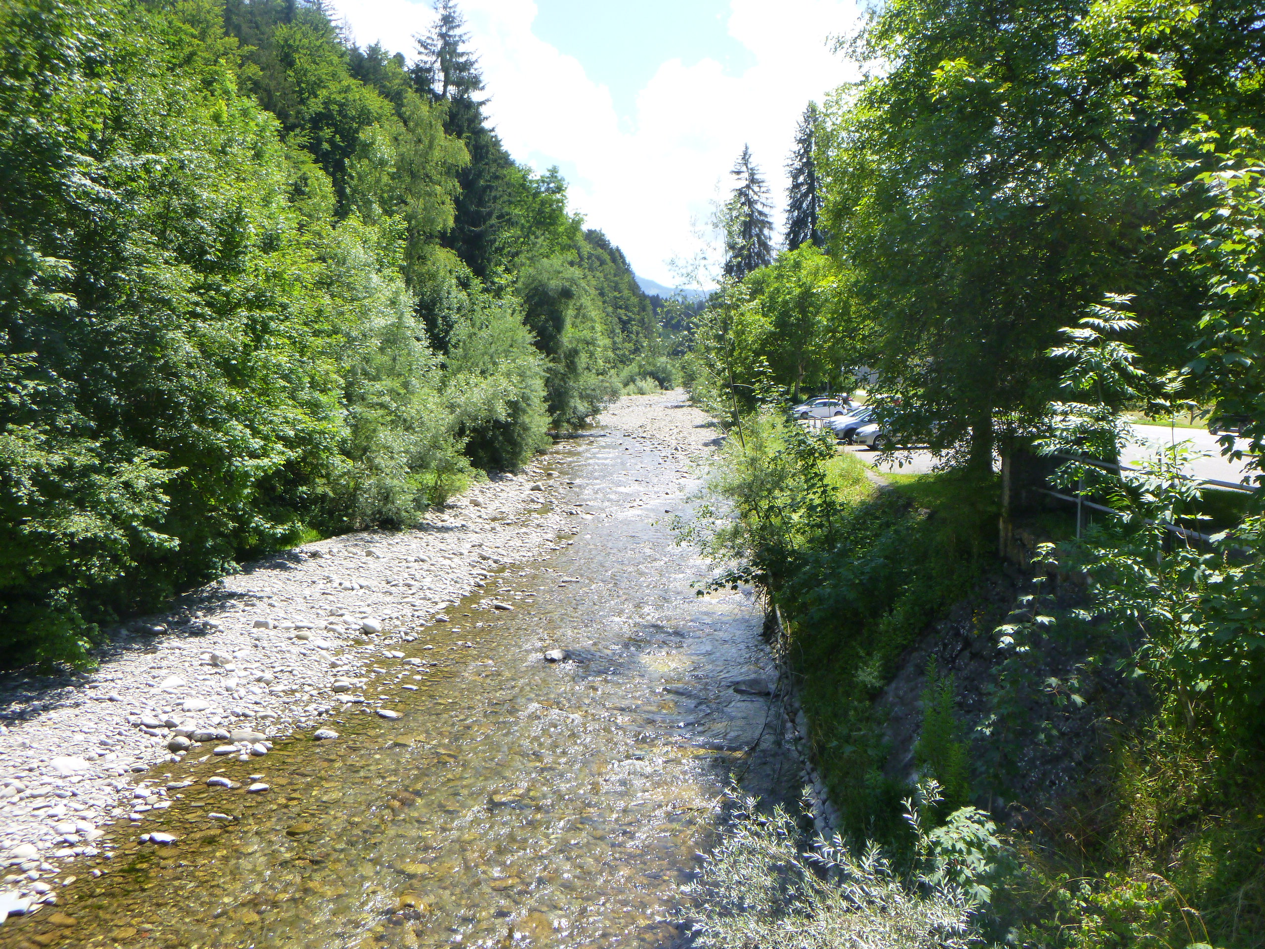
| Continuing its journey, the Via Jacobi crosses the Wislisaubrücke, which spans the Schwarzwasser and then frolics in the wild nature along the river. |
 |
 |
| From this bridge, a path blends into the woods, a mix of deciduous and coniferous trees, as if to celebrate the world’s gentleness. |
 |
 |
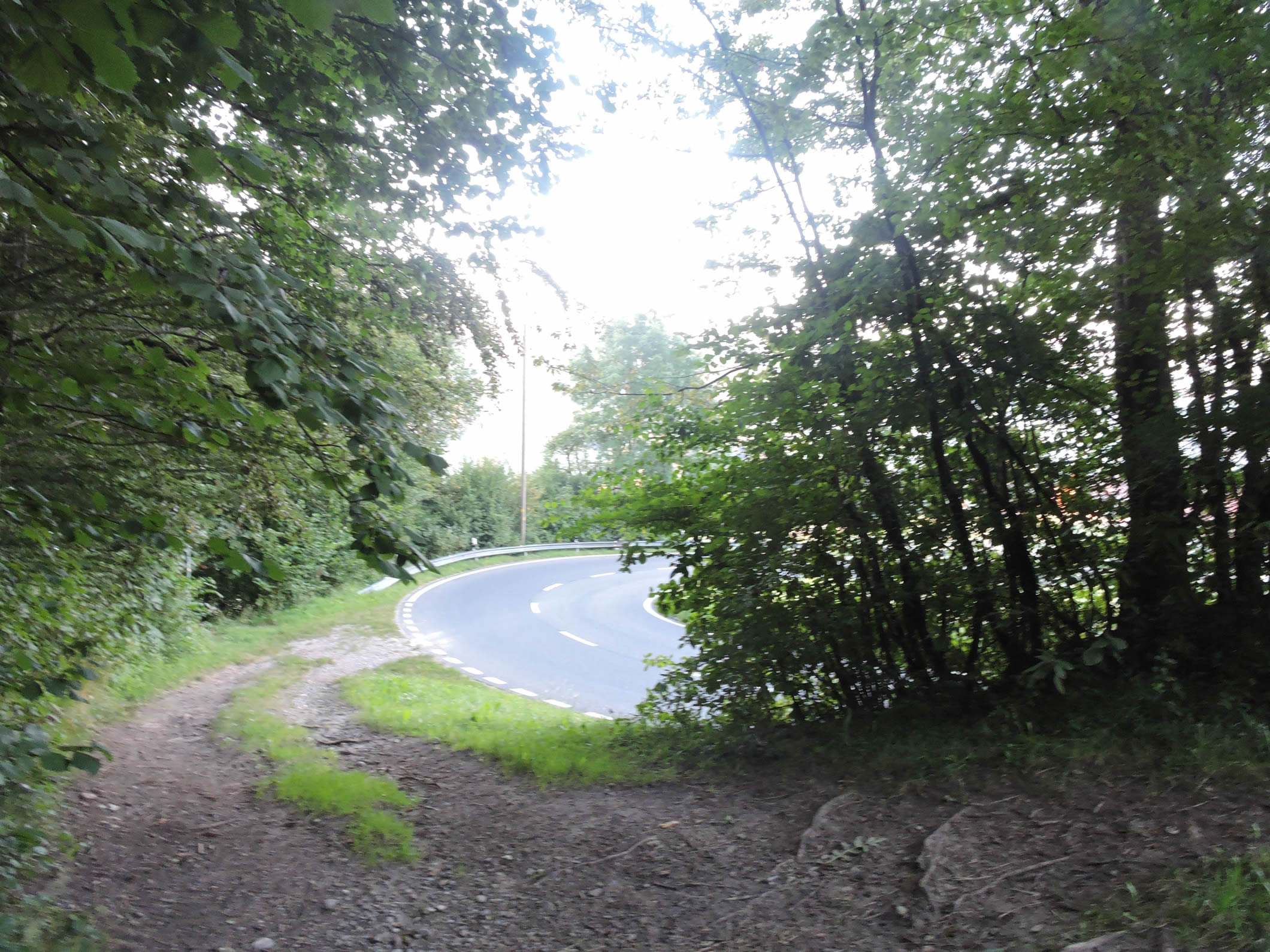
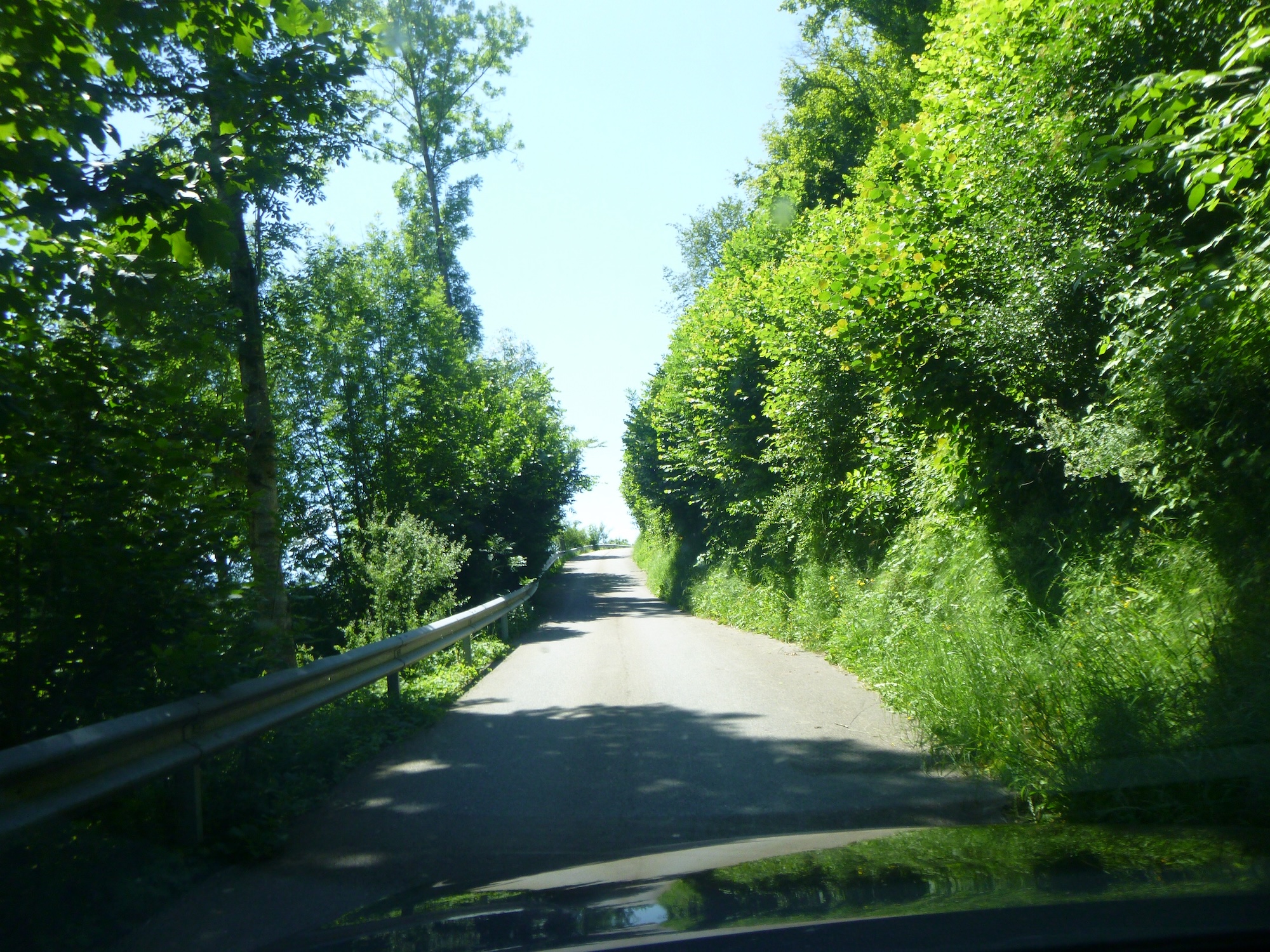
| Then, as if by magic, the path abandons the river to rejoin the cantonal road, offering travelers a breathtaking view of the surrounding terrain. |
 |
 |
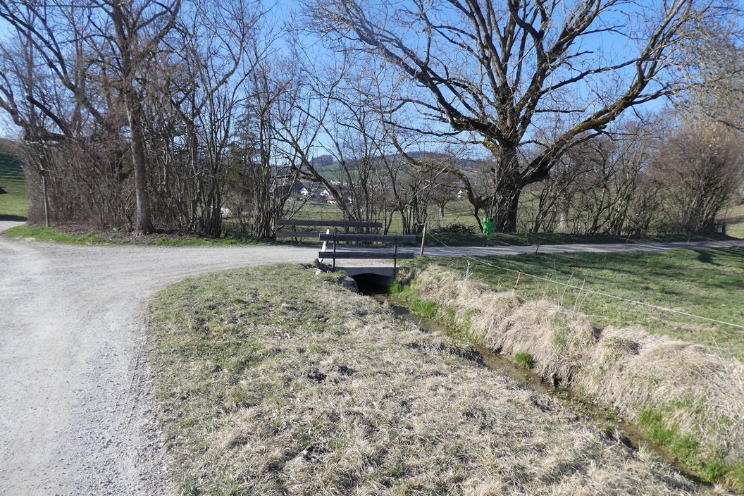
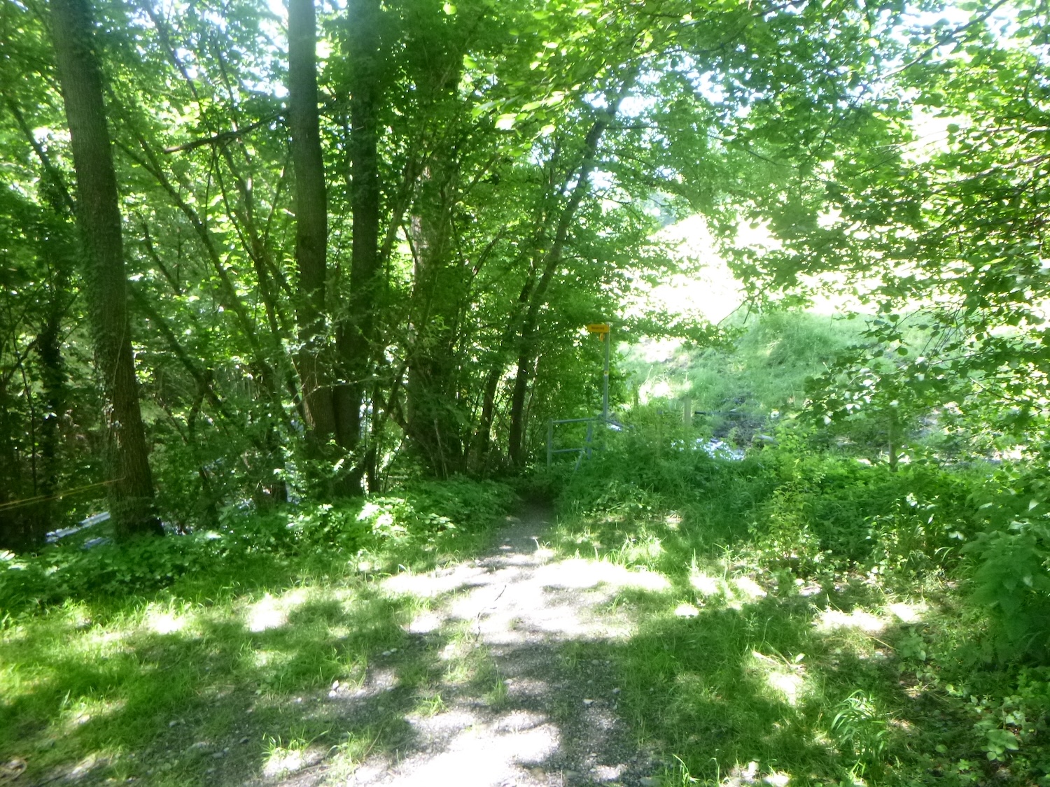
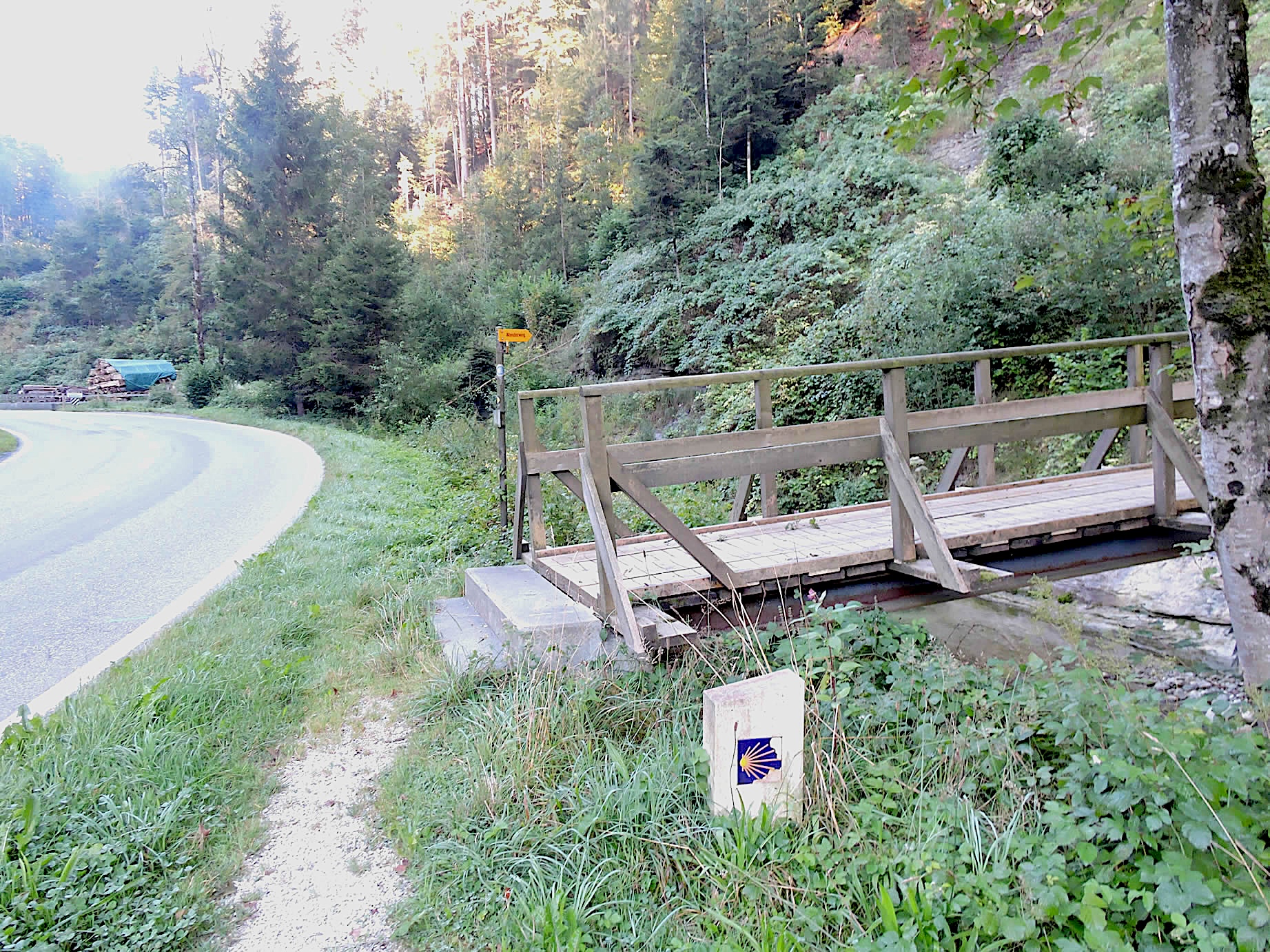
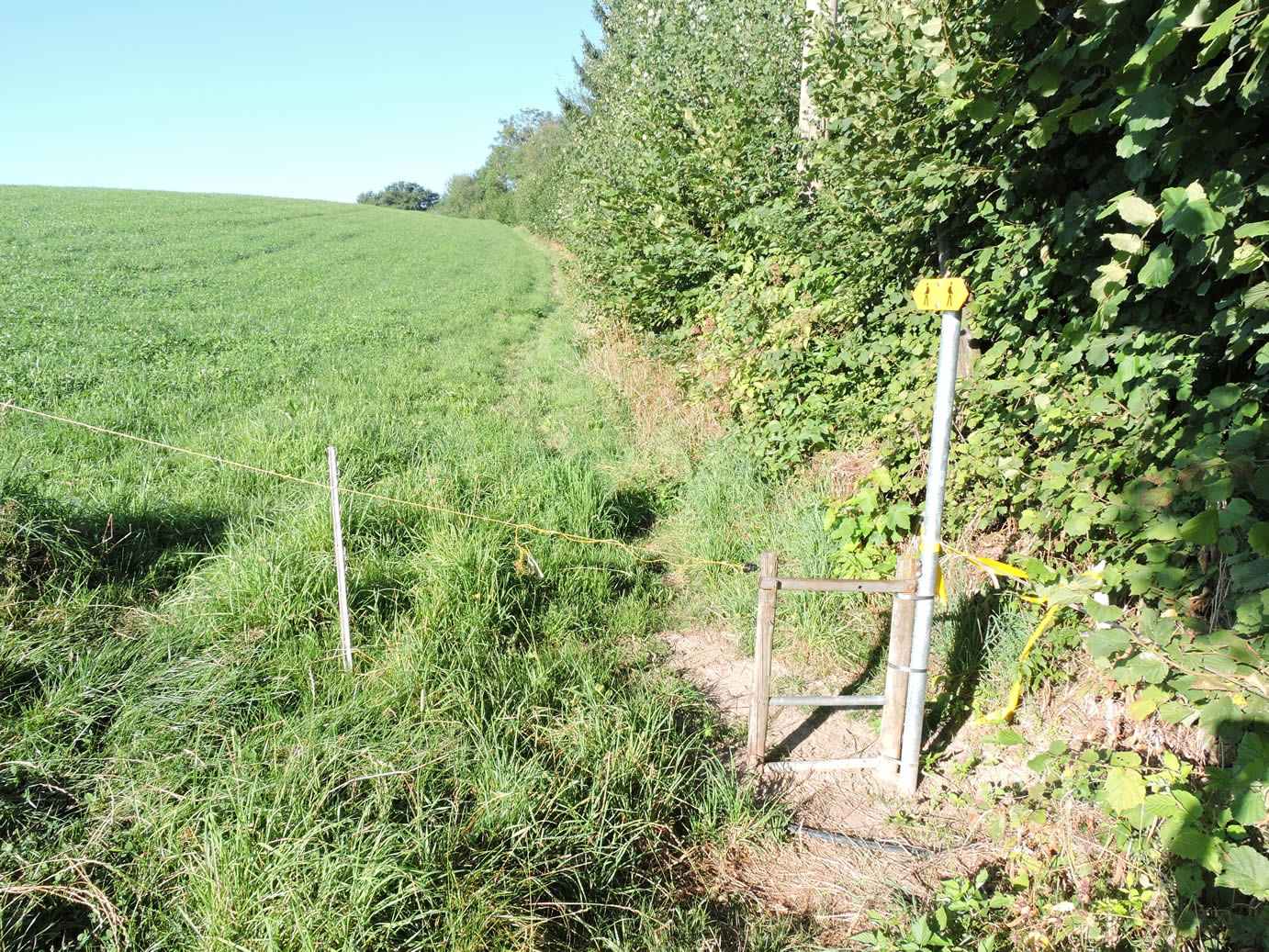
| In this greenery, the Via Jacobi veers off the cantonal road to cross the peaceful Lindebach stream, seemingly frozen in the eternity of Swiss landscapes. Be careful here if you’re used to the Camino de Santiago shell markers from France’s paths. In Switzerland, the shell never indicates the direction. One must follow only the Via Jacobi 4 signposts. |
 |
 |
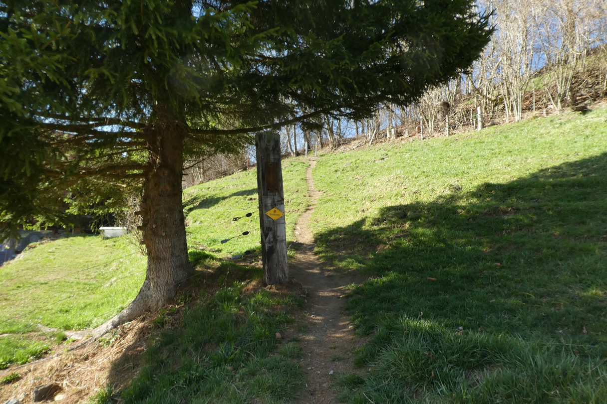
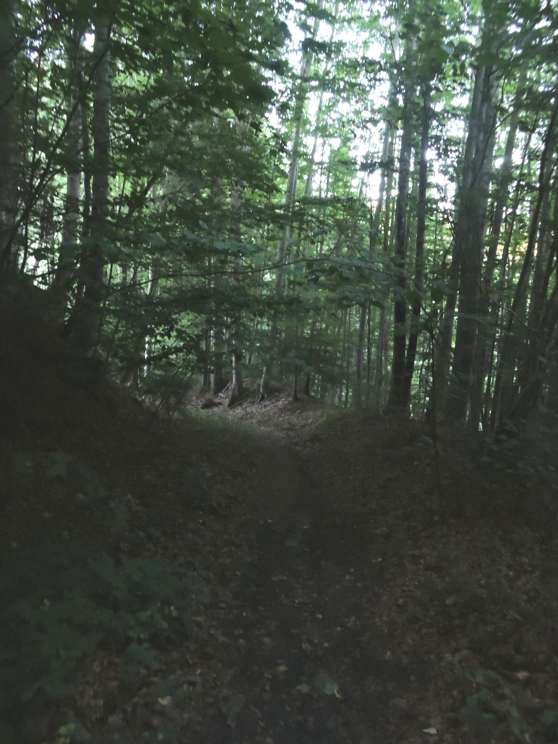
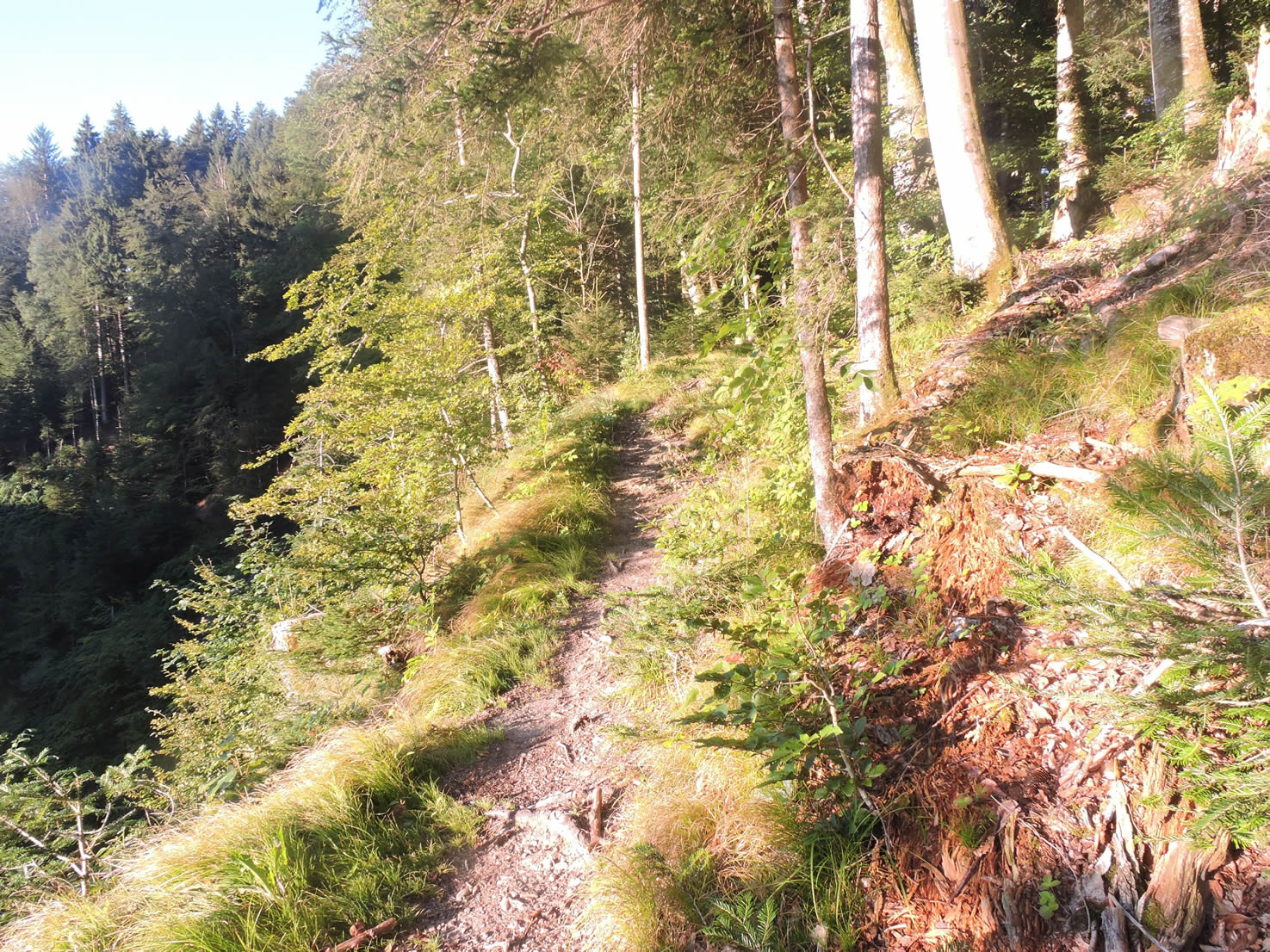
| Then, like a tightrope walker on the thread of its destiny, the path climbs, steep in its first steps, an exhilarating challenge through thickets and woods, where every step is a dance with nature. The ascent is severe, with slopes reaching nearly 20% at the beginning, often on wooden logs to prevent slipping. |
 |
 |
| As the climb continues, the trees open up to a clearing bathed in light, like a reward for the effort made. Up there, almost at the summit of the hill, life seems suspended in perfect balance, where shadow and light vie for the privilege of caressing the enchanting landscapes. |
 |
 |
Like an irresistible call, the Via Jacobi sets off once again, attacking the hill with unwavering determination, challenging the steep slopes.

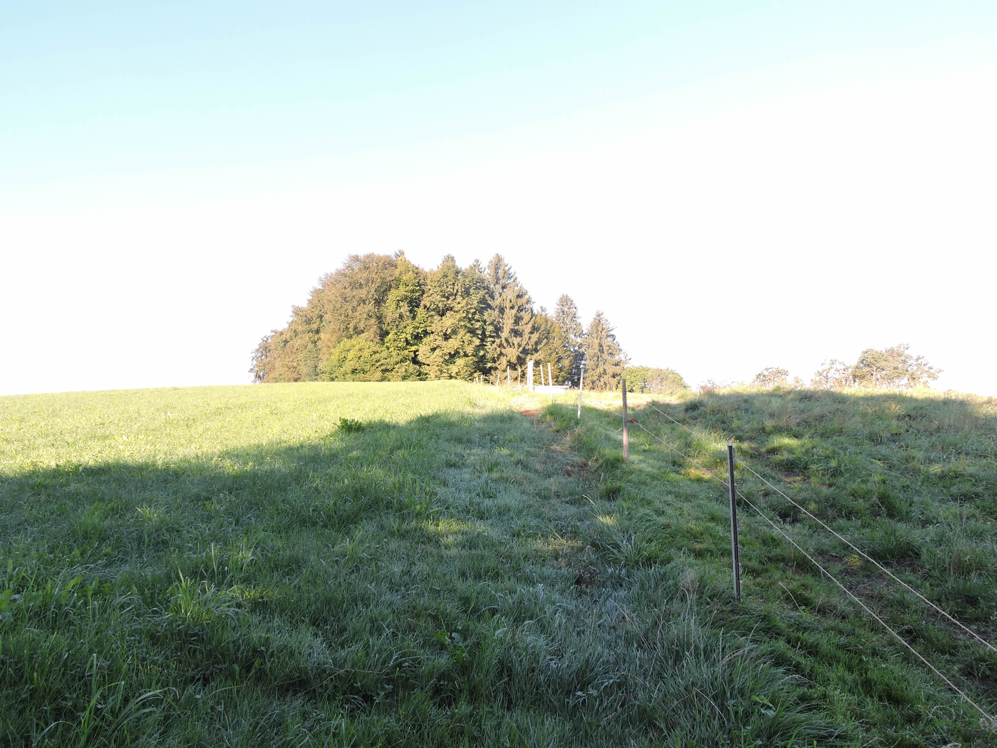
| Over the seasons, the landscape transforms, shifting from shadow to light with infinite grace. In the canyon’s depths, the darkness reigns supreme, while at the summit, the sun today ignites the sky with its radiant beams. |
 |
 |
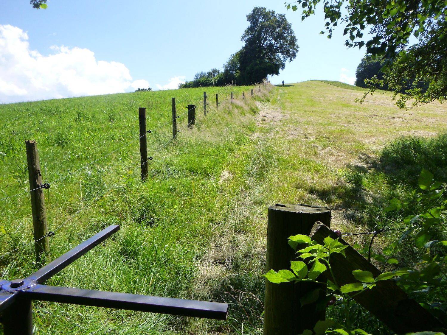
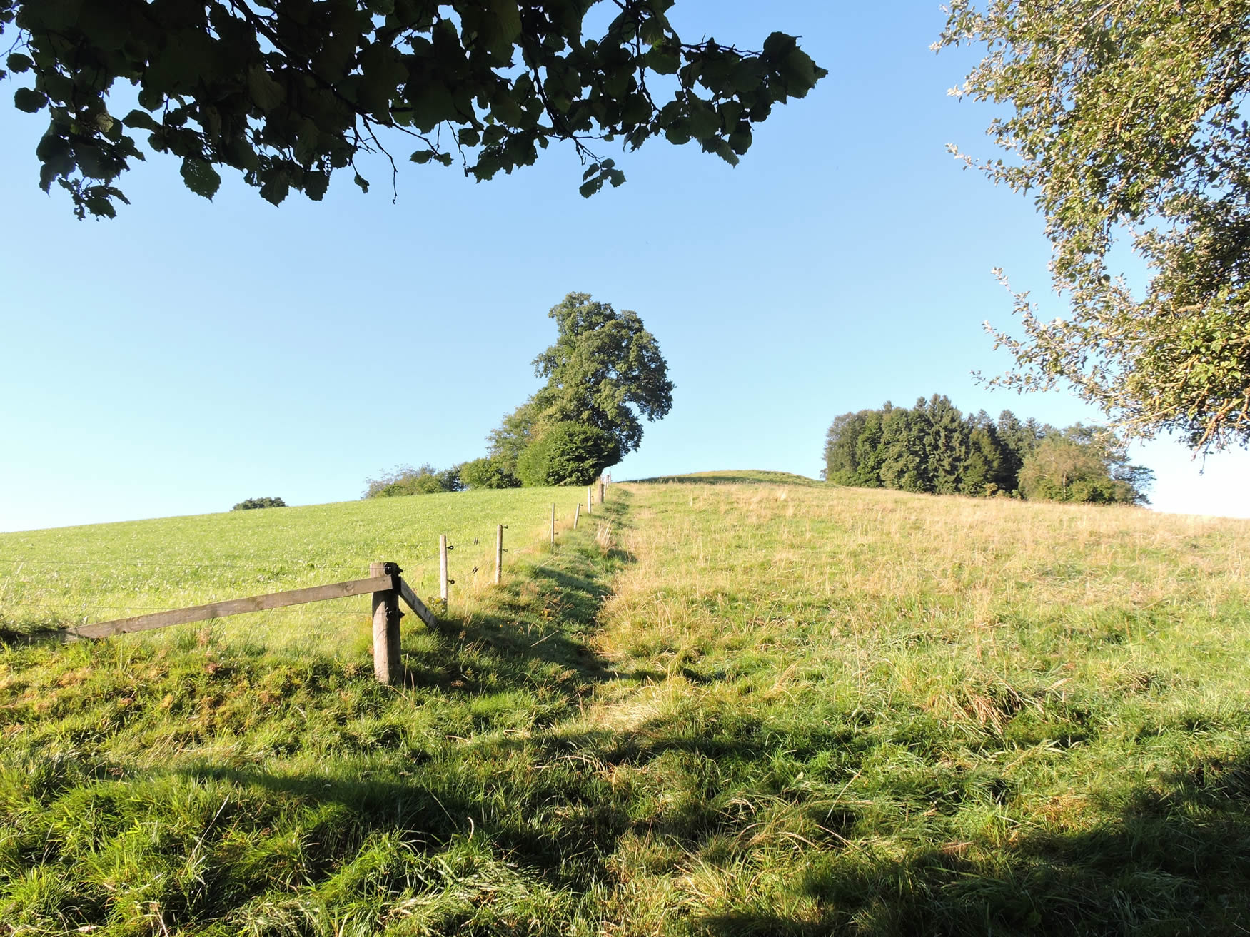
| At the summit of the hill, the Via Jacobi offers a breathtaking spectacle. As far as the eye can see, the meadows stretch out, bathed in golden light. In the distance, the place called Granegg, where more than just cows are raised, emerges, a true oasis in the heart of this wild nature. |
 |
 |
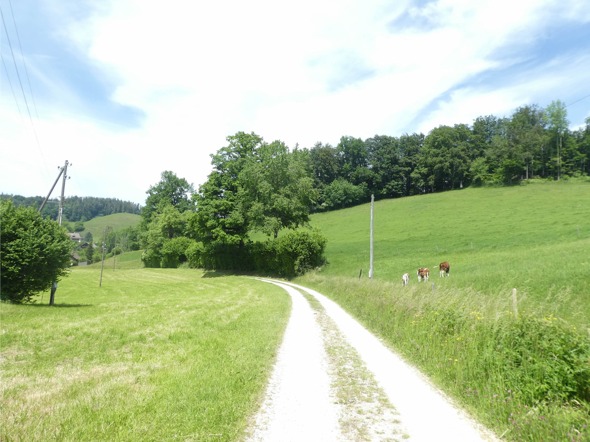
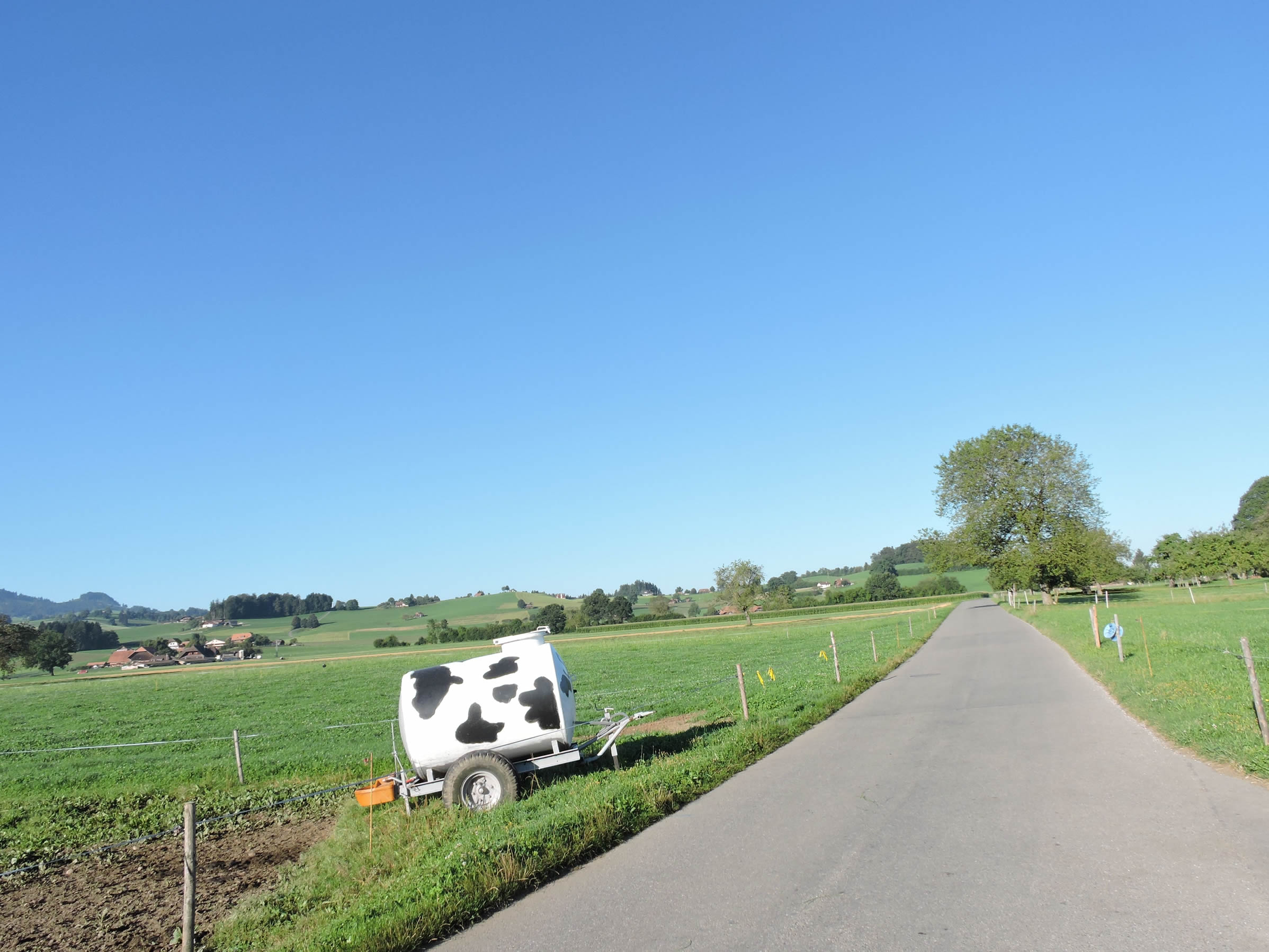
| On the small road crossing the plateau, life flourishes in all its splendor. Among the few cornfields and verdant meadows, the farms rise like guardians of time, silent witnesses to the flow of life. The farms are too numerous to count. |
 |
 |
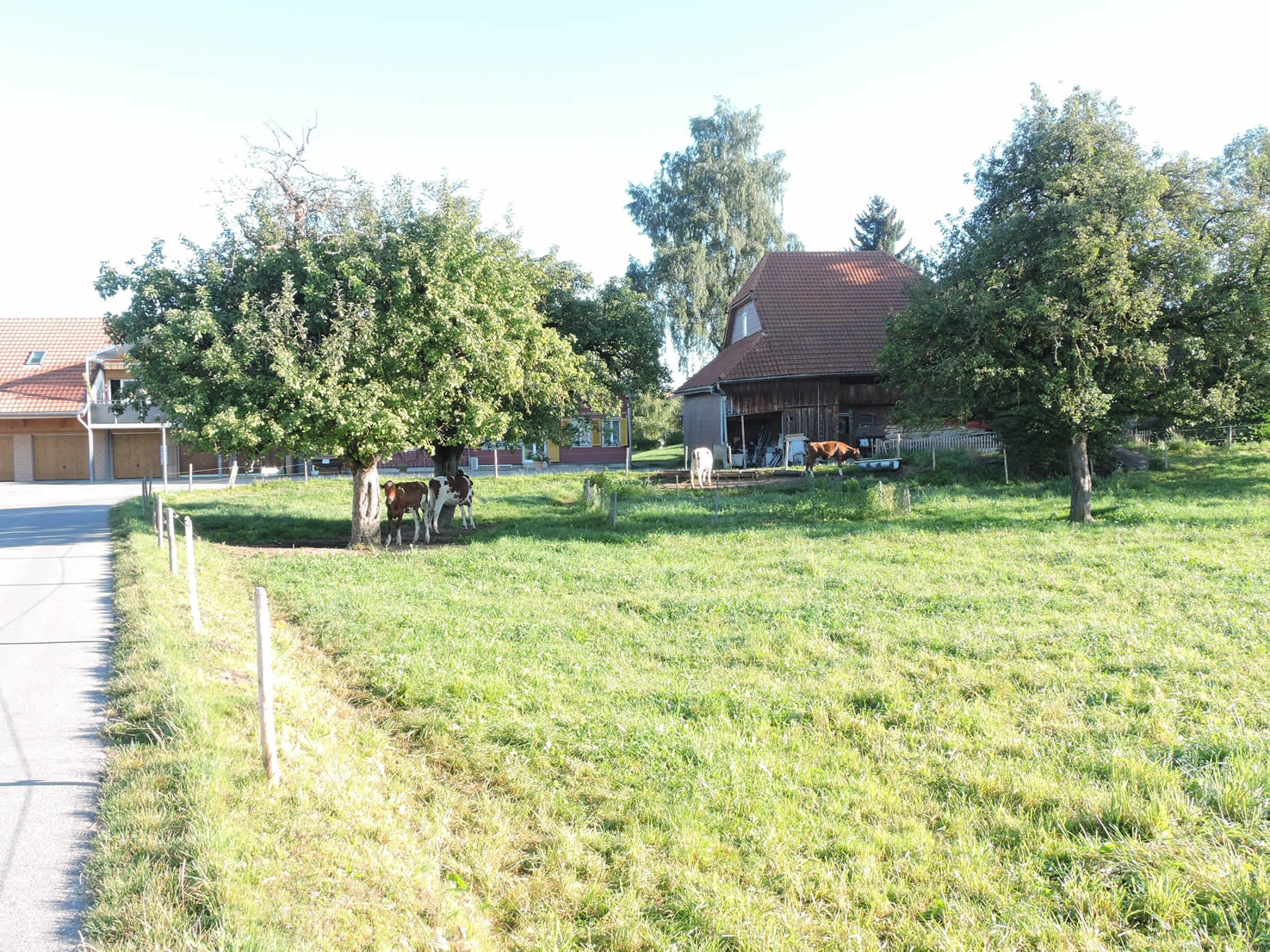
| And then, as if appearing out of nowhere, the farms of Henzischwand stand proudly, like jewels in the countryside’s setting. Surrounded by flowers and greenery, they celebrate the simple beauty of country life, where cattle reign supreme and nature is queen. |
 |
 |
Section 5: Nearly at the end of the Canton of Bern

Overview of the route’s challenges: The route presents no significant challenges, except near Schönnentannen.

|
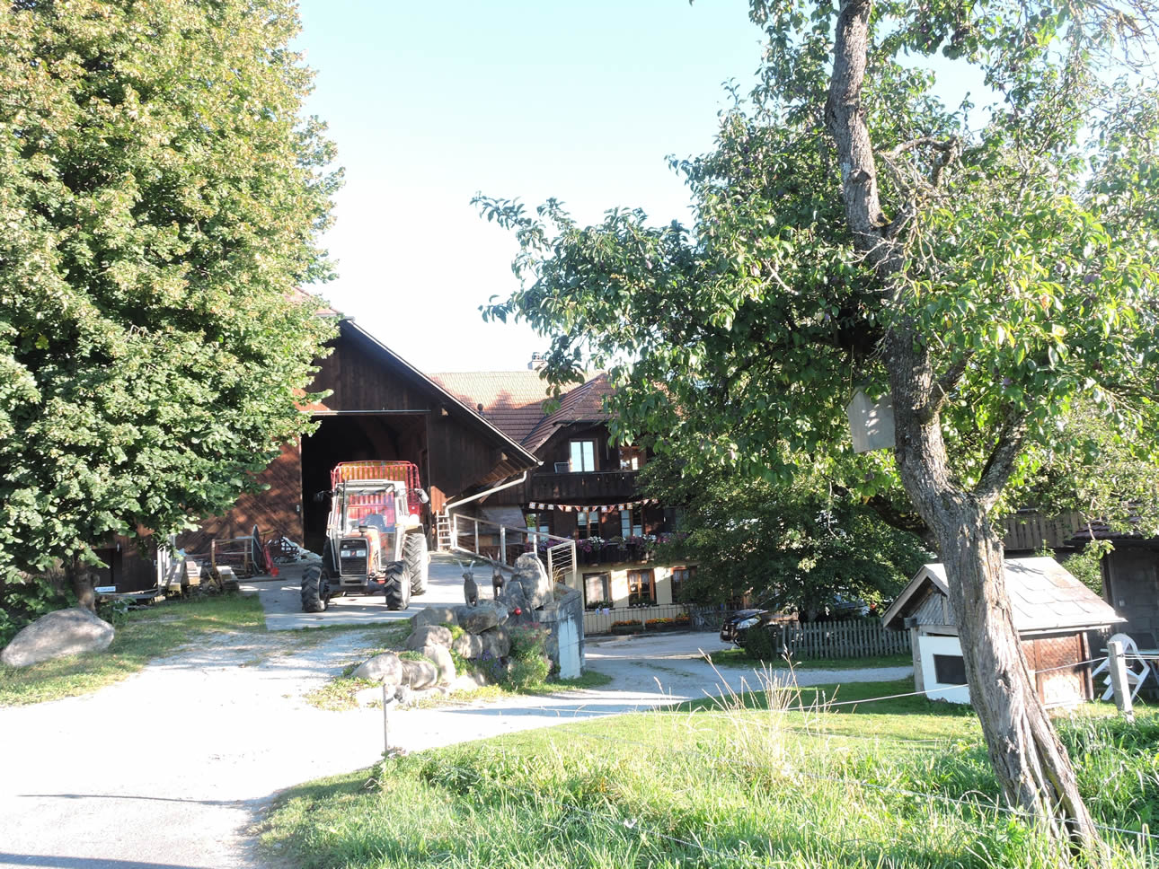
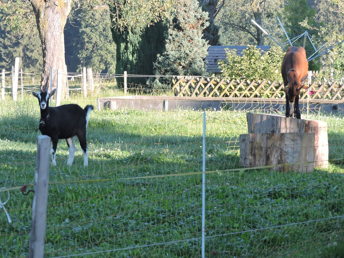
Along the well-trodden paths of pilgrims, a bucolic symphony emerges where nature intertwines its notes with the peaceful life of farms scattered along the road. The graceful dance of cows and goats, like playful deities, seems to orchestrate an enchanting ballet on the heights of Kühmoos, while the farms, like jewels set in the verdant fabric of the countryside, offer their serenity to walkers.
|
 |
 |
| With each step, the landscapes reveal themselves with crystalline clarity, where the farms stand in neat rows, bearing witness to the harmony between man and the land that nourishes them. Here, no disgrace mars the horizon, where even the dog droppings are removed, leaving an immaculate purity that caresses the senses and enchants the wandering soul. |
 |
 |
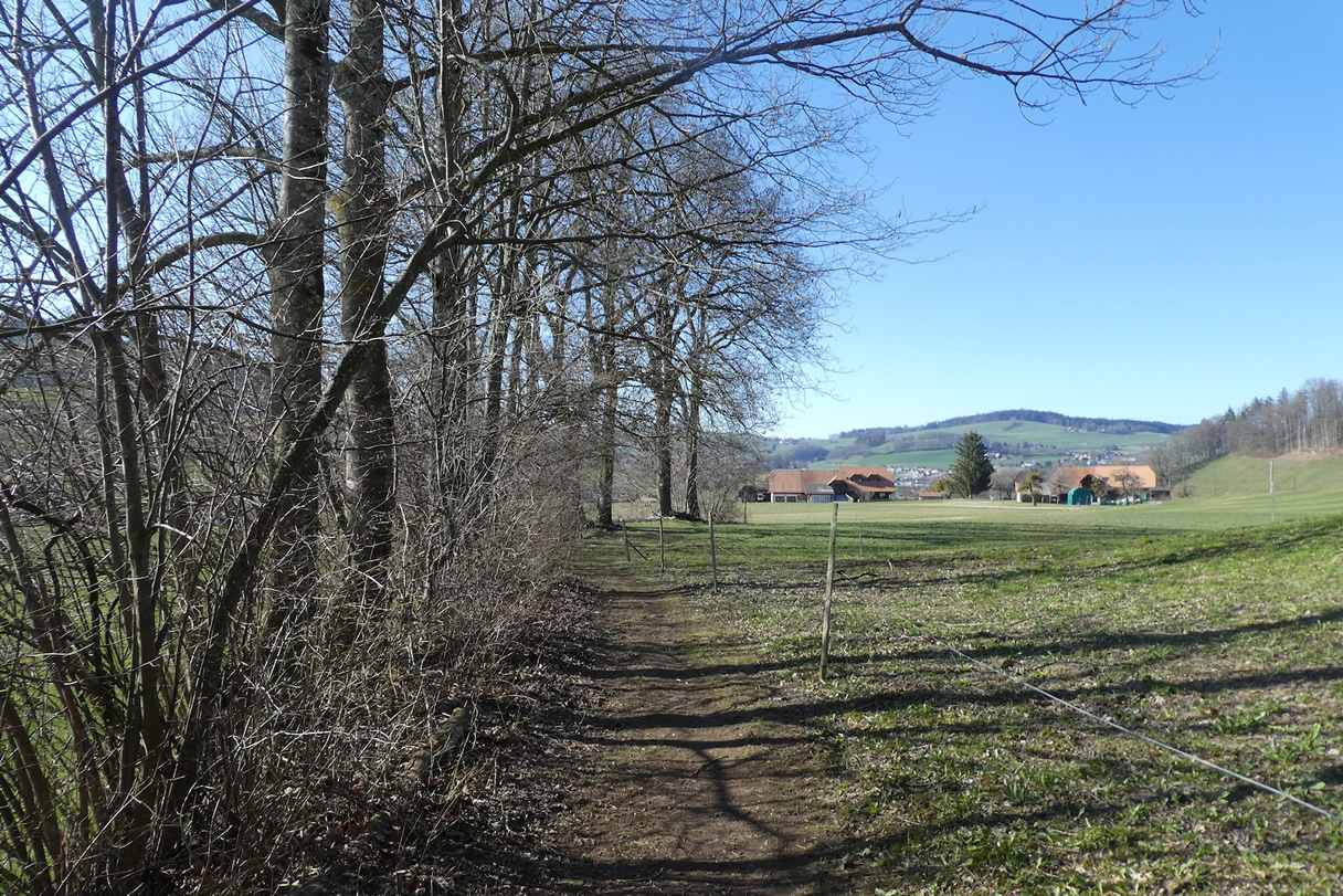
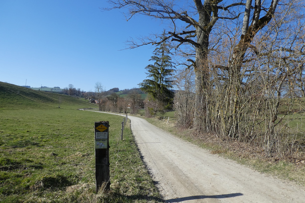
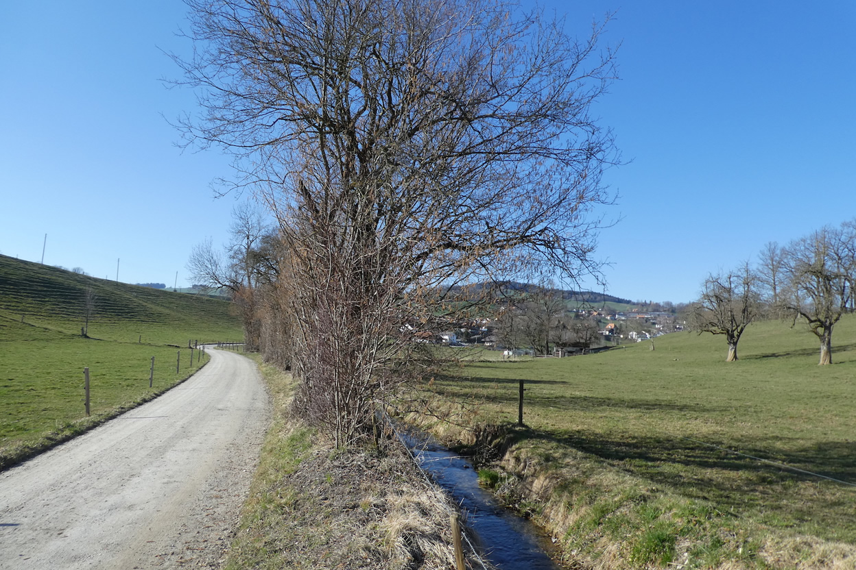
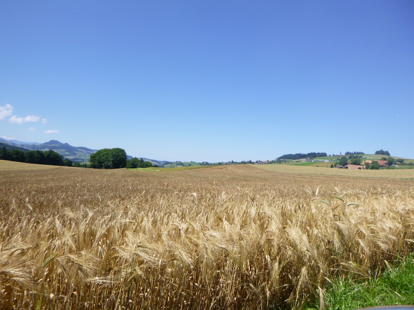
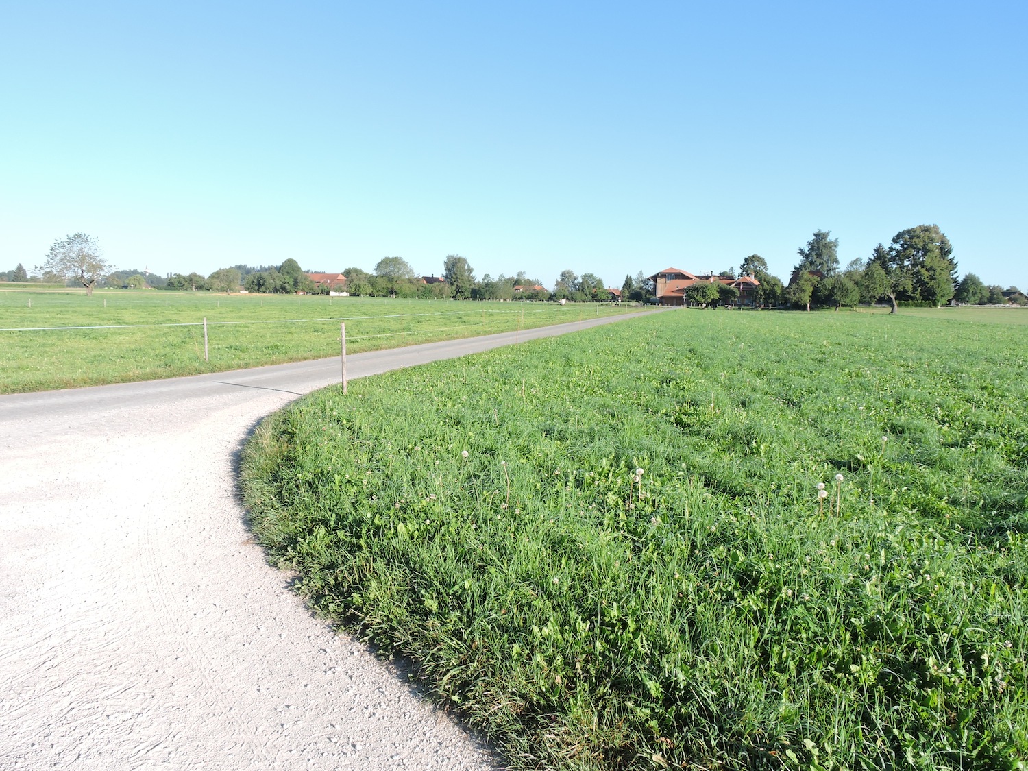
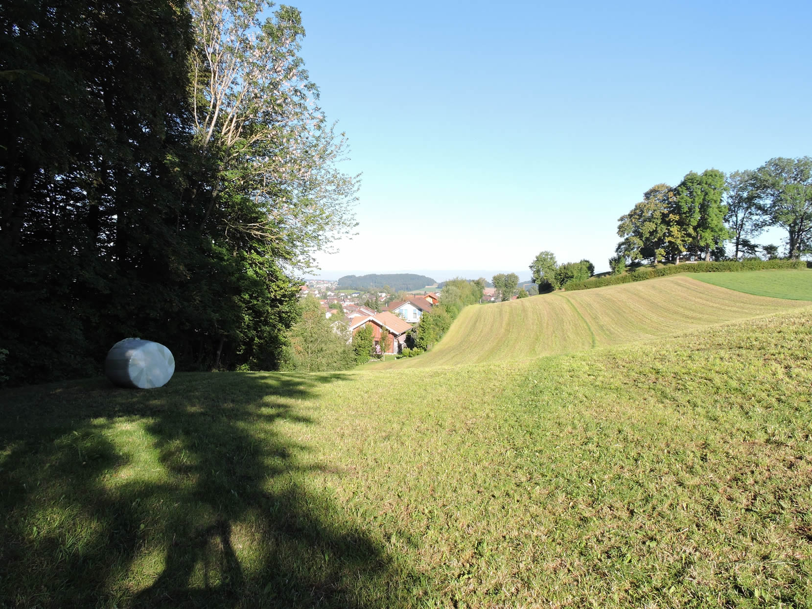
| Far from the artifices of the modern world, the countryside stretches out in all its splendor, unrolling a green carpet and its cornfields. Further on, the dirt road takes place, witness to the footsteps of those who have tread these lands for centuries. |
 |
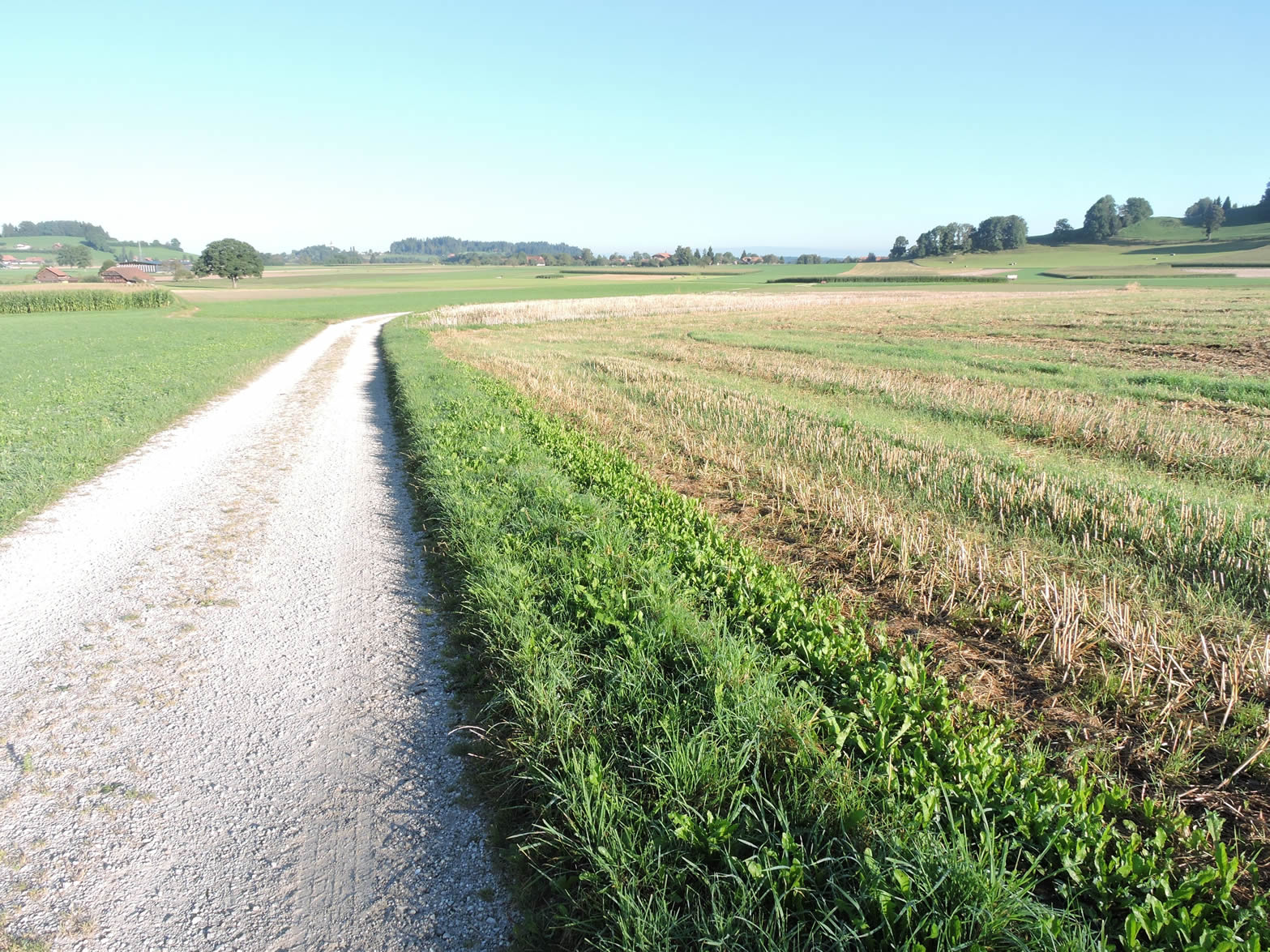 |
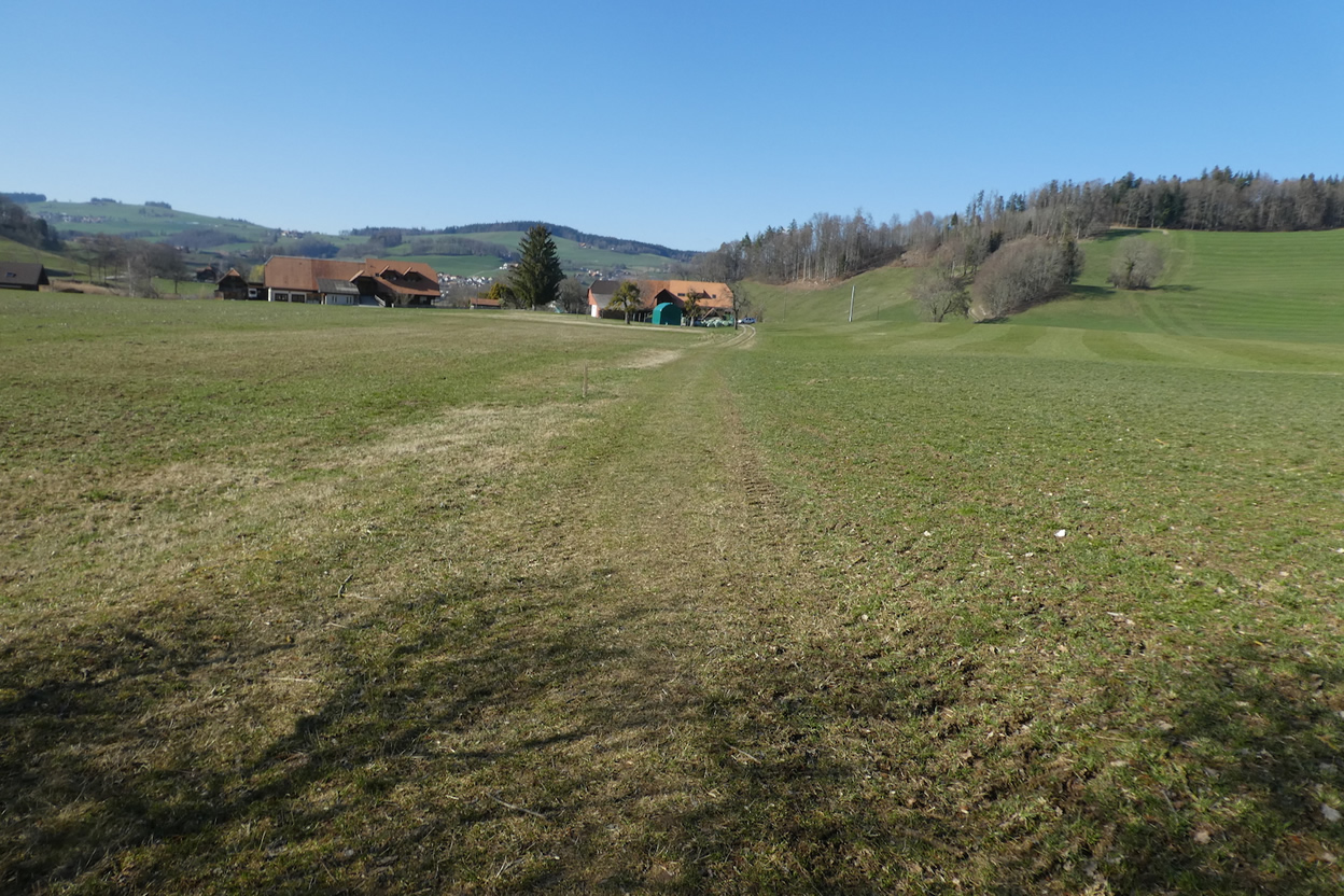
| The dirt road will stretch for a while between meadows and cornfields. |
 |
 |
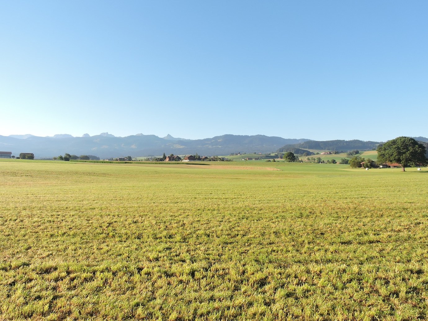
In the distance, the Fribourg Alps begin to appear. Gradually, yoe approach the French-speaking region of Switzerland.
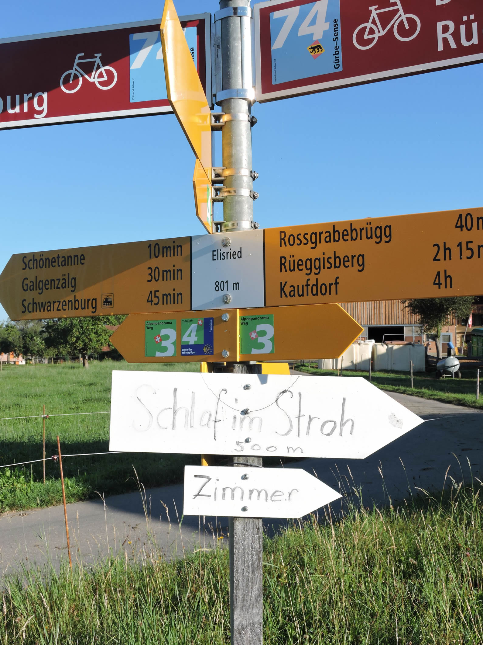
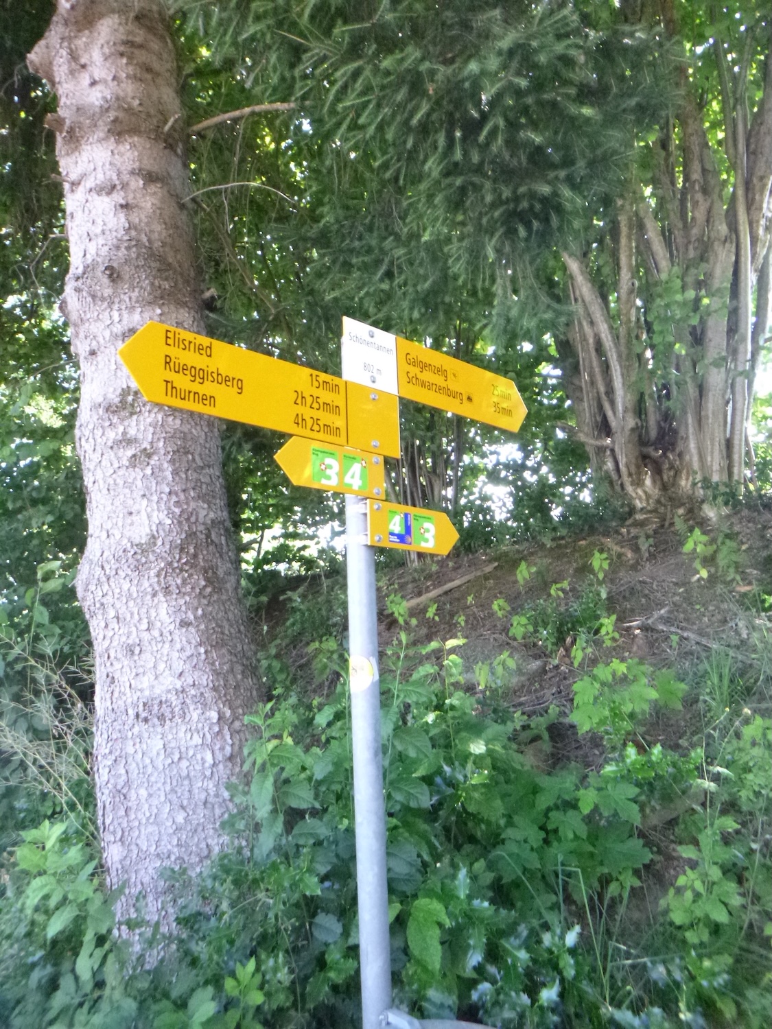
| The journey continues, meandering through the twists and turns of the landscape, until the road reaches the entrance of Elisried. Here, you are 45 minutes from Schwarzenburg on foot. |
 |
 |
There, a call to simplicity resonates, as a generous homeowner opens the doors of his home to travelers, offering them lodging in a cozy bed of straw. This is where the authentic charm of Swiss hospitality resides, enveloping the traveler in a warm embrace, far from the tumult of the modern world.
| In this pastoral scene, where every element seems to have been painted by the hand of an inspired artist, stacks of chopped wood rise like living sculptures, silent witnesses to the daily labor of the inhabitants. |
 |
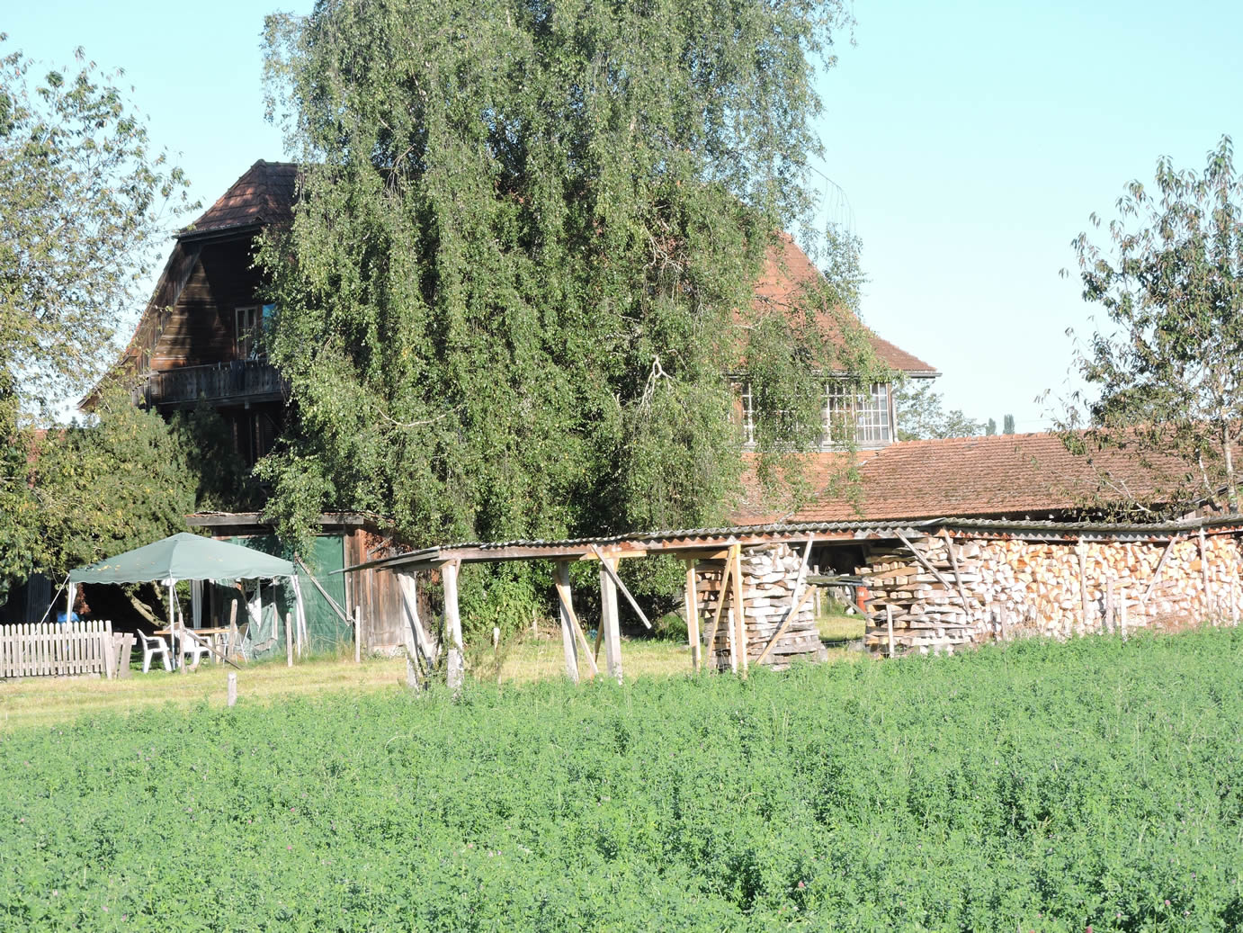 |
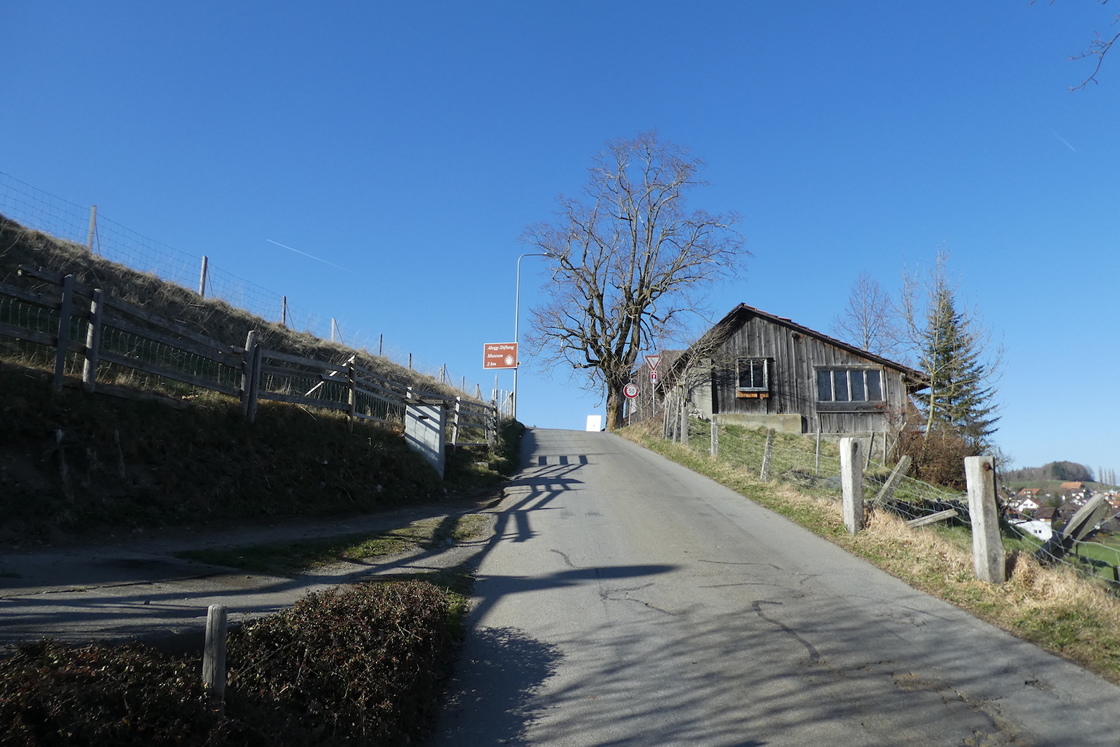
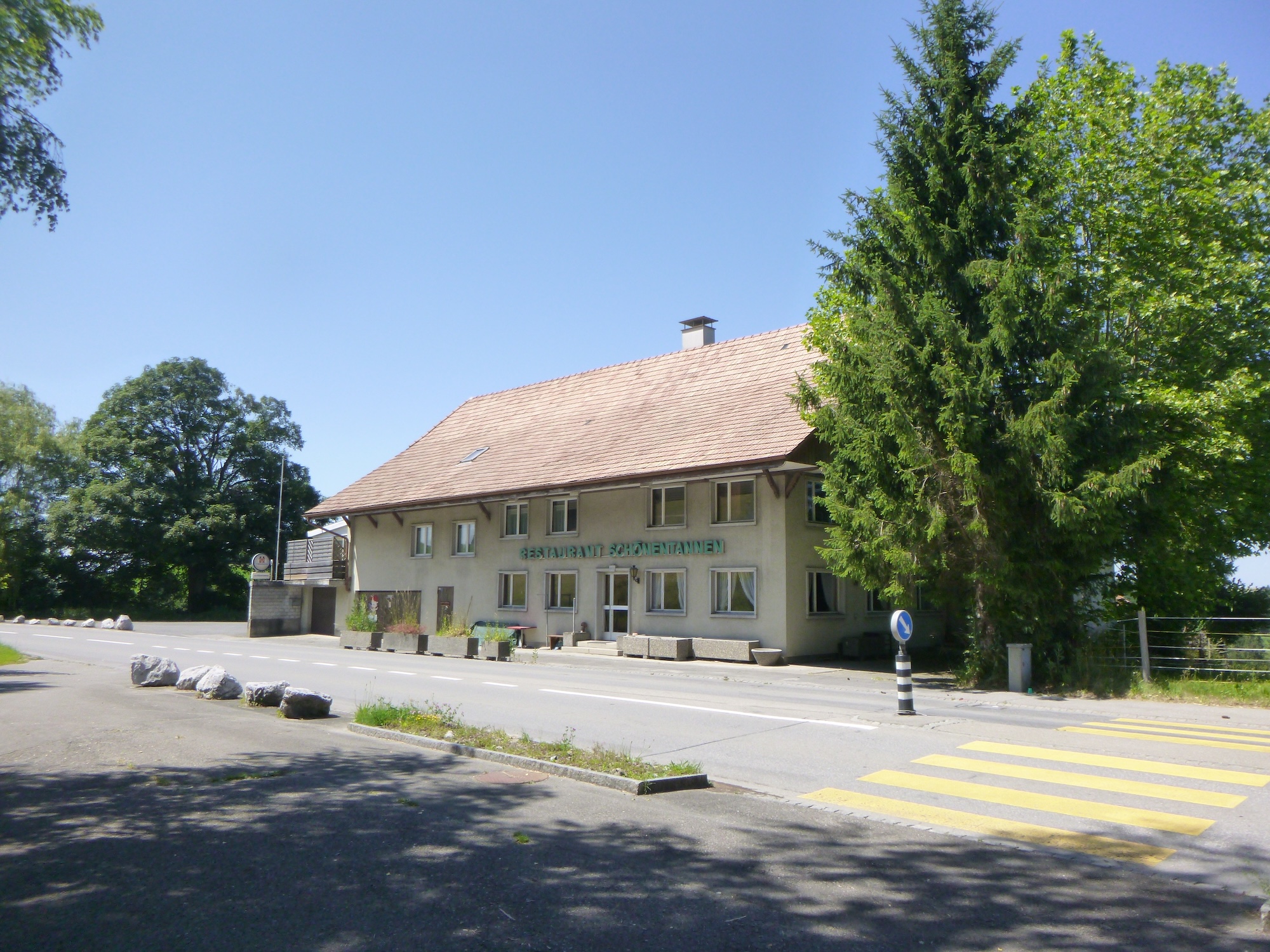
| The road continues until it reaches Schönnentannen, where there was once a restaurant by the roadside. The restaurant appears to be closed today. Who knows? |
 |
 |
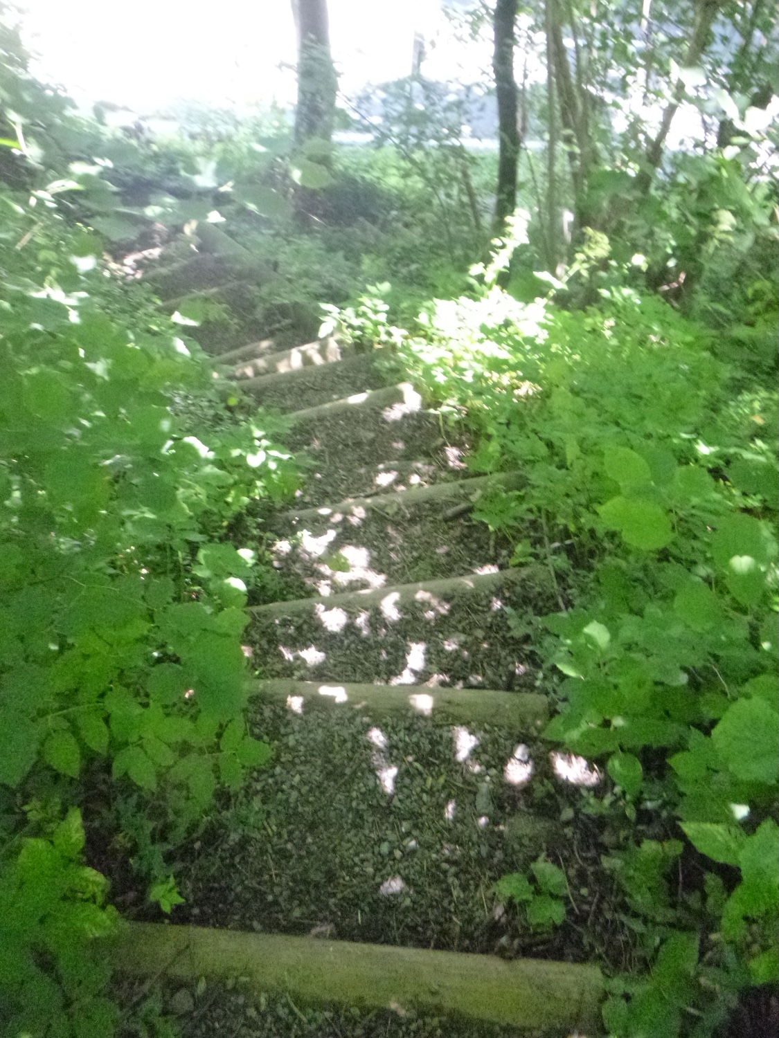
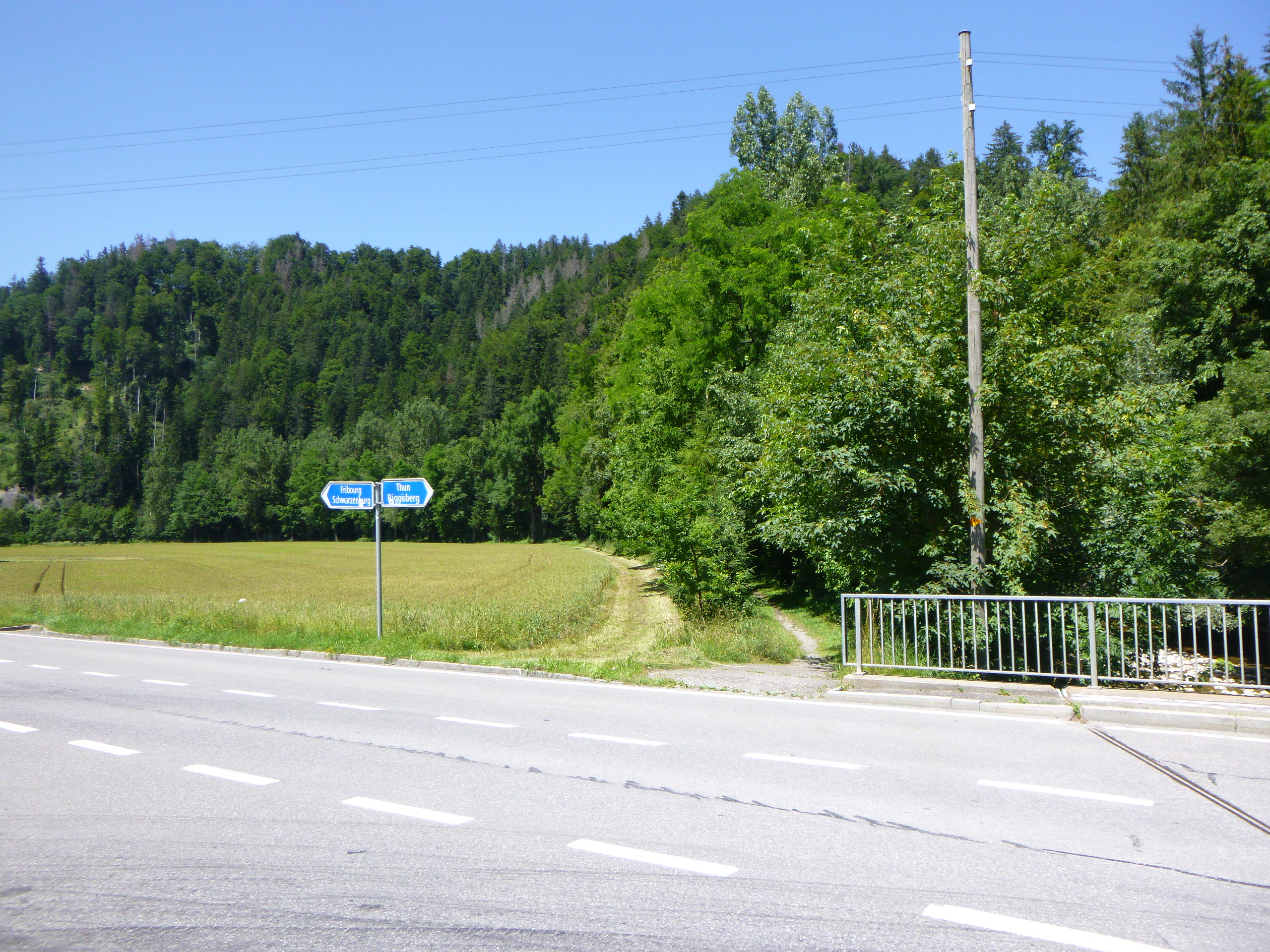
| And yet, the Camino de Santiago reveals its capricious nature, inviting the pilgrim to leave the beaten paths to explore unknown territories. This is where the magic of the journey lies, in the possibility of getting lost to find oneself, of losing one’s way to discover oneself. Of course, the cantonal road continues to Schwarzenburg, just a stone’s throw away. But the Camino de Santiago loves to lead the pilgrim away from easy roads. So, it invents a small part in the grass, and on a slope. If you don’t want to wrestle with the tall grass, you can, at the restaurant’s height, take the wide dirt road below the main road. This path will lead you effortlessly to the town.
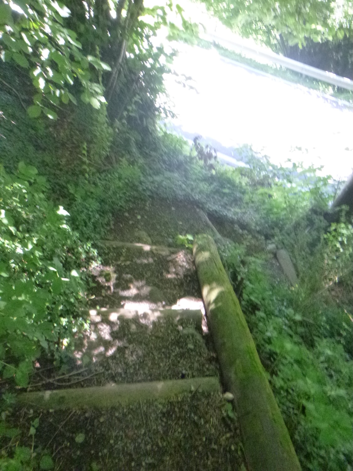
For others, those who naively believe the Camino de Santiago is unchanging and that it’s good never to detour or take a shortcut, engage in the wrong little staircase. |
 |
 |
It’s a trail that climbs steeply through the meadows to the top of the hill.
| . |
 |
 |
At the top of the ridge, the world seems to stretch endlessly, unveiling Schwarzenburg in all its splendor, nestled in the gentle hills like a precious gem in the heart of nature.

| The path then becomes a confidant, crossing a small grove, inviting the walkers to dive into the heart of nature to rediscover themselves. |
 |
 |
| In the clearing, the path transforms, blending into the soft grass like a promise of eternity. |
 |
 |
| And when the ridge ends, the road reappears, winding through fields to better guide the traveler to their final destination. With each step, the landscape transforms, offering a constantly renewed spectacle. |
 |
 |
A little lower, you will find yourself above Schwarzenburg, with no trace of the route. Continue confidently through the meadows or descend into the forest. If you can’t find the path, take the road. Schwarzenburg is just below.
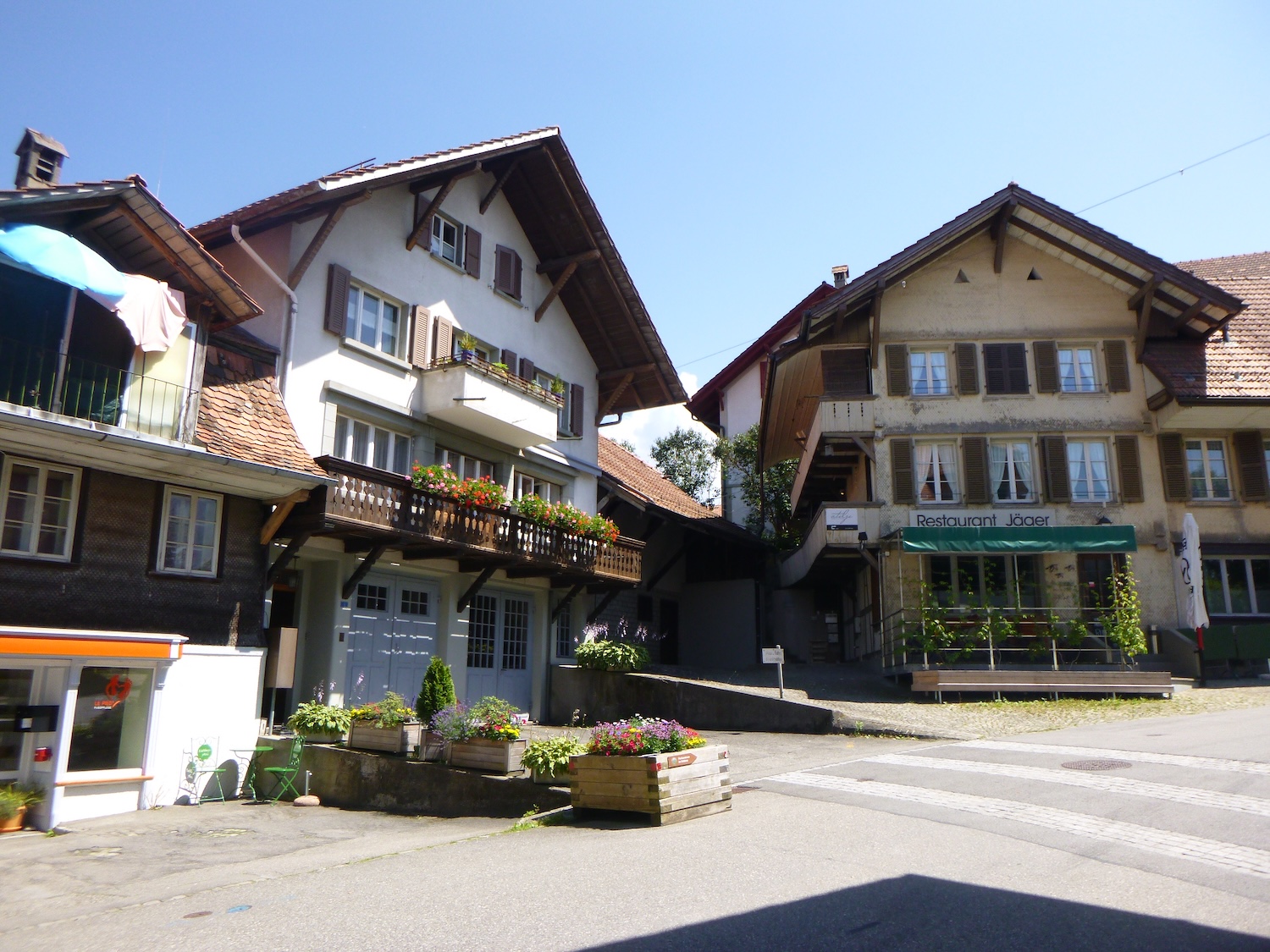
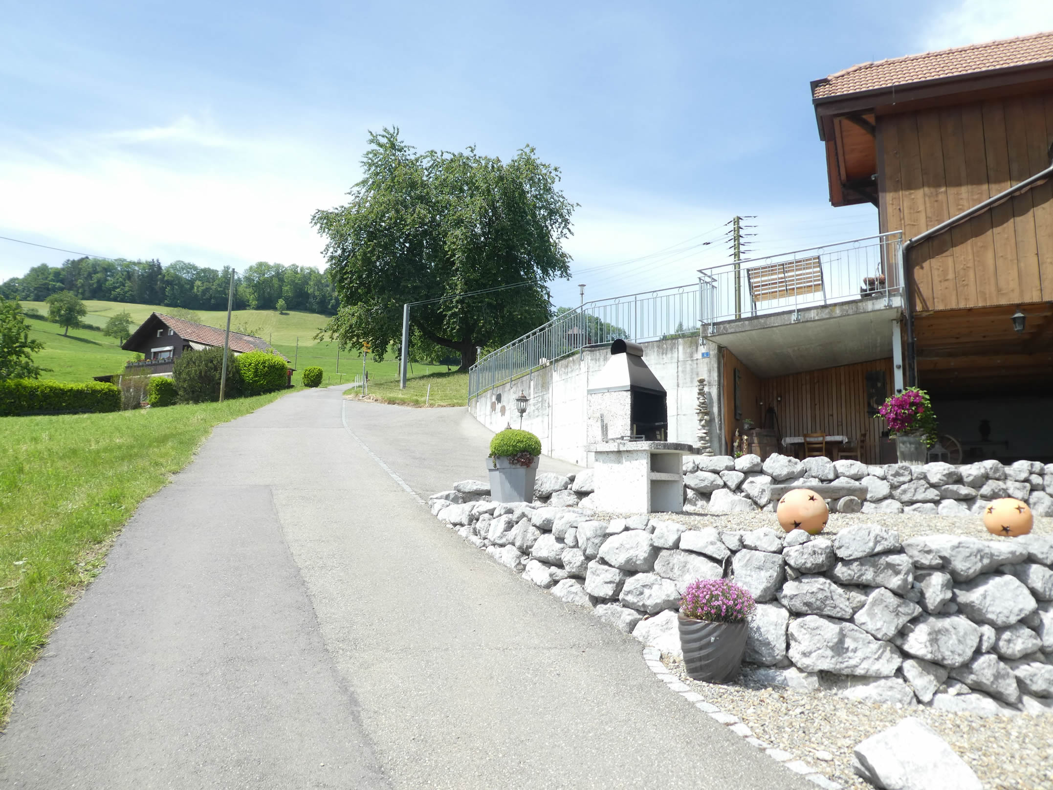
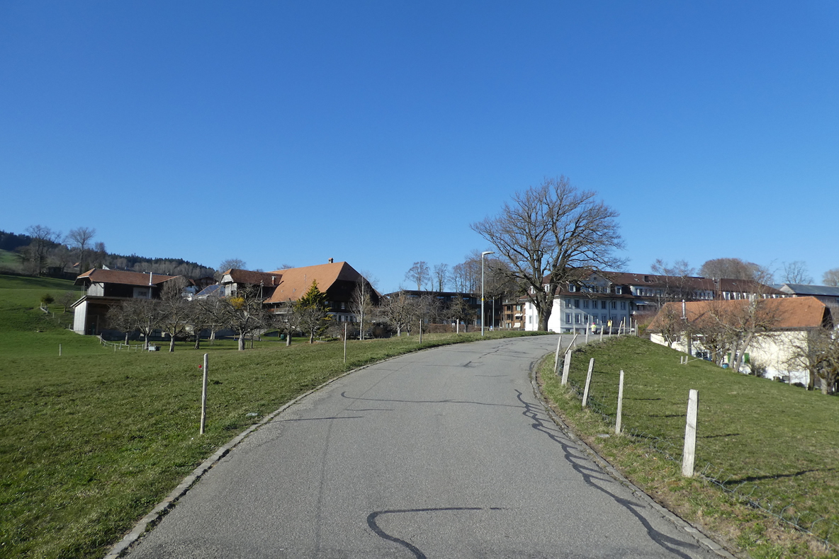
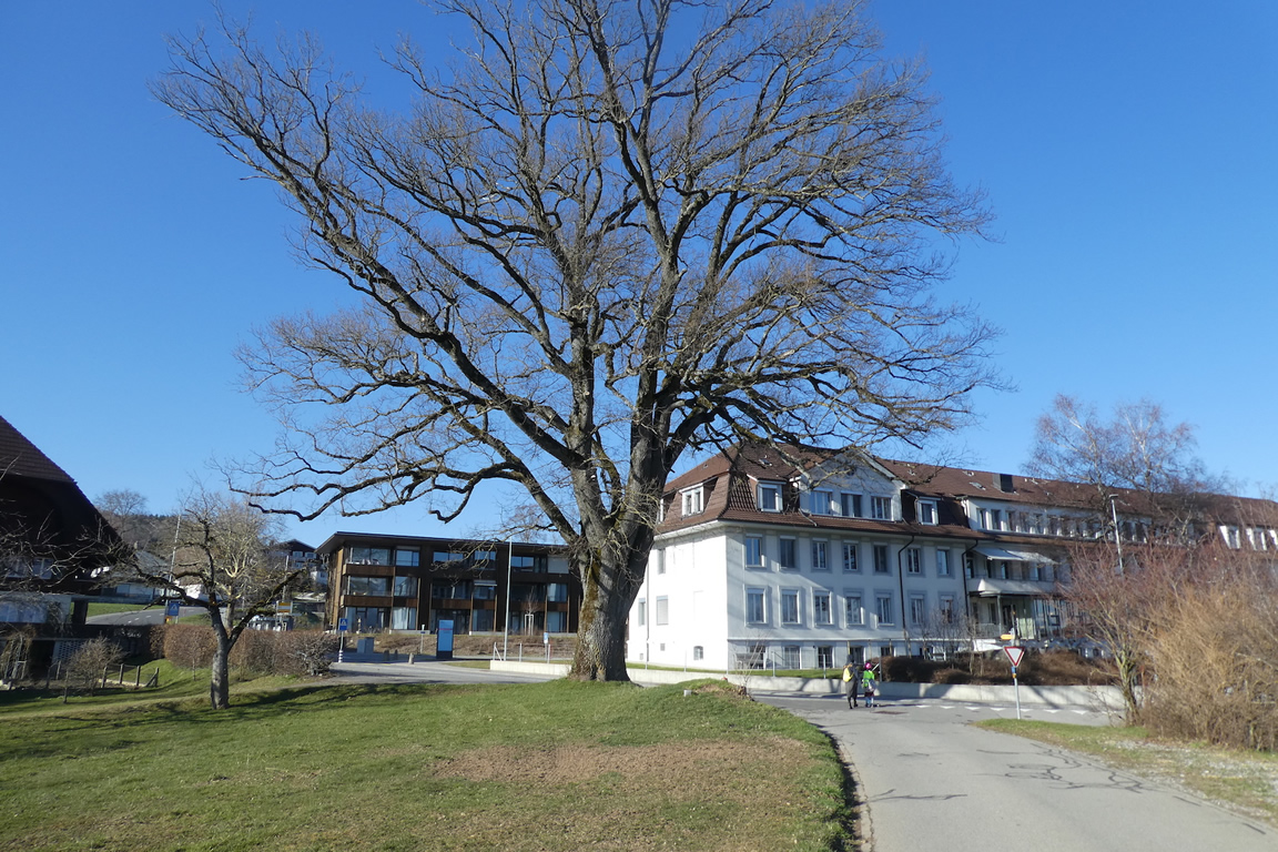
| Schwarzenburg is a small town with nearly 7,000 inhabitants and all kinds of shops. The train also passes through here. The town is dotted with beautiful patrician houses. |
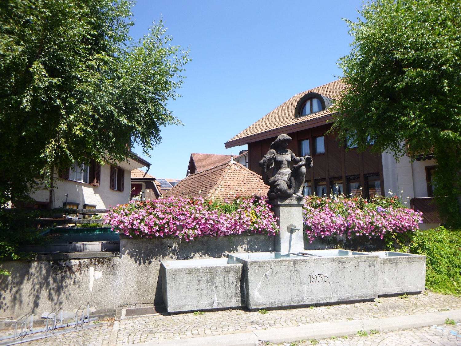 |
 |
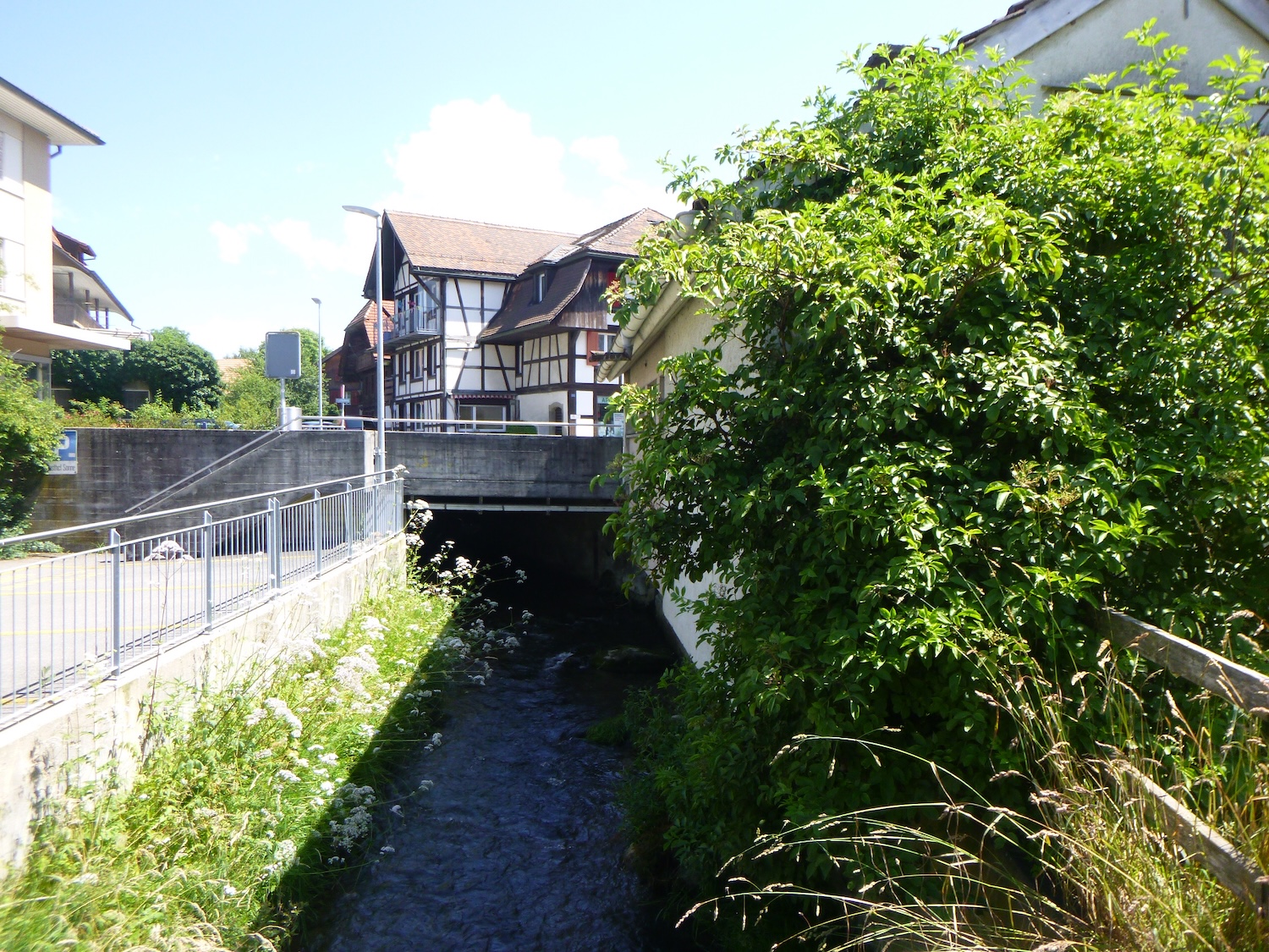
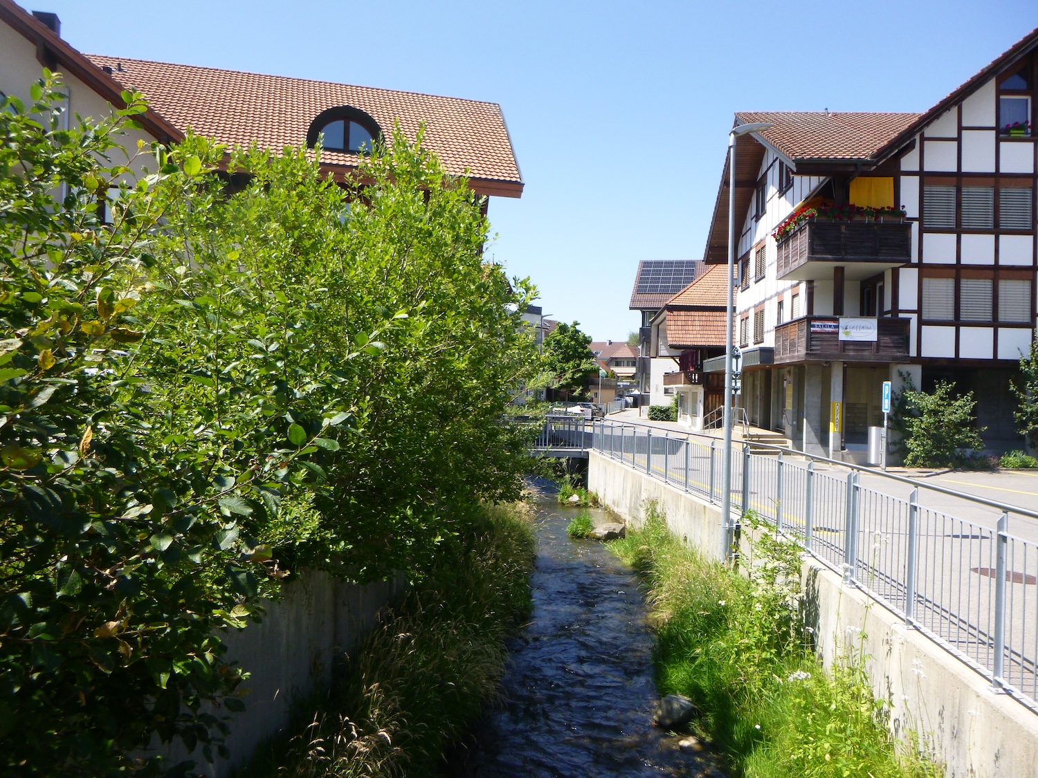
| In the heart of the town, the Dorfbach, like a vital vein, winds through some parts of the center, offering its soothing murmur to passersby. On its banks stand beautiful wooden houses, authentic witnesses of timeless charm. |
 |
 |
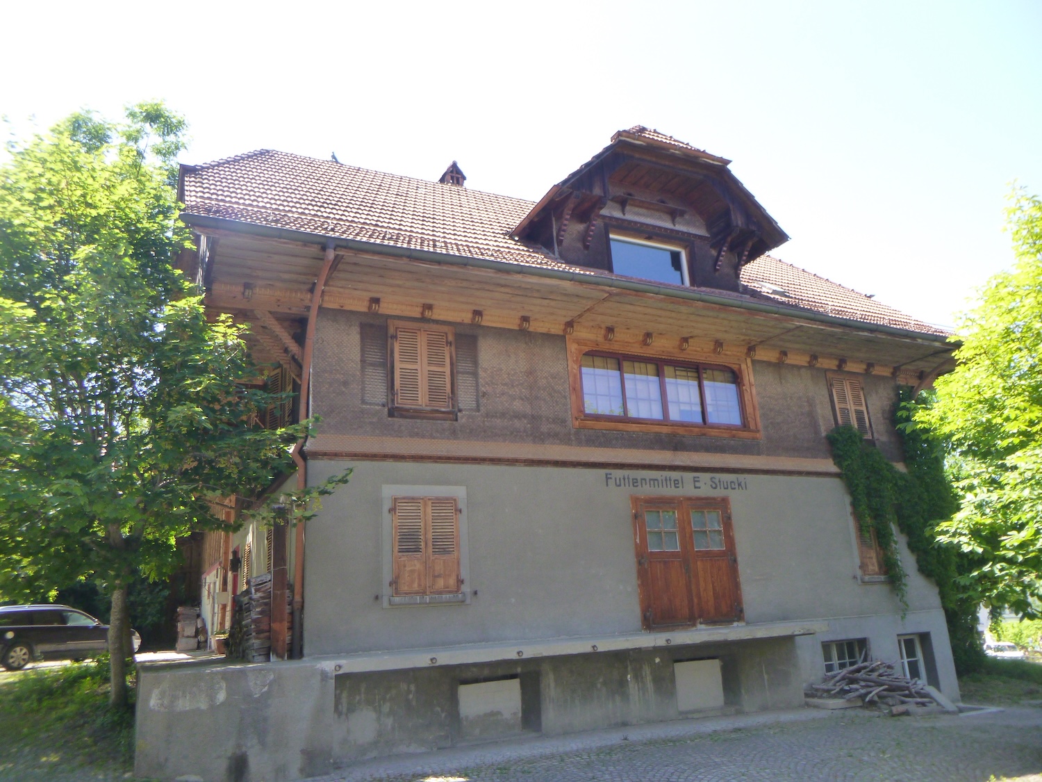
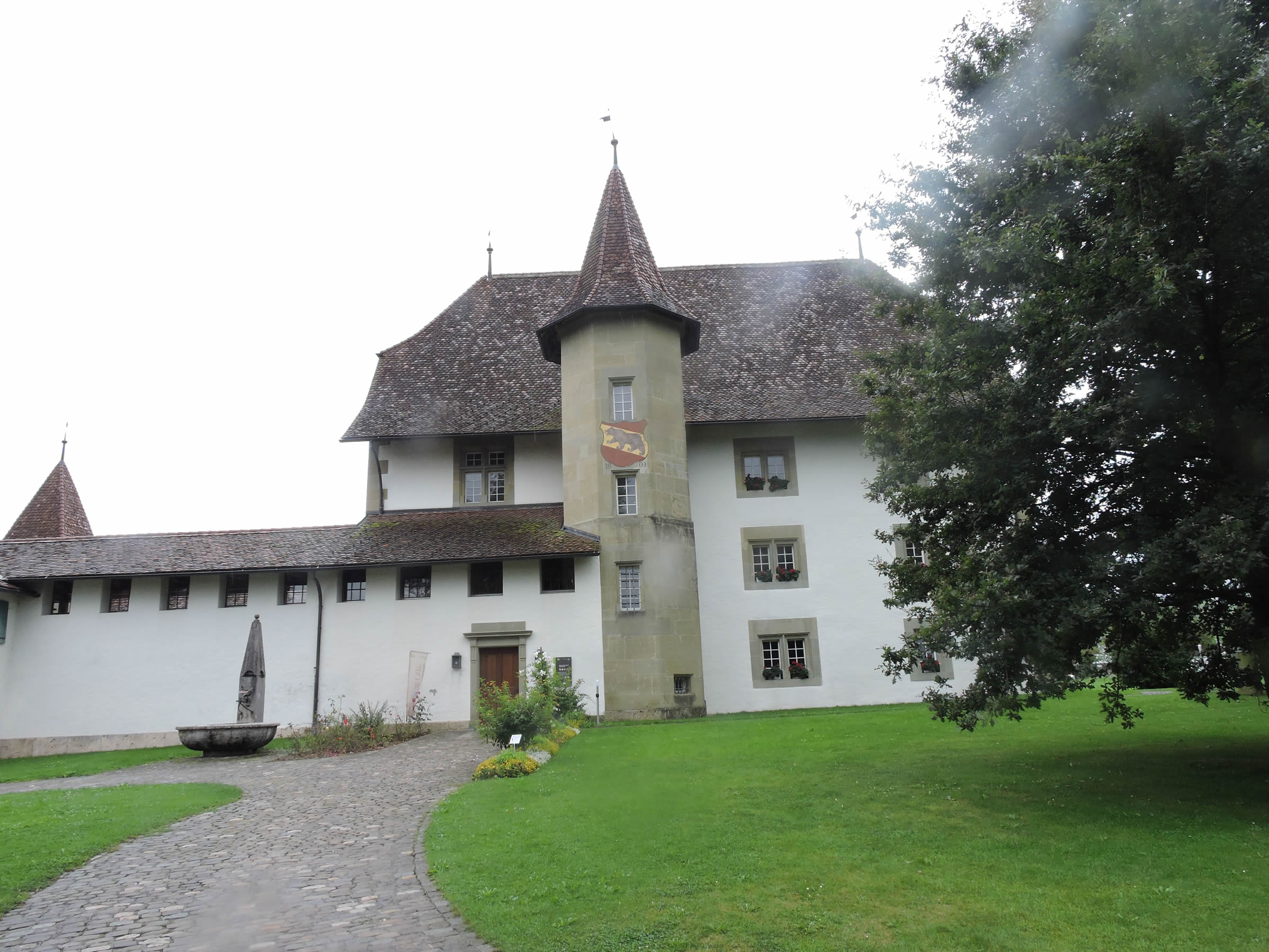
| Activity is mainly concentrated around the small shopping streets near the station. The castle, built at the end of the 16th century, is located in a quiet park outside the town. |
 |
 |
Accommodation on Via Jacobi
- B&B Staufenbühl, Stauffenbühl 140, Stauffenbühl; 033 557 83 83/ 077 413 62 36; Guestroom, dinner, breakfast
- Camping Elbschen, Burgistein; 033 356 36 51; Camping, breakfast
- B&B Aeschenbacher, Breiten 45, Burgistein; 033 356 36 69/079 462 73 62; Guestroom, breakfast
- B&B Ernst Bäckerei, Vordere Gasse 9, Riggisberg; 031 809 36 36/079 416 36 71; Guestroom, breakfast
- B&B Schlossgarten, Schlossweg 5, Riggisberg; 031 808 81 11; Guestroom, breakfast
- Restaurant Brunne, Schlossweg 5, Riggisberg; 031 808 81 43; Guestroom, dinner, breakfast
- Andi et Doris Steller, Dorfstasse 12, Rüeggisberg; 031 809 18 22/079 718 25 27; Gîte, breakfast
- Elisabeth et Jürg Wilen, Unter der Eichen 6, Rüeggisberg; 031 331 67 22; Gîte, breakfast
- Elsbeth et Alfred Buri-Berger, Haslistrasse 16, Rüeggisberg; 031 809 08 30; Gîte, breakfast
- Cottage Holiday Stöckli, Dorfstrasse 22, Rüeggisberg; 031 809 40 80; Gîte, breakfast
- Bettina Zwahlen, Bodmattweg 7, Rüeggisberg; 078 683 92 50; Gîte, breakfast
- Gasthaus Bären, Rüeggisberg; 031 808 03 05; Hotel, dinner, breakfast
- Pfadiheim Pöschen, Freiburgstrasse 98, Schwarzenburg; 031 731 20 64; Youth hostel, breakfast
- Mehrzweckanlage, Schwarzenburg; 031 732 01 00; Gîte communal, breakfast
- B&B Mäder, Katzenstyg 48, Schwarzenburg; 031 731 28 78; Guestroom, dinner, breakfast
- B&B Salzmann, Wartgässli 44, Schwarzenburg; 031 731 28 76/079 627 47 48; Guestroom, breakfast
- B&B Nydegger, Bernstrasse 14, Schwarzenburg; 031 731 15 77; Guestroom, breakfast
- B&B Christen, Zelgweg 34, Schwarzenburg; 031 731 16 45; Guestroom, breakfast
- B&B Schmied, Steinhausstrasse 21, Schwarzenburg; 031 731 05 47; Guestroom, breakfast
- B&B Rebetez, Unters Aebnit 9, Schwarzenburg; 031 731 26 83/079 624 43 34; Guestroom, breakfast
- B&B Leuenberger, Torhalten 1, Schwarzenburg; 031 731 29 75/079 829 95 91; Guestroom, breakfast
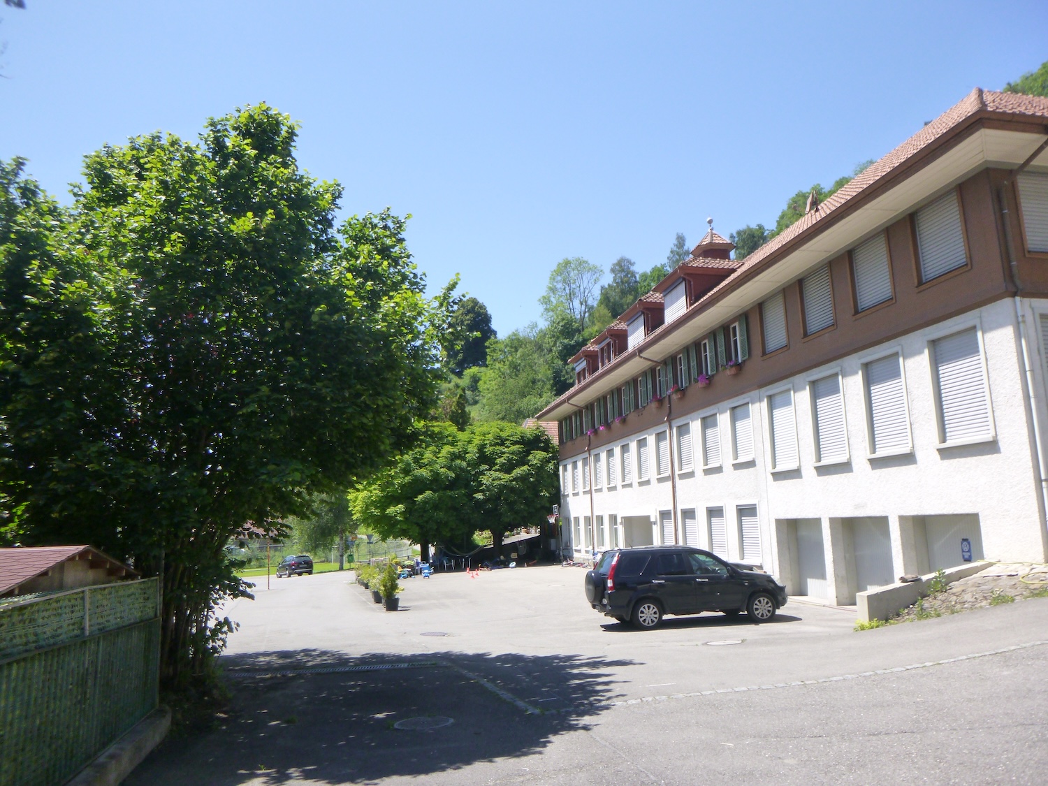
- Ausbildingzentrum, Kirchermatt 2, Schwarzenburg; 058 469 38 11; Hotel, dinner, breakfast
- Gasthof Bühl, Thunstrasse 1, Schwarzenburg; 031 731 01 38; Hotel**, dinner, breakfast
- Hôtel Restaurant Sonne, Dorfplatz 3, Schwarzenburg; 031 731 21 21; Hotel***, dinner, breakfast
Finding accommodation on this stage shouldn’t pose major difficulties. You’ll be in cities with all the necessary amenities. However, it’s still wise to make reservations for peace of mind.
Feel free to add comments. This is often how you move up the Google hierarchy, and how more pilgrims will have access to the site.
|
 |
Next stage : Stage 13: From Schwarzenburg to Fribourg |
|
 |
Back to menu |